The best gravel rides around Ban-Sur-Meurthe-Clefcy
4.4
(129)
871
riders
53
rides
Gravel biking around Ban-Sur-Meurthe-Clefcy offers diverse landscapes within the Vosges mountains, characterized by gentle slopes and an extensive network of unpaved paths. The region features verdant forests of beech, spruce, and fir, alongside glacial formations including unique peat bogs and numerous lakes such as Lac Blanc and Lac de Gérardmer. These varied terrains provide a range of gravel bike trails through forests and meadows, suitable for different skill levels.
Best gravel bike trails around Ban-Sur-Meurthe-Clefcy
- The most popular gravel bike…
Last updated: October 6, 2026
4.2
(13)
60
riders
32.4km
02:22
720m
720m
Hard gravel ride. Very good fitness required. Mostly paved surfaces. Suitable for all skill levels.
4.0
(2)
23
riders
88.6km
06:53
2,200m
2,200m
Hard gravel ride. Very good fitness required. You may need to push your bike for some segments of this route.

4.6
(5)
22
riders
25.3km
02:10
690m
690m
Hard gravel ride. Very good fitness required. Mostly paved surfaces. Suitable for all skill levels.
4.9
(7)
108
riders
87.2km
06:13
2,040m
2,040m
Hard gravel ride. Very good fitness required. Mostly paved surfaces. Suitable for all skill levels.
4.5
(11)
56
riders
51.5km
03:22
960m
960m
Hard gravel ride. Very good fitness required. Mostly paved surfaces. Suitable for all skill levels.
Get access to more routes and recommendations from other explorers.
Already have an account?
Our route recommendations are based on thousands of hikes, rides, and runs completed by other people on komoot.
Start today with a free account
Your next adventure awaits.
Tips from the Community

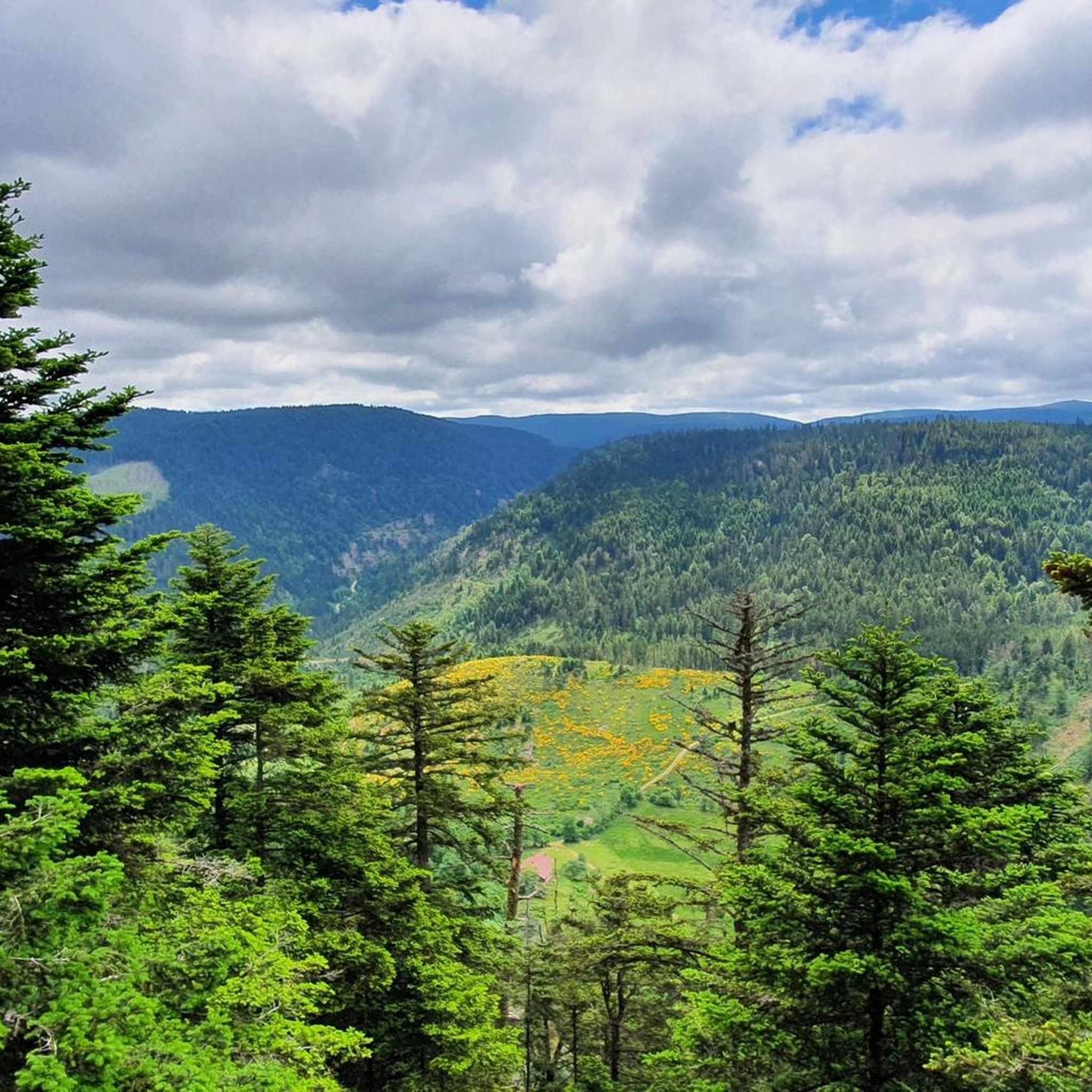
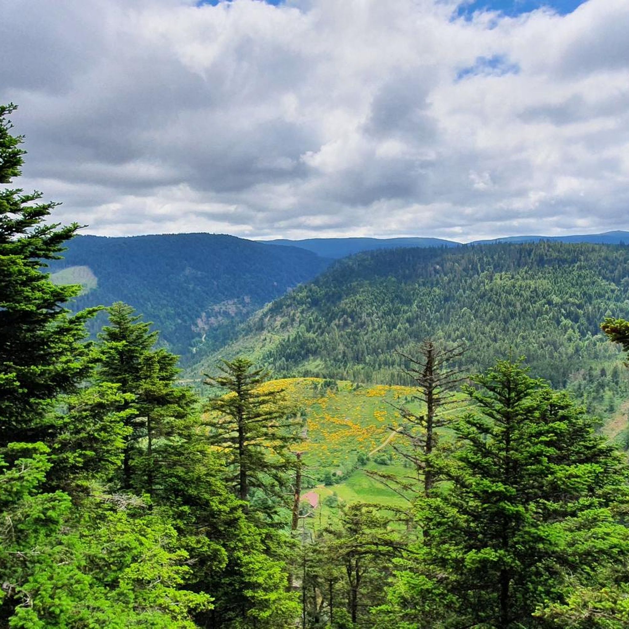
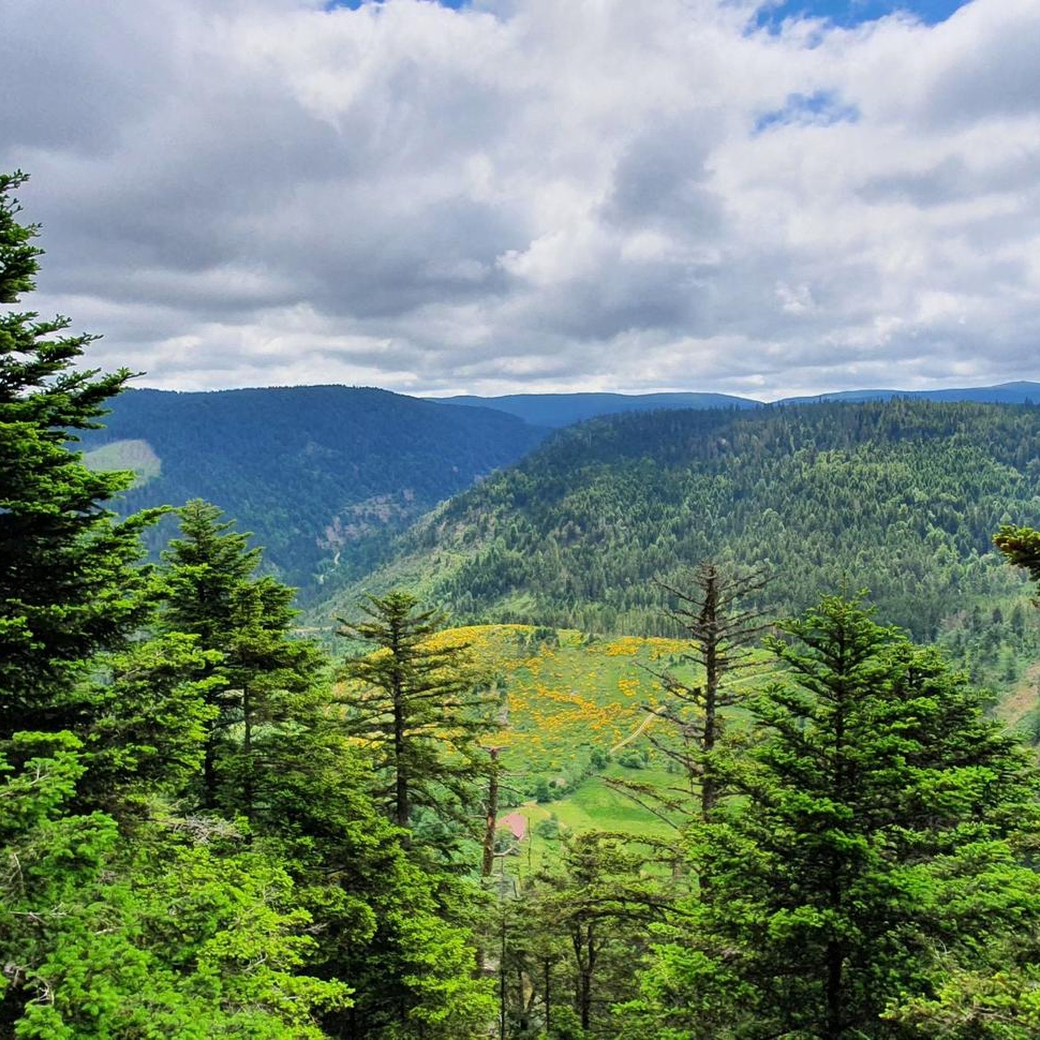
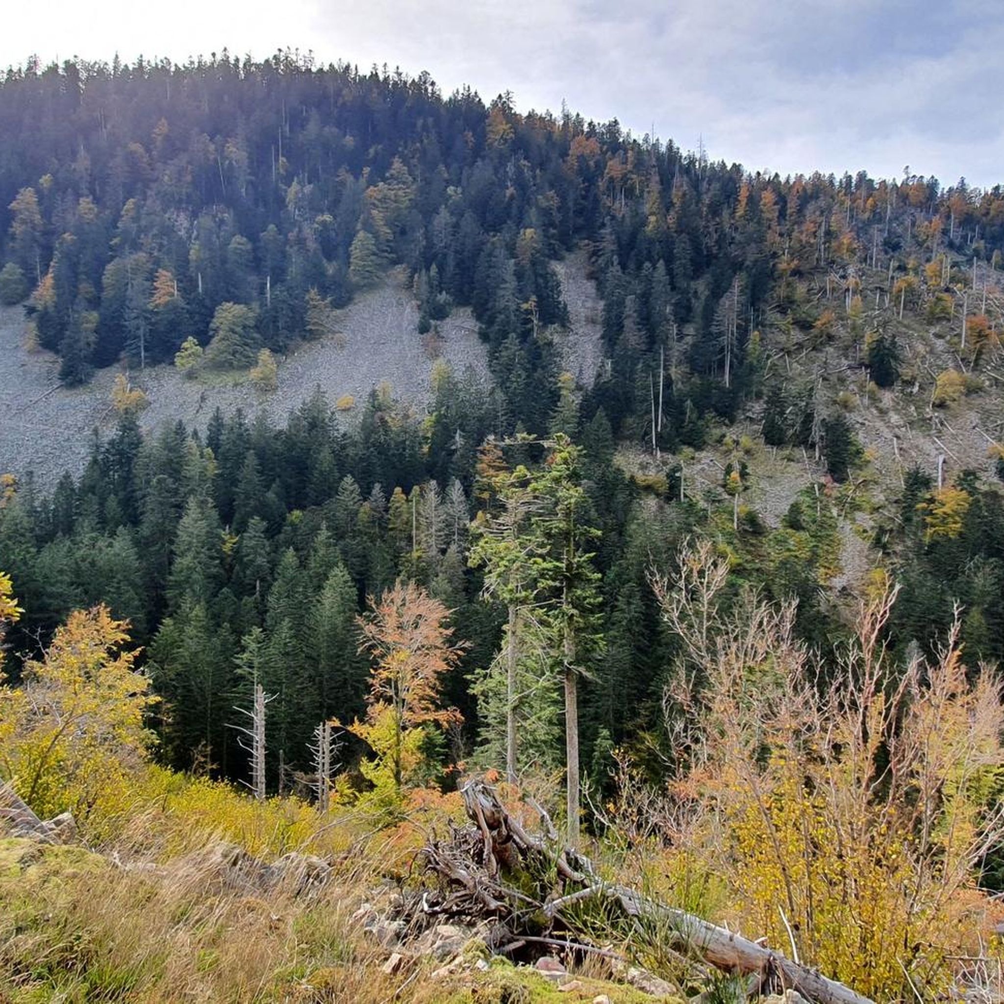
When you drive from the Route des Crêtes towards Le Grand Ballon, you pass the Col du Haag (1233 m) almost unnoticed. Yet, this pass marks a special point on the southern flank of the highest mountain in the Vosges. Here, steep roads from the Thurdal leave the wooded slopes and reach the open heights of the massif. From the col, a typical Vosges landscape unfolds with mountain meadows, scattered farms, and sweeping views. The proximity of the Grand Ballon is felt everywhere: the imposing summit towers above the pass and forms the natural goal of the final climbing kilometers. For cyclists, the Col du Haag is mainly known as the point where difficult climbs from the valleys converge before the road continues to rise to the highest point of the Vosges.
6
0
Le Markstein (1184 m) is meer dan alleen een kruispunt op de Route des Crêtes. Het is echter een echte bergpas en het hoogste punt van de oversteek tussen het Lauch- en Thurdal. Het ligt in het hart van het Vogezenmassief, midden een populair wintersportgebied dat nauw verbonden is met de Grand Ballon
6
0
There are no restaurants or cafes at the summit of the Col de Bramont itself. However, the pass serves as a strategic junction. From the summit, you can directly connect to the famous Route des Crêtes (the D431), which links the main mountain peaks of the Vosges. This allows you to easily cycle or hike to larger attractions nearby, such as the Col de la Schlucht, the Hohneck, or the Grand Ballon. The climb is enjoyable due to its 12 hairpin bends on the southern flank (Kruth).
7
0
Stuwdam Lac de Kruth‑Wildenstein View over the quiet mountain lake on one side, and on the other side the steep, wooded rock face of the Thur valley.
8
0
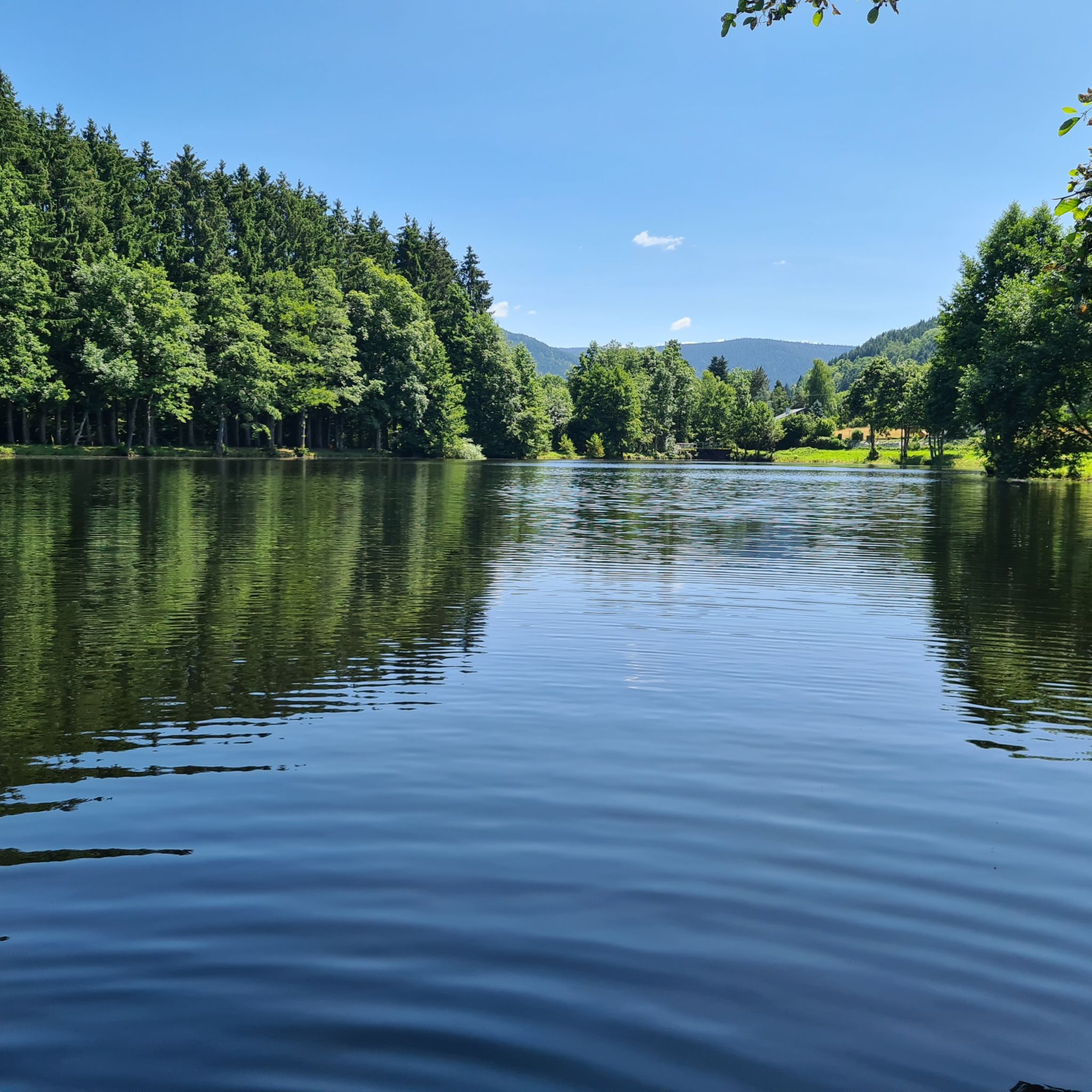
Het Meer van Kruth-Wildenstein (Lac de Kruth-Wildenstein) is een prachtig, kunstmatig stuwmeer in de Elzas (departement Haut-Rhin), gelegen op een hoogte van 545 meter aan de voet van de Col d'Oderen. Met een oppervlakte van 81 hectare is dit diepblauwe meer omringd door beboste berghellingen een van de absolute parels van de Vogezen en een ideaal rust- of startpunt voor wielrenners.
6
0

Brilliant ascent to the pass relatively quiet with a pleasant gradient
4
0

The Sèchemer pond is a small pond that you will find 40 minutes walk from the Lac des Corbeaux. It is possible to get there on foot or by mountain bike. Peaceful and quiet, you can stop there for a picnic and to admire the many dragonflies.
1
0
This is the starting point for many hikes.
3
1
Frequently Asked Questions
How many gravel bike trails are available around Ban-Sur-Meurthe-Clefcy?
There are over 90 gravel bike trails in the Ban-Sur-Meurthe-Clefcy area, offering a wide range of options for different skill levels. The komoot community has explored these routes over 900 times.
What is the best time of year for gravel biking in the Vosges region?
The Vosges region, including Ban-Sur-Meurthe-Clefcy, is excellent for gravel biking from spring through autumn. The forests provide cool respite during warmer months, and the diverse landscapes are beautiful in all seasons. Winter can be challenging due to snow and ice, especially on higher trails.
Are there any easy gravel bike trails suitable for beginners in Ban-Sur-Meurthe-Clefcy?
Yes, while many routes are challenging, there are options for beginners. For example, the Lake Longemer – Étang de Belbriette loop from Xonrupt-Longemer is a moderate 12 km trail that takes less than an hour, offering a good introduction to the region's terrain.
What kind of natural attractions can I expect to see along the gravel bike trails?
The region is rich in natural beauty. You can encounter glacial lakes like Lac Blanc and Lake Lispach, dense forests of beech, spruce, and fir, and unique peat bogs. Some trails also pass by waterfalls, such as the Mérelle Waterfall.
Are there any family-friendly gravel biking options in the area?
Yes, the region's 'non-aggressive' mountain slopes mean there are paths suitable for families. Look for shorter, moderate routes with less elevation gain. The extensive network of unpaved paths through forests and meadows offers safe and enjoyable rides away from traffic.
Can I bring my dog on the gravel bike trails in Ban-Sur-Meurthe-Clefcy?
Many trails in the Vosges are dog-friendly, allowing you to enjoy the ride with your canine companion. However, it's always best to check local regulations or specific trail information, as some protected areas or specific paths like the Sentier des Roches may have restrictions.
Are there any circular gravel bike routes available?
Yes, many of the gravel bike routes in Ban-Sur-Meurthe-Clefcy are designed as loops, allowing you to start and finish at the same point. An example is the challenging La Roche du Diable Rock Arch – Devil's Rock loop from Xonrupt-Longemer, which offers a scenic circular tour.
Where can I find places to rest or get refreshments along the trails?
The region has several huts and inns that can serve as refreshment stops. For instance, the Ferme Auberge du Frankenthal is a notable spot. You might also find other chalets or refuges like the Schantzwasen Inn along various routes.
What do other gravel bikers say about the trails in Ban-Sur-Meurthe-Clefcy?
The gravel biking routes in Ban-Sur-Meurthe-Clefcy are highly rated by the komoot community, with an average score of 4.5 stars from over 120 reviews. Riders often praise the diverse terrain, the peaceful forest paths, and the stunning views of the glacial lakes and mountains.
Are there any trails that offer panoramic views of the Vosges mountains?
Absolutely. The region is known for its viewpoints. While not directly on a gravel route listed, the Hohneck, the second-highest peak in the Vosges, offers breathtaking panoramic views of the Vosges mountains and the Alsace plain. Many trails will offer glimpses of these expansive landscapes, and you can find specific viewpoints like this Viewpoint highlighted by the community.
What is the typical difficulty level of gravel bike trails in this area?
The trails around Ban-Sur-Meurthe-Clefcy range from moderate to difficult. While there are a few moderate options, the majority of the 96 available routes are classified as difficult, featuring challenging climbs and varied forest paths. Riders should be prepared for mountainous terrain.
Are there any long-distance gravel biking routes in Ban-Sur-Meurthe-Clefcy?
Yes, the area offers several longer routes for experienced riders. One of the most extensive is the Green Lake – Schlucht pass loop from Xonrupt-Longemer, which spans 88.4 km and typically takes nearly 7 hours to complete, navigating through dense forests and mountainous terrain.
Most popular routes around Ban-Sur-Meurthe-Clefcy
Most popular attractions around Ban-Sur-Meurthe-Clefcy

Get inspired with the komoot mobile app


Explore more
Browse the best Gravel rides in other regions.
