The best MTB trails around Ban-Sur-Meurthe-Clefcy
4.3
(2153)
13,128
riders
323
rides
Mountain biking around Ban-Sur-Meurthe-Clefcy offers a diverse landscape characterized by dense forests, rolling hills, and scenic lake areas. The region features varied terrain, including challenging ascents and descents through wooded valleys and along mountain passes like the Col du Surceneux. Riders can expect a mix of natural trails and forest roads, providing options for different skill levels.
Best mountain bike trails around Ban-Sur-Meurthe-Clefcy
- The most popular mountain bike trail is Lac de Retournemer – Lac de Retournemer loop from Lac…
Last updated: October 8, 2026
4.5
(35)
166
riders
38.5km
03:45
1,140m
1,140m
Hard mountain bike ride. Very good fitness required. Advanced riding skills necessary.
4.6
(35)
508
riders
Hard mountain bike ride. Good fitness required. Advanced riding skills necessary. Some portions of the route may require you to push your bike.

5.0
(3)
56
riders
71.1km
05:45
1,640m
1,640m
Hard mountain bike ride. Very good fitness required. Advanced riding skills necessary. Some portions of the route may require you to push your bike.
4.6
(8)
78
riders
Easy mountain bike ride. Great for any fitness level. Suitable for all skill levels.
3.8
(6)
30
riders
32.2km
03:03
950m
950m
Hard mountain bike ride. Very good fitness required. Advanced riding skills necessary. Some portions of the route may require you to push your bike.
Get access to more routes and recommendations from other explorers.
Already have an account?
Our route recommendations are based on thousands of hikes, rides, and runs completed by other people on komoot.
Start today with a free account
Your next adventure awaits.
Tips from the Community

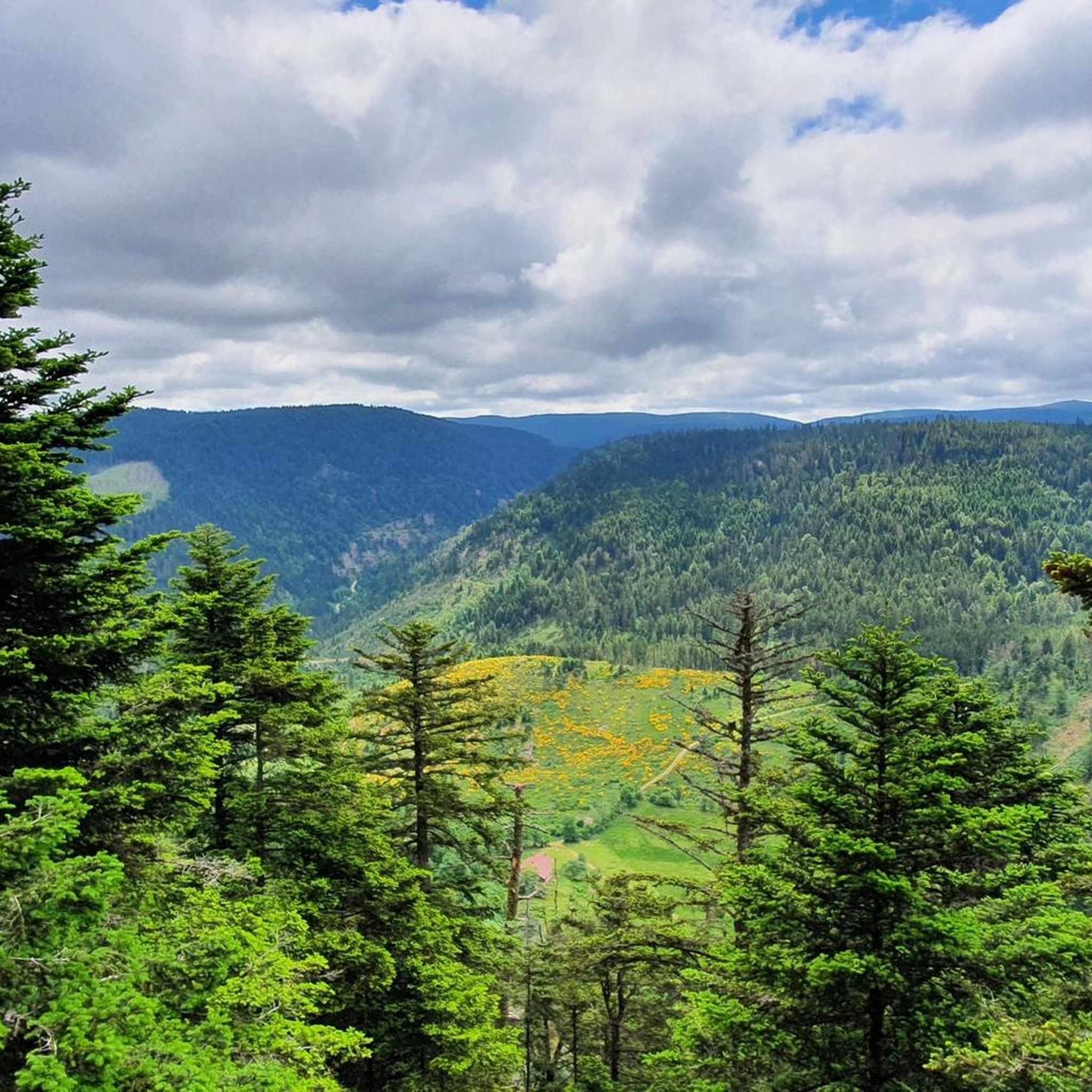
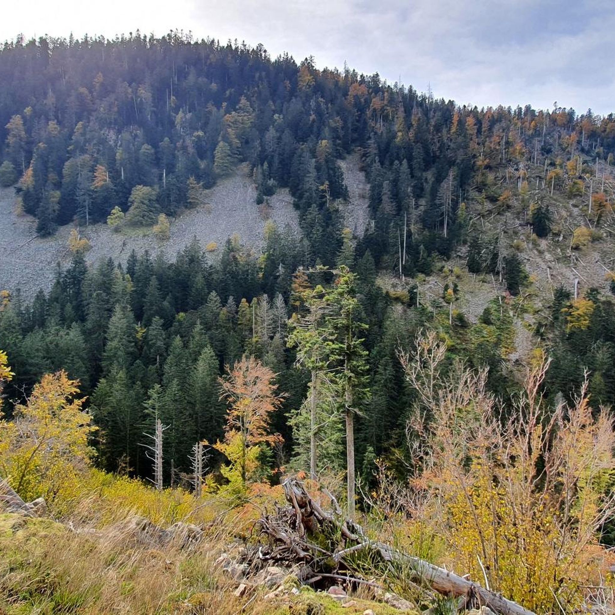
There are no restaurants or cafes at the summit of the Col de Bramont itself. However, the pass serves as a strategic junction. From the summit, you can directly connect to the famous Route des Crêtes (the D431), which links the main mountain peaks of the Vosges. This allows you to easily cycle or hike to larger attractions nearby, such as the Col de la Schlucht, the Hohneck, or the Grand Ballon. The climb is enjoyable due to its 12 hairpin bends on the southern flank (Kruth).
3
0
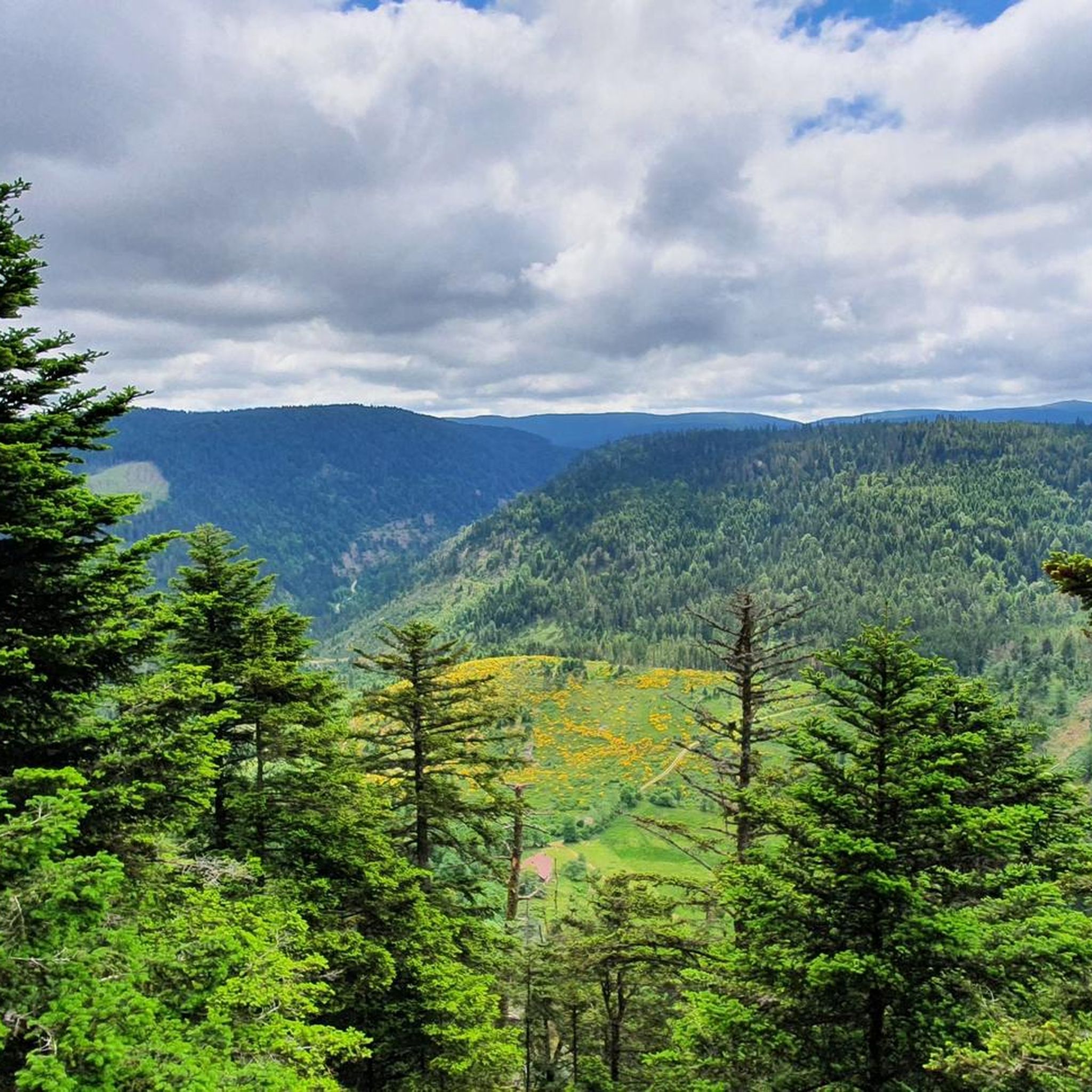
The Cascade du Bockloch is an atmospheric waterfall in Alsace (Haut-Rhin department), located on the wooded northeastern bank (right bank) of the Kruth-Wildenstein Lake. The waterfall is fed by the Hinterbockloch mountain stream, which originates on the slopes of the nearby Grand Ventron massif. Water plunges here via an abrupt, steep rock face about 12 meters down into a small, photogenic basin, just before it flows into the reservoir.
4
0

Brilliant ascent to the pass relatively quiet with a pleasant gradient
4
0

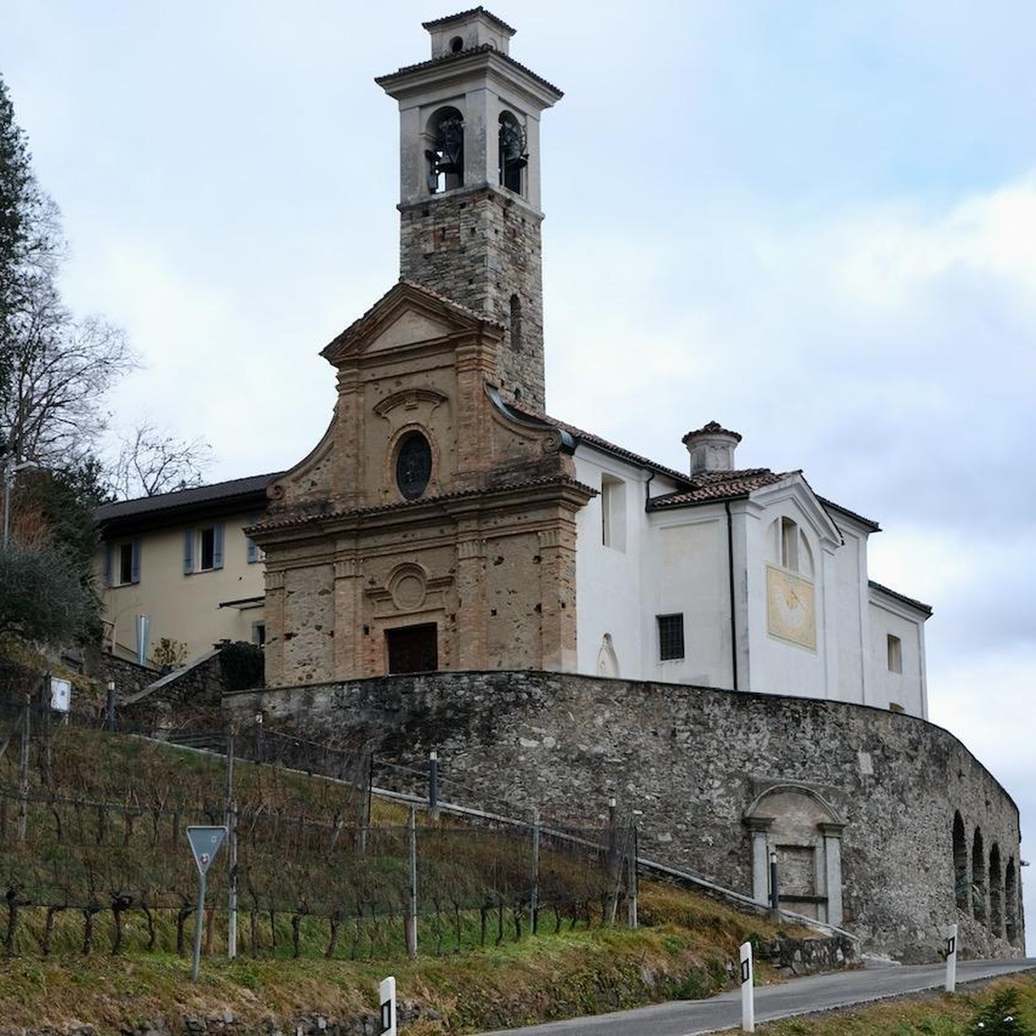
This is the starting point for many hikes.
3
1

Nice place to sit on the benches. And there is a snack bar and a (dirty) toilet building
0
0


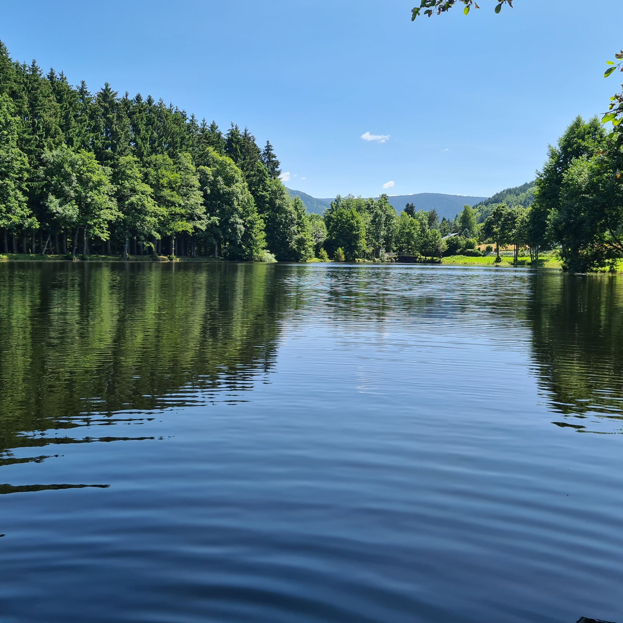
Looks like a reservoir. Not as nice as Blanchemer. Still nice enough.
1
0
Frequently Asked Questions
How many mountain bike trails are there around Ban-Sur-Meurthe-Clefcy?
There are over 340 mountain bike trails available around Ban-Sur-Meurthe-Clefcy, offering a wide range of options for different skill levels and preferences.
Are there easy mountain bike trails suitable for beginners in Ban-Sur-Meurthe-Clefcy?
Yes, Ban-Sur-Meurthe-Clefcy offers a good selection of easy mountain bike trails. There are 39 easy routes, such as the Belbriette Heathland – Étang de Belbriette loop from Réserve biologique dirigée de la Tourbière du Col du Surceneux, which is 7.2 miles long and takes about an hour to complete, leading through heathland and forest.
What kind of terrain can I expect on mountain bike trails in this region?
The region is characterized by diverse terrain, including dense forests, rolling hills, and scenic lake areas. You'll find a mix of natural trails and forest roads, with challenging ascents and descents through wooded valleys and along mountain passes like the Col du Surceneux.
Are there any challenging mountain bike routes for experienced riders?
Absolutely. For experienced riders, there are 141 difficult mountain bike trails. Routes like the Lac de Retournemer – Lac de Retournemer loop from Lac de Retournemer, a 21.8-mile trail with significant elevation gain, offer demanding rides through scenic lake areas. Another challenging option is the Étang de Belbriette – Beautiful view loop from Le Haut Grain, which is 23.9 miles long and features expansive views and demanding climbs.
What are some scenic viewpoints or natural attractions I can visit while mountain biking?
Many trails offer stunning views and pass by natural attractions. You can find routes that lead to highlights such as Lac Blanc, Lac du Forlet, or the Mérelle Waterfall. The Viewpoint near Lake Lispach also offers panoramic vistas.
What is the best time of year for mountain biking in Ban-Sur-Meurthe-Clefcy?
The best time for mountain biking in Ban-Sur-Meurthe-Clefcy is typically from spring through autumn (April to October). During these months, the weather is generally mild, and trails are clear of snow, offering optimal riding conditions. Winter riding can be challenging due to snow and ice, especially at higher elevations.
Are there any mountain bike routes that are loops?
Yes, many mountain bike routes in the area are designed as loops, allowing you to start and finish at the same point. Examples include the Trail Along Lac de Retournemer – Lac de Retournemer loop from Lac de Retournemer and the Col du Bonhomme – Louchpach Pass loop from Fraize.
What do other mountain bikers say about the trails in Ban-Sur-Meurthe-Clefcy?
The mountain bike trails in Ban-Sur-Meurthe-Clefcy are highly rated by the komoot community, with an average score of 4.3 stars from over 1600 reviews. Riders often praise the varied terrain, the beauty of the dense woodlands and scenic lake areas, and the options available for different skill levels.
Are there any specific areas known for good mountain biking, like the Col du Surceneux?
Yes, the region features mountain passes like the Col du Surceneux, which offers varied terrain and is a notable area for mountain biking. Trails in this vicinity, such as the Belbriette Heathland – Étang de Belbriette loop from Réserve biologique dirigée de la Tourbière du Col du Surceneux, provide a good experience.
What are the typical durations for mountain bike tours in this area?
Tour durations vary significantly based on difficulty and length. Easy trails might take around an hour, while difficult routes like the 21.8-mile Lac de Retournemer – Lac de Retournemer loop from Lac de Retournemer can take approximately 3 hours and 25 minutes. Longer, more challenging routes can extend to 4 hours or more.
Are there any hidden gems or lesser-known trails worth exploring?
While specific 'hidden gems' are often discovered by local exploration, the region's extensive network of over 340 trails means there are always less-trafficked paths to find. Exploring the trails around the smaller lakes or those venturing deeper into the dense forests can often lead to a more secluded experience.
Most popular routes around Ban-Sur-Meurthe-Clefcy
Most popular attractions around Ban-Sur-Meurthe-Clefcy

Get inspired with the komoot mobile app


Explore more
Browse the best MTB trails in other regions.
