The best gravel rides around Quaix-En-Chartreuse
4.6
(131)
787
riders
28
rides
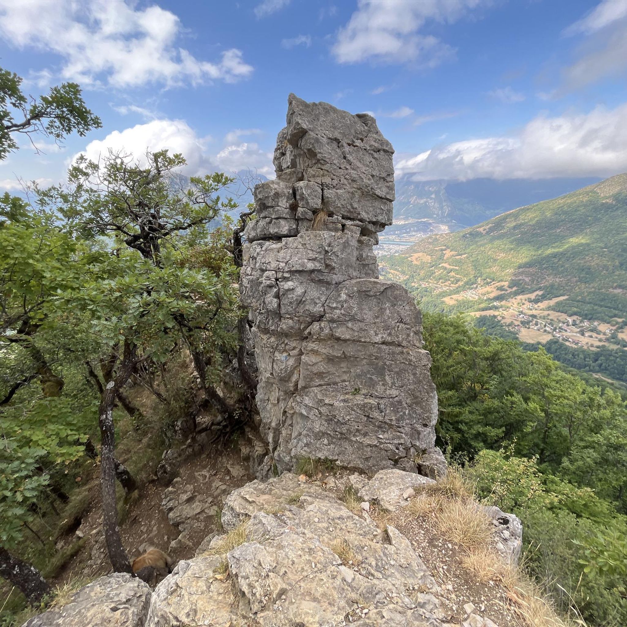
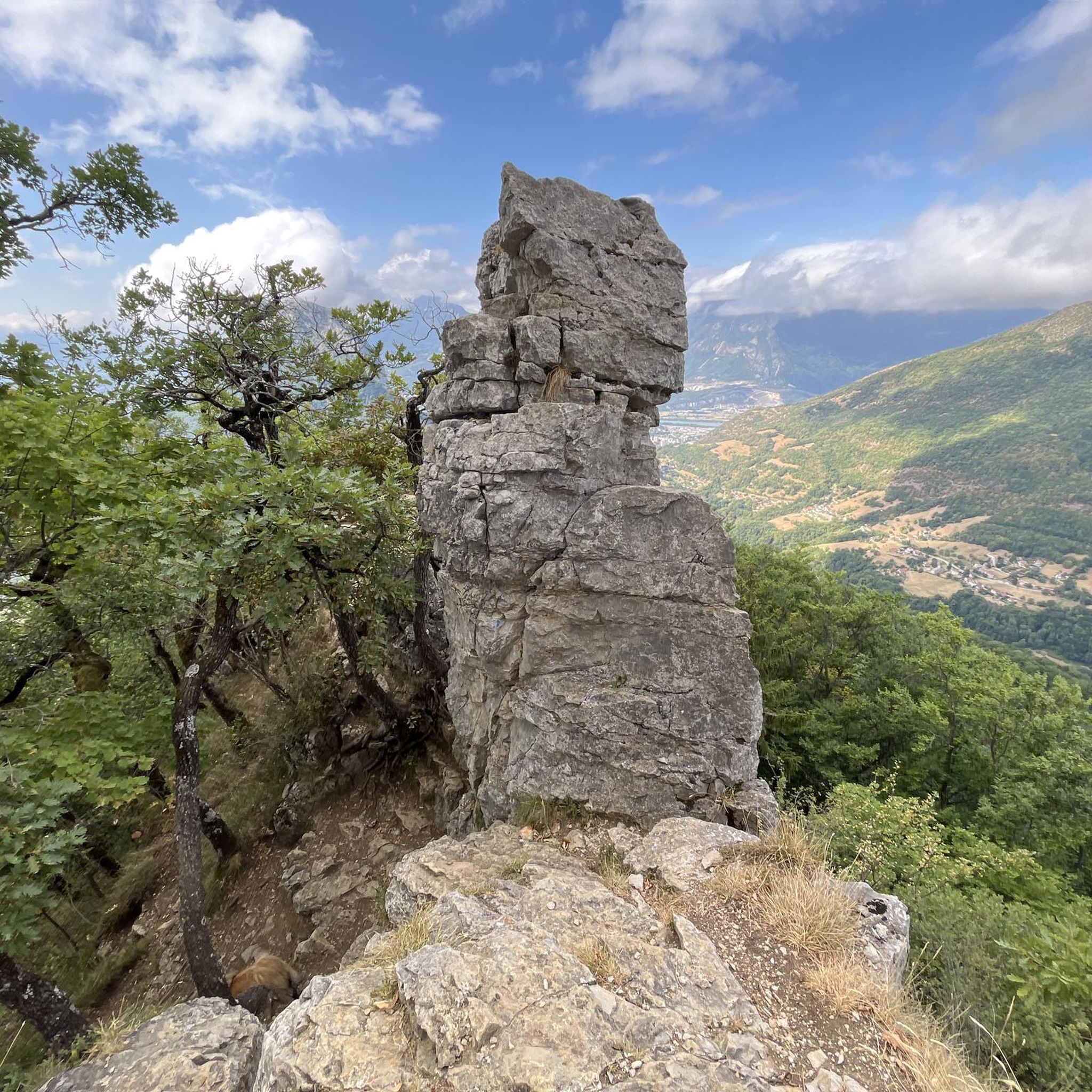
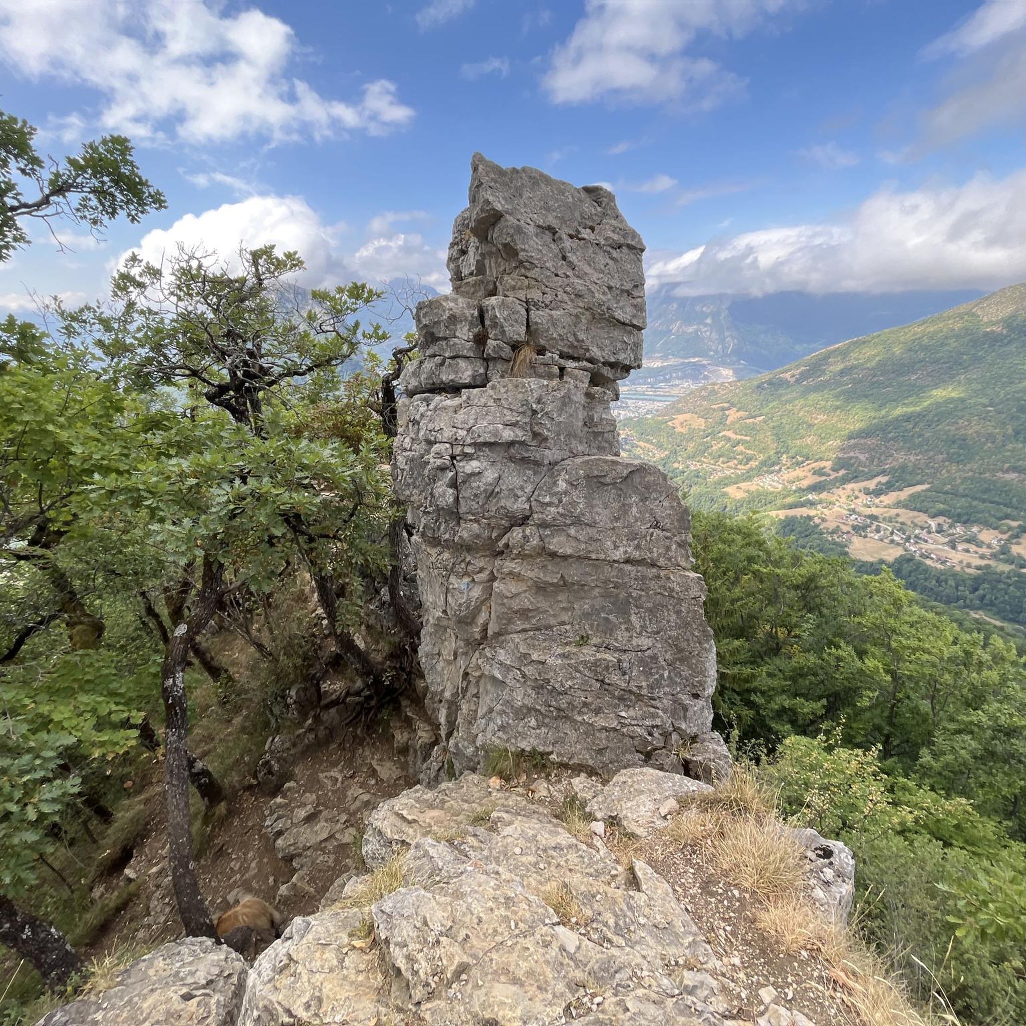
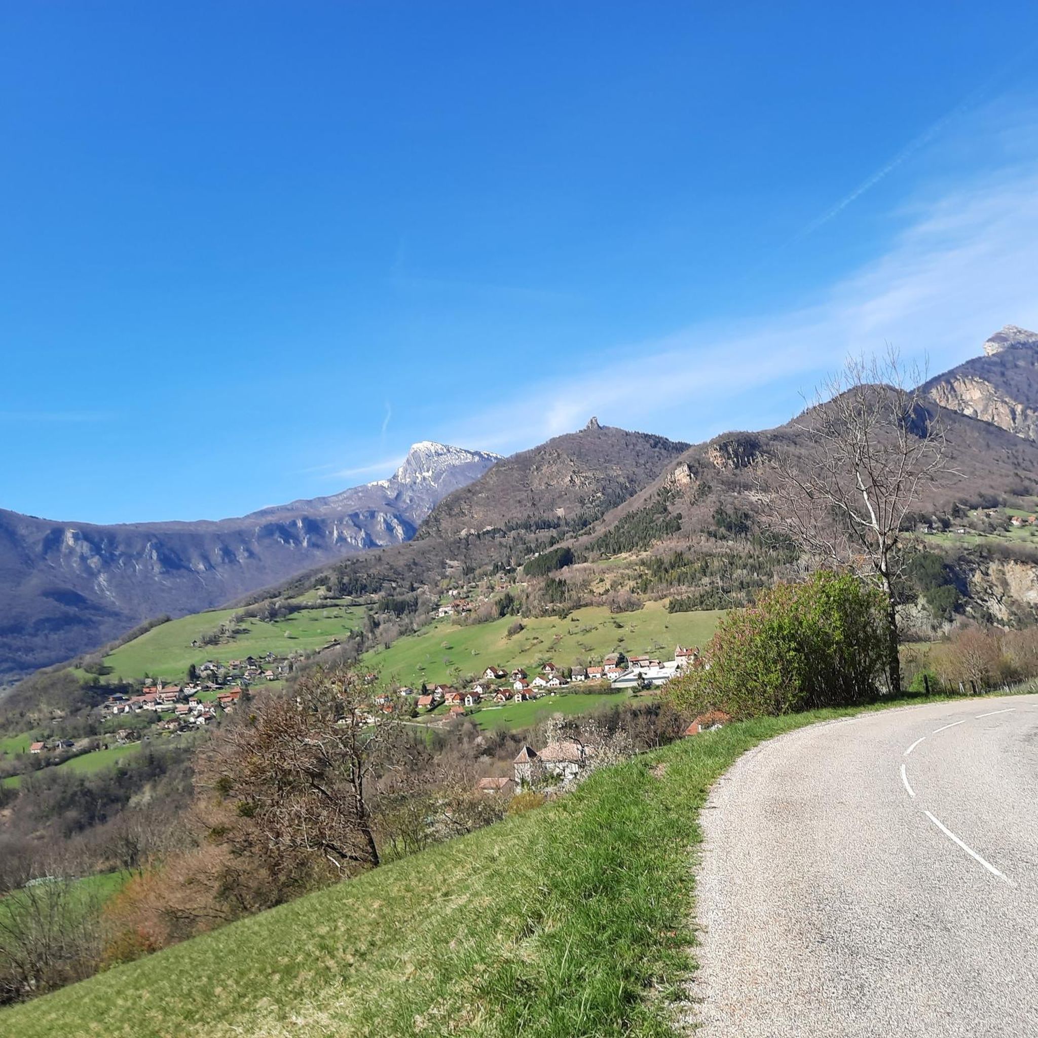
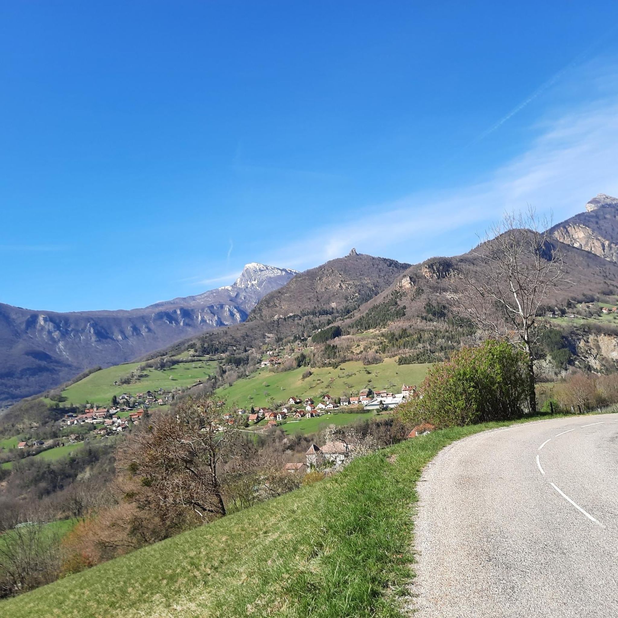
Gravel biking around Quaix-En-Chartreuse offers a diverse landscape characterized by mountainous terrain, dense forests, and scenic valleys. The region provides a mix of challenging ascents and more gentle paths, suitable for various gravel biking preferences. Many routes utilize historic tracks and forest roads, providing varied surfaces for gravel bikes. The area's topography ensures a range of elevation changes across its network of trails.
Best gravel bike trails around Quaix-En-Chartreuse
- The most popular gravel bike trail is View of Grenoble –…
Last updated: November 16, 2026
4.3
(6)
52
riders
Moderate gravel ride. Good fitness required. Mostly paved surfaces.
4.8
(24)
122
riders
25.2km
01:12
40m
40m
Easy gravel ride. Mostly paved surfaces.

4.3
(4)
21
riders
55.9km
04:06
1,390m
1,390m
Hard gravel ride. Very good fitness required. Mostly paved surfaces.
4.8
(4)
24
riders
27.4km
02:09
720m
720m
Hard gravel ride. Very good fitness required. You may need to push your bike for some segments of this route.
5.0
(1)
27
riders
79.1km
05:01
1,350m
1,350m
Hard gravel ride. Very good fitness required. Mostly paved surfaces.
Get access to more routes and recommendations from other explorers.
Already have an account?
Our route recommendations are based on thousands of hikes, rides, and runs completed by other people on komoot.
Start today with a free account
Your next adventure awaits.

Tips from the Community

Summer is a very pleasant small road by bike, it's cool and there is little traffic. In winter, it can be very cold
0
0

Great straight in soft gravel. The route remains pleasant with views of the Chartreuse while staying on the flat.
0
0

The col de la Croix Perrin, located at an altitude of 1218m on the border of the municipalities of Autrans-Méaudre en Vercors and Lans-en-Vercors, is a major site for forestry, hospitality, and history. Here you take the direction of the Espace Naturel Sensible de la Molière-Sornin. It is said that here, a certain Mr. Perrin had an unfortunate encounter with a bear, when they were still present in the Vercors.
0
0
Balcony with a view of Lans en Vercors.
0
0
Autrans-Méaudre en Vercors is a new commune, born from the fusion of the villages of Autrans and Méaudre on January 1, 2016.
0
0
Autrans-Méaudre en Vercors is a new commune, born from the fusion of the villages of Autrans and Méaudre on January 1, 2016.
0
0
The path runs for 3.2 km between the two municipalities, with a part on stilts to preserve the wetland; the second part is a forest track in the middle of the woods. The river is crossed thanks to secure footbridges.
0
0

Nice flat gravel path to avoid the very busy road between St Laurent du Pont and St Joseph de rivière, up to the Demay bridge. Runs along the l'Herretang canal
0
0
Frequently Asked Questions
How many gravel bike trails are available around Quaix-En-Chartreuse?
There are over 60 gravel bike trails in the Quaix-En-Chartreuse region, offering a wide range of options for different skill levels and preferences. The network includes 3 easy routes, 14 moderate routes, and 49 difficult routes.
Are there any family-friendly gravel biking routes in Quaix-En-Chartreuse?
Yes, for families or those seeking a more relaxed ride, the region offers several easier options. A notable family-friendly route is the Island of Love Park – Meylan Footbridge loop from Grenoble, which is an easy 26 km (16.2 miles) trail leading through parkland and along waterways.
What is the best time of year for gravel biking in Quaix-En-Chartreuse?
The best time for gravel biking in Quaix-En-Chartreuse is typically from spring through autumn (April to October). During these months, the weather is generally milder, and the trails are more accessible. Winter can bring snow and ice, especially at higher elevations, making many routes challenging or impassable.
Are there any long-distance gravel bike routes in the area?
For those looking for a longer challenge, the region offers routes that extend over 40 km. One such route is the difficult Faucherand gallery – Old streetcar track loop from Grenoble, which covers 40.8 km (25.3 miles) with significant elevation gain.
What kind of terrain can I expect on gravel bike trails around Quaix-En-Chartreuse?
Gravel bike trails in Quaix-En-Chartreuse are characterized by mountainous terrain, dense forests, and scenic valleys. You'll encounter a mix of challenging ascents and more gentle paths, often utilizing historic tracks and forest roads. Surfaces vary, providing a true gravel biking experience with diverse elevation changes.
Are there any circular gravel bike routes available?
Yes, many of the gravel bike routes in Quaix-En-Chartreuse are designed as loops, allowing you to start and end at the same point. Examples include the difficult View of Grenoble – Old streetcar track loop from Grenoble and the Désert J.J. Rousseau – Jean Jacques Rousseau desert loop from Grenoble.
What are some notable viewpoints or landmarks along the gravel bike routes?
The region offers several scenic viewpoints and historic landmarks. You can find stunning vistas such as the View of Grenoble from Route de Narbonne. Additionally, historical sites like the Fort of Saint-Eynard and Sassenage Castle are also nearby.
What do other gravel bikers enjoy most about the trails in Quaix-En-Chartreuse?
The gravel bike trails in Quaix-En-Chartreuse are highly rated by the komoot community, with an average score of 4.5 stars from over 170 reviews. Riders often praise the diverse landscape, the mix of challenging climbs and scenic descents, and the opportunity to explore historic tracks and forest roads.
Are there any routes that pass through mountain passes?
Yes, the mountainous terrain means several routes offer the chance to cycle over or near mountain passes. Notable passes in the vicinity include Col de Porte (1326 m), Col du Coq, and Clémencières Pass. The Quaix-en-Chartreuse – Clémencières Pass loop from Fontaine specifically incorporates a pass.
What is the difficulty level of most gravel bike trails in Quaix-En-Chartreuse?
The majority of gravel bike trails in Quaix-En-Chartreuse are rated as difficult, with 49 out of 66 routes falling into this category. These routes typically feature significant elevation changes and technical sections, catering to experienced gravel bikers. However, there are also moderate and easy options available for less experienced riders.
Are there any routes that follow old railway or streetcar tracks?
Yes, the region features routes that utilize historic infrastructure. For example, the difficult View of Grenoble – Old streetcar track loop from Grenoble follows an old streetcar track, offering varied terrain and unique historical context.
Most popular routes around Quaix-En-Chartreuse
Most popular attractions around Quaix-En-Chartreuse

Get inspired with the komoot mobile app


Explore more
Browse the best Gravel rides in other regions.
