Saint-Martin-De-Queyrières
Saint-Martin-De-Queyrières
The best gravel rides around Saint-Martin-De-Queyrières
4.6
(131)
1,216
riders
50
rides
Gravel biking around Saint-Martin-De-Queyrières offers routes through mountainous terrain at the convergence of the Serre Chevalier and Vallouise valleys, alongside the Durance river gorges. The region is characterized by wide paths and tracks that traverse the nearby Queyras and Guillestrois mountains, leading to summer pastures. This landscape provides varied terrain for gravel cyclists, from rolling paths to winding trails, with significant elevation changes and an alpine environment featuring snow-capped peaks and extensive forests.
Best gravel bike trails around Saint-Martin-De-Queyrières
- The…
Last updated: October 6, 2026
1
riders
46.6km
06:14
1,790m
1,790m
Hard gravel ride. Very good fitness required. You may need to push your bike for some segments of this route.
4.0
(6)
40
riders
28.4km
02:15
900m
900m
Hard gravel ride. Very good fitness required. Mostly paved surfaces. Suitable for all skill levels.

16
riders
47.7km
04:11
1,530m
1,530m
Hard gravel ride. Very good fitness required. Mostly paved surfaces. Suitable for all skill levels.
4.0
(1)
14
riders
34.5km
03:16
1,040m
1,040m
Hard gravel ride. Very good fitness required. Mostly paved surfaces. Suitable for all skill levels.
4.3
(4)
18
riders
47.0km
04:00
1,460m
1,460m
Hard gravel ride. Very good fitness required. Mostly paved surfaces. Suitable for all skill levels.
Get access to more routes and recommendations from other explorers.
Already have an account?
Our route recommendations are based on thousands of hikes, rides, and runs completed by other people on komoot.
Start today with a free account
Your next adventure awaits.
Popular around Saint-Martin-De-Queyrières
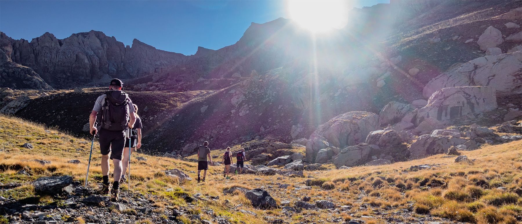
Écrins National Park and more – hikes in and around Puy Saint Vincent
Road Cycling Routes around Saint-Martin-De-Queyrières
MTB Trails around Saint-Martin-De-Queyrières
Cycling around Saint-Martin-De-Queyrières
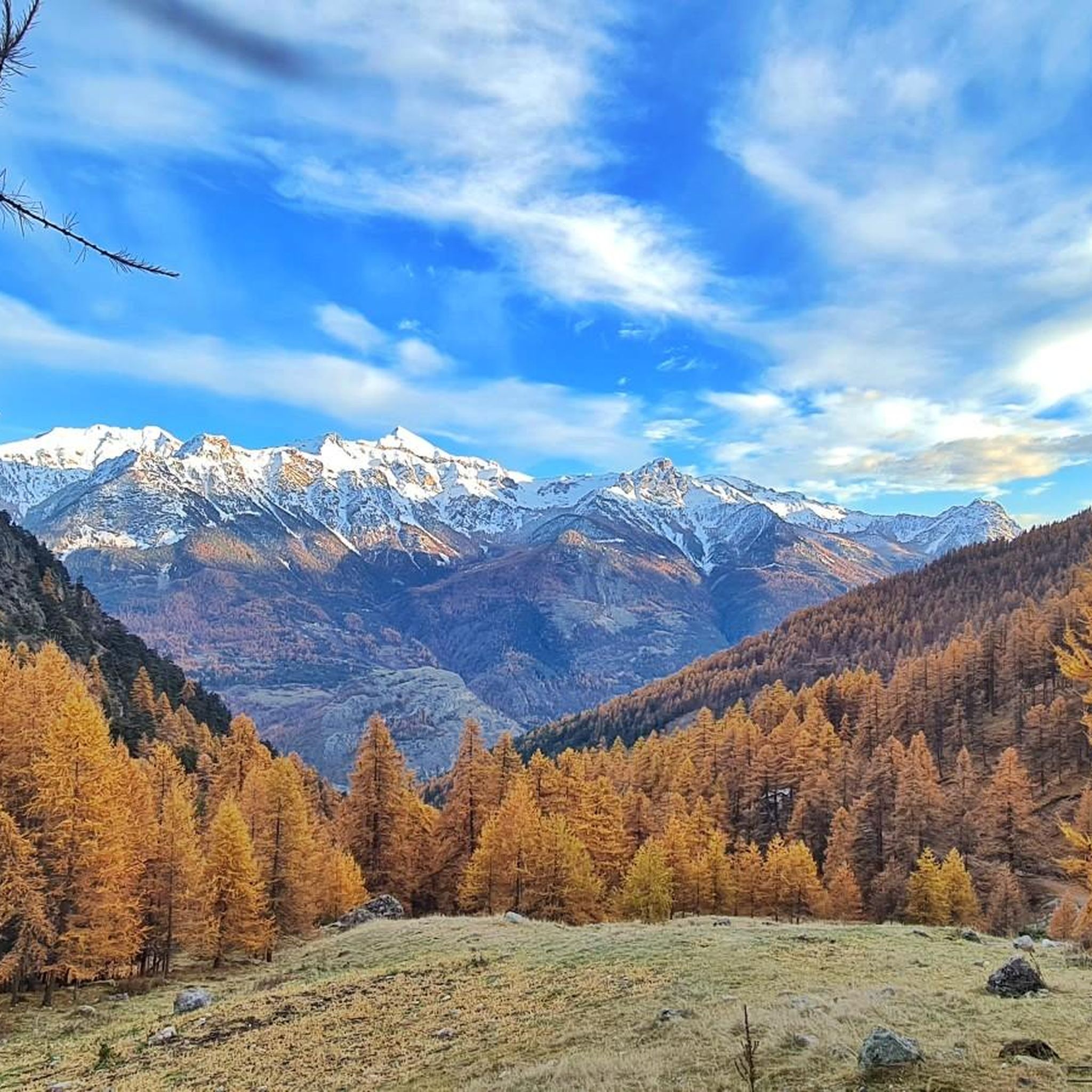
Hiking around Saint-Martin-De-Queyrières
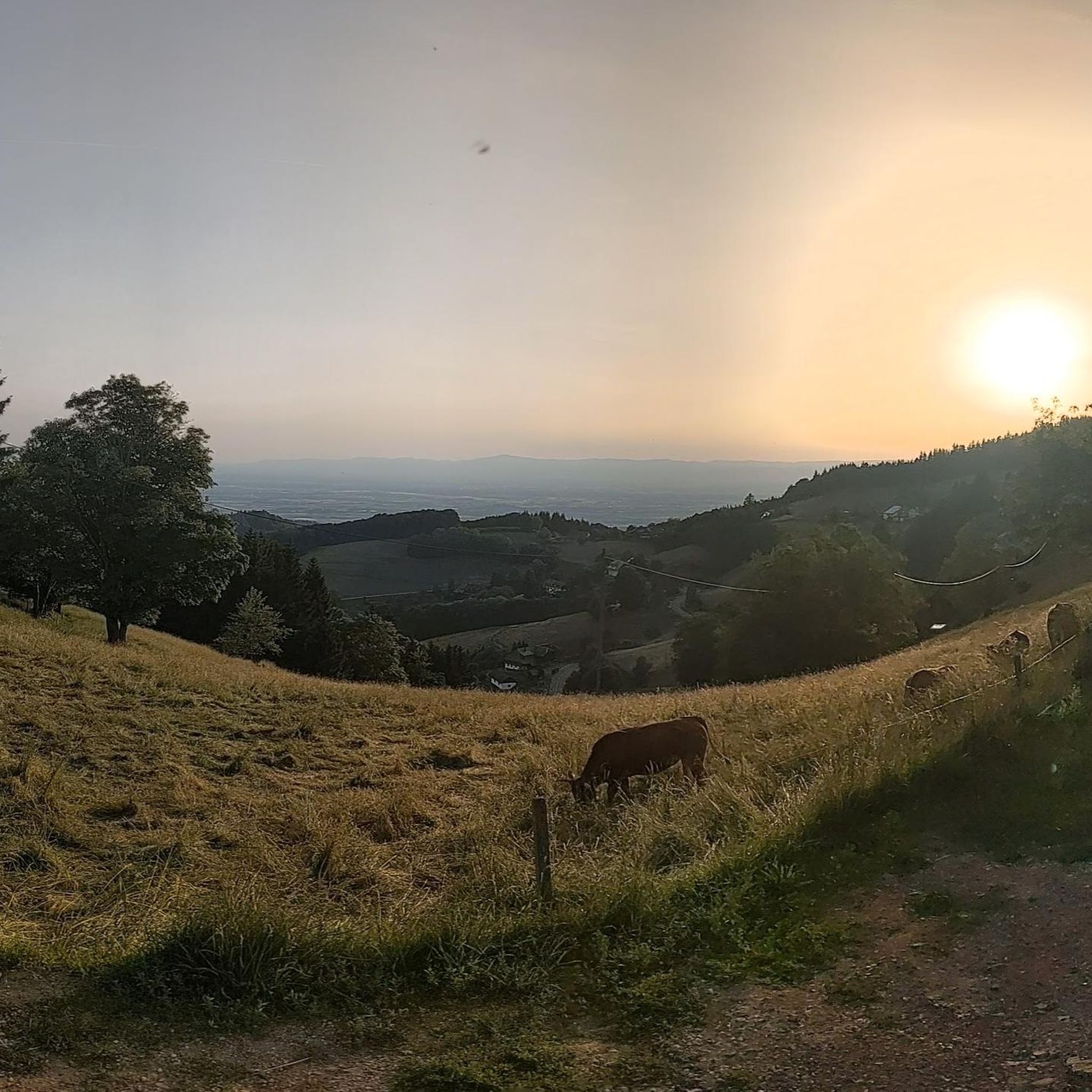
Mountain Hikes around Saint-Martin-De-Queyrières
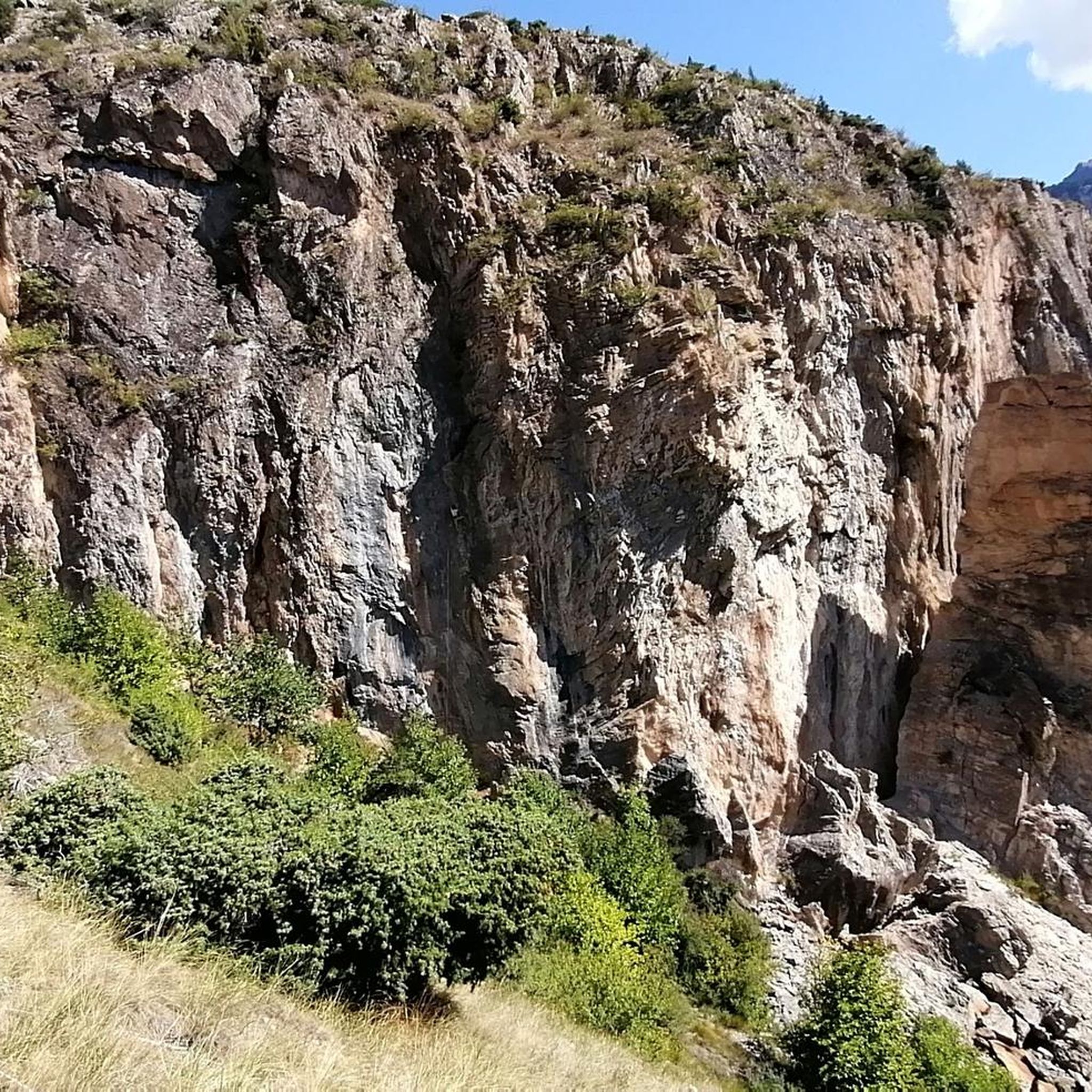
Running Trails around Saint-Martin-De-Queyrières
Other adventures around Saint-Martin-De-Queyrières

Tips from the Community

A very very beautiful lake. That said, if you are looking for peace and quiet and for there to be no people, this is not the place.
1
0

Beautiful plateau that is reached after a long climb with a beautiful view
0
0
Beautiful stretch below the Tete de la Rochaille
0
0

In the heart of the Moon Mountains, a crossing point for Lago Nero, Capanna Mautino, and Lago Gignoux
2
0


Amazing singletrack in the forest! Nice berms, easy hairpins, a couple of jumps…never too difficult. A must in the area!🤩
0
0

The stretch is about 1 km long with very steep slopes, so you need to manage your effort well.
18
0

A high border pass with a full 360° panorama: the peaks of the Écrins, the Izoard pass, beautifull Vallée des Fonts below, and the rolling hills of Piemonte stretching into Italy. All around, the remnants of history, stone fortresses like Fort Janus, silent sentinels on the ridge.
0
0
Frequently Asked Questions
How many gravel bike trails are available in Saint-Martin-De-Queyrières?
There are over 50 gravel bike trails around Saint-Martin-De-Queyrières, offering a diverse range of experiences. These routes are rated from moderate to difficult, catering to various skill levels.
What kind of terrain can I expect on gravel bike trails around Saint-Martin-De-Queyrières?
The region offers a rich tapestry of terrain, from wide paths and tracks that meander through the nearby Queyras and Guillestrois mountains to winding trails with significant elevation changes. You'll encounter mountainous landscapes, the scenic Durance river gorges, and the diverse environments of the Vallouise valley, including summer pastures and larch forests.
Are there any beginner-friendly gravel bike routes in the area?
While many routes are challenging, there are 8 moderate-difficulty gravel bike trails suitable for those looking for a less strenuous ride. An excellent option is the Vallouise – Vallouise loop from Les Vigneaux, which explores the Vallouise valley with gentle climbs over 11.8 miles (19.0 km).
What are some challenging gravel bike routes for experienced riders?
For experienced riders, Saint-Martin-De-Queyrières offers 44 difficult routes. The Views of the Durance – Vallouise loop from Villar-Saint-Pancrace is a demanding 30.4 miles (48.9 km) path with expansive views and significant ascents. Another challenging option is the Vallouise – Gravel in the Vallouise valley loop from L'Argentière-les-Écrins, covering 18.8 miles (30.3 km) through diverse landscapes.
Are there any circular gravel bike routes in Saint-Martin-De-Queyrières?
Yes, many of the gravel bike trails in the region are circular, allowing you to start and end at the same point. Examples include the Vallouise – Vallouise loop from Les Vigneaux and the Views of the Durance – Vallouise loop from Villar-Saint-Pancrace, both offering complete loops through the stunning scenery.
What natural features or viewpoints can I expect to see along the gravel bike trails?
The trails offer breathtaking views of the Durance river gorges and the surrounding mountainous terrain. You can also explore areas within the magnificent Écrins National Park. Notable viewpoints and natural monuments include Tête d'Oréac, La Casse Déserte, and the Plateau de Chambran.
Are there any historical landmarks or attractions near the gravel biking routes?
Yes, the region is rich in history. You can find historical sites like military forts and charming villages. Nearby attractions include the historic town of Briançon, its impressive Briançon Castle, and the ancient Pont d'Asfeld.
What is the best time of year for gravel biking in Saint-Martin-De-Queyrières?
The best time for gravel biking is generally from spring through autumn. During these seasons, the weather is more favorable, and the high mountain passes are typically clear of snow, allowing access to the full network of trails and the expansive summer pastures.
Are there any routes that pass by lakes or water features?
Yes, some routes offer views of beautiful water features. For example, the Eygliers Lake – The Durance loop from L'Argentière-les-Écrins takes you past Eygliers Lake and along the Durance river. You can also find the stunning Lac de l'Eychauda in the wider region.
What do other gravel bikers enjoy most about Saint-Martin-De-Queyrières?
The komoot community highly rates the gravel biking experience here, with an average score of 4.4 stars from over 90 reviews. Riders frequently praise the diverse landscapes, from the Durance river gorges to the high mountain pastures, and the challenging yet rewarding nature of the trails.
Is it possible to find parking near the gravel bike trailheads?
Yes, many trailheads in and around Saint-Martin-De-Queyrières, particularly in villages like Les Vigneaux, Villar-Saint-Pancrace, and L'Argentière-les-Écrins, offer parking options. It's advisable to check specific route details for the most convenient parking spots.
Can I access these gravel bike trails using public transport?
Saint-Martin-De-Queyrières and surrounding towns like L'Argentière-les-Écrins have some public transport connections, including train services. While direct access to all trailheads might require some planning, it is possible to reach starting points for many routes using a combination of public transport and short rides.
Most popular routes around Saint-Martin-De-Queyrières
Most popular attractions around Saint-Martin-De-Queyrières

Get inspired with the komoot mobile app


Explore more
Browse the best Gravel rides in other regions.
