Saint-Martin-De-Queyrières
Saint-Martin-De-Queyrières
The best MTB trails around Saint-Martin-De-Queyrières
4.5
(878)
7,720
riders
14
rides
Mountain biking around Saint-Martin-De-Queyrières offers diverse landscapes and challenging terrain in the Hautes-Alpes department of southeastern France. The region is characterized by the dramatic Durance gorges, views of the Écrins Massif, and extensive larch forests. Trails extend from its nine hilltop hamlets, providing an authentic High-Alpine experience for riders.
Best mountain bike trails around Saint-Martin-De-Queyrières
- The most popular mountain bike trail is Red Melezin Trail, a 23.5 miles (37.8 km) trail that takes 4 hours 26 minutes to complete.…
Last updated: October 10, 2026
4.4
(27)
201
riders
37.8km
04:27
1,400m
1,400m
Tackle the difficult 23.5-mile mountain biking trail to Lac de l'Orceyrette, gaining 4584 feet through ancient forests and stunning views.
4.5
(11)
149
riders
31.2km
03:32
1,150m
1,150m
Hard mountain bike ride. Very good fitness required. Advanced riding skills necessary.

4.2
(5)
61
riders
17.4km
02:00
710m
710m
Moderate mountain bike ride. Good fitness required. Advanced riding skills necessary.
4.3
(3)
37
riders
18.7km
02:13
740m
740m
Hard mountain bike ride. Good fitness required. Advanced riding skills necessary. Some portions of the route may require you to push your bike.
3.0
(1)
15
riders
15.9km
01:41
510m
510m
Moderate mountain bike ride. Good fitness required. Suitable for all skill levels.
Get access to more routes and recommendations from other explorers.
Already have an account?
Our route recommendations are based on thousands of hikes, rides, and runs completed by other people on komoot.
Start today with a free account
Your next adventure awaits.
Popular around Saint-Martin-De-Queyrières
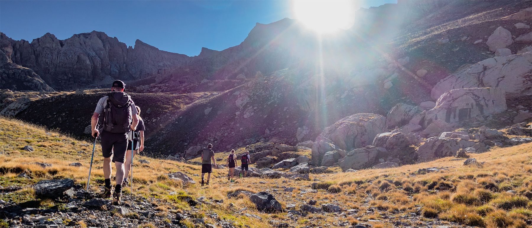
Écrins National Park and more – hikes in and around Puy Saint Vincent
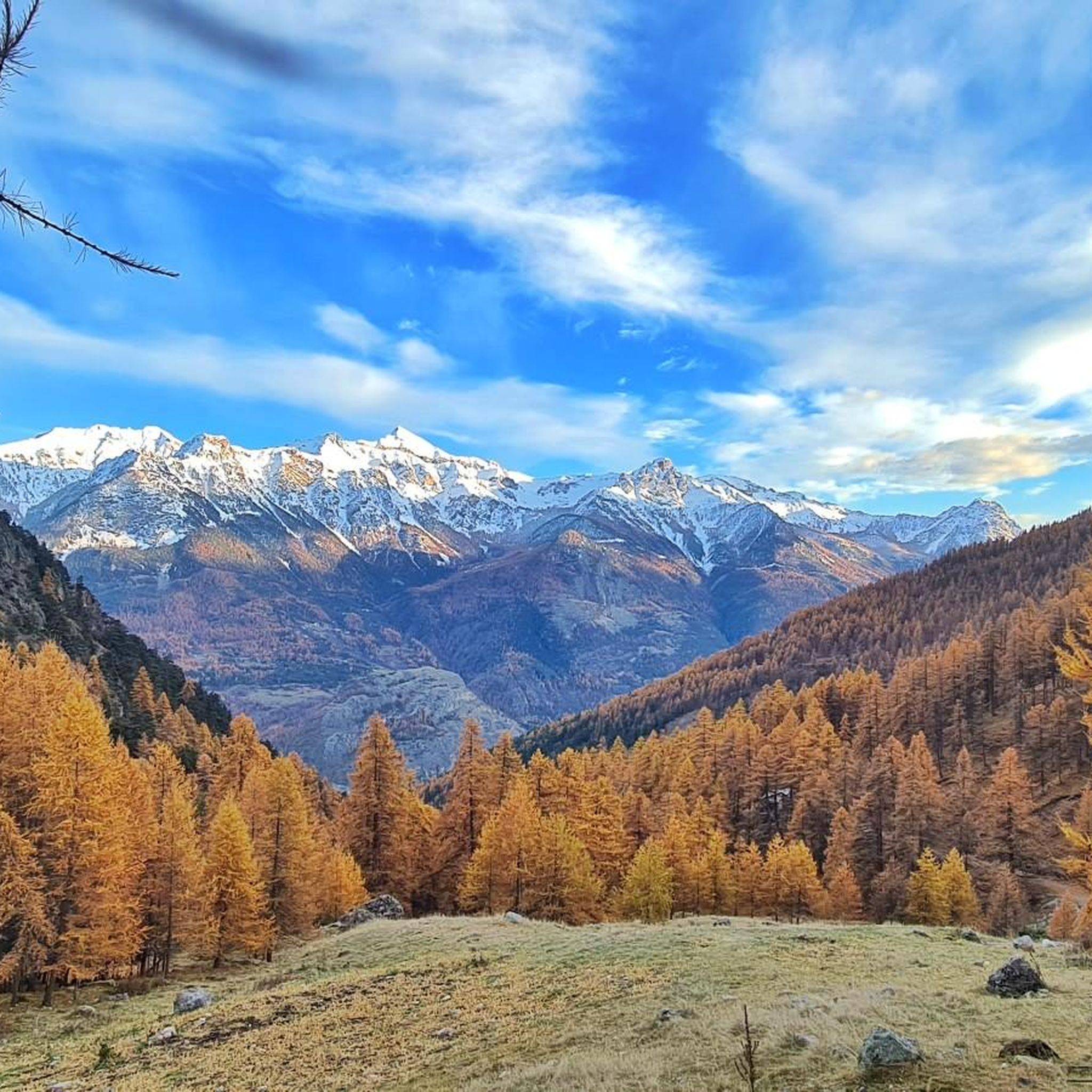
Road Cycling Routes around Saint-Martin-De-Queyrières

Gravel biking around Saint-Martin-De-Queyrières
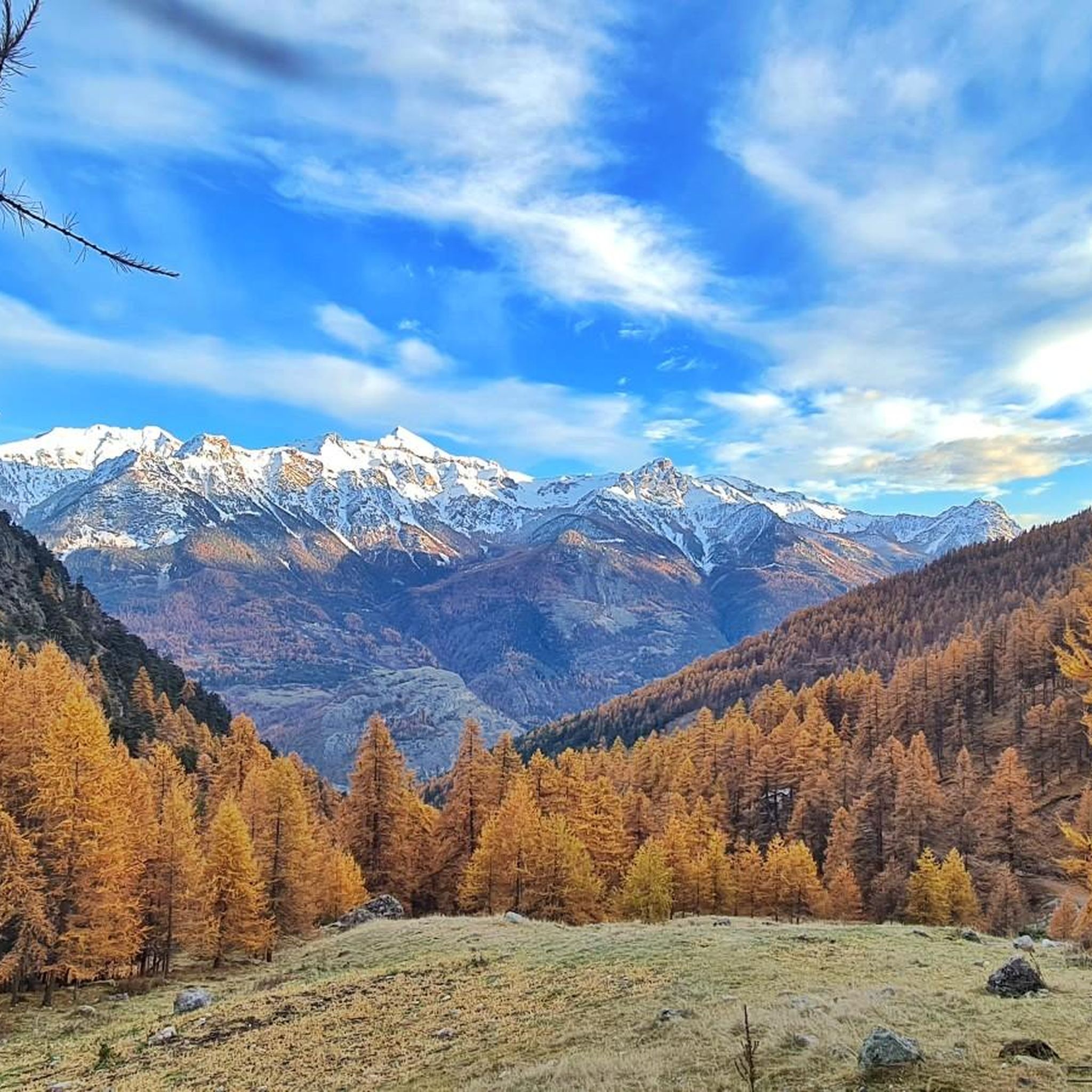
Cycling around Saint-Martin-De-Queyrières
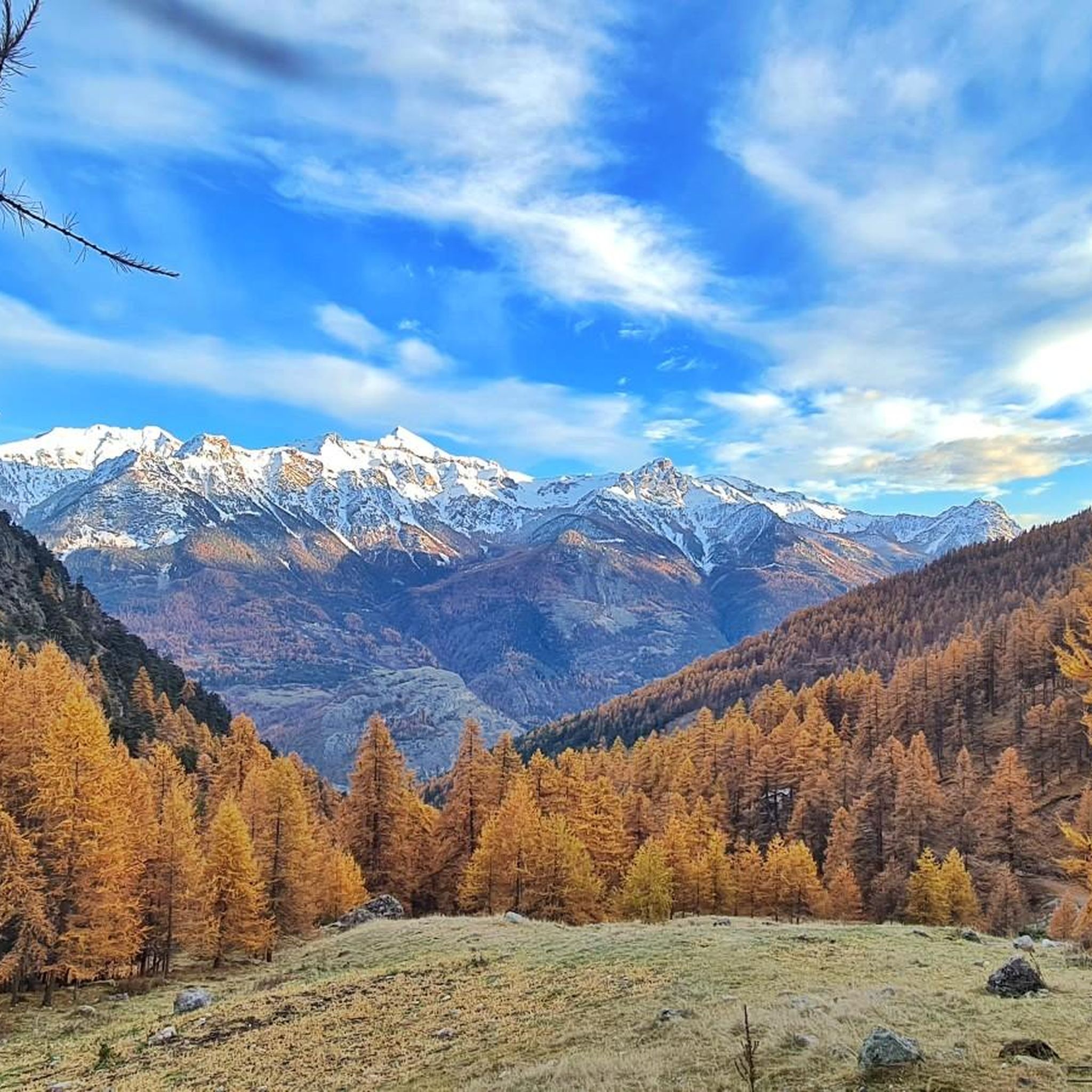
Hiking around Saint-Martin-De-Queyrières
Mountain Hikes around Saint-Martin-De-Queyrières
Running Trails around Saint-Martin-De-Queyrières
Other adventures around Saint-Martin-De-Queyrières

Tips from the Community

Villar-Saint-Pancrace, located in the French Hautes-Alpes, has deep historical roots linked to the Briançon area. It was a community of the Escartons of Briançon (charter of 1343) as Villarus Sanctus Pancratius. Historically, it was linked to agriculture and, until 1987, to coal mining by local farmers (charbourièro), particularly in the hamlet of La Tour.
11
0

Beautiful footbridge to cross the stream of the same name near Le Villaret
0
0
Beautiful view of Briançon from a path above Le Villaret
0
0

Nice chute with chicken line if you’re not in for an adrenaline shot!
0
0
Amazing singletrack in the forest! Nice berms, easy hairpins, a couple of jumps…never too difficult. A must in the area!🤩
0
0


The Fort de la Croix-de-Bretagne is a fortification near Briançon, in the Dauphiné region of southeastern France. Built between 1876 and 1879 as part of the Séré de Rivières system, it was designed to defend France from a potential Italian invasion. The construction cost 1,416,642 francs. Today, it remains one of the best-preserved forts in the Briançonnais area. The fort is perched at nearly 2,000 meters, after a climb of 700 vertical meters.
0
0

Frequently Asked Questions
How many mountain bike trails are there in Saint-Martin-De-Queyrières?
There are 13 mountain bike trails around Saint-Martin-De-Queyrières. These routes offer a diverse range of experiences, from easy forest paths to demanding technical circuits, exploring the Durance gorges, Écrins Massif views, and extensive larch forests.
Are there any easy mountain bike trails suitable for beginners in Saint-Martin-De-Queyrières?
Yes, there is one easy mountain bike trail available. The region also offers several moderate routes that might be suitable for beginners looking to challenge themselves slightly, such as the Fountain – Wildflower Meadow Trail loop from Puy-Saint-André.
What kind of terrain can I expect on mountain bike trails in Saint-Martin-De-Queyrières?
You can expect highly varied terrain, from easy forest paths and small roads to demanding technical circuits through larch forests and high-alpine hamlets. The routes often feature significant elevation changes and offer breathtaking views of the Écrins massif and the Durance valley.
Are there any circular mountain bike routes in the area?
Yes, many routes in Saint-Martin-De-Queyrières are circular. For example, the Fountain – Wildflower Meadow Trail loop from Puy-Saint-André and the Bouchier – Ratière loop from Saint-Martin-de-Queyrières are popular circular options.
What is the best time of year for mountain biking in Saint-Martin-De-Queyrières?
The best time for mountain biking is typically from spring through autumn. During summer, the larch forests provide a cool environment for riding. In winter, the area transforms into a haven for snowshoeing and ski touring, making mountain biking less feasible due to snow.
Are there any mountain bike trails that pass by waterfalls or other natural features?
Yes, you can find routes that feature natural attractions. The Pisette Waterfall – Giant Straw Ant Sculptures loop from Saint-Martin-de-Queyrières is a challenging route that includes a waterfall, offering a scenic highlight during your ride.
What do other mountain bikers say about the trails in Saint-Martin-De-Queyrières?
The mountain bike trails in Saint-Martin-De-Queyrières are highly rated by the komoot community, with an average score of 4.5 stars from over 860 reviews. Riders often praise the diverse landscapes, challenging terrain, and stunning natural features like the Durance gorges and views of the Écrins Massif.
Are there any long-distance mountain bike routes that pass through Saint-Martin-De-Queyrières?
Yes, the region is part of significant cycling networks. The Grande Traversée des Hautes-Alpes (GTHA) offers a sensational north-to-south traverse of the Pays des Écrins, and the Durance à Vélo cycle route invites riders to explore the Durance valley, providing options for longer rides.
Can I find trails suitable for e-mountain bikes (E-MTB) in Saint-Martin-De-Queyrières?
Yes, several circuits are adapted for electric mountain bikes (VTTAE), making the diverse terrain accessible to a wider range of riders. Some routes, like a circuit to Col du Prorel, are particularly recommended for e-MTB, featuring magnificent views and exciting singletrack descents.
What are some notable landmarks or attractions I can explore near the mountain bike trails?
Beyond the trails, you can explore several historical and natural landmarks. These include the impressive Pont d'Asfeld, the historic town of Briançon with its Briançon Castle, and the high mountain pass Col du Granon (2,413 m). The area also features several other castles and forts like Fort de l'Infernet.
Are there mountain bike routes that offer panoramic viewpoints?
Absolutely. Many routes provide stunning panoramic views, especially those that climb to higher elevations. The Oriol de Queyrières, perched between 2,000 and 2,055 meters, is a renowned viewpoint offering expansive views of the Durance valley, surrounding ridges, and the Écrins peaks, and can be incorporated into longer rides.
What are the most challenging mountain bike trails in Saint-Martin-De-Queyrières?
For experienced riders seeking a challenge, there are 8 difficult trails. The Red Melezin Trail is a demanding 37.8 km route with significant elevation gain, and the Ratière – Gravel in the Vallouise valley loop from Saint-Martin-de-Queyrières is a very long and challenging 67.7 km ride with over 2700 meters of ascent.
Most popular routes around Saint-Martin-De-Queyrières
Most popular attractions around Saint-Martin-De-Queyrières

Get inspired with the komoot mobile app


Explore more
Browse the best MTB trails in other regions.
