The best gravel rides around Cabezón De La Sal
4.7
(3)
49
riders
10
rides
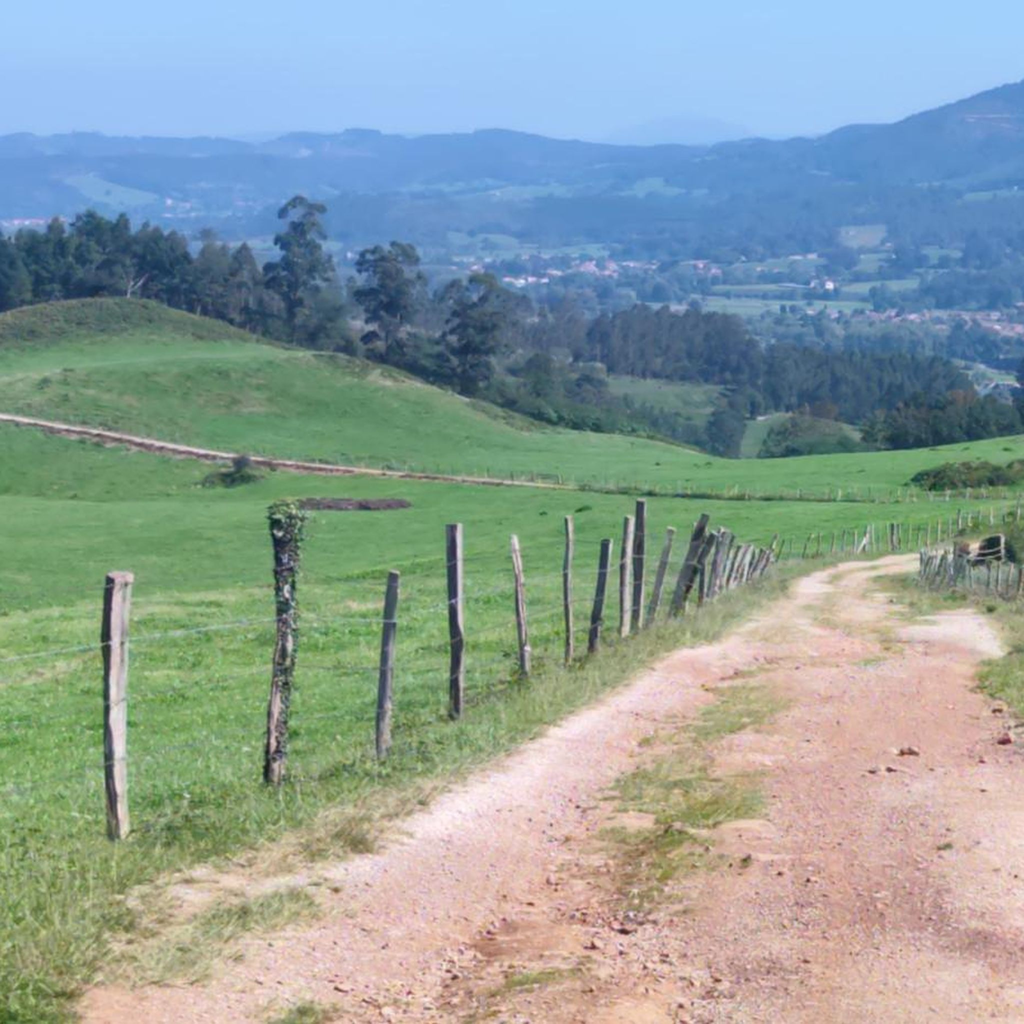
Gravel biking around Cabezón De La Sal features a diverse landscape of river valleys, mountainous terrain, and unique forests. The region is situated in an open valley where the Saja River flows, creating extensive fluvial terraces suitable for varied routes. To the south, the Sierra del Escudo de Cabuérniga provides a mountainous backdrop with challenging ascents. A notable natural feature is the Monumento Natural de las Secuoyas del Monte Cabezón, Europe's most extensive coastal redwood forest, often integrated into local…
Last updated: May 21, 2026
12
riders
85.6km
08:34
2,040m
2,040m
Hard gravel ride. Very good fitness required. Mostly paved surfaces. Suitable for all skill levels.
10
riders
Hard gravel ride. Very good fitness required. Mostly paved surfaces. Suitable for all skill levels.

Sign up for free
5.0
(1)
7
riders
25.9km
01:52
490m
490m
Hard gravel ride. Very good fitness required. Mostly paved surfaces. Suitable for all skill levels.
5
riders
72.5km
06:20
2,100m
2,100m
Hard gravel ride. Very good fitness required. Mostly paved surfaces. Suitable for all skill levels.
3
riders
Hard gravel ride. Very good fitness required. Mostly paved surfaces. Suitable for all skill levels.
Get access to more routes and recommendations from other explorers.
Sign up for free
Already have an account?
Our route recommendations are based on thousands of hikes, rides, and runs completed by other people on komoot.
Start today with a free account
Your next adventure awaits.
Login or Signup

Other adventures around Cabezón De La Sal

Tips from the Community

The Palacio de Sobrellano, also known as the Palacio del Marqués de Comillas, is one of the most important architectural jewels in Cantabria. It was built in the 19th century and stands out for its neo-Gothic style and its close connection with the Indian legacy and the Spanish aristocracy.
2
0

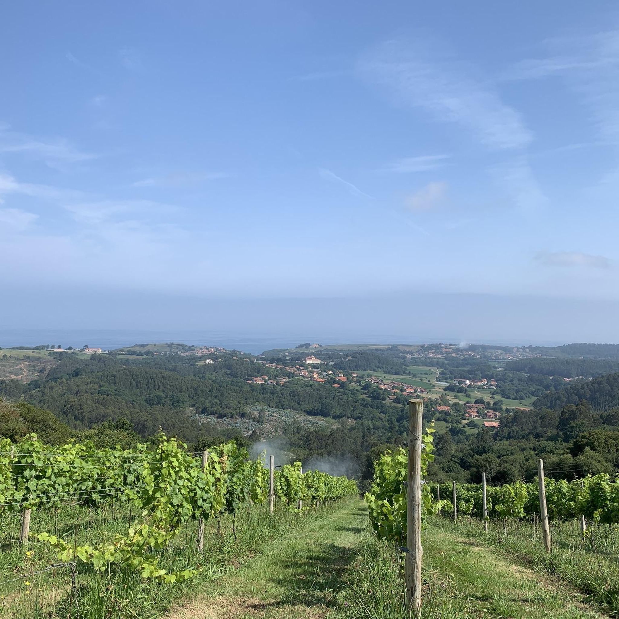
Precious stretch, with views of the coast
0
0

The Collada de Carmona is a mountain pass in the Cantabrian mountain range located in western Cantabria.[1] It rises to 601 m above sea level and links the towns of Valle to the east and Carmona to the west, both belonging to the municipality of Cabuérniga.
0
0
The Monte Aa Pass is a very beautiful climb with spectacular landscapes. The pass is located on the mountain that separates Carmona from Ruente. Along the route we will find different trees catalogued within the Inventory of Singular Trees of Cantabria. These are spectacular specimens of oak and beech. The Monte Aa forest is made up of a mature oak forest dominated by oaks. To a lesser extent, there are beeches, sessile oaks and oaks. The abundance of holly trees is remarkable. As for the fauna that inhabits it, birds such as the goshawk, the sparrowhawk, the black kite, the common buzzard, the common kestrel, the woodpecker and other forest birds stand out. Mammals such as the roe deer, the deer or the badger and carnivores such as the marten or the polecat.
2
0
The climb to Negreo along the southern slopes of Renedo and Moscadoriu, due to its length, is not one of the longest, it is only 6 kilometres but in two sections, each one stickier than the other, the first 3 kilometres with very hard concrete ramps with a gradient of up to 18-20% that make the bike rise more than expected and the last three kilometres with a lesser gradient but on more technical and broken terrain.
0
0

Surrounded by rocks, it is a very wild and beautiful place. They say that when the water is calm you can take a nice swim, but in my case, I couldn't enjoy it, although I did enjoy its beauty.
0
0

Particularly beautiful view of the bays and sandy beaches.
0
0

Unfortunately only accessible as a group tour
1
0
Frequently Asked Questions
What kind of terrain can I expect on gravel bike trails around Cabezón De La Sal?
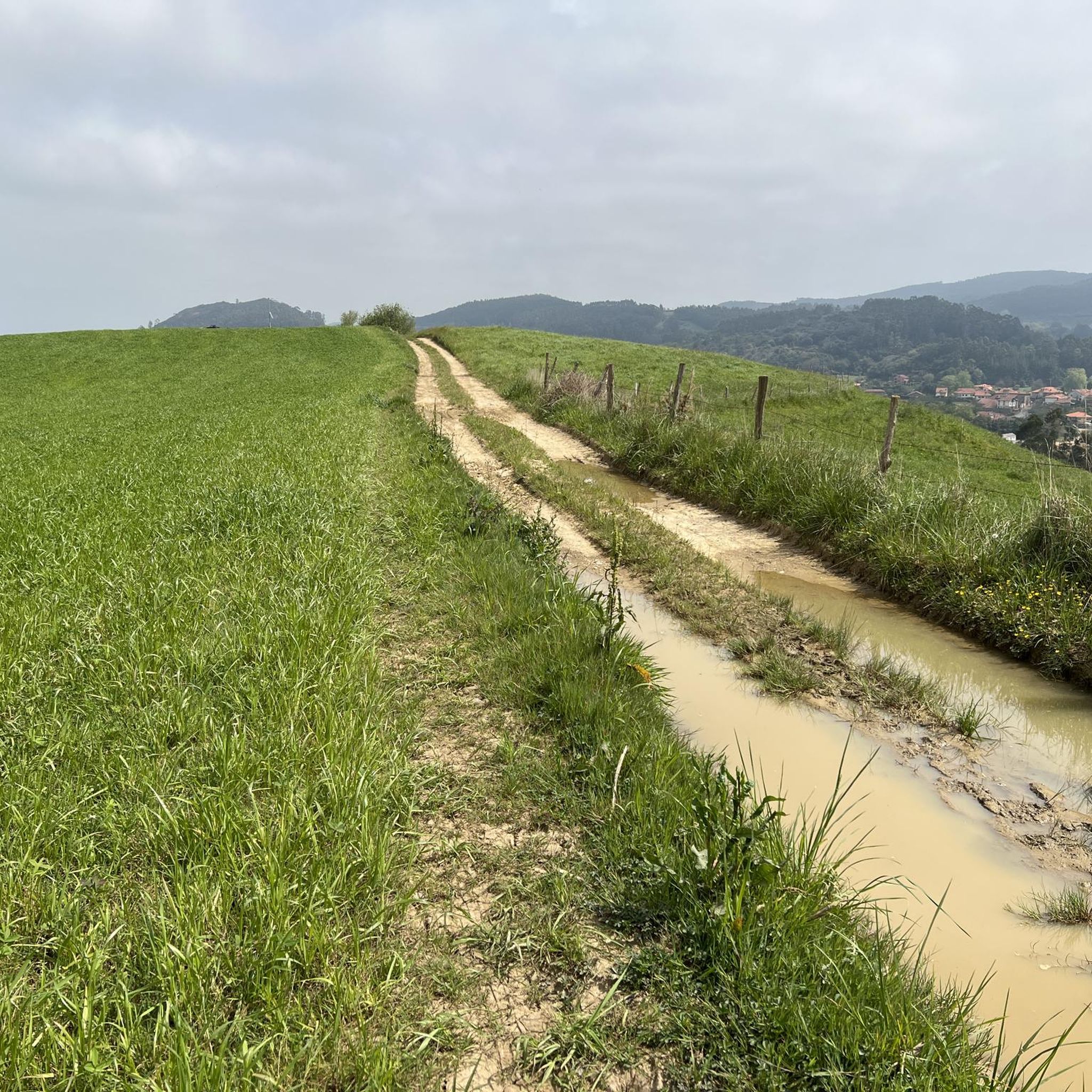
The region offers a diverse mix of terrain, from open and flat valley paths along the Saja River to demanding mountainous ascents in the Sierra del Escudo de Cabuérniga. You'll encounter varied surfaces, including paved sections, tracks, and unpaved segments, making it ideal for gravel biking.
Are there any easy or beginner-friendly gravel bike trails in the area?
The gravel bike trails around Cabezón De La Sal are generally considered challenging, with all 12 routes listed in our guide rated as difficult. They often feature significant elevation gains and varied terrain, making them more suitable for experienced riders. For example, the Onzapera Cove – Santillana del Mar loop from Santillana del Mar is one of the shorter difficult routes at 25.9 km with 493m of ascent.
What are the most challenging gravel bike routes near Cabezón De La Sal?
Many routes in the area are quite challenging. One of the most demanding is the Gravel loop in Saja-Besaya natural park, which spans 85.6 km and includes over 2,000 meters of elevation gain. This route explores the varied and rugged terrain within the natural park.
Are there any circular gravel bike routes available?
Yes, many of the gravel bike routes around Cabezón De La Sal are circular. For instance, the View of Comillas – View of the Cantabrian Sea loop from Venta de Tramalón is a popular circular option, offering coastal views over 42.6 km with 905m of ascent.
What natural landmarks can I see while gravel biking in this region?
A prominent natural landmark is the Monumento Natural de las Secuoyas del Monte Cabezón, Europe's most extensive coastal redwood forest. Many cycling routes incorporate this unique area. You might also encounter other natural features like El Bolao Cliff or the La Rabia Estuary, depending on your chosen route.
Are there any historical or cultural attractions along the gravel bike trails?
Yes, some routes may take you near historically significant areas. For example, you could pass by the Santillana del Mar Historic Town Centre or the Historic center of Comillas. The region also has a history linked to salt extraction since Roman times, and you might find traditional architecture in local towns.
What do other gravel bikers say about the trails in Cabezón De La Sal?
The gravel biking routes in Cabezón De La Sal are highly rated by the komoot community, with an average score of 4.8 stars. Riders often praise the diverse landscapes, from river valleys to challenging mountain terrain, and the unique experience of cycling through the redwood forest.
Is there parking available for gravel bikers in Cabezón De La Sal?
Cabezón De La Sal is a well-established town, and you'll find various parking options within the municipality. Many routes start from or pass through towns, making it convenient to find a place to park your vehicle before heading out on your ride.
Can I reach Cabezón De La Sal by public transport for cycling trips?
Cabezón De La Sal is accessible by public transport, primarily bus services connecting it to larger towns and cities in Cantabria. It's advisable to check local bus schedules and policies regarding bicycle transport in advance, as space for bikes can be limited.
What is the best season for gravel biking in Cabezón De La Sal?
The region generally offers pleasant conditions for gravel biking during spring, summer, and early autumn. These seasons typically provide milder weather and less rainfall, making the trails more enjoyable. Always check the local weather forecast before your ride, especially when heading into higher elevations.
Are there any routes that offer views of the Cantabrian Sea?
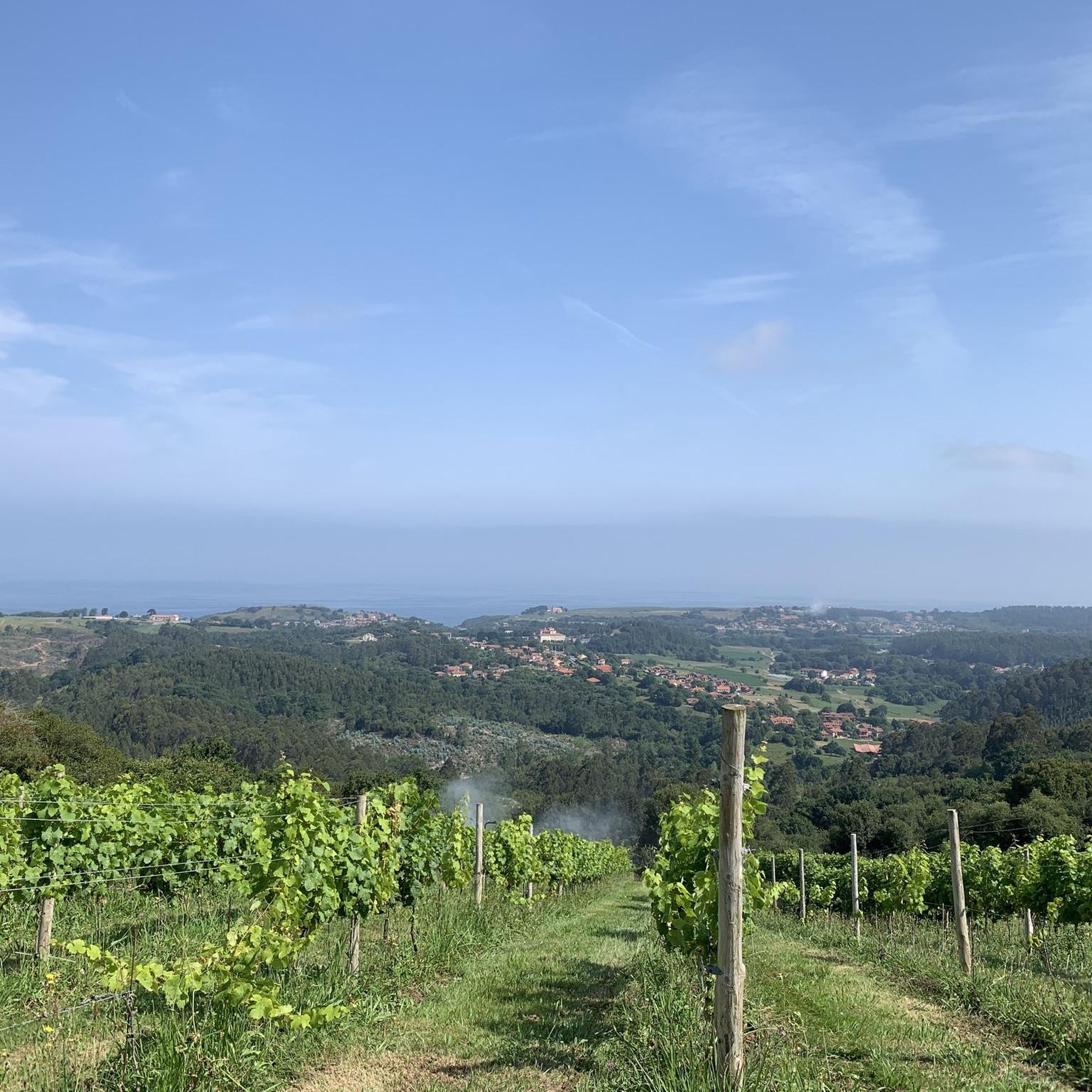
Yes, some routes provide stunning coastal vistas. The View of the Cantabrian Sea – View of Comillas loop from Cóbreces is an excellent option for riders looking to combine gravel biking with scenic views of the sea and the coastline.
How many gravel bike trails are there in Cabezón De La Sal?
Our guide features 12 gravel bike trails around Cabezón De La Sal. These routes offer a range of distances and elevation gains, all categorized as difficult, providing ample opportunities for challenging rides.
Most popular routes around Cabezón De La Sal
Most popular attractions around Cabezón De La Sal

Get inspired with the komoot mobile app


Explore more
Browse the best Gravel rides in other regions.
