The best gravel rides around Chitterne
4.8
(9)
122
riders
16
rides
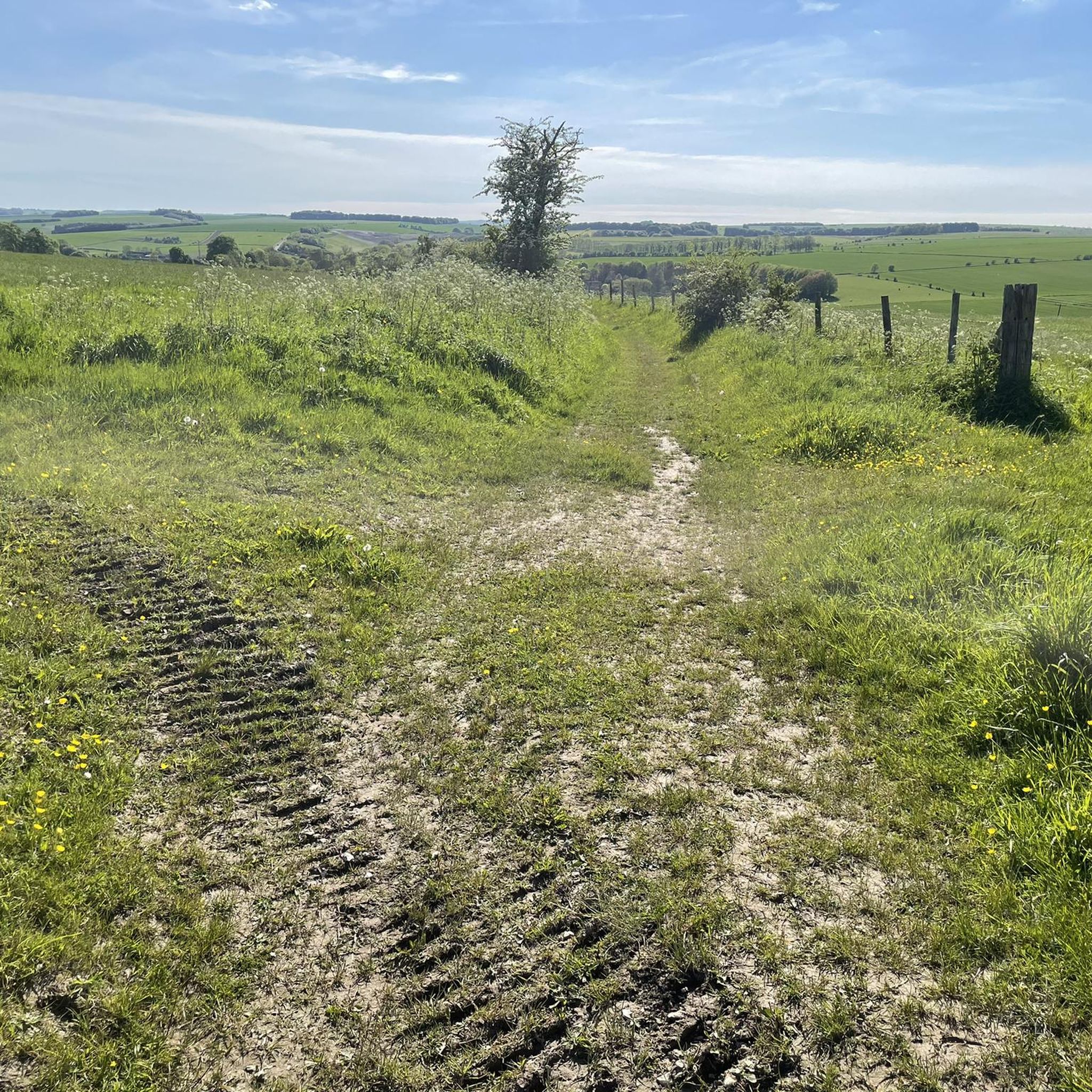
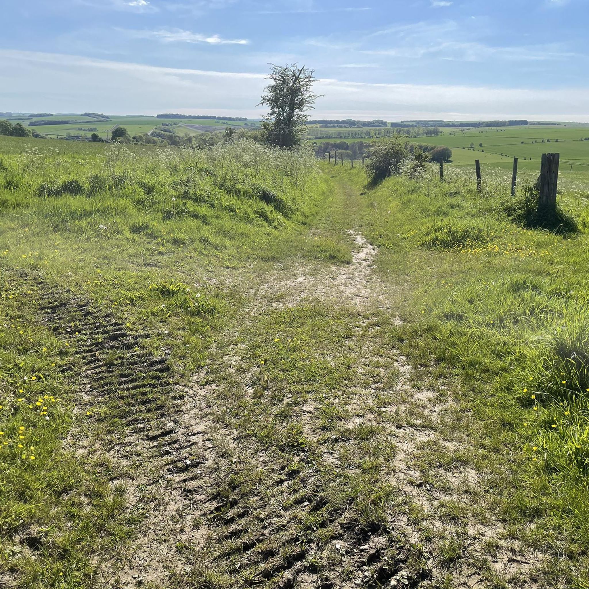
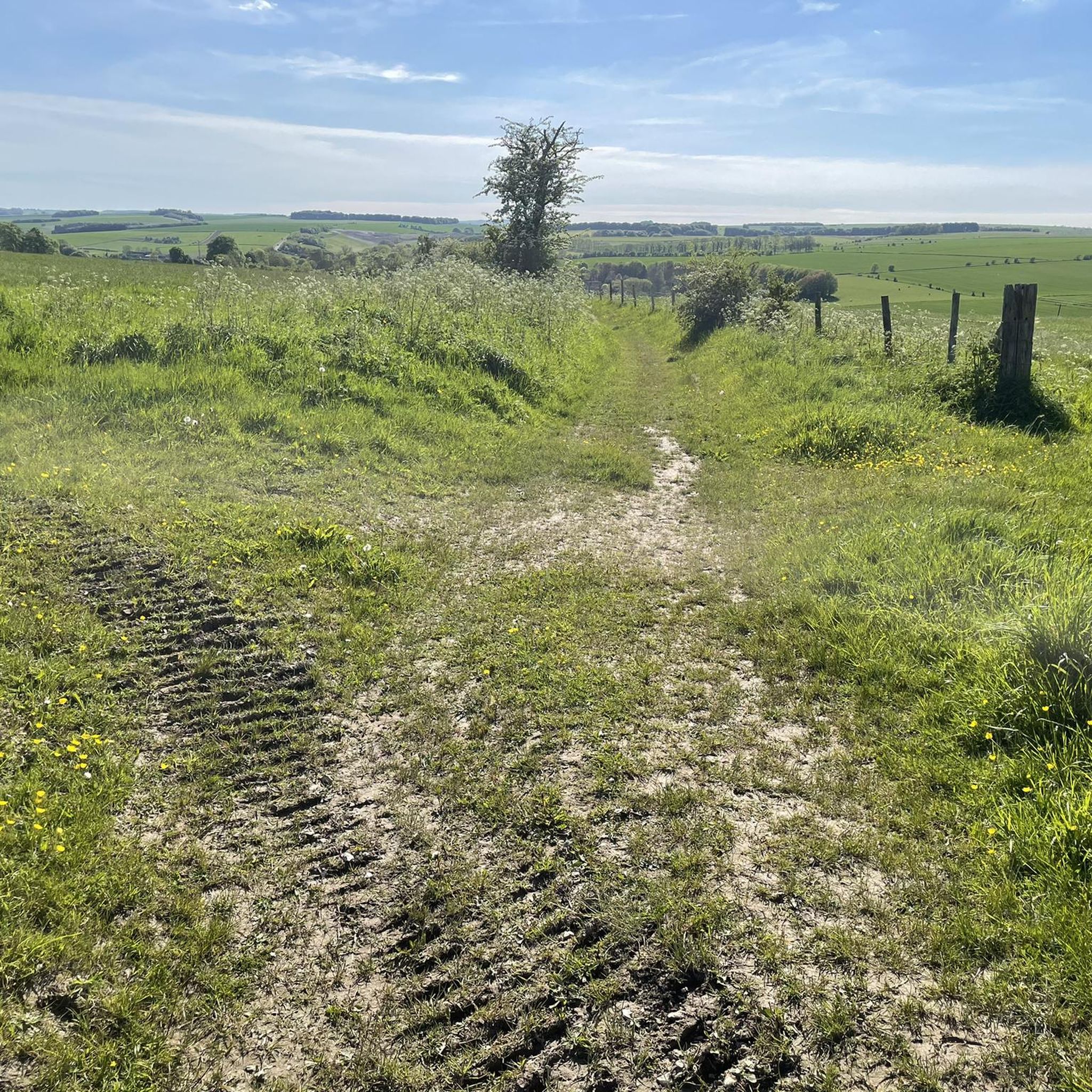
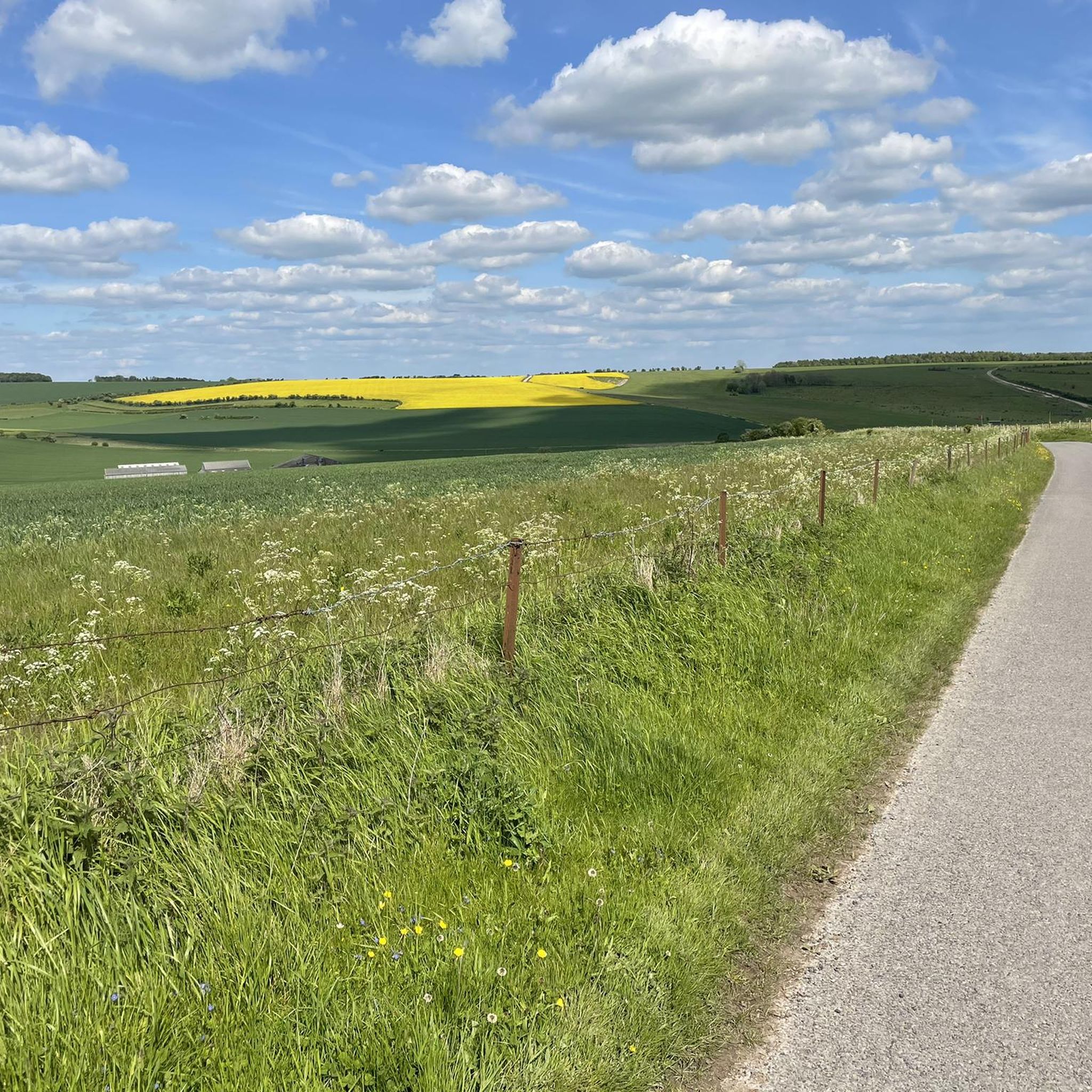
Gravel bike trails around Chitterne are situated within the expansive Salisbury Plain, characterized by open countryside and a network of tracks. The terrain primarily consists of rolling chalk downs and undeveloped land, offering varied surfaces for gravel biking. Public rights of way, including paths and village tracks, form a suitable network for off-road cycling. The Chitterne Brook, a tributary of the River Wylye, adds a natural water feature to the landscape.
Best gravel bike trails around Chitterne
- The most popular…
Last updated: May 22, 2026
5.0
(4)
60
riders
62.3km
04:23
730m
730m
Hard gravel ride. Very good fitness required. Mostly paved surfaces. Suitable for all skill levels.
5.0
(1)
8
riders
39.1km
02:54
440m
440m
Moderate gravel ride. Good fitness required. Mostly paved surfaces. Suitable for all skill levels.

Sign up for free
4.5
(2)
12
riders
Hard gravel ride. Very good fitness required. Mostly paved surfaces. Suitable for all skill levels.
7
riders
Hard gravel ride. Very good fitness required. Mostly paved surfaces. Suitable for all skill levels.
6
riders
41.2km
02:59
550m
550m
Hard gravel ride. Very good fitness required. Mostly paved surfaces. Suitable for all skill levels.
Get access to more routes and recommendations from other explorers.
Sign up for free
Already have an account?
Our route recommendations are based on thousands of hikes, rides, and runs completed by other people on komoot.
Start today with a free account
Your next adventure awaits.
Login or Signup
Tips from the Community

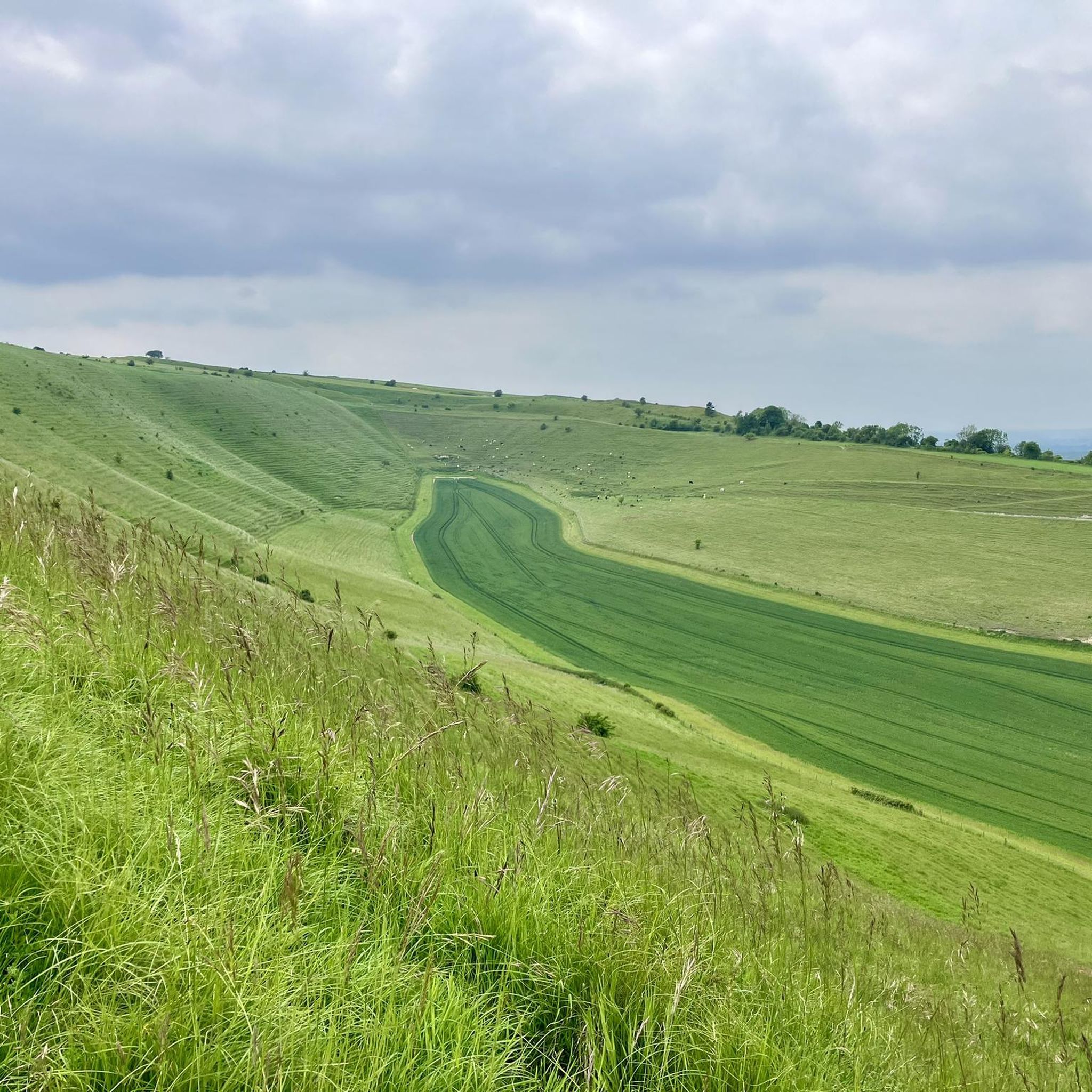
A great view point, even on a murky day. As well as the White Horse, there is Bratton Camp, an old hill fort and the art installation behind.
0
0

Lovely ride - mostly quiet roads and tracks... Bath Arms good place to stop for a coffee. Good lunch in the White Hart after the ride.
0
0

Good climb, was across fields but fine today as they’ve been harvested. Might have been tricky earlier in the year
0
0
Smooth surface climb at a steady gradient, very nice.
0
0


Yeah unless you're a sicker for punishment this is proper gravel and should be ridden on 40mm+ tyres for best enjoyment. Some pretty steep inclines, it's not a flat ridgeway.
0
0
Shear Water is an artificial lake created as part of the Longleat Estate. It's filled by a tributary of the River Wylye. It's a popular fishing destination.
0
0
Frequently Asked Questions
What kind of terrain can I expect on gravel bike trails around Chitterne?
The gravel bike trails around Chitterne are primarily situated within the expansive Salisbury Plain. You can expect a mix of open countryside, rolling chalk downs, and undeveloped land. The routes utilize a network of tracks and public rights of way, offering varied unpaved surfaces ideal for gravel biking. The Chitterne Brook also adds a natural water feature to the landscape.
Are there any family-friendly gravel biking options near Chitterne?
While the guide features mostly moderate to difficult routes, the general landscape of Chitterne with its network of public rights of way and village tracks offers potential for creating shorter, less challenging rides suitable for families. Look for routes that stick to wider, well-maintained tracks away from steeper inclines. Always check the route details on komoot for elevation and surface information to ensure it matches your family's skill level.
What are the public access rules for cycling on Salisbury Plain, especially concerning MOD land?
A significant portion of the land around Chitterne is managed by the Ministry of Defence (MOD) as part of the Salisbury Plain Training Area. This land is generally accessible when no training is happening. However, specific areas like the Imber Live Firing Area and Copehill Down Training Village must be avoided for safety. Always consult local signage and public rights of way maps to ensure you are riding in permissible areas and check for any live firing notices before you set out.
Are there any circular gravel bike routes available from Chitterne?
Yes, many of the gravel routes in the Chitterne area are designed as loops. For example, the Wylye Valley Quiet Road – Honeypot Lane Trailhead loop from Codford and the Great Ridge Gravel Trail – Woodland Singletrack Path loop from Heytesbury are both excellent circular options that allow you to start and finish in the same location.
What attractions or points of interest can I see while gravel biking near Chitterne?
The Chitterne area offers access to several notable attractions. You can explore ancient sites like Stonehenge, located about 8.2 miles away, or the impressive Westbury White Horse and Bratton Camp. Other points of interest include various natural monuments and viewpoints such as Middle Hill and Cotley Hill, offering extensive views across the plain.
What is the general difficulty level of gravel bike trails around Chitterne?
The gravel biking routes around Chitterne cater to a range of experience levels, though the majority are rated as moderate to difficult. Out of 19 available routes, 12 are moderate and 7 are difficult. This means you'll find options for experienced riders seeking a challenge, but also some more accessible routes for those with a good level of fitness.
Are there any cafes or pubs along the gravel bike routes near Chitterne?
The village of Chitterne itself is small and quiet, without a shop or a working pub, so it's essential to plan accordingly for supplies. However, some routes may pass through or near other villages where you might find amenities. It's always a good idea to check your komoot route details for points of interest like cafes or pubs in nearby towns before you start your ride.
What do other gravel bikers enjoy most about the Chitterne area?
The Chitterne area is highly rated by the komoot community, with an average score of 4.75 stars from over 9 reviews. Riders often praise the extensive views across Salisbury Plain, the quiet and open landscape, and the varied network of tracks that define the gravel biking experience here. The mix of open chalk downs and woodland sections also contributes to its appeal.
What is the longest gravel bike route available in the Chitterne area?
One of the longest gravel bike routes in the area is the Imber Range Path – View from Westbury White Horse loop from West Lavington. This challenging trail covers approximately 71 kilometers (44.1 miles) and typically takes around 4 hours and 11 minutes to complete, leading you through extensive sections of Salisbury Plain.
Is Chitterne well-suited for beginner gravel cyclists?
While Chitterne offers a good network of tracks, many of the routes are rated moderate to difficult due to their length and elevation changes. There are no routes specifically classified as 'easy' in the guide. Beginners should look for shorter, flatter sections of public rights of way or consider routes with lower elevation gain. Always review the route's difficulty and profile on komoot before attempting it.
What is the best season for gravel biking around Chitterne?
The open countryside and chalk downs around Chitterne are enjoyable in most seasons. Spring and autumn offer pleasant temperatures and beautiful scenery. Summer can be great, but ensure you carry enough water as there are limited amenities. Winter riding is possible, but conditions on unpaved tracks can become muddy or slippery, especially after rain, so appropriate gear and caution are advised.
Are there options for parking near the gravel bike trails in Chitterne?
As Chitterne is a small village, specific dedicated parking for trailheads might be limited. However, many routes start from nearby towns or villages like Codford, Heytesbury, or West Lavington, which may offer more parking options. Always check the starting point of your chosen komoot route for information on available parking, or plan to park responsibly in a suitable public area.
Can I bring my dog on the gravel bike trails around Chitterne?
Many public rights of way in the Chitterne area are dog-friendly, allowing you to enjoy the trails with your canine companion. However, it's crucial to keep your dog under close control, especially when passing through livestock fields or MOD land. Always adhere to local signage regarding dogs and be mindful of other trail users and wildlife. Remember to carry water for your dog and clean up after them.
Most popular attractions around Chitterne

Get inspired with the komoot mobile app


Explore more
Browse the best Gravel rides in other regions.
