The best running trails around Chitterne
3.9
(9)
1,382
runners
129
runs
Jogging around Chitterne offers access to the expansive open landscapes of Salisbury Plain, characterized by a diverse network of trails and public rights of way. The region provides varied terrain, from natural paths to village tracks, suitable for different running preferences. The Chitterne Brook flows through the village, adding to the natural features of the area. Runners can experience a peaceful environment with historical backdrops, including views towards ancient sites.
Best jogging routes around Chitterne
- The most popular jogging route…
Last updated: May 14, 2026
19
runners
5.09km
00:35
70m
70m
Moderate run. Good fitness required. Mostly paved surfaces. Suitable for all skill levels.
15
runners
40.9km
04:42
440m
440m
Hard run. Very good fitness required. Mostly paved surfaces. Suitable for all skill levels.

Sign up for free
8
runners
11.4km
01:17
110m
110m
Moderate run. Good fitness required. Mostly paved surfaces. Suitable for all skill levels.
6
runners
6.63km
00:41
50m
50m
Moderate run. Good fitness required. Mostly paved surfaces. Suitable for all skill levels.
5
runners
12.4km
01:22
210m
210m
Moderate run. Good fitness required. Mostly paved surfaces. Suitable for all skill levels.
Get access to more routes and recommendations from other explorers.
Sign up for free
Already have an account?
Our route recommendations are based on thousands of hikes, rides, and runs completed by other people on komoot.
Start today with a free account
Your next adventure awaits.
Login or Signup

Tips from the Community

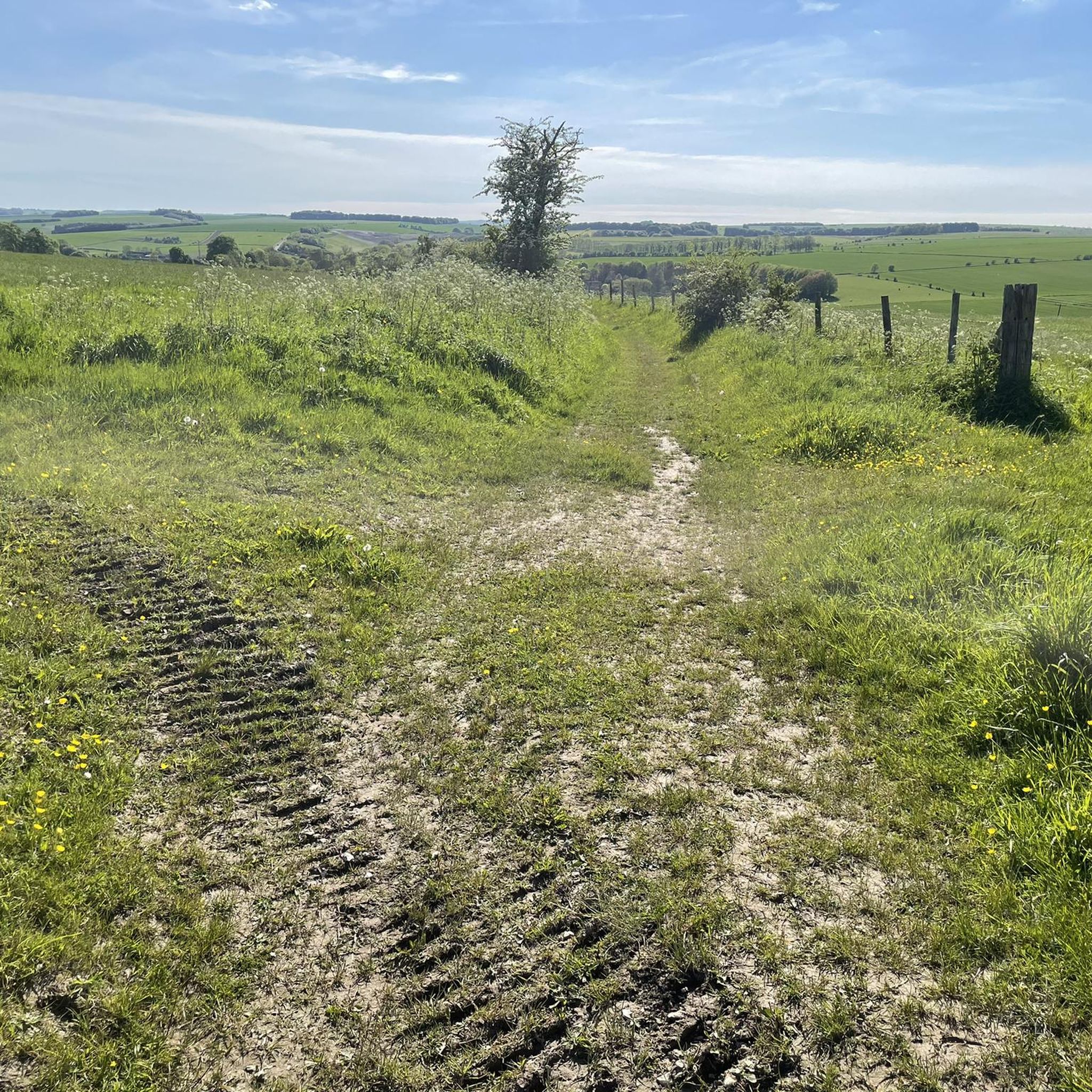
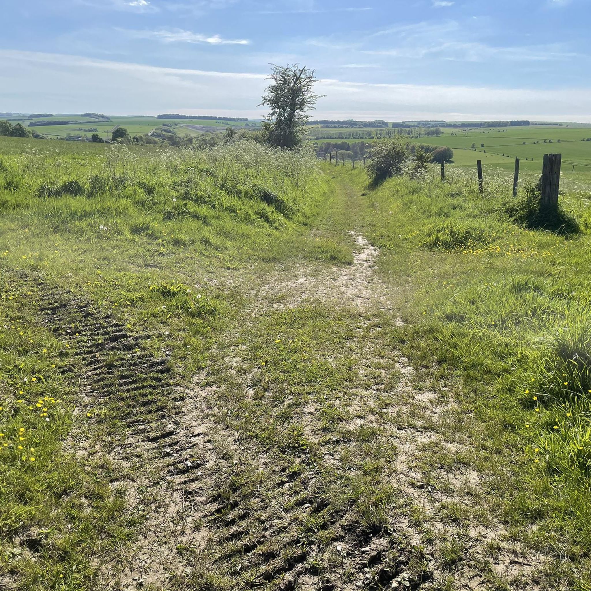
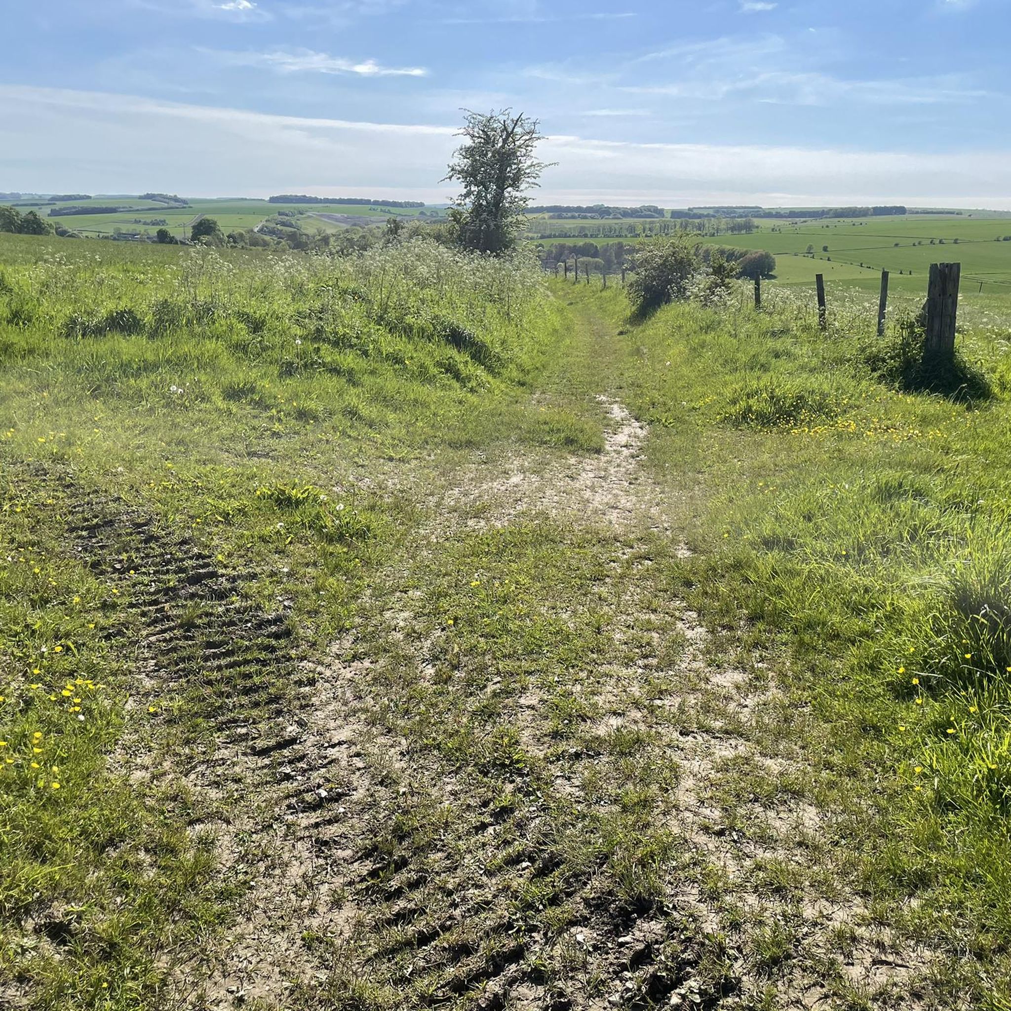
This is can be a slight detour off the Imber range perimeter path . Requires a descent, and a subsequent ascent back to the perimeter path. Kahoot recommends, but we did not appreciate, if you’re short of puff, stay on the upper path.
0
0


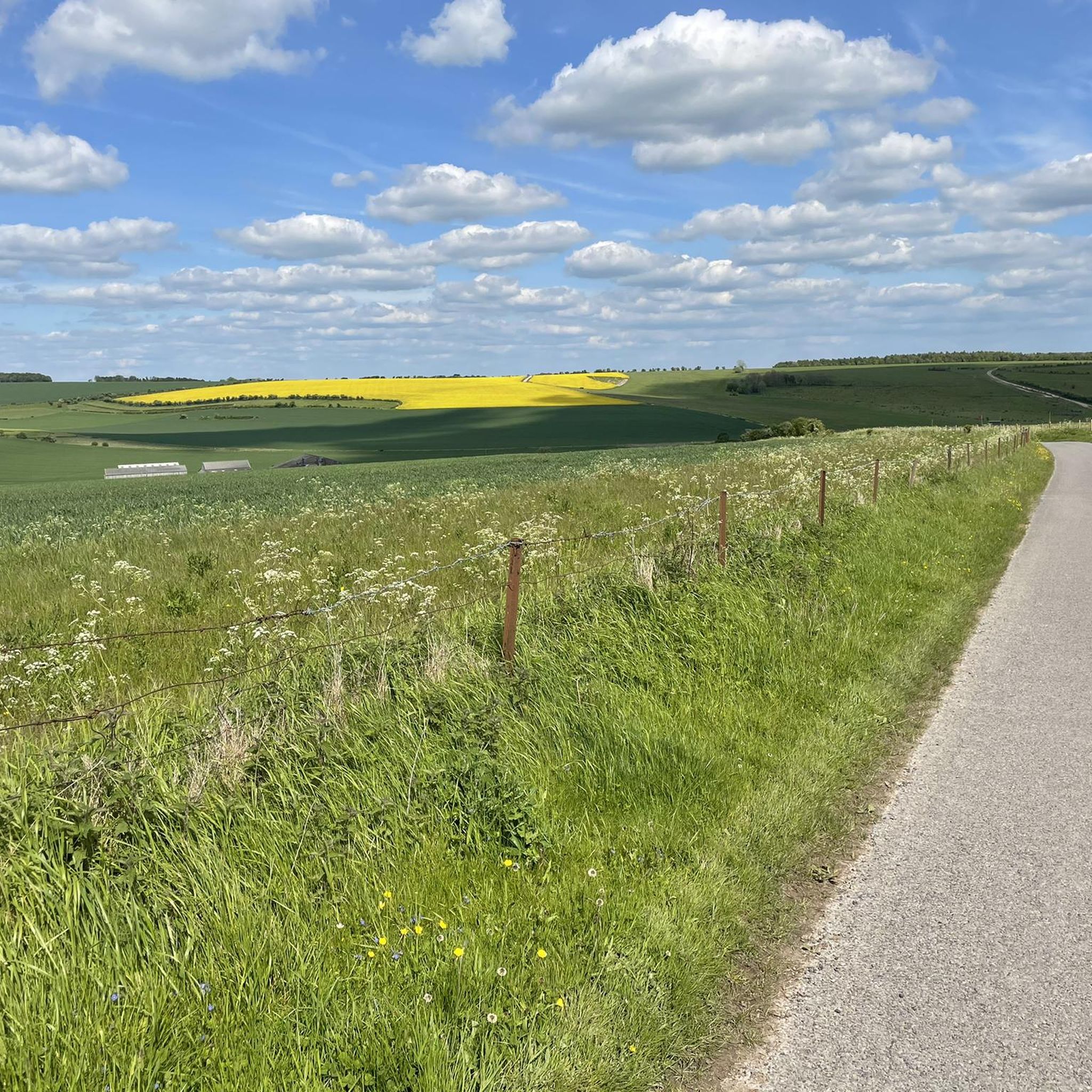
Awesome, wide open part of the Plains, stunning views and plenty of military areas to see.
0
0

take a turn off the B3414 to visit the Iron Age hillfort of Scratchbury, 1km or so off the main road and immerse yourself in a scene of unparalleled peace and tranquility
0
0

Knook Horse Hill stands at 178 m to the south-east of the Imber Range. It's a good climb up from the River Wylye and makes a nice loop from Heytesbury.
0
0
Knook Horse Hill stands at 178 m to the south-east of the Imber Range. It's a good climb up from the River Wylye and makes a nice looping walk from Heytesbury.
0
0
Battlesbury Hill has a trig point at 208 m. It's ringed by the earthworks of the old Iron Age hill fort which once crowned this hill. Today it's one of the hills at the western end of the Salisbury Plain and the Imber Range.
0
0

White Barrow is a Neolithic long barrow, its name deriving from the chalk plain upon which it is built. First described by archaeologist William Cunnington, it is one of a number of long barrows in the area and is today looked after by the National Trust. The calcerous chalk grassland here is home to many wildflowers, butterflies and other insects, incuding rare bees only found in a few sites in Britain.
0
0
Frequently Asked Questions
What kind of running trails can I expect around Chitterne?
Chitterne, located on Salisbury Plain, offers a diverse network of trails and public rights of way. You'll find varied terrain, from natural paths to village tracks, suitable for different running preferences and fitness levels. The landscape is known for its tranquility and expansive open spaces.
Are there many running routes available in the Chitterne area?
Yes, there are over 130 running routes around Chitterne listed on komoot. These range from shorter, easier loops to more challenging long-distance runs, catering to a wide array of abilities.
Are there any easy or beginner-friendly jogging routes near Chitterne?
Absolutely. For those looking for an easier run, there are at least 10 routes classified as easy. A good option is the White Barrow loop from Tilshead, which is a moderate 3.2-mile (5.1 km) trail offering views of the open countryside.
Can I find circular running routes around Chitterne?
Many of the routes around Chitterne are circular, allowing you to start and finish in the same location. For example, the Thatched Roof Shelter – Codford Tea Rooms loop from Codford is a 4.1-mile (6.6 km) circular trail through varied terrain.
What are some notable landmarks or viewpoints I might see while running near Chitterne?
The region is rich in history and natural beauty. You might encounter ancient features like the Cursus Barrows, or enjoy views towards the iconic Stonehenge. Other highlights include Cotley Hill and Knook Horse Hill, which offer excellent viewpoints.
Are there any long-distance or challenging running trails in the area?
Yes, for experienced runners seeking a challenge, routes like the Knook Horse Hill – White Barrow loop from Tilshead offer a difficult 25.9-mile (41.8 km) path traversing extensive open landscapes.
What do other runners say about the trails around Chitterne?
The running routes in Chitterne are highly rated by the komoot community, with an average score of 4.1 stars from 10 reviews. Over 1400 runners have used komoot to explore the varied terrain, often praising the peaceful environment and expansive views.
Is it possible to find parking near the running routes in Chitterne?
While specific parking details vary by route, Chitterne is a small village surrounded by open countryside. Many routes start from or pass through villages like Tilshead or Codford, where local parking options may be available. It's advisable to check the route details on komoot for specific starting points and parking information.
Are there any considerations regarding military training areas on Salisbury Plain?
Yes, a significant portion of Salisbury Plain north of Chitterne is part of the Ministry of Defence (MOD) training area. While much of this land is generally accessible when no training is underway, specific areas like the Imber Live Firing Area are restricted. Always check local MOD noticeboards for current accessibility and restrictions to ensure your safety.
Are there any family-friendly running options around Chitterne?
The area offers several shorter, less strenuous routes that can be suitable for families. The extensive network of public rights of way provides opportunities for varied distances, allowing you to choose paths that match your family's fitness level. Look for routes with minimal elevation gain and well-maintained surfaces.
Can I bring my dog on the running trails in Chitterne?
Many of the public rights of way and trails around Chitterne are dog-friendly. However, as much of the area is agricultural land or part of the Salisbury Plain, it's crucial to keep dogs under close control, especially near livestock or in MOD training areas. Always follow local signage and etiquette.
What is the best time of year to go running in Chitterne?
Chitterne offers good running conditions throughout much of the year. Spring and autumn provide pleasant temperatures and beautiful scenery. Summer can be warm, so early morning or late evening runs are often preferred. Winter runs are possible, but be prepared for potentially muddy trails and colder conditions, especially on the open plain.
Most popular attractions around Chitterne

Get inspired with the komoot mobile app


Explore more
Browse the best Running Trails & Routes in other regions.
