East Hoathly With Halland
East Hoathly With Halland
The best gravel rides around East Hoathly With Halland
4.8
(5)
27
riders
5
rides
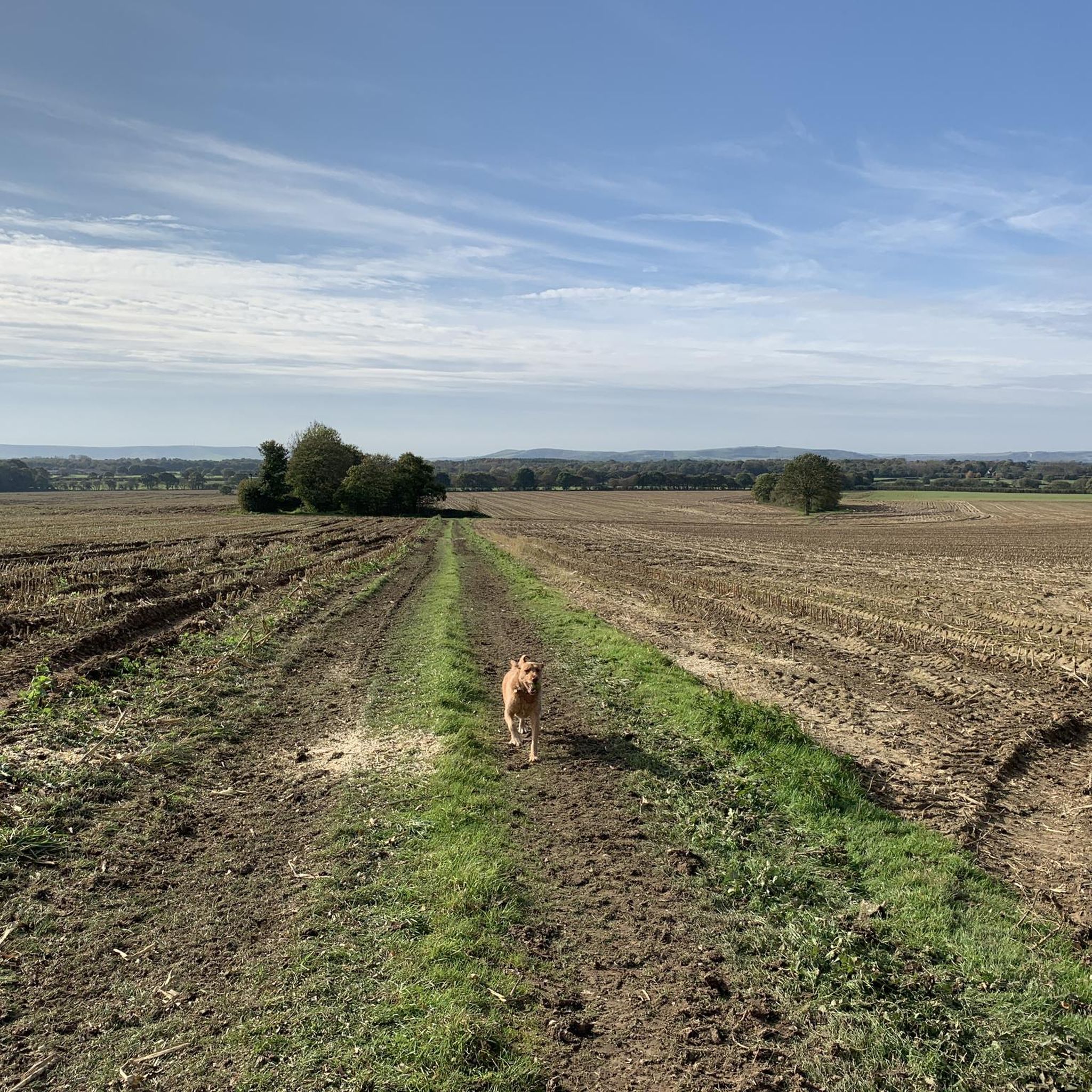
Gravel biking around East Hoathly With Halland offers routes through the rolling hills and chalk landscapes characteristic of the South Downs. The region features a mix of open downland, ancient woodlands, and rural paths connecting picturesque villages. Elevations typically include moderate climbs to viewpoints and descents through valleys.
Best gravel bike trails around East Hoathly With Halland
- The most popular gravel bike trail is Cuckoo Bottom Track – Blackcap Summit and Trig Point loop from Glynde, a 21.8 miles…
Last updated: October 6, 2026
5.0
(1)
13
riders
35.1km
02:53
630m
630m
Hard gravel ride. Very good fitness required. Mostly paved surfaces. Suitable for all skill levels.
5
riders
Moderate gravel ride. Good fitness required. Mostly paved surfaces. Suitable for all skill levels.

4.0
(1)
2
riders
27.2km
02:02
340m
340m
Moderate gravel ride. Good fitness required. Mostly paved surfaces. Suitable for all skill levels.
1
riders
12.0km
00:54
220m
220m
Moderate gravel ride. Good fitness required. Mostly paved surfaces. Suitable for all skill levels.
5.0
(1)
2
riders
Hard gravel ride. Very good fitness required. Mostly paved surfaces. Suitable for all skill levels.
Our route recommendations are based on thousands of hikes, rides, and runs completed by other people on komoot.
Start today with a free account
Your next adventure awaits.
Tips from the Community


Beautiful little village with a couple of great shops for refuelling
2
0

Tackling Butts Lane from Eastbourne's Old Town confronts you with a short but savage local 'wall' climb. Prepare for an immediate, intense effort as the narrow lane kicks up brutally, averaging around 12-13% with relentless ramps peaking near 19-20%. With little shelter from the wind, be prepared for gusts, especially near the top. Cresting the summit rewards you with stunning coastal views.
0
0

Decent shop with hot food over the counter, plus some tea rooms.
0
0
Can get wet, with large lakes of water on the road. Lovely route under the South Downs Way.
0
0

The track here provides one of the best views from the South Downs Way. Take time to stop here and enjoy the well-earned view.
1
0

This is a wonderful stretch of track running just below Mount Harry, and it continues below Black Cap too before it joins the South Down Way at the Beeches. A great biking section overall.
1
0

About the patronage of this church: Saint ANDREW is one of the twelve apostles that Jesus Christ called to follow him. However, in the biblical accounts he is usually somewhat overshadowed by his much more famous brother: Saint Peter. In the Gospels we find the calling of the two siblings presented in different ways. According to the text of the Gospel of John (John 1:40-42), Andrew is called first (together with another disciple whose name is not mentioned). Later he tells his brother that he has found the Messiah. The feast of Saint Andrew in the calendar of saints is on November 30th in all major Christian denominations. The X-shaped white "St. Andrew's Cross" on which he was executed forms the national flag of Scotland against a blue background and has also found its way into the national flag of the United Kingdom of Great Britain.
2
0
Frequently Asked Questions
How many gravel bike trails are available around East Hoathly With Halland?
The East Hoathly With Halland area offers a diverse network of over 10 gravel bike routes. These trails vary in difficulty, ranging from easier loops to more challenging rides with significant elevation gain, catering to different experience levels.
Are there easy gravel bike trails suitable for beginners around East Hoathly With Halland?
Yes, there are routes suitable for beginners. For example, the Alfriston Village – St Andrew's Church, Alfriston loop from Selmeston is a moderate 7.4-mile (12 km) trail that takes about 54 minutes, offering a pleasant ride through village settings and surrounding countryside without excessive challenge.
What is the typical length and duration of gravel bike routes in this area?
Gravel bike routes around East Hoathly With Halland vary significantly. You'll find shorter, moderate trails like the Alfriston Village loop at 7.4 miles (12 km) taking under an hour, up to longer, more difficult routes such as the Cuckoo Bottom Track – Blackcap Summit loop, which is 21.8 miles (35.1 km) and can take over 3 hours to complete.
Where can I find parking for gravel biking routes in East Hoathly With Halland?
Many routes start from or pass through villages like Glynde, Berwick, Selmeston, and Cooksbridge. Parking is generally available in these village centers or at designated trailheads. It's advisable to check local parking regulations before your ride.
What kind of terrain can I expect on gravel bike trails in this region?
The gravel bike trails around East Hoathly With Halland are characterized by the rolling hills and chalk landscapes of the South Downs. You'll encounter a mix of open downland, ancient woodlands, and rural paths connecting picturesque villages. Elevations typically include moderate climbs to viewpoints and descents through valleys.
Are there any scenic viewpoints or landmarks along the gravel routes?
Absolutely. Many routes offer expansive views across the South Downs. For instance, the View of Litlington White Horse loop from Berwick traverses sections of the South Downs Way, providing stunning vistas. You might also encounter landmarks like the Firle Beacon summit on some of the more challenging routes.
What do other gravel bikers enjoy most about gravel biking in East Hoathly With Halland?
The area is highly rated by the komoot community, with an average score of 4.6 stars from over 7 reviews. Reviewers often praise the varied terrain, from open downland to ancient woodlands, and the sense of exploration offered by the rural paths connecting charming villages.
Are there any circular gravel bike routes available?
Yes, many of the gravel bike routes in the area are designed as loops. For example, the View from Plumpton Bostal – Blackcap Bridleway loop from Cooksbridge is a moderate 16.9-mile (27.2 km) circular route, perfect for exploring the local landscape and returning to your starting point.
What is the best time of year for gravel biking around East Hoathly With Halland?
The region is enjoyable for gravel biking throughout much of the year. Spring and autumn offer pleasant temperatures and beautiful scenery with changing foliage. Summer provides longer daylight hours, while winter can be ridden, though some paths might be muddier, especially after rain.
Are there any cafes or places to stop for refreshments along the trails?
Many routes pass through or near picturesque villages, which often have local pubs, cafes, or shops where you can stop for refreshments. It's a good idea to plan your route and check for amenities in villages like Alfriston or Glynde before you set off.
What should I bring for a gravel bike ride in this region?
Given the varied terrain and potential for moderate climbs, it's recommended to bring appropriate gear. This includes a well-maintained gravel bike, helmet, water, snacks, a repair kit, and navigation tools. Layered clothing is also advisable due to changing weather conditions, especially on exposed downland sections.
Are there any longer, more challenging gravel routes for experienced riders?
Experienced riders will find several challenging options. The View of Litlington White Horse – Firle Beacon summit loop from The Wok Inn is a difficult 30.5-mile (49.1 km) route with significant elevation gain, offering a substantial workout and rewarding views from Firle Beacon.
Most popular routes around East Hoathly With Halland
Most popular attractions around East Hoathly With Halland

Get inspired with the komoot mobile app


Explore more
Browse the best Gravel rides in other regions.
