The best gravel rides around Bedonia
18
riders
6
rides
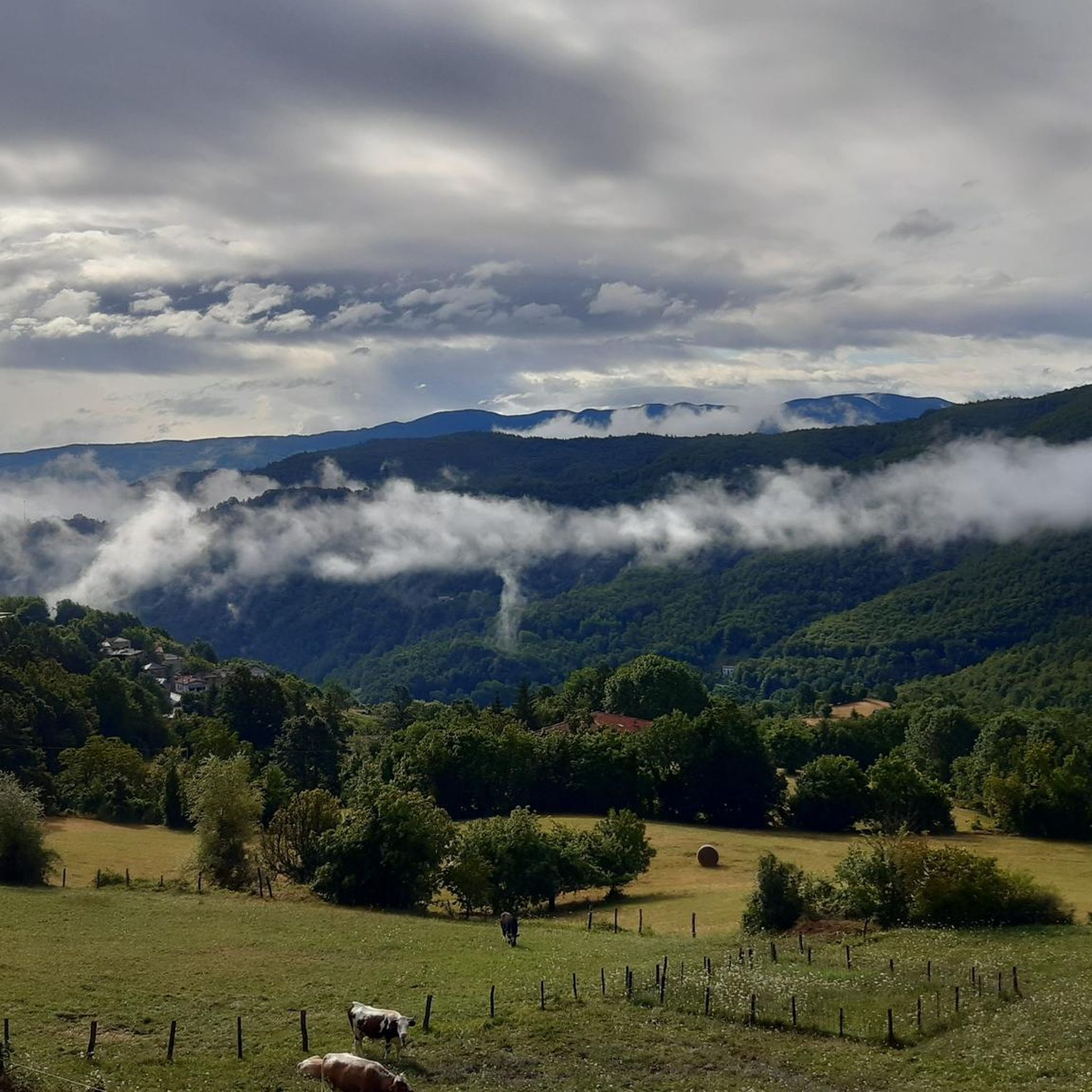
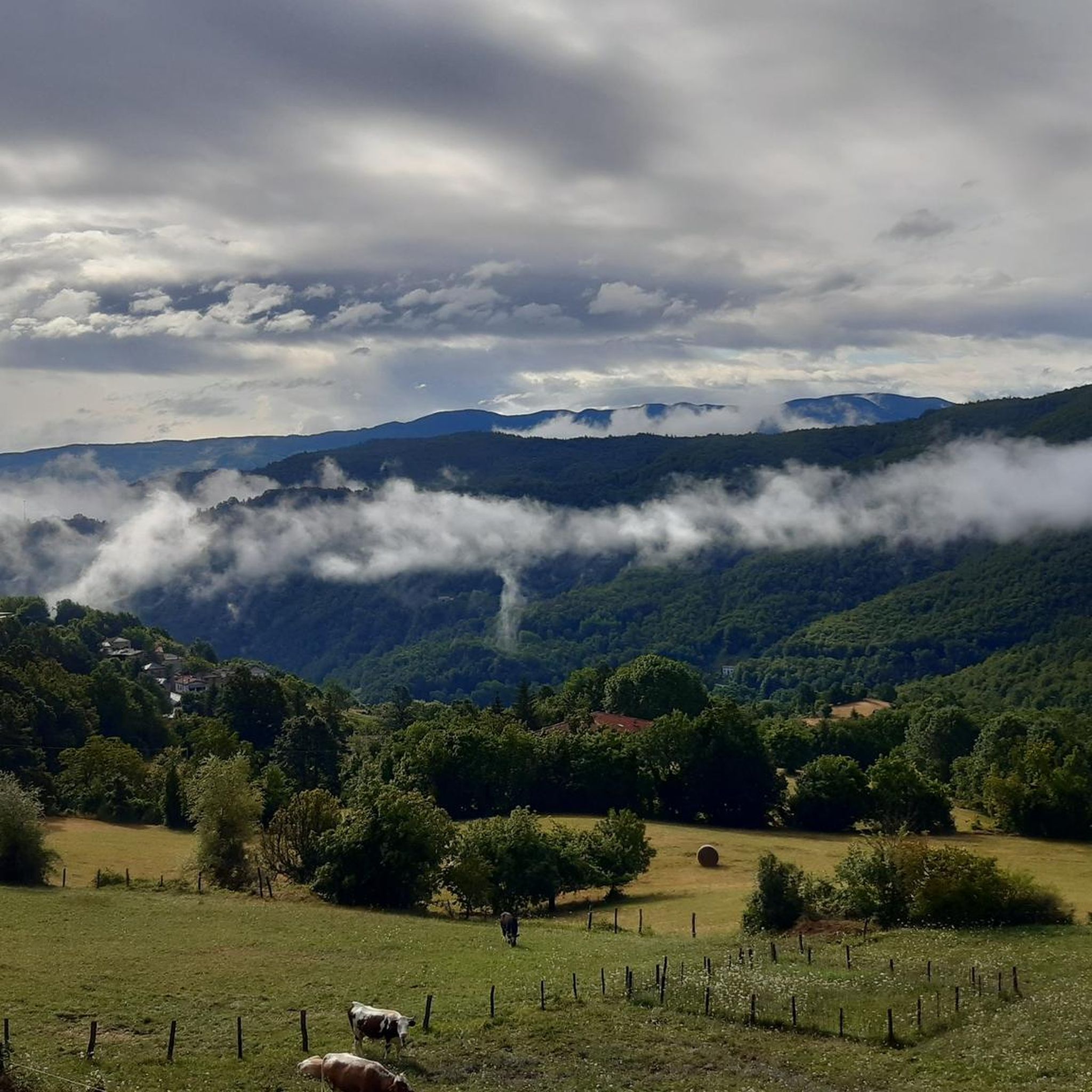
Gravel biking around Bedonia offers diverse landscapes within the Parma Apennines, characterized by mountainous terrain, river valleys, and extensive forests. The region features significant elevation changes with peaks like Mount Pelpi and numerous passes, providing challenging routes. Valleys such as Val Ceno and Val Taro, carved by their respective rivers, contribute to the varied scenery. Ancient woods of oak, chestnut, and beech offer shaded sections along many routes.
Best gravel bike trails around Bedonia
- The most popular gravel bike trail…
Last updated: July 31, 2026
5
riders
76.2km
06:59
2,470m
2,470m
Hard gravel ride. Very good fitness required. Mostly paved surfaces. Suitable for all skill levels.
5
riders
66.1km
05:00
1,470m
1,470m
Hard gravel ride. Very good fitness required. Mostly paved surfaces. Suitable for all skill levels.

Sign up for free
4
riders
80.9km
06:41
2,520m
2,520m
Hard gravel ride. Very good fitness required. Mostly paved surfaces. Suitable for all skill levels.
2
riders
95.4km
08:02
3,080m
3,080m
Hard gravel ride. Very good fitness required. Mostly paved surfaces. Suitable for all skill levels.
4.0
(1)
1
riders
13.5km
01:08
420m
420m
Moderate gravel ride. Good fitness required. Mostly paved surfaces. Suitable for all skill levels.
Our route recommendations are based on thousands of hikes, rides, and runs completed by other people on komoot.
Start today with a free account
Your next adventure awaits.
Login or Signup
Other adventures around Bedonia

Tips from the Community

It is easily well marked along the forest road.
0
0
Beautiful hiking structure located at 1,400 meters, surrounded by beech trees and positioned on the border with the municipalities of Bedonia and Tornolo for the province of Parma, and Santo Stefano d'Aveto for the metropolitan city of Genoa. Too bad it is never open despite the structure being recent and in good condition.
0
0
Beautiful pass of the Ligurian Apennines located at 1,468 meters. Strategic point that offers various alternatives to start a walk or a long hike.
0
0
Pass of the Ligurian Apennines located at an altitude of 1,452 m, it is reachable by car and is a crossroads where various hiking trails branch off.
0
0
Born from the recovery of old barracks, it is a beautiful refuge where you can both eat and stay overnight. The location is stunning and makes it a must-stop when visiting these areas.
0
0
Established in December 2010, it covers the southwestern portion of the Province of Parma, divided between the municipalities of Albareto and Borgo Val di Taro. With an altitude ranging from 478 to 693 meters above sea level, it covers an area of approximately 370 hectares and is located within the larger WWF Oasis of the same name.
0
0

Pria Burgheisa (Pietra Borghese) is a massive outcrop of mantle peridotites, among the best-known and most significant in the area. It lies on the southwestern edge of the Prato Mollo plateau, on the southern slopes of Mount Aiona, at an altitude of 1,465 m. It is a geosite of considerable petrographic, mineralogical, and regional geological interest, allowing us to study the evolution of a portion of the lithospheric mantle subsequently involved in the Apennine orogeny. The outcrop has a highly irregular shape: 30 m long, 10 m wide at its maximum, and 7–8 m high. The rocks are dark in color, ranging from blackish to brownish; the mass is affected by three main fracture systems, more or less orthogonal to each other, which fragment it into numerous square-shaped blocks. The surface of the blocks has a pitted appearance, as the pyroxene crystals, more resistant to erosion than olivine, remain prominent. At the outcrop, mantle foliation is evident, due to the presence of frequent pyroxenite bands. Source: Liguria Geosite Registry.
0
0

Situated at 717 meters above sea level, Santa Maria del Taro is a hamlet in the municipality of Tornolo (province of Parma), nestled in the heart of the Northern Apennines, near the border between Emilia and Liguria. Since the early Middle Ages, its strategic position along the ancient ridge road connecting the sea to the Po Valley has made it a transit and trade center, as well as a military and commercial control point. The name itself recalls the religious devotion that has permeated the town for centuries: the church-sanctuary dedicated to the Nativity of Mary, rebuilt in neoclassical style between 1807 and 1834, stands on an older structure and has been the spiritual center of the upper Taro Valley for centuries. The building, with its broad façade and stone bell tower, preserves a deep devotional tradition that is still alive. A short walk from the center is the Ponte dei Priori, a medieval humpbacked stone structure that once served as the only permanent access to the valley and symbolically marked the passage between the lands of the Malaspina and Fieschi families, two powerful feudal families of the Apennines. Over the centuries, Santa Maria del Taro has maintained an identity suspended between Emilian and Ligurian culture, evident in the features of its rural architecture, local dialects, and popular customs.
0
0
Most popular attractions around Bedonia

Get inspired with the komoot mobile app


Explore more
Browse the best Gravel rides in other regions.
