The best gravel rides around Cavaria Con Premezzo
4.3
(182)
1,157
riders
56
rides
Gravel biking around Cavaria Con Premezzo offers a diverse landscape characterized by river valleys, lake paths, and canal-side routes. The region features a mix of flat sections ideal for speed and gentle ascents through varied terrain. Riders can expect to encounter established cycle paths along waterways like the Olona Valley and Canale Villoresi, alongside routes that explore the surroundings of Lake Varese.
Best gravel bike trails around Cavaria Con Premezzo
- The most popular gravel bike trail is Olona Valley cycle…
Last updated: October 11, 2026
4.5
(13)
73
riders
Moderate gravel ride. Good fitness required. Mostly paved surfaces. Suitable for all skill levels.
4.2
(6)
23
riders
46.5km
03:22
490m
490m
Hard gravel ride. Very good fitness required. Mostly paved surfaces. Suitable for all skill levels.

4.3
(6)
17
riders
31.8km
02:10
280m
280m
Moderate gravel ride. Good fitness required. Mostly paved surfaces. Suitable for all skill levels.
5.0
(3)
36
riders
50.5km
03:13
370m
370m
Moderate gravel ride. Good fitness required. Mostly paved surfaces. Suitable for all skill levels.
11
riders
Hard gravel ride. Very good fitness required. Mostly paved surfaces. Suitable for all skill levels.
Get access to more routes and recommendations from other explorers.
Already have an account?
Our route recommendations are based on thousands of hikes, rides, and runs completed by other people on komoot.
Start today with a free account
Your next adventure awaits.
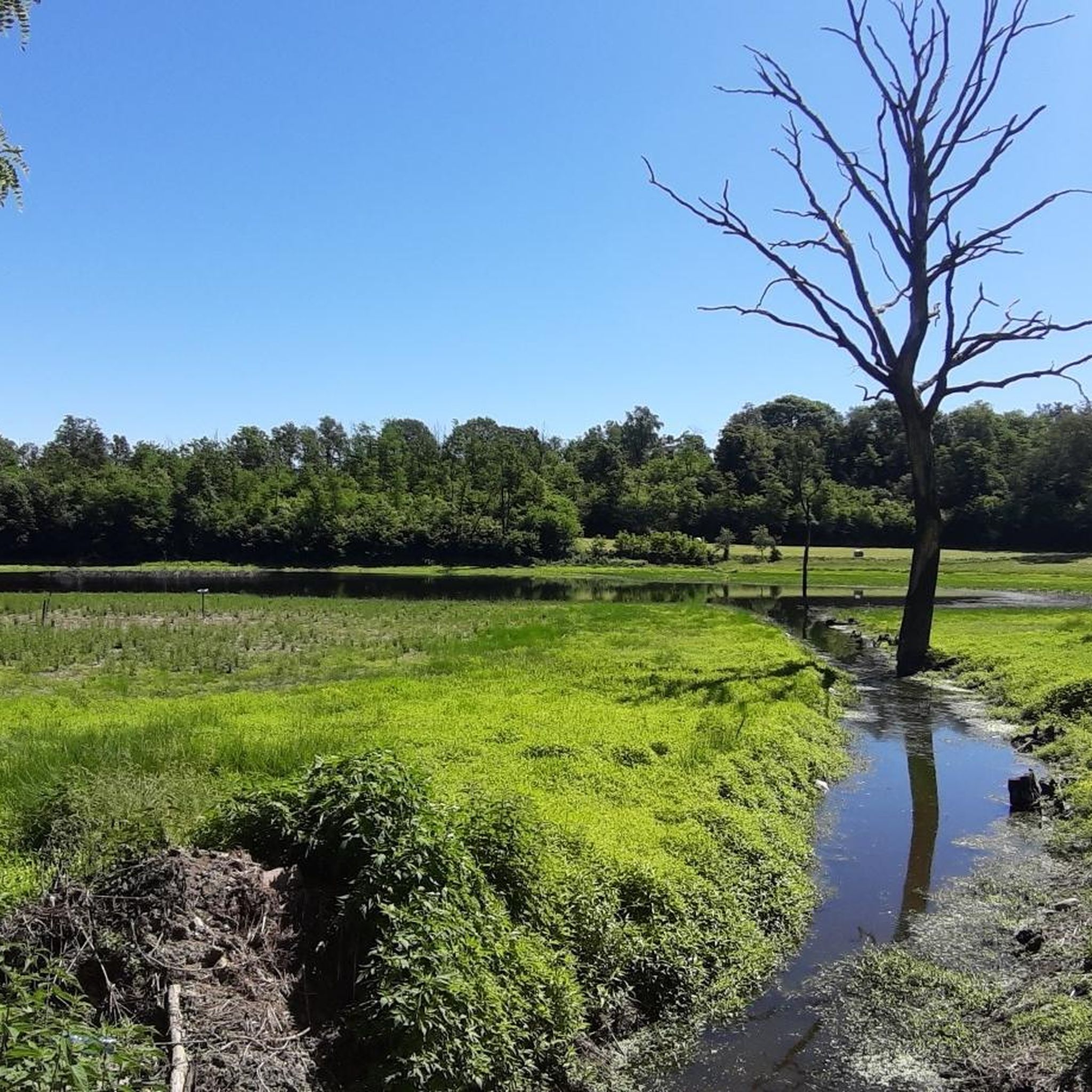
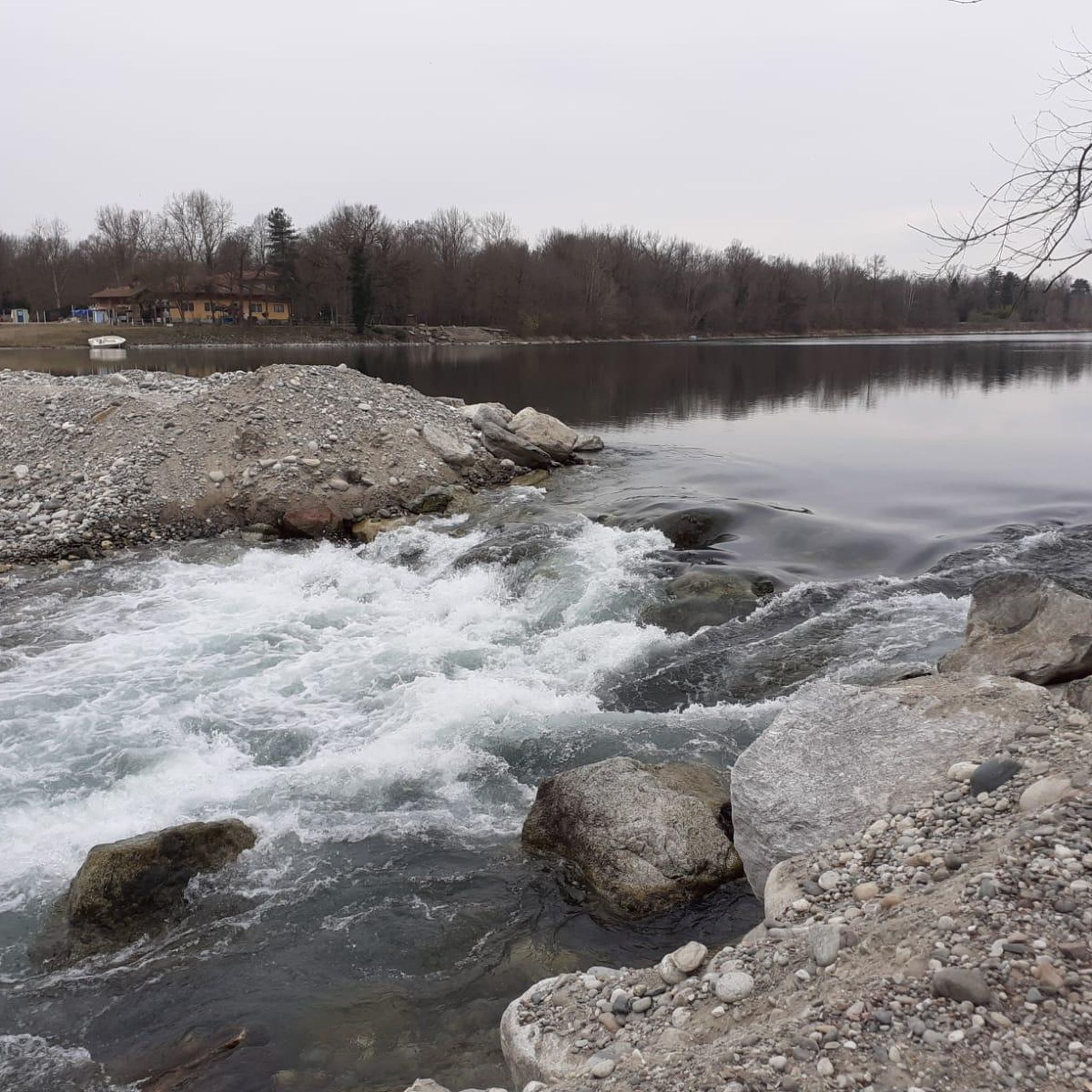
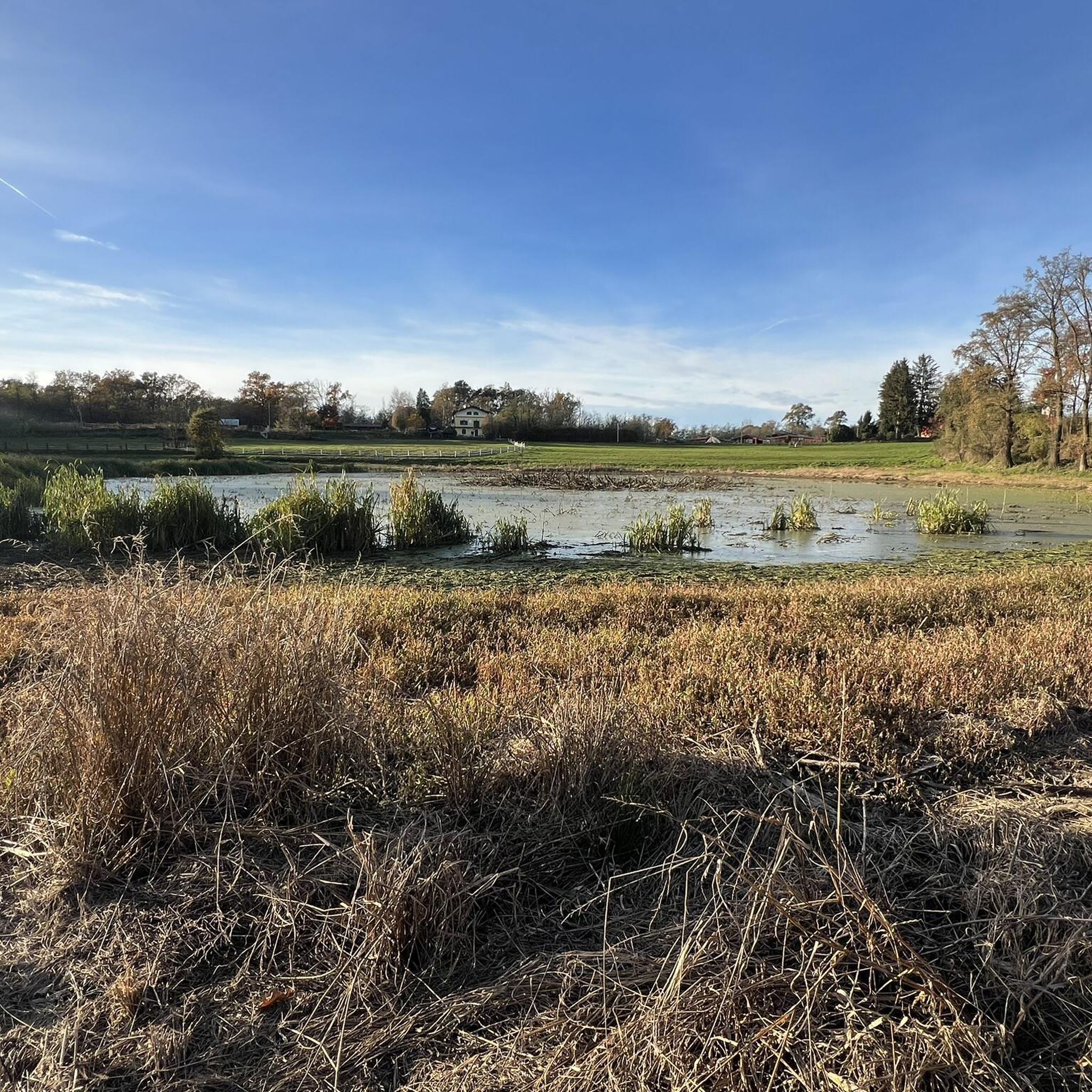
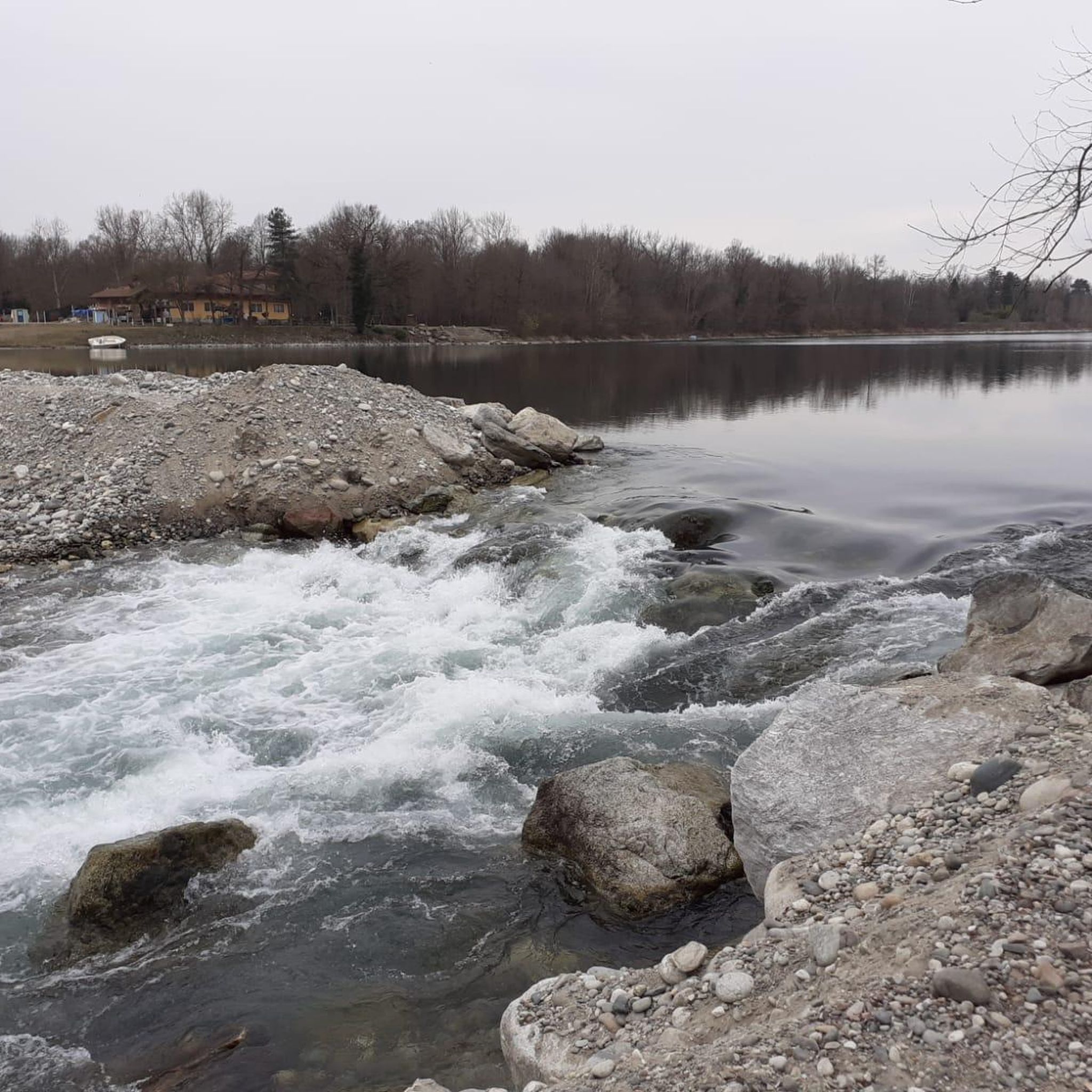

Tips from the Community

The Parco delle Groane e della Brughiera Briantea is an immense protected natural area in Lombardy that extends for about 8,249 hectares in the upper Lombardy plain, touching 28 or 29 municipalities distributed among the provinces of Milan, Como, and Monza and Brianza. [1, 2, 3, 4] Originally established in 1976, the park has doubled its surface area in recent years thanks to the incorporation of the PLIS della Brughiera Briantea and the Fontana del Guercio Nature Reserve. The term "groane" derives from the local historical name for heathlands, which here represent one of the southernmost heathlands in Europe.
0
0
The Villoresi Canal towpath connects Arese and the nearby municipalities via cycle paths and service roads, offering a convenient cycle-pedestrian route along the artificial canal that connects the Ticino and Adda rivers.
0
0
The Strada Alzaia Canale Villoresi is a service road of about 85-90 km that runs along the canal from Somma Lombardo (VA) to Cassano d'Adda (MI), managed by the Consorzio Est Ticino Villoresi. Although it is widely used by cyclists and walkers, it is not a real cycle path but a road for mixed use and maintenance.
0
0

bridge over the Lura in the homonymous park
0
0
The Villoresi Canal begins at the Panperduto Dam, a historic and imposing hydraulic junction located in the municipality of Somma Lombardo (VA), where the canal draws its waters from the Ticino river.
1
0
The unique name "Panperduto" derives mainly from the local dialect and ancient stories related to river navigation before the construction of the dam. In the past, commercial barges carrying goods or stones often collided with the rapids and rocky riverbeds of this stretch of the river, ending up capsizing and losing their entire cargo. This meant the loss of the entire day's work and the earnings needed to buy food, hence the saying "we lost the bread" (hence Panperduto).
0
0
La Diga del Panperduto (or rather, the Dighe del Panperduto) is one of Lombardy's most important and fascinating hydraulic junctions, located on the Ticino river in the municipality of Somma Lombardo, in the province of Varese. This monumental complex of hydraulic engineering dates back to the late 19th century (inaugurated in 1884) and mainly serves to divert the waters of the Ticino to feed two fundamental artificial canals: Villoresi Canal: used for irrigation purposes, guaranteeing water for over 100,000 hectares of agricultural land in the Po Valley. Industrial Canal: fundamental for the production of hydroelectric energy through various power plants in the area.
0
0

It is one of the oldest hydroelectric power plants in Italy: it was officially inaugurated on October 9, 1901, in the presence of the King of Italy Vittorio Emanuele III. Between 1935 and 1938, it was completely modernized, based on a project by architect Giovanni Muzio - an exponent of the so-called Novecento artistic movement - also increasing the power to 31.5 MW. The power plant, of significant historical value, represents the perfect union between past and future and is an important element for energy production using flowing water technology.
0
0
Frequently Asked Questions
How many gravel bike trails are available around Cavaria Con Premezzo?
There are over 70 gravel bike routes to explore in the Cavaria Con Premezzo area, offering a wide range of options for different skill levels and preferences.
What is the best time of year for gravel biking in Cavaria Con Premezzo?
The spring and autumn months generally offer the most pleasant conditions for gravel biking in Cavaria Con Premezzo, with milder temperatures and beautiful scenery. Summer can be warm, especially in the middle of the day, while winter rides are possible but may require checking local weather and trail conditions for ice or mud.
Are there gravel bike trails suitable for beginners in Cavaria Con Premezzo?
Yes, the region offers several easier routes. While many trails are moderate to difficult, there are at least 6 routes categorized as easy, often found along the flatter sections of river valleys and canal paths. These are great for those new to gravel biking or looking for a more relaxed ride.
Where can I find more challenging gravel bike routes around Cavaria Con Premezzo?
For experienced gravel bikers seeking a challenge, there are 18 difficult routes available. A notable option is the Molera Caves – Seven Hairpins of Valmorea loop from Albizzate-Solbiate Arno, which covers over 64 km with significant elevation gain.
What are some of the longer gravel bike routes available?
The longest route in the area is the Molera Caves – Seven Hairpins of Valmorea loop from Albizzate-Solbiate Arno, spanning approximately 64.4 km. Another substantial option is the Olona Valley cycle path – Monastery of Torba loop from Gallarate, which is about 60.3 km long.
Are there any family-friendly gravel bike trails in the area?
While specific 'family-friendly' designations can vary, routes along the Canale Villoresi or flatter sections of the Olona Valley are generally suitable for families, especially those with older children or trailers. These paths often have less elevation and are well-maintained. Always check the route's difficulty and length to ensure it matches your family's capabilities.
What kind of landscapes and terrain can I expect on gravel bike trails here?
Gravel biking around Cavaria Con Premezzo is characterized by diverse landscapes including river valleys, lake paths, and canal-side routes. You'll encounter a mix of flat sections ideal for speed and gentle ascents through varied terrain, often on established cycle paths along waterways like the Olona Valley and Canale Villoresi, as well as routes exploring the surroundings of Lake Varese.
What do other gravel bikers enjoy most about the trails in Cavaria Con Premezzo?
The area is highly rated by the komoot community, with an average score of 4.2 stars from over 180 reviews. Riders often praise the diverse scenery, the well-maintained paths along waterways, and the variety of routes catering to different skill levels, from leisurely rides to more challenging explorations.
Are there any circular gravel bike routes available?
Yes, many of the gravel bike routes in Cavaria Con Premezzo are designed as loops, allowing you to start and finish at the same point. Examples include the Lake Varese Cycle Path – Fontanili Trail loop from Cavaria-Oggiona-Jerago and the Alzaia Canale Villoresi – Villoresi Cycle Path🚲 loop from Gallarate.
What are some interesting natural or historical sights to see near the gravel bike trails?
While gravel biking, you can explore several points of interest. Consider visiting the Castelseprio Archaeological Park, the Lagozza di Besnate Archaeological Site, or enjoying the natural beauty of Lake Comabbio. The region also features unique natural monuments like the Formation of the stump.
Are there options for parking near the starting points of gravel bike trails?
Many routes in the Cavaria Con Premezzo area, especially those starting from towns like Gallarate or near popular lakes, offer designated parking areas. It's advisable to check the specific route details on komoot for information on parking availability at the suggested starting points.
Can I find cafes or refreshment stops along the gravel bike trails?
Given the region's proximity to towns and villages, many routes will pass through or near places where you can find cafes, restaurants, or shops for refreshments. Trails along Lake Varese or through more populated river valleys are particularly good for finding convenient stops.
Most popular routes around Cavaria Con Premezzo
Most popular attractions around Cavaria Con Premezzo

Get inspired with the komoot mobile app


Explore more
Browse the best Gravel rides in other regions.
