The best gravel rides around Trasaghis
4.5
(102)
806
riders
53
rides
Gravel biking around Trasaghis offers routes through varied terrain in Friuli-Venezia Giulia, characterized by the Tagliamento River valley and surrounding hills leading to mountain huts. The region features a mix of riverside paths, forested sections, and ascents to elevated areas like Monte Prat. The landscape includes the Carnic Alps and Friulian Dolomites, providing a dramatic backdrop for gravel bike trails. These routes offer opportunities to explore the natural environment on two wheels.
Best gravel bike trails around Trasaghis
- The most…
Last updated: November 4, 2026
4.4
(5)
33
riders
54.2km
04:30
1,600m
1,600m
Hard gravel ride. Very good fitness required. Mostly paved surfaces.
4.6
(13)
65
riders
31.8km
02:06
490m
490m
Hard gravel ride. Very good fitness required. Mostly paved surfaces.

5.0
(1)
10
riders
26.4km
02:22
970m
970m
Hard gravel ride. Very good fitness required. Mostly paved surfaces.
4.3
(3)
22
riders
Moderate gravel ride. Good fitness required. Mostly paved surfaces.
5.0
(1)
14
riders
118km
07:53
2,130m
2,130m
Hard gravel ride. Very good fitness required. Mostly paved surfaces.
Get access to more routes and recommendations from other explorers.
Already have an account?
Our route recommendations are based on thousands of hikes, rides, and runs completed by other people on komoot.
Start today with a free account
Your next adventure awaits.
Tips from the Community

• Since the riverbed consists entirely of thick layers of limestone and dolomite, the river acts as a giant, natural filtration system. The water seeps through kilometers of rock, automatically cleansing itself of all sediments. For this reason, the Tagliamento retains its incredible, surreal turquoise-emerald hue even when it flows through densely populated lowlands.
0
0
• UNESCO for "Resurrection" via the anastylosis method: Venzone did not make it onto the UNESCO list because it survived for centuries intact. It made it there because in 1976, a powerful earthquake leveled it to the ground 100%. The UNESCO inscription honors a reconstruction process unprecedented in world history. Residents and conservators rejected the idea of building a modern town. Instead, they picked up every single stone, even the smallest, from the rubble, numbered them based on thousands of archival photos, and used anastylosis to reassemble the entire Gothic town from scratch, like a giant puzzle. Riding your bike here, you are cycling through an architectural wonder of the world.
0
0

The city wall cannot be walked on. Still nice to walk along it.
4
0

Quiet, mostly shady road without much traffic.
0
0

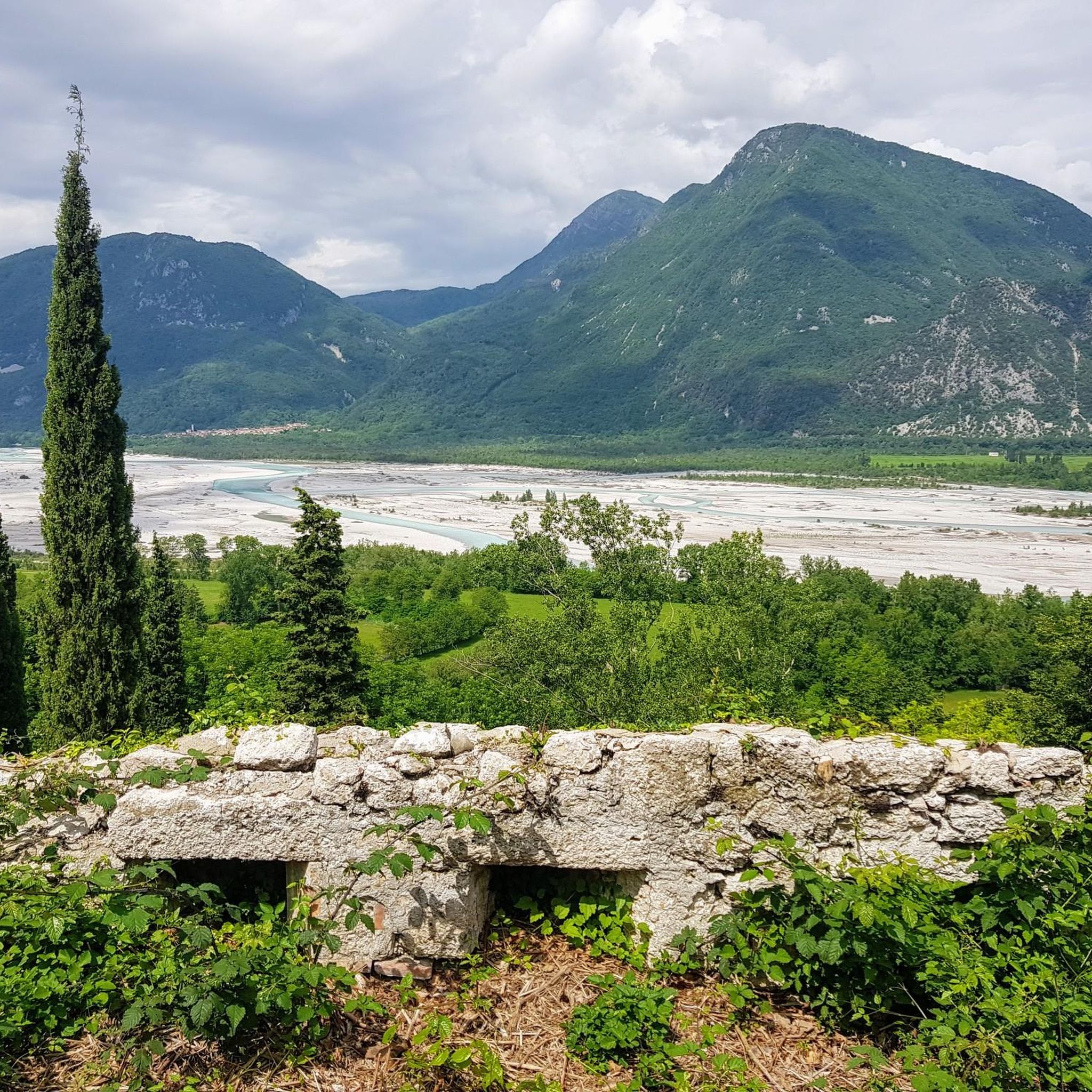
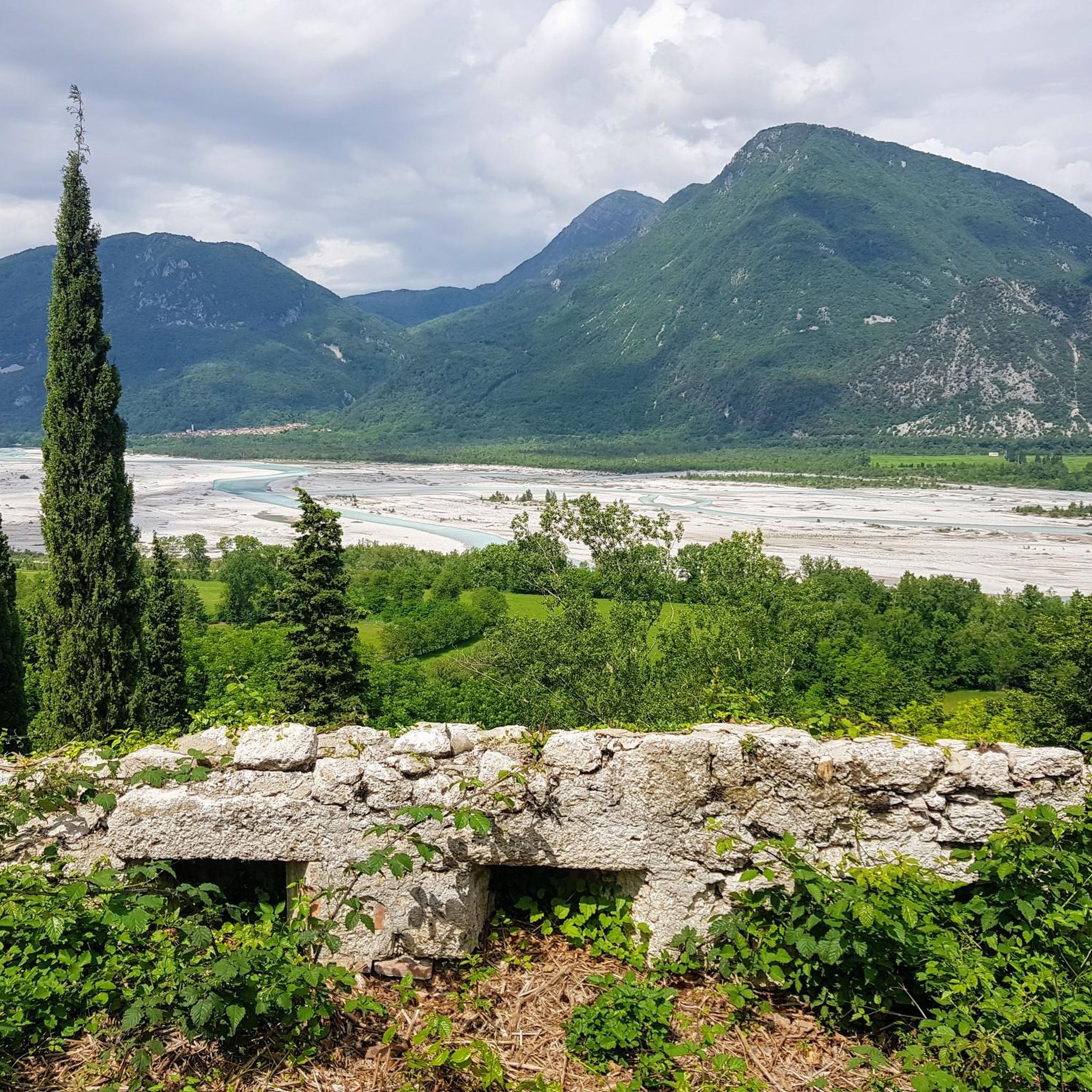
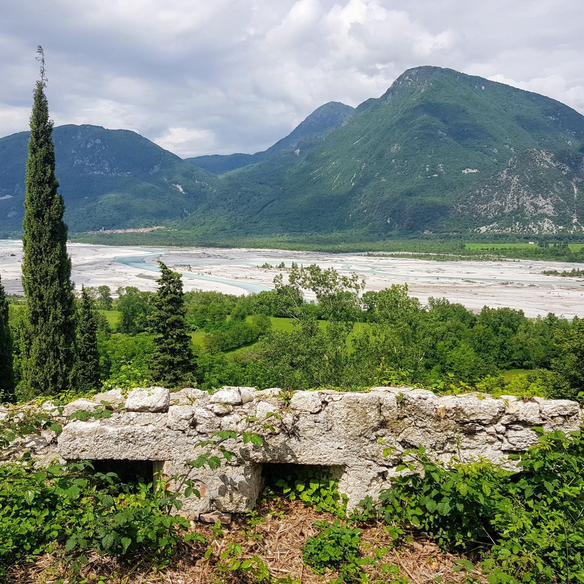
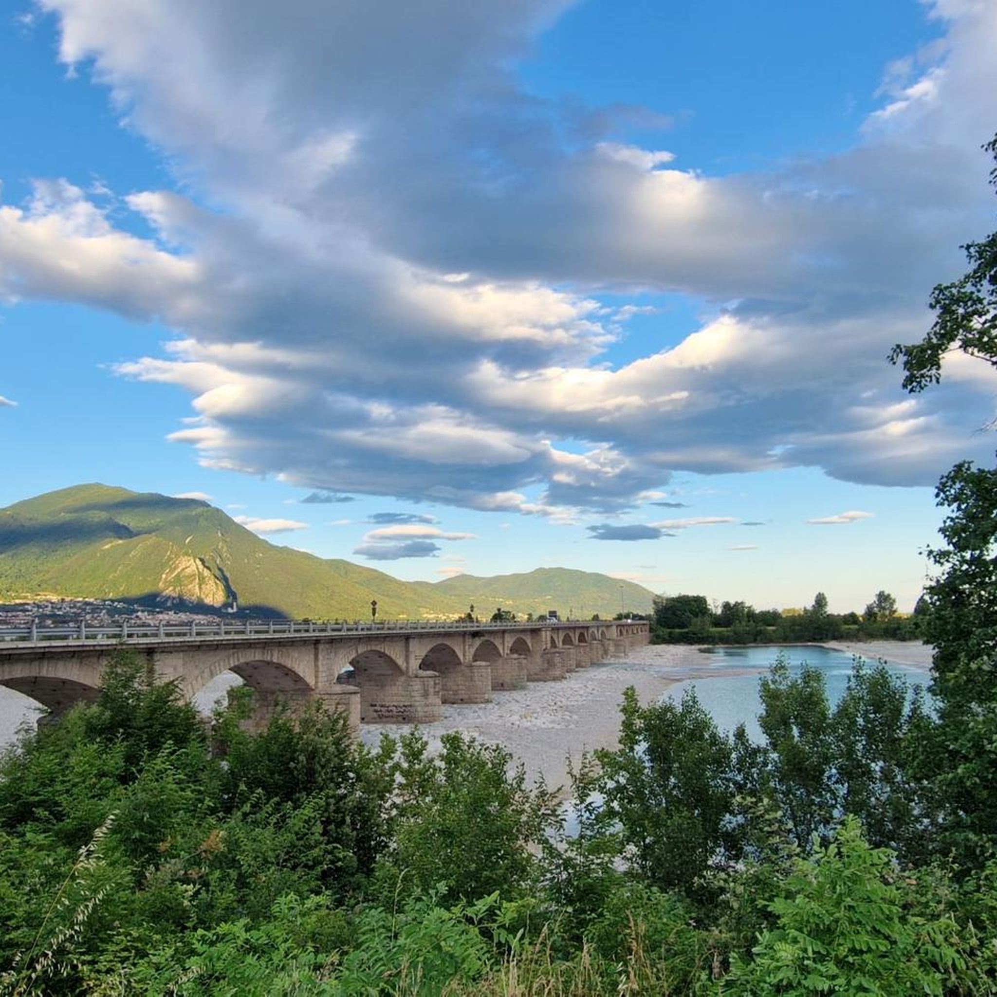
A good way to get a wide view of the imposing Tagliamento riverbed towards Gemona. At this point, there is also access from the bank into the riverbed, which is used by many on sunny days to "recharge their batteries".
0
0
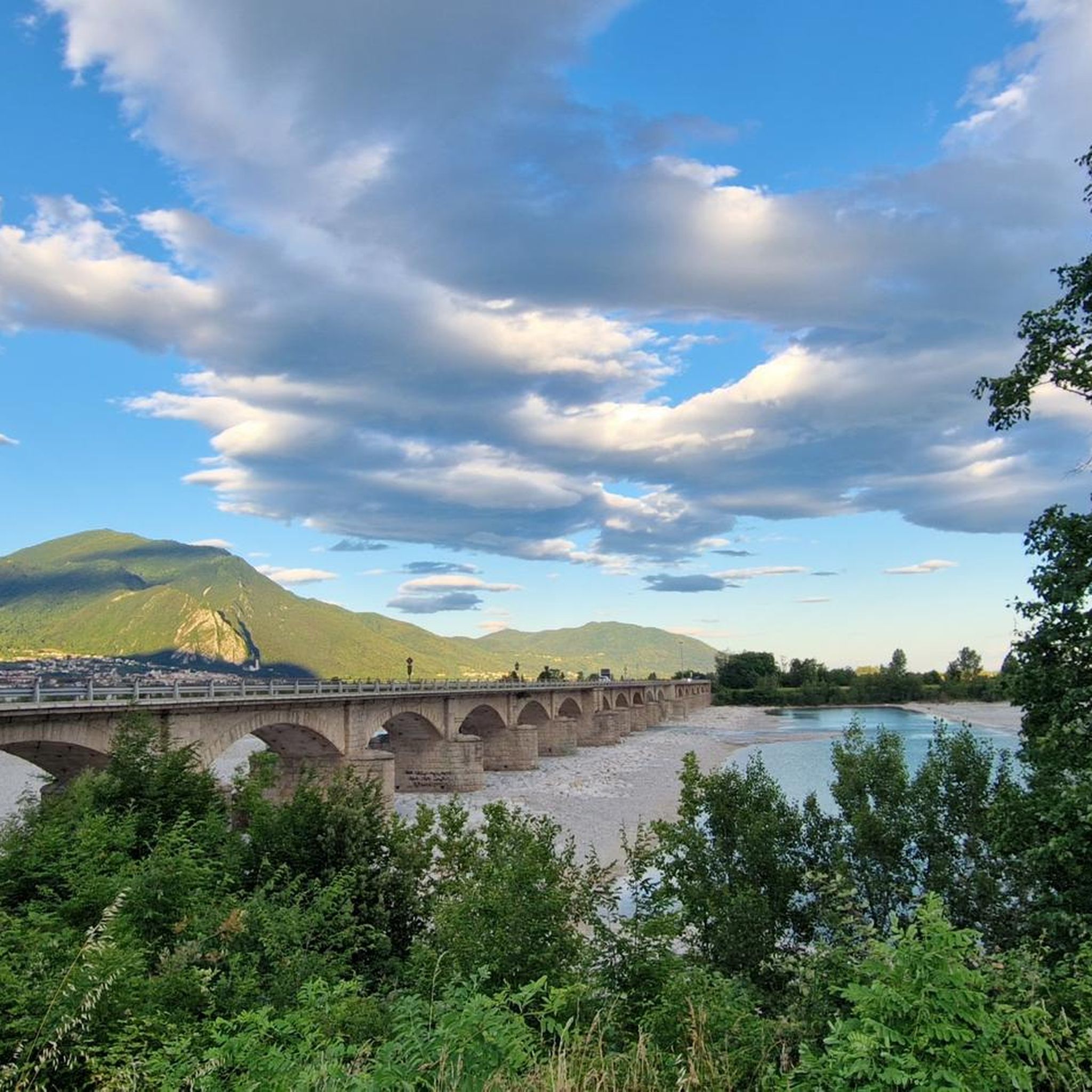
A mega-cool, well-developed cycle path that offers the opportunity at this point to cycle over a "true relic" of the former railway line.
0
0
A mega-cool, well-developed cycle path that, at this point, offers the opportunity to cycle over a "true relic" of the former railway line.
0
0
Easy access to the right bank. From the bank, an almost classic view of the bunker. With the sunset, great reflections form in the Tagliamento river.
0
0
Frequently Asked Questions
How many gravel bike trails are available around Trasaghis?
There are over 60 gravel bike trails around Trasaghis, offering a wide range of options for different skill levels. The komoot community has explored these routes more than 700 times, highlighting the area's popularity for gravel biking.
Are there any beginner-friendly gravel bike routes in Trasaghis?
While many routes in Trasaghis are challenging, there are a few easier options available. The region's terrain, characterized by river valleys and ascents, means even 'easy' routes might have some elevation. It's always best to check the route details on komoot for specific difficulty ratings and elevation profiles.
What are the most challenging gravel bike routes near Trasaghis?
Trasaghis is known for its demanding gravel rides. Some of the most challenging routes include the Cuar Mountain Hut loop from Trasaghis / Trasâgas, which features significant elevation gain, and the Monte Prat – Cuar Mountain Hut loop from Trasaghis / Trasâgas, which leads through elevated plateaus and mountain huts.
What is the typical length and duration of gravel bike trails in this region?
Gravel bike trails around Trasaghis vary significantly in length and duration. You can find routes ranging from shorter rides of around 13 miles (21 km) to much longer, more demanding tours exceeding 50 miles (80 km). Durations can range from a few hours to full-day adventures, depending on the route's distance and elevation.
Are there any gravel bike routes that offer scenic views of the Tagliamento River?
Yes, the Tagliamento River is a prominent feature of the landscape. The Tagliamento River – View of the Tagliamento River loop from Braulins is a difficult route specifically designed to provide extensive views of the river as it winds through the valley. You can also explore the river more closely by visiting the Tagliamento River highlight.
What kind of natural attractions can I expect to see along the gravel bike trails?
The trails often pass through diverse natural landscapes. You can expect to see beautiful lakes such as Lake Cornino and Lake Cavazzo. The routes also traverse forested sections and offer views of the Tagliamento River valley and surrounding hills, leading to elevated areas like Monte Prat.
Are there any historical or cultural landmarks accessible by gravel bike?
Yes, the region has several points of interest. You might encounter the Church of Saint Agnes or the Sella Chianzutan Pass and Sculpture Park. For those interested in ancient history, the Col di Zuca Archaeological Site is another notable landmark.
What is the best time of year for gravel biking in Trasaghis?
Spring and autumn generally offer the most pleasant conditions for gravel biking in Trasaghis, with milder temperatures and beautiful scenery. Summer can be hot, especially in the river valleys, while winter rides are possible but require checking weather conditions for snow or ice, particularly at higher elevations.
Are there any loop trails for gravel biking around Trasaghis?
Many of the gravel bike routes in Trasaghis are designed as loops, allowing you to start and finish in the same location. Examples include the Panchine Trail – Mountain Cabins loop from Gemona del Friuli / Glemone and the Tagliamento Bridge – Tagliamento River loop from Cornino.
What do other gravel bikers enjoy most about the trails in Trasaghis?
The gravel bike trails in Trasaghis are highly rated by the komoot community, with an average score of 4.3 stars from over 70 reviews. Riders often praise the varied terrain, from riverside paths to challenging climbs towards mountain huts, and the opportunities to explore the natural landscape of Friuli-Venezia Giulia.
Are there opportunities for cafe stops or refreshments along the routes?
Many of the longer and more challenging routes, especially those ascending to higher elevations, pass by mountain huts. For example, the routes leading to Cuar Mountain Hut often provide opportunities for refreshments. It's advisable to check individual route descriptions for specific amenities or plan to carry your own supplies.
What kind of wildlife might I encounter while gravel biking in Trasaghis?
Given the diverse natural environment of river valleys, forests, and mountainous areas, you may encounter various forms of wildlife. Keep an eye out for local bird species, small mammals, and other forest inhabitants, especially during quieter times of day. Respecting the natural habitat is key.
Most popular attractions around Trasaghis

Get inspired with the komoot mobile app


Explore more
Browse the best Gravel rides in other regions.
