The best gravel rides around Lungerersee
4.4
(12)
71
riders
6
rides
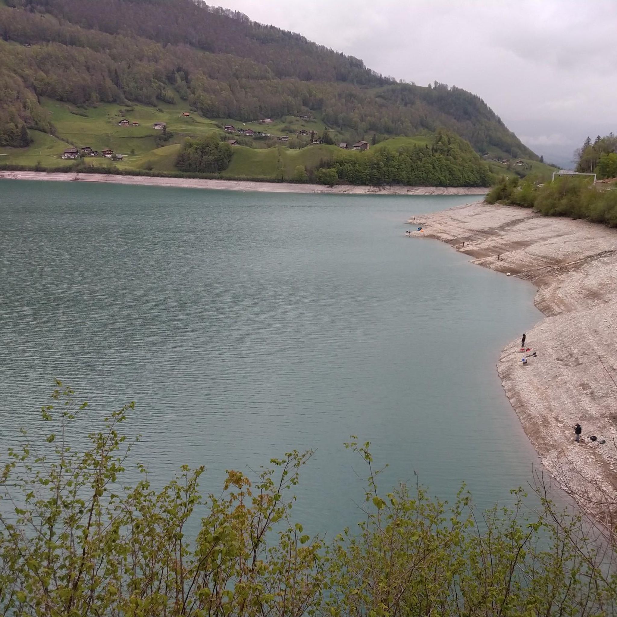
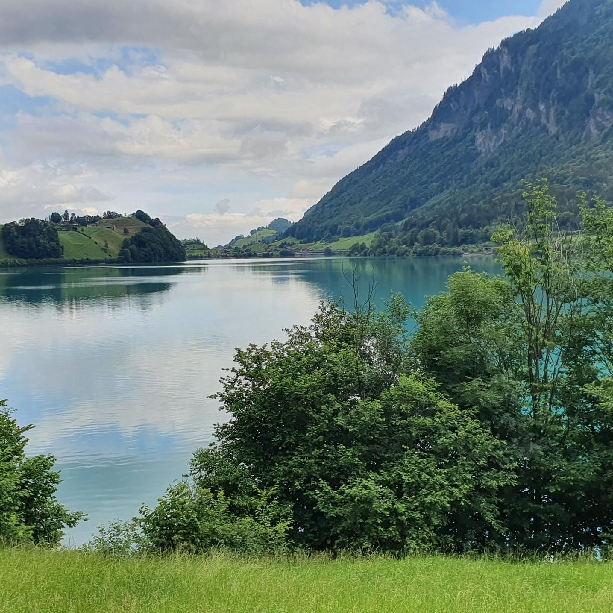
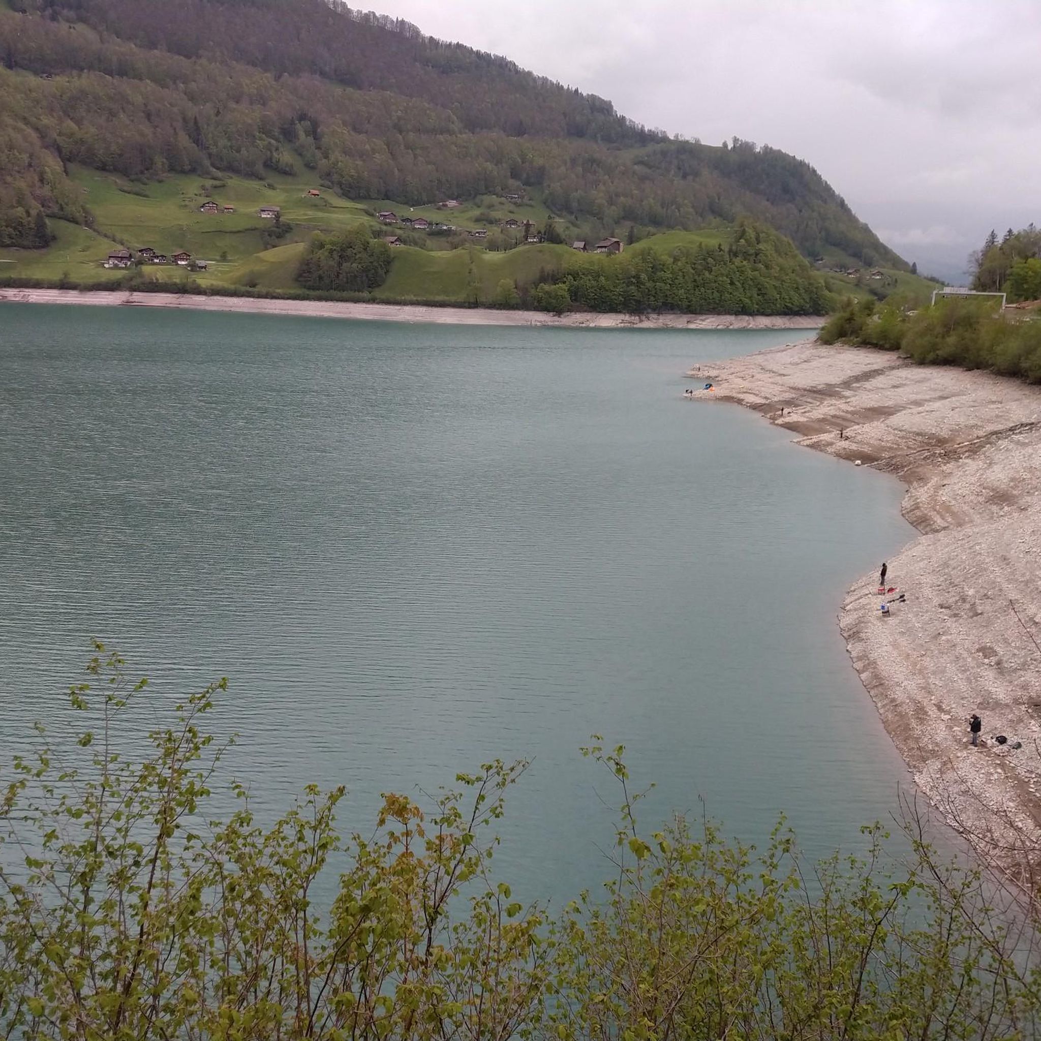
Gravel biking around Lungerersee offers diverse terrain set against the emerald-colored lake and the Obwalden mountain range. The region features a mix of dedicated gravel paths, verdant forests, and scenic routes that include ascents and descents. Riders can explore lakeside trails, higher elevations, and lush meadows, providing varied surfaces for gravel bikes. The landscape is characterized by the tranquil lake, surrounding mountains, and valleys.
Best gravel bike trails around Lungerersee
- The most popular gravel bike trail is View of Haslital…
Last updated: July 30, 2026
4.2
(5)
8
riders
17.8km
01:26
540m
540m
Hard gravel ride. Very good fitness required. Mostly paved surfaces. Suitable for all skill levels.
4.0
(1)
17
riders
30.9km
02:45
1,210m
1,210m
Hard gravel ride. Very good fitness required. Mostly paved surfaces. Suitable for all skill levels.

Sign up for free
4.5
(2)
9
riders
31.5km
02:24
810m
810m
Hard gravel ride. Very good fitness required. Mostly paved surfaces. Suitable for all skill levels.
5
riders
25.9km
01:56
570m
570m
Hard gravel ride. Very good fitness required. Mostly paved surfaces. Suitable for all skill levels.
2
riders
9.58km
00:56
420m
420m
Moderate gravel ride. Good fitness required. Mostly paved surfaces. Suitable for all skill levels.
Our route recommendations are based on thousands of hikes, rides, and runs completed by other people on komoot.
Start today with a free account
Your next adventure awaits.
Login or Signup


Other adventures around Lungerersee

Tips from the Community

The Hasliberg swimming lake (in Twing / Wasserwendi) is the perfect oasis for a refreshing dip against a stunning mountain backdrop! 🏊♂️🏔️ With a newly created sandy beach, cozy sunbathing lawns, and a shallow children's area, the cool natural lake is a brilliant reward after a hike or bike tour 🏖️☀️ Pro tip: grab a local refreshment at the small bistro and enjoy the view of the mountain range from the beach chairs! ☕🍦
0
0

Can only confirm Gravelgrindeur, quiet and picturesque road. However, the gravel seems to have been replaced in the meantime, which my road bike was happy about.
0
0

A pleasant drinking water spring in a picturesque setting. Nearby refreshment options complete the offering.
0
0
Coming from Oberwilen, the road becomes increasingly narrow and is now just one lane wide. The bridge looks like it might need to be replaced after heavy mudslides...
0
0


A pile of stones with a narrow bridge that's also used by cars. So be careful when stopping for photos on the bridge.
0
0
A nice place for a breakdown :-)
0
0

The lake is also suitable for ice bathing in winter. Small jetty for direct entry and exit.
0
0
Frequently Asked Questions
How many gravel bike trails are available around Lungerersee?
There are nearly 10 gravel bike routes documented around Lungerersee, offering a variety of experiences for riders. These routes are highly rated by the komoot community, with an average score of 4.6 stars.
What is the typical difficulty level of gravel biking routes in Lungerersee?
Most gravel biking routes around Lungerersee are considered challenging, with 8 out of 9 routes rated as difficult. These often feature significant elevation changes and varied terrain. However, there is one moderate route available, and the region also offers easier lakeside paths suitable for a more relaxed ride.
What kind of terrain can I expect on gravel bike trails around Lungerersee?
The terrain around Lungerersee is diverse, ranging from dedicated gravel paths along the lake to more challenging mountainous sections with ascents and descents. You'll encounter fine gravel paths, verdant forests, and lush meadows, all set against the backdrop of the emerald-colored lake and the majestic Obwalden mountain range.
Are there any easy gravel bike routes suitable for beginners or families?
While many routes are challenging, the path that encircles Lungerersee, often referred to as the Lungern to Giswil Lakeside Gravel Path, offers a generally easy ride on fine gravel. This is a great option for beginners or families looking for a less strenuous experience with beautiful lake views.
What are some notable viewpoints or natural features to look out for on the trails?
The region is rich in natural beauty. You'll enjoy panoramic views of the Obwalden mountain range and the vivid emerald waters of Lake Lungern. The area also features lush flower meadows and offers detours to beautiful waterfall viewpoints. For elevated vistas, consider routes that pass near the Turren area, accessible via the Turren Bahn cable car.
What is the best season for gravel biking around Lungerersee?
The best season for gravel biking around Lungerersee is typically from spring through autumn. During these months, the weather is generally pleasant, and the trails are in good condition. Summer offers the warmest temperatures, with lake waters reaching up to 23°C, perfect for a post-ride swim.
Are there any specific routes that offer a good challenge for experienced gravel bikers?
Yes, experienced gravel bikers will find several challenging routes. For instance, the View of Haslital – Meiringen loop from Meiringen is a difficult 30.9 km trail with over 1200 meters of elevation gain. Another demanding option is the Alpbach Gorge Viewing Platform – Engstlenalp loop from Aareschlucht West, which covers 41.4 km with over 1600 meters of climbing.
Can I find places to eat or stay near the gravel biking routes?
Yes, the Lungerersee area offers options for refreshments and accommodation. The Kaiserstuhl Restaurant, located at the north end of the lake, is a recommended stop. Additionally, the Seepark Lungern provides a café/kiosk. For accommodation, the village of Lungern and surrounding areas have various options.
Are there any picnic or barbecue spots along the trails?
Yes, there are numerous picnic and barbecue spots available around Lungerersee, making it ideal for leisurely breaks during your ride. You can find a dedicated Picnic area by the lake for your convenience.
What do other gravel bikers enjoy most about gravel biking in Lungerersee?
The komoot community highly rates the gravel biking experience around Lungerersee, with an average score of 4.6 stars from over 150 visitors. Riders often praise the stunning emerald lake views, the majestic mountain panoramas, and the varied terrain that offers both challenging climbs and scenic lakeside paths.
Is it possible to access the gravel biking trails using public transport?
Yes, Lungern is situated on the route over the Brünig Pass, which is well-connected by public transport. You can reach Lungern by train, making it convenient to access the trails without a car. Many routes start directly from or near the village.
Are there any loop recommendations for gravel biking around Lungerersee?
Several routes offer excellent loop experiences. For a challenging ride, consider the Hotel Paxmontana – Wichelsee loop from Ewil Maxon, a 46.1 km path with notable climbs. Another option is the Lungerersee – Hasliberg Swimming Lake loop from Meiringen, which is 31.5 km and leads through mountainous terrain and past the lake.
Most popular routes around Lungerersee
Most popular attractions around Lungerersee

Get inspired with the komoot mobile app


Explore more
Browse the best Gravel rides in other regions.
