The best mountain hikes around Lungerersee
4.6
(12)
129
hikers
7
hikes
Mountaineering routes around Lungerersee traverse a landscape characterized by alpine meadows, dense forests, and challenging mountain terrain. The region features significant elevation changes, offering routes that lead to panoramic viewpoints over the lake and surrounding peaks. These trails often involve rocky paths and exposed sections, typical of high-alpine environments. The area provides a diverse range of mountaineering experiences within the Obwalden canton.
Best mountaineering routes around Lungerersee
- The most popular mountaineering route is Alp Breitenfeld – Turren Restaurant loop from…
Last updated: November 6, 2026
5.0
(6)
22
hikers
11.5km
04:29
700m
700m
Hard mountaineering route. Good fitness required. Sure-footedness, sturdy shoes and alpine experience required.
4.0
(1)
15
hikers
8.44km
03:45
670m
670m
Hard mountaineering route. Good fitness required. Sure-footedness, sturdy shoes and alpine experience required.

4.0
(1)
9
hikers
7.27km
02:47
500m
500m
Moderate mountaineering route. Good fitness required. Mostly walkable paths. Sure-footedness required.
5.0
(1)
7
hikers
10.5km
04:50
770m
770m
Hard mountaineering route. Good fitness required. Sure-footedness, sturdy shoes and alpine experience required.
6
hikers
8.79km
03:02
420m
420m
Moderate mountaineering route. Good fitness required. Mostly walkable paths. Sure-footedness required.
Get access to more routes and recommendations from other explorers.
Already have an account?
Our route recommendations are based on thousands of hikes, rides, and runs completed by other people on komoot.
Start today with a free account
Your next adventure awaits.
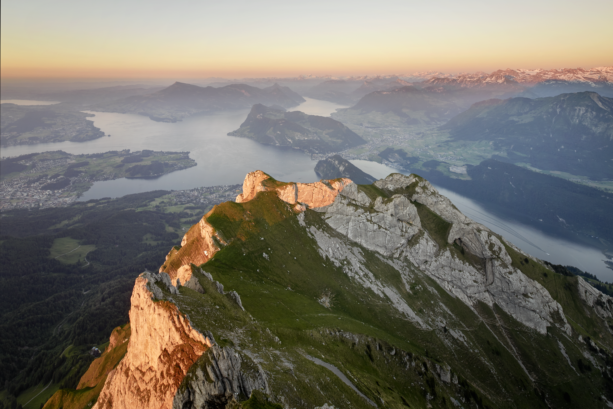
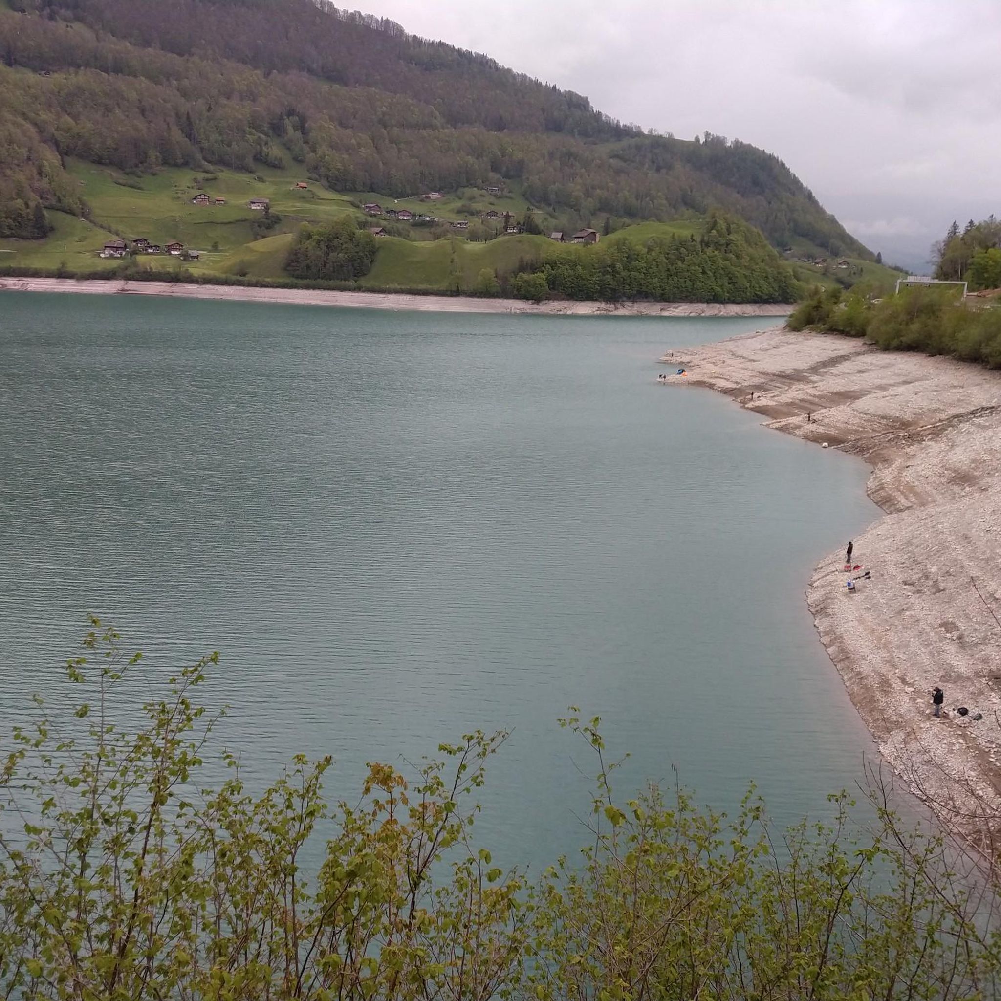
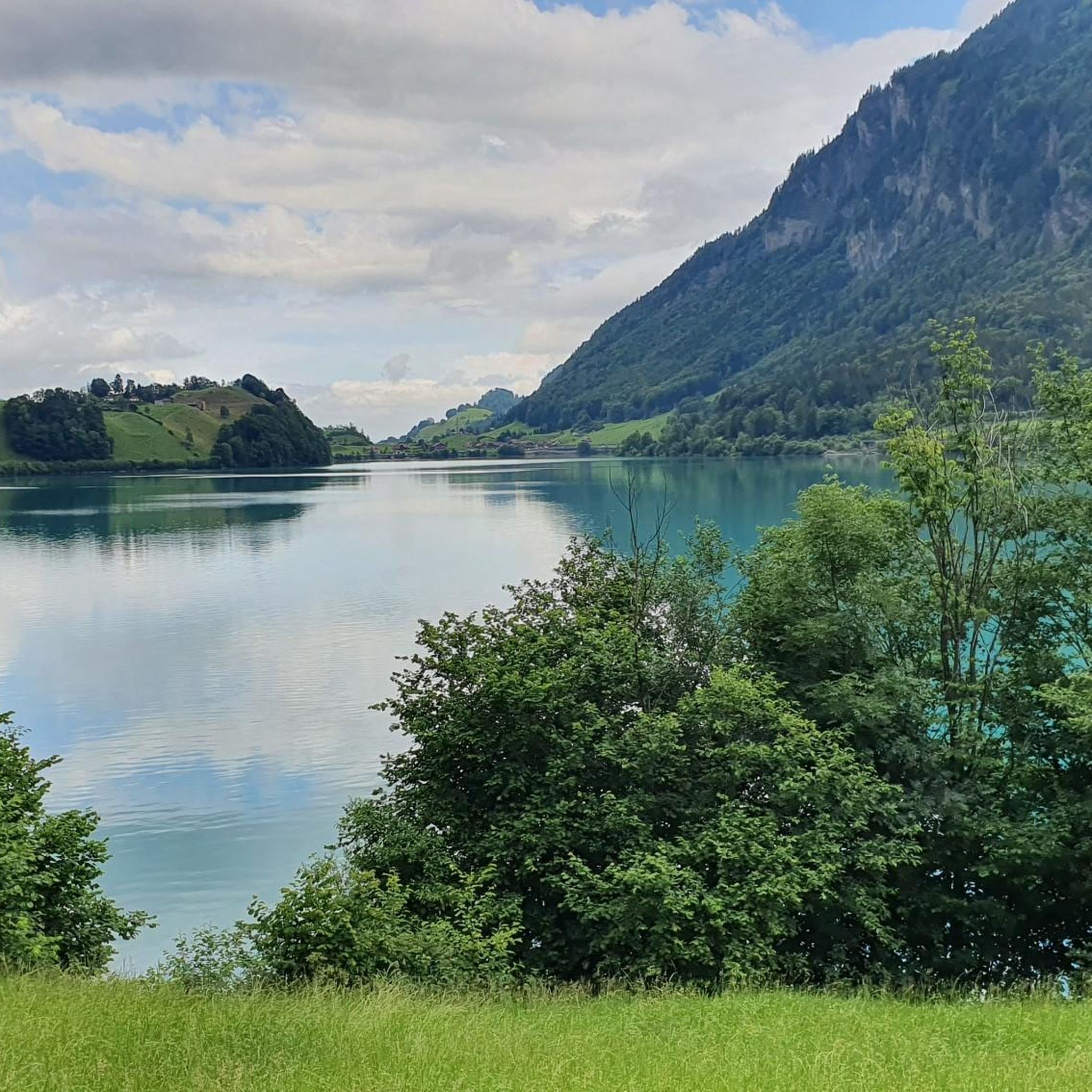
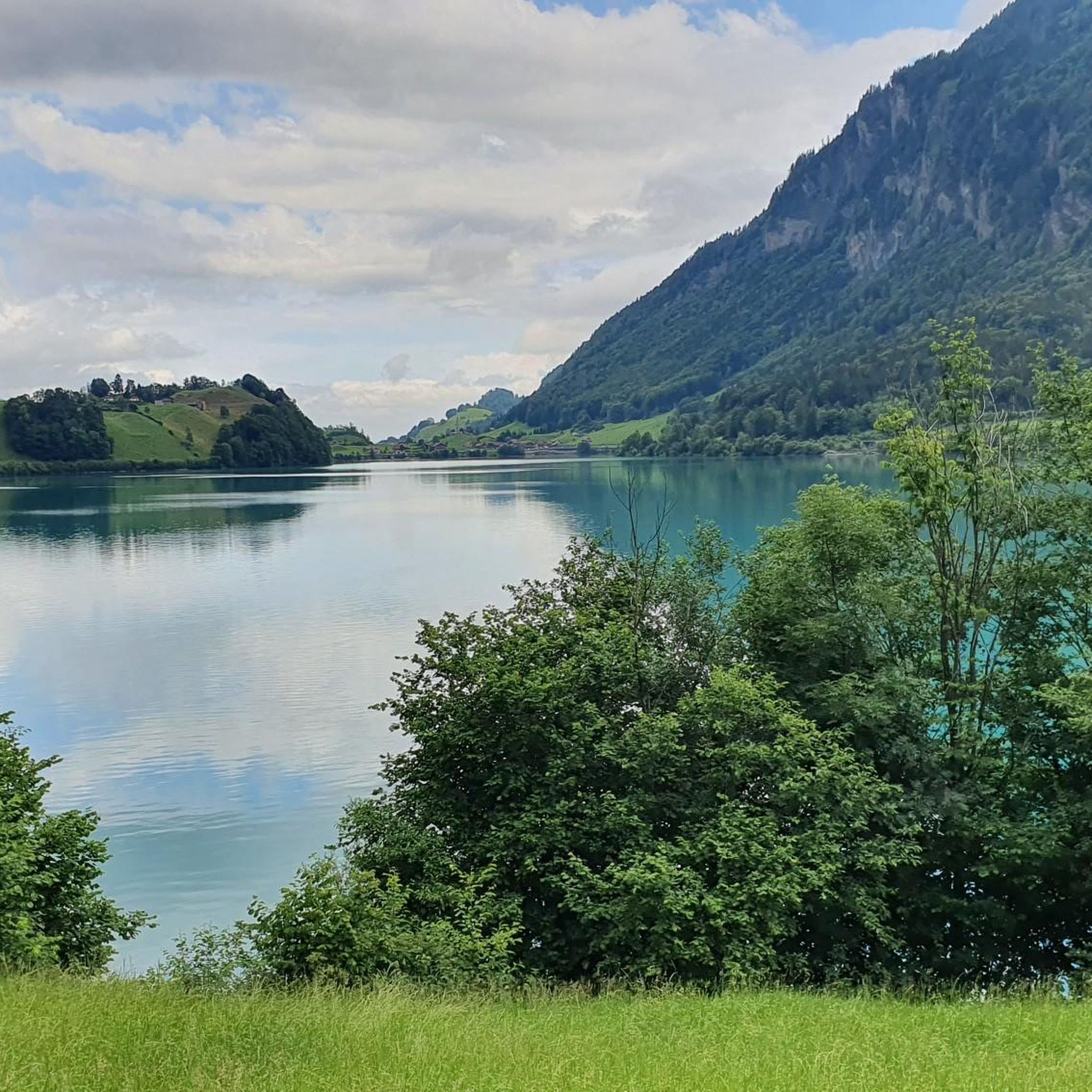
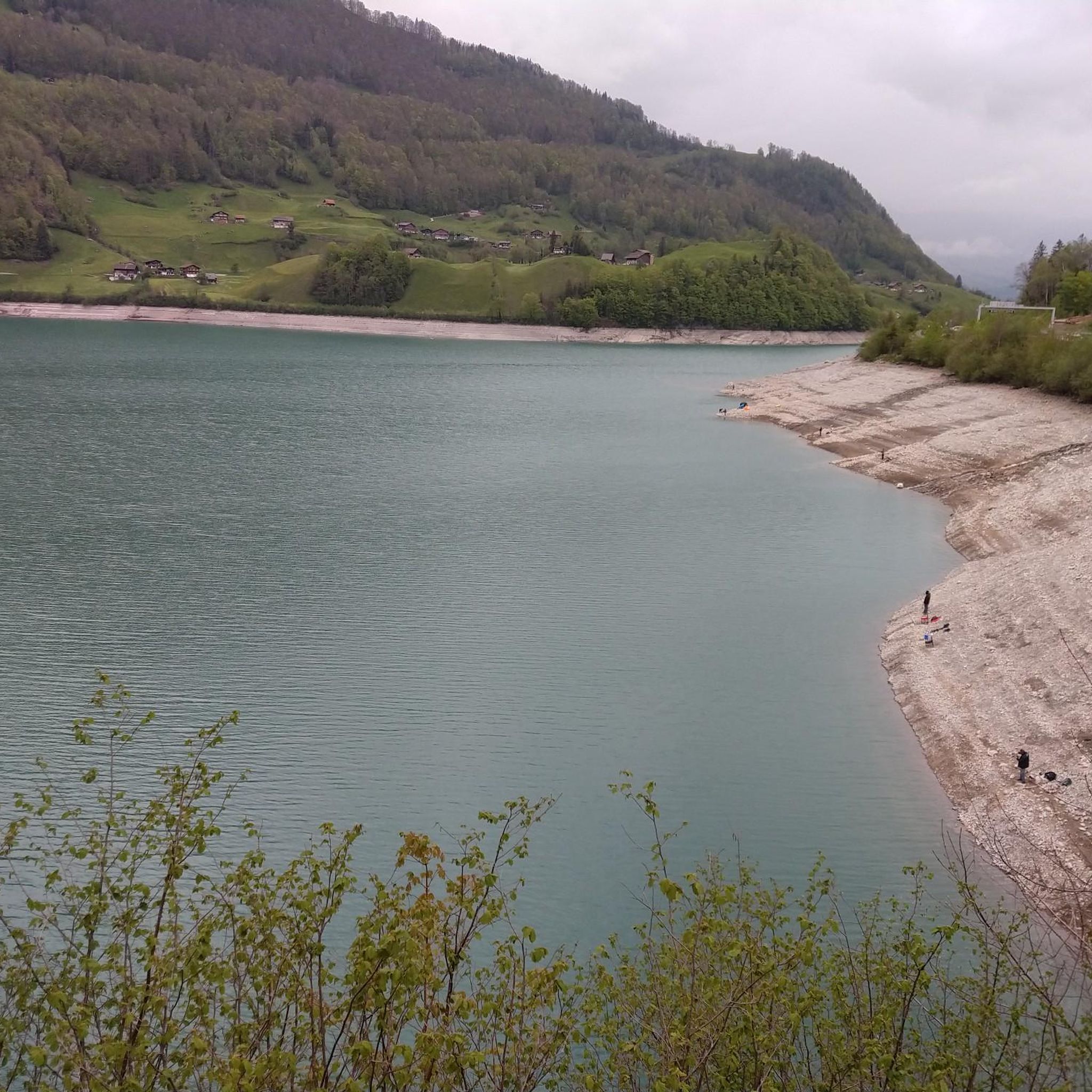

Other adventures around Lungerersee

Tips from the Community

Pretty little open chapel.
0
0
Narrow steep gravelly section, partly very exposed (T3) defective rope securing in autumn 2026. Beautiful view of Lake Brienz.
0
0


The Turrenbahn mountain station at 1,562 m is the perfect starting point for unforgettable adventures high above the turquoise-blue Lungerersee! 🚠✨ Whether you lace up your hiking boots or pack your MTB: Some of the region's most beautiful tours start from here, such as the panoramic trail up to Schönbüel or the spectacular ridge hike towards Brienzer Rothorn 🥾🚲 For the necessary refreshment, the Turren restaurant right at the station offers a brilliant sun terrace 🧀☕ Pro tip: Definitely take the first cable car in the morning – the light over the lake is magical and you'll have the paths almost to yourself! 📸🌄
1
0

Usually 2 trips per hour https://turren.ch/bahn
14
1

Very nice in winter for a leisurely hike or snowshoe tour 👍
1
0

Nice stone sculpture with reference to the adjacent canton.
0
0
Fabulous views of Lake Brienz, Rothorn, the Bernese Alps and much more.
0
0
Frequently Asked Questions
What is the general difficulty level of mountaineering routes around Lungerersee?
Mountaineering routes around Lungerersee are predominantly challenging. Out of the 7 routes available, 4 are rated as difficult, and 3 are moderate. There are no easy routes for mountaineering in this specific selection, indicating a focus on more demanding alpine experiences.
Are there any circular mountaineering routes in the Lungerersee area?
Yes, several routes around Lungerersee are circular. For instance, the difficult Alp Breitenfeld – Turren Restaurant loop from Turren offers sustained climbs through alpine pastures. Another option is the Breitenfeld Alpine Chapel – Alp Breitenfeld loop from Turren, which features challenging ascents and high-alpine views.
What are some of the longer mountaineering routes available?
For those seeking a longer challenge, the Brienzer Rothorn Summit – Brienzer Rothorn loop from Rothornbahn is a difficult route spanning approximately 11.5 km and typically takes over 5 hours to complete. Another substantial option is the Alp Breitenfeld – Turren Restaurant loop from Turren, which is about 11.7 km long.
Are there any moderate mountaineering options for those looking for less extreme challenges?
Yes, while many routes are difficult, there are moderate options. The View of Haslital – Green alpine meadow with large rocks loop from Aareschlucht West is a moderate route covering about 8.8 km, offering beautiful views without the most extreme ascents.
What kind of views can I expect on these mountaineering routes?
The routes around Lungerersee offer stunning panoramic views over the lake and surrounding peaks. Many trails lead through alpine meadows and provide vistas of the high-alpine landscape. For example, the Schtucklichrüz Summit Cross – Alpine Wildflowers loop from Mülimäs offers varied mountain terrain and scenic points.
What is the best season for mountaineering around Lungerersee?
The best season for mountaineering around Lungerersee is typically from late spring to early autumn (June to September). During these months, the trails are generally free of snow, and the weather conditions are more stable, offering clearer views and safer passage. Always check local weather forecasts and trail conditions before heading out.
What should I wear and bring for mountaineering in this region?
Given the challenging terrain and significant elevation changes, it's crucial to wear sturdy, waterproof hiking boots with good ankle support. Layered clothing is recommended to adapt to changing mountain weather, including a waterproof and windproof outer shell. Always carry sufficient water, snacks, a map or GPS device, sun protection, and a first-aid kit. Trekking poles can also be very helpful on steep sections.
Are there any interesting landmarks or attractions near the mountaineering routes?
Yes, the region offers several points of interest. You can explore the beautiful Lake Lungern itself, or visit the Surriacher Weather Station. There's also a Picnic area by the lake for a relaxing break.
What do other mountaineers say about the routes in Lungerersee?
The mountaineering routes in Lungerersee are highly regarded by the komoot community, with an average rating of 4.6 stars from around 10 reviews. Users often praise the challenging ascents, the diverse mountain terrain, and the rewarding panoramic views over the lake and surrounding peaks.
Is public transport available to reach the trailheads?
The Lungerersee region is generally well-connected by public transport in Switzerland. Many trailheads are accessible via train or bus services, often requiring a short walk from the nearest station or stop. It's advisable to check the local public transport schedules (e.g., SBB website) for specific routes and connections to your chosen trailhead.
Are there any specific considerations for winter mountaineering around Lungerersee?
Winter mountaineering in the Lungerersee area requires significant experience and specialized equipment. Many routes become impassable due to deep snow, ice, and increased avalanche risk. It's essential to consult local alpine conditions, avalanche forecasts, and consider hiring a certified mountain guide if attempting winter ascents. Some lower-elevation trails might be suitable for snowshoeing, but high-alpine mountaineering is generally not recommended for the average hiker in winter.
Most popular routes around Lungerersee
Most popular attractions around Lungerersee

Get inspired with the komoot mobile app


Explore more
Browse the best Mountain Hikes & Routes in other regions.
