The best gravel rides around Embalse del Atazar
4.8
(3)
98
riders
17
rides
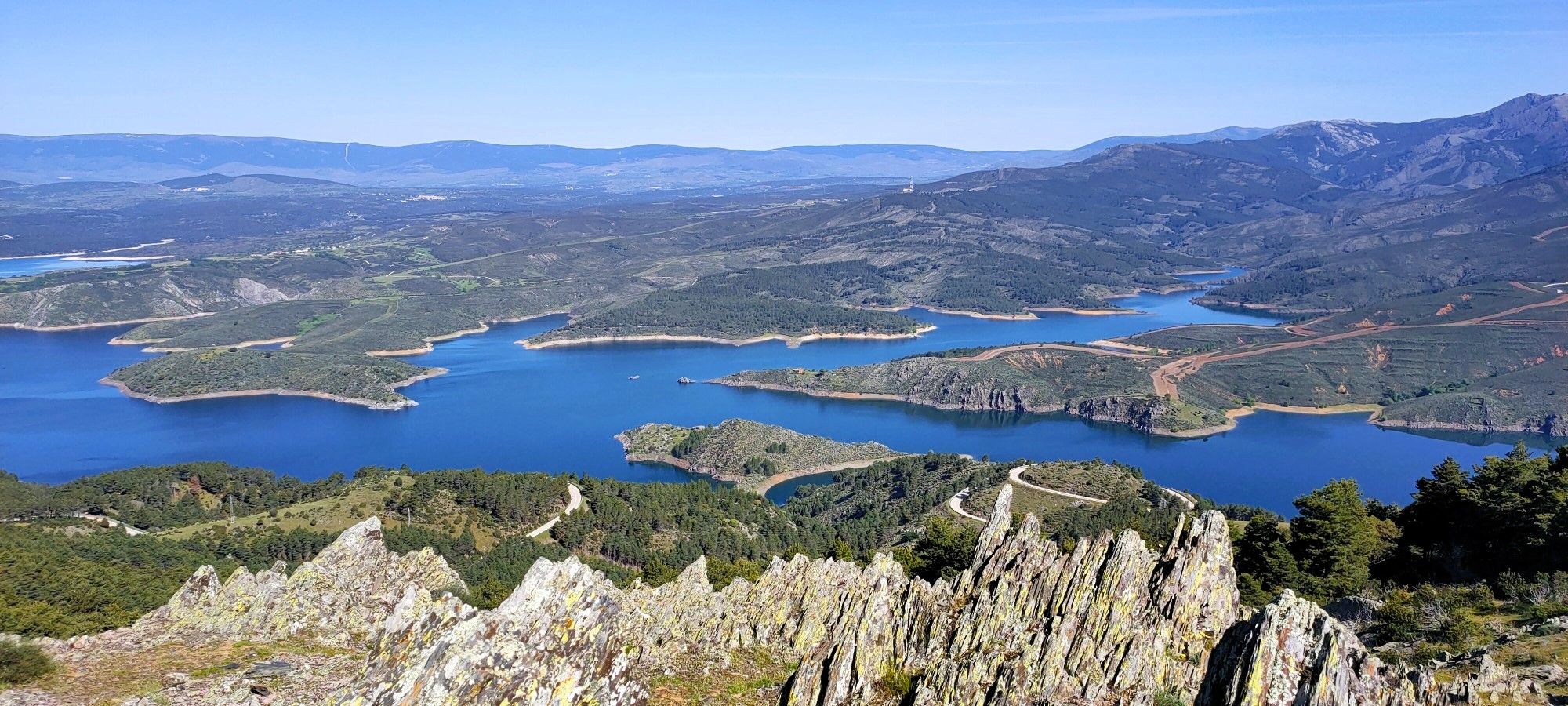
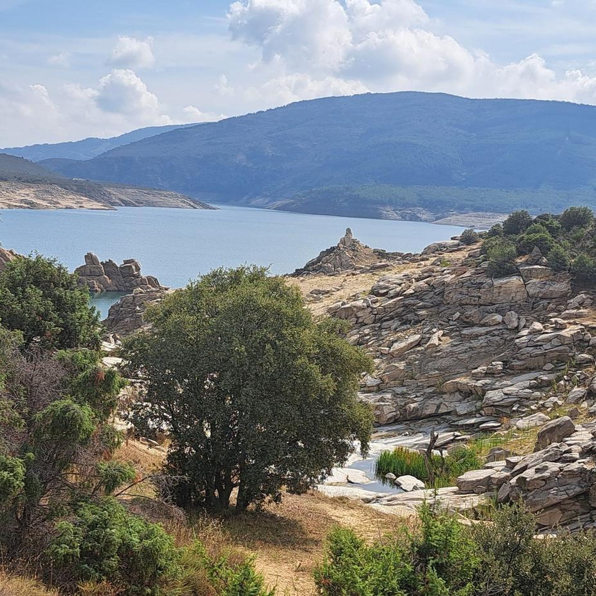
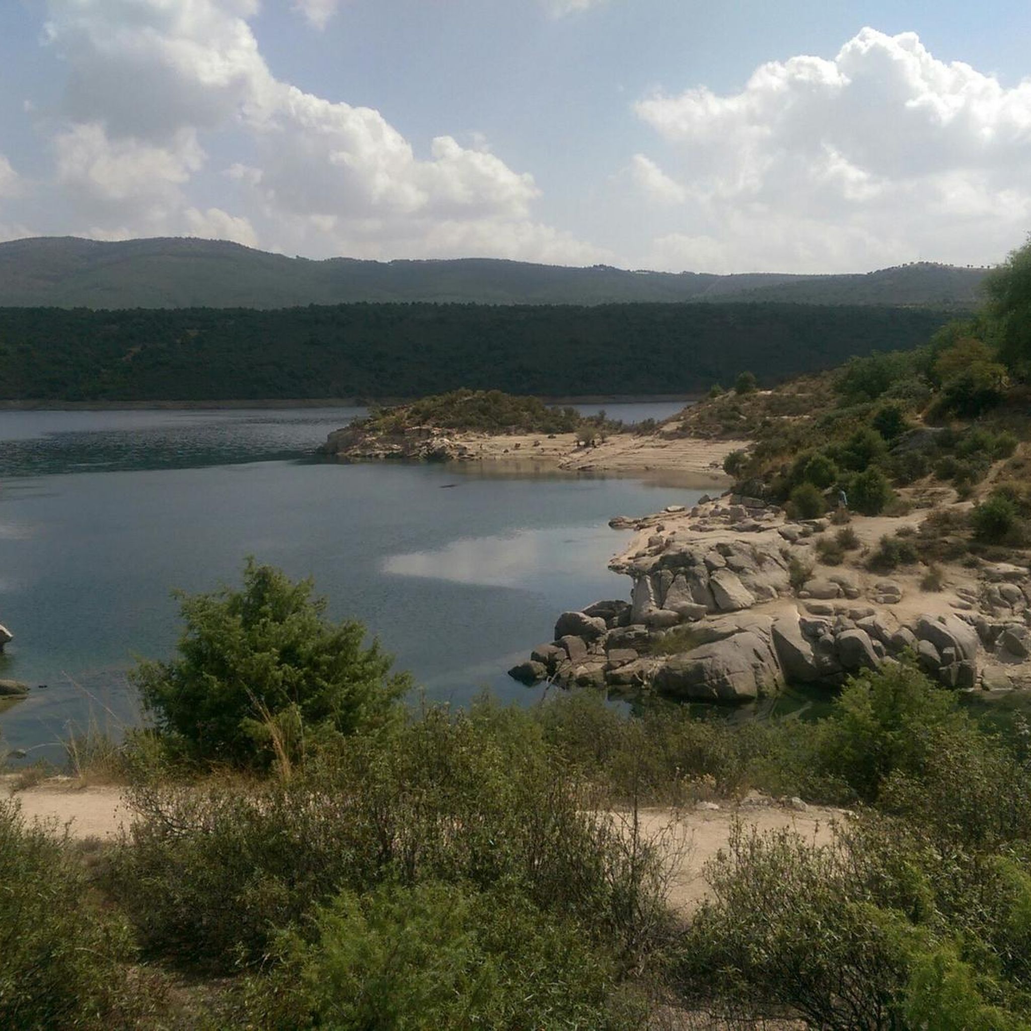
Gravel biking around Embalse del Atazar features a landscape dominated by the large reservoir and its surrounding river valleys and gorges. The terrain includes varied surfaces, from unpaved roads to more technical sections, often with significant elevation changes. The region is characterized by views of the reservoir, dams, and bridges, with routes frequently following the contours of the water bodies and adjacent hills.
Best gravel bike trails around Embalse del Atazar
- The most popular gravel bike trail is El Berrueco…
Last updated: May 11, 2026
9
riders
42.8km
03:02
830m
830m
Hard gravel ride. Very good fitness required. Mostly paved surfaces. Suitable for all skill levels.
7
riders
43.6km
03:37
570m
570m
Hard gravel ride. Very good fitness required. Mostly paved surfaces. Suitable for all skill levels.

Sign up for free
4
riders
48.6km
04:37
1,130m
1,130m
Hard gravel ride. Very good fitness required. Mostly paved surfaces. Suitable for all skill levels.
9
riders
80.3km
06:41
1,670m
1,670m
Hard gravel ride. Very good fitness required. Mostly paved surfaces. Suitable for all skill levels.
5.0
(1)
50
riders
81.0km
06:59
1,350m
1,350m
Hard gravel ride. Very good fitness required. Mostly paved surfaces. Suitable for all skill levels.
Get access to more routes and recommendations from other explorers.
Sign up for free
Already have an account?
Our route recommendations are based on thousands of hikes, rides, and runs completed by other people on komoot.
Start today with a free account
Your next adventure awaits.
Login or Signup
Other adventures around Embalse del Atazar

Tips from the Community

The Roman Bridge of Valdesotos, located near the hamlet of the same name in the Sierra Norte of Guadalajara, is actually of medieval origin, probably from the 12th century, with main use during the Middle Ages and converted as a passage to the Monastery of Bonaval.
3
0
The Castle and Walls of Buitrago del Lozoya, one of the most important medieval sites in the Community of Madrid: The town has pre-Roman roots and was mentioned by Livy as a Celtiberian fortress (Litabrum). Muslim Fortification: Between the 8th and 11th centuries, the Muslims built the wall to protect the territory. Reconquest: Alfonso VI conquered it in 1085, and it passed into Christian hands. Current Castle: Built in the 15th century by the Mendoza family, during the reign of John II of Castile. Historical Uses: Noble residence, defensive stronghold, and setting for events such as the imprisonment of Juana la Beltraneja.
3
0

Beautiful place and beautiful river, with water, as it was flowing today.
0
0

Beautiful walled town located in the mountains north of Madrid.
0
0
A beautiful stone bridge. The climb afterward is quite rocky, and you'll have to walk for a bit.
0
0
Stone bridge that crosses the Lozoya River near its passage through the Pinilla reservoir.
0
0

Congos Bridge over the Lozoya River, hearing the water flow, nothing more
0
0
Frequently Asked Questions
How many gravel bike trails are available around Embalse del Atazar?
There are over 20 gravel bike routes to explore around Embalse del Atazar, offering a variety of experiences for different skill levels.
Are there gravel bike trails for beginners or advanced riders in Embalse del Atazar?
The routes around Embalse del Atazar primarily cater to moderate and difficult ability levels, with 17 out of 20 routes being classified as difficult. While there are no easy routes, 3 routes are considered moderate, and the remaining 17 are challenging, providing ample options for experienced gravel bikers.
What kind of terrain can I expect on the gravel bike trails around Embalse del Atazar?
You can expect varied terrain, from unpaved roads to more technical sections, often with significant elevation changes. The routes frequently follow the contours of the reservoir, river valleys, and adjacent hills, offering diverse surfaces and scenic views.
What are some of the longest gravel bike routes in the Embalse del Atazar area?
For those seeking longer rides, the Matafrailes Bridge – View of Lozoya Reservoir loop from La Cabrera covers approximately 84 km. Another substantial option is the Pontón de la Oliva Dam – Roman Bridge of Valdesotos loop from Pontón de la Oliva, which is about 71.8 km long and leads through river valleys and past historical structures.
Are there any loop gravel trails around Embalse del Atazar?
Yes, many of the gravel routes in the area are designed as loops. For example, you can enjoy the El Berrueco – El Villar Reservoir and Gorge loop from El Berrueco, or the challenging Views of the Lozoya River – El Atazar Reservoir loop from Lozoyuela, both offering circular journeys.
What can I see along the gravel bike trails around Embalse del Atazar?
The trails offer stunning views of the large reservoir, dams, and bridges. You can also discover natural and historical landmarks such as the El Villar Reservoir and Gorge, the expansive El Atazar Reservoir, and the Roman Bridge of El Berrueco, which also features a waterfall.
What is the best season for gravel biking in Embalse del Atazar?
While specific data isn't provided, generally, spring and autumn offer the most pleasant conditions for gravel biking in this region, with milder temperatures and less extreme weather. Summers can be hot, and winters may bring colder temperatures, especially at higher elevations.
What do other gravel bikers enjoy most about the trails in Embalse del Atazar?
The komoot community highly rates the routes around Embalse del Atazar, with an average score of 4.8 stars. Riders often praise the extensive views of the reservoirs and rivers, the challenging climbs, and the diverse terrain that defines the area's gravel biking experience.
Are there any routes that offer extensive views of the Lozoya River?
Yes, the Views of the Lozoya River – El Atazar Reservoir loop from Lozoyuela is specifically known for providing extensive views of the Lozoya River and El Atazar Reservoir. Another option is the Views of the Lozoya River – El Villar Reservoir Dam loop from La Cabrera.
Where can I find parking for gravel biking near Embalse del Atazar?
Many routes start from villages or specific points around the reservoir, such as El Berrueco, Lozoyuela, Pontón de la Oliva, or La Cabrera. These locations typically offer public parking facilities suitable for accessing the trailheads.
Are there any historical structures along the gravel bike routes?
Yes, the Pontón de la Oliva Dam – Roman Bridge of Valdesotos loop from Pontón de la Oliva takes you past historical structures, including the Roman Bridge of Valdesotos. Additionally, the Roman Bridge of El Berrueco is a notable landmark you might encounter.
Most popular routes around Embalse del Atazar
Most popular attractions around Embalse del Atazar

Get inspired with the komoot mobile app


Explore more
Browse the best Gravel rides in other regions.
