The best MTB trails around Embalse del Atazar
4.3
(187)
1,893
riders
147
rides
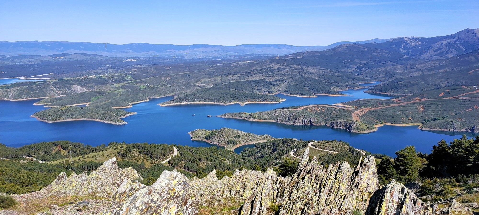
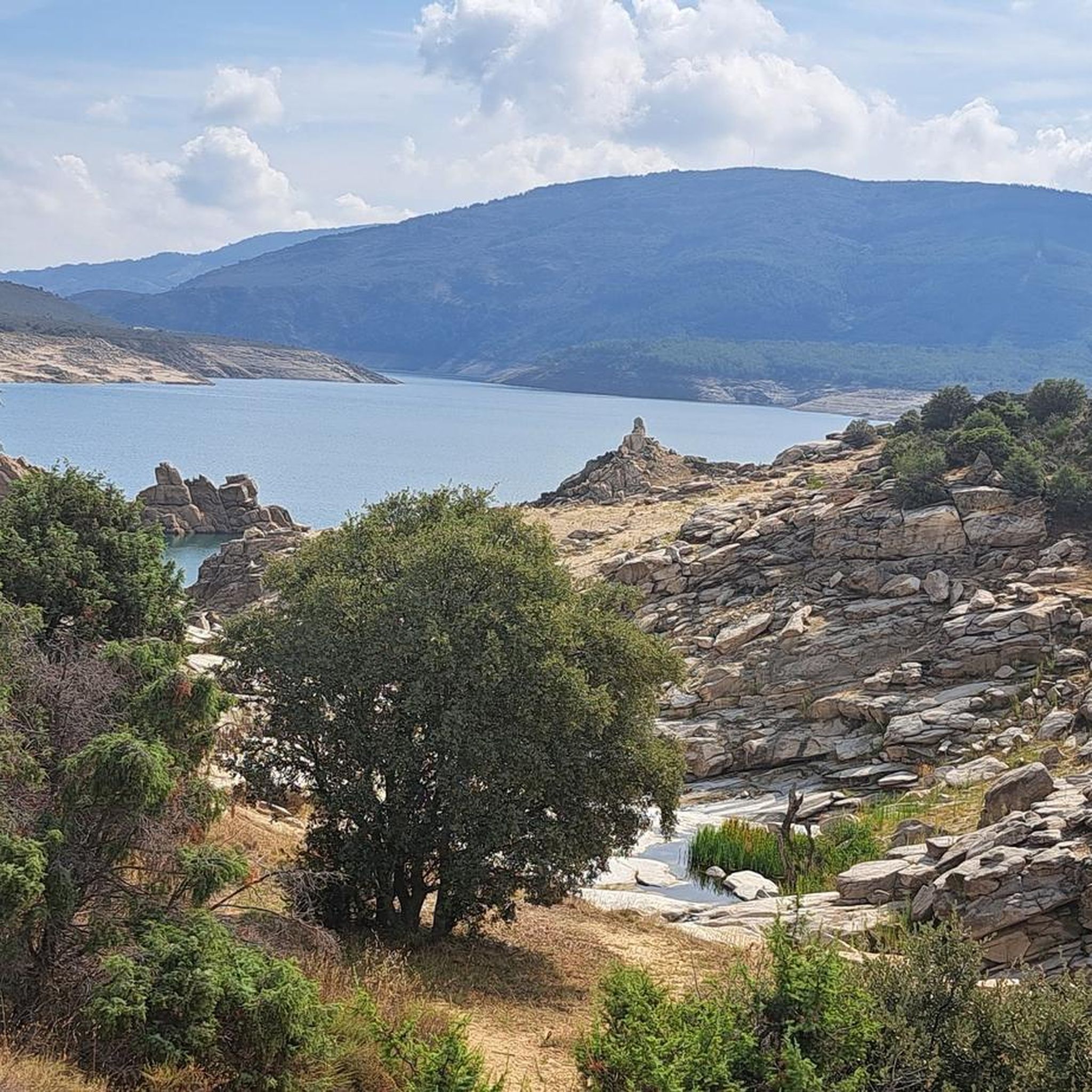
Mountain biking around Embalse del Atazar offers diverse terrain within the Community of Madrid's largest reservoir area. The region features rugged, slate-filled landscapes and mountainous topography, providing varied challenges for riders. Trails often follow old paths connecting villages and modern agricultural tracks, with some sections including technical variants with rocks. The area is characterized by expansive water views from the reservoir and surrounding northern mountains.
Best mountain bike trails around Embalse del Atazar
- The most popular mountain bike trail is…
Last updated: August 11, 2026
5.0
(4)
98
riders
52.5km
05:32
1,460m
1,460m
Hard mountain bike ride. Very good fitness required. Suitable for all skill levels.
17
riders
28.2km
02:30
440m
440m
Moderate mountain bike ride. Good fitness required. Suitable for all skill levels.

Sign up for free
5.0
(2)
13
riders
16.8km
01:26
180m
180m
Easy mountain bike ride. Great for any fitness level. Suitable for all skill levels.
10
riders
33.2km
03:08
670m
670m
Moderate mountain bike ride. Good fitness required. Suitable for all skill levels.
3.0
(1)
15
riders
24.1km
02:04
300m
300m
Moderate mountain bike ride. Good fitness required. Suitable for all skill levels.
Get access to more routes and recommendations from other explorers.
Sign up for free
Already have an account?
Our route recommendations are based on thousands of hikes, rides, and runs completed by other people on komoot.
Start today with a free account
Your next adventure awaits.
Login or Signup

Other adventures around Embalse del Atazar

Tips from the Community

A very pleasant pass to climb up the Puebla de la Sierra side. To do this, you have to access it from Robledillo, with very steep ramps to warm up, and a few kilometers on a narrow and bumpy road. The views and the route are totally worth it. Avoid weekends, especially busy hours, as motorcycles, and especially cars, can spoil the party a bit, as I say, the road is very narrow. There is a fountain at the lowest point between Robledillo and Puebla, and another one when leaving Puebla de la Sierra. They are the only two points where you will be able to fill your bottles "for free".
0
0

Panoramic loop through the Sierra del Rincón
0
0

Beautiful views of the Lozoya reservoir
0
0

Although you go up by road, it is a very nice climb with relatively little traffic, other than the motorcycles that are going to enjoy the curves. We, on the other hand, will twist with each curve in which the slope increases. Harder than the numbers say
1
0
The Collado de la Fragüela is a hill that can be reached by the M-130 as soon as you leave Robledillo de la Jara towards Puebla de la Sierra and at the top we will find a large antenna.
0
0

A beautiful town in a privileged location, between the Lozoya River Reservoir that bears the name of El Atazar, and the Sierra Norte of Madrid and Guadalajara. The surrounding landscape is extraordinary.
1
0

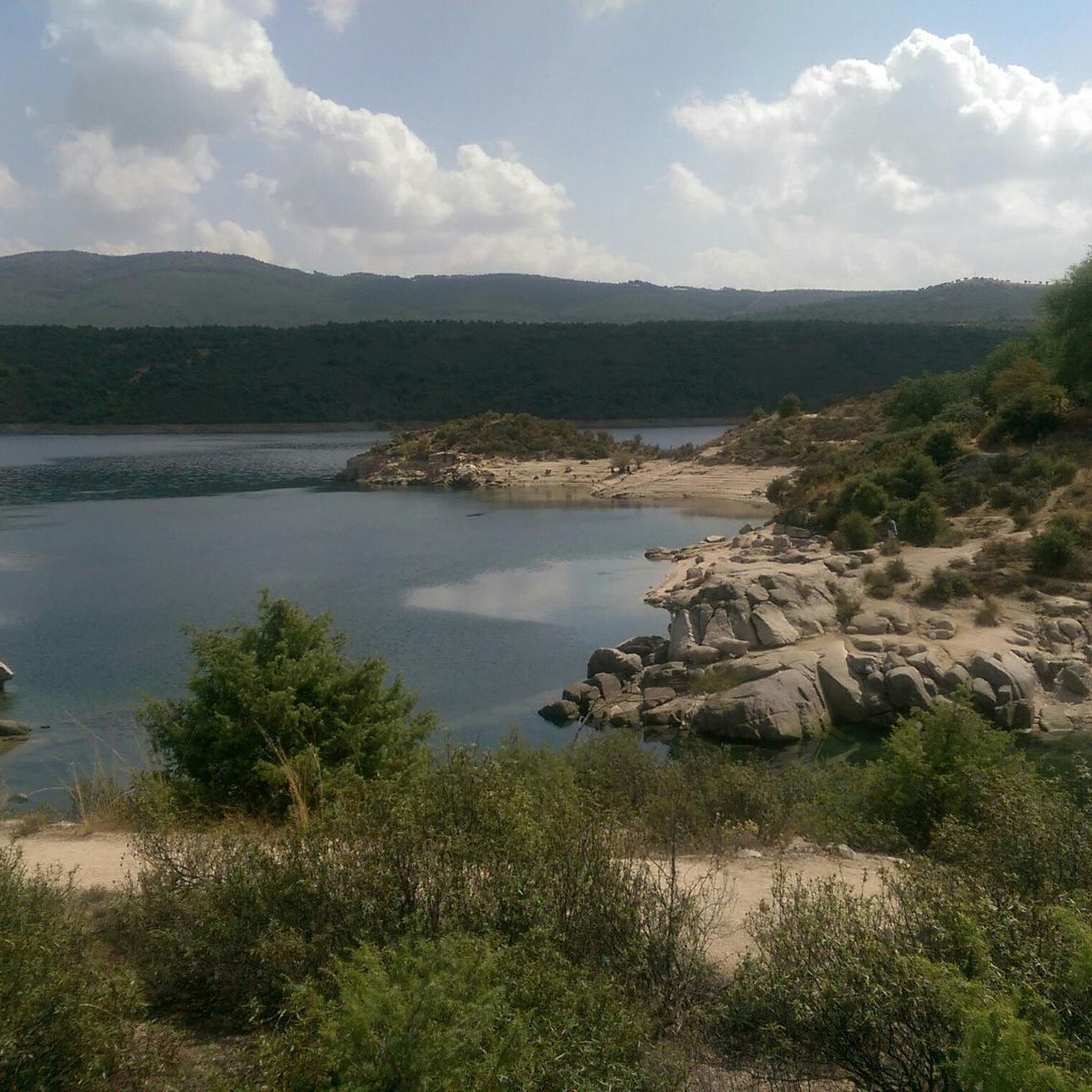
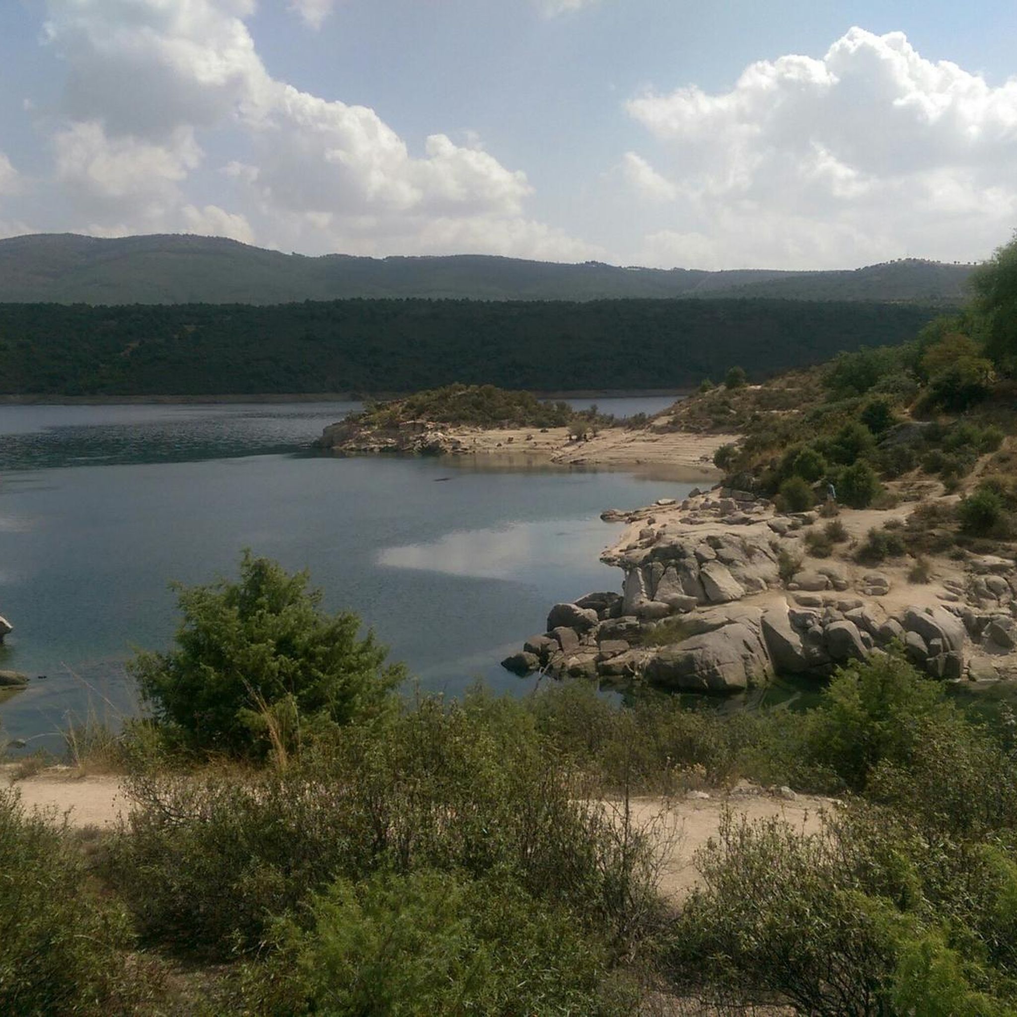
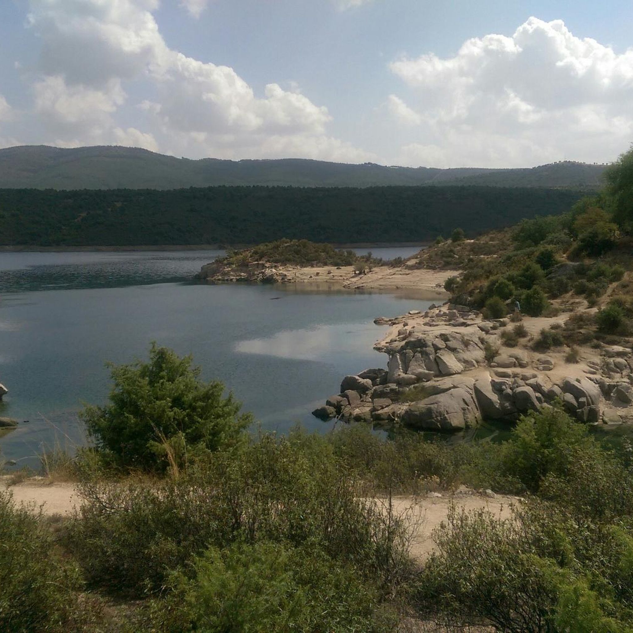
Built in 1972 and belonging to the Isabel II canal, the El Atazar reservoir is the largest in Madrid, housing 46% of the community's impounded water. Located in a rugged enclave full of slate, the landscape that surrounds the reservoir and that is born from its waters is spectacular, giving way to monumental natural routes and walks through its surrounding historic towns.
1
0
Built in 1972 and belonging to the Isabel II canal, the El Atazar reservoir is the largest in Madrid, representing 46% of the community's embalmed water. Located in a rugged enclave full of slate, the landscape that surrounds the reservoir and that is born from its waters is spectacular, giving way to monumental natural routes and walks through its surrounding historical towns.
1
0
Frequently Asked Questions
How many mountain bike trails are available around Embalse del Atazar?
There are over 130 mountain bike trails around Embalse del Atazar, offering a wide range of options for different skill levels. The komoot community has explored over 1600 of these routes.
What kind of terrain can I expect on mountain bike trails in this region?
The terrain around Embalse del Atazar is rugged and mountainous, characterized by slate formations. Trails often follow old village paths and modern agricultural tracks, with some sections including technical variants with rocks and narrow paths. You'll encounter varied topography and expansive water views from the reservoir.
Are there mountain bike trails suitable for beginners or families?
Yes, Embalse del Atazar offers trails suitable for beginners and families. There are 14 easy routes available. For example, the El Berrueco – El Atazar Reservoir loop from El Berrueco is an easy 10.4-mile (16.8 km) trail that follows the reservoir's edge.
What are some challenging mountain bike routes for experienced riders?
Experienced riders looking for a challenge will find several difficult routes. The View of the La Puebla River – Cerro Cabeza del Estillo loop from El Atazar is a difficult 31.9-mile (51.3 km) path with significant elevation gain. Another demanding option is the Matafrailes Bridge – El Berrueco loop from El Berrueco, which spans 77.6 km with over 1200m of ascent.
What natural features or landmarks can I see along the mountain bike trails?
The trails often provide continuous views of the vast Embalse del Atazar reservoir itself. You can also encounter other significant reservoirs like El Villar, and enjoy Views of the Lozoya River and View of the La Puebla River. Historic towns like Patones de Arriba, known for its unique slate architecture, are also nearby.
Are there any waterfalls accessible from the mountain bike trails?
Yes, you can find the Roman Bridge of El Berrueco and Waterfall, which is a notable highlight in the area. Some routes may pass near or offer views of this natural feature.
What do other mountain bikers enjoy most about mountain biking in Embalse del Atazar?
The area is highly rated by the komoot community, with an average score of 4.3 stars from over 100 reviews. Reviewers often praise the diverse terrain, continuous views of the reservoir, and the variety of routes available for different ability levels.
Are there any circular mountain bike routes around Embalse del Atazar?
Many of the mountain bike routes in the area are circular. For instance, the Pinar de Casasola – Pinar de la Casasola loop from Cervera de Buitrago is a popular moderate 19.1-mile (30.8 km) loop offering continuous reservoir views. Another is the El Berrueco Watchtower – El Berrueco loop from El Berrueco, a moderate 33.2 km route.
What is the best time of year to go mountain biking in Embalse del Atazar?
The region's climate generally allows for mountain biking throughout much of the year. Spring and autumn offer pleasant temperatures and vibrant scenery. Summers can be hot, so early morning or late afternoon rides are advisable, while winters are generally mild but can have cooler temperatures.
Are there options for food and drink near the mountain bike trails?
Yes, many routes pass through or near charming historic towns and villages, such as Patones de Arriba and El Atazar. These villages often offer opportunities for breaks, where you can find cafes, restaurants, and other amenities.
Is public transport available to reach the mountain bike trailheads?
While specific public transport details vary, the region is part of the Community of Madrid, and some villages around the reservoir may be accessible by bus routes from Madrid. It's advisable to check local bus schedules for connections to towns like El Atazar or El Berrueco, which serve as common starting points for trails.
Most popular routes around Embalse del Atazar
Most popular attractions around Embalse del Atazar

Get inspired with the komoot mobile app


Explore more
Browse the best MTB trails in other regions.
