The best gravel rides around Rolavská vrchoviště
4.7
(34)
200
riders
20
rides
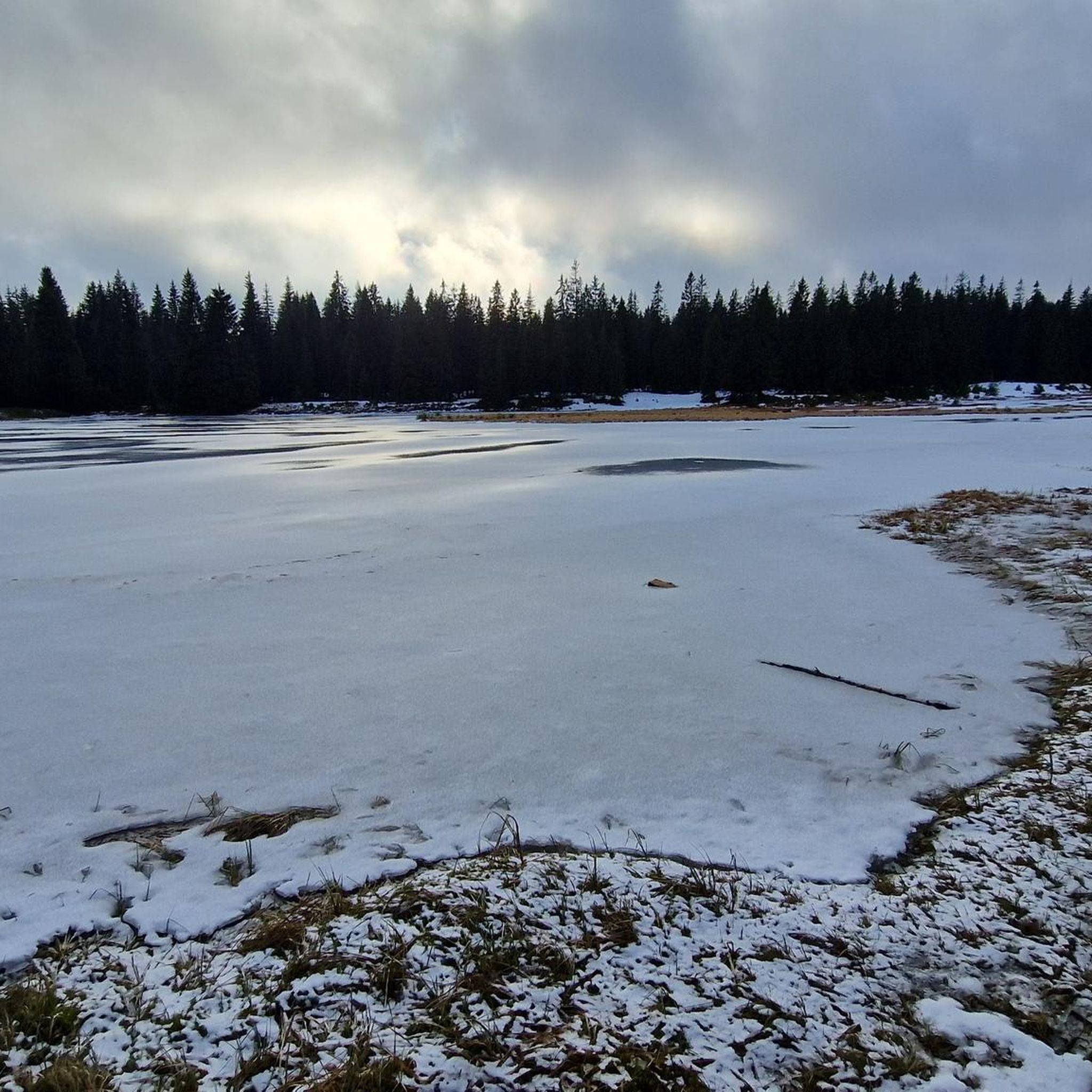
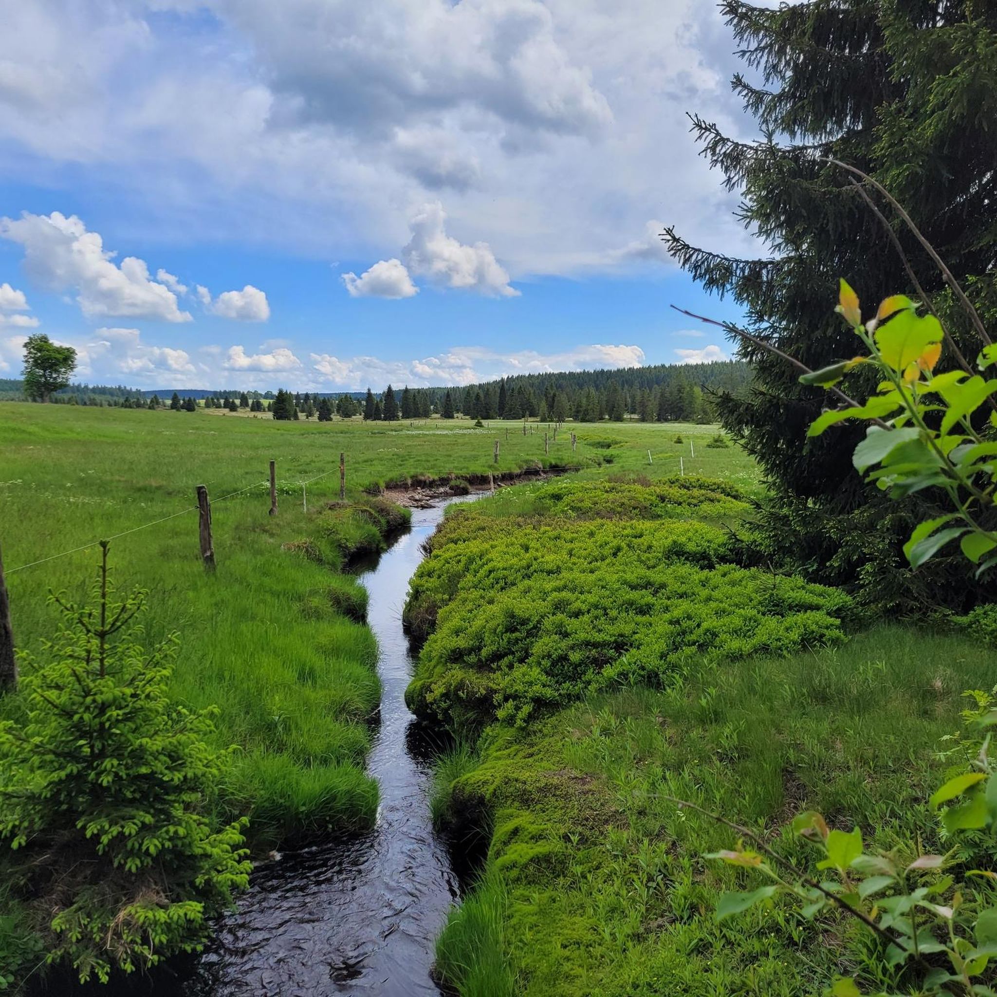
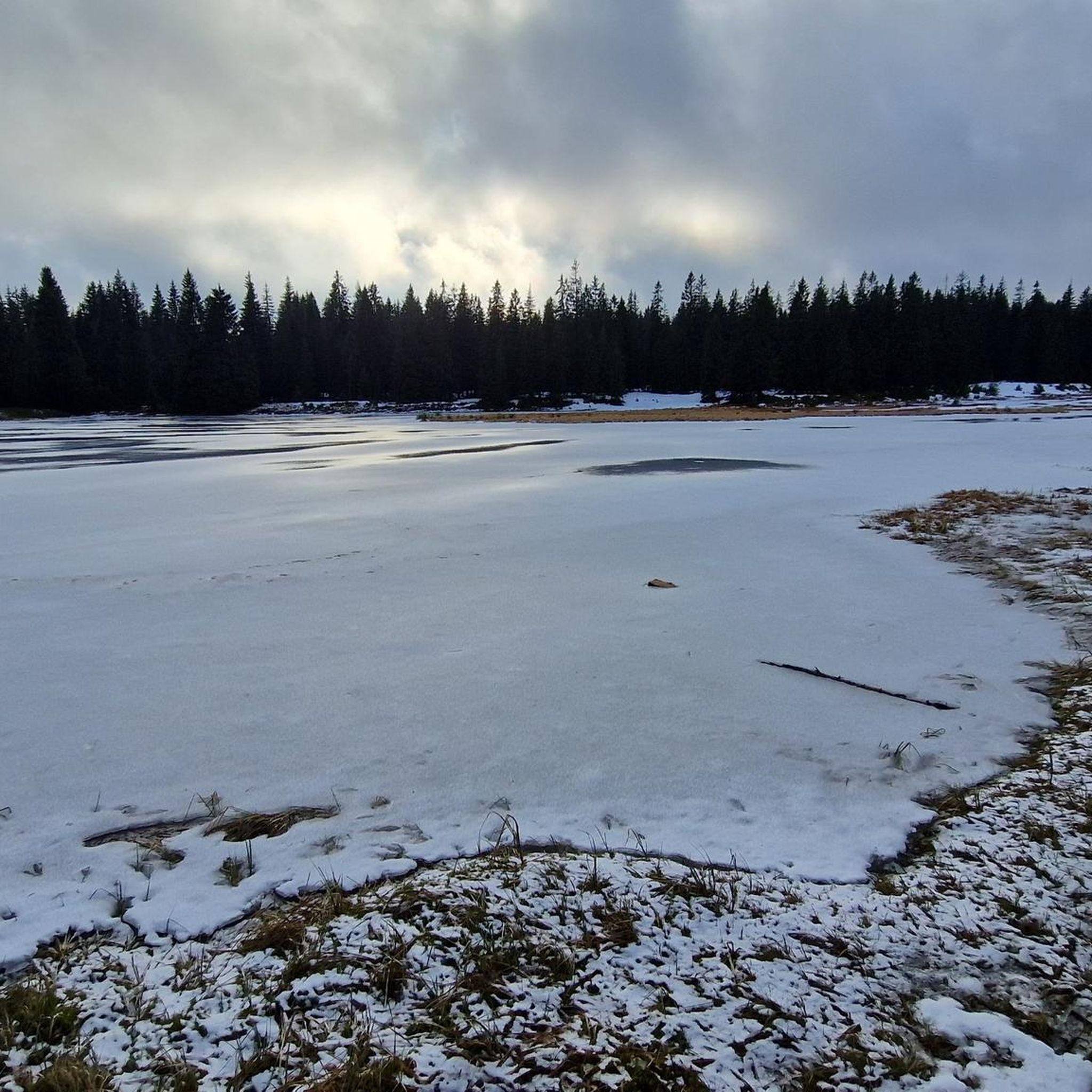
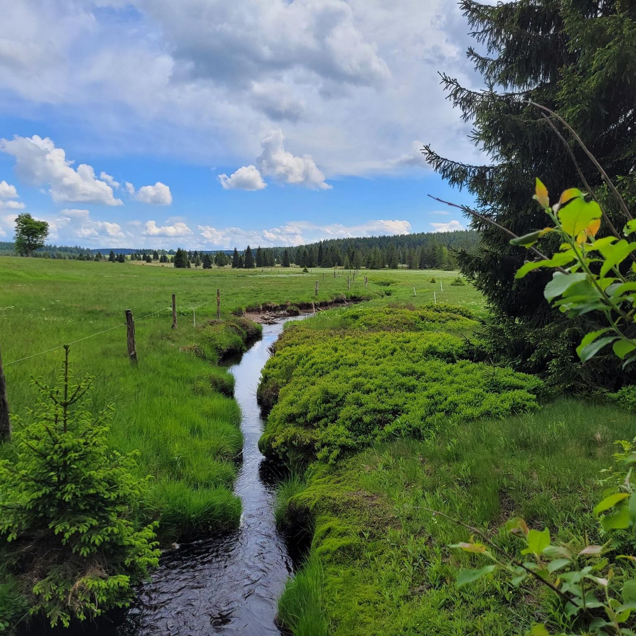
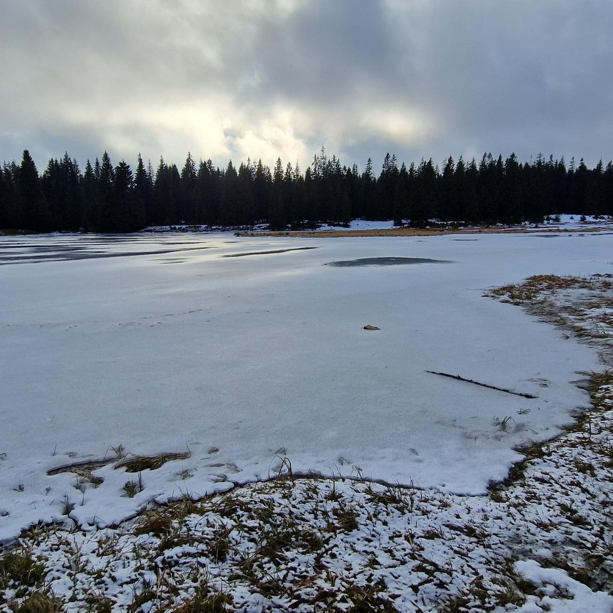
Gravel biking around Rolavská vrchoviště offers routes through a unique landscape characterized by extensive mountain peat bogs and waterlogged spruce forests, situated at an altitude of 880–950 meters. The region, a National Nature Reserve, features rolling terrain with varied forest paths and paved forest roads where car access is restricted. This provides a serene riding experience, with the area also serving as the source of the Rolava River.
Best gravel bike trails around Rolavská vrchoviště
- The most popular gravel bike…
Last updated: July 16, 2026
4.4
(13)
43
riders
Hard gravel ride. Very good fitness required. Mostly paved surfaces. Suitable for all skill levels.
5.0
(1)
10
riders
25.8km
01:30
340m
340m
Moderate gravel ride. Good fitness required. Mostly paved surfaces. Suitable for all skill levels.

Sign up for free
4.5
(2)
13
riders
Hard gravel ride. Very good fitness required. Mostly paved surfaces. Suitable for all skill levels.
10
riders
Moderate gravel ride. Good fitness required. Mostly paved surfaces. Suitable for all skill levels.
4.4
(11)
55
riders
35.2km
02:02
450m
450m
Hard gravel ride. Very good fitness required. Mostly paved surfaces. Suitable for all skill levels.
Get access to more routes and recommendations from other explorers.
Sign up for free
Already have an account?
Our route recommendations are based on thousands of hikes, rides, and runs completed by other people on komoot.
Start today with a free account
Your next adventure awaits.
Login or Signup
Tips from the Community

well-developed and also flat cycle path.
0
0

A completely remote and beautiful plateau away from the Ore Mountains. A great rest stop with a good selection of drinks and Czech food.
1
0


Always happy, good food + Urquell on tap
0
0

Very good to eat something and drink a beer or something else very nice
0
0
Hello it was a very nice bike tour with friends
0
0

Frequently Asked Questions
How many gravel bike trails are available in Rolavská vrchoviště?
There are 28 gravel bike routes available in the Rolavská vrchoviště region, offering a diverse range of experiences through its unique landscape. These routes are highly rated by the komoot community, with an average score of 4.6 stars from over 40 reviews.
What is the typical terrain like for gravel biking in Rolavská vrchoviště?
The terrain in Rolavská vrchoviště is characterized by rolling landscapes, extensive mountain peat bogs, and waterlogged spruce forests. You'll find varied forest paths and paved forest roads, many of which restrict car access, ensuring a serene riding experience. The area is situated at an altitude of 880–950 meters, providing moderate elevation gains suitable for various skill levels.
Are there routes suitable for beginners or families?
While the region features 6 moderate and 22 difficult routes, the rolling terrain and car-free forest roads make it accessible for various skill levels. For a moderate option, consider the Vřesoviště Natural Monument – Rolava Post Office loop from Carlsfeld, which is 16.1 miles (26.0 km) long and winds through the distinctive peat bog landscape.
What is the best season for gravel biking in this region?
The best season for gravel biking in Rolavská vrchoviště is typically from spring through autumn. During these months, the weather is generally more favorable, and the unique natural features like the peat bogs and forests are at their most vibrant. Winter riding is possible but may involve snow and ice, requiring appropriate gear and caution.
Are there any loop routes for gravel biking?
Yes, many of the gravel bike trails in Rolavská vrchoviště are loop routes, allowing you to start and end at the same point. Examples include the Zwickauer Mulde River Trail – Weir on the Schwarzwasser loop from Carlsfeld, a challenging 35.7 miles (57.5 km) ride, and the Muldenberg Reservoir – Carlsfeld Dam loop from Carlsfeld, which is 32.2 miles (51.9 km) long.
What natural landmarks can I see while gravel biking in Rolavská vrchoviště?
The region is rich in natural landmarks. You can explore the Rolavská Vrchoviště Raised Bog, which is the source of the Rolava River, or visit the Rolava Peat Bog and Reservoir. The Vřesoviště Natural Monument is another significant natural feature, known for its unique moorland environment.
Are there any historical sites along the gravel bike routes?
Yes, Rolavská vrchoviště offers poignant historical sites. A notable attraction is the Ruins of the Rolava tin mine and POW camp, which provides a glimpse into the region's mining past and its role during World War II. You can also find remnants of historical settlements like Rolava and Jelení.
Is parking available for cyclists in Rolavská vrchoviště?
While specific parking areas for cyclists are not detailed, the starting points for many routes, such as those from Carlsfeld or Oberjugel, typically offer parking options. Given the area's popularity for outdoor activities, you can generally find suitable parking near trailheads or in nearby villages.
Can I reach Rolavská vrchoviště by public transport?
Public transport options to Rolavská vrchoviště or nearby villages like Přebuz or Bublava may be limited, especially for carrying bikes. It's advisable to check local bus schedules or regional train services in advance if you plan to rely on public transport for access to the trailheads.
Are there places to eat or stay near the gravel bike trails?
While the immediate nature reserve is remote, nearby towns and villages such as Carlsfeld, Přebuz, or Bublava offer various amenities including cafes, pubs, and accommodation options. These places serve as good starting points or rest stops for your gravel biking adventures.
Are dogs allowed on the gravel bike trails?
As Rolavská vrchoviště is a National Nature Reserve, access is legally restricted to approved tourist trails. Generally, dogs are permitted on trails if kept on a leash, but it's always best to check specific local regulations for protected areas to ensure compliance and respect for wildlife.
What do other gravel bikers say about the trails in Rolavská vrchoviště?
The gravel bike trails in Rolavská vrchoviště are highly regarded by the komoot community, with an average rating of 4.6 out of 5 stars from over 40 reviews. More than 200 gravel bikers have used komoot to explore the region, often praising the unique natural beauty of the peat bogs, the serene car-free roads, and the blend of natural and historical attractions.
Most popular routes around Rolavská vrchoviště
Most popular attractions around Rolavská vrchoviště

Get inspired with the komoot mobile app


