The best gravel rides around Viernau
4.1
(25)
140
riders
28
rides
Gravel biking around Viernau offers a diverse landscape within the Thuringian Forest, characterized by extensive networks of well-maintained gravel roads and natural paths. The region provides varied terrain, including segments of the Rennsteig Cycle Path, suitable for different fitness levels. These routes traverse forested areas and open landscapes, providing a mix of challenging climbs and scenic stretches.
Best gravel bike trails around Viernau
- The most popular gravel bike trail is Wallbach Valley – Werratal Cycle Path loop from Schmalkalden-Fachhochschule,…
Last updated: October 6, 2026
3.0
(2)
25
riders
Moderate gravel ride. Good fitness required. Mostly paved surfaces. Suitable for all skill levels.
4.6
(5)
19
riders
Moderate gravel ride. Good fitness required. Mostly paved surfaces. Suitable for all skill levels.

5.0
(4)
18
riders
Moderate gravel ride. Good fitness required. Mostly paved surfaces. Suitable for all skill levels.
5
riders
Hard gravel ride. Very good fitness required. Mostly paved surfaces. Suitable for all skill levels.
4.0
(2)
7
riders
30.4km
01:53
430m
420m
Moderate gravel ride. Good fitness required. Mostly paved surfaces. Suitable for all skill levels.
Get access to more routes and recommendations from other explorers.
Already have an account?
Our route recommendations are based on thousands of hikes, rides, and runs completed by other people on komoot.
Start today with a free account
Your next adventure awaits.
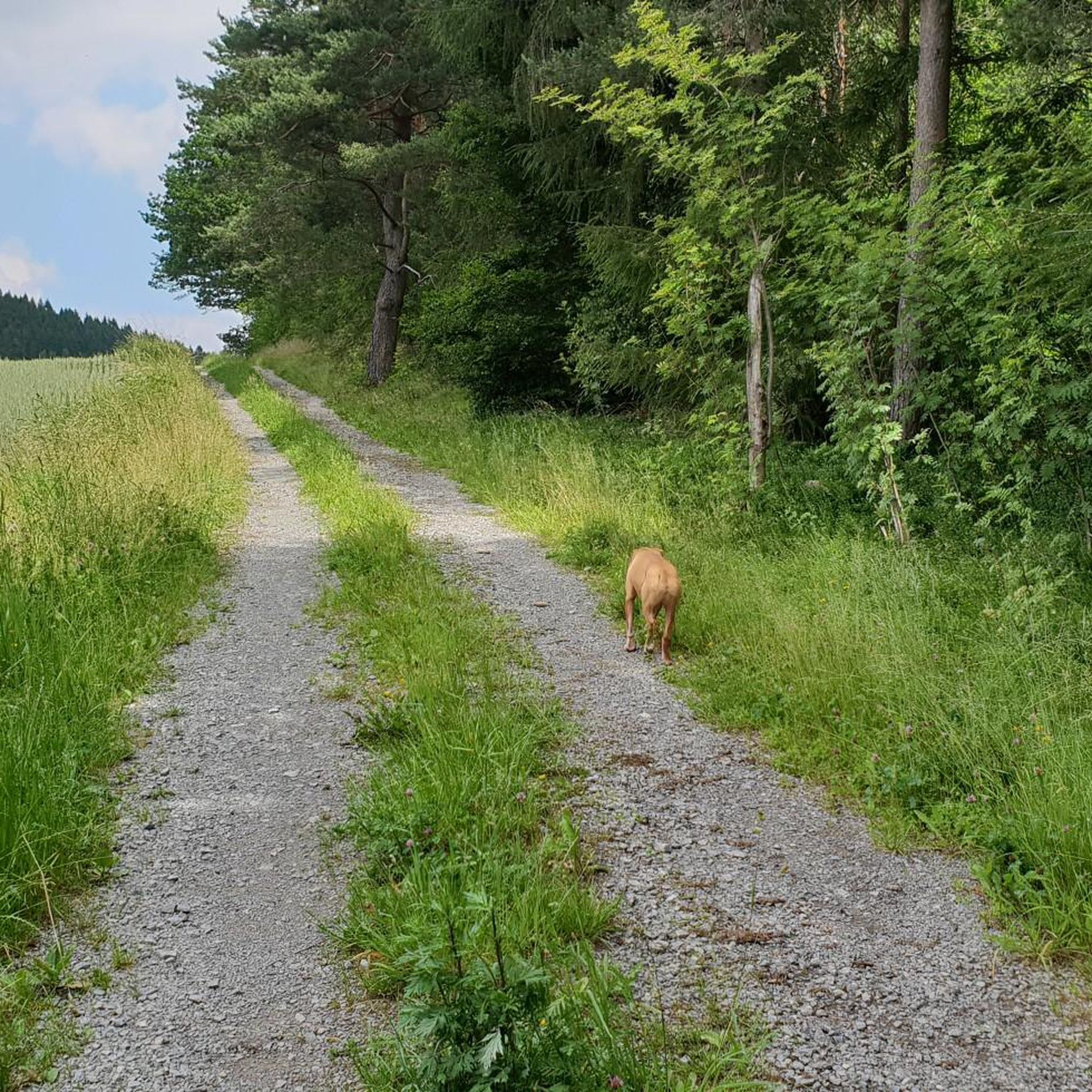
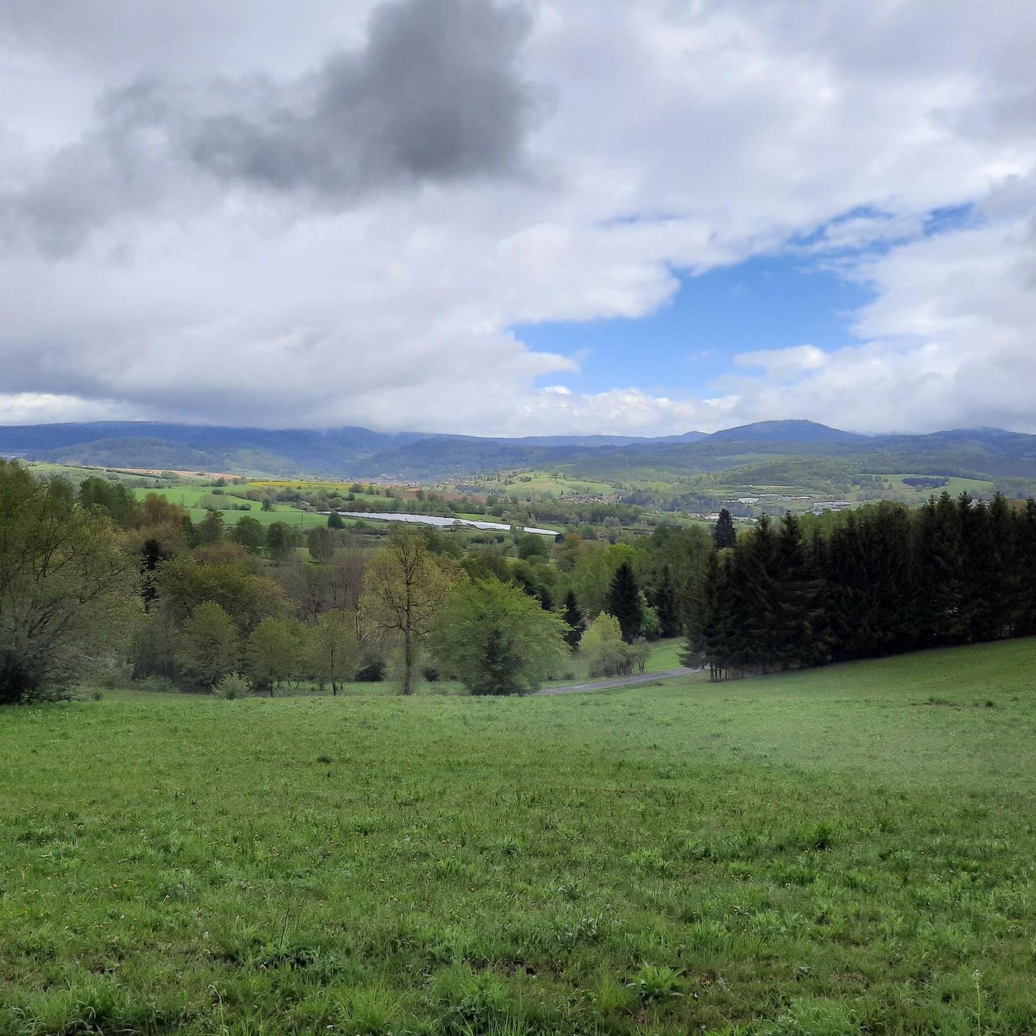
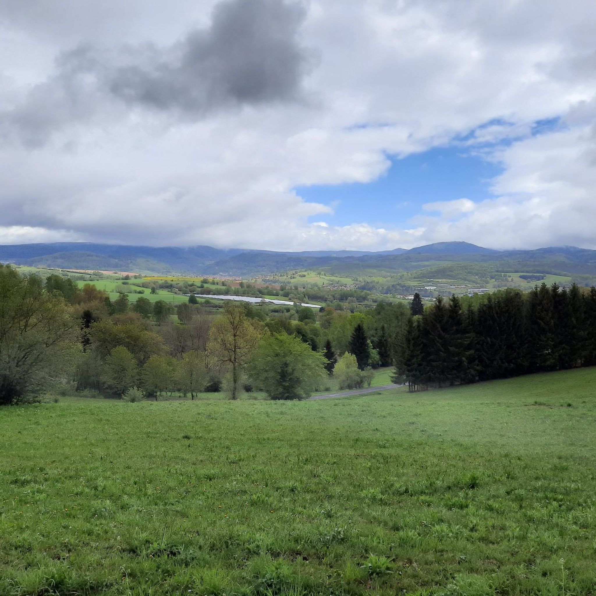
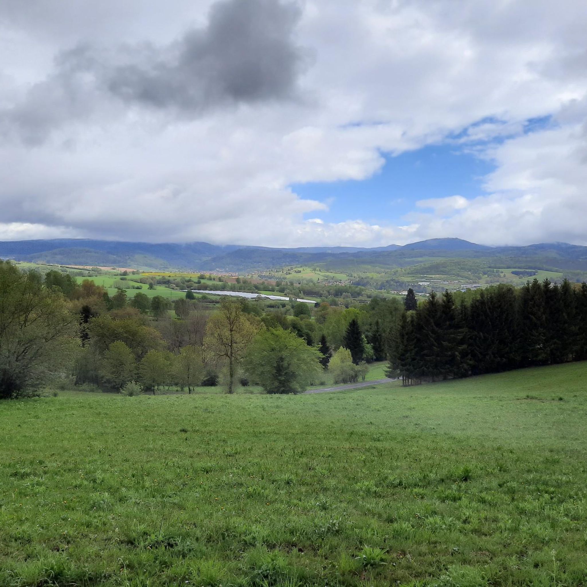
Tips from the Community

The Große Inselsberg near Bad Tabarz, at 916.5 m, is the highest, widely visible elevation in the western Thuringian Forest. It has marked historical borders for over 1,000 years, currently between the districts of Gotha and Schmalkalden-Meiningen. Source: https://www.tourismus-thueringer-wald.de/aktiv/grosser-inselsberg-mit-aussichts-und-erlebnisturm
1
0

The restaurant belongs to the hotel. The inviting beer garden is recommended.
0
0

Observation tower located directly on the Rennsteig. It is situated on the 765-meter-high Krämerod of the same name, near the municipality of Floh-Seligenthal, and offers a good panoramic view of the forest landscape.
5
0

After a cool Radler in the Turmbaude, it continues uphill and we arrive at the former Auwallenburg train station.
0
0

Very nice hotel and the food tasted good.
0
0

At the Hohleborn stop there is now a rest area with a view into the Schmalkalde valley, towards Floh-Seligenthal.
0
0
The title of the highlight is misleading, there is no tunnel at that location ! beautiful cycle path on an old railway line
0
0
Currently, there is a good view from up here of the old railway viaduct over the Schmalkalde and the tunnel portal.
0
0
Frequently Asked Questions
What kind of terrain can I expect on gravel bike trails around Viernau?
The gravel bike trails around Viernau offer a diverse mix of well-maintained gravel roads, natural paths, and forest roads within the Thuringian Forest. You'll encounter varied terrain, including segments of the Rennsteig Cycle Path, with both challenging climbs and scenic stretches through forested areas and open landscapes.
Are there gravel bike routes suitable for beginners or those looking for an easier ride in Viernau?
While many routes around Viernau are rated moderate to difficult, the region does offer options for various ability levels. You can find trails with less demanding elevation changes, though the overall landscape is characterized by varied terrain. For example, the Wallbach Valley – Werratal Cycle Path loop from Schmalkalden-Fachhochschule is a moderate route offering a mix of forest paths and open views.
What are some notable natural features or landmarks I can see along the gravel bike routes?
The routes often traverse the Thuringian Forest Biosphere Reserve and run parallel to the historic Rennsteig. You might encounter features like the Pond and stream in Sterngrund or the Falkenstein and the Lake. Other highlights include the Violet fountain and the Schützenbergmoor Boardwalk.
Are there any circular gravel bike routes around Viernau?
Yes, many of the gravel bike routes in the Viernau area are designed as loops, allowing you to start and end at the same point. Examples include the Hundsrück Tunnel – Hundsrücktunnel loop from Mittelstille and the Albert Schweitzer Hut – Hundsrücktunnel loop from Schmalkalden-Fachhochschule.
What do other gravel bikers enjoy most about cycling in Viernau?
The area is highly rated by the komoot community, with an average score of 4.3 stars from over 30 reviews. Gravel bikers often praise the varied terrain, the extensive network of forest roads, and the scenic beauty of the Thuringian Forest.
Is it possible to reach Viernau and the trails by public transport with a bike?
Viernau is situated within the Thuringian Forest, and the historic Rennsteig train station serves as a convenient starting point for many nature adventures. While specific bike transport options on local public transport should be verified with regional providers, the presence of a train station suggests accessibility for cyclists.
Are there any family-friendly gravel biking options near Viernau?
While many routes feature challenging climbs, the diverse network includes paths suitable for varying fitness levels. For family outings, look for routes described as moderate or those with less significant elevation changes, focusing on the more established cycle paths like segments of the Rennsteig Cycle Path where terrain might be more forgiving.
What is the best time of year for gravel biking in Viernau?
The Thuringian Forest region is beautiful throughout the warmer months. Spring and autumn offer pleasant temperatures and vibrant scenery, while summer provides longer daylight hours. Winter cycling is possible, but conditions can be challenging with snow and ice, so checking local weather is essential.
Are there places to stop for refreshments or accommodation along the routes?
The Rennsteig route and surrounding areas are dotted with picturesque villages and offer opportunities to experience Thuringian hospitality. While specific cafes or pubs on every route segment are not guaranteed, planning your ride to pass through villages or near known rest stops will provide options for refreshments and accommodation.
Where can I find parking for my car when starting a gravel bike tour in Viernau?
While specific parking locations are not detailed for every route, popular starting points for trails, especially those near villages or known attractions like the historic Rennsteig train station, typically offer parking facilities for visitors. It's advisable to check local signage upon arrival.
Are there any longer, more challenging gravel bike routes for experienced riders?
Yes, the Viernau area offers several difficult routes for experienced gravel bikers. For instance, the Breitungen Lakes – Werra Bridge Breitungen loop from Schmalkalden-Fachhochschule is a challenging 52.6 km route with significant elevation gain, ideal for those seeking a demanding ride.
Most popular routes around Viernau
Most popular attractions around Viernau

Get inspired with the komoot mobile app


Explore more
Browse the best Gravel rides in other regions.
