The best running trails around Viernau
4.4
(453)
5,252
runners
333
runs
Jogging around Viernau offers diverse landscapes within the Thuringian Forest, characterized by an appealing blend of natural beauty. The region features lush woodlands, rolling hills, and scenic valleys, influenced by a low mountain range climate. Varied geological formations, including sandstone and shell limestone, contribute to a mix of terrain suitable for different levels of running. Extensive trails wind through these surroundings, providing opportunities to explore the natural environment.
Best jogging routes around Viernau
- The most popular jogging route is Physiofit…
Last updated: October 4, 2026
23
runners
22.1km
02:26
410m
410m
Hard run. Very good fitness required. Mostly paved surfaces. Suitable for all skill levels.
5.0
(1)
12
runners
17.6km
01:55
320m
320m
Hard run. Very good fitness required. Mostly paved surfaces. Suitable for all skill levels.

5.0
(3)
12
runners
10.8km
01:08
90m
90m
Moderate run. Good fitness required. Mostly paved surfaces. Suitable for all skill levels.
12
runners
13.8km
01:32
240m
240m
Moderate run. Good fitness required. Mostly paved surfaces. Suitable for all skill levels.
10
runners
Hard run. Very good fitness required. Mostly paved surfaces. Suitable for all skill levels.
Get access to more routes and recommendations from other explorers.
Already have an account?
Our route recommendations are based on thousands of hikes, rides, and runs completed by other people on komoot.
Start today with a free account
Your next adventure awaits.
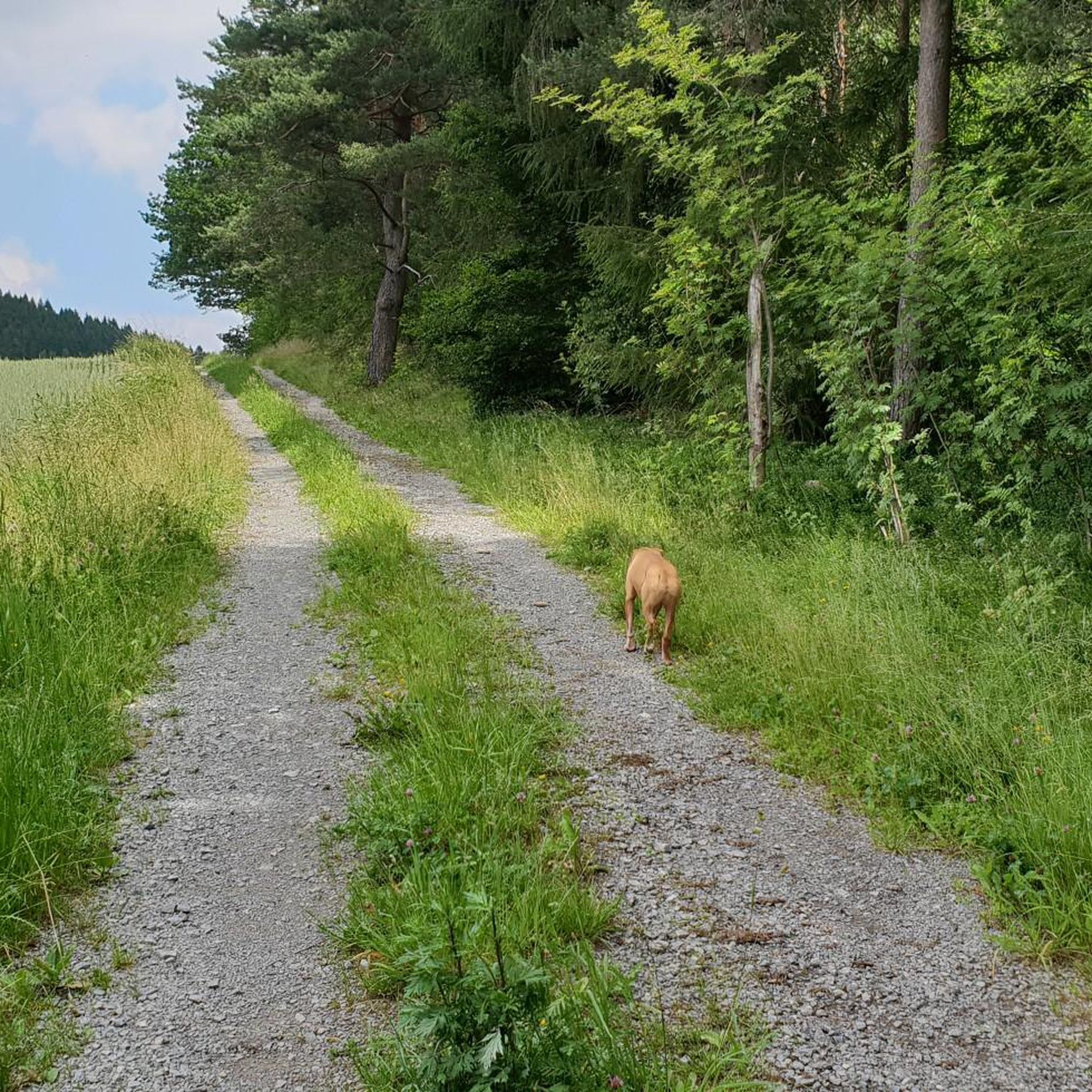
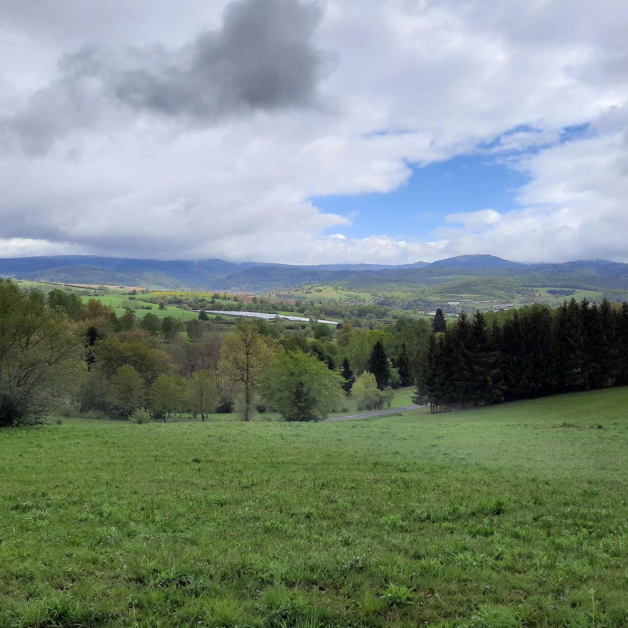
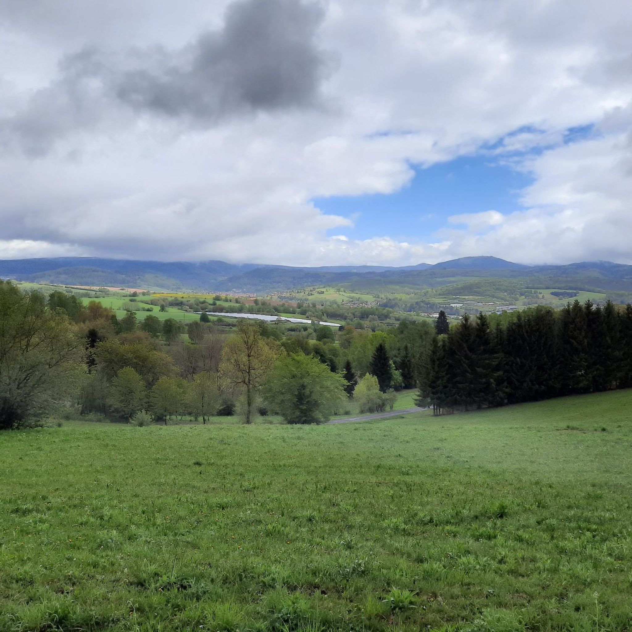
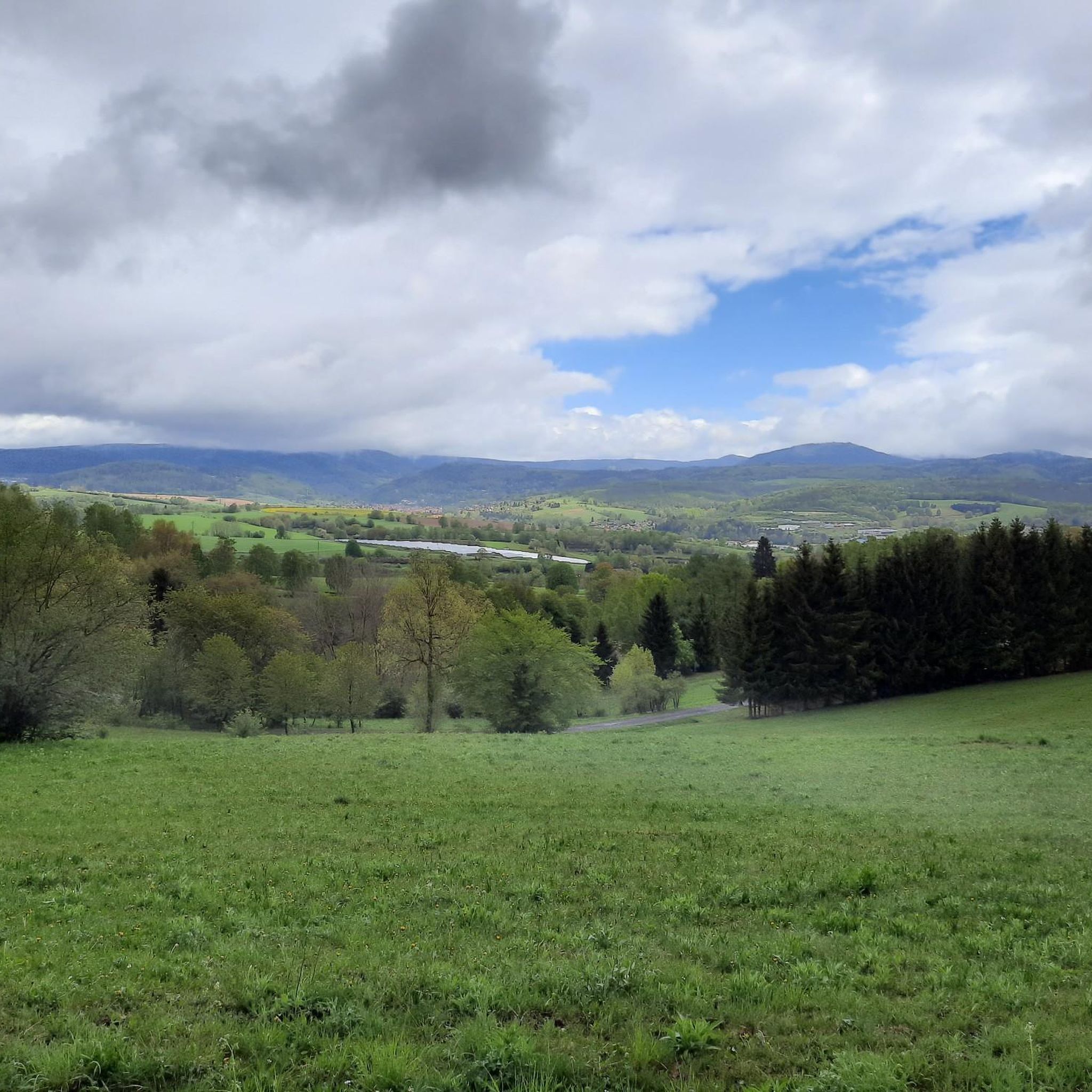

Tips from the Community


A very nice hospitality, friendly hosts and super delicious food 😋 with parking right in front of the door 👍
1
0


Here you can stop for a bite to eat, have a drink, and rest....
1
0
beautiful area
0
0
A great stopover for thirst and hunger
2
0

super idyllic section along the small Lichtenau
2
0

Small cozy protective cover at the Veilchenbrunnen
0
0
Frequently Asked Questions
How many running routes are available around Viernau?
Viernau offers a vast network of trails for runners. There are over 300 dedicated running routes in the area, catering to various fitness levels. You'll find a good mix, with about 27 easy routes, over 200 moderate options, and around 80 challenging trails for experienced runners.
Are there any easy or beginner-friendly jogging routes in Viernau?
Yes, Viernau has several easy routes suitable for beginners or those looking for a gentler run. For instance, the Hergeser Teich loop from Viernau is a moderate 5.5 km path with minimal elevation gain, perfect for a relaxed jog through scenic surroundings.
What kind of terrain can I expect on the running trails in Viernau?
The running trails in Viernau offer a diverse terrain, characteristic of the Thuringian Forest. You can expect a mix of well-maintained forest roads, varied forest paths, and open meadow landscapes. The region's mountains and valleys provide both challenging ascents and gentler, flatter sections, ensuring a varied experience for every runner.
Are there any circular running routes around Viernau?
Yes, many of the running routes around Viernau are circular, offering convenient starting and ending points. A great example is the moderate Breiter Berg Shelter – Thuringian Forest Nature Park loop from Viernau, which covers nearly 10 km and allows you to explore the natural park without retracing your steps.
What do other runners say about the trails in Viernau?
The running trails in Viernau are highly regarded by the komoot community, boasting an average rating of 4.5 stars from over 300 reviews. Runners frequently praise the lush woodlands of the Thuringian Forest, the fresh air, and the well-maintained paths that offer a refreshing and diverse running experience.
Can I find running routes that pass by waterfalls or other natural attractions?
Absolutely! The Viernau region is rich in natural beauty. You can find routes that lead to beautiful natural features like The Röllchen Gorge and Waterfall or the Edelaue Pond and Waterfall. These spots offer picturesque breaks during your run.
Are there any historical landmarks or castles visible from the running paths?
While running, you might encounter glimpses of the region's history. For a dedicated exploration of historical sites, consider visiting nearby castles like Wilhelmsburg Castle in Schmalkalden or the Hallenburg Castle Ruins, which are part of the broader cultural landscape around Viernau.
What is the best time of year for running in Viernau?
Viernau offers excellent running conditions throughout much of the year. Spring and summer are particularly beautiful, with the abundant plant life enhancing the natural scenery. The Thuringian Forest provides fresh air and shade, making it pleasant even on warmer days. Autumn brings vibrant colors, while winter can offer serene, snow-covered trails for those who enjoy cold-weather running.
Are there any long-distance running options or challenging trails?
Yes, for those seeking a challenge, Viernau provides several difficult long-distance routes. The Hasel Bridge – Schwarza River loop from Benshausen is a demanding 35.7 km trail, often completed in under four hours, offering a significant endurance test along the Schwarza River.
Can I combine running with exploring the Thuringian Forest Nature Park?
Absolutely. Viernau is nestled within the Thuringian Forest, and many running routes traverse or offer access to the nature park. This allows you to immerse yourself in the lush woodlands and enjoy the fresh air while getting your run in. The extensive trail network provides ample opportunities to explore the park's distinct landscapes.
Are there any running routes that follow rivers or bodies of water?
Yes, you can find routes that incorporate water features. For example, the challenging Hasel Bridge – Schwarza River loop from Benshausen follows the Schwarza River for a significant portion, offering scenic views along the water. Additionally, the Schmeheimer Pond is a notable body of water in the vicinity.
Most popular routes around Viernau
Most popular attractions around Viernau

Get inspired with the komoot mobile app


Explore more
Browse the best Running Trails & Routes in other regions.
