The best gravel rides around Bad Überkingen
4.6
(94)
515
riders
61
rides
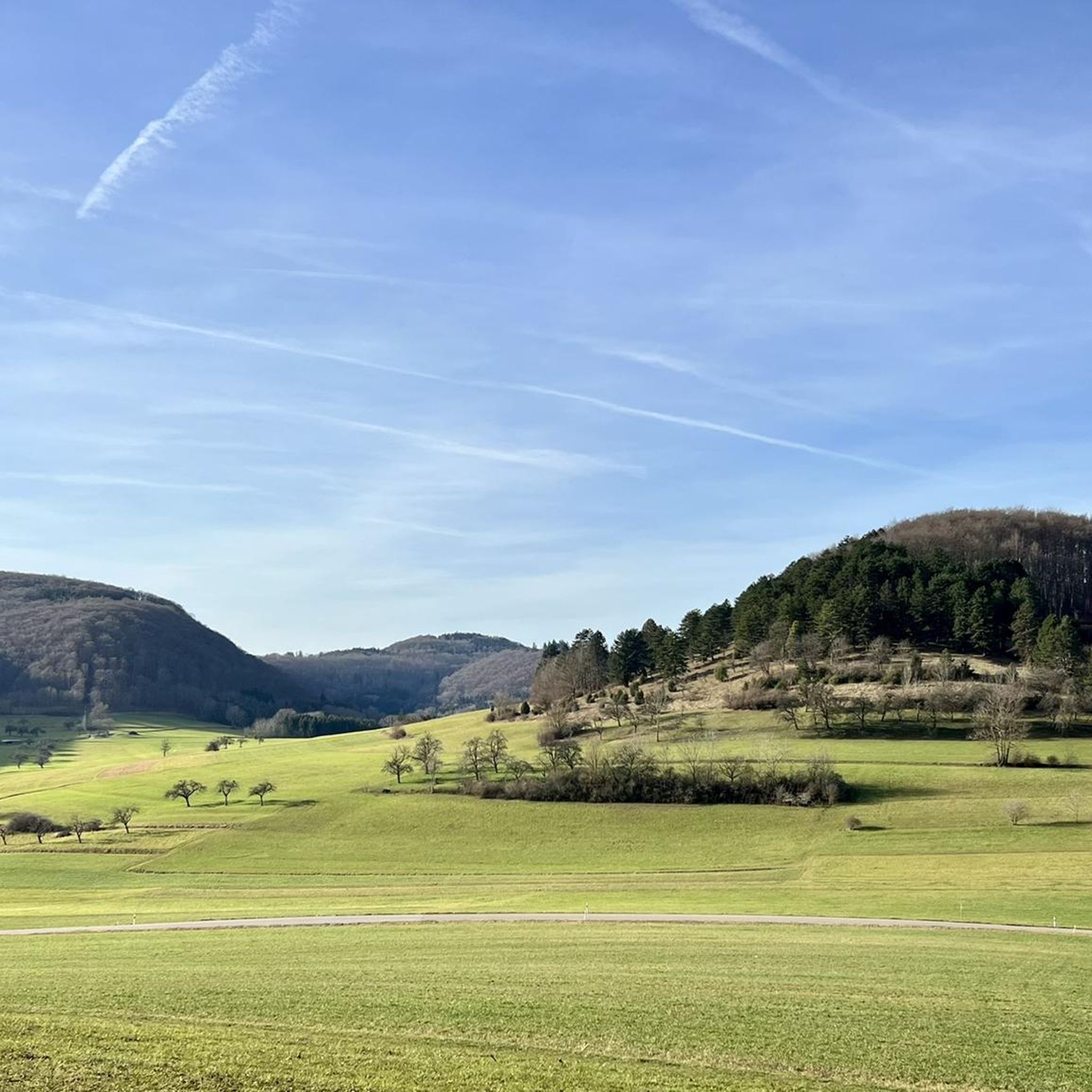
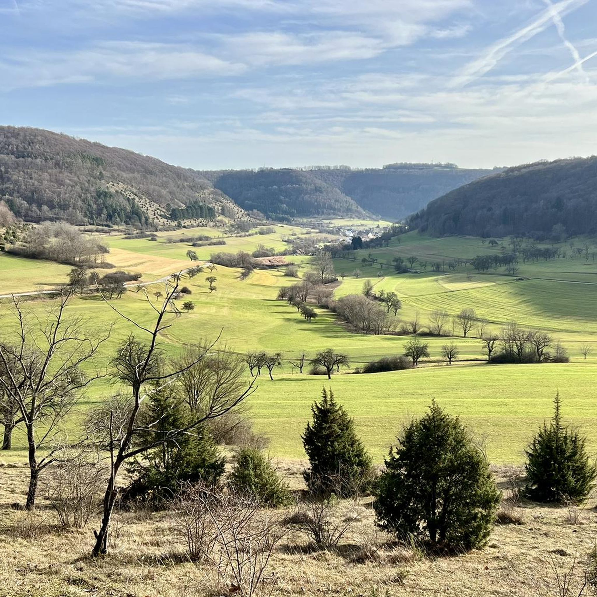
Gravel biking around Bad Überkingen offers diverse terrain within the Swabian Alb region. The landscape is characterized by rolling hills, dense forests, and river valleys, providing varied surfaces for gravel cyclists. Expect a mix of gravel paths, forest roads, and some paved sections connecting natural areas. The region's geology contributes to a dynamic riding experience with moderate ascents and descents.
Best gravel bike trails around Bad Überkingen
- The most popular gravel bike trail is Graveltour Bad Überkingen – Winter.Gravel.Sweat,…
Last updated: October 6, 2026
4.7
(3)
9
riders
73.2km
05:17
860m
860m
Hard gravel ride. Very good fitness required. You may need to push your bike for some segments of this route.
4.0
(9)
60
riders
Moderate gravel ride. Good fitness required. Mostly paved surfaces. Suitable for all skill levels.

4.7
(7)
27
riders
31.6km
01:50
380m
380m
Moderate gravel ride. Good fitness required. Mostly paved surfaces. Suitable for all skill levels.
4.7
(7)
27
riders
39.3km
02:27
650m
650m
Hard gravel ride. Very good fitness required. Mostly paved surfaces. Suitable for all skill levels.
5.0
(2)
9
riders
36.5km
02:43
790m
790m
Hard gravel ride. Very good fitness required. Mostly paved surfaces. Suitable for all skill levels.
Get access to more routes and recommendations from other explorers.
Already have an account?
Our route recommendations are based on thousands of hikes, rides, and runs completed by other people on komoot.
Start today with a free account
Your next adventure awaits.
Popular around Bad Überkingen
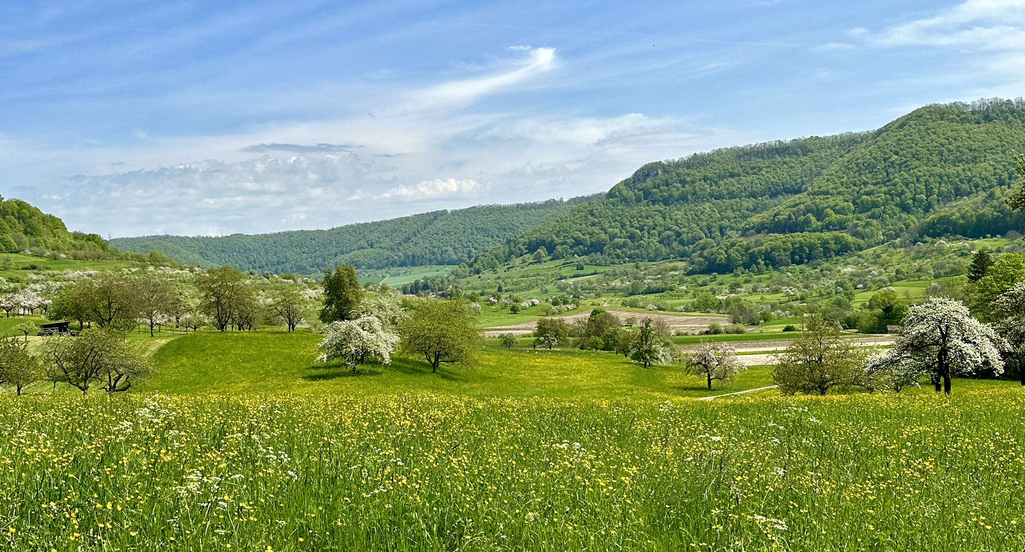
Blossom walks in the Swabian Alb
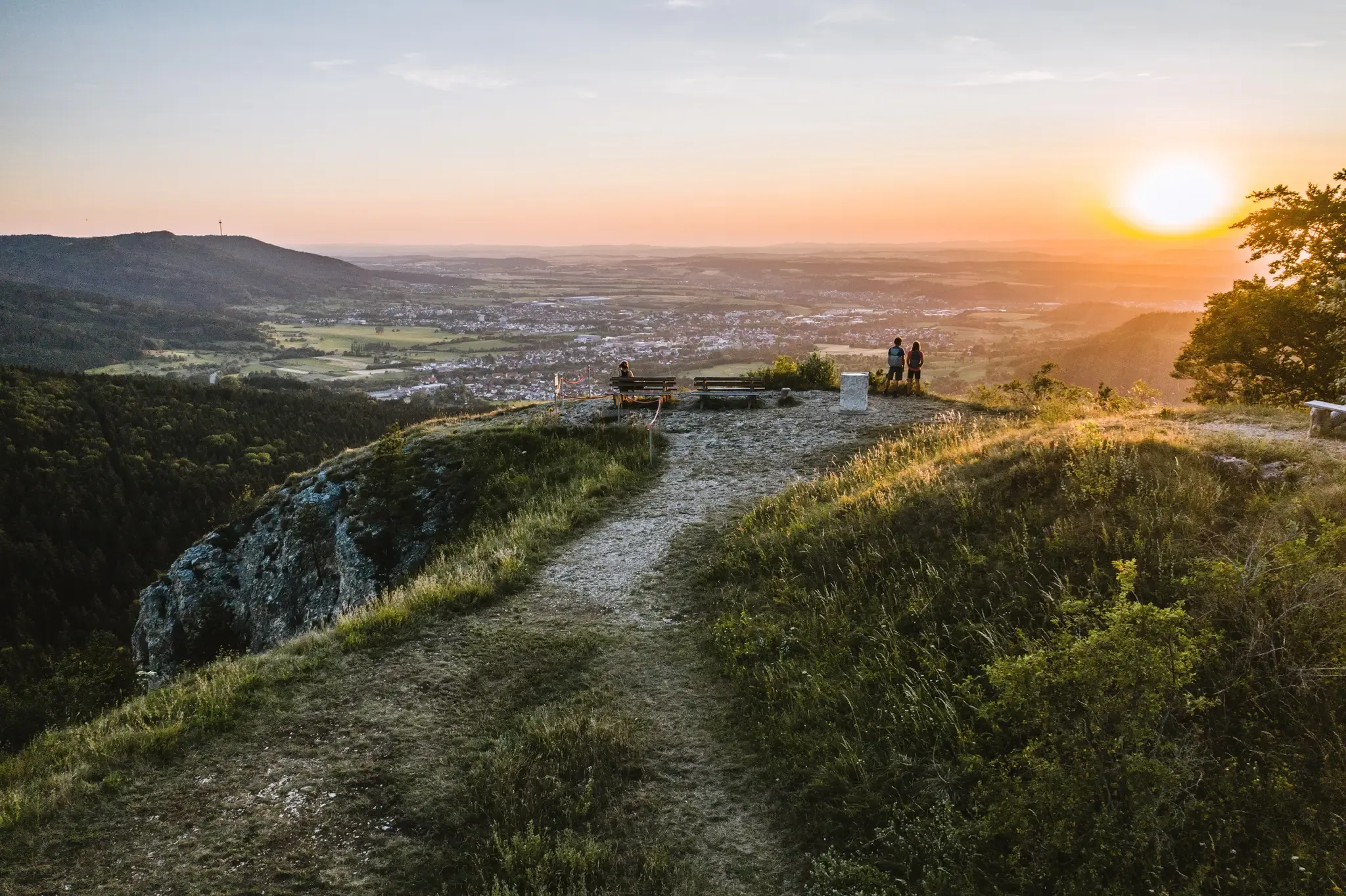
Discover the fascinating rocks and caves of Germany’s Swabian Alb
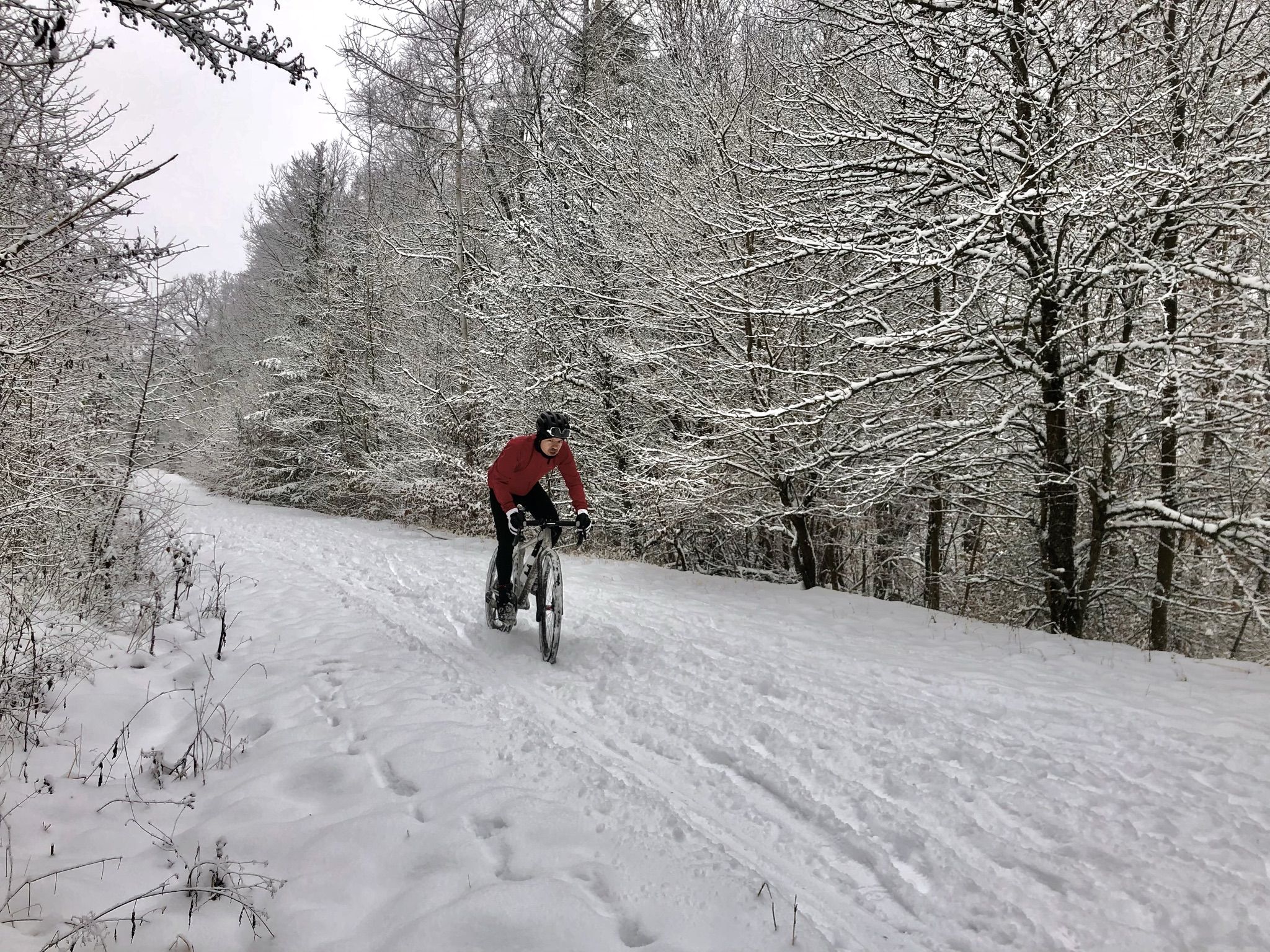
Winter.Gravel.Sweat – gravel and sauna fun in Germany’s Swabia
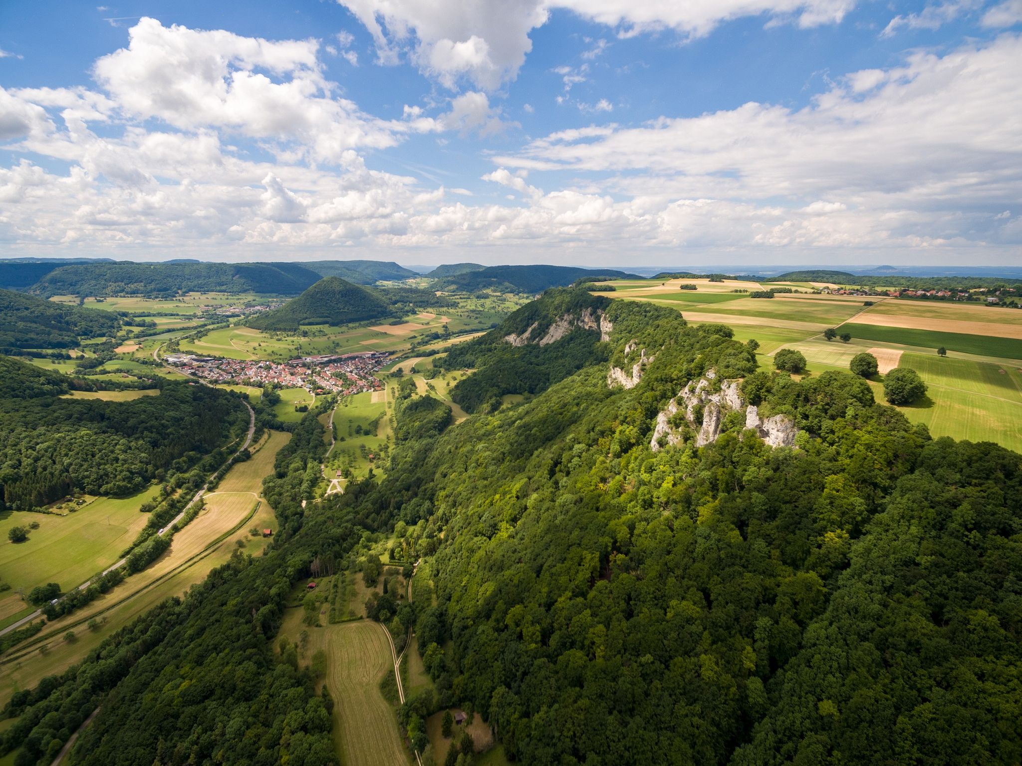
Fantastic ridge views – hiking on the Albtraufgaenger
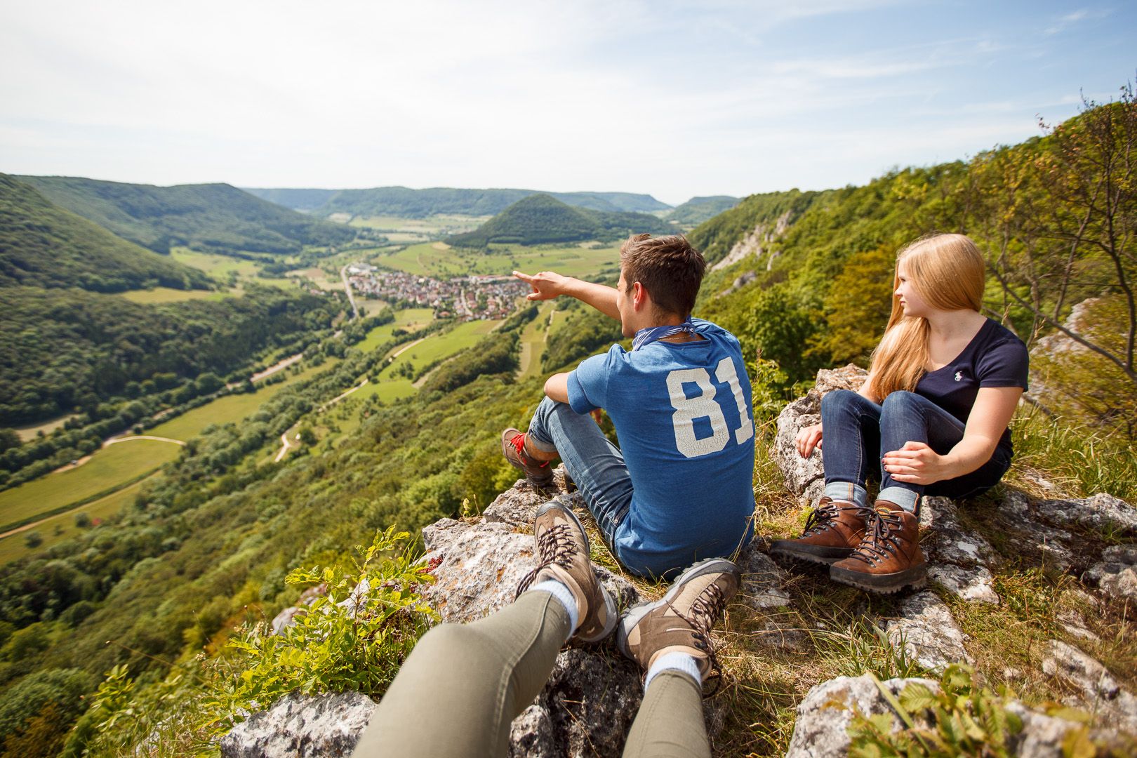
Lion Trails in the Swabian Alb – 16 Tours around Göppingen
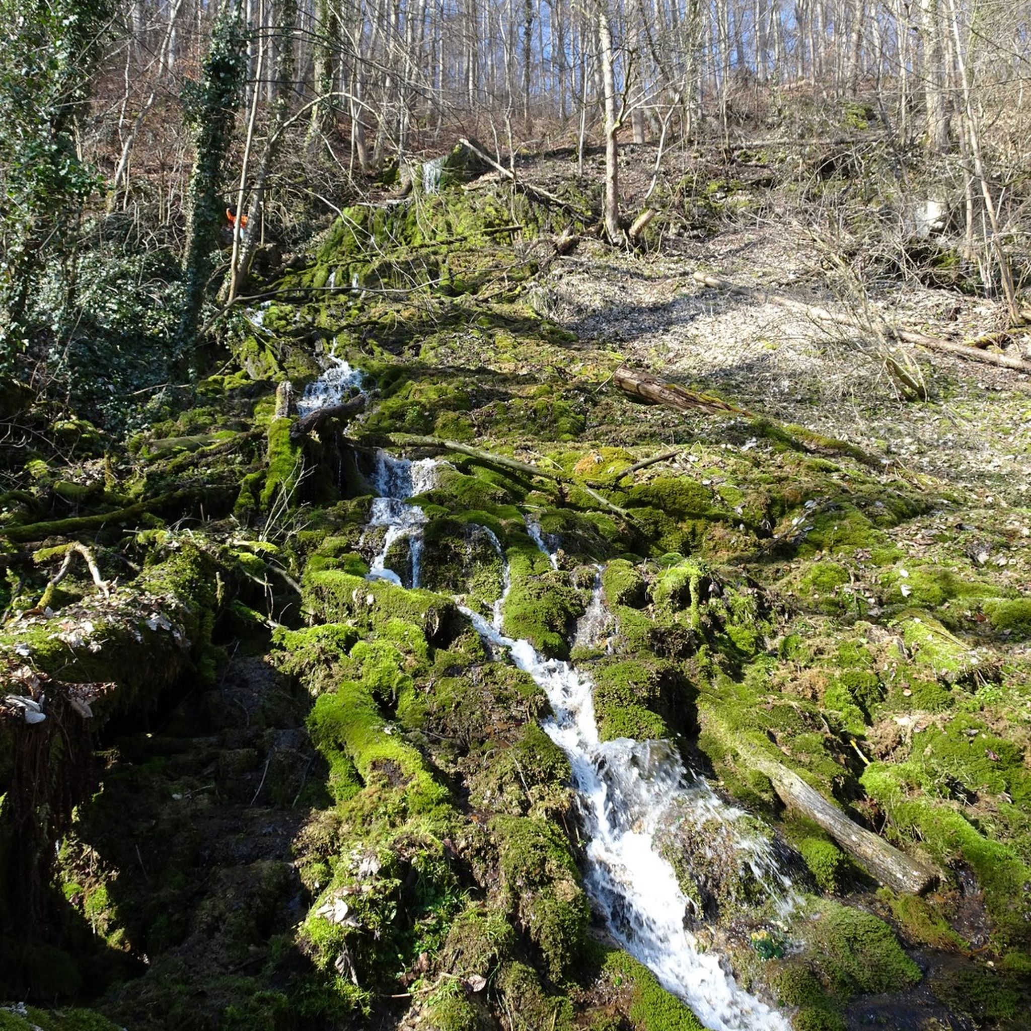
Hiking around Bad Überkingen
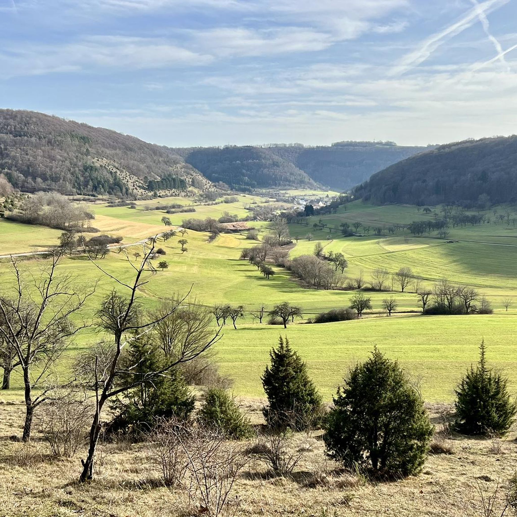
Cycling around Bad Überkingen
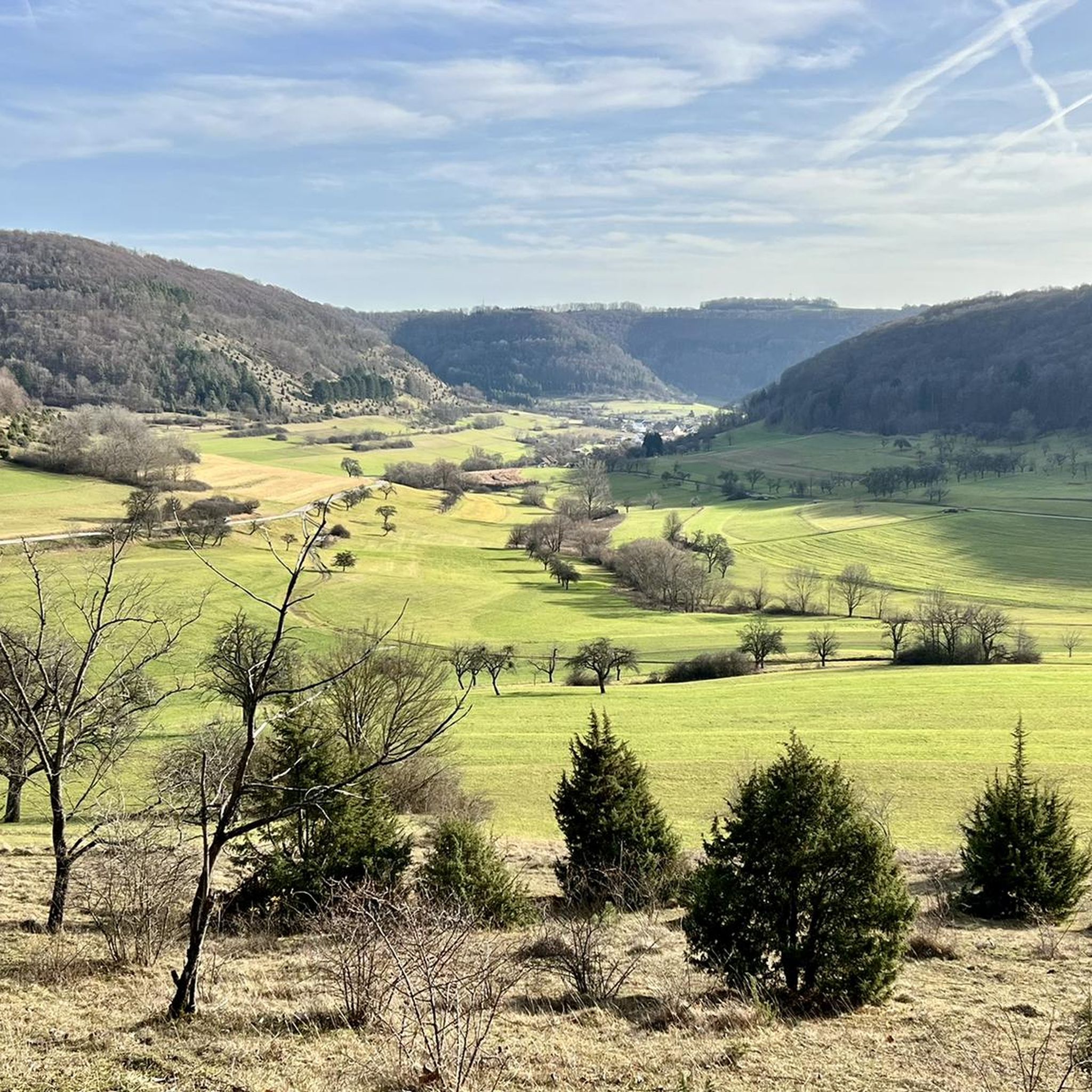
MTB Trails around Bad Überkingen
Running Trails around Bad Überkingen
Road Cycling Routes around Bad Überkingen
Other adventures around Bad Überkingen


Tips from the Community

The Hohenstaufen, the ancestral castle of the Hohenstaufen dynasty
0
0

Interesting signs along the way impressively show the distance of celestial bodies from Earth on a scale.
3
0
From the former Nenningen train station to Donzdorf. An absolutely beautiful section.
3
0

🌄 Here the Swabian Jura opens up, offering a wide view over the Albvorland. A place to sit down, take a deep breath and simply look; on clear days, the horizon seems to have almost no end. 🍂🌳👀
1
0
🪂 At the paragliding rock, the sky becomes a stage. In suitable conditions, paragliders launch here above the Alb-platå and soar out over Neidlingen. 🌬️ 🥾 The spot is just as worthwhile for hikers: take a break at the rock, watch the launches, and enjoy the wide view over the valley. ⛰️ 📸 One of those places where you like to stay a few minutes longer.
1
0

Cycle path between the fields
1
0

Depending on the thermal conditions, it is possible to witness the paragliders taking off very close to the launch site.
0
0
Frequently Asked Questions
How many gravel bike trails are available in Bad Überkingen?
Bad Überkingen offers a wide selection of gravel bike trails, with over 130 routes available for exploration. These trails cater to various skill levels, from easy to difficult.
What kind of terrain can I expect on gravel bike trails around Bad Überkingen?
The gravel biking terrain around Bad Überkingen is diverse, characterized by the rolling hills, dense forests, and river valleys of the Swabian Alb. You'll encounter a mix of gravel paths, forest roads, and some paved sections that connect natural areas, providing a dynamic riding experience with moderate ascents and descents.
Are there easy gravel bike routes suitable for beginners in Bad Überkingen?
Yes, Bad Überkingen has options for beginners. While many routes are moderate to difficult, there are 5 easy gravel bike tours available. These routes are a great way to get started and enjoy the region's scenery at a comfortable pace.
Are there challenging gravel bike trails for experienced riders?
Absolutely. For experienced riders seeking a challenge, Bad Überkingen offers 84 difficult gravel bike trails. Routes like Graveltour Bad Überkingen – Winter.Gravel.Sweat, which covers 45.5 miles (73.2 km) with significant elevation gain, provide a demanding and rewarding experience.
Can I find long-distance gravel bike routes in the area?
Yes, there are several longer gravel bike routes. The Graveltour Bad Überkingen – Winter.Gravel.Sweat is a notable example, stretching over 45 miles (73 km). Other routes, such as View of the Rechberg – View of Hohenstaufen loop from Süßen, also offer substantial distances for extended rides.
Are there circular gravel bike routes around Bad Überkingen?
Many gravel bike routes in the region are designed as loops, allowing you to start and end at the same point. Examples include the moderate Mordloch Cave – Old Railway Line to Grünbach loop from Geislingen West and the View of the Hausener Wand – Hausener Rock Face loop from Geislingen West.
What are some scenic highlights or attractions I can see along the gravel bike trails?
The trails often lead past stunning natural and historical landmarks. You can encounter impressive rock formations like the Amazonen Rock or enjoy panoramic views from spots like the View from Messelberg. Historic sites such as the Hohenstaufen Castle Ruins and Viewpoint are also accessible.
Are there any waterfalls or caves accessible from the gravel bike routes?
Yes, the region is known for its geological features. You can find the beautiful Autal Waterfall and explore fascinating caves like the Mordloch Cave or Brunnensteighöhle, often located near gravel bike paths.
What do other gravel bikers say about the trails in Bad Überkingen?
The gravel biking routes in Bad Überkingen are highly regarded by the komoot community, holding an impressive average rating of 4.6 stars from over 100 reviews. More than 800 gravel bikers have used komoot to explore the varied terrain, often praising the diverse landscapes and well-maintained paths.
What is the best time of year for gravel biking in Bad Überkingen?
While some routes, like the 'Winter.Gravel.Sweat' tour, suggest year-round possibilities, the spring, summer, and autumn months generally offer the most pleasant conditions for gravel biking in the Swabian Alb, with milder weather and vibrant scenery. Always check local weather conditions before heading out.
Are there gravel bike routes that follow old railway lines?
Yes, one popular route, the Mordloch Cave – Old Railway Line to Grünbach loop from Geislingen West, follows a former railway line. These types of routes often provide a unique riding experience with gentle gradients and scenic views.
Most popular routes around Bad Überkingen
Most popular attractions around Bad Überkingen

Get inspired with the komoot mobile app


Explore more
Browse the best Gravel rides in other regions.
