The best walks and hikes around Bad Überkingen
4.6
(2390)
9,042
hikers
126
hikes
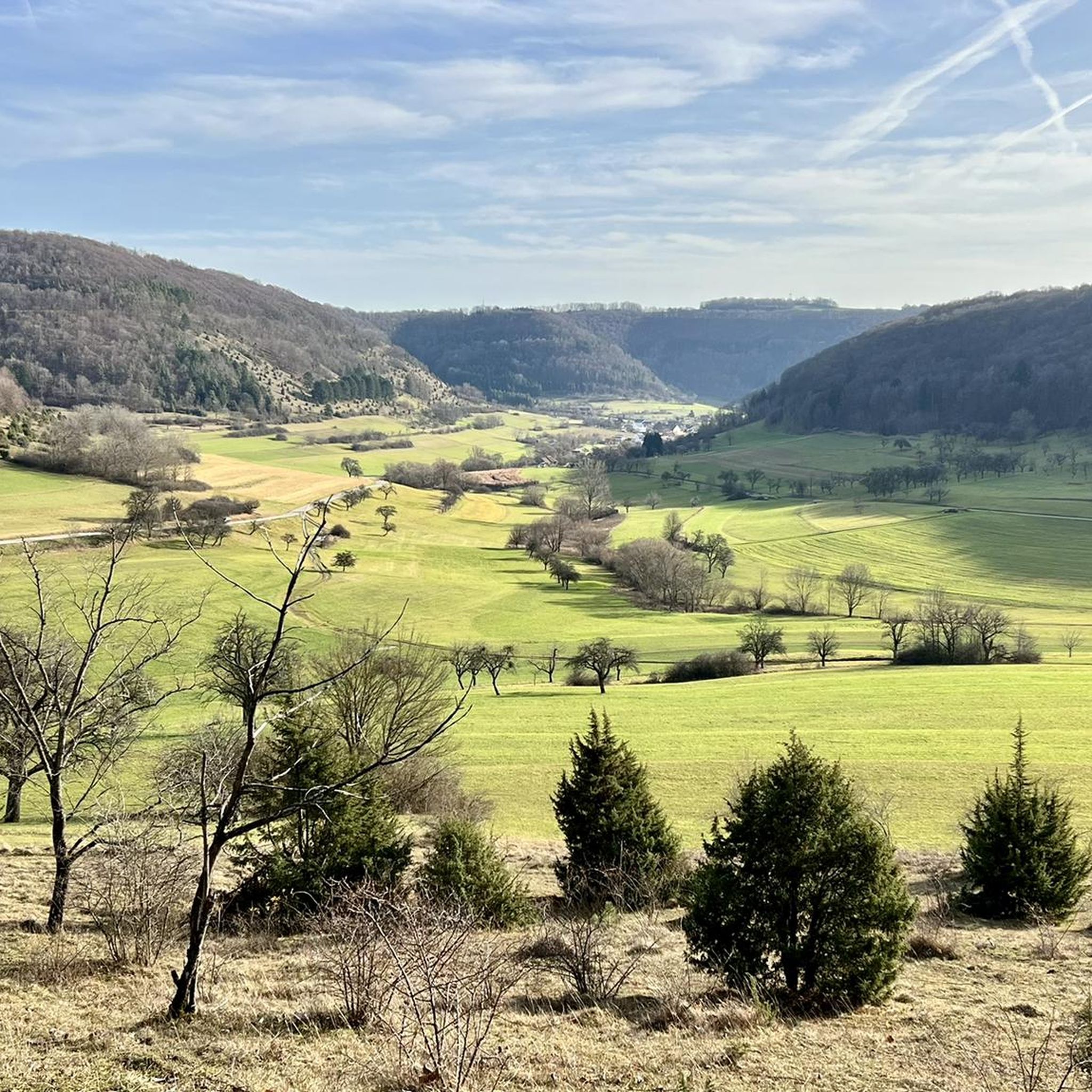
Hiking around Bad Überkingen, nestled at the foot of the Swabian Alb, offers a diverse landscape characterized by a 300-meter altitude spread. The region features ravine forests, tufa springs, and waterfalls within the Autal Valley, alongside panoramic views from the Albtrauf escarpment. Hikers can explore mixed forests, prominent rock formations like the Hausener Wand, and open areas.
Best hiking trails around Bad Überkingen
- The most popular hiking route is Märzenbechertraum in the Autal in Bad Überkingen, a 7.1 miles…
Last updated: October 8, 2026
4.7
(99)
372
hikers
11.5km
03:36
410m
410m
Moderate hike. Good fitness required. Mostly accessible paths. Sure-footedness required.
4.8
(161)
475
hikers
Moderate hike. Good fitness required. Easily-accessible paths. Suitable for all skill levels.

4.7
(137)
484
hikers
Moderate hike. Good fitness required. Easily-accessible paths. Suitable for all skill levels.
4.8
(65)
147
hikers
13.0km
03:59
430m
430m
Moderate hike. Good fitness required. Easily-accessible paths. Suitable for all skill levels.
4.6
(76)
210
hikers
16.2km
04:33
330m
330m
Hard hike. Good fitness required. Sure-footedness, sturdy shoes and alpine experience required.
Get access to more routes and recommendations from other explorers.
Already have an account?
Our route recommendations are based on thousands of hikes, rides, and runs completed by other people on komoot.
Start today with a free account
Your next adventure awaits.
Popular around Bad Überkingen
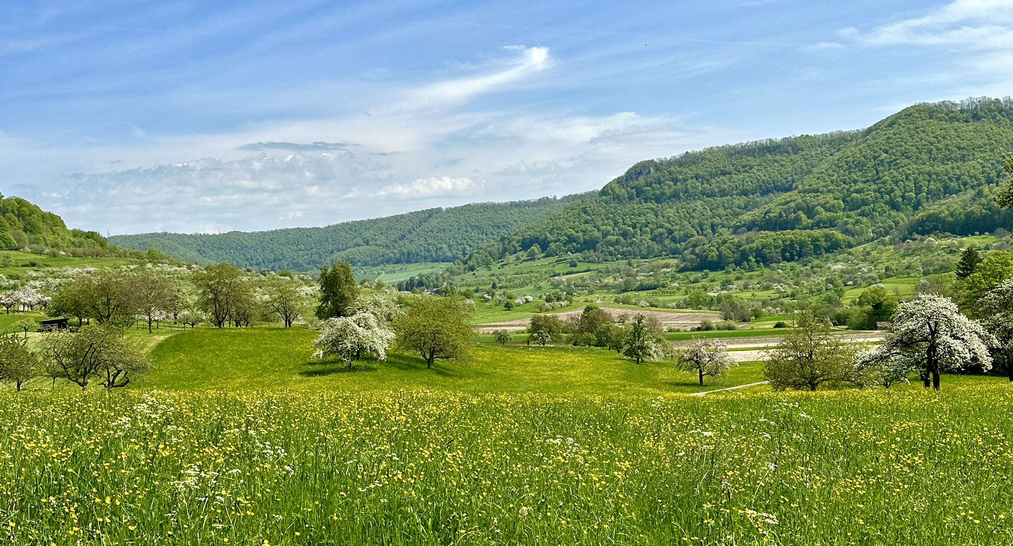
Blossom walks in the Swabian Alb
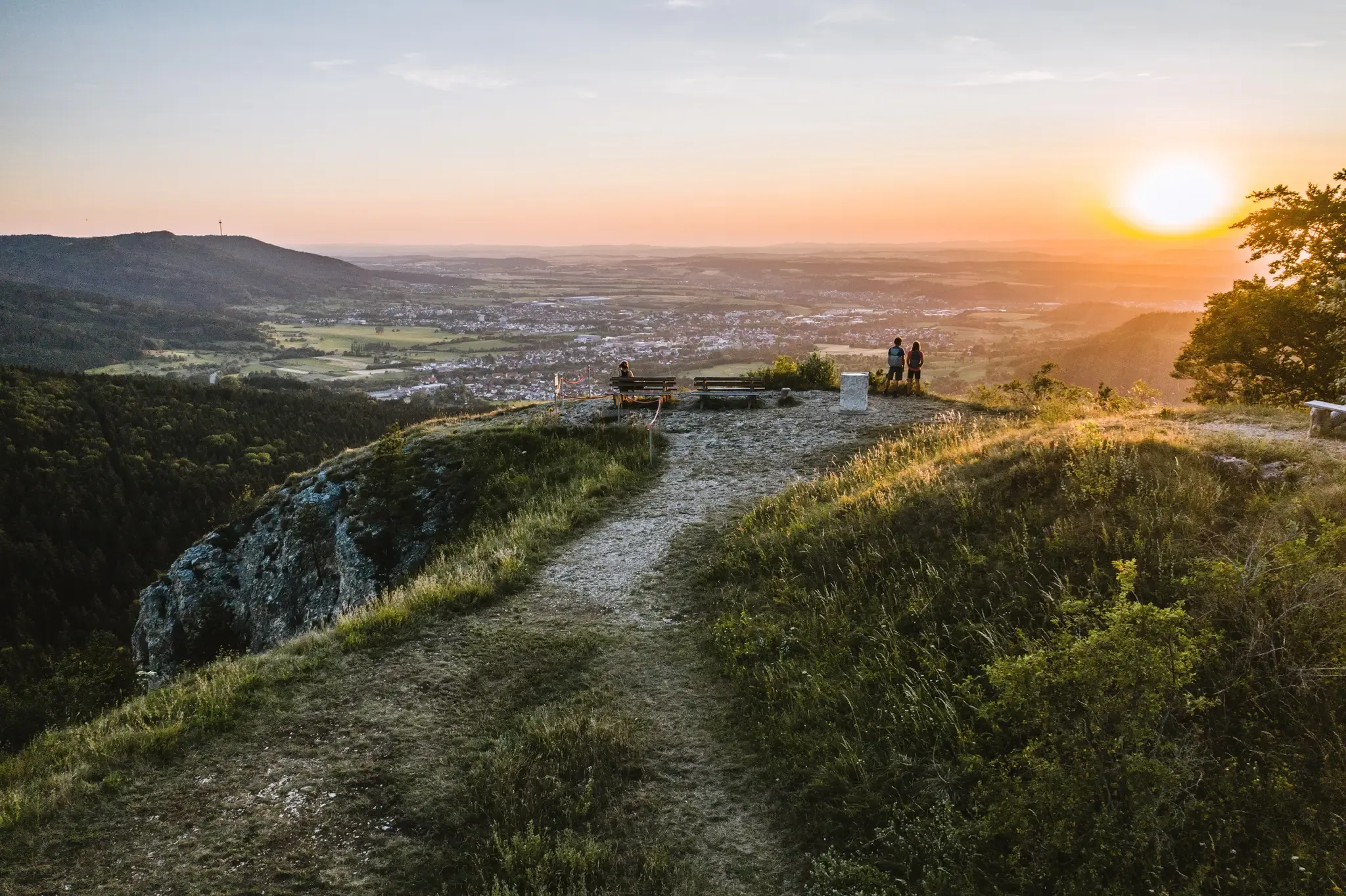
Discover the fascinating rocks and caves of Germany’s Swabian Alb
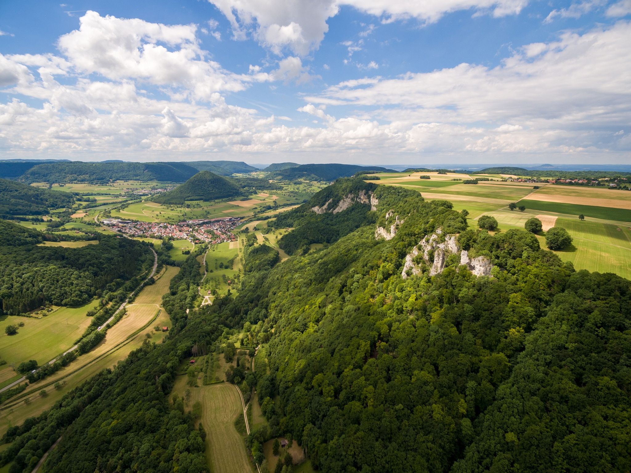
Fantastic ridge views – hiking on the Albtraufgaenger
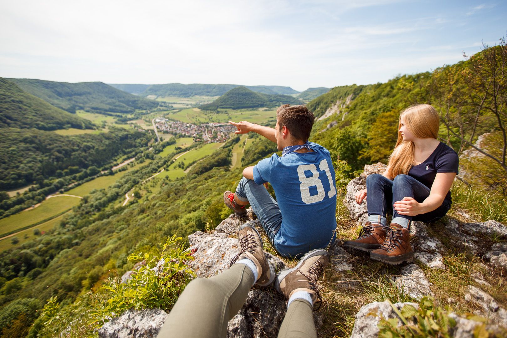
Lion Trails in the Swabian Alb – 16 Tours around Göppingen
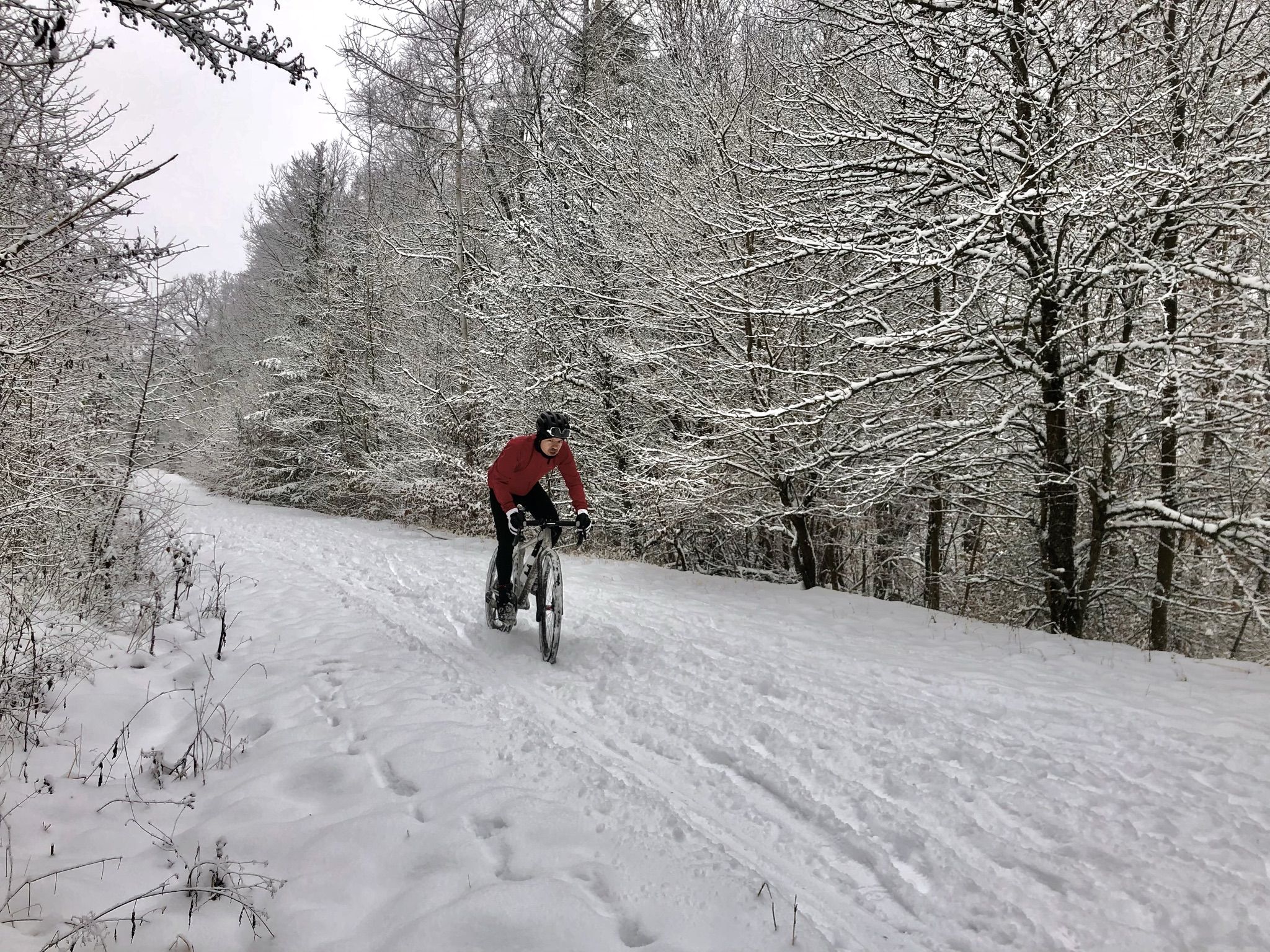
Winter.Gravel.Sweat – gravel and sauna fun in Germany’s Swabia
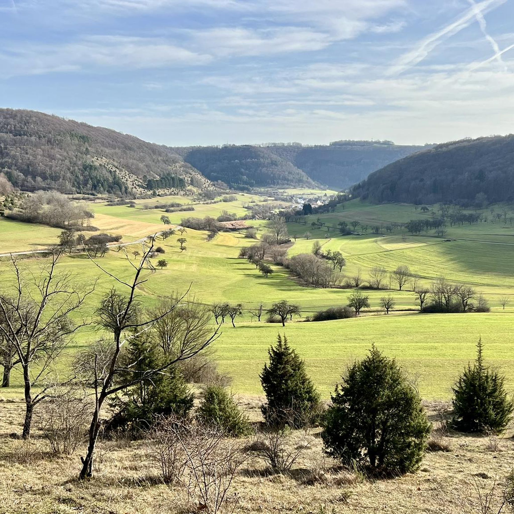
Cycling around Bad Überkingen
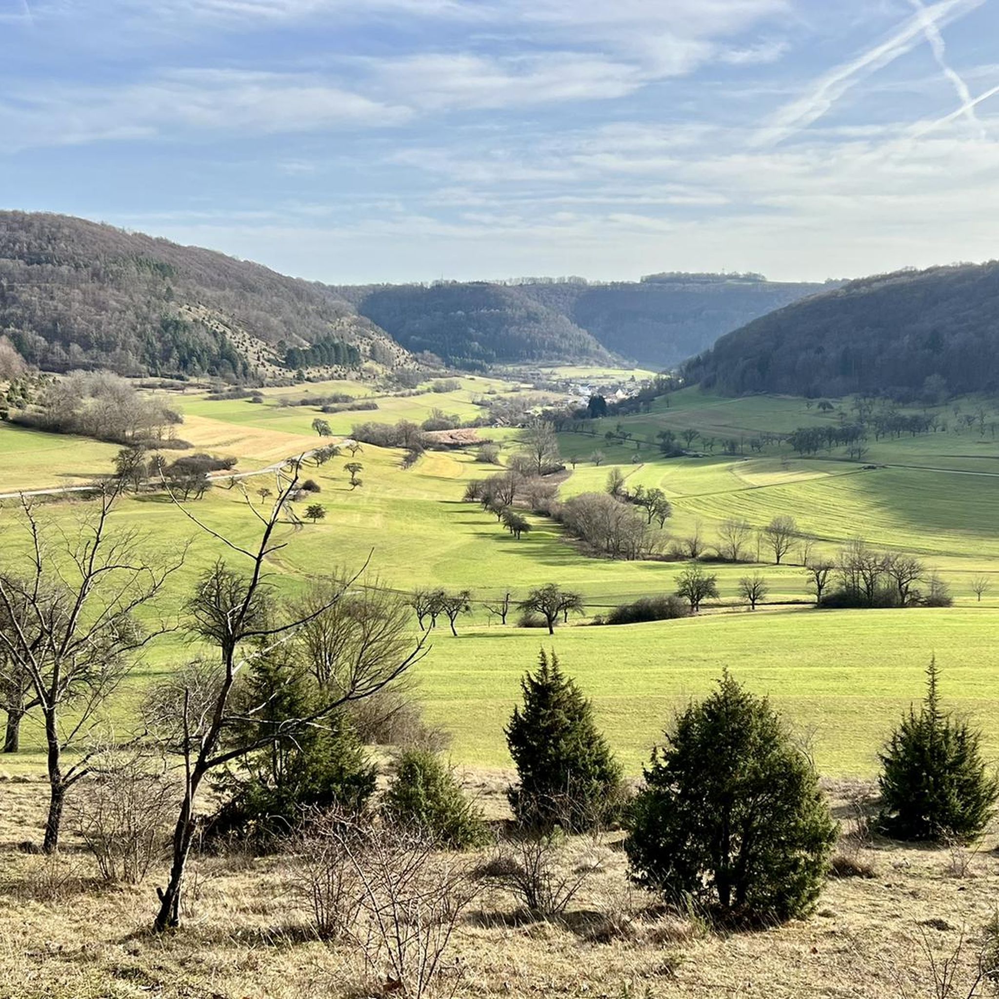
MTB Trails around Bad Überkingen
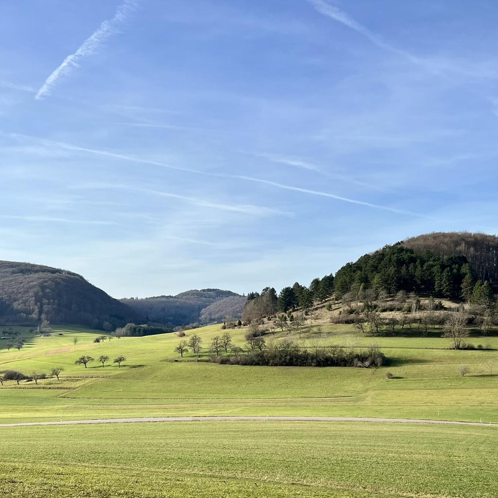
Running Trails around Bad Überkingen
Road Cycling Routes around Bad Überkingen

Gravel biking around Bad Überkingen
Other adventures around Bad Überkingen


Tips from the Community

Access currently extremely difficult or dangerous due to several fallen beech trees. :-(
1
0
The Kleine Hausener Wand is popular both as a viewpoint and among climbers. The exact location and access can be found at: https://www.thecrag.com/de/klettern/germany/schwaebische-alb/area/249677571
1
0
The Kleine Hausener Wand is popular as a viewpoint and among climbers. The exact location and access can be found at: https://www.thecrag.com/de/klettern/germany/schwaebische-alb/area/249677571
1
0
The Traufweg trail at the Michelberg always runs along the edge of the Tafelberg. Those who are not afraid of heights can repeatedly enjoy deep views from the battlements of the Hausener Wand into the valley.
1
0

Fortunately not. Imagine if there were signs and railings at all the dangerous spots on the Alb. Then not much would be left of the Alb. Recently, near Bad Urach, I was alerted by a sign that there are forest dangers in the woods. Very disturbing.
0
0

Here is a great "Lion Bench" 🦁 you have a dreamlike view of Geislingen/Steige, with the Albtrauf and the Three Emperors Mountains in the background 😀👍
0
0
Great view into the beautiful Filstal
1
1
Small bridge with a little bench
0
0
Frequently Asked Questions
How many hiking trails are available in Bad Überkingen?
Bad Überkingen offers a wide selection of over 120 hiking routes, catering to various preferences and fitness levels. You'll find everything from easy strolls to more challenging climbs.
Are there easy or family-friendly hiking options in Bad Überkingen?
Yes, Bad Überkingen has over 60 easy hiking routes, many of which are suitable for families. A great option is the View of the Hausener Wand – Autal Waterfall loop, an easy 4.9 km path that offers scenic views and passes the Autal Waterfalls.
What kind of natural features and landmarks can I expect to see on hikes in Bad Überkingen?
The region is rich in natural beauty, including ravine forests, tufa springs, and impressive rock formations. You can explore the Autal Waterfalls, the unique Brunnensteighöhle cave, and enjoy panoramic views from the Kahlenstein Viewpoint. The Autal Valley itself is known for its bubbling springs and tufa stones.
When is the best time of year to hike in Bad Überkingen?
While hiking is enjoyable year-round, early spring, particularly March, is a magical time to visit. The Autal and Rötelbach valleys transform into a 'sea of white flowers' as thousands of spring snowflakes bloom. The Märzenbechertraum in the Autal route is specifically known for this spectacle.
Are there any circular hiking routes in the area?
Yes, many of the trails in Bad Überkingen are circular routes, offering convenient starting and ending points. The Hausen Rocks – Hausener Cliff loop is a popular 8.3 km circular trail that takes you through impressive rock formations and cliffs.
What are the most challenging hikes around Bad Überkingen?
For those seeking a challenge, there are 9 difficult routes available. The 'Hausen Rocks – Hausener Cliff loop' (a longer version than the one mentioned above, around 19.9 km) is noted as requiring good fitness. These routes often feature significant elevation changes and rugged terrain.
Can I bring my dog on the hiking trails in Bad Überkingen?
Many trails in Bad Überkingen are dog-friendly, allowing you and your canine companion to enjoy the natural surroundings. It's always recommended to keep dogs on a leash, especially in nature reserves or areas with wildlife, and to check specific trail regulations beforehand.
Are there good viewpoints or panoramic vistas along the trails?
Absolutely. Bad Überkingen's location at the foot of the Swabian Alb means many trails offer stunning panoramic views of the 'Albtrauf' escarpment. Trails like the 'Albtrauf-Runde' provide views from the Kahlenstein, overlooking Bad Überkingen and the Upper Filstal valley. The 'Felsenrunde' Lion Trail also offers expansive views from the Jungfraufelsen and Hausener Eck.
What do other hikers enjoy most about the trails in Bad Überkingen?
The trails in Bad Überkingen are highly rated by the komoot community, with an average score of 4.6 stars from over 2100 reviews. Hikers often praise the diverse landscape, including the unique ravine forests and tufa springs, the well-maintained paths, and the stunning seasonal displays like the spring snowflake blossoms.
Are there any specific trails that highlight the region's unique geology?
The Autal Valley is a prime example of the region's unique geology, featuring tufa stones, bubbling springs, and small waterfalls. The 'Forest and Water Trail' is a themed route that specifically highlights these diverse elements, including stops at the Autal waterfalls and the Brunnenstein cave.
Are there any gorges or canyons to explore near Bad Überkingen?
Yes, the area around Bad Überkingen features several interesting gorges and valleys. You can explore the Felsental Gorge, known for its metal staircases, or the tranquil Magental Gorge. The Rohrach Valley and Roggental Valley also offer scenic hiking opportunities through impressive natural formations.
What is the climate like for hiking in Bad Überkingen?
Bad Überkingen boasts a healthy climate, certified for its air, water, and climate quality. This makes for pleasant hiking conditions, with varied terrain that includes shaded paths through dense beech forests and open areas, allowing for comfortable walks across its 300 meters of altitude spread.
Most popular routes around Bad Überkingen
Most popular attractions around Bad Überkingen

Get inspired with the komoot mobile app


Explore more
Browse the best Hikes in other regions.
