The best gravel rides around Bad Teinach-Zavelstein
4.6
(75)
361
riders
69
rides
Gravel biking around Bad Teinach-Zavelstein offers diverse landscapes within the Northern Black Forest. The region features rolling hills, dense forests of fir and beech trees, and elevations ranging from 337 to 747 meters, providing varied terrain for cyclists. River valleys, particularly those of the Enz and Nagold, define many routes, characterized by extensive forest trails. This topography includes both gentle ascents and more demanding climbs, making it suitable for different levels of gravel biking.
Best gravel bike trails around Bad Teinach-Zavelstein
- The most popular gravel bike trail is Green Hut – Schweizerkopf Hut Viewpoint loop from Oberreichenbach, a 39.4 miles (63.5 km) trail that takes 4 hours 11 minutes to complete. This route offers significant elevation gain through varied forest terrain.
- Another top favourite among local gravel bikers is View of the Swabian Jura – Bench with a view of Igelsloch loop from Oberreichenbach, a difficult 31.7 miles (51.0 km) path. This trail provides expansive views and challenging sections through the Black Forest landscape.
- Local gravel bikers also love the The Enz River in Bad Wildbad – Calmbach — Village and Waterways loop from Oberreichenbach, a 38.9 miles (62.7 km) trail leading through the scenic Enz River valley, often completed in about 3 hours 44 minutes.
- Gravel biking around Bad Teinach-Zavelstein is defined by rolling hills, dense forests, and picturesque river valleys. The network offers options for different ability levels, from moderate paths to more difficult climbs.
- The routes in Bad Teinach-Zavelstein are highly rated by the komoot community with an average score of 4.7 stars from over 60 reviews. More than 290 gravel bikers have used komoot to explore Bad Teinach-Zavelstein's varied terrain.
Last updated: October 6, 2026
4.0
(2)
27
riders
64.0km
04:13
1,130m
1,130m
Hard gravel ride. Very good fitness required. Mostly paved surfaces. Suitable for all skill levels.
4.7
(3)
16
riders
Hard gravel ride. Very good fitness required. Mostly paved surfaces. Suitable for all skill levels.

5.0
(2)
10
riders
Hard gravel ride. Very good fitness required. Mostly paved surfaces. Suitable for all skill levels.
5.0
(4)
11
riders
30.0km
01:43
220m
220m
Moderate gravel ride. Good fitness required. Mostly paved surfaces. Suitable for all skill levels.
4.6
(28)
14
riders
35.4km
02:14
520m
520m
Hard gravel ride. Very good fitness required. Mostly paved surfaces. Suitable for all skill levels.
Get access to more routes and recommendations from other explorers.
Already have an account?
Our route recommendations are based on thousands of hikes, rides, and runs completed by other people on komoot.
Start today with a free account
Your next adventure awaits.
Popular around Bad Teinach-Zavelstein
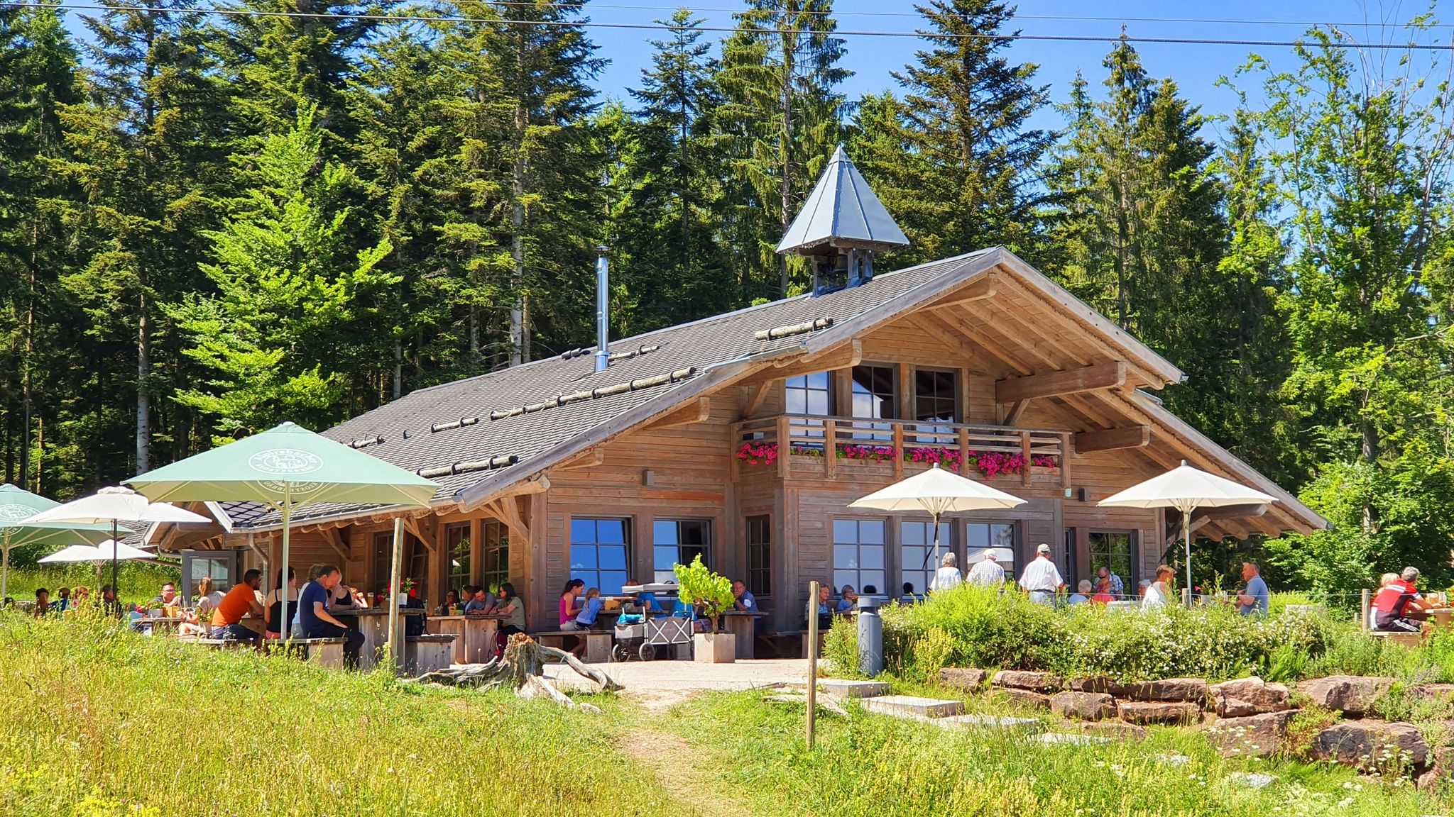
The Black Forest’s huts – moments of enjoyment & relaxation in the forest
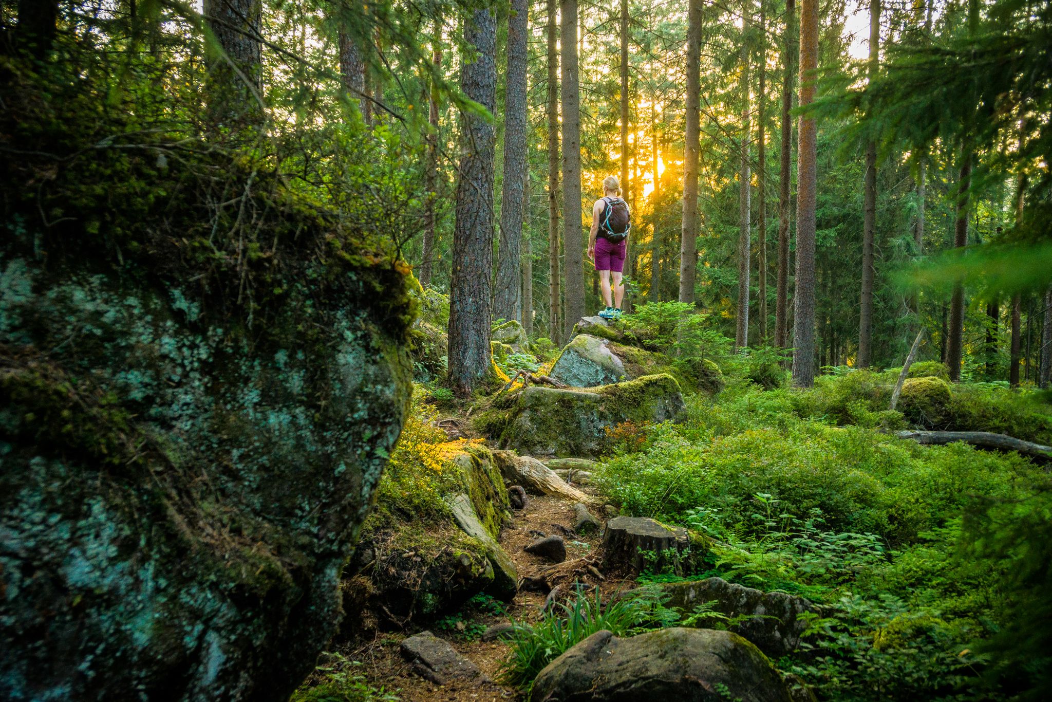
Where the forest whispers and the trails enchant
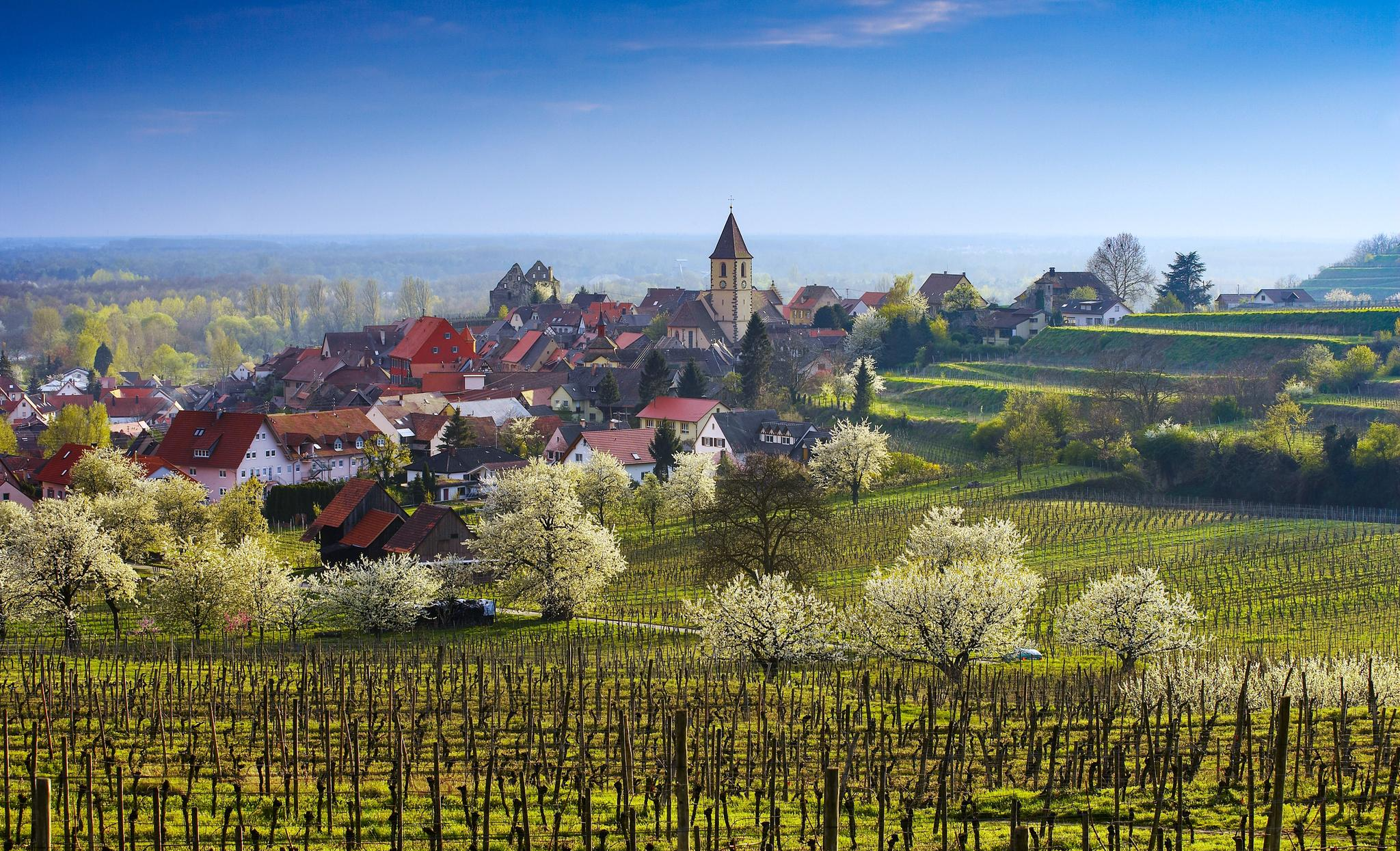
Dreaming in the valley – low-lying spring trails in the Black Forest
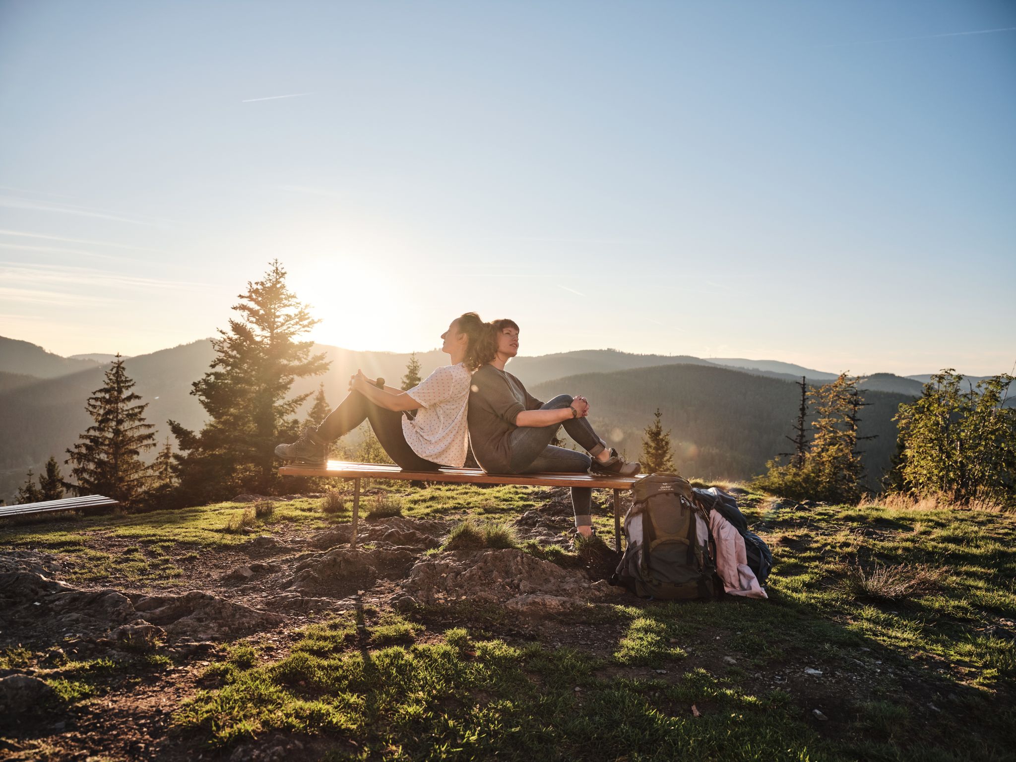
Hiking the Süden – between Black Forest, Lake Constance and Swabian Alb
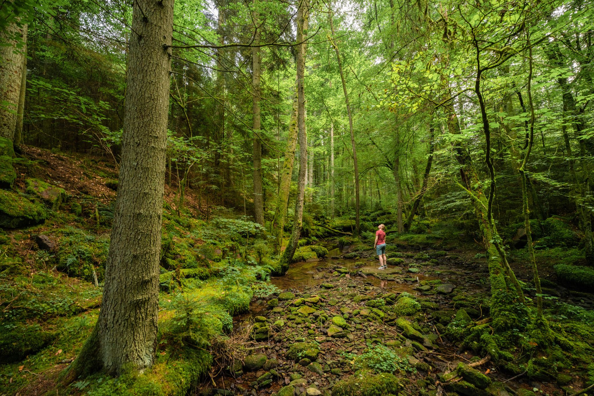
Superb adventures – the best hiking Tours in the Northern Black Forest
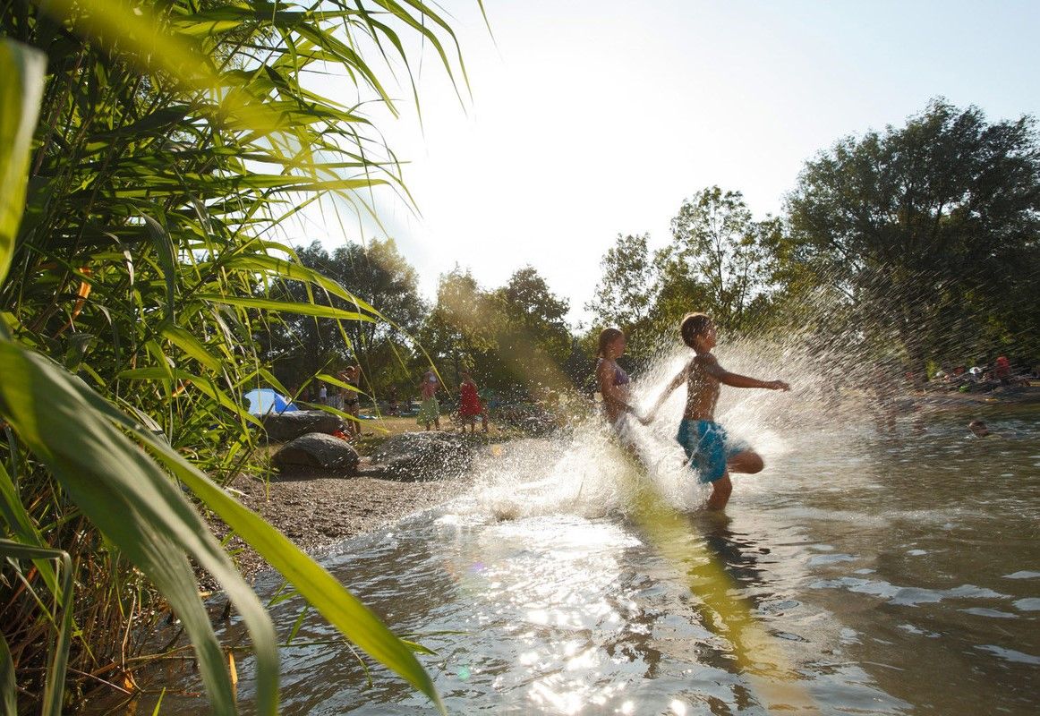
Refreshing summer hikes in Baden Wuerttemberg – bathing fun for the whole family
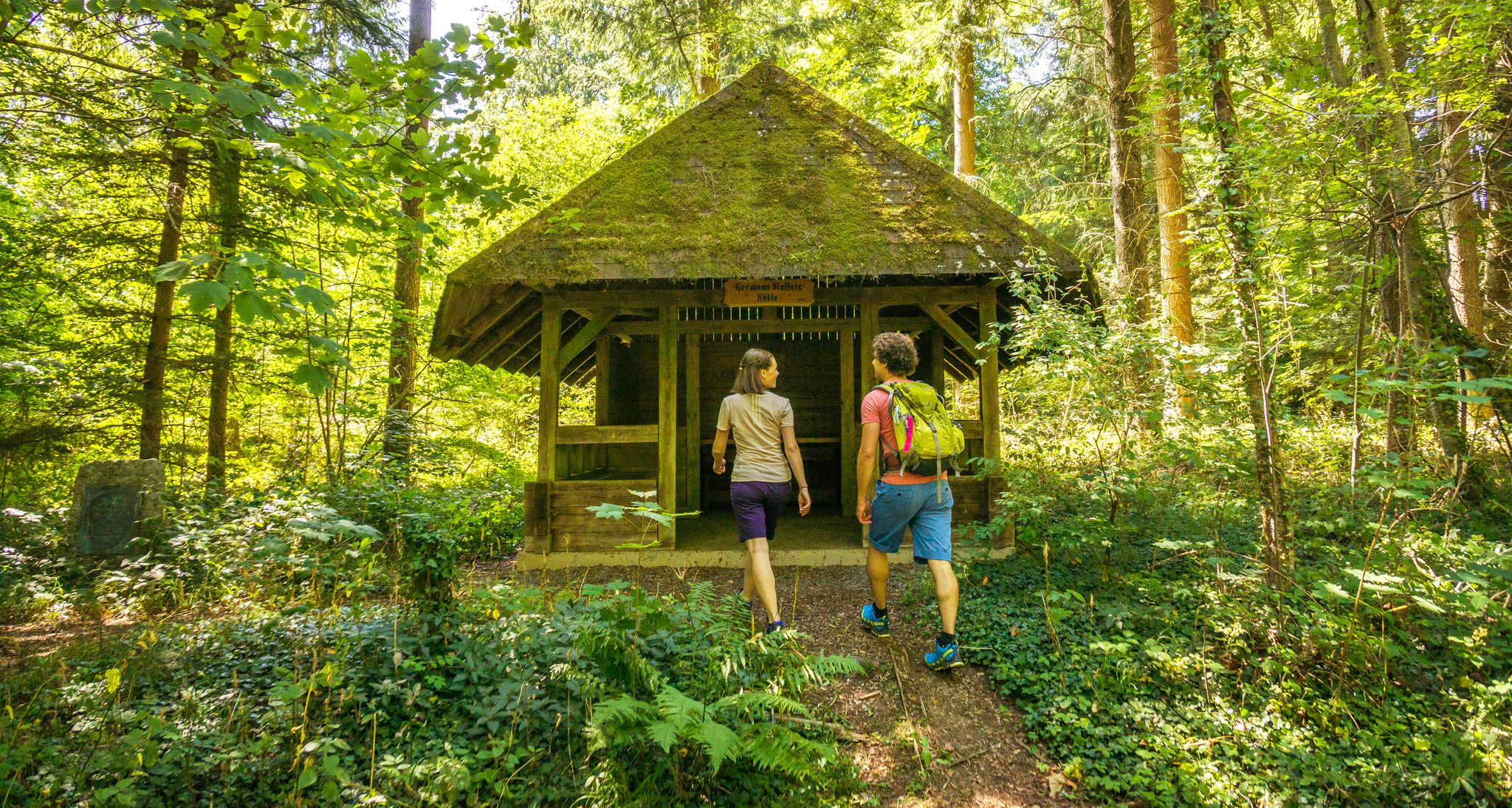
A green adventure – sustainable hiking in the Northern Black Forest
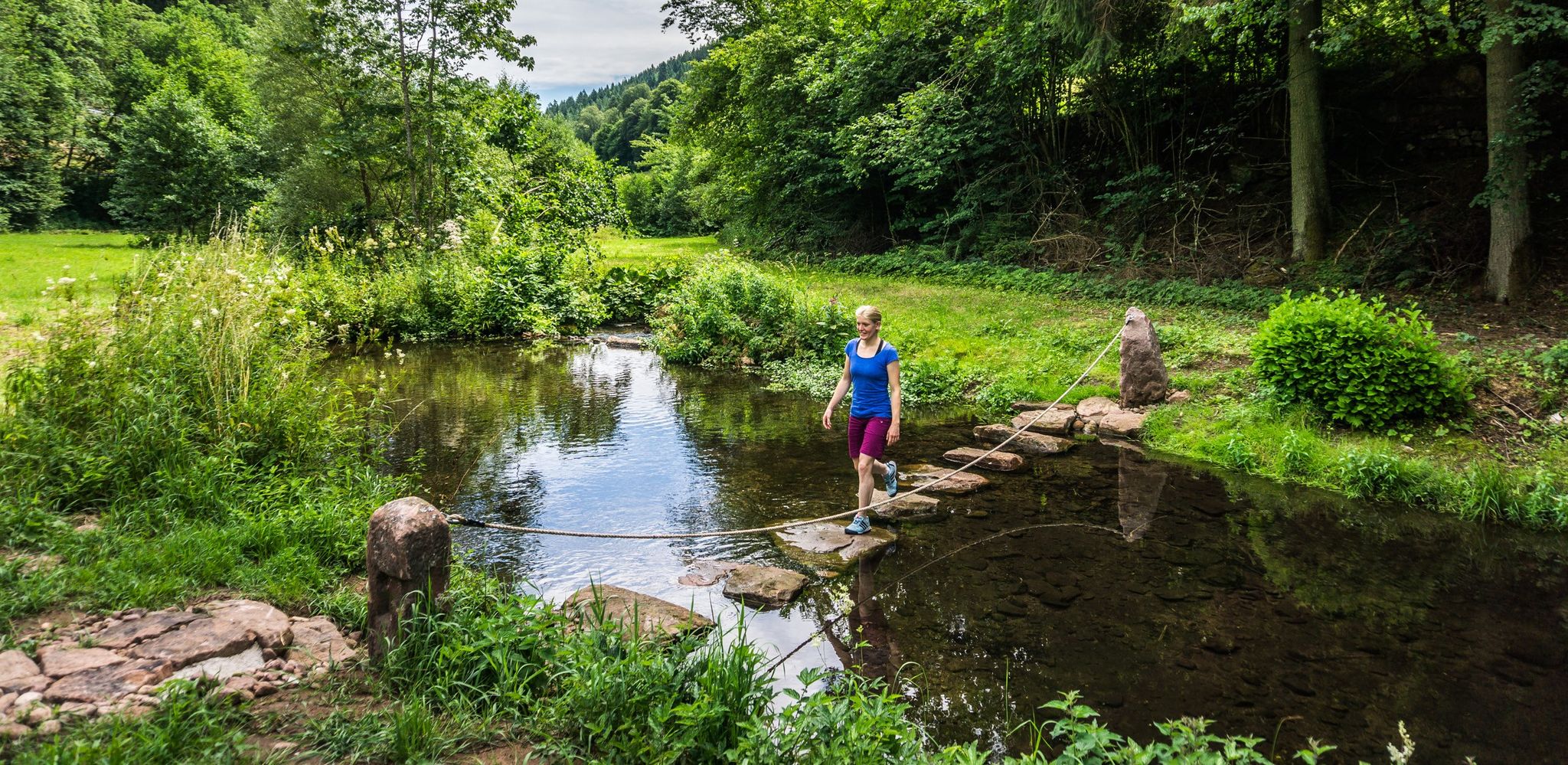
Hiking Worlds Teinachtal – a Black Forest trail paradise
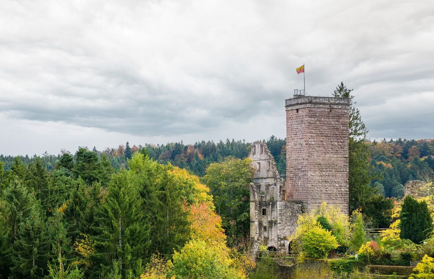
Castles, ghosts and knights – hike in Germany’s Black Forest pleasure trails
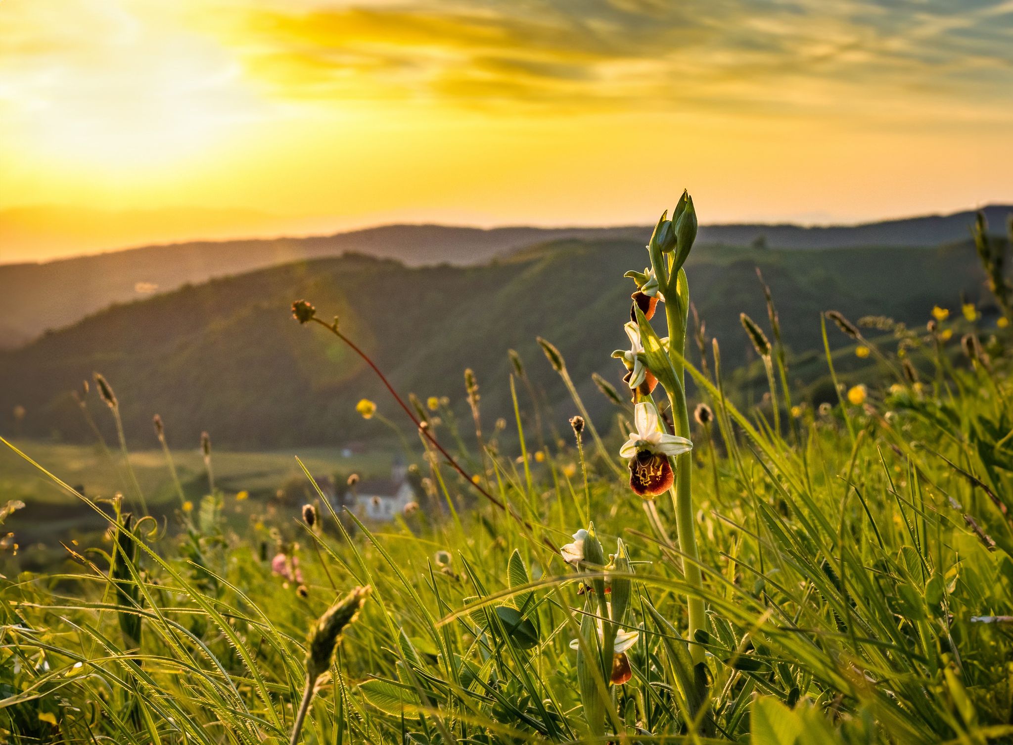
Spring fever on Germany’s Black Forest Pleasure Trails
Other adventures around Bad Teinach-Zavelstein


Tips from the Community

The cozy Grünhütte with a large terrace is accessible on foot or by bike. In winter, it is also possible to get there with cross-country skis. Authentic Swabian dishes are served on site at fair prices. The giant pancakes with blueberries are particularly well-known. In general, the portions are generous and therefore ideal for refueling. The magnificent floral decoration is particularly beautiful in summer. Further information can be found at https://gruenhuette.de/.
1
0

08/2026: Hooray, the forest sofa is back!! 😃
1
0


pleasant to ride, well-paved and the cars are not disturbing.
0
0

Softly padded paths wind through the dark fir forest 🌲🌲🌲
0
0
Well, what's supposed to be a highlight about this? 🤔
0
0
Interesting historical info about pastor Johann Christoph Blumhardt.
0
0
Frequently Asked Questions
How many gravel bike trails are available in Bad Teinach-Zavelstein?
Bad Teinach-Zavelstein offers a wide selection of gravel biking opportunities, with over 120 routes available. These range from moderate paths to more challenging climbs, catering to various skill levels.
Are there easy gravel bike trails for beginners or families?
While many routes in the region are rated moderate to difficult due to the rolling hills and varied terrain, there is at least one designated easy gravel bike trail. For example, the Nagold Valley Cycle Path – Nagold Valley cycle path loop from Calw-Heumaden offers a more accessible option, covering 31.5 km with moderate elevation.
What kind of terrain can I expect on gravel bike routes in Bad Teinach-Zavelstein?
You can expect a diverse landscape characterized by rolling hills, dense forests, and picturesque river valleys, particularly along the Enz and Nagold rivers. Routes feature extensive forest trails lined with fir and beech trees, offering both gentle ascents and more demanding climbs. The region's elevation ranges from 337 to 747 meters, ensuring varied and engaging terrain.
Are there any scenic viewpoints or natural attractions along the gravel routes?
Yes, the region is rich in natural beauty and offers several scenic viewpoints. You can find stunning views like the View of the Teinach Valley from Beilfelsen. The area is also home to the Federally protected Zavelstein crocus meadows nature reserve, adding to the picturesque scenery.
What historical landmarks or points of interest can I explore while gravel biking?
The region boasts several historical sites. A notable landmark is the Zavelstein Castle Ruins, which features a 28-meter-high tower offering magnificent panoramic views of Zavelstein and the Teinach Valley. The Historic Silver Mine Neubulach (Hella-Glück-Stollen) is another interesting historical site nearby.
Are there any waterfalls accessible from the gravel bike trails?
Yes, the area around Bad Teinach-Zavelstein features several beautiful waterfalls. You might encounter the Xanderklinge Gorge Trail, which includes waterfalls, or the Waterfall in the Kurpark in Bad Teinach. Other notable waterfalls include Knapp's Waterfall and Mittelbachfälle Waterfall.
What do other gravel bikers say about the trails in Bad Teinach-Zavelstein?
The gravel biking routes in Bad Teinach-Zavelstein are highly regarded by the komoot community, holding an average rating of 4.6 stars from over 100 reviews. Many users praise the varied terrain, extensive forest trails, and the beautiful scenery of the Black Forest, making for a rewarding cycling experience.
Are there any long-distance gravel routes in the area?
Yes, you can find several longer routes suitable for gravel biking. For instance, the Green Hut – Schweizerkopf Hut Viewpoint loop from Oberreichenbach is a substantial 63.5 km trail with significant elevation gain, typically taking over 4 hours to complete. Another option is The Enz River in Bad Wildbad – Calmbach — Village and Waterways loop from Oberreichenbach, which is 62.7 km long.
Can I find circular gravel bike routes in Bad Teinach-Zavelstein?
Many of the gravel bike routes in Bad Teinach-Zavelstein are designed as loops, allowing you to start and end at the same point. Examples include the popular Nagold Valley Cycle Path – Nagold River Cycle Path loop from Holzbronn and the View of the Swabian Jura – Bench with a view of Igelsloch loop from Oberreichenbach.
Is there public transport access to the gravel biking areas?
While specific public transport connections to every trailhead can vary, Bad Teinach-Zavelstein is generally accessible within the Baden-Württemberg region. It's advisable to check local bus or train schedules for connections to towns like Bad Teinach or Zavelstein, which can serve as starting points for your rides.
Where can I find places to eat or rest near the trails?
The Zavelstein hiking lodge, located near the Zavelstein Castle Ruins, is a popular starting point for tours and likely offers refreshment options. Additionally, the Kurpark in Bad Teinach provides a pleasant spot to relax, and you'll find various cafes and restaurants in the towns of Bad Teinach and Zavelstein.
What is the best time of year for gravel biking in Bad Teinach-Zavelstein?
The diverse landscapes and forest trails of Bad Teinach-Zavelstein are enjoyable throughout much of the year. Spring and autumn offer pleasant temperatures and beautiful scenery, with the changing foliage in autumn being particularly striking. Summer is also suitable, though it's wise to start earlier in the day to avoid the midday heat.
Most popular routes around Bad Teinach-Zavelstein
Most popular attractions around Bad Teinach-Zavelstein

Get inspired with the komoot mobile app


Explore more
Browse the best Gravel rides in other regions.
