The best gravel rides around Münchberg
4.4
(41)
152
riders
26
rides
Gravel biking around Münchberg offers diverse landscapes at the intersection of the Fichtel Mountains and the Franconian Forest. The region features varied terrain with numerous hills, extensive forests, and the Münchberger Hochfläche. This area is characterized by rolling hills, forested uplands, and unique geological formations like the Münchberger Gneismasse. Granite formations and a network of paths and tracks provide suitable conditions for gravel cyclists.
Best gravel bike trails around Münchberg
- The most popular gravel bike trail is Döbraberg – Steinbühl…
Last updated: October 6, 2026
4.7
(9)
30
riders
54.6km
03:16
690m
690m
Hard gravel ride. Very good fitness required. Mostly paved surfaces. Suitable for all skill levels.
4.4
(5)
13
riders
32.7km
02:10
440m
440m
Moderate gravel ride. Good fitness required. Mostly paved surfaces. Suitable for all skill levels.

5.0
(1)
8
riders
Moderate gravel ride. Good fitness required. Mostly paved surfaces. Suitable for all skill levels.
3.8
(12)
19
riders
45.4km
02:40
560m
560m
Hard gravel ride. Very good fitness required. Mostly paved surfaces. Suitable for all skill levels.
4.0
(1)
6
riders
24.4km
01:33
370m
370m
Moderate gravel ride. Good fitness required. Mostly paved surfaces. Suitable for all skill levels.
Get access to more routes and recommendations from other explorers.
Already have an account?
Our route recommendations are based on thousands of hikes, rides, and runs completed by other people on komoot.
Start today with a free account
Your next adventure awaits.
Popular around Münchberg


Tips from the Community

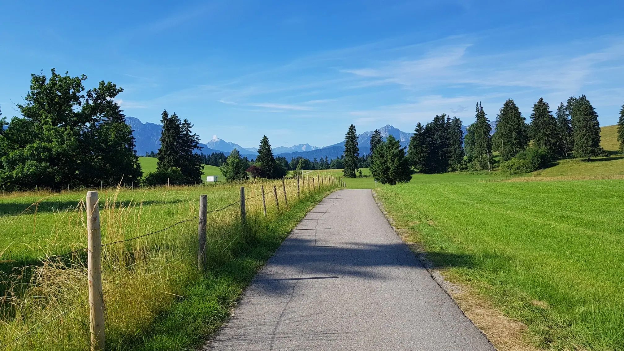
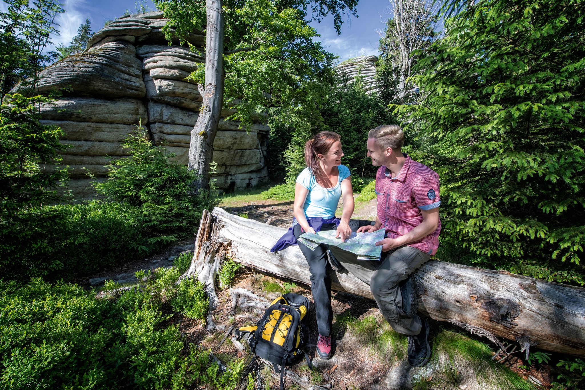
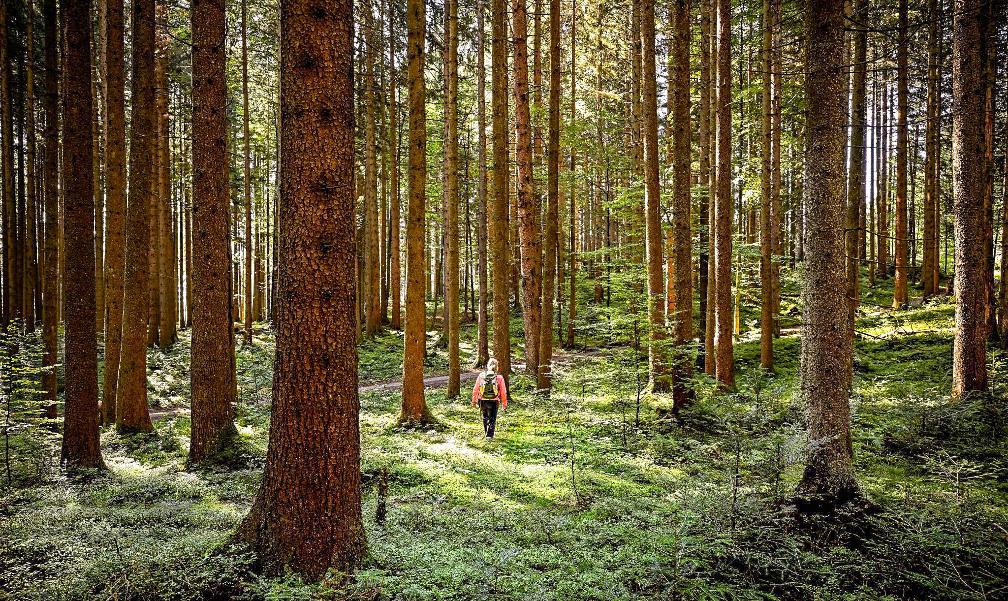
The Waldsteinhaus restaurant is located in an idyllic setting on the Großer Waldstein and has a beer garden. https://www.waldsteinhaus.com/
3
0
Beautiful excursion destination of the Weißenstädter See
3
0

Good home-style cooking, reservation recommended
0
0

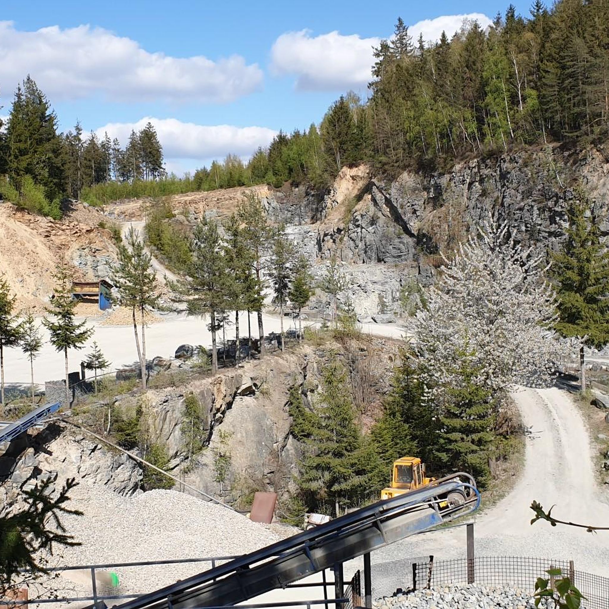
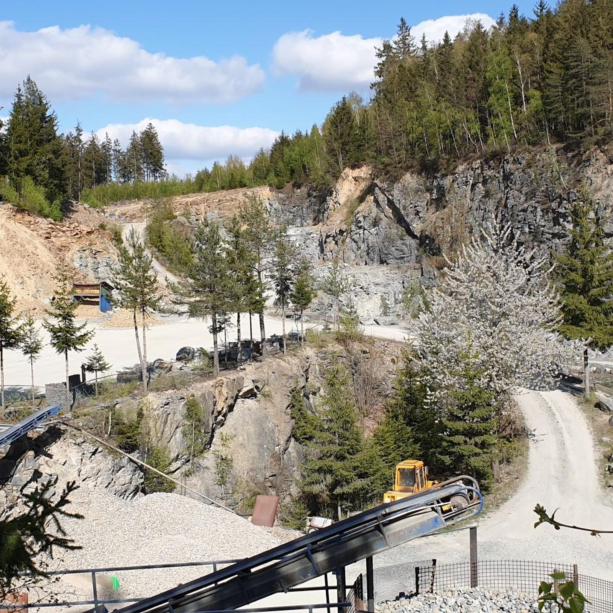
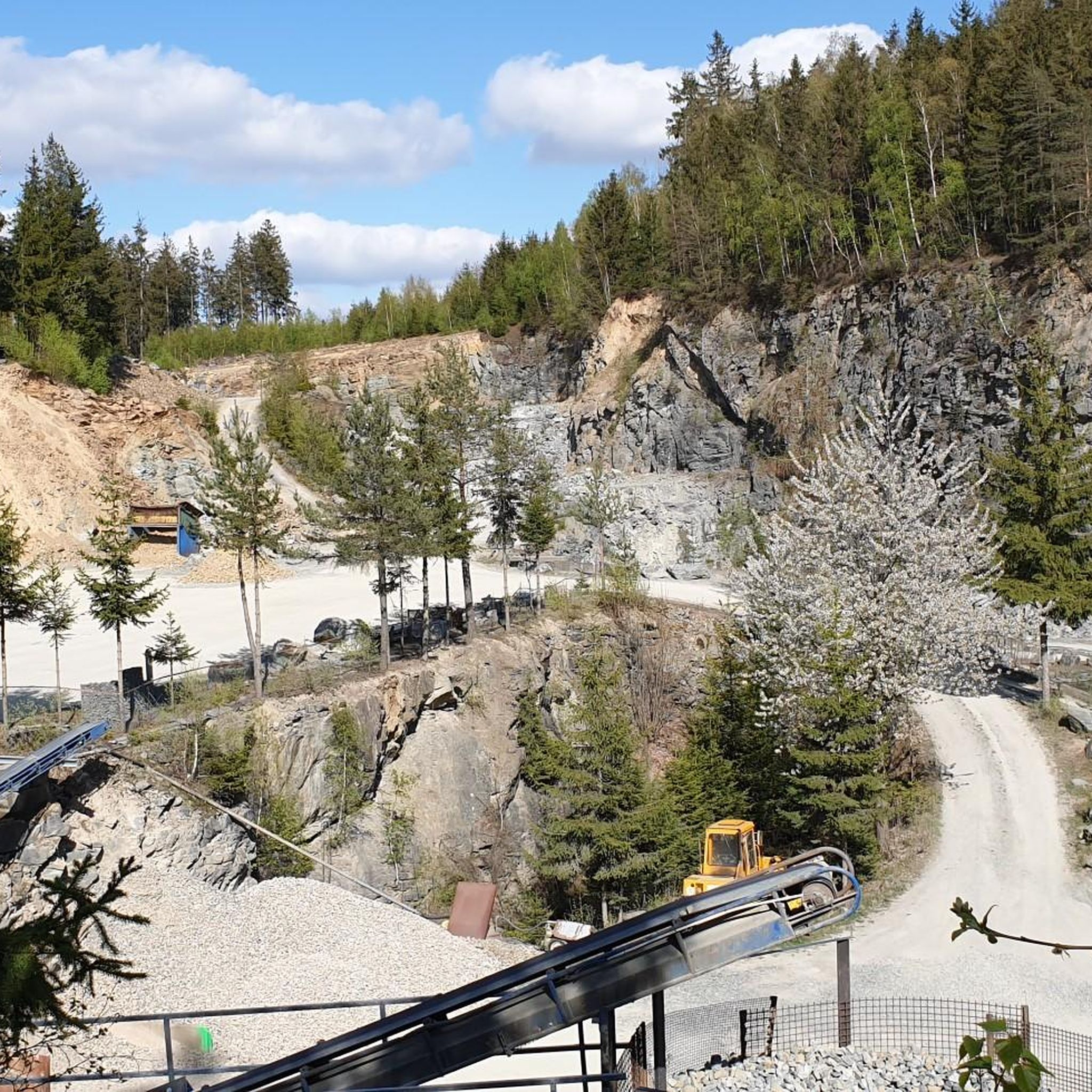
This old quarry impressed me a lot.
1
0

Wirsberg also owes its historical significance to this crossing over the Schorgast. Located on important trade routes, such as the connection between Nuremberg, Plauen, and Leipzig, simple wooden bridges had been built here repeatedly in the past. However, these were often damaged or destroyed by floods, ice drift, and the massive wear and tear from heavy wagons, which transported copper ore, among other things. At the beginning of the 18th century, it was decided to build a stone bridge here. The Schorgast Bridge, which can be seen here today and which the locals call "Wernersbruck", was built in 1711 as a two-span sandstone ashlar bridge. In 1995 and 1996, it was extensively renovated by the district of Kulmbach and the market town of Wirsberg to preserve a historical piece of Wirsberg's history.
11
0

The Steinener Brücke from 1711 over the Schorgast, also called Wernersbruck, is a technical monument of great rarity. The bridge was thoroughly renovated and restored in 1995 by the district of Kulmbach.
10
0


Frequently Asked Questions
How many gravel bike trails are available around Münchberg?
Münchberg and its surroundings offer a wide network for gravel biking. On komoot, you'll find 57 dedicated gravel bike routes, with nearly 200 cycling routes identified in total across the region, covering over 10,000 km.
Are there any easy gravel bike routes suitable for beginners or families in Münchberg?
Yes, while many routes are moderate to difficult, the region does offer paths suitable for varying skill levels. For a moderate option, consider the Schwarzenfurtweg – Schwarzholzwinkel Inn loop from Helmbrechts, which is 20.2 miles (32.5 km) long and offers scenic passages through wooded areas. The Fichtel Mountains and Franconian Forest provide a mix of terrain, so look for routes described as forest paths for a gentler experience.
What kind of landscapes can I expect to see on gravel bike trails near Münchberg?
Gravel biking around Münchberg offers diverse landscapes at the intersection of the Fichtel Mountains and the Franconian Forest. You'll encounter varied terrain with numerous hills, extensive forests, and the Münchberger Hochfläche. The Fichtel Mountains are known for their granite formations, while the Franconian Forest provides lush, wooded trails.
Are there any long-distance gravel routes around Münchberg?
Several routes offer a good distance for longer rides. For example, the View of the Untreusee – Untreusee loop from Wüstenselbitz is 36.4 miles (58.5 km) and takes about 4 hours 20 minutes. Another challenging option is the Steinbühl Quarry – Selbitztal Cycle Path loop from Münchberg, which covers 33.9 miles (54.6 km).
What are some interesting viewpoints or attractions along the gravel routes?
The region is rich in natural beauty and historical sites. You can find stunning views from the Great Waldstein or the Prinz-Luitpold Tower on Döbraberg, often called the 'Eiffel Tower of the Franconian Forest.' The Waldsteinburg (Red Castle) ruins and Epprechtstein Castle Ruins also offer historical stops with panoramic views. The wild and romantic Steinach Gorge is another unique natural monument to explore.
Are there any circular gravel bike routes in the Münchberg area?
Yes, many of the gravel routes around Münchberg are designed as loops, allowing you to start and end at the same point. Examples include the Lake Weißenstadt – Weißenstädter See loop from Münchberg and the Arnsteinfelsen Viewpoint – At the Luisentisch loop from Zell im Fichtelgebirge.
What do other gravel bikers say about the trails in Münchberg?
The gravel biking routes in Münchberg are highly rated by the komoot community, with an average score of 4.6 stars from over 30 reviews. More than 190 gravel bikers have used komoot to explore the varied terrain, often praising the diverse landscapes and the well-maintained network of paths and tracks.
What is the best time of year for gravel biking in Münchberg?
The region is generally suitable for gravel biking from spring through autumn, offering pleasant temperatures and vibrant scenery. While winter conditions can vary, some trails may be accessible, but it's always advisable to check local weather and trail conditions for snow or ice before heading out.
Are there any routes that pass by lakes or reservoirs?
Yes, the region features scenic water bodies. The View of the Untreusee – Untreusee loop from Wüstenselbitz takes you through the landscape surrounding the Untreusee. Another option is the Lake Weißenstadt – Weißenstädter See loop from Münchberg, which explores the area around Lake Weißenstadt. The Förmitztalsperre reservoir is also a notable excursion destination in the vicinity.
Can I find challenging gravel routes for advanced riders in Münchberg?
Absolutely. Münchberg offers 33 difficult routes for experienced gravel bikers. These trails often feature significant elevation gains and technical sections, providing a good challenge. The Steinbühl Quarry – Selbitztal Cycle Path loop from Münchberg, for instance, is rated as difficult with over 690 meters of elevation gain.
Are there places to stop for refreshments or cafes along the gravel routes?
While specific cafes on every route are not detailed, the region has towns and villages like Helmbrechts and Zell im Fichtelgebirge, which are common starting points or pass-throughs for routes. These locations typically offer opportunities for refreshments. The Schwarzenfurtweg – Schwarzholzwinkel Inn loop from Helmbrechts even mentions passing by an inn, suggesting potential stops.
Most popular attractions around Münchberg

Get inspired with the komoot mobile app


Explore more
Browse the best Gravel rides in other regions.
