The best gravel rides around Wurzen
4.4
(18)
86
riders
13
rides
Gravel biking around Wurzen offers a diverse landscape characterized by the Mulde river valley, numerous ponds and lakes, and rolling hills. The region provides a mix of flat riverside paths and more challenging routes with moderate elevation gains, suitable for various skill levels. Gravel bike trails in Wurzen often traverse agricultural fields, wooded sections, and quiet country roads, providing varied terrain for exploration. The area's network of paths connects natural features like the Döllnitztalsperre Dam and the Collmberg hill.
Best…
Last updated: November 2, 2026
5.0
(2)
18
riders
49.7km
03:04
430m
430m
Moderate gravel ride. Good fitness required. Mostly paved surfaces.
4.0
(1)
12
riders
62.0km
03:56
530m
530m
Hard gravel ride. Very good fitness required. Mostly paved surfaces.

5.0
(1)
6
riders
61.0km
03:52
490m
490m
Hard gravel ride. Very good fitness required. Mostly paved surfaces.
4
riders
31.3km
02:04
180m
190m
Hard gravel ride. Good fitness required. You may need to push your bike for some segments of this route.
2
riders
15.5km
01:00
90m
90m
Easy gravel ride. Mostly paved surfaces.
Get access to more routes and recommendations from other explorers.
Already have an account?
Our route recommendations are based on thousands of hikes, rides, and runs completed by other people on komoot.
Start today with a free account
Your next adventure awaits.
Popular around Wurzen
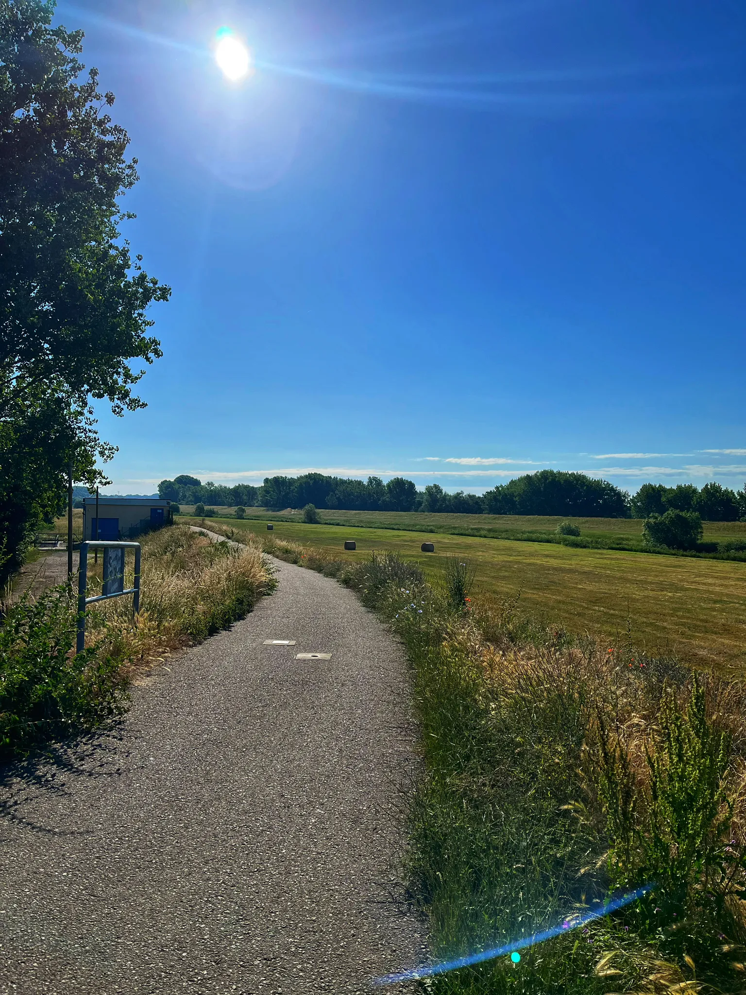
Leipzig by bike – explore industrial lands reclaimed by nature
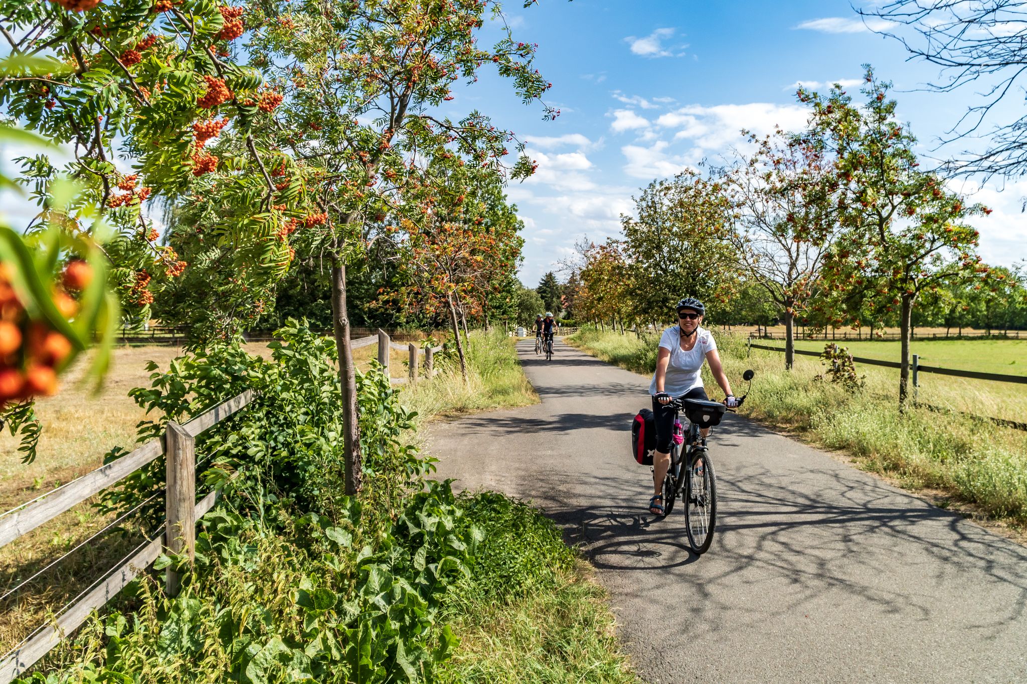
Cycling into the countryside – urban escapism around Leipzig
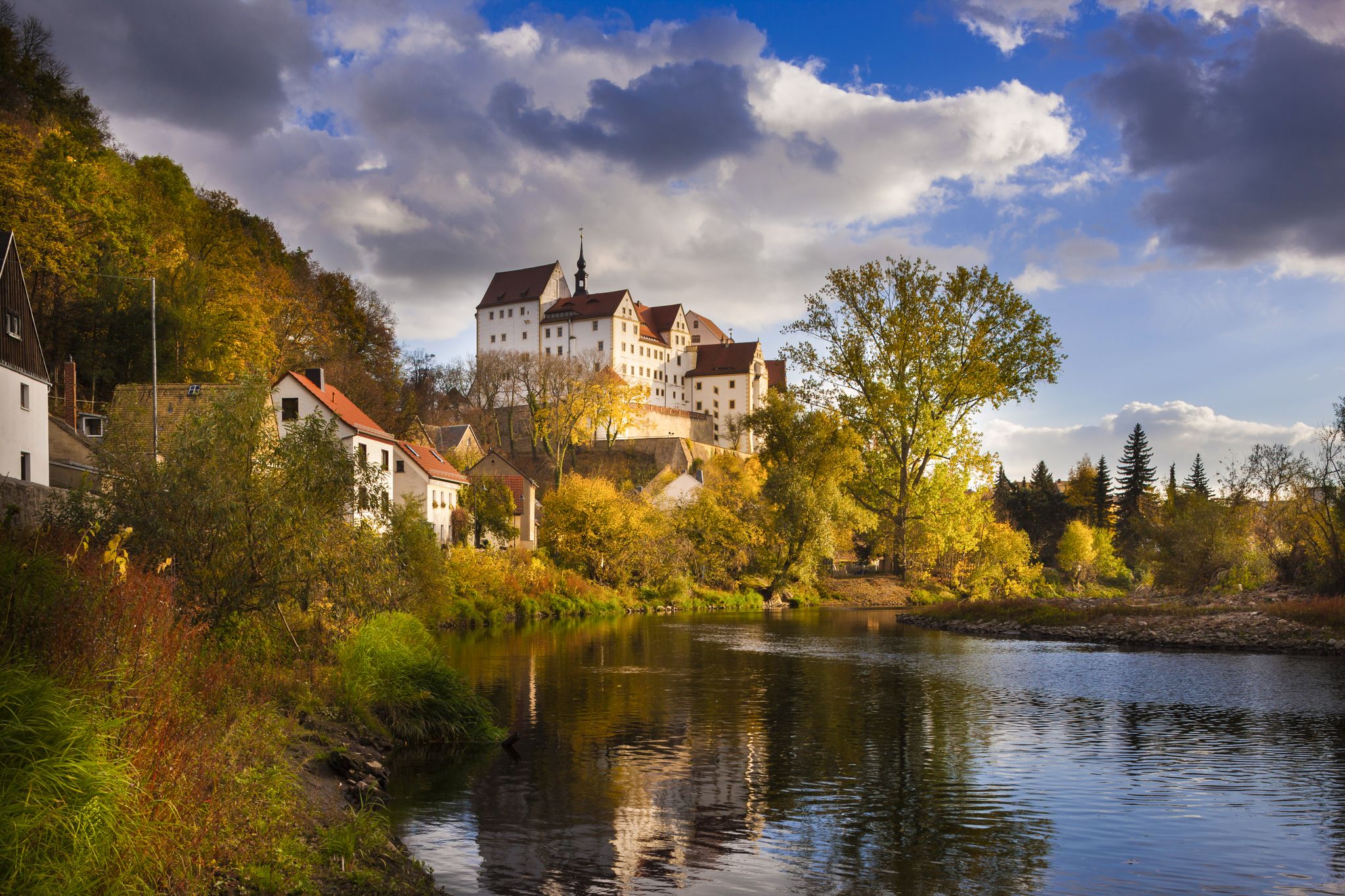
Experience art, culture and handicrafts – Germany’s Mulde Cycle Path

Rafting. Climbing. Hiking — awesome fun around Leipzig
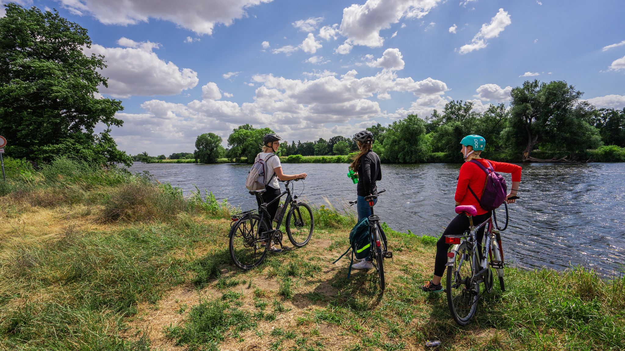
The Mulde Cycling Path
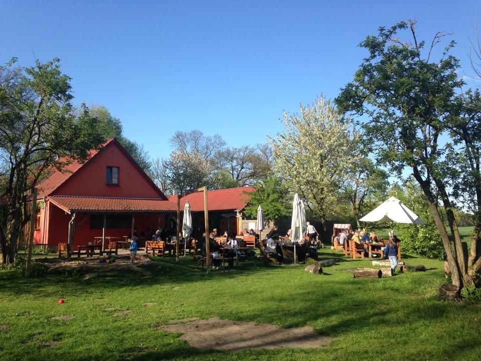
Farmer's shops — escape to the country
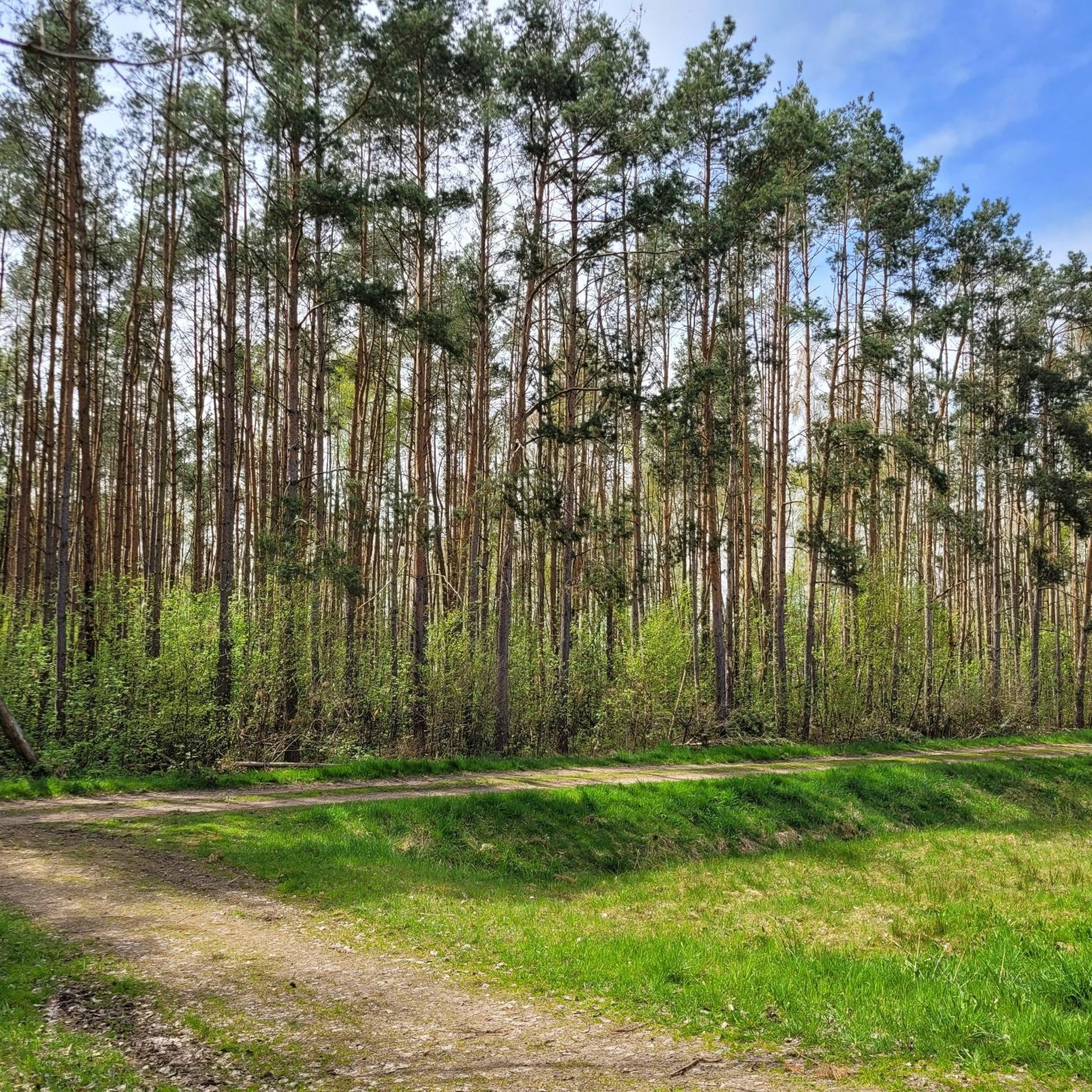
Cycling around Wurzen
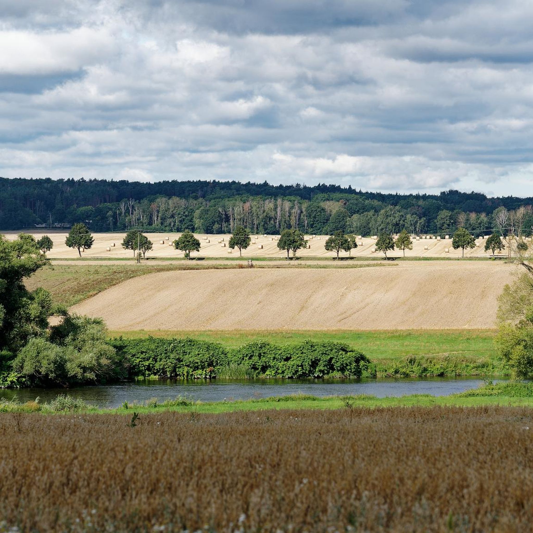
Hiking around Wurzen
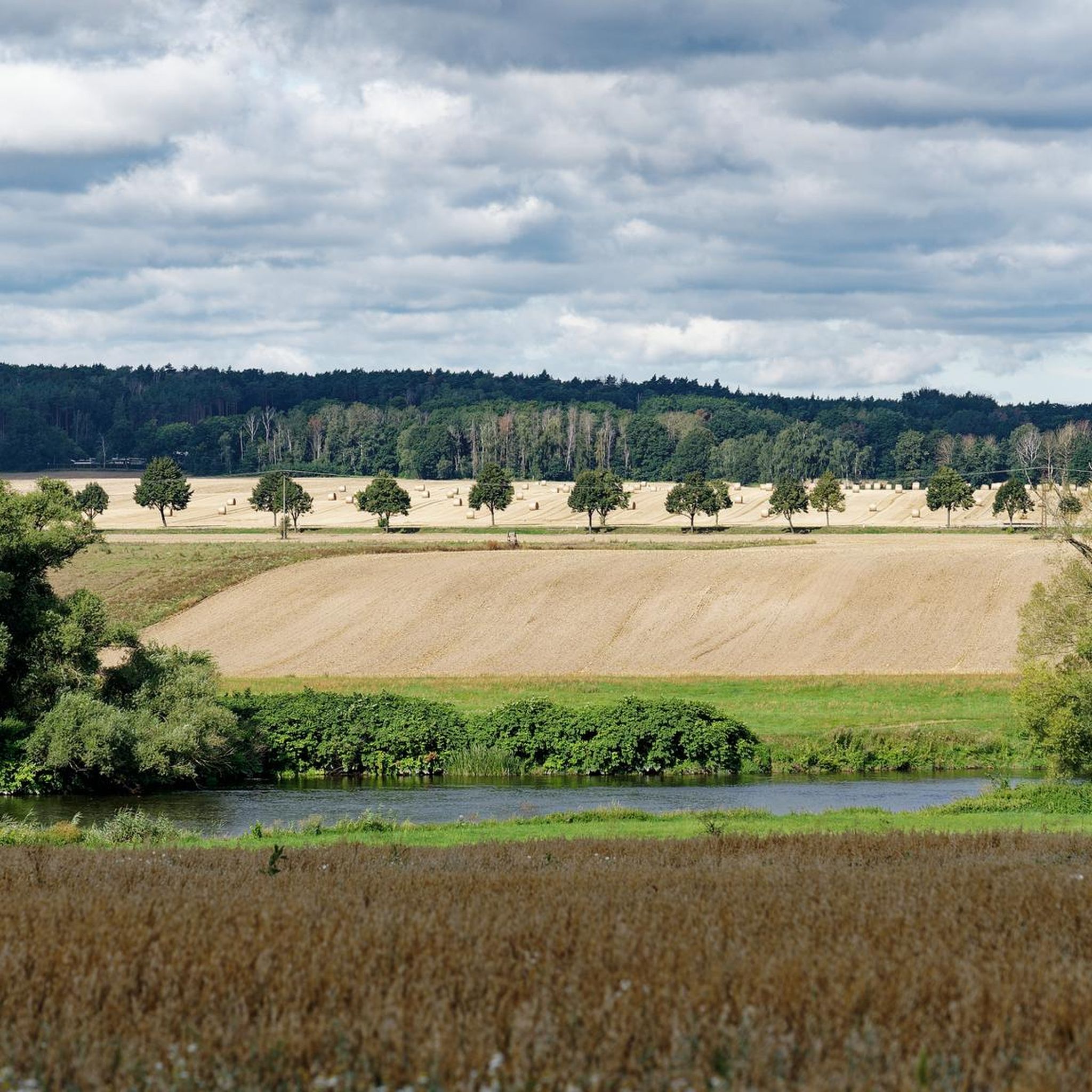
Road Cycling Routes around Wurzen
Running Trails around Wurzen
Other adventures around Wurzen


Tips from the Community

Make sure to take the right path! It might not be immediately obvious from your bike computer.
0
0

The places along the Mulde are particularly threatened by floods. During the August 2002 flood, Grimma was one of the most severely affected municipalities in Saxony, with damage totaling 250 million euros. The June 2013 flood also left behind millions in damages. In 2002, the first plans for flood protection, such as those that occur statistically every 100 years, began in Grimma. In total, the Free State of Saxony and the European Union are investing around 60 million euros in flood protection. The new flood protection facility for Grimma is technically and aesthetically very demanding. The goal was to skillfully combine flood protection, monument protection, and urban development. To find a suitable construction variant, the city was rebuilt on a 1:50 scale, and the model was flooded to simulate water currents. An underground sealing wall, reaching twelve meters deep, influences the natural groundwater flow. Eight wells control groundwater communication.
0
0

The Altstadtblick (Old Town View) is one of the most beautiful panoramas in Grimma. The view from the Köhleraussicht (Charcoal Burner's View) in the city forest is particularly impressive. From there, your gaze sweeps across the Mulde river to the historic old town with its red roofs, the Renaissance town hall, the towers of the Frauenkirche (Church of Our Lady) and Grimma Castle. Those who want to explore Grimma on foot can choose the approximately two-hour tour "Grimma von oben" (Grimma from Above). It connects the most beautiful viewpoints, including Köhleraussicht, Hängebrücke (Suspension Bridge) and Tempelberg (Temple Mountain), with impressive views of the old town and the Mulde river.
4
0
The view of the suspension bridge in Grimma is one of the city's most famous photo motifs. The suspension bridge, built in 1924, spans the Mulde river for a length of 80 meters and connects the old town with the city forest. From the bridge, you can enjoy a wide view of the Mulde, the historic city silhouette, and the Gattersburg located above. Schloss Püchau, on the other hand, is located about 10 kilometers northwest of Grimma in the village of Püchau, directly on the Mulde river. The historic castle with its park is situated in a quiet river landscape and also offers beautiful views of the Mulde valley. However, it is not visible from the Grimma suspension bridge, as the two locations are several kilometers apart.
4
0

7 stone dwarves in the Dahlener Heide. Seven Dwarfs rest stop bench. Info: Debris from a boulder that was blown up during the straightening of the Dahle stream in 1937. The stone remains of white and red granite were incorporated around the rest stop bench.
3
0

A well-maintained road with rest areas along the way.
0
0

Nice covered rest area right next door.
4
0
Frequently Asked Questions
How many gravel bike trails are available around Wurzen?
There are over 20 gravel bike routes in the Wurzen region, offering a variety of experiences from easy riverside paths to more challenging climbs through rolling hills.
Are there easy gravel bike trails suitable for beginners in Wurzen?
Yes, Wurzen offers several easy gravel bike trails perfect for beginners. You'll find 5 routes specifically rated as easy, often following the Mulde river valley or traversing flatter agricultural fields.
What are some longer gravel cycling routes in the Wurzen area?
For longer rides, consider the View of Mühlteich – Seven Stone Dwarves loop from Dahlen (Sachs), which covers approximately 62 kilometers and offers expansive views. Another excellent option is the Heron Pond – Albert Tower on Collmberg loop from Wermsdorf, a challenging 60-kilometer route with significant elevation gain.
Are there any circular gravel bike routes around Wurzen?
Many of the gravel bike routes in Wurzen are designed as loops. For example, the Heron Pond – Döllnitztalsperre Dam loop from Mutzschen is a popular circular route that takes you through varied terrain, including the Döllnitztalsperre Dam.
What kind of terrain can I expect on gravel bike trails in Wurzen?
The terrain around Wurzen is diverse, featuring a mix of flat riverside paths along the Mulde, sections through agricultural fields, wooded areas, and quiet country roads. You'll also encounter rolling hills, especially on routes leading to points like the Collmberg.
What are some notable viewpoints or landmarks along the gravel trails?
You can find several scenic viewpoints and landmarks. The Albert Tower on the Collmberg offers panoramic vistas. Other highlights include the Rabenstein Viewpoint over the Mulde River and the View of the Westbruch Lake, Waldsteinberg.
Are there any routes that pass by lakes or dams?
Yes, many routes incorporate the region's numerous ponds and lakes. The Heron Pond – Döllnitztalsperre Dam loop from Mutzschen specifically takes you past the Döllnitztalsperre Dam and Heron Pond. You might also encounter the Schwarzer Bruch Quarry Lake on some trails.
What do other gravel bikers say about the routes in Wurzen?
The gravel routes in Wurzen are highly rated by the komoot community, with an average score of 4.5 stars from over 30 reviews. Riders often praise the varied terrain, the scenic river valleys, and the well-connected network of paths that allow for diverse exploration.
Are there any family-friendly gravel bike routes in Wurzen?
While specific 'family-friendly' routes aren't explicitly categorized, the easier gravel trails, particularly those along the Mulde river valley, tend to be flatter and more suitable for families. Look for routes with less elevation gain for a more relaxed experience.
What is the best time of year for gravel biking in Wurzen?
The region is enjoyable for gravel biking throughout much of the year. Spring and autumn offer pleasant temperatures and beautiful scenery. Summer is also great, though some paths might be more exposed to the sun. Winter riding is possible, but conditions can vary, especially on unpaved sections.
Are there any routes that follow historical paths or old railway lines?
Yes, the Muldentalbahn Cycle Path – View of the Mulde loop from Machern (Sachsen) utilizes sections of the former Muldentalbahn railway line, offering a unique historical perspective alongside scenic river views.
Most popular attractions around Wurzen

Get inspired with the komoot mobile app


Explore more
Browse the best Gravel rides in other regions.
