The best gravel rides around Oberdrauburg
4.2
(15)
149
riders
8
rides
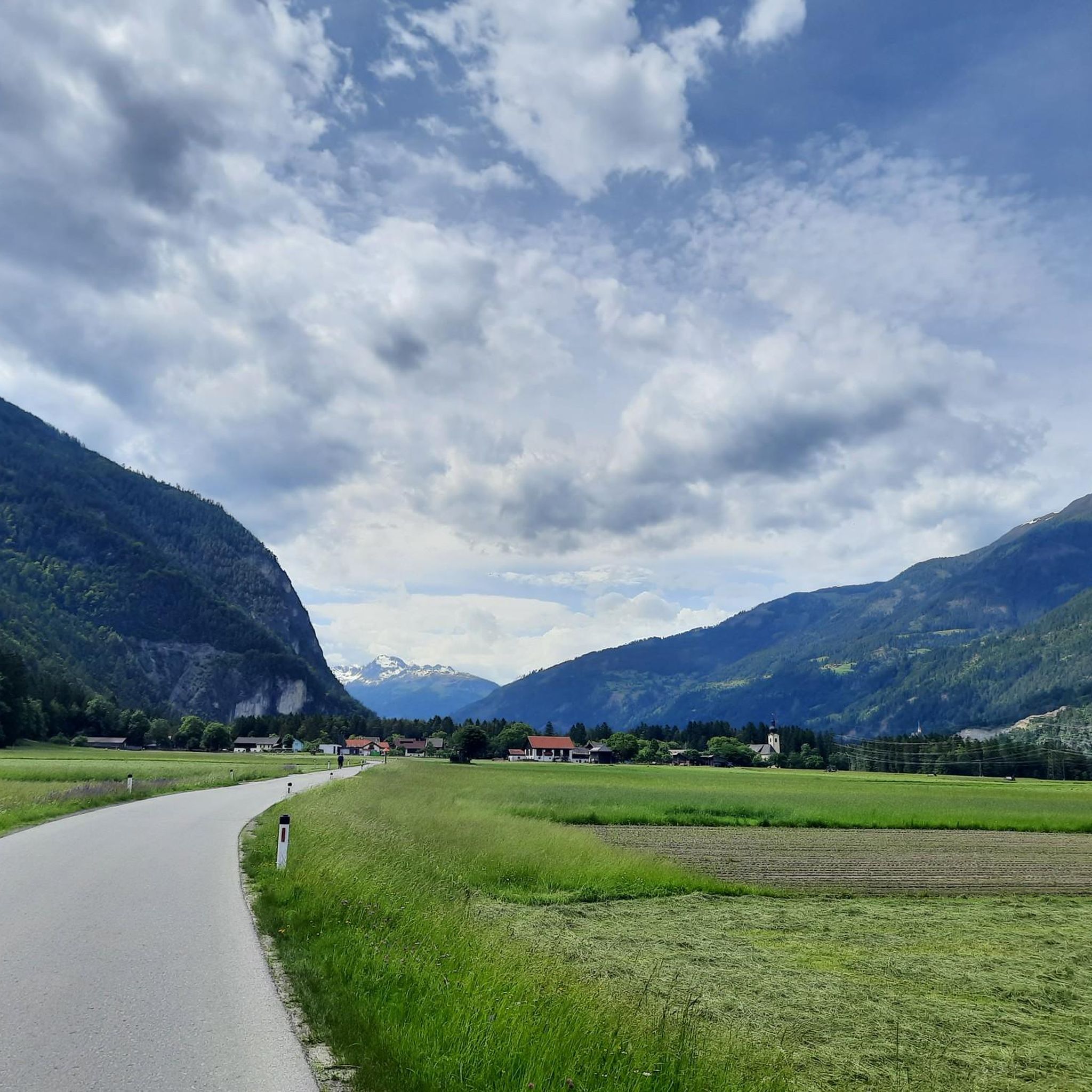
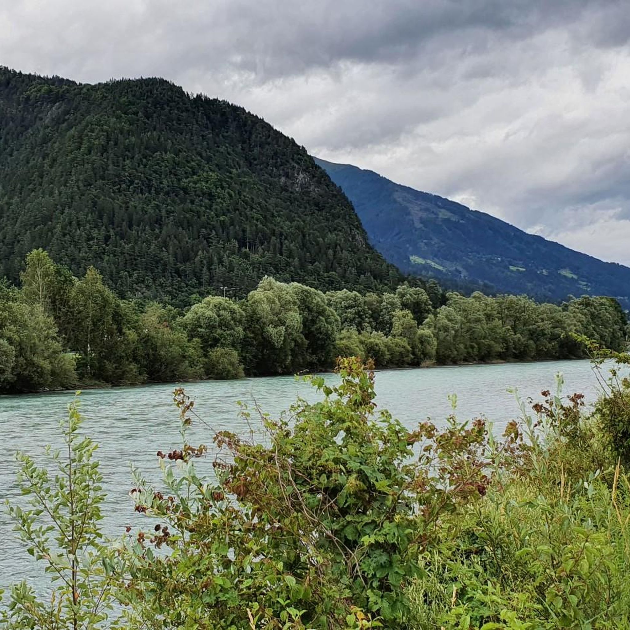
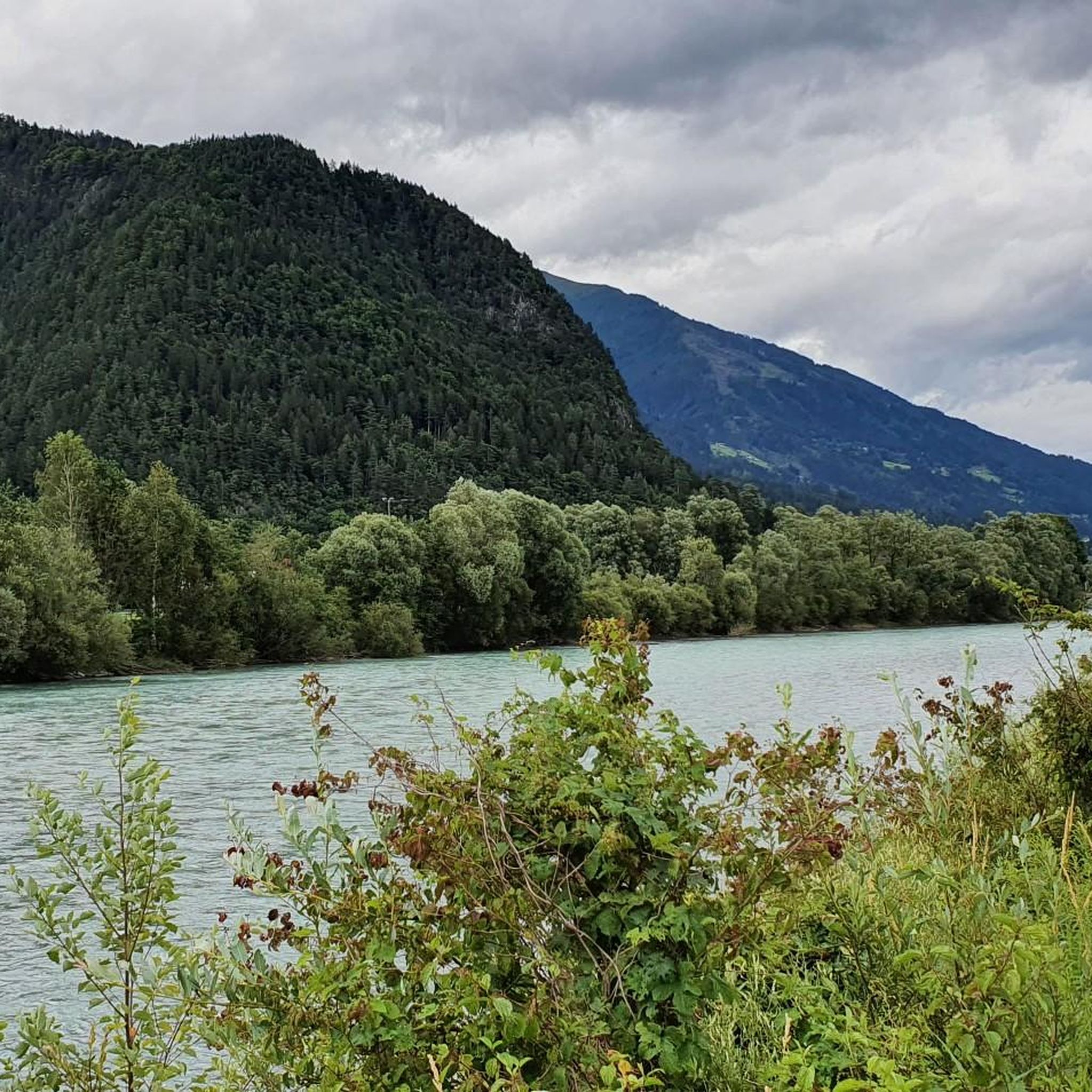
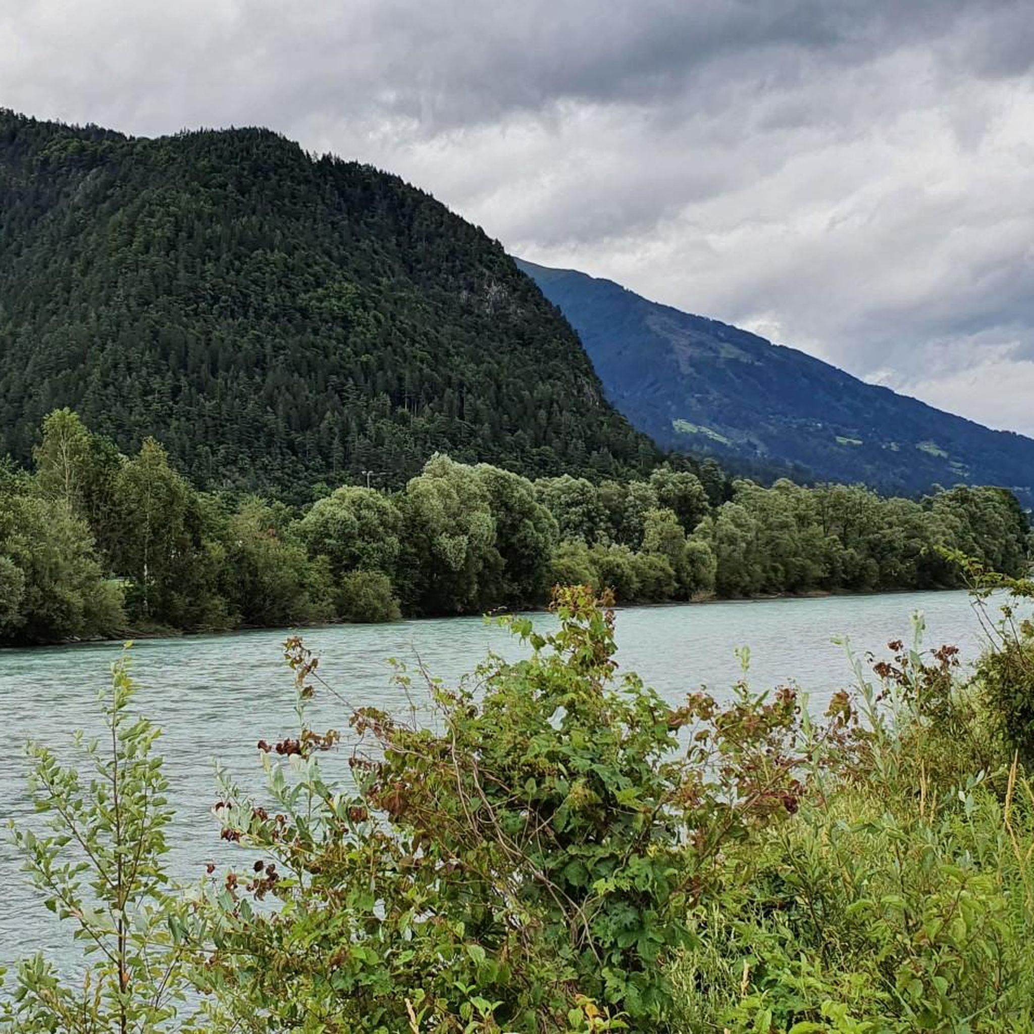
Gravel biking around Oberdrauburg offers diverse terrain in the scenic Drau Valley, nestled between the Gailtal Alps and the Kreuzeck group of the Hohe Tauern range. The region features a mix of paved and unpaved surfaces, including forest roads and trails through untouched side valleys, alongside rivers, and with mountain views. This geographic setting provides varied landscapes for gravel cyclists, from river paths to routes with significant elevation gains.
Best gravel bike trails around Oberdrauburg
- The most popular gravel bike trail is Bridge over the Möll – Möll River Near Oberkolbnitz loop from Tresdorf, a difficult 78.5 miles (126.3 km) trail that takes 9 hours 22 minutes to complete. This route offers extensive riding through varied landscapes.
- Another top favourite among local gravel bikers is Debanttal – Lienzer Hut loop from Dölsach, a difficult 22.6 miles (36.5 km) path. This trail features significant elevation gain and mountain scenery.
- Local gravel bikers also love the Russian Chapel in Amlach – View of Oberstein Castle loop from Dellach, a moderate 24.9 miles (40.2 km) trail leading through the Drau Valley, often completed in about 2 hours 45 minutes.
- Gravel biking around Oberdrauburg is defined by river valleys, alpine foothills, and forest roads. The network offers options for both moderate rides and challenging excursions requiring advanced riding skills.
- The routes in Oberdrauburg are highly rated by the komoot community with an average score of 4.5 stars from more than 20 reviews. More than 200 gravel bikers have used komoot to explore Oberdrauburg's varied terrain.
Last updated: May 21, 2026
3.0
(1)
14
riders
36.5km
03:47
1,340m
1,340m
Hard gravel ride. Very good fitness required. Mostly paved surfaces. Suitable for all skill levels.
37
riders
126km
07:30
1,370m
1,370m
Hard gravel ride. Very good fitness required. Mostly paved surfaces. Suitable for all skill levels.

Sign up for free
4.3
(3)
13
riders
40.2km
02:11
260m
260m
Moderate gravel ride. Good fitness required. Mostly paved surfaces. Suitable for all skill levels.
5.0
(1)
6
riders
39.5km
03:43
1,380m
1,380m
Hard gravel ride. Very good fitness required. Mostly paved surfaces. Suitable for all skill levels.
12
riders
46.3km
03:23
1,030m
1,030m
Hard gravel ride. Very good fitness required. Mostly paved surfaces. Suitable for all skill levels.
Get access to more routes and recommendations from other explorers.
Sign up for free
Already have an account?
Our route recommendations are based on thousands of hikes, rides, and runs completed by other people on komoot.
Start today with a free account
Your next adventure awaits.
Login or Signup
Popular around Oberdrauburg
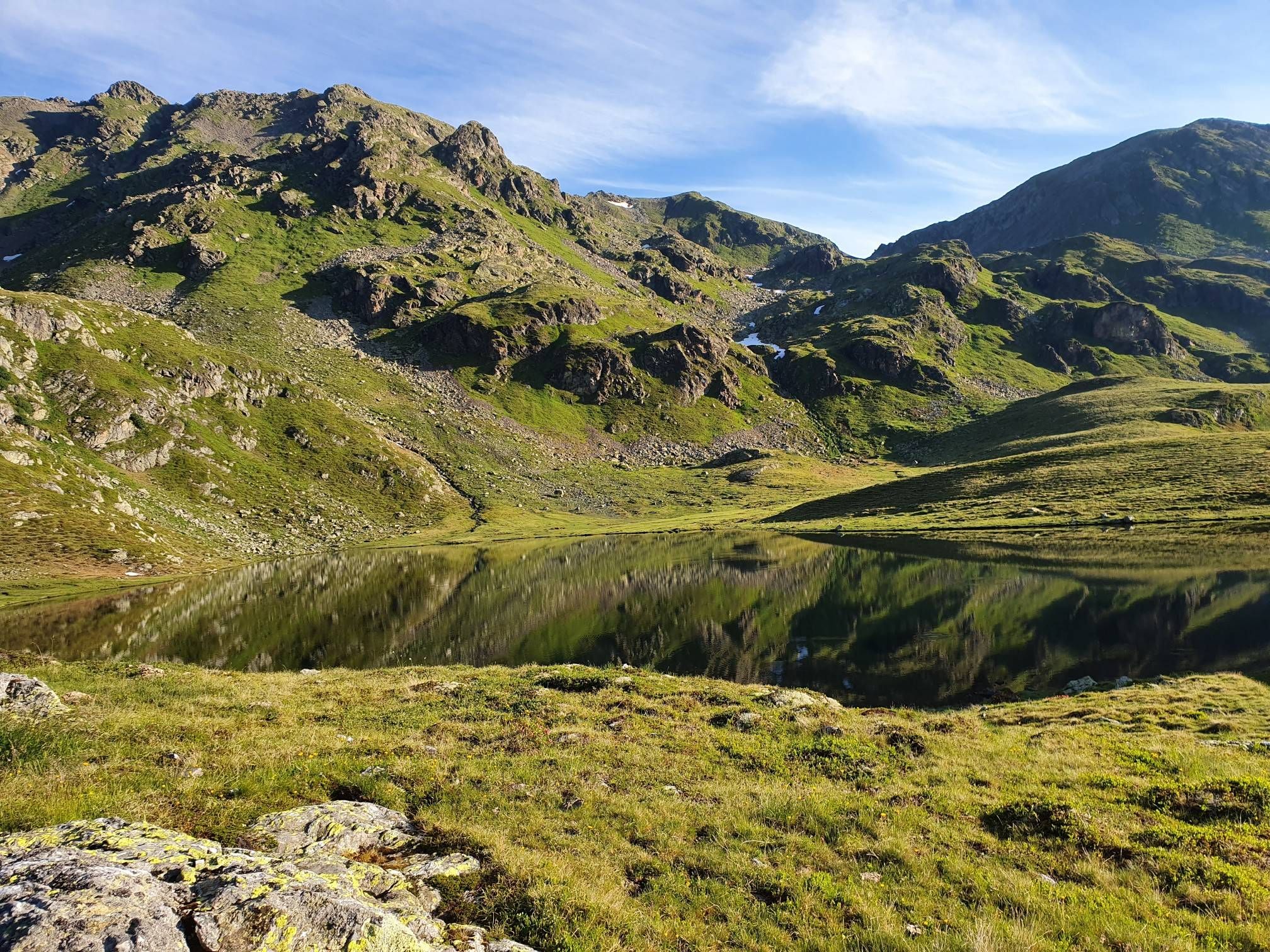
The Kreuzeck Trail — Hike remote paths in the southern Austrian Alps

Magnificent mountain biking on Austria's alpine pastures
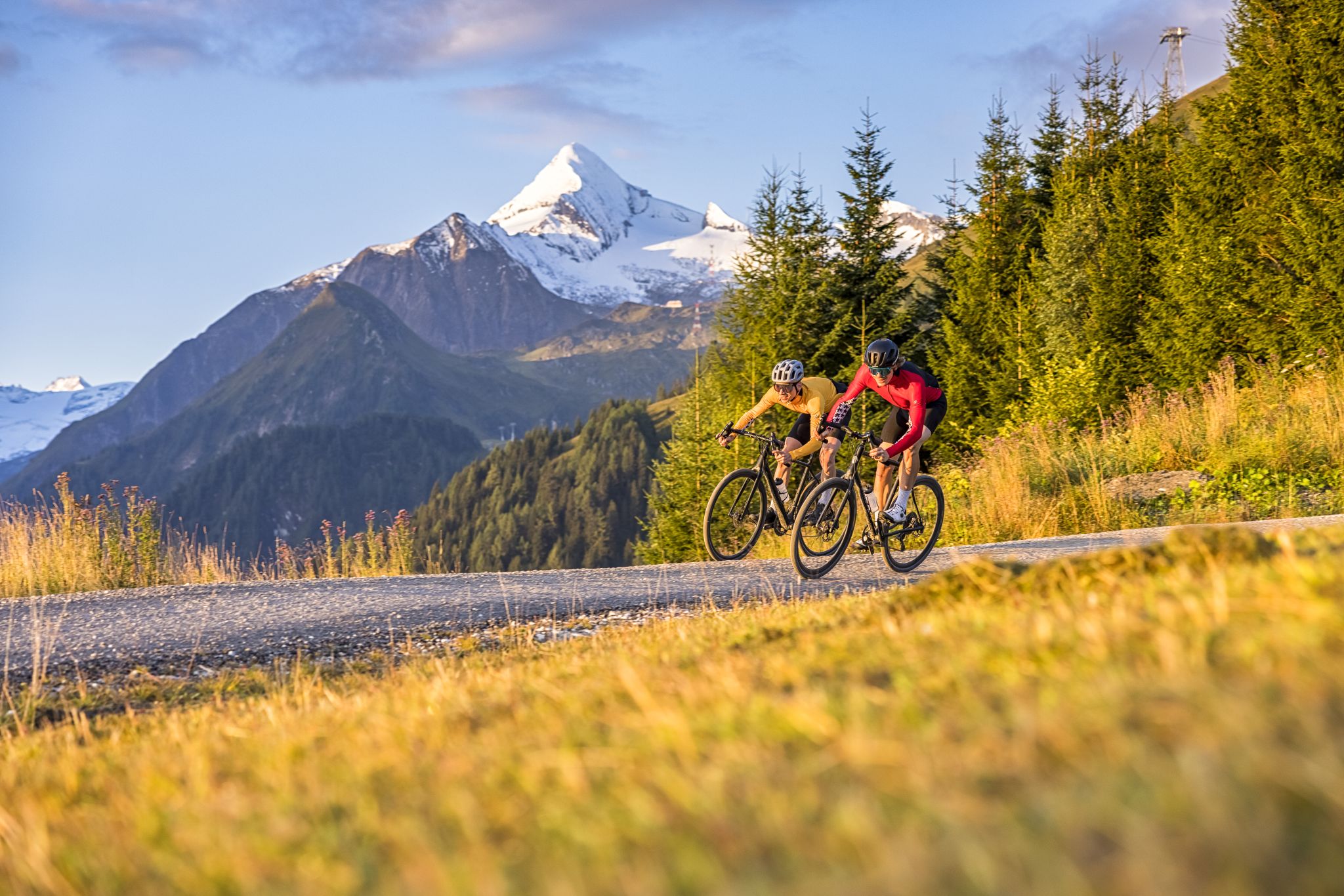
Graveltour SalzburgerLand: The Hard
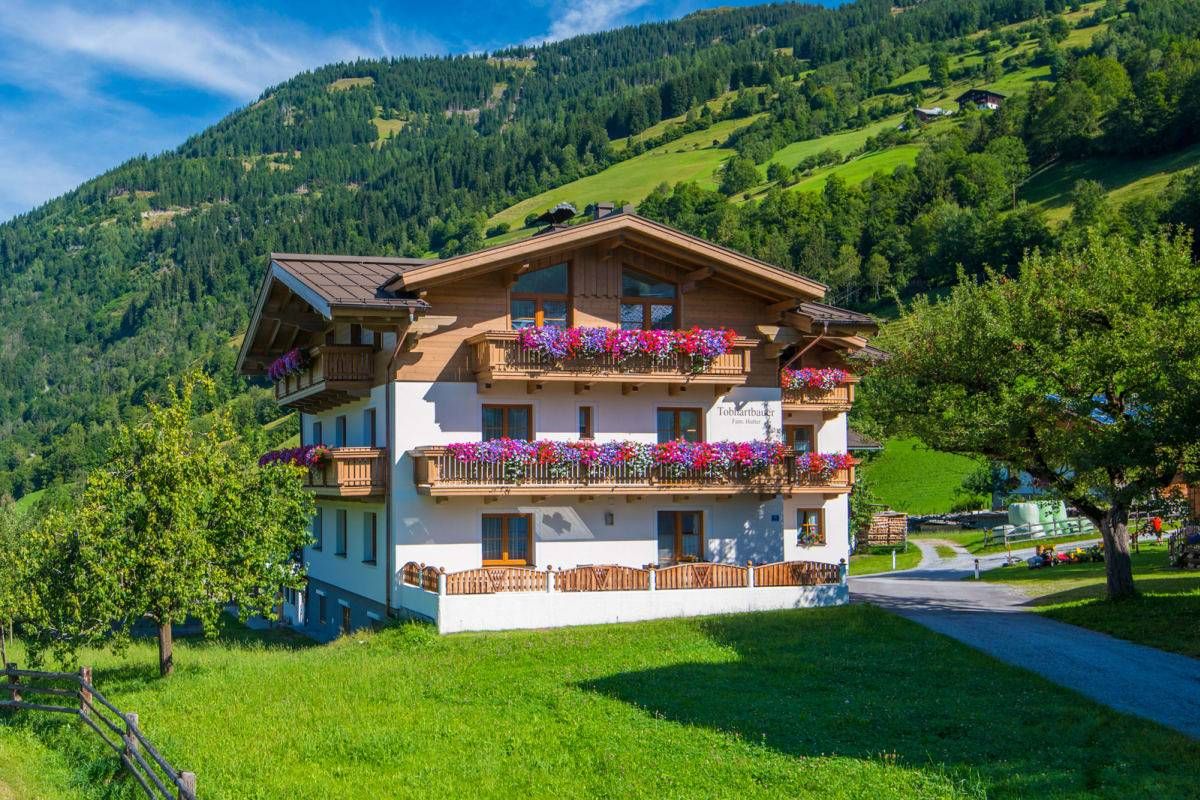
Sun, mountains, bathing fun – an active vacation on Austria's Farms
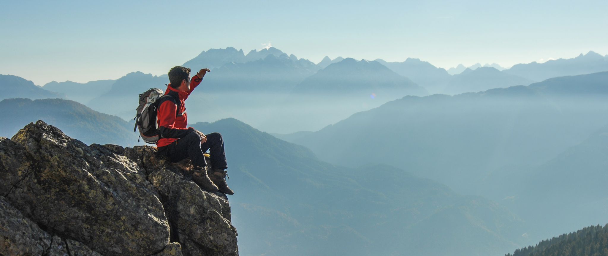
Peaks and gorges in the Hohe Tauern
Road Cycling Routes around Oberdrauburg
Hiking around Oberdrauburg
Mountain Hikes around Oberdrauburg
MTB Trails around Oberdrauburg
Cycling around Oberdrauburg
Other adventures around Oberdrauburg


Tips from the Community

a scenic highlight from the Iselsberg to the Lienzer Hütte
0
0
beautifully laid out cycle path in the Drautal
0
0
ideal starting point for all tours in the Schobergruppe
0
0

The bike path from Mallnitz to Möllbrücke is well signposted! Some sections require chunkier tires! 🚵♂️
2
0
The bike path from Mallnitz to Möllbrücke is well signposted! Some sections require chunkier tires! 🚵♂️
2
0

Should probably be "Forest path near DELLACH", Villach is about 70km away from there
0
0

a shady section, which was pleasant given today's temperatures.
0
0
Frequently Asked Questions
What kind of terrain can I expect on gravel bike trails near Oberdrauburg?
Gravel biking around Oberdrauburg offers a diverse mix of paved and unpaved surfaces. You'll encounter forest roads, scenic trails through untouched side valleys, paths alongside picturesque rivers, and routes with impressive mountain views. The region's unique location in the Drau Valley, nestled between the Gailtal Alps and the Kreuzeck group of the Hohe Tauern, provides varied landscapes for all types of gravel cyclists.
Are there gravel bike trails suitable for beginners or those looking for an easier ride?
While many routes in the region are considered difficult, there are options for moderate rides. For example, the Russian Chapel in Amlach – View of Oberstein Castle loop from Dellach is a moderate 24.9-mile (40.2 km) trail that takes about 2 hours 45 minutes, leading through the scenic Drau Valley.
What are some of the more challenging gravel bike routes around Oberdrauburg?
For experienced riders seeking a challenge, Oberdrauburg offers several difficult routes with significant elevation gains. One such route is the Bridge over the Möll – Möll River Near Oberkolbnitz loop from Tresdorf, a demanding 78.5-mile (126.3 km) trail that takes over 9 hours to complete. Another is the Debanttal – Lienzer Hut loop from Dölsach, a 22.6-mile (36.5 km) path featuring substantial climbing and mountain scenery.
What do other gravel bikers enjoy most about the trails in Oberdrauburg?
The gravel biking routes around Oberdrauburg are highly rated by the komoot community, with an average score of 4.5 stars from over 20 reviews. Cyclists often praise the varied terrain, from river valleys to alpine foothills and forest roads, as well as the stunning mountain views and opportunities for both moderate and challenging excursions.
Are there any circular gravel bike routes available?
Yes, many of the gravel bike routes around Oberdrauburg are designed as loops. For instance, the Russian Chapel in Amlach – View of Oberstein Castle loop from Dellach and the Bridge over the Möll – Möll River Near Oberkolbnitz loop from Tresdorf are popular circular options, allowing you to start and end in the same location.
What natural attractions or landmarks can I see along the gravel bike trails?
The region around Oberdrauburg is rich in natural beauty and historical sites. You can encounter impressive mountain ranges like the Kreuzeck Group (part of the Hohe Tauern National Park) and the Gailtal Alps. The Drau River is a central feature, and you might also find natural wonders like the Pirknerklamm gorge with its rainbow waterfall, or the Silberbach waterfall. For historical interest, you can explore various castles and ruins, such as the Walchenstein Castle Ruins or Schloss Stein.
Are there any mountain passes accessible by gravel bike near Oberdrauburg?
Yes, the region offers several mountain passes that can be incorporated into gravel bike tours. Notable passes include the Kerschbaumer Pass, Iselsberg Pass, and the Gailbergsattel. These passes often provide challenging climbs and rewarding panoramic views.
What is the best time of year for gravel biking in Oberdrauburg?
The best time for gravel biking in Oberdrauburg is generally from spring through autumn. During these seasons, the weather is most favorable, and the trails are typically clear of snow. The diverse terrain, from river paths to higher alpine sections, means conditions can vary, so checking local weather forecasts is always recommended.
Are there any routes that connect to larger cycling networks?
Yes, Oberdrauburg is strategically located along the 366-kilometer-long Drau Cycle Path, a significant cycling route. This provides excellent opportunities for longer tours and connections to other regions, including extensions into the Salzburg Lungau region and even towards the Lienz Dolomites and Hohe Tauern areas for multi-day adventures.
Can I find places to stop for refreshments or accommodation along the trails?
The region around Oberdrauburg is well-equipped for outdoor enthusiasts. You'll find mountain huts like the Dolomitenhütte and Karlsbader Hütte, which offer sustenance and sometimes overnight stays. Oberdrauburg itself, being a historic municipality, also provides various cafes, pubs, and accommodation options for cyclists.
Are there any gravel routes that offer views of historic castles?
Absolutely. The Russian Chapel in Amlach – View of Oberstein Castle loop from Dellach specifically highlights a View of Oberstein Castle. Additionally, the area features several other historic castles and ruins, such as Goldenstein Castle Ruins, which can be explored as part of your gravel biking adventures.
How long are the gravel bike trails around Oberdrauburg?
The length of gravel bike trails around Oberdrauburg varies significantly to suit different preferences. You can find shorter routes, like the Debanttal – Lienzer Hut loop from Dölsach at 22.6 miles (36.5 km), or much longer excursions such as the Bridge over the Möll – Möll River Near Oberkolbnitz loop from Tresdorf, which spans 78.5 miles (126.3 km).
Most popular routes around Oberdrauburg
Most popular attractions around Oberdrauburg

Get inspired with the komoot mobile app


Explore more
Browse the best Gravel rides in other regions.
