The best gravel rides around Flattach
4.5
(10)
135
riders
2
rides
Gravel biking around Flattach offers routes through varied alpine terrain, characterized by river valleys, deep gorges, and significant mountain passes. The region features challenging climbs leading to high-elevation points, with the Möll River and Groppenstein Gorge providing distinct landscape features. Trails often traverse forested areas and open alpine meadows, presenting diverse surfaces for gravel cyclists.
Best gravel bike trails around Flattach
- The most popular gravel bike trail is Bridge over the Möll – Möll River Near Oberkolbnitz loop from Tresdorf…
Last updated: July 15, 2026
5.0
(6)
82
riders
99.8km
08:47
3,940m
3,940m
Hard gravel ride. Very good fitness required. Mostly paved surfaces. Suitable for all skill levels.
3.5
(2)
25
riders
33.4km
02:09
570m
570m
Hard gravel ride. Very good fitness required. Mostly paved surfaces. Suitable for all skill levels.

Sign up for free
5.0
(2)
14
riders
32.5km
03:33
1,390m
1,390m
Hard gravel ride. Very good fitness required. Mostly paved surfaces. Suitable for all skill levels.
6
riders
26.4km
02:19
1,040m
1,040m
Hard gravel ride. Very good fitness required. Mostly paved surfaces. Suitable for all skill levels.
8
riders
28.4km
01:47
290m
290m
Moderate gravel ride. Good fitness required. Mostly paved surfaces. Suitable for all skill levels.
Our route recommendations are based on thousands of hikes, rides, and runs completed by other people on komoot.
Start today with a free account
Your next adventure awaits.
Login or Signup
Popular around Flattach
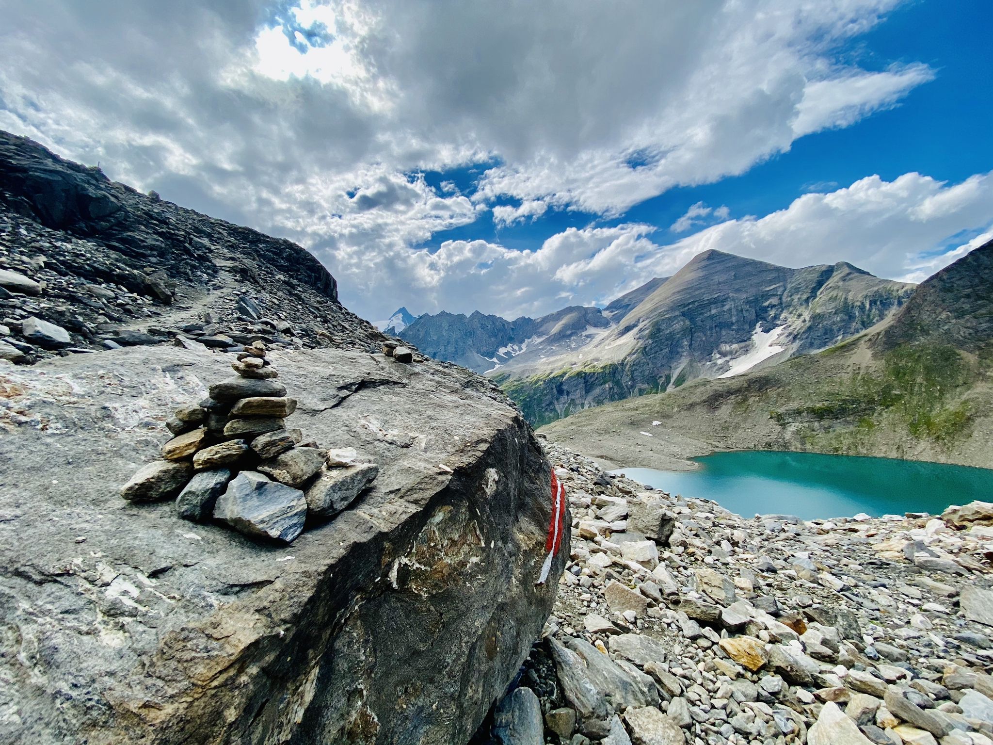
The Tauernhöhenweg – Once across the Hohe Tauern

Alpe-Adria-Trail: My long-distance hike from the glacier to the sea
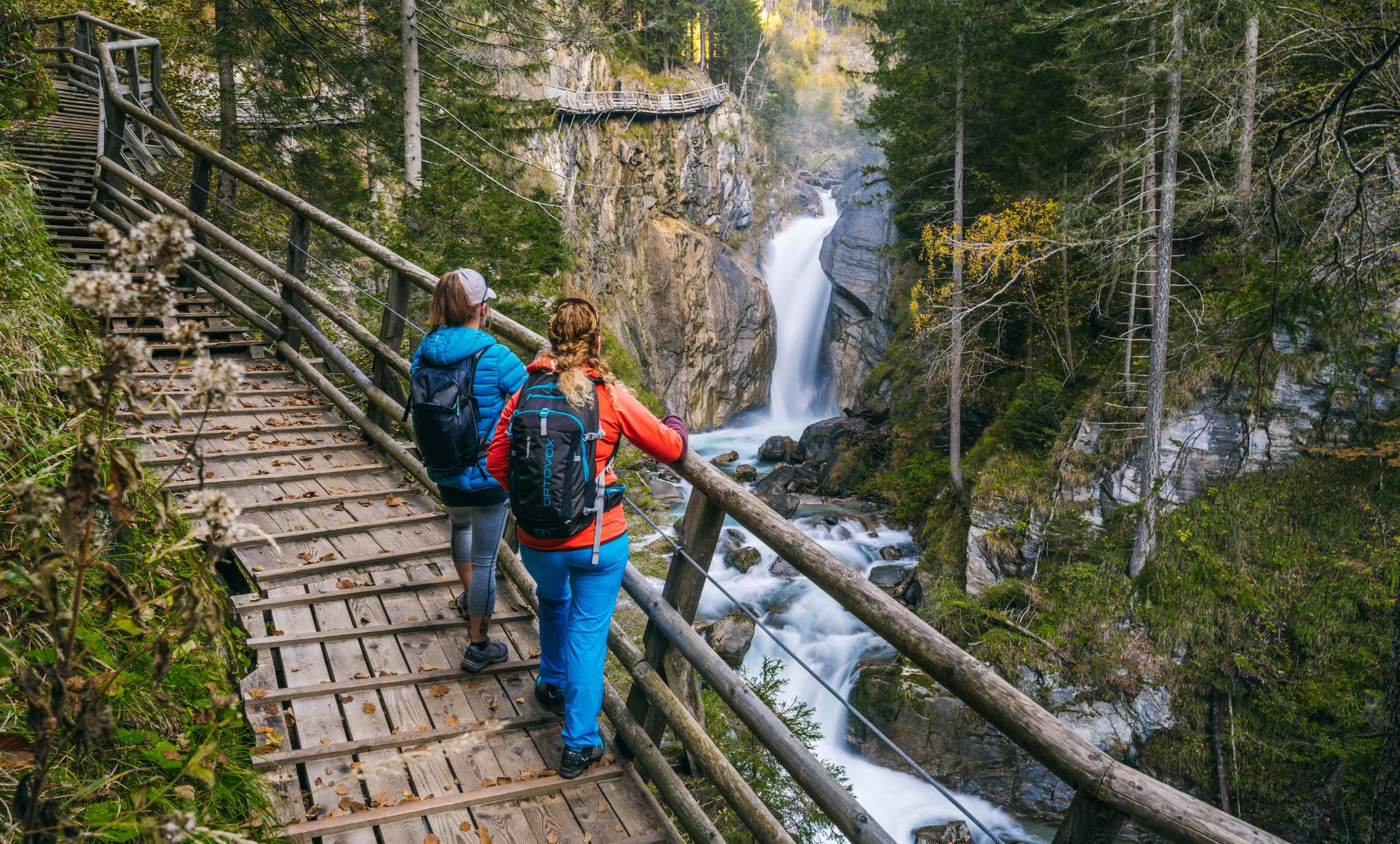
Experiences for all the senses – gorge hikes in the High Tauern

From the Grossglockner to the sea on the Alpe Adria Trail
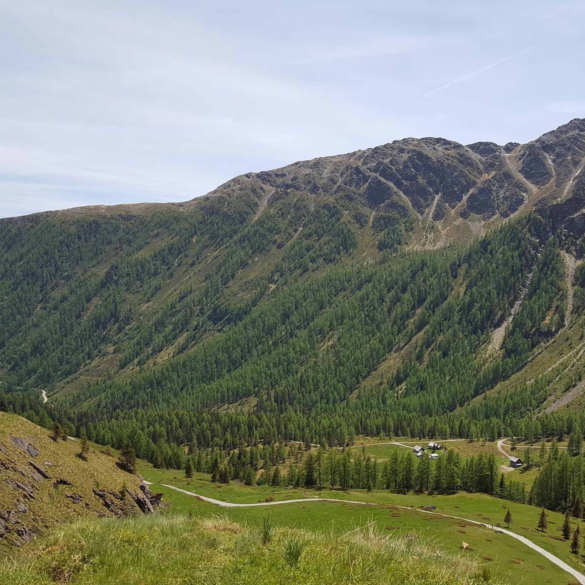
Hiking around Flattach
Road Cycling Routes around Flattach
Cycling around Flattach
MTB Trails around Flattach

Mountain Hikes around Flattach
Running Trails around Flattach
Other adventures around Flattach


Tips from the Community

Sporty climb, definitely an extra 80m altitude in the village.
4
0
Bad Gastein combines a glamorous character with morbid building substance, somehow interestingly combined. You can see that some buildings are being renovated, no comparison to 10-15 years ago.
3
0
Tosender waterfall, very impressive, and right in the middle of town.
3
0

great road for all types of bikes and still quite quiet in May
0
0
great road for all types of bikes and still quite quiet in May
0
0

What a panorama and sense of accomplishment to have made it over the pass by bike.
0
0

Ok the reel deal here it’s ! You only can buy ticket the same day in person . There’s a little box with people who sell the ticket for the car , you go there with your bike ! And for the off season people like myself ! You can take your buy any time of the year. It’s 12€ as today November 2025. So: no need to do the climb the day before to be sure to have a ticket like myself 😅
1
0

The views here are beautiful, and it's truly a fantastic region for biking.
0
0
Frequently Asked Questions
What is the general difficulty level of gravel biking trails in Flattach?
Gravel biking in Flattach offers a mix of challenges. While there are no routes explicitly rated 'easy' in our current selection, you'll find one moderate route and several difficult ones. The region is known for its varied alpine terrain, featuring significant elevation gains and diverse surfaces, making it particularly appealing for experienced riders seeking a challenge.
Are there any gravel bike trails suitable for beginners or families in Flattach?
For those looking for a less strenuous ride, the Groppenstein Gorge – Entrance to Groppenstein Gorge loop from Obervellach is rated as moderate. This 17.6-mile (28.4 km) path explores the area around the Groppenstein Gorge and offers a mix of terrain that could be suitable for fit beginners or families with some gravel biking experience, providing a good introduction to the region's landscapes.
What are the typical distances for gravel bike trails around Flattach?
The gravel bike trails around Flattach vary significantly in length. You can find shorter routes like the Mallnitz Village Center – Jamnigalm (1,748 m) loop from Mallnitz-Obervellach at 12.2 miles (19.6 km), or more extensive journeys such as the Bridge over the Möll – Möll River Near Oberkolbnitz loop from Tresdorf, which spans 78.5 miles (126.3 km).
Are there loop gravel routes available in Flattach?
Yes, many of the gravel routes in Flattach are designed as loops, allowing you to start and finish at the same point. Examples include the View of the Hochtor Pass – Hochtor Pass Summit (2,504 m) loop from Skihütte Fleißalm, which takes you through high alpine landscapes, and the Bad Gastein Waterfall – Scenic view of Bad Gastein loop from Böckstein.
What kind of scenery can I expect on gravel bike trails in Flattach?
Gravel biking in Flattach offers incredibly diverse scenery. You'll traverse river valleys, deep gorges like the Groppenstein Gorge, and ascend significant mountain passes. Expect a mix of forested areas, open alpine meadows, and stunning views of the surrounding peaks, including high-elevation points like the Hochtor Pass.
What do other gravel bikers enjoy the most about gravel biking in Flattach?
The gravel biking routes in Flattach are highly rated by the komoot community, with an average score of 4.4 stars from over 10 reviews. Riders often praise the varied terrain, the challenging climbs, and the breathtaking alpine landscapes, particularly routes that follow the Möll River or explore high mountain passes.
Are there any notable landmarks or attractions along the gravel bike routes in Flattach?
Yes, the region around Flattach is rich in natural beauty and historical sites. You can explore impressive mountain passes such as the Ascent to Franz-Josefs-Höhe via Großglockner High Alpine Road or the Korntauern Pass. Additionally, there are historic castles like the Ruins of Oberfalkenstein Castle and Unterfalkenstein Castle that add cultural interest to your rides.
What is the best time of year for gravel biking in Flattach?
The best time for gravel biking in Flattach is typically from late spring to early autumn (May to October). During these months, the weather is generally more stable, and higher alpine passes are usually free of snow, offering access to the full network of trails. Always check local weather and trail conditions before heading out, especially for high-altitude routes.
Are there any specific routes that offer scenic viewpoints?
Many routes in Flattach offer spectacular views due to the region's mountainous terrain. The View of the Hochtor Pass – Hochtor Pass Summit (2,504 m) loop from Skihütte Fleißalm is particularly known for its high alpine vistas. Additionally, routes exploring areas like the View of Falkenstein Castle often provide panoramic outlooks.
Can I find challenging routes for advanced gravel bikers in Flattach?
Absolutely. Flattach is well-suited for advanced gravel bikers, with a majority of its routes rated as difficult. Trails like the Bridge over the Möll – Möll River Near Oberkolbnitz loop from Tresdorf, with its extensive distance and considerable elevation gain, or the high alpine traverse of the View of the Hochtor Pass – Hochtor Pass Summit (2,504 m) loop from Skihütte Fleißalm, offer significant challenges for experienced riders.
Are there options for wild swimming near gravel routes in Flattach?
While specific wild swimming spots are not detailed for every route, the region is characterized by the Möll River and various alpine streams. Many routes follow river valleys, and with careful research, you might find suitable, safe, and permitted spots for a refreshing dip. Always prioritize safety and respect local regulations regarding natural water bodies.
What kind of surfaces can I expect on the gravel trails?
The gravel trails in Flattach feature diverse surfaces typical of alpine regions. You'll encounter a mix of well-maintained gravel paths, forest roads, and potentially some rougher, unpaved sections as you ascend into higher elevations or traverse more remote areas. This variety contributes to the challenging and engaging nature of gravel biking in the region.
Most popular attractions around Flattach

Get inspired with the komoot mobile app


Explore more
Browse the best Gravel rides in other regions.
