The best gravel rides around Bolsterlang
4.6
(648)
4,612
riders
85
rides
Gravel biking around Bolsterlang offers routes through the scenic Allgäu region, characterized by rolling hills, river valleys, and forested sections. The landscape provides varied terrain suitable for gravel bikes, from well-maintained paths along waterways to more challenging ascents through alpine foothills. Bolsterlang is situated within the Nagelfluhkette Nature Park, offering a preserved natural environment. This area features a network of trails that connect villages and natural landmarks, providing diverse riding experiences.
Best gravel bike trails around Bolsterlang
- The most popular…
Last updated: October 5, 2026
4.9
(27)
198
riders
Hard gravel ride. Very good fitness required. Mostly paved surfaces. Suitable for all skill levels.
4.8
(23)
116
riders
56.2km
03:12
670m
670m
Hard gravel ride. Very good fitness required. Mostly paved surfaces. Suitable for all skill levels.

4.7
(22)
157
riders
Moderate gravel ride. Good fitness required. Mostly paved surfaces. Suitable for all skill levels.
4.7
(13)
94
riders
54.1km
03:45
1,220m
1,220m
Hard gravel ride. Very good fitness required. Mostly paved surfaces. Suitable for all skill levels.
4.6
(22)
100
riders
41.2km
02:17
470m
470m
Hard gravel ride. Very good fitness required. Mostly paved surfaces. Suitable for all skill levels.
Get access to more routes and recommendations from other explorers.
Already have an account?
Our route recommendations are based on thousands of hikes, rides, and runs completed by other people on komoot.
Start today with a free account
Your next adventure awaits.
Popular around Bolsterlang

The Best of Allgäu – Tour around Oberallgäu
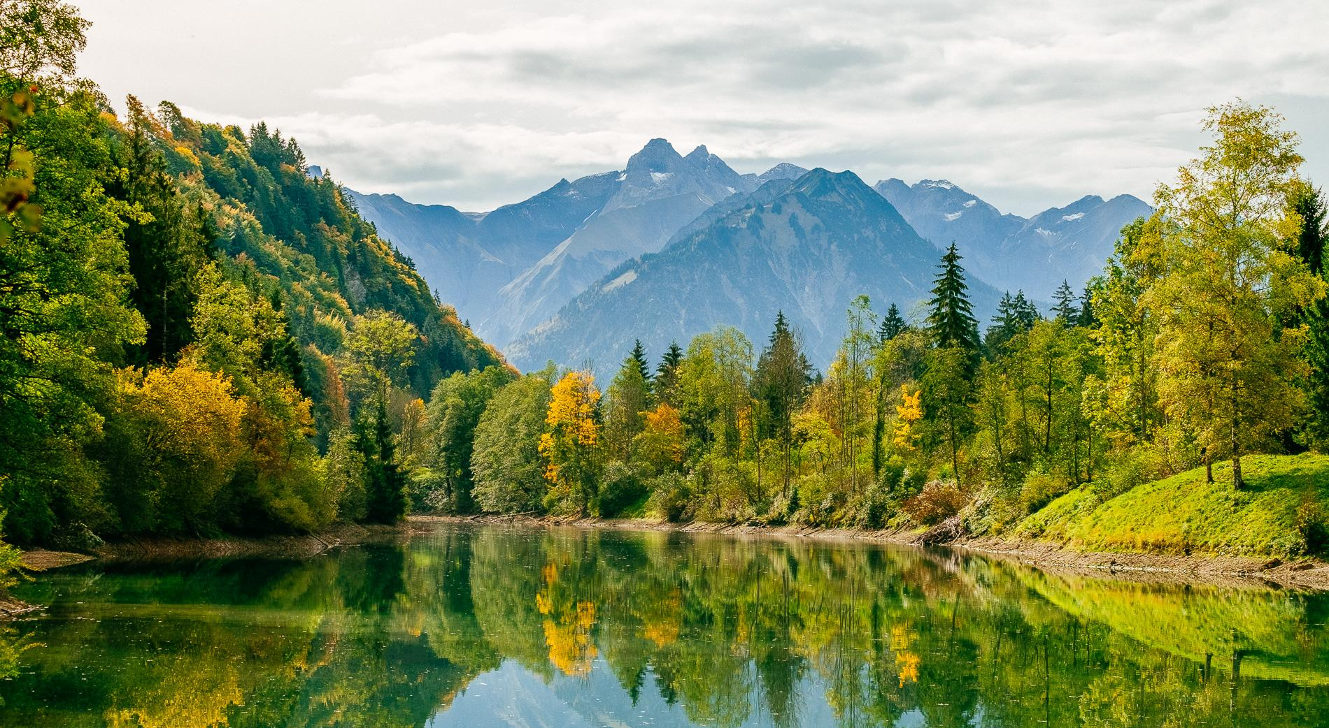
Golden Allgäu – autumn hiking in the Hörner villages

Hiking through Bavaria's cultural landscapes

Climbing Alpine peaks on the Route to the Top – Allgäu hiking trilogy
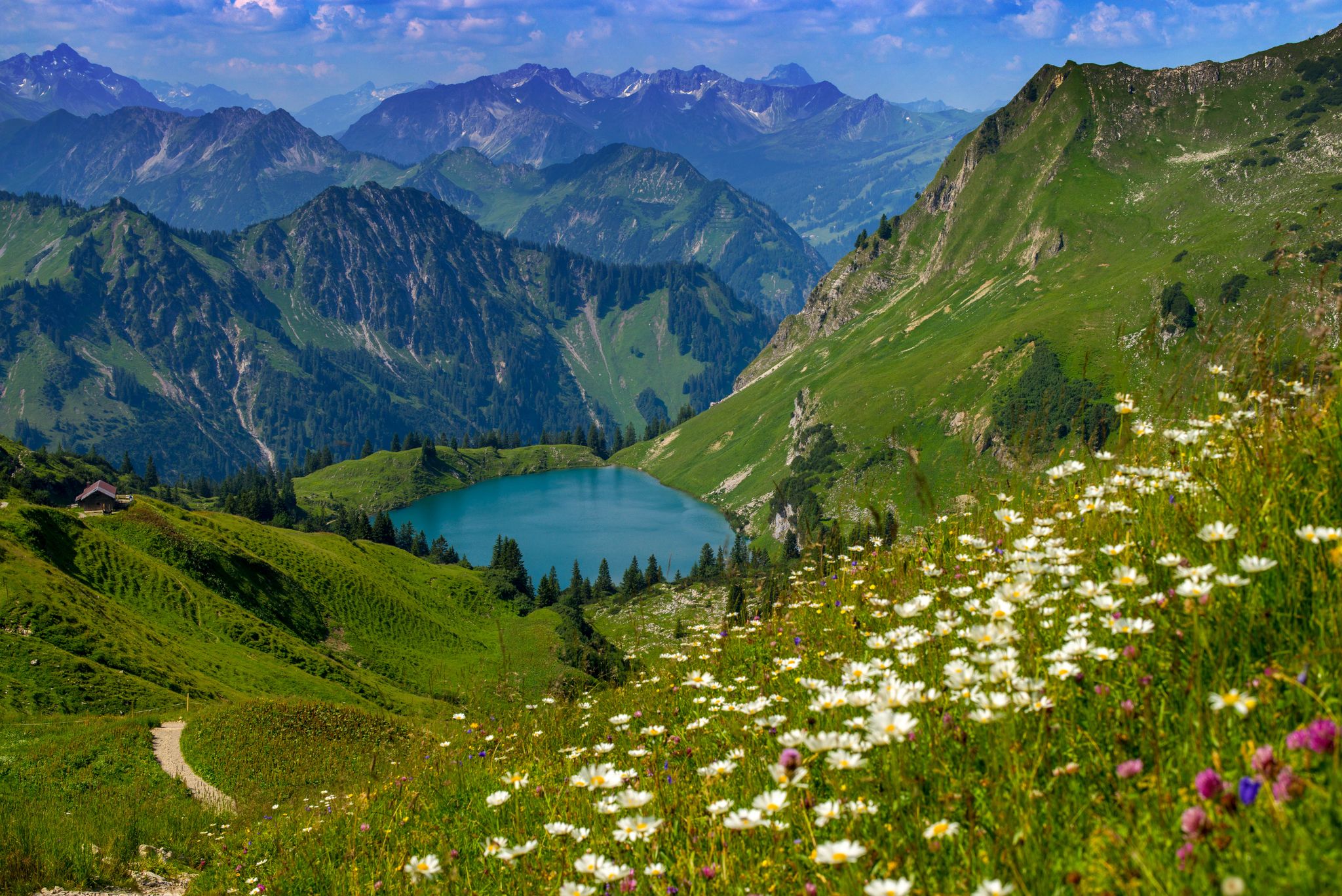
Bergwiesen im Allgäu – 8 Wanderungen über blühende Alpen
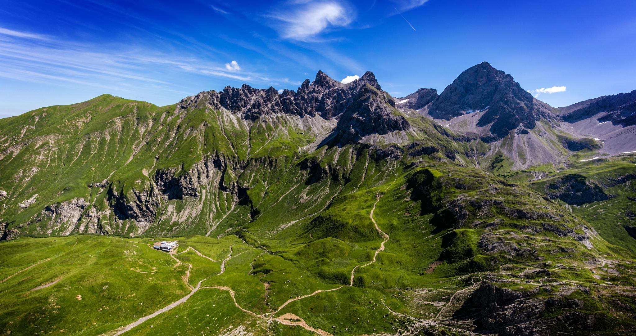
Alpenblick im Allgäu – 8 Wanderungen mit Bergpanorama
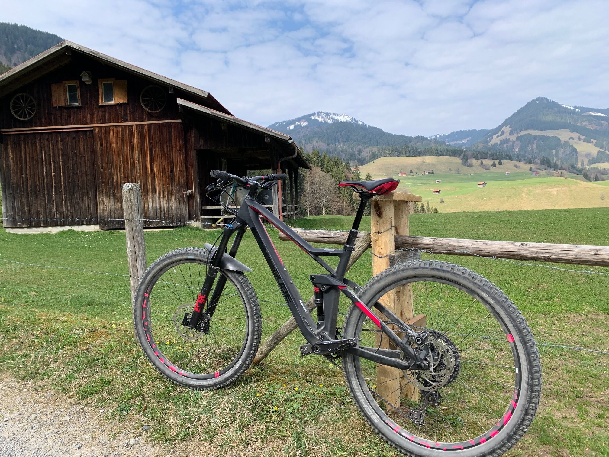
Hörnerdörfer - Radtouren
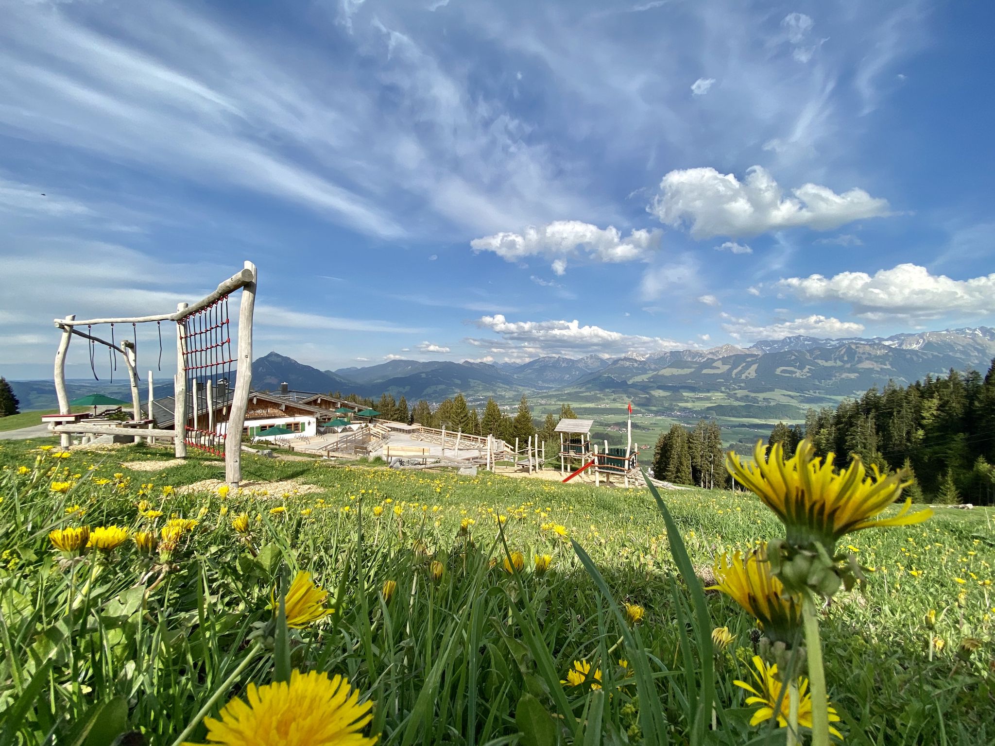
Hörnerdörfer - Themenwege
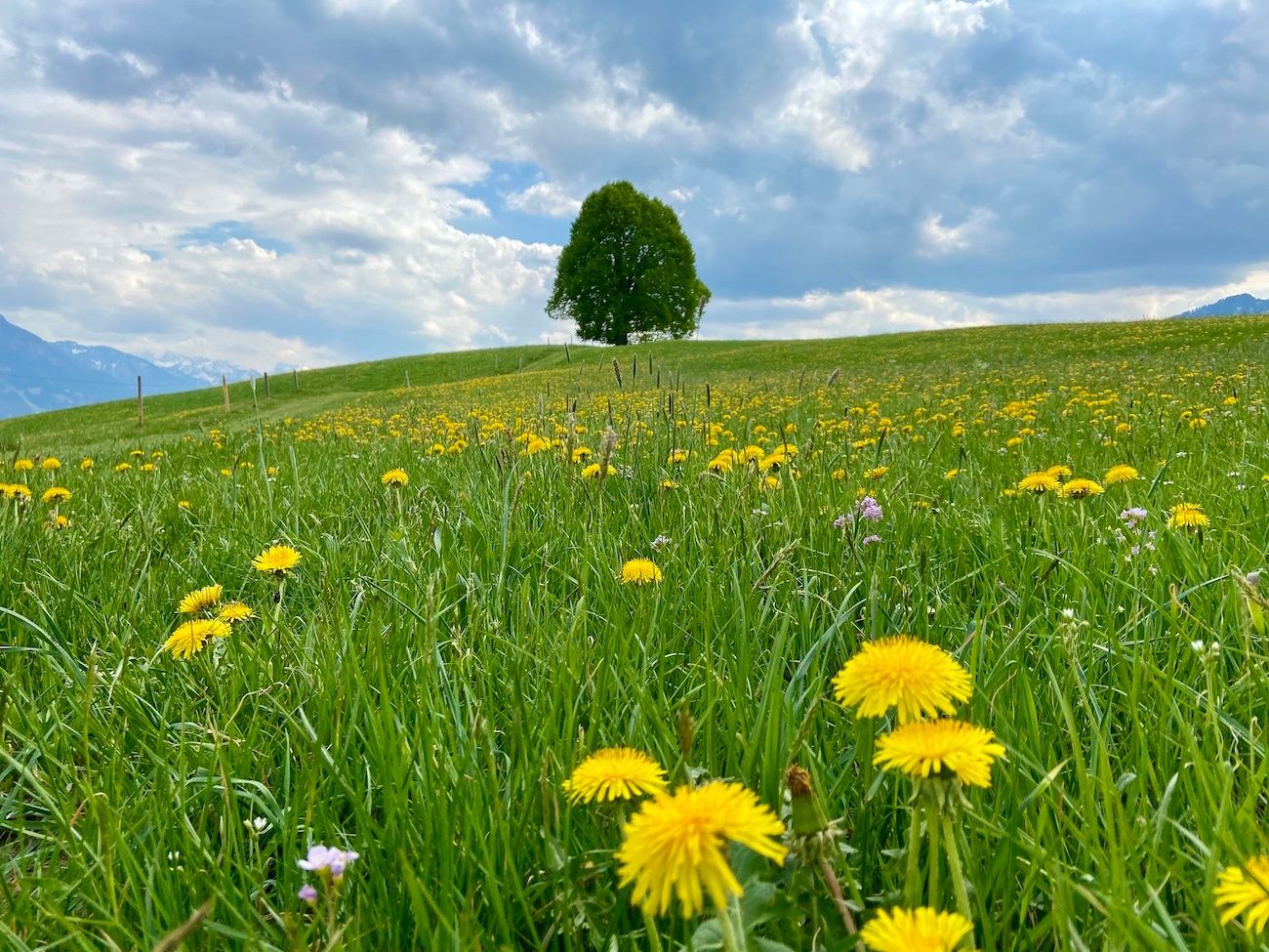
Hörnerdörfer - Idyllische Talwanderungen
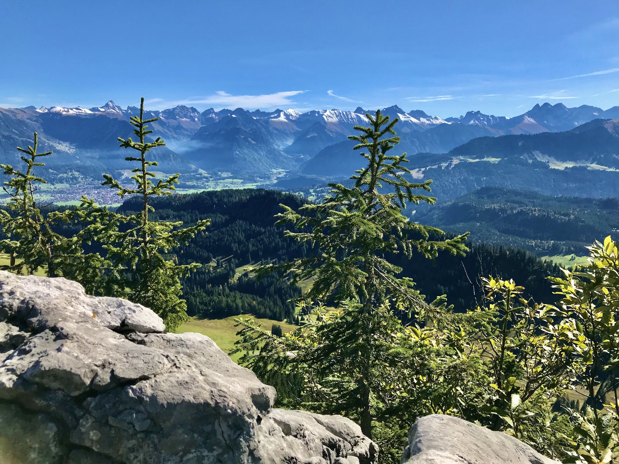
Hörnerdörfer - Aussichtsreiche Gipfelwanderungen
Other adventures around Bolsterlang


Tips from the Community

No idea how many views there are here 😅
0
0

The Trettachtal offers a variety of hospitable places to stop for refreshments.
0
0
The beautiful Trettachtal valley offers a variety of hospitable places to stop for refreshments.
0
0
The Oytal is a beautiful valley near Oberstdorf. It is a popular destination for hikers and cyclists and is known for its tree-lined avenues, high mountains, and the Stuibenfall.
1
0

The Iller cycle path between Sonthofen and Oberstdorf is consistently well-developed, with a firm and slightly gravelly surface.
0
0

Super tour from Sonthofen to Rottachsee a bit strenuous but could swim great in the lake.
0
0

Beautiful to hike through, even in winter.
0
0

Wonderful approach at the start of the tour,
0
0
Frequently Asked Questions
How many gravel bike trails are available around Bolsterlang?
There are over 100 gravel bike trails around Bolsterlang, offering a wide range of options for different skill levels. You'll find routes from easy to difficult, traversing the scenic Allgäu region.
Are there any gravel bike trails suitable for beginners in Bolsterlang?
Yes, Bolsterlang offers several gravel bike trails suitable for beginners. Many of these routes follow well-maintained paths along river valleys, providing a gentler introduction to gravel biking. For example, the Fischen im Allgäu – Iller Cycle Path loop from Obermaiselstein is a moderate option that covers 16.4 miles (26.4 km) with less elevation gain.
What kind of terrain can I expect on gravel bike trails near Bolsterlang?
The gravel bike trails around Bolsterlang feature varied terrain, from well-maintained paths along river valleys to more challenging ascents through alpine foothills and forested sections. You'll encounter a mix of gravel, compacted earth, and some paved sections, characteristic of the scenic Allgäu region.
Are there any circular gravel bike routes in the Bolsterlang area?
Yes, many of the gravel bike routes around Bolsterlang are designed as loops, allowing you to start and finish at the same point. A popular circular route is the Oytal Valley – Christlessee loop from Fischen, which is 33.2 miles (53.4 km) long and explores the beautiful Oytal Valley.
What are some challenging gravel bike trails for experienced riders?
For experienced gravel bikers seeking a challenge, Bolsterlang offers several difficult routes with significant elevation gain. The Source of the Iller – View from Hörnlepass loop from Fischen is a demanding 38.8-mile (62.4 km) trail with over 3,500 feet (1,080 m) of climbing, offering extensive views.
What can I see along the gravel bike trails around Bolsterlang?
Many gravel bike trails in the Bolsterlang area pass by beautiful natural landmarks. You might encounter picturesque lakes like Freibergsee or Lower Gaisalp Lake, and even stunning waterfalls such as the Hinanger Waterfall or the View of the Gaisalpsee waterfall. Some routes also lead through impressive gorges like the Breitach Gorge.
Are there any gravel bike routes that offer scenic viewpoints?
Absolutely. The region around Bolsterlang is known for its panoramic views. The View from Hörnlepass – Source of the Iller loop from Fischen is a difficult 23.8-mile (38.3 km) path specifically highlighted for its views from Hörnlepass.
What do other gravel bikers enjoy the most about gravel biking in Bolsterlang?
The area is highly rated by the komoot community, with an average score of 4.7 stars from over 500 reviews. Reviewers often praise the diverse terrain, the stunning natural beauty of the Allgäu region, and the well-connected network of trails that cater to various skill levels.
Can I find less crowded gravel trails in Bolsterlang?
While popular routes can see more traffic, the extensive network of over 100 trails means it's often possible to find quieter paths, especially during off-peak hours or by exploring some of the less-trafficked moderate and difficult routes that venture deeper into the forested hills and alpine foothills.
What is the typical duration for gravel bike trails in Bolsterlang?
The duration of gravel bike trails in Bolsterlang varies significantly based on distance and difficulty. For instance, a moderate route like the Source of the Iller – The Stag's Leap Gorge loop from Bolsterlang, which is 17.1 miles (27.5 km), typically takes around 1 hour 55 minutes. Longer, more difficult routes can take 4 hours or more to complete.
Are there any gravel bike routes that pass by places to eat or drink?
Many routes in the Bolsterlang area connect villages and towns, offering opportunities to stop at local pubs or cafes. While specific establishments aren't listed for every trail, planning your route through larger settlements like Fischen or Bolsterlang will increase your chances of finding refreshment stops.
Most popular routes around Bolsterlang
Most popular attractions around Bolsterlang

Get inspired with the komoot mobile app


Explore more
Browse the best Gravel rides in other regions.
