The best MTB trails around Bolsterlang
4.5
(118)
459
riders
17
rides
Mountain biking around Bolsterlang offers diverse terrain on a sunny plateau in the Oberallgäu region, at the foot of the Hörner Group. The area features Alpine landscapes with views over the Illertal and the main ridge of the Allgäu Alps. Bolsterlang is also part of the Nagelfluhkette Nature Park, providing protected natural environments for mountain bike trails. This region is characterized by its varied elevation and natural features, making it suitable for different riding experiences.
Best mountain bike trails around Bolsterlang
- The most popular mountain bike trail is Lochbach Valley Alpine Trail – Lochbachtal Valley loop from Bolsterlang, a 22.6 miles (36.3 km) trail that takes 2 hours 41 minutes to complete. This moderate route offers scenic valley views and alpine surroundings.
- Another top favourite among local mountain bikers is Bolgental – Nagelfluhkette Forest Trail loop from Obermaiselstein, a difficult 23.0 miles (37.1 km) path. This trail navigates challenging forest sections within the Nagelfluhkette Nature Park.
- Local mountain bikers also love the Ostertal Valley – View from Rangiswanger Horn loop from Bolsterlang, a 13.9 miles (22.5 km) trail leading through the Ostertal Valley, often completed in about 2 hours 35 minutes. This difficult route provides panoramic views from Rangiswanger Horn.
- Mountain biking around Bolsterlang is defined by Alpine landscapes, diverse terrain, and views of the Allgäu Alps. The network offers options for easy, moderate, and difficult trails, catering to various ability levels.
- The routes in Bolsterlang are highly rated by the komoot community with an average score of 4.5 stars from over 100 reviews. More than 400 mountain bikers have used komoot to explore Bolsterlang's varied terrain.
Last updated: September 30, 2026
4.5
(71)
243
riders
28.5km
02:17
750m
750m
Hard mountain bike ride. Good fitness required. Advanced riding skills necessary. Some portions of the route may require you to push your bike.
5.0
(3)
14
riders
37.1km
03:47
1,230m
1,230m
Hard mountain bike ride. Very good fitness required. Advanced riding skills necessary. Some portions of the route may require you to push your bike.

4.4
(5)
20
riders
22.9km
02:38
1,030m
1,030m
Hard mountain bike ride. Very good fitness required. Advanced riding skills necessary. Some portions of the route may require you to push your bike.
4.6
(25)
89
riders
36.3km
02:41
790m
790m
Moderate mountain bike ride. Good fitness required. Suitable for all skill levels.
4.8
(4)
23
riders
Hard mountain bike ride. Good fitness required. Advanced riding skills necessary. Some portions of the route may require you to push your bike.
Get access to more routes and recommendations from other explorers.
Already have an account?
Our route recommendations are based on thousands of hikes, rides, and runs completed by other people on komoot.
Start today with a free account
Your next adventure awaits.
Popular around Bolsterlang

The Best of Allgäu – Tour around Oberallgäu
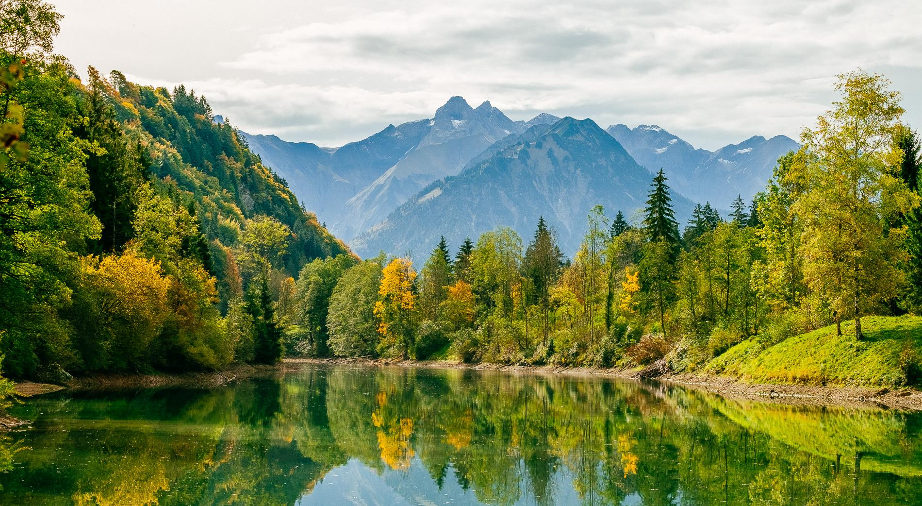
Golden Allgäu – autumn hiking in the Hörner villages

Hiking through Bavaria's cultural landscapes

Climbing Alpine peaks on the Route to the Top – Allgäu hiking trilogy
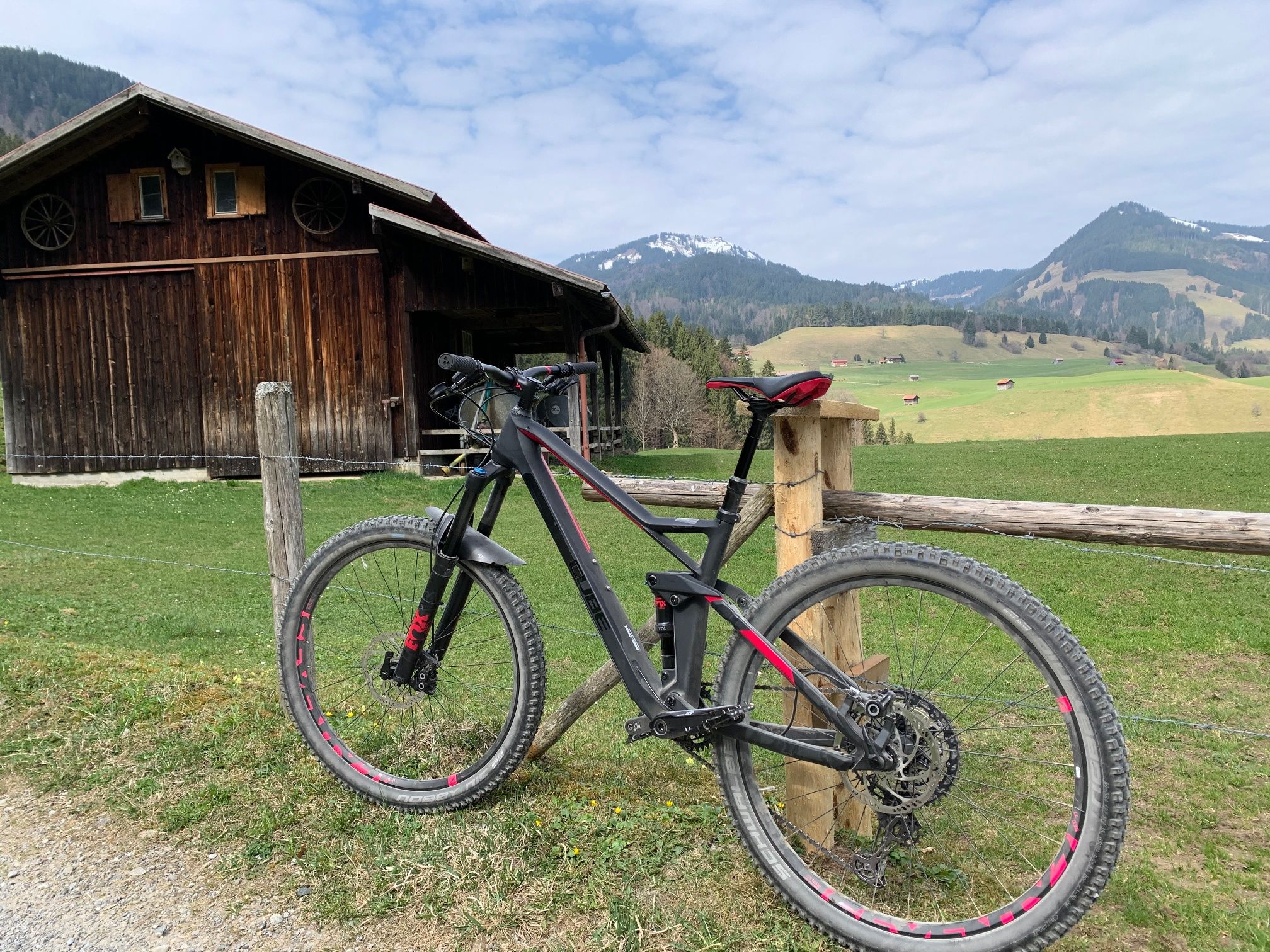
Hörnerdörfer - Radtouren
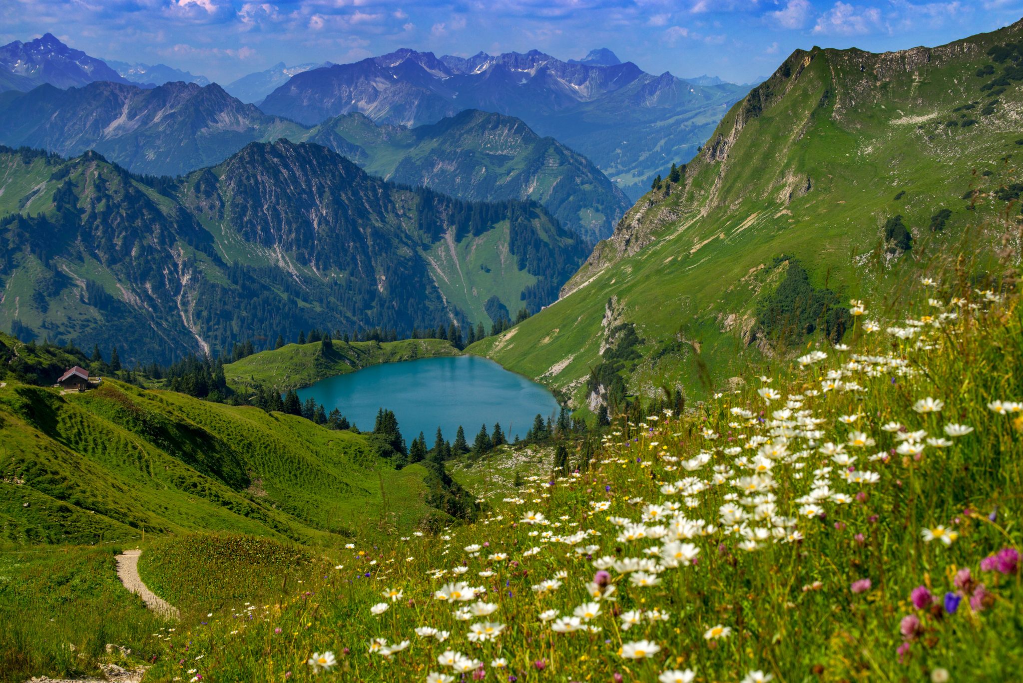
Bergwiesen im Allgäu – 8 Wanderungen über blühende Alpen
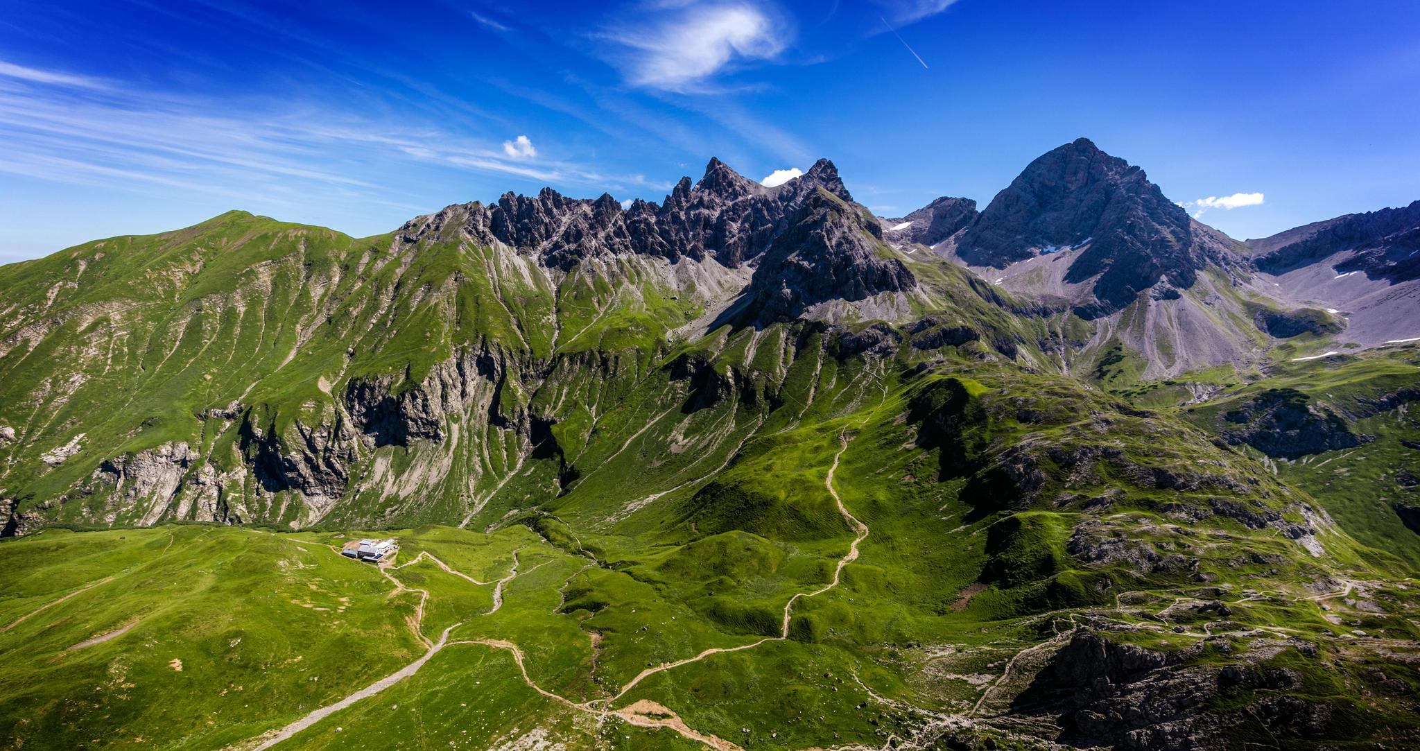
Alpenblick im Allgäu – 8 Wanderungen mit Bergpanorama
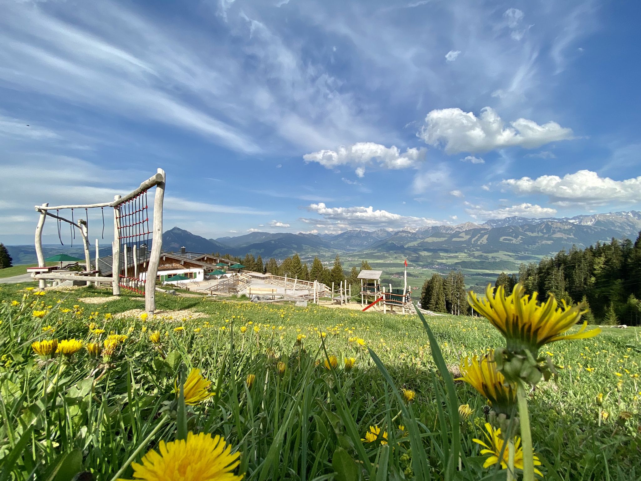
Hörnerdörfer - Themenwege
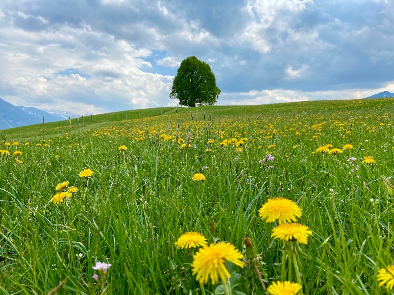
Hörnerdörfer - Idyllische Talwanderungen
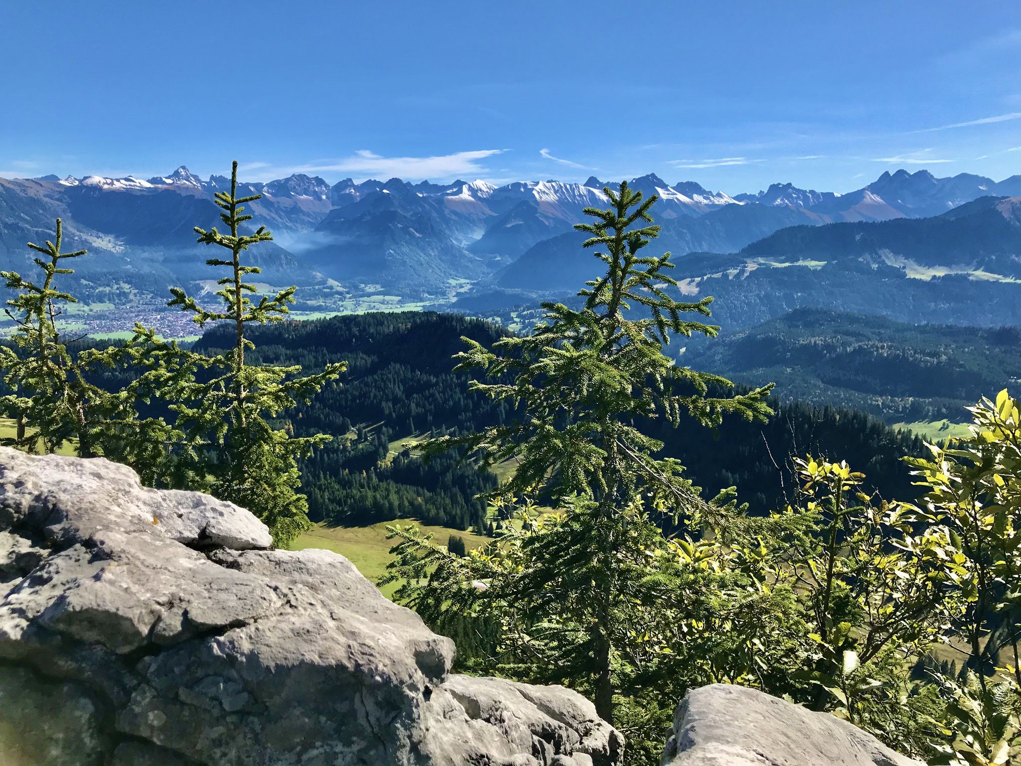
Hörnerdörfer - Aussichtsreiche Gipfelwanderungen
Other adventures around Bolsterlang


Tips from the Community

The Alpe Schattenwald in the Roormoos valley invites you to linger.
1
0

Beautiful to hike through, even in winter.
0
0

After the final short climb, you can now enjoy the view from the summit cross. Three benches and tables invite you to enjoy a snack on the mountain. If the weather is nice, you can also take a break directly on the meadow.
4
0

Located at 1,279 meters, the Alpe Dinjörgen is a beautiful and peaceful spot for a snack. The homemade products taste wonderful! 👍
7
0

between Tiefenbach and Obermaiselstein - Hirschsprung
0
0

Great gravel section, but you should still drive carefully.
0
0

Beautiful path along the Iller
4
0

The Hochvogel, located in the Austrian-German border region, towers above all the peaks in the Allgäu region at 2,592 meters. Visible from many summits and high points, it is a magnificent sight with its steeply rising summit.
0
0
Frequently Asked Questions
How many mountain bike trails are there in Bolsterlang?
Bolsterlang offers a diverse network of over 15 mountain bike trails, catering to various skill levels. These routes provide stunning Alpine landscapes and views over the Illertal and the main ridge of the Allgäu Alps.
What is the best time of year for mountain biking in Bolsterlang?
The best seasons for mountain biking in Bolsterlang are spring, summer, and autumn. During these months, temperatures are pleasant, and the scenery is vibrant, making for ideal riding conditions. The region is also popular for winter sports, but mountain biking is generally best outside of the snowy season.
Are there mountain bike trails suitable for beginners or families in Bolsterlang?
Yes, Bolsterlang has several easy mountain bike trails perfect for beginners or families. For example, the Oberschwang Maypole loop from Bolsterlang is an easy 9.9-mile (16 km) route with minimal elevation gain, offering a pleasant ride through the local landscape.
What kind of views can I expect on the mountain bike trails in Bolsterlang?
Many mountain bike trails in Bolsterlang offer breathtaking panoramic views of the Allgäu Alps, including peaks like Entschenkopf, Nebelhorn, and Rubihorn. Routes like the Ostertal Valley – View from Rangiswanger Horn loop from Bolsterlang provide stunning vistas from elevated points such as the Rangiswanger Horn.
Are there any challenging mountain bike routes for experienced riders?
Absolutely. Bolsterlang features several difficult mountain bike trails for experienced riders seeking a challenge. The Bolgental – Nagelfluhkette Forest Trail loop from Obermaiselstein is a demanding 23.0-mile (37.1 km) path that navigates challenging forest sections within the Nagelfluhkette Nature Park, involving significant elevation changes.
Can I access higher elevations using a cable car for mountain biking?
Yes, the Hörnerbahn cable car can transport visitors and their bikes to higher elevations, facilitating access to various trails and allowing for more downhill-focused rides or starting points for longer tours.
What natural attractions can I visit near the mountain bike trails in Bolsterlang?
The Bolsterlang region is rich in natural beauty. You can explore impressive natural monuments like the Breitach Gorge, Europe's deepest rocky gorge, or discover the serene Hinanger Waterfall. These are great options for a break from riding or for a separate excursion.
Are there any loop trails for mountain biking in Bolsterlang?
Yes, many of the mountain bike trails in Bolsterlang are designed as loops, allowing you to start and end your ride in the same location. For example, the Lochbach Valley Alpine Trail – Lochbachtal Valley loop from Bolsterlang is a popular moderate loop offering scenic valley views.
What do other mountain bikers say about the trails in Bolsterlang?
The mountain bike routes in Bolsterlang are highly rated by the komoot community, with an average score of 4.5 stars from over 100 reviews. Riders often praise the diverse terrain, stunning Alpine landscapes, and the variety of options available for different skill levels.
Is there parking available near the mountain bike trails in Bolsterlang?
While specific parking areas for each trail are not detailed, Bolsterlang is well-equipped for outdoor enthusiasts. You can typically find parking facilities in and around the village, especially near cable car stations or trailheads, which serve as convenient starting points for mountain bike tours.
Are there any trails that offer views of the Allgäu Valley?
Yes, several trails provide excellent views of the Allgäu Valley. The View of the Allgäu Valley – View from Ofterschwanger Horn loop from Bolsterlang is a moderate 15.0-mile (24.1 km) route specifically known for its expansive vistas from the Ofterschwanger Horn.
Most popular routes around Bolsterlang
Most popular attractions around Bolsterlang

Get inspired with the komoot mobile app


Explore more
Browse the best MTB trails in other regions.
