The best gravel rides around Sant Pere De Torelló
4.7
(29)
641
riders
117
rides
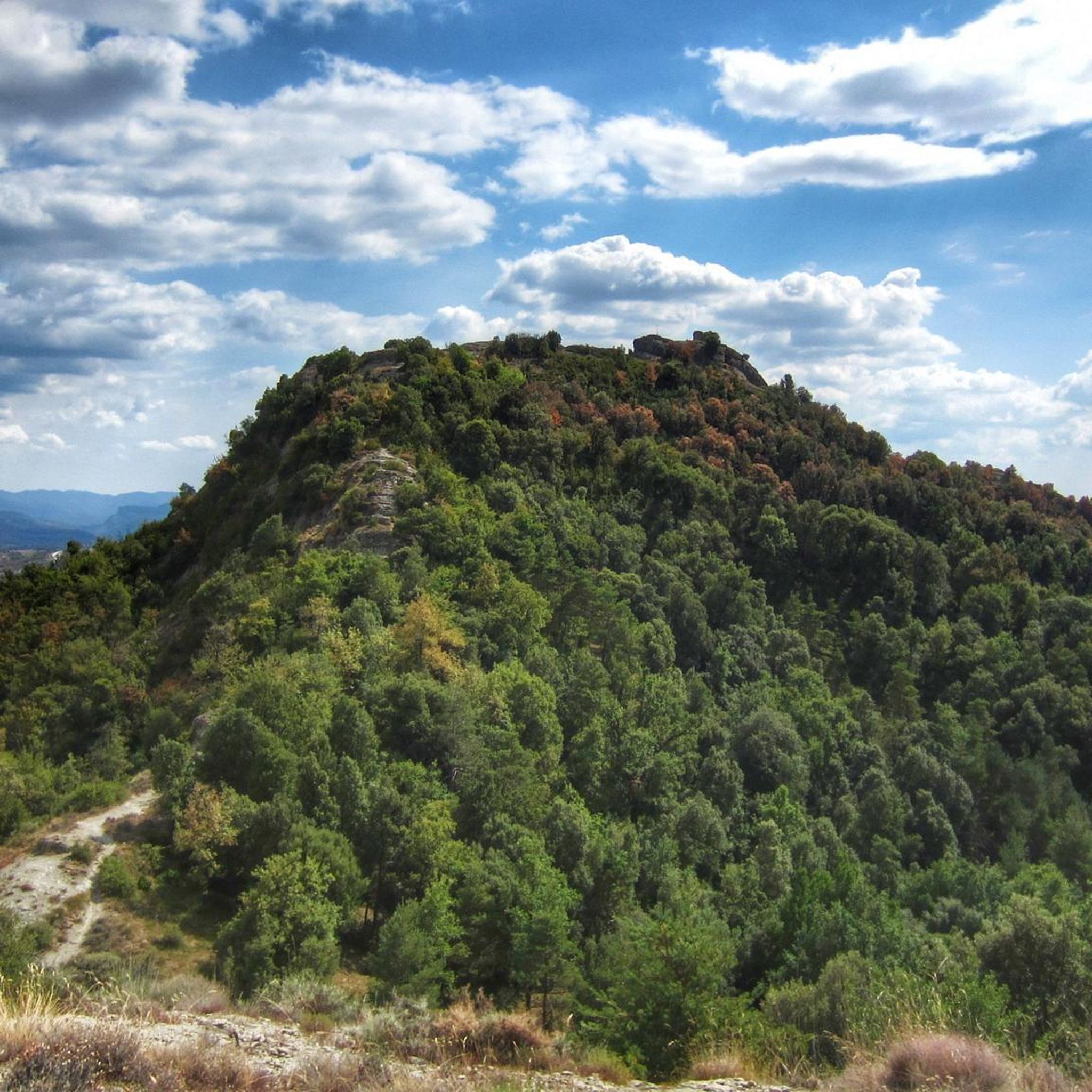
Gravel biking around Sant Pere De Torelló offers diverse terrain at the convergence of the Vic Plain and the Catalan Pre-Pyrenees foothills, situated at an elevation of 620 meters. The region is characterized by extensive forests of oak, holm oak, and beech, transitioning from cereal fields in flatter zones to rugged, elevated areas. The Ges River Valley further contributes to the varied topography, providing a mix of challenging climbs and scenic trails. This landscape includes significant natural features like the…
Last updated: October 6, 2026
5.0
(1)
32
riders
90.7km
05:51
1,020m
1,020m
Hard gravel ride. Very good fitness required. Mostly paved surfaces. Suitable for all skill levels.
27
riders
91.3km
06:38
1,660m
1,660m
Hard gravel ride. Very good fitness required. Mostly paved surfaces. Suitable for all skill levels.

18
riders
37.1km
03:02
690m
690m
Hard gravel ride. Very good fitness required. Mostly paved surfaces. Suitable for all skill levels.
14
riders
Hard gravel ride. Very good fitness required. Mostly paved surfaces. Suitable for all skill levels.
18
riders
22.5km
01:26
250m
250m
Moderate gravel ride. Good fitness required. Mostly paved surfaces. Suitable for all skill levels.
Get access to more routes and recommendations from other explorers.
Already have an account?
Our route recommendations are based on thousands of hikes, rides, and runs completed by other people on komoot.
Start today with a free account
Your next adventure awaits.
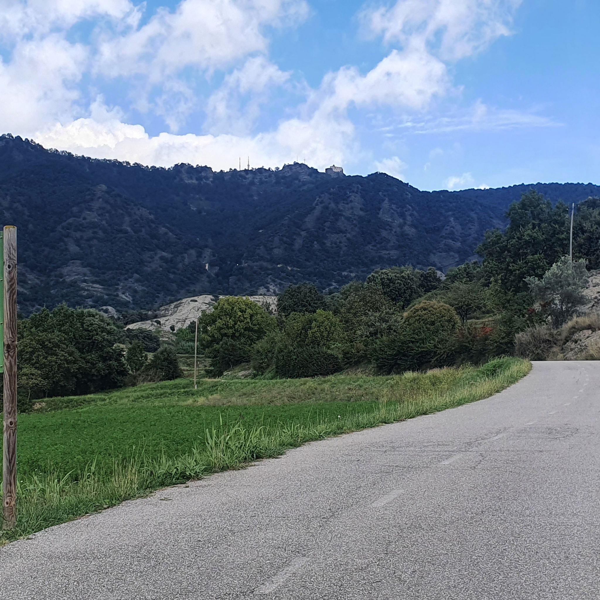
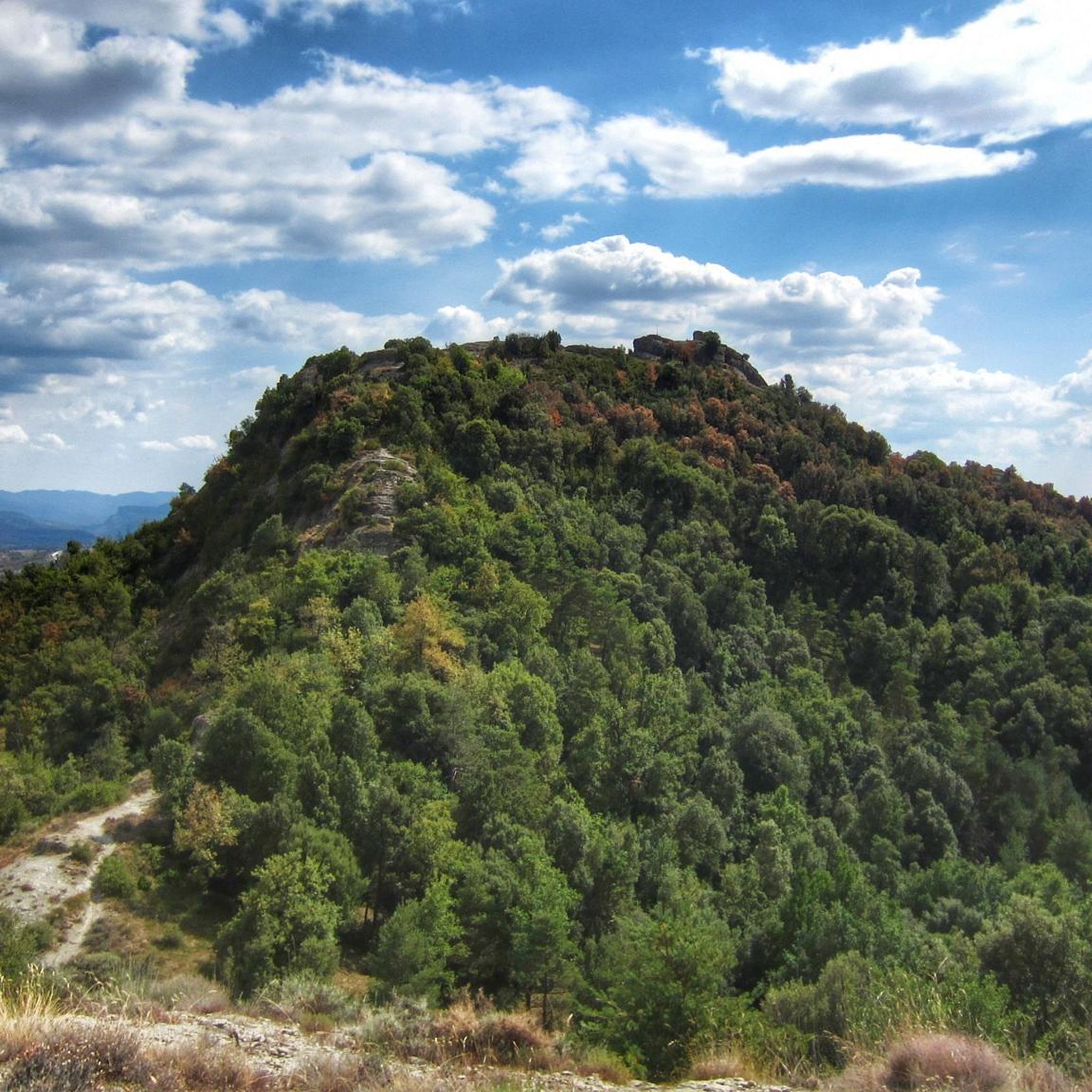
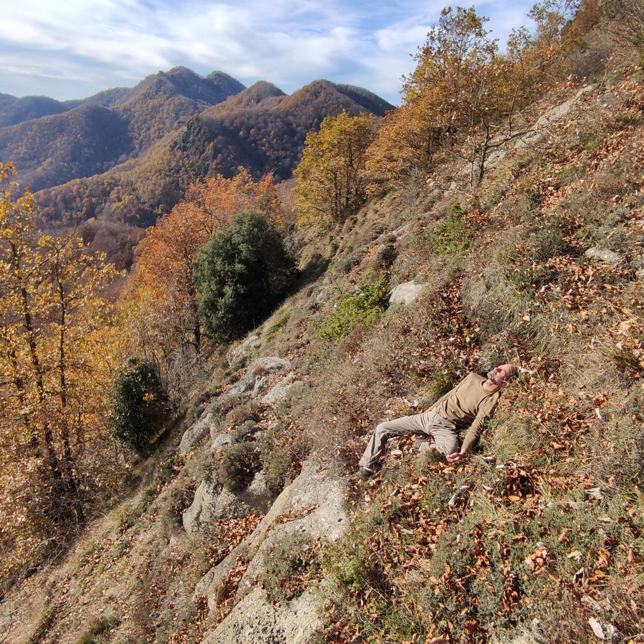
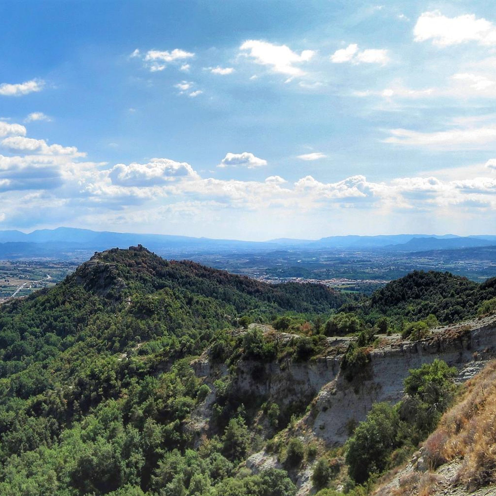
Tips from the Community

The Parish Church of Santa María de Corcó (also known as the parish church of Santa Maria del Corcó) is the main temple of the municipality of **L'Esquirol** (historically known as Santa Maria de Corcó), located in the region of Osona (Barcelona). ### Characteristics and history * **Baroque origin:** The current building mainly dates from the 17th and 18th centuries, although it replaced a previous medieval temple. * **Reconstruction:** It was largely destroyed during the Civil War and was subsequently rebuilt, retaining its monumental structure dominating the town center. * **Strategic location:** It is located next to the Passeig de les Gorgues and the Sant Bartomeu stream area, a usual starting point for routes towards La Foradada de Cantonagròs and the Collsacabra area.
0
0

Cruza la riera de les Gorgues por este puente medieval, integrado en el antiguo camí ral entre Olot y Vic, por donde el tránsito ha pasado durante siglos. El puente se encuentra al final del carrer del Pont, una de las calles más características de l’Esquirol, marcada por su fuerte pendiente.
0
0

Unfortunately, it is really only this short section that is beautiful. Most of the via verde runs on roads, not separate from cars.
0
0

The carrilet is idyllic to ride. Towards Olot it slopes upwards and then, when you return, you will be grateful for it.
0
0

Pedraforca, although it is almost on the horizon, I did not expect to see it. It was a surprise. Seeing this magical peak connects me with old and beautiful memories of my youth.
1
0


Side road to avoid the tunnel. Recommended route for cyclists.
0
0
Use this road to avoid the tunnel on the main road. It is steep, though.
0
0
Frequently Asked Questions
What kind of terrain can I expect on gravel bike trails around Sant Pere De Torelló?
The region offers a diverse landscape, transitioning from cereal fields and oak/holm oak groves in flatter zones to extensive mountain holm oak, oak, and beech forests in more elevated areas. You'll encounter a mix of quiet forest roads, ancient fire roads, and tracks, providing both challenging climbs and scenic trails through varied topography, from the Vic Plain to the Catalan Pre-Pyrenees foothills.
Are there any family-friendly gravel biking options in Sant Pere De Torelló?
While many routes in the area are moderate to difficult, the extensive network does offer options for different ability levels. For specific family-friendly routes, it's best to check individual tour details on komoot, looking for routes with lower elevation gain and shorter distances. The region's varied terrain means there are paths suitable for less experienced riders, often found closer to the flatter zones of the Vic Plain.
What are some notable natural features or landmarks I can see while gravel biking in the area?
You can explore significant natural features like the Fageda de la Grevolosa, a renowned beech forest with monumental trees. For breathtaking panoramic views, consider routes that pass by the Bellmunt Sanctuary, which offers expansive vistas of the Vic Plain and the Pyrenees. Another iconic peak is Puigsacalm, an emblematic mountain with excellent views.
What is the best time of year for gravel biking in Sant Pere De Torelló?
Sant Pere de Torelló is suitable for outdoor activities throughout much of the year. Spring and autumn generally offer the most pleasant temperatures for gravel biking, with vibrant foliage or blooming landscapes. While winter conditions can occur in higher elevations, the diverse terrain means lower-lying routes may still be accessible. Summer can be warm, so early morning or late afternoon rides are often preferred.
Are there any circular gravel bike routes available?
Yes, many of the gravel routes around Sant Pere De Torelló are designed as loops. For example, the difficult Baga del Prat – La Vola loop from Torelló is a 36.9 km trail exploring varied terrain. Another popular option is the moderate Ter Promenade, Manlleu – Santuario de Puig-agut loop from Torelló, which combines riverside sections with climbs.
Where can I find parking for gravel biking trails in Sant Pere De Torelló?
While specific parking areas for each trail are not detailed, Sant Pere de Torelló, as a municipality, generally offers public parking options. For routes starting from Torelló, you can typically find parking within the town. It's advisable to check local maps or komoot tour details for suggested starting points and parking availability near your chosen route.
What is the general difficulty level of gravel bike trails in this region?
The gravel biking routes around Sant Pere De Torelló range from moderate to difficult. The area's location at the convergence of the Vic Plain and the Catalan Pre-Pyrenees foothills means you can expect significant elevation changes and challenging climbs, especially on routes venturing into the more rugged, elevated areas. There are 41 moderate and 64 difficult routes listed in the area.
Are there any cafes or places to eat near the gravel bike trails?
Sant Pere de Torelló and nearby towns like Torelló offer various amenities, including cafes and restaurants where you can refuel. While specific establishments directly on trails are rare, planning your route to pass through or start/end in these towns will provide opportunities for refreshments and meals. It's always a good idea to carry sufficient water and snacks, especially on longer rides.
What do other gravel bikers enjoy most about the trails in Sant Pere De Torelló?
The area is highly rated by the komoot community, with an average score of 4.8 stars from over 20 reviews. Reviewers often praise the diverse terrain, from quiet forest roads to challenging climbs, and the stunning panoramic views, particularly from high points like the Santuari de Bellmunt. The extensive network of trails also allows for varied exploration.
Can I find routes that offer significant elevation gain for a challenging ride?
Absolutely. The region's proximity to the Catalan Pre-Pyrenees foothills means many routes feature substantial elevation gain. For instance, the difficult Bellmunt Sanctuary – Sanctuary of Bellmunt loop from Torelló involves nearly 800 meters of ascent over 26.8 km, offering a demanding ride with rewarding views.
Are there any routes that follow river valleys?
Yes, the Ges River Valley is a prominent natural feature in the area, and routes often incorporate sections along its course. For example, the moderate Ter Promenade, Manlleu – Santuario de Puig-agut loop from Torelló includes riverside sections along the Ter Promenade, offering a different kind of scenic experience compared to the mountain climbs.
Most popular routes around Sant Pere De Torelló
Most popular attractions around Sant Pere De Torelló

Get inspired with the komoot mobile app


Explore more
Browse the best Gravel rides in other regions.
