The best waterfall hikes and walks in Ouachita National Forest
4.8
(21)
530
hikers
4
hikes
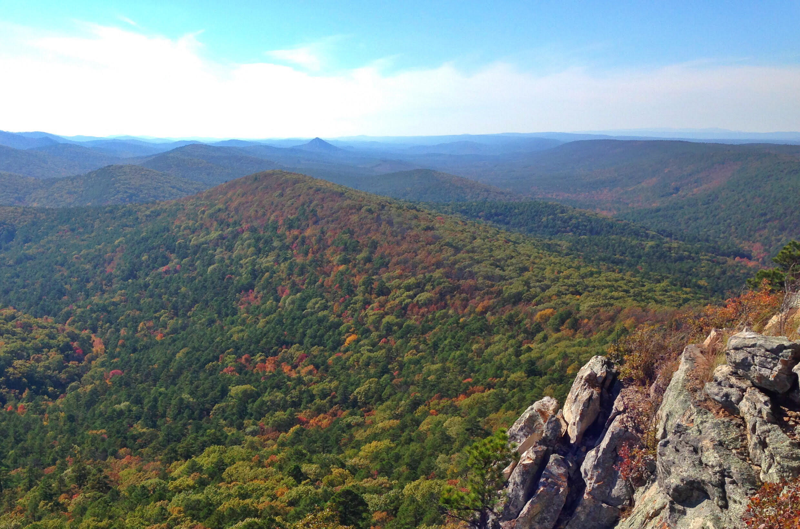
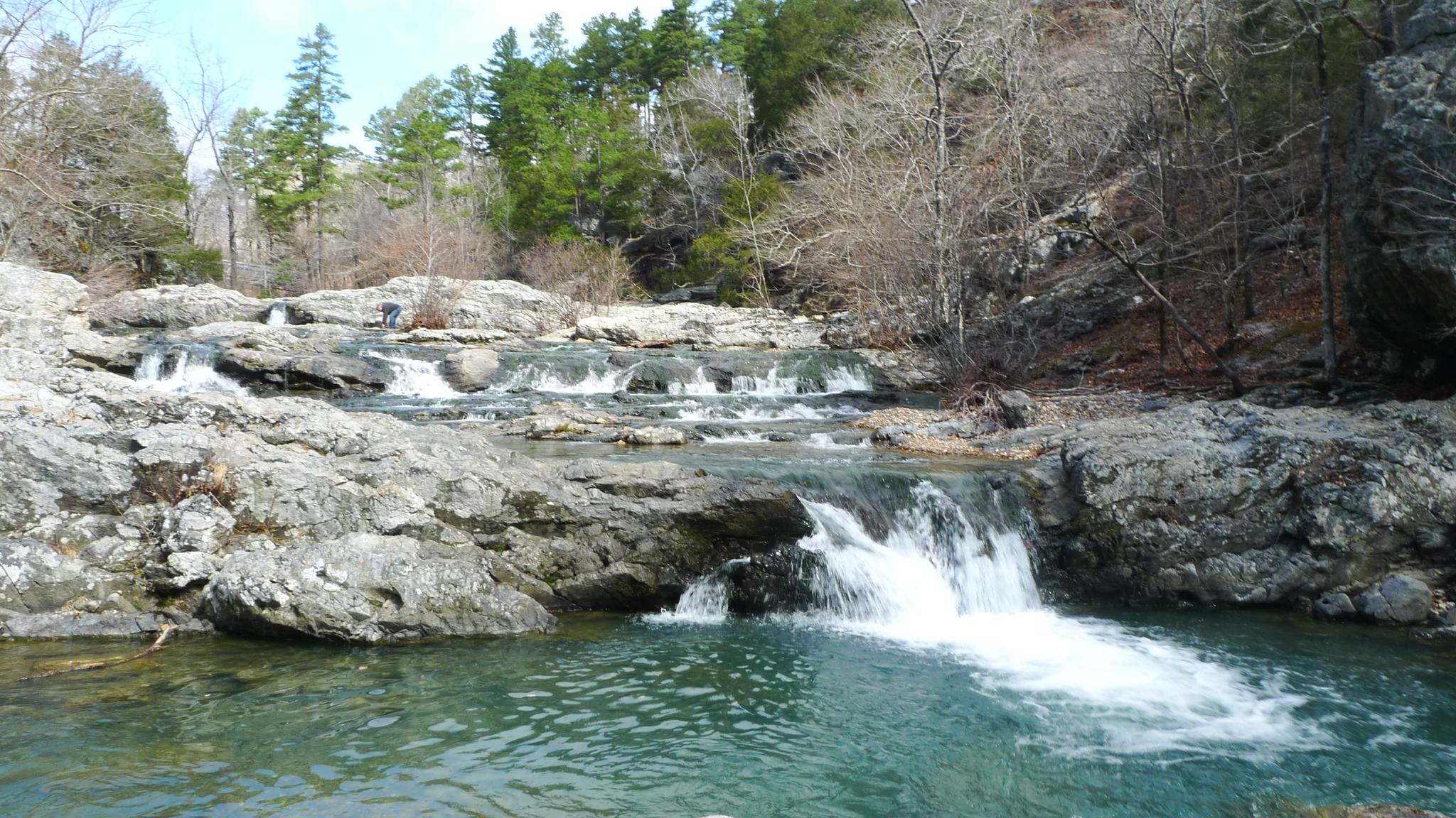
Waterfall hiking trails in Ouachita National Forest traverse a vast landscape characterized by the rugged Ouachita Mountains, which run east to west. This region features rolling hills, dense forests, and unique geological formations, including notable quartz outcroppings. Hikers can explore picturesque streams, rivers, and lakes, with the Little Missouri River being a designated wild and scenic river known for its cascading waterfalls. The terrain offers a mix of forested paths, mountain views, and riverine environments.
Best waterfall hiking trails in…
Last updated: November 8, 2026
6
hikers
3.28km
00:55
50m
60m
Moderate hike. Mostly walkable paths. Sure-footedness required.
400km
116:17
8,970m
8,850m
Hard hike. Very good fitness required. Mostly walkable paths. Sure-footedness required.

5.0
(1)
7
hikers
21.6km
06:40
430m
430m
Hard hike. Very good fitness required. Mostly walkable paths. Sure-footedness required.
1
hikers
13.9km
04:34
280m
280m
Moderate hike. Good fitness required. Mostly walkable paths. Sure-footedness required.
Our route recommendations are based on thousands of hikes, rides, and runs completed by other people on komoot.
Start today with a free account
Your next adventure awaits.
Popular around Ouachita National Forest
Other adventures in Ouachita National Forest

Tips from the Community

This trailhead sits right along Highway 298 and is one of several access points for the Ouachita National Recreation Trail (ONRT). While there are no restrooms or drinking water here, there is a short spur trail leading to the Upper Fork Ouachita River—it is an excellent water source and a great spot to pitch a tent if you are thru-hiking the 223-mile trail.
0
0
The Ouachita National Forest, established by President Theodore Roosevelt in 1907 and initially named the Arkansas National Forest, covers an impressive 1.8 million acres in central Arkansas and southeastern Oklahoma. It is the oldest and largest National Forest in the Southern Region. The forest features a diverse mix of pine and hickory trees with over 700 miles of trails for hiking, mountain biking, and horseback riding. There are multiple developed recreation areas, scenic vistas, shooting ranges, historical sites, wilderness areas, and one national recreation area within the forest. Most of the developed recreation areas are open from April to September, although some sites remain accessible year-round. The Ouachita National Forest is breathtaking in every season, providing expansive views of mountains that stretch for miles.
0
0
The Brushy Trail Complex combines Brushy Mountain, Mountain Top, Rockhouse, and Brushy Creek Trails, which, along with the Ouachita National Recreation Trail, offer a variety of fantastic loop-trail hiking options spanning from 3 to 12 miles. This area is picturesque, with flowing streams, waterfalls, unique geological formations, and peaceful woodlands. Entrance to the day use area and dispersed camping is free—just be sure you camp at least 100 feet away from any trail. Brushy Creek is a reliable water source for thru hikers exploring the ONRT, making it an excellent spot to spend the night during a long journey.
0
0
This trailhead sits right along Highway 7 with a relatively large parking area and trail registration box. There is no water or restroom here. It is an access point of Ouachita Trail that leads to Wolf Pinnacle, a popular destination for day hikers for its scenic views, and is commonly used as a supply drop for thru-hikers.
0
0
Queen Wilhelmina State Park offers some of the most breathtaking views in the state from its fully renovated lodge. Known as the original “Castle in the Sky,” originally built in 1898, the lodge is situated on the 2,681-foot Rich Mountain—Arkansas' second highest peak. The original lodge was built in the late 1800s as a Victorian resort named Wilhelmina Inn to honor the young Queen of the Netherlands, after Dutch investors helped fund the construction of the railroad system. The park includes 41 campsites, including five tent sites with water, one hike-in tent site, picnic areas, and several short hiking trails, and the lodge features 40 rooms, a restaurant featuring Southern cuisine, and a gift shop. Dogs are welcome except in the restaurant and the large hearth room.
0
0
The Kiamichi River is a beautiful tributary of the Red River, stretching for 177 miles as it winds through Pushmataha County and the Kiamichi Mountains. The river is mostly untouched, with limited access, and is known for its excellent bass and catfish fishing opportunities. It's a favorite destination for organized canoe float trips (Class I-II), so you may encounter others enjoying this scenic river while you're here.
0
0
The Upper Kiamichi River Wilderness spans 10,372 acres within the Ouachita National Forest. This beautiful area is protected by the long ridges of Pine Mountain and Rich Mountain and features picturesque groves of beech trees as well as dense forests of pine and hardwoods. It offers excellent hiking and fishing opportunities along the Kiamichi River and is home to a variety of wildlife, including black bears, white-tailed deer, bobcats, skunks, and pheasants.
0
0
Wilton Mountain is nestled 2 miles from U.S. Route 59 and approximately 6 miles west of the Arkansas state line, with an elevation of 2,543 feet above sea level. The summit (easy to reach from the trail or the highway) offers great panoramic views of the Kiamichi Mountains in the distance, especially after the leaf-off. There is a relatively flat ridge area that makes for an excellent resting or camping spot, complete with an unofficial camping area and a fire ring.
0
0
Frequently Asked Questions
How many dedicated waterfall hiking trails are there in Ouachita National Forest?
Currently, komoot features 3 dedicated waterfall hiking trails in the Ouachita National Forest. These routes range from moderate to difficult, offering diverse experiences for hikers.
What is the best time of year to experience the waterfalls at their fullest in Ouachita National Forest?
The waterfalls in Ouachita National Forest are typically at their most impressive during the spring months, following snowmelt and seasonal rains. Winter can also offer good flow, while late summer and fall might see reduced water levels.
Are there any easy or beginner-friendly waterfall hikes in the Ouachita National Forest?
While the Ouachita National Forest offers many trails, the dedicated waterfall hikes currently featured on komoot are rated as moderate to difficult. For those seeking a less strenuous experience, consider exploring other areas of the forest with gentler terrain, though they may not lead directly to prominent waterfalls.
Can I bring my dog on the waterfall trails in Ouachita National Forest?
Yes, dogs are generally welcome on trails within the Ouachita National Forest, including waterfall hikes, but must be kept on a leash. Always ensure your dog is well-behaved and that you pack out any waste to preserve the natural environment.
Are there any challenging waterfall hikes for experienced trekkers?
Absolutely. For experienced hikers, the Eagle Rock Loop is a demanding 21.6 km (13.4 mile) route that includes significant elevation changes and rugged terrain, offering a true challenge amidst the forest's natural beauty.
What kind of terrain can I expect on waterfall hikes in the Ouachita National Forest?
Waterfall hikes in the Ouachita National Forest often feature varied terrain, including forested paths, rocky sections, and ascents and descents through the rugged Ouachita Mountains. Trails may follow streams, cross gorges, and lead to scenic viewpoints overlooking cascades.
Are there any circular waterfall routes available?
Yes, the Eagle Rock Loop is a notable circular route that allows you to experience the forest's beauty, including potential waterfall sightings, without retracing your steps. Another option is a shorter section of the loop, also called Eagle Rock Loop, which is 13.9 km (8.6 miles).
What other natural attractions can I explore near the waterfall trails?
Beyond the waterfalls, the Ouachita National Forest is rich with natural beauty. You can explore stunning lakes like Lake Ouachita and Lake Sylvia Recreation Area, or visit prominent geological features such as Flatside Pinnacle and Spirit Rock Vista for panoramic views.
Is parking available at the trailheads for waterfall hikes?
Parking is generally available at designated trailheads throughout the Ouachita National Forest. Specific parking information for each route can often be found on the individual komoot tour pages, such as for the Little Missouri Trail to Winding Stairs.
What do other hikers enjoy most about the waterfall trails in Ouachita National Forest?
The komoot community highly rates the trails in Ouachita National Forest, with an average score of 4.8 stars. Reviewers often praise the serene natural beauty, the rugged and rewarding terrain, and the opportunity to connect with nature away from crowds, especially along the cascading streams and waterfalls.
Are there any permits required for hiking to waterfalls in the Ouachita National Forest?
Generally, permits are not required for day hiking on most trails within the Ouachita National Forest. However, it's always a good idea to check with the local Forest Service office for any specific regulations or updates, especially if planning an overnight trip or visiting a designated wilderness area.
Can I combine multiple waterfall sightings into a single hike?
While specific routes may highlight one main waterfall, many trails in the Ouachita National Forest follow stream beds or traverse areas with multiple smaller cascades, especially after heavy rains. The longer Eagle Rock Loop, for instance, offers extensive opportunities to encounter various water features along its course.
Most popular routes in Ouachita National Forest
Most popular attractions in Ouachita National Forest

Get inspired with the komoot mobile app


Explore more
Browse the best Hikes in other regions.
