The best cycling routes in Widgeon Marsh Regional Park Reserve
4.8
(4)
61
riders
4
rides
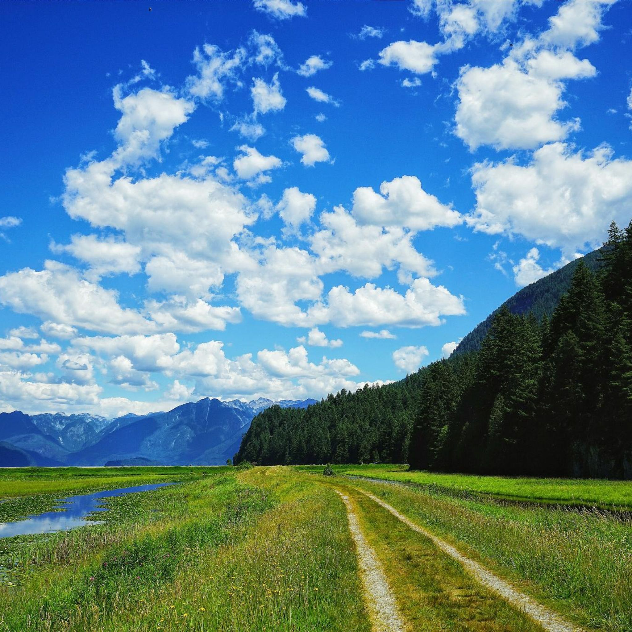
Touring cycling in Widgeon Marsh Regional Park Reserve features diverse landscapes characterized by vast wetlands and steep forests, covering approximately two-thirds of its 621-hectare area. The park includes multi-use paved greenway pathways, offering accessible routes for cyclists. Sweeping mountain views provide a backdrop to the tranquil wetlands, which are part of southwest British Columbia's largest freshwater wetland system. The terrain includes marshes, swamps, fens, and bogs, with a salmon stream flowing through evergreen forests.
Best touring cycling routes in Widgeon Marsh Regional Park Reserve
- The most popular touring cycling route is Alouette River – Heron Rookery loop from Port Coquitlam, a 7.7 miles (12.4 km) trail that takes 1 hour 9 minutes to complete. This easy route offers views of the park's wetlands and waterways.
- Another top favourite among local touring cyclists is Taylight Brewing loop from Port Coquitlam, an easy 12.1 miles (19.6 km) path. This route provides a blend of paved surfaces and scenic mountain vistas.
- Local touring cyclists also love the Burke Mountain – Hyde Creek Salmon Hatchery loop from Sun Valley, an 8.8 miles (14.2 km) trail leading through varied landscapes, often completed in about 1 hour 2 minutes.
- Touring cycling in Widgeon Marsh Regional Park Reserve is defined by its extensive wetlands, steep forests, and multi-use paved greenway pathways. The network offers options primarily for easy ability levels, suitable for various cyclists.
- The routes in Widgeon Marsh Regional Park Reserve are highly rated by the komoot community with an average score of 4.2 stars from over 5 reviews. More than 64 touring cyclists have used komoot to explore Widgeon Marsh Regional Park Reserve's varied terrain.
Last updated: October 8, 2026
7
riders
9.65km
00:36
10m
10m
Easy bike ride. Great for any fitness level. Mostly paved surfaces. Suitable for all skill levels.
22
riders
Easy bike ride. Great for any fitness level. Mostly paved surfaces. Suitable for all skill levels.

4.8
(4)
30
riders
Easy bike ride. Great for any fitness level. Mostly paved surfaces. Suitable for all skill levels.
2
riders
Easy bike ride. Great for any fitness level. Mostly paved surfaces. Suitable for all skill levels.
Our route recommendations are based on thousands of hikes, rides, and runs completed by other people on komoot.
Start today with a free account
Your next adventure awaits.
Popular around Widgeon Marsh Regional Park Reserve
Tips from the Community

The Alouette River was formerly known as the Lillooet River, but the name was changed since there is a larger, more well known river that had the same name. The name Alouette was chosen for the simple reason that it sounds similar to Lillooet, but French speakers will recognize that it means lark.
0
0

The Hyde Creek Salmon Hatchery is a small powerhouse of local conservation, run entirely by volunteers who raise thousands of coho and chum salmon each year. Its story began in the 1980s with a homemade backyard hatchery, complete with an old bathtub! Drop by on a Saturday morning when volunteers are usually around, and you may get a glimpse behind the scenes before heading back out to watch for salmon in Hyde Creek itself.
1
0

Gates Park offers a mix of paved and natural trail sections along the river, with picnic areas, playgrounds, and sports fields, making it a good starting or ending point for a longer riverside walk or ride into ƛ̓éxətəm.
0
0
At this southern spot near Pitt River Road, the Coquitlam River opens up and slows down. The water here is wider and calmer than the fast-moving sections further upstream.
0
0

This section of the Trans Canada Trail follows the wooded banks of the Coquitlam River through Coquitlam. The mostly gravel path runs through forested river habitat, offering a quiet stretch of trail where the sound of the river accompanies much of the walk. It’s a multi-use route popular with hikers, runners, and cyclists, and several bridges and viewpoints along the way provide good views over the river as it flows through the valley.
0
0
From the Eleanor Ward Bridge, you will be suspended high above the flowing waters of the Coquitlam River. The bridge provides a clear view down into the forested river corridor as the river winds through the valley below. It’s a striking vantage point along the route and a great place to pause and watch the river moving through this green stretch of Coquitlam.
0
0
This 165-acre municipal park features nearly 10 km of forested trails winding through riparian woodlands. Seasonal changes bring dramatic shifts, from high water and swirling currents in winter to calmer flows perfect for wading in during summer. In autumn, the river becomes a vivid stage for returning salmon and the autumn colors illuminate the river corridor. There are trong ties to the traditional lands of the Kwikwetlem Nation, with the river's name coming from their language and meaning "red fish up the river". Coquitlam River Park offers a quiet nature escape just minutes from the city.
0
0

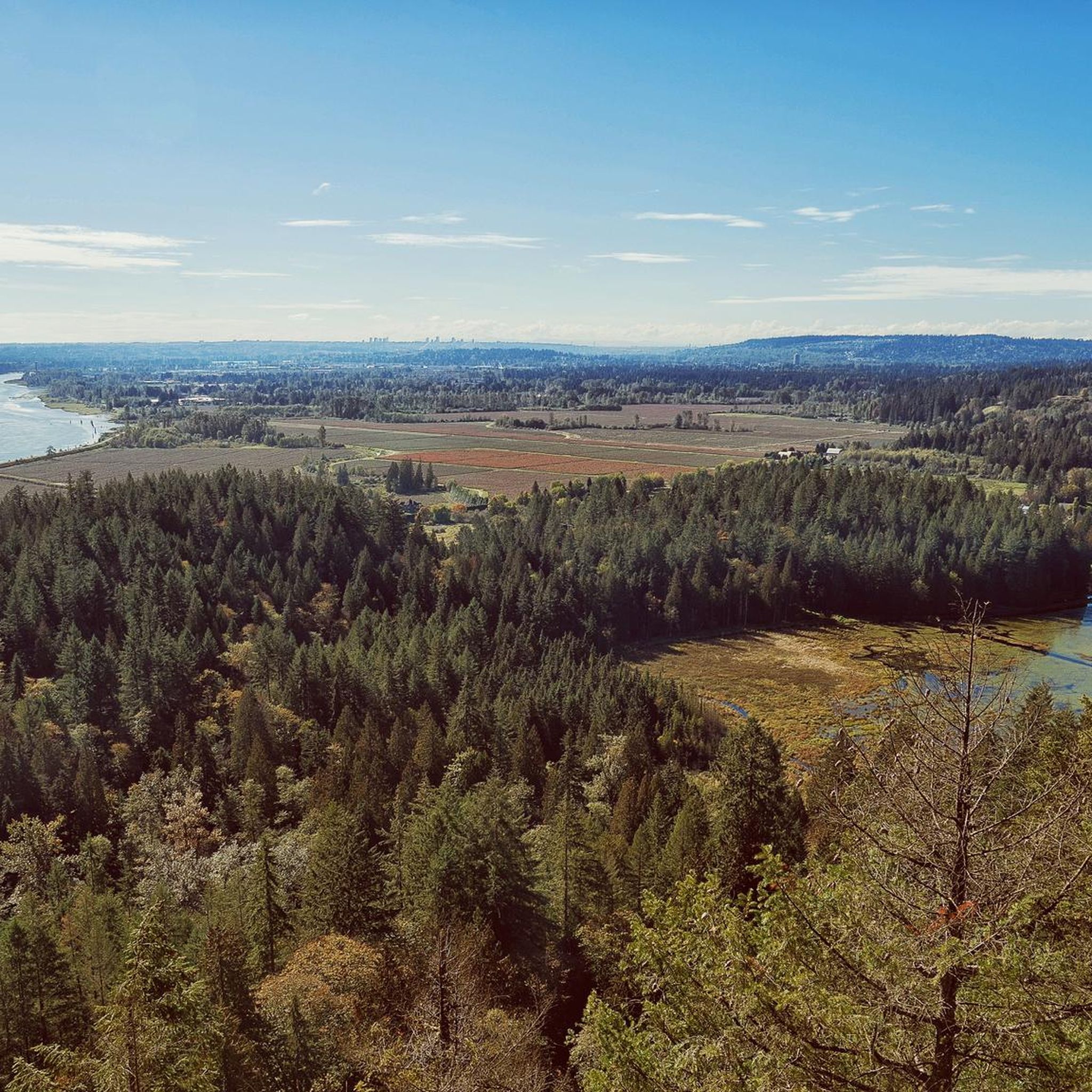
This beautiful river is a major tributary of the Fraser River that flows south from the Garibaldi Ranges, through Pitt Lake, before joining the Fraser River near Port Coquitlam. The lower stretches of the river are tidal, and the surrounding wetlands are home to a rich diversity of wildlife. The river also holds cultural significance for the Kwantlen First Nation, serving as a natural corridor that connects the coastal region with the interior of the province.
0
0
Frequently Asked Questions
How many touring cycling routes are available in Widgeon Marsh Regional Park Reserve?
There are over 4 touring cycling routes available in Widgeon Marsh Regional Park Reserve, all of which are rated as easy, making them suitable for a wide range of cyclists.
What kind of terrain can I expect on the cycling routes?
The park features diverse landscapes, including vast wetlands and steep forests. Cyclists can enjoy multi-use paved greenway pathways, including a significant four-kilometer accessible paved trail within the park. While internal park roads are paved, be aware that the road leading to the park entrance (Quarry Road) has gravel sections.
Are there any scenic viewpoints or natural features to see along the routes?
Yes, the park offers sweeping mountain views that provide a stunning backdrop to the tranquil wetlands. You can also find marsh boardwalks designed for wildlife observation and a dedicated waterfall viewing area. The landscape includes distinct ecosystems like marshes, swamps, fens, and bogs, with a salmon stream flowing through dark evergreen forests.
Are the cycling routes suitable for families or beginners?
Absolutely. All touring cycling routes in Widgeon Marsh Regional Park Reserve are rated as easy, making them ideal for families and beginner cyclists. The paved greenway pathways offer accessible rides for various fitness levels.
Can I bring my dog on the cycling trails?
To protect the sensitive habitats and diverse wildlife within Widgeon Marsh Regional Park Reserve, dogs are generally not permitted on the trails.
Is parking available, and are there any restrictions?
Access to the park requires a parking reservation for vehicles. However, access by bicycle or walking is unlimited and does not require a reservation.
What amenities are available within the park, such as drinking water or cell service?
Visitors should be prepared as cell service can be limited within the park, and there is no access to drinking water. It's advisable to bring your own water and ensure you have any necessary communication plans in place.
Are there any circular cycling routes available?
Yes, all the touring cycling routes listed for Widgeon Marsh Regional Park Reserve are loops. For example, you can explore the Alouette River – Heron Rookery loop from Port Coquitlam, which is an easy 7.7-mile (12.4 km) trail offering views of wetlands and waterways.
What do other touring cyclists enjoy most about cycling in Widgeon Marsh Regional Park Reserve?
The area is highly rated by the komoot community, with an average score of 4.2 stars from over 5 reviews. Cyclists often praise the diverse landscapes, the tranquil wetlands, and the accessible paved pathways that make for enjoyable rides.
What kind of wildlife might I encounter while cycling?
Widgeon Marsh Regional Park Reserve is a rich habitat supporting a wide array of wildlife. You might spot over 100 bird species, various fish, amphibians, and larger animals like deer. Bears and cougars are also present, so it's important to be aware of your surroundings.
How can I access the park by bicycle from outside its immediate vicinity?
Cyclists can connect to the park via routes like the PoCo Trail, which passes Minnekhada Regional Park and leads towards Widgeon Marsh. While the road leading directly to the park entrance (Quarry Road) has gravel sections, the internal park roads are paved for easier cycling.
Are there any longer routes for more experienced touring cyclists?
While all routes are rated easy, some offer a longer distance. For instance, the Hyde Creek Salmon Hatchery – Pitt River Bridge loop from Lincoln Park is an easy 12.6-mile (20.4 km) route that provides a more extended touring experience through varied landscapes.
Most popular routes in Widgeon Marsh Regional Park Reserve

Get inspired with the komoot mobile app


Explore more
Browse the best Cycling routes in other regions.
