The best walks and hikes in Widgeon Marsh Regional Park Reserve
4.8
(28)
525
hikers
16
hikes
Hiking in Widgeon Marsh Regional Park Reserve offers access to a diverse natural landscape in northeast Coquitlam, British Columbia. The park features extensive wetland ecosystems, including marshes, swamps, fens, and bogs, which constitute about two-thirds of its area. Beyond the wetlands, the terrain includes steep forests with varied ecosystems and areas offering mountain views. Widgeon Creek and Widgeon Slough are significant water features within the park.
Best hiking trails in Widgeon Marsh Regional Park Reserve
- The most popular hiking route is Widgeon Falls loop — Pinecone Burke Provincial Park, a 3.8 miles (6.0 km) trail that takes 1 hour 44 minutes to complete, featuring a moderate ascent.
- Another top favourite among local hikers is Pitt River Bank Walk loop from Widgeon Marsh Regional Park, an easy 4.1 miles (6.5 km) path. This route offers minimal elevation gain along the river bank.
- Local hikers also love the Widgeon Lake Trail — Pinecone Burke Provincial Park, an 11.6 miles (18.7 km) trail leading through varied terrain with significant elevation gain, often completed in about 6 hours 13 minutes.
- Hiking in Widgeon Marsh Regional Park Reserve is defined by vast wetland ecosystems, steep forests, and scenic mountain vistas. The network offers options for different ability levels, from easy walks to more challenging routes.
- The routes in Widgeon Marsh Regional Park Reserve are highly rated by the komoot community with an average score of 4.9 stars from more than 20 reviews. More than 400 hikers have used komoot to explore Widgeon Marsh Regional Park Reserve's varied terrain.
Last updated: October 8, 2026
5.0
(2)
64
hikers
6.04km
01:44
100m
100m
Moderate hike. Great for any fitness level. Mostly accessible paths. Sure-footedness required.
3
hikers
18.7km
06:13
810m
810m
Hard hike. Very good fitness required. Easily-accessible paths. Suitable for all skill levels.

5.0
(4)
57
hikers
6.57km
01:40
10m
10m
Easy hike. Great for any fitness level. Easily-accessible paths. Suitable for all skill levels.
5.0
(1)
7
hikers
10.2km
02:34
10m
10m
Moderate hike. Good fitness required. Easily-accessible paths. Suitable for all skill levels.
2
hikers
2.90km
01:02
80m
80m
Hike the moderate 1.8-mile Addington Lookout via Fern Trail in Minnekhada Regional Park, offering forest, marsh views, and wildlife.
Get access to more routes and recommendations from other explorers.
Already have an account?
Our route recommendations are based on thousands of hikes, rides, and runs completed by other people on komoot.
Start today with a free account
Your next adventure awaits.
Popular around Widgeon Marsh Regional Park Reserve
Tips from the Community

Widgeon Lake Trail is a backcountry route in Pinecone Burke Provincial Park that links paddling and hiking. Hikers can expect a rugged, less-maintained trail with roots, mud, and uneven footing. It can get steep in places, but reaching the stunning Widgeon Lake is worth the strenuous climb. The trail also follows Widgeon Creek, with the opportunity to see large and small waterfalls along the way.
0
0
The southern shore of Widgeon Lake features a handful of designated backcountry camp sites managed by BC Parks. These sites sit right on the water’s edge or just a short walk from it. These campsites are primitive, with no electricity and no running water.
0
0
Get your first view of Widgeon Lake from a break in the trees while ascending Widgeon Lake Trail. Water levels can change dramatically with rainfall and snowmelt, so this lake may look different each visit.
0
0

The Fern Trail at Minnekhada Regional Park is a lovely shaded path through second-growth forest, linking the Lodge Trail to the Quarry Trail and High Knoll. It’s relatively steep in sections but well-marked, with dense ferns, mossy trunks, and a quiet, enclosed feel. It’s a fantastic connector trail, with options to access higher viewpoints or complete longer loops to explore more across the park’s eastern ridge.
0
0
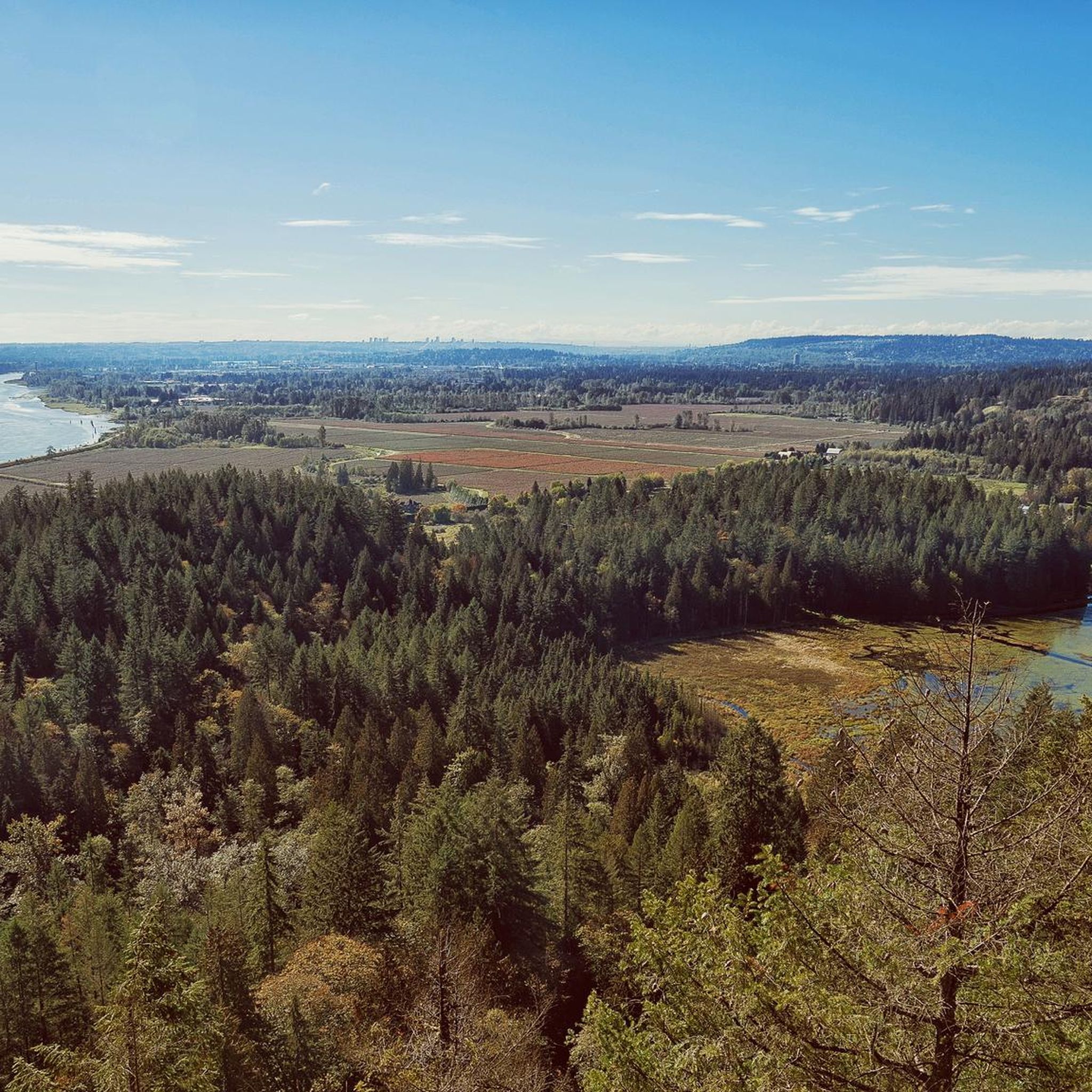
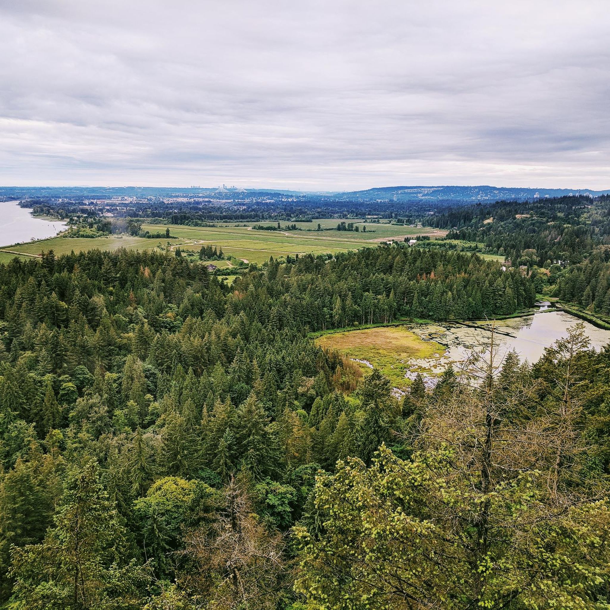
This viewpoint is an excellent place for expansive, unobstructed views across the wetland. It’s an easy walk from the main parking area and a reliable spot for birdwatching, especially in spring and summer. Visitors often see herons, ducks, and other wetland birds feeding or nesting in the open marsh. There are several picnic tables and restrooms nearby, making it a great spot for a scenic lunch before or after exploring the trails in this beautiful area.
0
0

The Widgeon Creek Campsite is a primitive, first-come, first-served campsite. The accommodations include an outhouse, picnic tables, several tent pads, and a beach.
0
0
Widgeon Falls is a series of small waterfalls created by Widgeon Creek. It's a great place to relax in the sunshine and a great spot in the summer for a swim when the water levels are lower.
0
0
Addington Lookout is a viewpoint from the top of a knoll in the 200-plus hectare Minnekhada Regional Park. It's a great view from Metro Vancouver, and if you get there for sunrise you are more likely to see deer and moose.
0
0
Frequently Asked Questions
What kind of terrain can I expect when hiking in Widgeon Marsh Regional Park Reserve?
Widgeon Marsh Regional Park Reserve offers a diverse landscape. You'll find extensive wetland ecosystems, including marshes, swamps, fens, and bogs, which make up about two-thirds of the park. Beyond the wetlands, there are lush, steep forests with varied ecosystems and areas that provide sweeping mountain views. Trails range from scenic forest paths to paved greenway pathways.
Are there any easy hiking routes suitable for beginners or families?
Yes, the park offers several accessible and easy routes. For instance, the Pitt River Bank Walk loop from Widgeon Marsh Regional Park is an easy 6.5 km path with minimal elevation gain. Another accessible option is the Heron Cove loop from Burke Mountain, which is about 7.1 km. The park also features a recently upgraded 2.5 km route to a meadow and an additional 800m path to the marsh edge, as well as a four-kilometer accessible paved trail.
Can I bring my dog on the trails in Widgeon Marsh Regional Park Reserve?
Due to the park's status as an ecologically sensitive area, dogs are generally not permitted on the trails. This policy helps protect the critical habitat for over 100 bird species, various fish, amphibians, and large animals like bears, cougars, and deer. Service animals are an exception.
What natural features or landmarks can I see while hiking?
The park is rich in natural features. You can explore vast wetland ecosystems, including the largest freshwater marsh in southwest British Columbia, often via marsh boardwalks. There's also a dedicated waterfall viewing area, and you'll encounter Widgeon Creek and Widgeon Slough, which are vital fish spawning habitats. Scenic viewpoints throughout the park offer breathtaking mountain vistas.
How many hiking trails are available in Widgeon Marsh Regional Park Reserve?
There are nearly 20 hiking routes available in Widgeon Marsh Regional Park Reserve. These trails cater to various ability levels, from easy walks to more challenging, longer routes.
Are there any longer or more challenging hikes for experienced hikers?
Yes, for experienced hikers seeking a challenge, the Widgeon Lake Trail — Pinecone Burke Provincial Park is a difficult 18.7 km route with significant elevation gain, typically taking over 6 hours to complete.
What do other hikers say about Widgeon Marsh Regional Park Reserve?
The area is highly rated by the komoot community, with an average score of 4.9 stars from more than 20 reviews. Hikers often praise the profound calm and untouched nature, highlighting it as a quiet escape and appreciating the diverse natural landscape.
Is there parking available at Widgeon Marsh Regional Park Reserve?
While vehicle access to the park generally requires reservations, there are alternative ways to reach the park. You can cycle in or utilize the free weekend shuttle service, which provides access to this ecologically significant area.
What is the best time of year to visit Widgeon Marsh Regional Park Reserve for hiking?
The park offers unique experiences throughout the year. Spring and fall are excellent for birdwatching due to migratory patterns. Summer provides pleasant conditions for exploring the diverse ecosystems. Winter hiking is also possible, though visitors should be prepared for cooler, potentially wet conditions and check for any seasonal advisories.
Are there any circular hiking routes in the park?
Yes, several routes in the park are circular. For example, the popular Widgeon Falls loop — Pinecone Burke Provincial Park is a moderate 6.0 km circular trail. Another option is the Osprey Basin – Munmunta Basin loop from Burke Mountain, which is a moderate 13.0 km loop.
What kind of wildlife might I encounter in Widgeon Marsh Regional Park Reserve?
Widgeon Marsh is a critical habitat for a wide array of wildlife. You might spot over 100 bird species, as well as large animals like bears, cougars, and deer. The wetlands and waterways also support at least seven fish species and nine amphibian species, including northwestern salamanders, red-legged frogs, and rough-skinned newts.
Are there any amenities like restrooms or water sources along the trails?
The park aims to offer a remote and untouched natural experience. Visitors often note limited cell service and no potable water sources within the park. It's advisable to come prepared with your own water and any other necessities, as amenities are minimal.
Most popular routes in Widgeon Marsh Regional Park Reserve

Get inspired with the komoot mobile app


Explore more
Browse the best Hikes in other regions.
