The best running trails in Westridge-Canyonback Wilderness Park
4.7
(79)
10,088
runners
186
runs
Jogging in Westridge-Canyonback Wilderness Park offers diverse terrain across its expansive natural landscapes. The park features a network of wide fire roads and challenging single-track trails that traverse deep canyons and follow prominent ridgelines. Joggers can experience Southern California chaparral and oak groves, alongside panoramic vistas of the Pacific Ocean, Los Angeles Basin, and San Fernando Valley. This varied environment provides options for different fitness levels, from even surfaces to more technical paths.
Best jogging routes in Westridge-Canyonback Wilderness Park
…Last updated: October 10, 2026
13
runners
16.6km
02:03
510m
510m
Hard run. Very good fitness required. Sure-footedness, sturdy shoes and alpine experience required.
5
runners
28.0km
03:37
850m
850m
Hard run. Very good fitness required. Sure-footedness, sturdy shoes and alpine experience required.

7
runners
7.64km
00:54
240m
230m
Moderate run. Good fitness required. Mostly paved surfaces. Suitable for all skill levels.
5.0
(1)
109
runners
Hard run. Very good fitness required. Mostly paved surfaces. Suitable for all skill levels.
14
runners
Hard run. Very good fitness required. Mostly paved surfaces. Suitable for all skill levels.
Get access to more routes and recommendations from other explorers.
Already have an account?
Our route recommendations are based on thousands of hikes, rides, and runs completed by other people on komoot.
Start today with a free account
Your next adventure awaits.
Popular around Westridge-Canyonback Wilderness Park
Tips from the Community

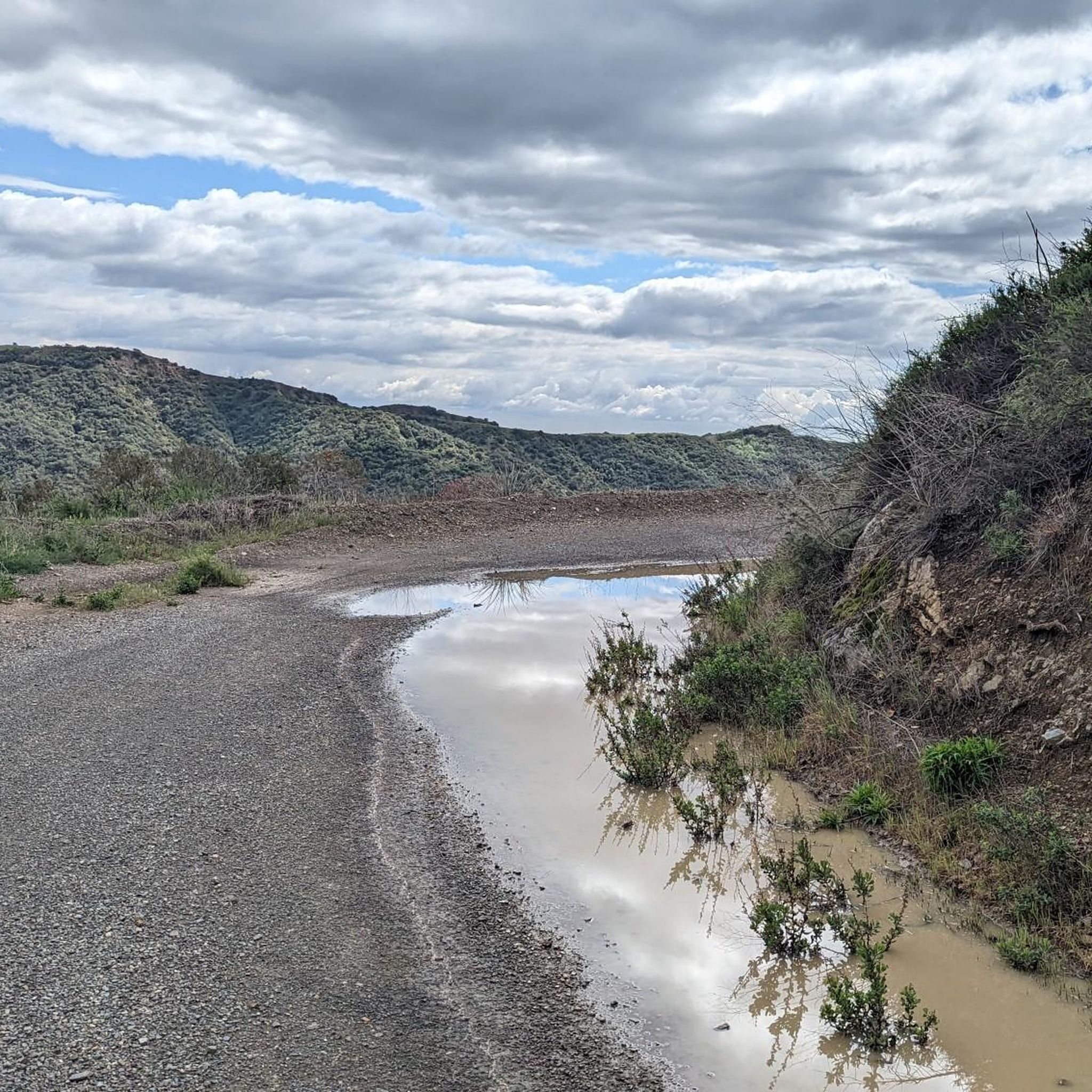
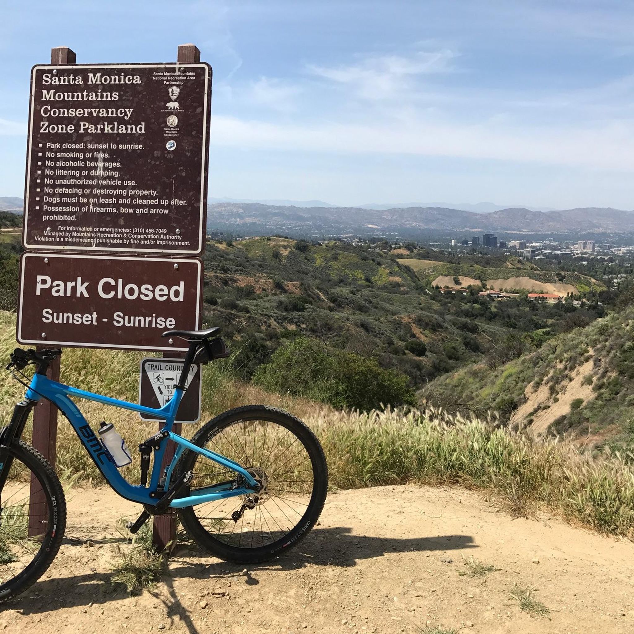
This section of Mulholland Drive is unpaved, making it hugely popular with mountain and gravel bikers. It's also a useful part of hiking the Caballero Canyon outer loop, or tying in to the other north/south trails in this area for some shorter loops. You get expansive views all along the road.
0
0

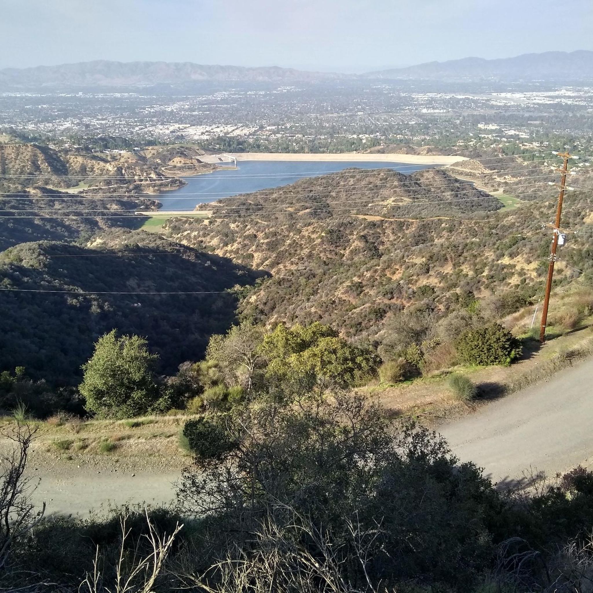
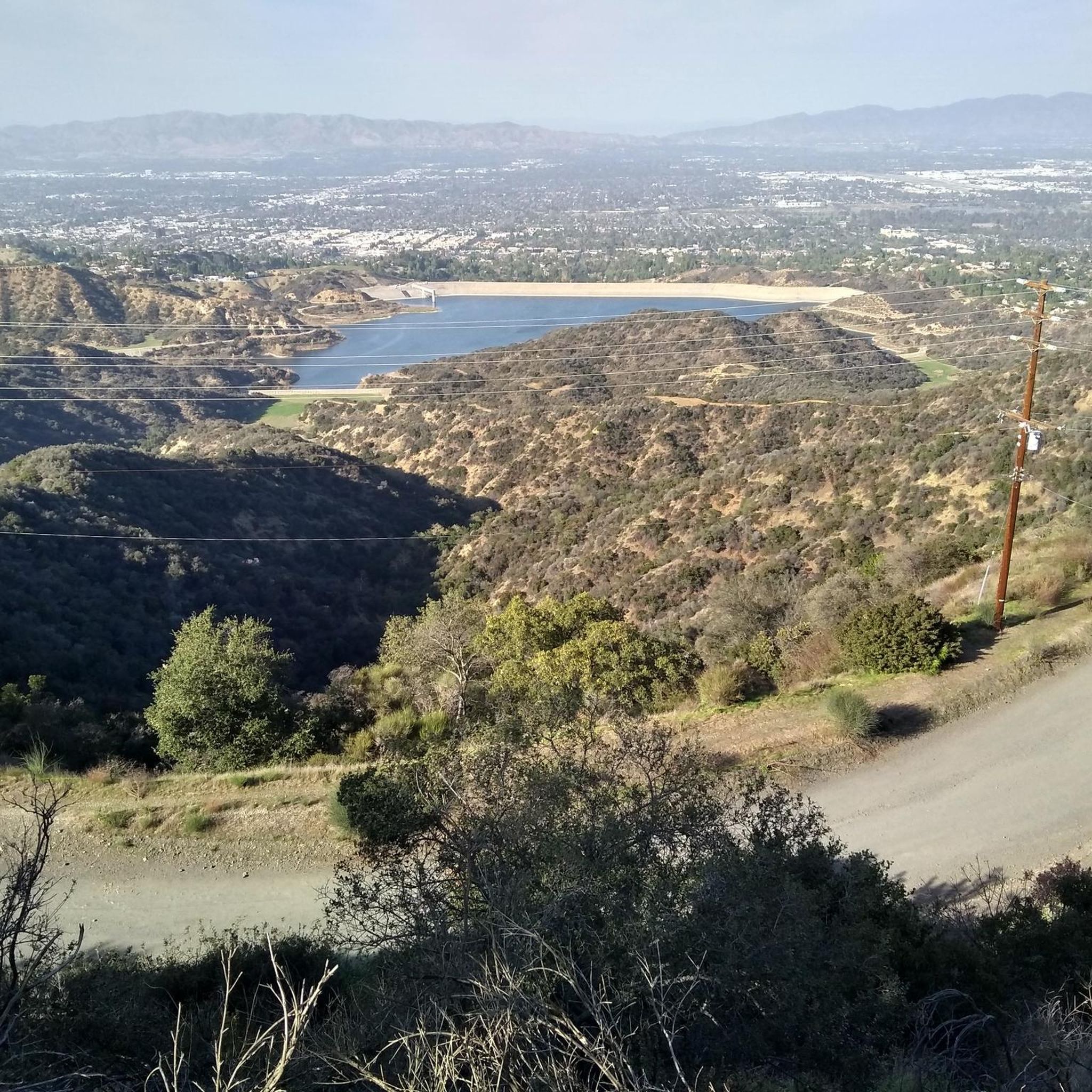
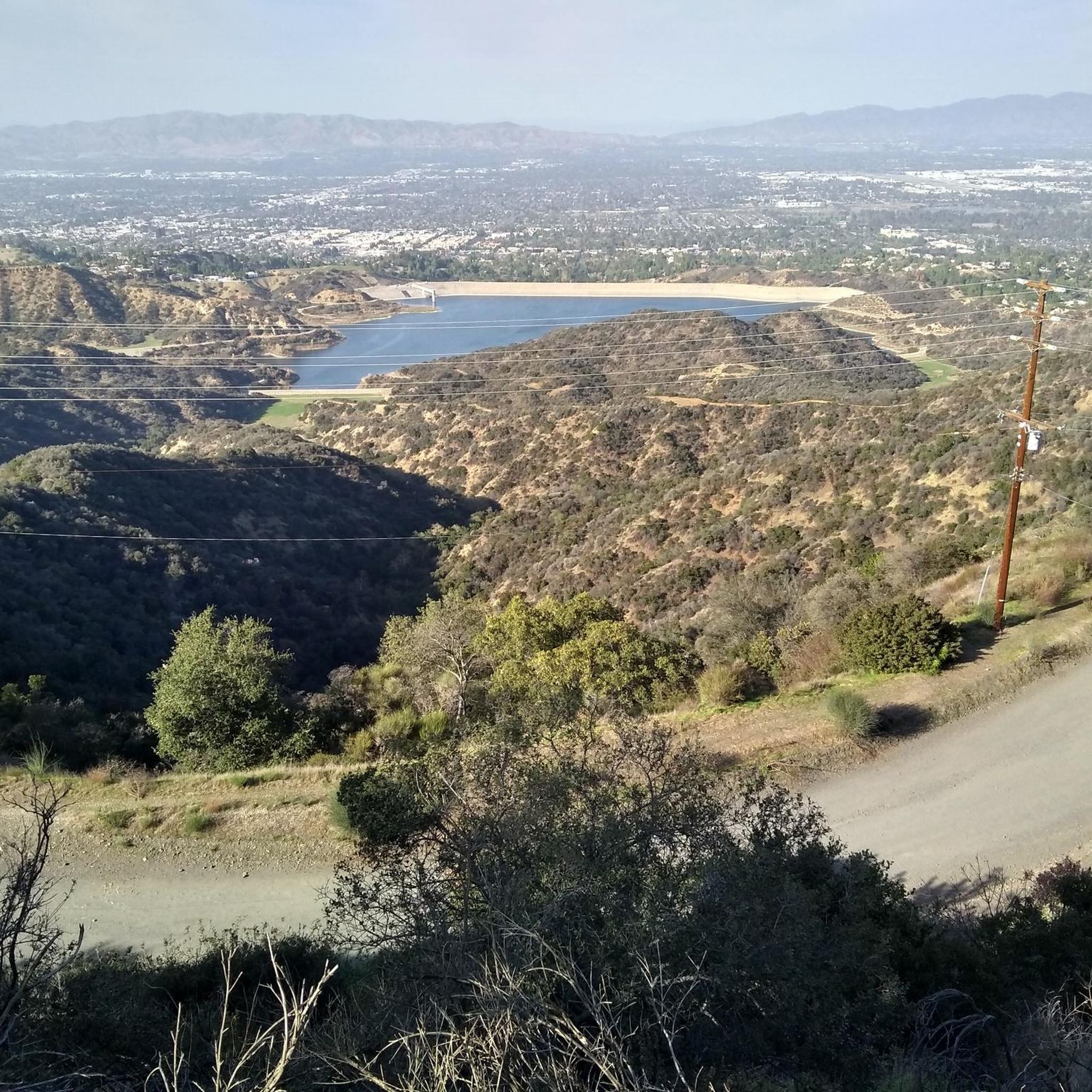
San Vicente Mountain Park, located 2.7 miles west of the 405 freeway on an unpaved section of Mulholland Drive, has awesome 360-degree views and access to extensive hiking, mountain biking, and equestrian trails. The 10.2-acre park has public picnic areas, bathrooms, and is a gateway to Westridge Canyonback Park and the 20,000-acre “Big Wild” wilderness area. A short walk along a wide dirt road leads visitors to this historic site, which once housed a Nike-Ajax missile radar station during the Cold War (1956–1968). The original radar tower now provides panoramic views of the Santa Monica Mountains, Encino Reservoir, San Fernando Valley, and Los Angeles Basin, making it one of the best spots in the region to watch a sunset.
1
0
This is a handy connector trail, used mostly to go downhill from The Hub to the Bent Arrow Trail, or you can keep going all the way to Mulholland Drive with a climb at the very end.
0
0

Your climb up to the ridgeline will be rewarded with an excellent view of the surrounding area.
0
0

From here there is a perfect 360 degree view. Santa Monica mountains are completely visible in good weather
0
1

Temescal Canyon Road is a great dirt road to ride. Whether you're grinding uphill or zipping down, this is a great path to use to connect the northern and southern paths in the Temescal Peak area.
0
0

The central stretch of this iconic highway remains unpaved, safeguarding it from vehicular traffic. Nearly a century ago, visionary engineer Mulholland carved it along the crest of the Santa Monica Mountains, linking Los Angeles to the beaches east of Malibu. The route offers uninterrupted views, primarily to the north, throughout its entirety.
0
0

This is a great little summit, it makes for a good effort just to get here. The views from this platformed type summit with its raised observation tower is super good. You get great vistas of the Santa Monica Mountains, Encino Reservoir and the San Fernando Valley. There is a restroom and a toilet here.
0
0
Frequently Asked Questions
How many running routes are available in Westridge-Canyonback Wilderness Park?
Westridge-Canyonback Wilderness Park offers a wide selection of over 180 running routes. These trails cater to various skill levels, from easy paths to more challenging routes with significant elevation gain.
Are there easy running trails for beginners in Westridge-Canyonback Wilderness Park?
Yes, the park features approximately 17 easy running routes, many of which utilize wide fire roads or mostly paved surfaces. These are ideal for beginners or those looking for a less strenuous jog. The varied terrain ensures options for all fitness levels.
What kind of terrain can I expect on the jogging routes in Westridge-Canyonback Wilderness Park?
The park's terrain is diverse, featuring a mix of wide fire roads and challenging single-track trails. You'll traverse deep canyons and follow prominent ridgelines, experiencing Southern California chaparral and oak groves. Trails range from even surfaces to technical paths requiring sure-footedness.
Are there any challenging running routes for experienced runners?
Absolutely. Westridge-Canyonback Wilderness Park is home to nearly 60 difficult running routes, offering significant elevation gain and demanding workouts. For example, the Backbone Trail and Westridge Fire Road Loop is a challenging 17.4-mile trail leading through prominent ridgelines and canyons.
Can I bring my dog on the running trails in Westridge-Canyonback Wilderness Park?
Yes, Westridge-Canyonback Wilderness Park is notably dog-friendly. It's one of the few places in Los Angeles where dogs are permitted off-leash on trails, provided they are under recall and you carry a leash. This makes it a great destination for runners who want to bring their canine companions.
Are there any circular running routes in the park?
Yes, many of the park's trails are designed as loops, offering varied scenery without retracing your steps. A popular option is the San Vicente Mountain Park loop from Mulholland Drive, a moderate 4.7-mile path with extensive views.
What are some scenic viewpoints or landmarks I can see while jogging?
The park offers breathtaking panoramic views of the Pacific Ocean, the Los Angeles Basin, and the San Fernando Valley. Notable landmarks include the San Vicente Mountain Nike Missile Radar Tower, which provides an excellent observation point, and the San Vicente Mountain Viewpoint. The West Mandeville Fire Road is also lauded for its scenic outlooks.
What do other runners enjoy most about jogging in Westridge-Canyonback Wilderness Park?
The running routes in Westridge-Canyonback Wilderness Park are highly rated by the komoot community, with an average score of 4.7 stars from over 60 reviews. Runners frequently praise the diverse terrain, the stunning panoramic vistas, and the extensive network of trails that cater to all abilities.
Are there any longer running routes for endurance training?
For those seeking longer runs, the park offers several extensive options. The Sullivan Canyon and Westridge Loop is a demanding 10.3-mile trail, while the Backbone Trail and Westridge Fire Road Loop stretches to 17.4 miles, providing ample distance for endurance training.
Is Westridge-Canyonback Wilderness Park suitable for family runs?
Yes, the park's varied trail system includes options suitable for families. The presence of wide fire roads and less technical paths means that families with different fitness levels can find enjoyable routes. The scenic views and natural environment make for a pleasant outdoor experience for all.
Where can I find parking for the jogging trails?
The park is accessible from both the San Fernando Valley and West Los Angeles, with various entry points. Specific parking information can often be found at the trailheads themselves. For general information about the park's access, you may consult the official park website: mrca.ca.gov.
What is the best time of year to go running in Westridge-Canyonback Wilderness Park?
While the park is accessible year-round, the cooler months from fall through spring generally offer more comfortable running temperatures. During summer, it's advisable to run early in the morning or late in the afternoon to avoid the midday heat. Always bring plenty of water, regardless of the season.
Most popular routes in Westridge-Canyonback Wilderness Park
Most popular attractions in Westridge-Canyonback Wilderness Park

Get inspired with the komoot mobile app


Explore more
Browse the best Running Trails & Routes in other regions.
