The best walks and hikes in Montaña De Oro State Park
4.7
(89)
1,303
hikers
35
hikes
Hikes in Montaña De Oro State Park cover a varied landscape on the California coast. The region is characterized by rugged coastal bluffs, sandy coves, and inland canyons that rise to prominent peaks. The trail network offers routes along the shoreline as well as more strenuous climbs to viewpoints overlooking the Pacific Ocean.
Best hiking trails in Montaña De Oro State Park
- The most popular hiking route is Spooner Cove & Bluff Trail loop, a 2.2 mile (3.6 km)…
Last updated: September 27, 2026
5.0
(4)
57
hikers
14.5km
03:57
210m
190m
Moderate hike. Good fitness required. Easily-accessible paths. Suitable for all skill levels.
6
hikers
14.4km
04:06
330m
330m
Moderate hike. Good fitness required. Easily-accessible paths. Suitable for all skill levels.

2
hikers
4.42km
01:33
370m
40m
Moderate hike. Good fitness required. Easily-accessible paths. Suitable for all skill levels.
1
hikers
9.55km
02:56
510m
70m
Moderate hike. Good fitness required. Easily-accessible paths. Suitable for all skill levels.
10.0km
02:43
130m
160m
Moderate hike. Good fitness required. Easily-accessible paths. Suitable for all skill levels.
Get access to more routes and recommendations from other explorers.
Already have an account?
Our route recommendations are based on thousands of hikes, rides, and runs completed by other people on komoot.
Start today with a free account
Your next adventure awaits.
Tips from the Community


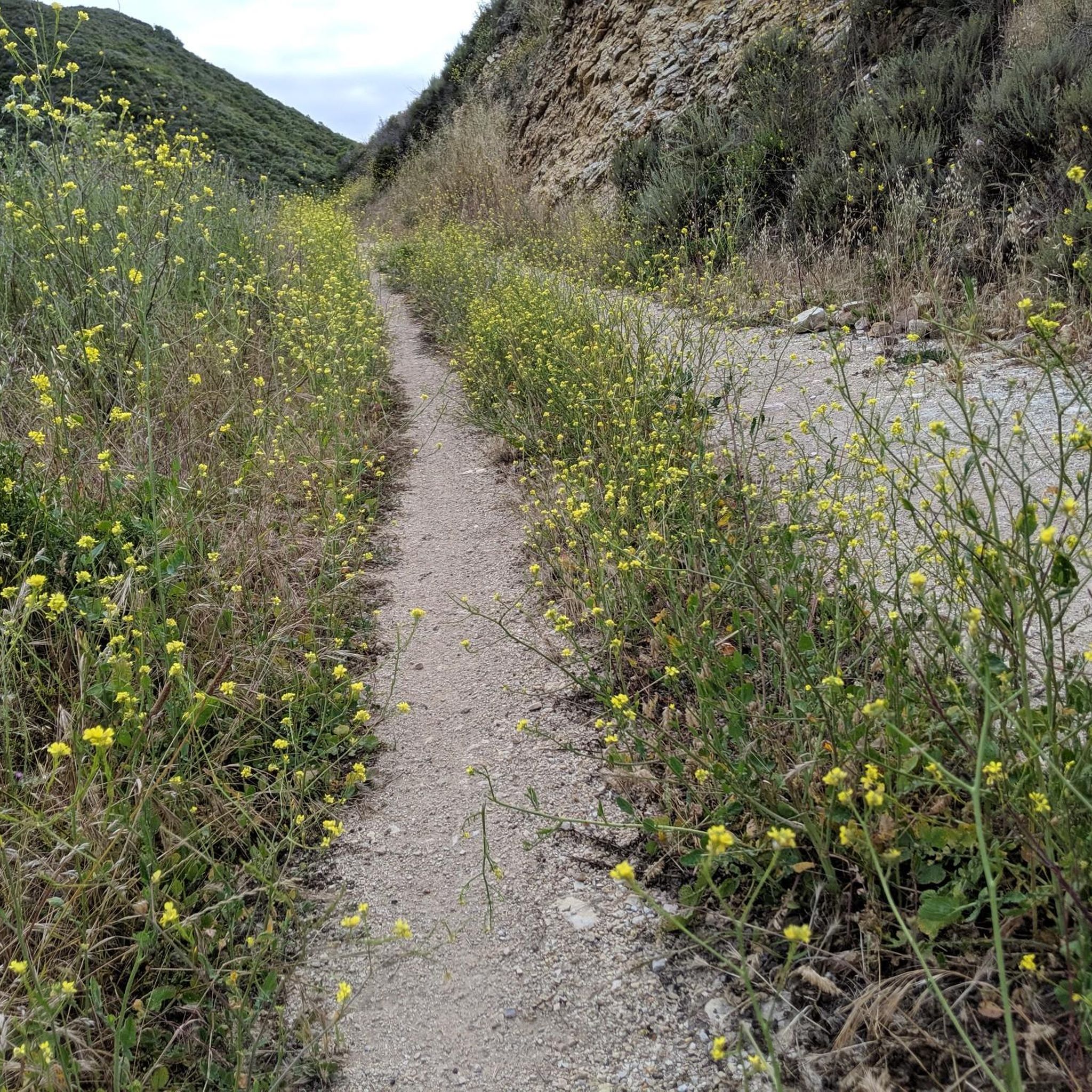
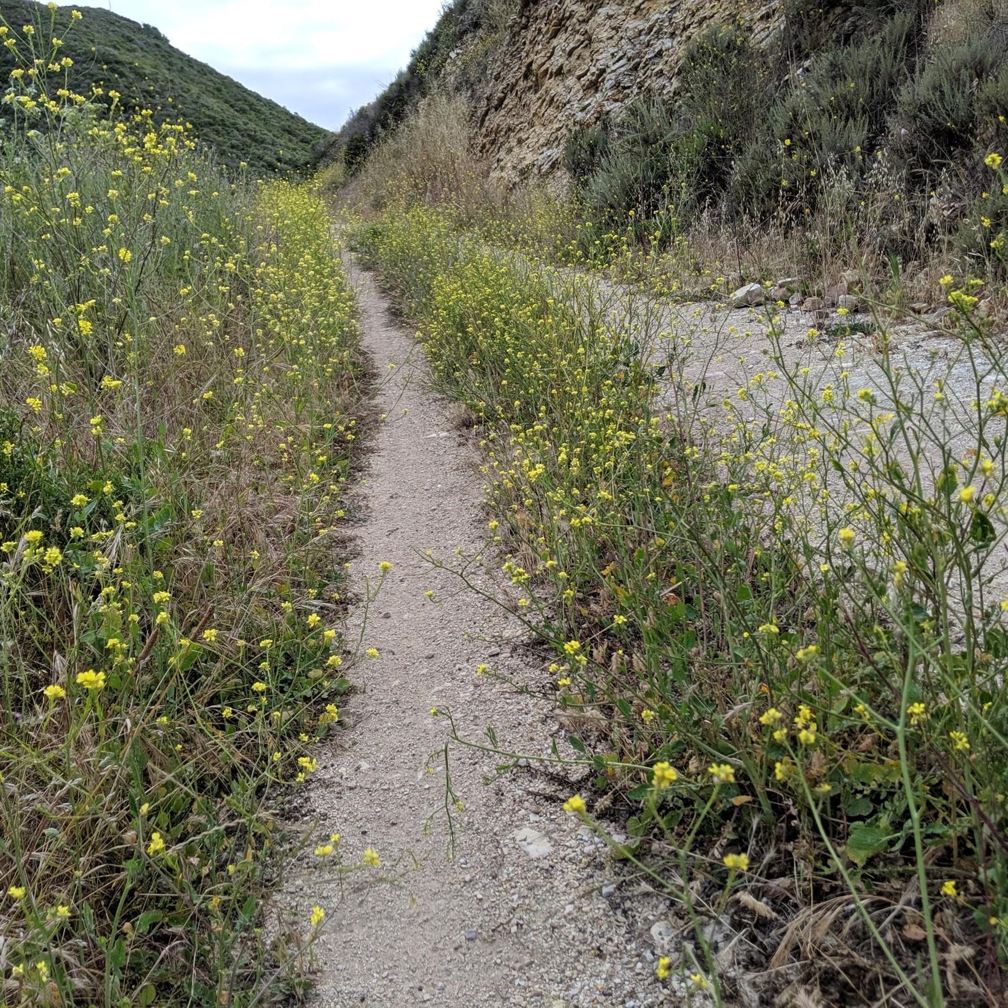
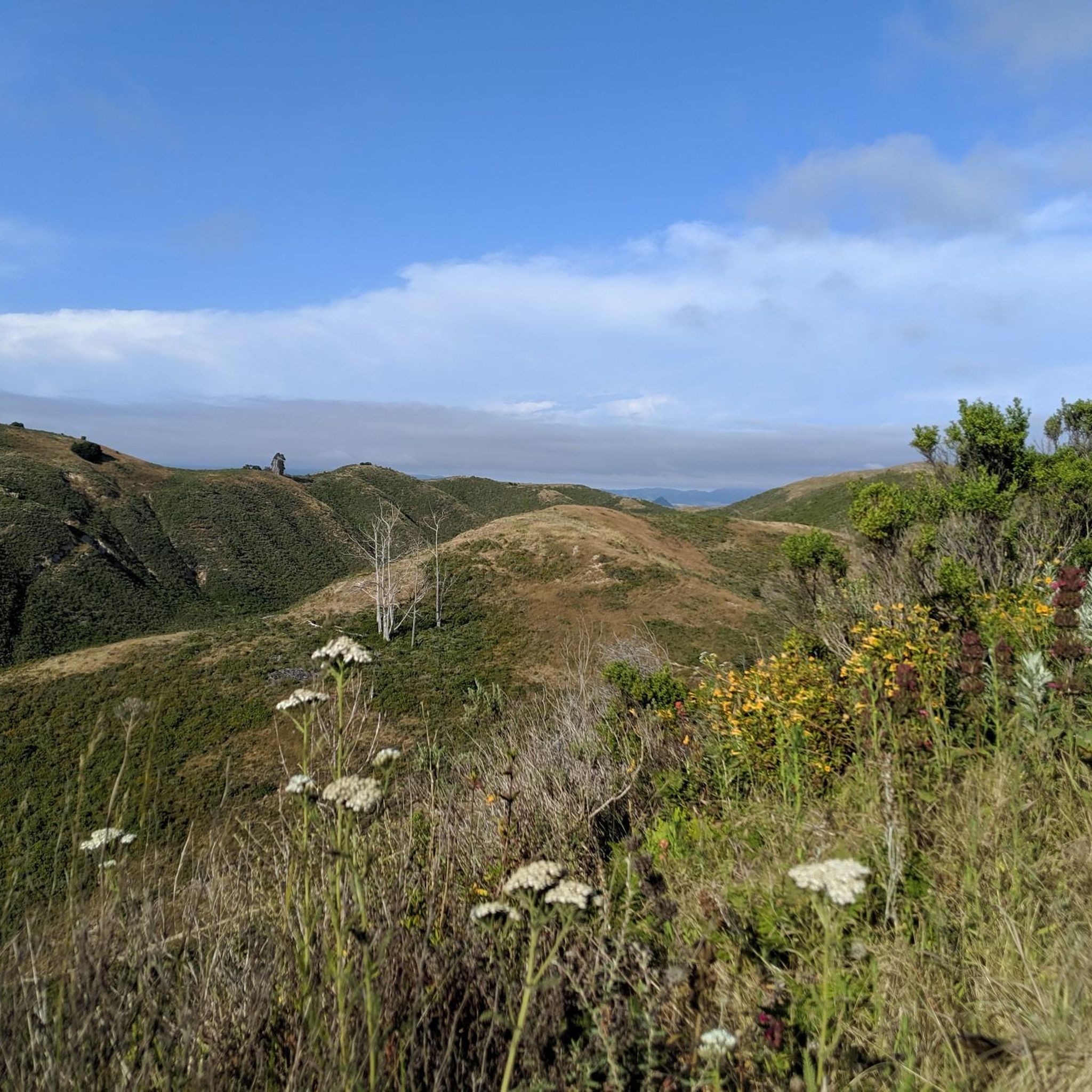
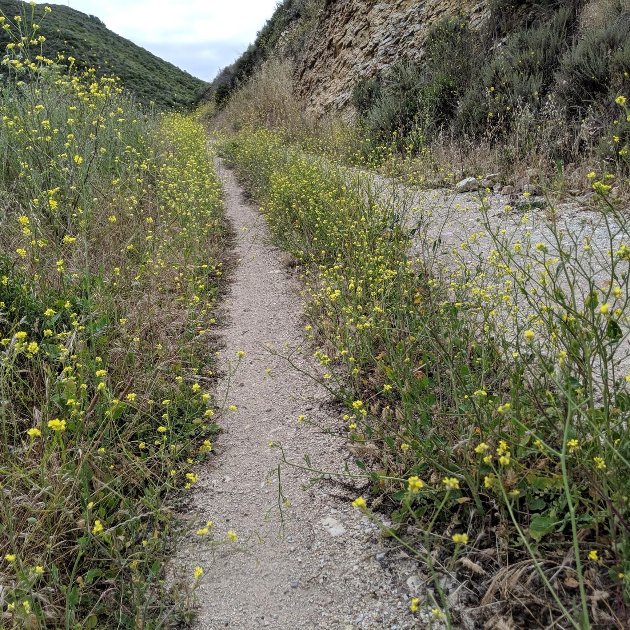
Hazard Peak stands at 1,076 feet, making it one of the highest peaks in the area. Don't be misled by the name; it was named after Alexander Hazard, the previous landowner, and not because of any hazardous conditions. The views of the ocean and dunes from here are truly spectacular.
0
0


It is a pebbly beach with interesting rock formations where you can spend a nice day in the tide pools or exploring the caves.
0
0
The great views over the Irish Hills and the ocean are rewards of this climb. Take a deep breath and enjoy the landscape before you leave the peak.
0
0

This was in January, but there seems to be some kind of wildlife all the time. We also saw a baby rattlesnake, a 🦎, a couple of sea otters, and a lot of birds. There are always amazing views.
0
0

There is a wonderful bike path (gravel) that winds along Montana State Park. It is easily ridden on a road bike. The views are epic.
1
0
Frequently Asked Questions
Are dogs allowed on the trails in Montaña de Oro State Park?
To protect the park's wildlife, dogs are not permitted on most hiking trails, in the backcountry, or on the beaches. They are allowed on-leash in campgrounds and on paved roads, including at Spooner's Cove. For the most current regulations, it's best to check the official Montaña de Oro State Park website.
What is a good easy hike for families or beginners?
The Spooner Cove & Bluff Trail loop is an excellent choice. It's a relatively flat 2.2-mile (3.6 km) walk along the coastal bluffs, offering fantastic ocean views and opportunities to spot sea otters and seals without much strenuous climbing.
I'm looking for a challenging hike. What do you recommend?
For a strenuous workout with rewarding views, consider the Oats Peak loop. This 12-mile (19.4 km) trail takes you inland through canyons and up to one of the park's highest points, providing expansive views of the surrounding hills and Morro Bay.
When is the best time to see wildflowers?
The park's name, 'Mountain of Gold,' comes from the vibrant wildflowers. The best time to see them is in the spring, typically from March to May, when California poppies and other flowers blanket the hillsides in color.
Are there any trails with great ocean views?
Many trails offer stunning coastal scenery. For a route that combines both coastal sections and an ascent to a panoramic viewpoint, the Ocean to Valencia Peak loop is a fantastic option. It provides dramatic views of the Pacific coastline from one of the park's highest peaks.
Can I go mountain biking in the park?
Yes, Montaña de Oro is popular with mountain bikers. Many of the multi-use trails, such as the Hazard Peak and Islay Creek trails, are open to bikes and offer thrilling rides with beautiful ocean backdrops.
What do other hikers think of the trails in Montaña de Oro?
The trails are highly regarded by the komoot community, with an average rating of 4.6 stars. Hikers frequently praise the dramatic coastal landscapes, the variety of trails for all skill levels, and the well-maintained paths.
How many hiking trails are in Montaña de Oro State Park?
There are over 25 distinct hiking routes to explore in Montaña de Oro State Park. The network ranges from easy, flat coastal walks to strenuous climbs up to the park's various peaks.
What should I wear or bring for a hike here?
The weather on the coast can change quickly. It's best to wear layers, as it can be foggy and cool in the morning and sunny and warm by the afternoon. Sturdy hiking shoes are recommended, especially for the rocky and steep peak trails. Always bring water and sun protection.
Where can I find a trail map?
While komoot provides detailed route maps for your phone, you can also download a general park map for an overview of the main trails. A PDF map is available from the official California Parks website: Montaña de Oro Trail Map.
Are there opportunities for backpacking?
Yes, the park has environmental campsites available for hikers. These are hike-in sites that offer a more primitive camping experience. You must reserve these in advance and pack in all your supplies, including water.
Is this a good area for trail running?
Absolutely. The park's diverse terrain makes it a great destination for trail running. The Bluff Trail offers a flat, scenic run, while trails like Hazard Peak and Valencia Peak provide challenging climbs for those seeking more elevation gain.
Most popular routes in Montaña De Oro State Park
Most popular attractions in Montaña De Oro State Park

Get inspired with the komoot mobile app


Explore more
Browse the best Hikes in other regions.
