The best cycling routes in Garin Regional Park Restricted Area
4.5
(80)
1,414
riders
96
rides
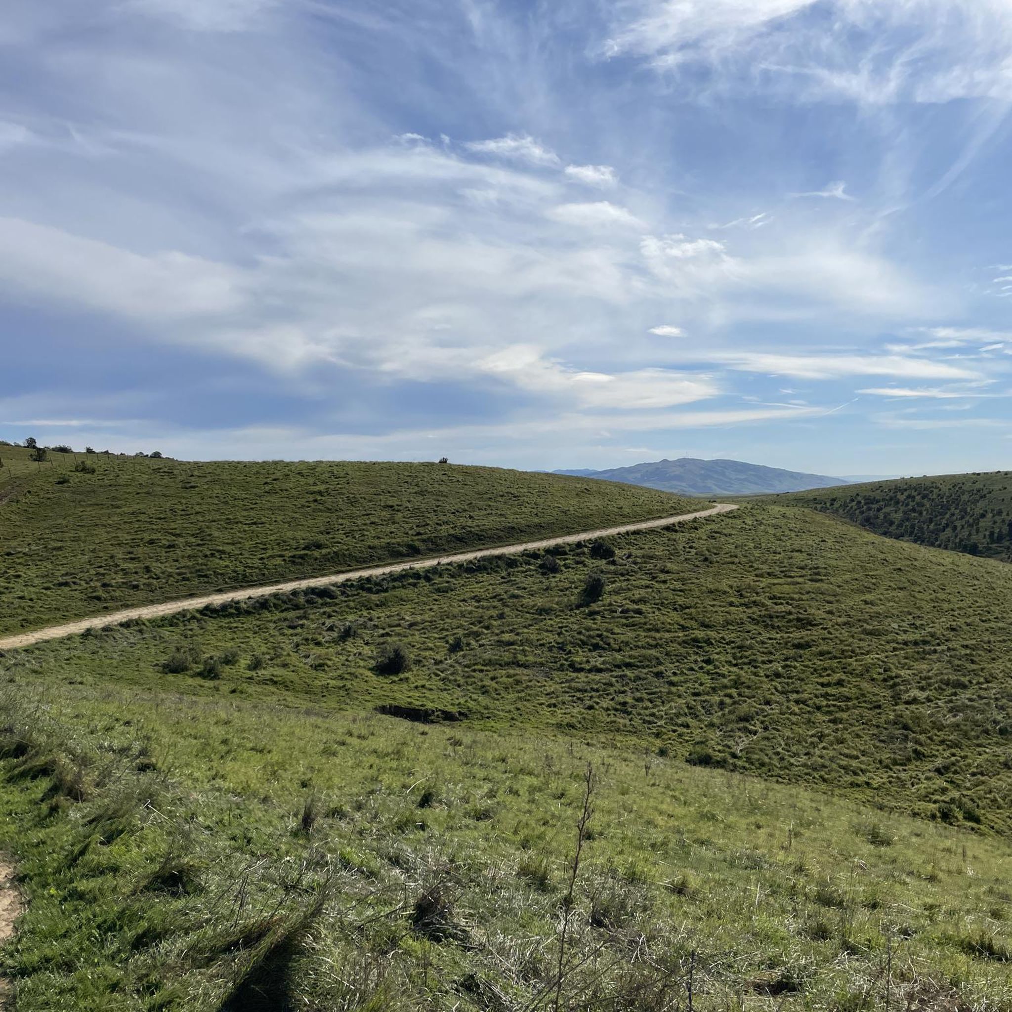
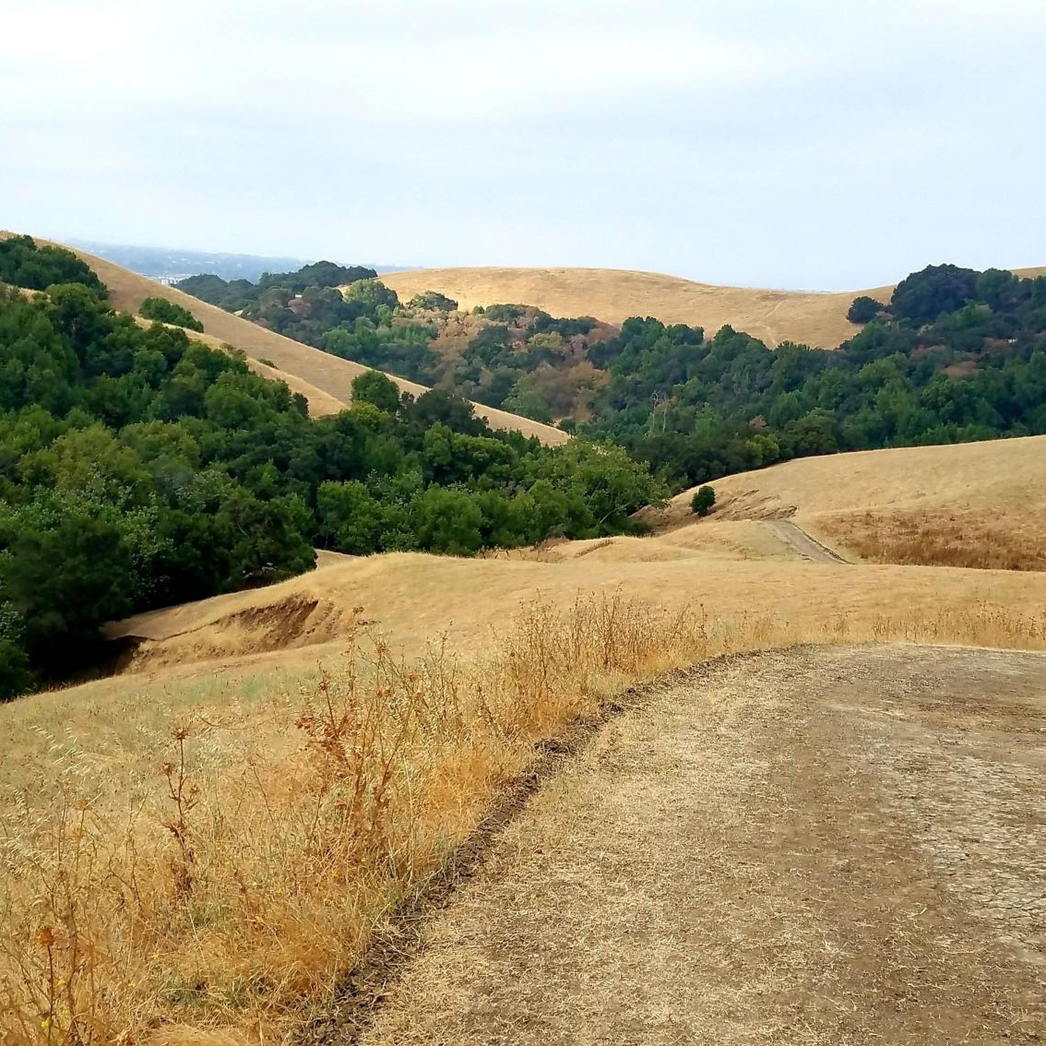
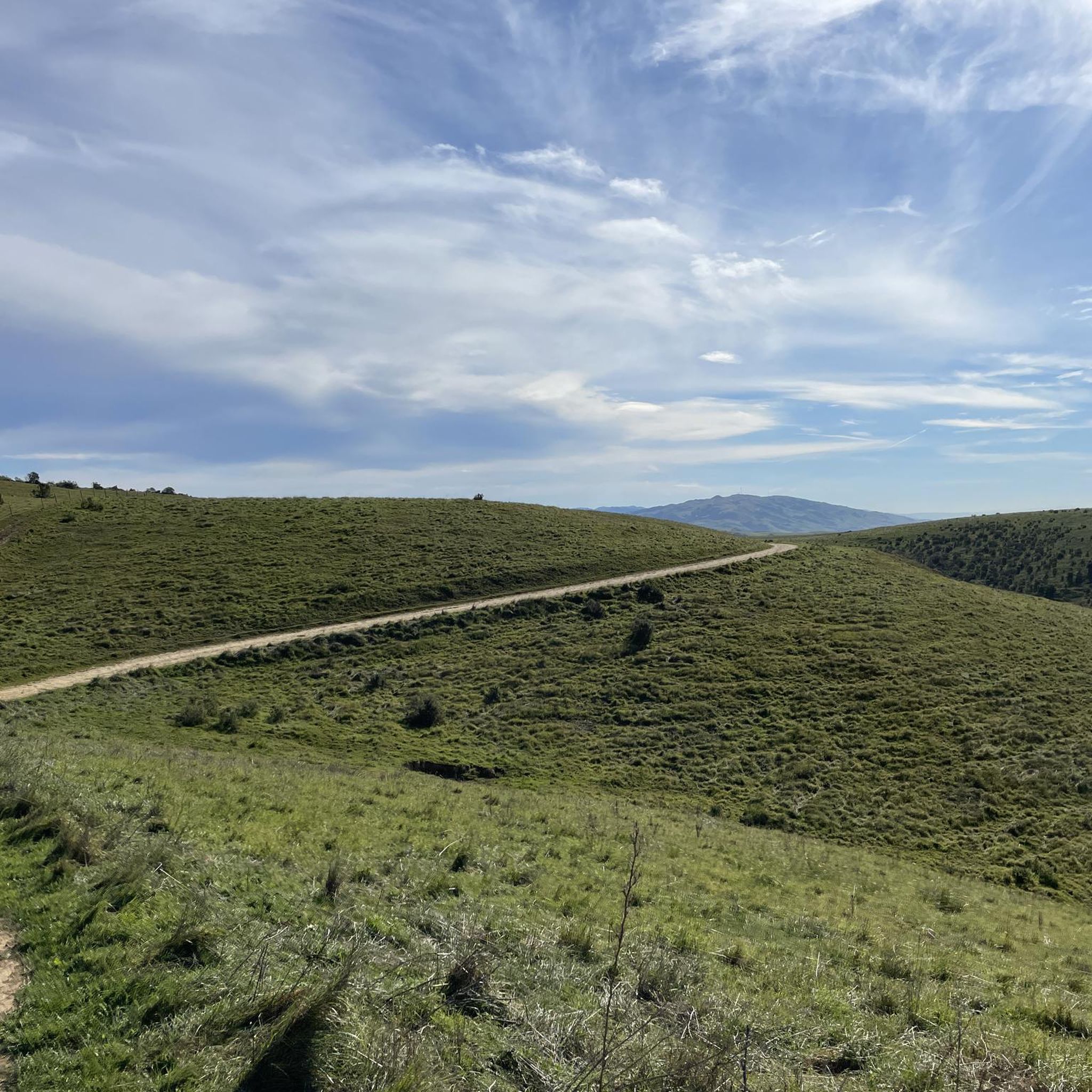
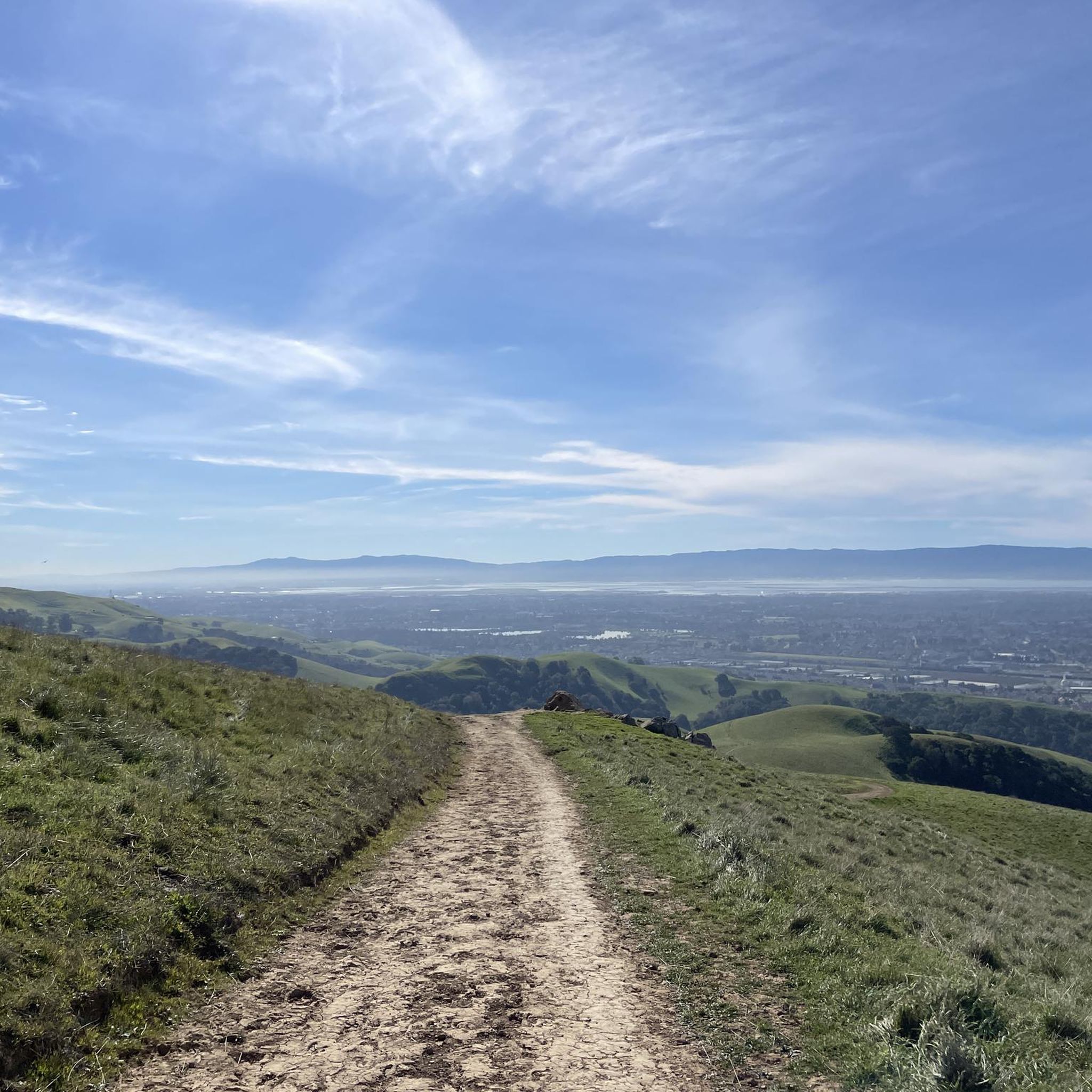
Touring cycling in Garin Regional Park Restricted Area offers routes across rolling hills with elevations up to 1,500 feet, providing expansive views of the San Francisco Bay and surrounding areas. The landscape features open grasslands, wooded canyons, and riparian zones. The park's terrain includes both unpaved fire roads, which can be steep, and some paved sections, accommodating various cycling preferences.
Best touring cycling routes in Garin Regional Park Restricted Area
- The most popular touring cycling route is High Ridge viewpoint…
Last updated: October 12, 2026
15.7km
01:09
340m
280m
Moderate bike ride. Good fitness required. Mostly paved surfaces. Suitable for all skill levels.
5.0
(2)
13
riders
Moderate bike ride. Good fitness required. Mostly paved surfaces. Suitable for all skill levels.

5.0
(1)
11
riders
15.5km
01:50
650m
650m
Hard bike ride. Very good fitness required. Mostly paved surfaces. Suitable for all skill levels.
14
riders
Moderate bike ride. Good fitness required. Mostly paved surfaces. Suitable for all skill levels.
5
riders
Hard bike ride. Very good fitness required. Mostly paved surfaces. Suitable for all skill levels.
Get access to more routes and recommendations from other explorers.
Already have an account?
Our route recommendations are based on thousands of hikes, rides, and runs completed by other people on komoot.
Start today with a free account
Your next adventure awaits.
Popular around Garin Regional Park Restricted Area
Tips from the Community

On a clear day you can see all the way across the bay, past the San Mateo-Hayward Bridge.
0
0
From here you can see out over Alvarado to San Francisco Bay. The hills of Dry Creek Park roll out away from you toward the water.
0
0

The Castlewood Country Club is a private 36-hole facility. The property dates back to the late 1800s and now offers tennis courts, Bocce courts, pool, fitness center, to go with the two golf courses.
0
0

Pleasant ride along the canal. Beautiful white birds are seen occasionally.
0
0

The Alamo Canal Trail can be found adjacent to the man-made waterway, the Alamo Canal. It is a short but useful trail, connecting riders and runners to other trails, like the Iron Horse Regional Trail.
0
0
Pleasanton Ridge Regional Park spans 9,090 acres and overlooks Pleasanton and the Livermore Valley. The park features an extensive multi-use trail system that offers magnificent views of the surrounding canyons and panoramic vistas from the ridgetop.
0
0

Great spot to rest, have your lunch and bask in the wide-open spaces unfolding in front of you. From canyon views and ridgetop vistas to peaks of neighboring mountain ranges.
0
0
Wonderful hilly trail making up part of the Dry Creek Pioneer Regional Park.
0
0
Frequently Asked Questions
How many touring cycling routes are available in Garin Regional Park?
Garin Regional Park offers a wide selection of touring cycling routes, with over 110 different tours available. These routes cater to various skill levels, including easy, moderate, and difficult options.
What is the overall difficulty level for touring cycling in Garin Regional Park?
The park features a diverse range of routes. Approximately 39 routes are considered easy, 35 are moderate, and 37 are difficult. This variety ensures options for cyclists of all experience levels, from leisurely rides to challenging ascents.
What are the typical terrains encountered on touring cycling routes in Garin Regional Park?
Touring cycling routes in Garin Regional Park traverse rolling hills, open grasslands, and wooded canyons. You'll find a mix of unpaved fire roads, which can be steep, and some paved sections. The park's varied terrain offers both challenging climbs and scenic, smoother paths.
Are there any routes with significant elevation gain for experienced touring cyclists?
Yes, for experienced touring cyclists seeking a challenge, routes like the Bike loop from Russell City offer significant elevation gain, reaching over 640 meters. These routes often include steep sections and can span over five hours.
Are there any long-distance touring cycling options that extend beyond the immediate park boundaries?
Yes, some routes offer longer distances and explore areas beyond the core park. For example, the Alameda Creek Trail to the Bay – Coyote Hills Regional Park loop from James Logan High School is a moderate 29.4-mile (47.3 km) trail that leads through diverse landscapes.
What kind of views can I expect on the touring cycling routes?
From elevated points within the park, which reach up to 1,500 feet, touring cyclists can enjoy expansive views of the San Francisco Bay, the city of Hayward, and the distant San Francisco Peninsula. Routes like the High Ridge viewpoint – High Ridge Loop Trail loop from Dry Creek Pioneer Regional Park ascend to open ridges offering commanding vistas.
What are some natural features or landmarks to look out for while cycling?
Beyond the scenic views, the park features a tranquil duck pond known as Jordan Pond, picturesque wooded canyons, and vital riparian zones along waterways. You might also encounter the historic apple orchard with heirloom varieties, especially notable during the annual Garin Apple Festival in late summer.
What do other touring cyclists enjoy the most about Garin Regional Park?
The touring cycling routes in Garin Regional Park are highly rated by the komoot community, with an average score of 4.5 stars from over 50 reviews. Cyclists frequently praise the varied terrain, the challenging climbs, and the rewarding panoramic views of the San Francisco Bay.
Are there any loop routes for touring cyclists?
Yes, Garin Regional Park offers several loop routes. A popular choice is the High Ridge viewpoint – High Ridge Loop Trail loop from Dry Creek Pioneer Regional Park, which provides a comprehensive experience of the park's varied landscapes and views.
Are there any touring cycling routes that connect to other regional parks or notable areas?
Yes, some routes extend to or connect with adjacent areas. For instance, the Vallejo Mill Historical Park – Ohlone College loop from South Hayward is a challenging route that takes you through a broader regional context.
What are the seasonal considerations for touring cycling in Garin Regional Park?
The landscape transitions seasonally; you'll find lush green hills during cooler, sunnier periods, and vast open grasslands where cattle graze at other times. Be aware that the inherent steepness and exposure to sun, particularly in warmer months, can amplify the challenge of some routes.
Are there any routes suitable for mountain biking within Garin Regional Park?
While this guide focuses on touring cycling, Garin Regional Park is also popular for mountain biking. It features a diverse network of trails, including singletracks rated green in difficulty, many of which are multi-use. More challenging singletrack options exist for advanced riders.
Most popular routes in Garin Regional Park Restricted Area

Get inspired with the komoot mobile app


Explore more
Browse the best Cycling routes in other regions.
