The best road cycling routes in Garin Regional Park Restricted Area
4.7
(107)
4,048
riders
128
rides
Road cycling in Garin Regional Park Restricted Area offers routes through varied terrain in Alameda County, characterized by rolling hills, open grasslands, and wooded canyons. The region features a mix of flat creek trails and routes that traverse urban and natural landscapes. Cyclists can experience both moderate elevations and gradual climbs, with panoramic views of the San Francisco Bay and Mount Diablo from higher vantage points. The park's location also provides access to broader regional trail networks, including the Alameda…
Last updated: October 12, 2026
9
riders
35.6km
01:59
670m
670m
Moderate road ride. Good fitness required. Some segments of this route may be unpaved and difficult to ride.
11
riders
54.5km
02:52
250m
250m
Moderate road ride. Good fitness required. Some segments of this route may be unpaved and difficult to ride.

39
riders
42.7km
02:08
450m
450m
Moderate road ride. Good fitness required. Mostly well-paved surfaces and easy to ride.
5.0
(1)
16
riders
Easy road ride. Great for any fitness level. Mostly well-paved surfaces and easy to ride.
4.0
(1)
15
riders
Moderate road ride. Good fitness required. Mostly well-paved surfaces and easy to ride.
Get access to more routes and recommendations from other explorers.
Already have an account?
Our route recommendations are based on thousands of hikes, rides, and runs completed by other people on komoot.
Start today with a free account
Your next adventure awaits.
Tips from the Community

The history of trains in Niles Canyon dates back to the building of the original transcontinental railroad. Today, you can still take train trips around the scenic and historic Niles Canyon Route on old-timey steam /diesel trains.
0
0

The Niles Canyon Railway Museum preserves the history of railroads in California. The museum is free, but only open on select Sundays, so check their schedule before going.
0
0

This small picnic area right next to the trail is the perfect spot for a shady break on your ride.
0
0
The San Francisco Bay Trail is a long bike route, and the Alameda Creek section is a nice, paved part of it. This segment is just one part of the extensive 500-mile trail that encompasses the Bay Area. Cyclists can enjoy a smooth ride along the Alameda Creek section.
0
0

Rainbow Lake, is the second-biggest lake of the Quarry Lake Regional Park and a tranquil spot in Fremont.
0
0

There is a paved foot & bike path that runs straight through the park to Arroyo Road, though I am not sure if it actually has an exit onto the road. It continues further into Veterans Park. Of the gravel trails some are closed to bikes for nature preservation reasons. Others allow for a (mostly) easy gravel ride.
0
0
The perfect spot for a break! No shade here, but there is a bench, an informational panel, and a wooden observation deck. The views over the marshland here and the bay are pretty amazing.
0
0

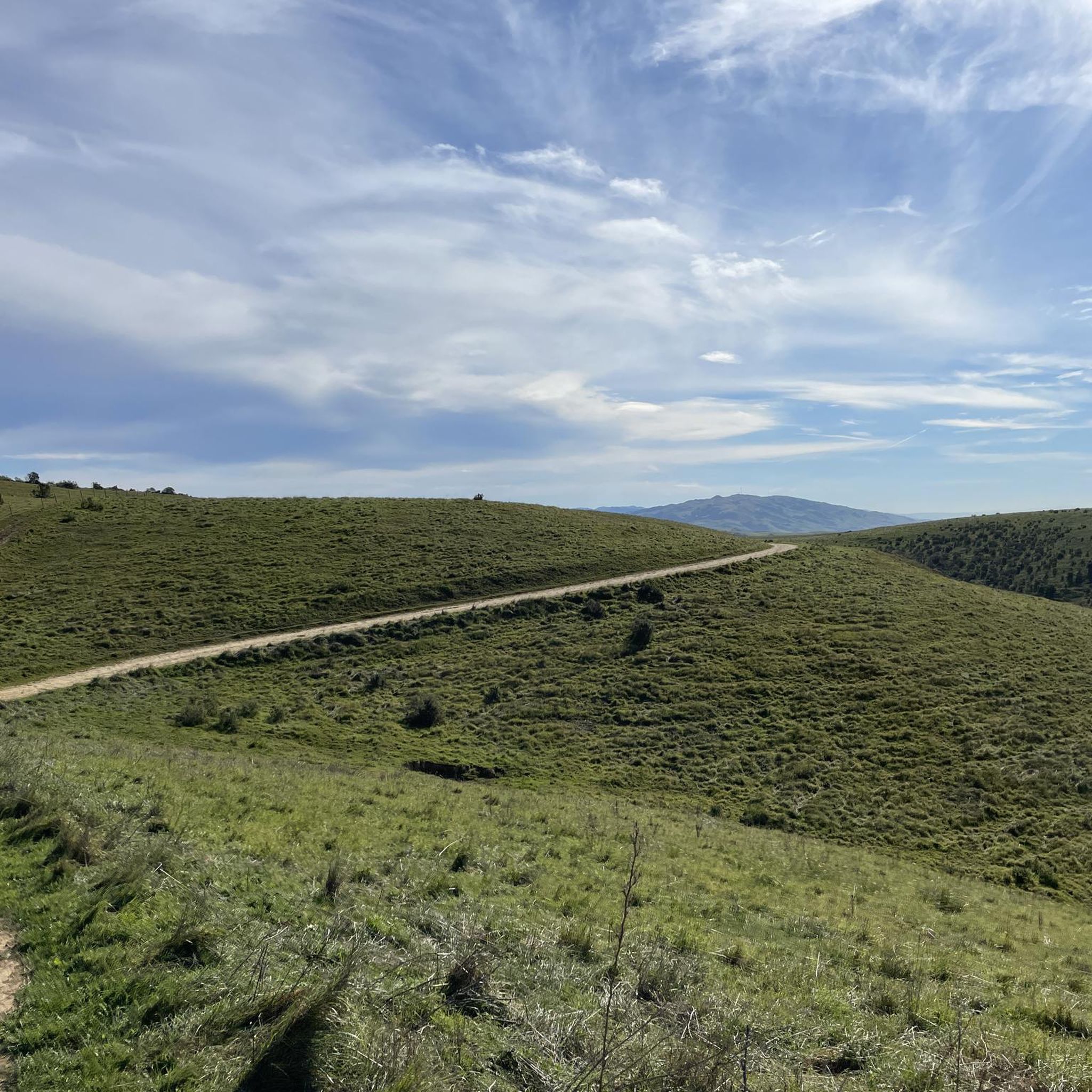
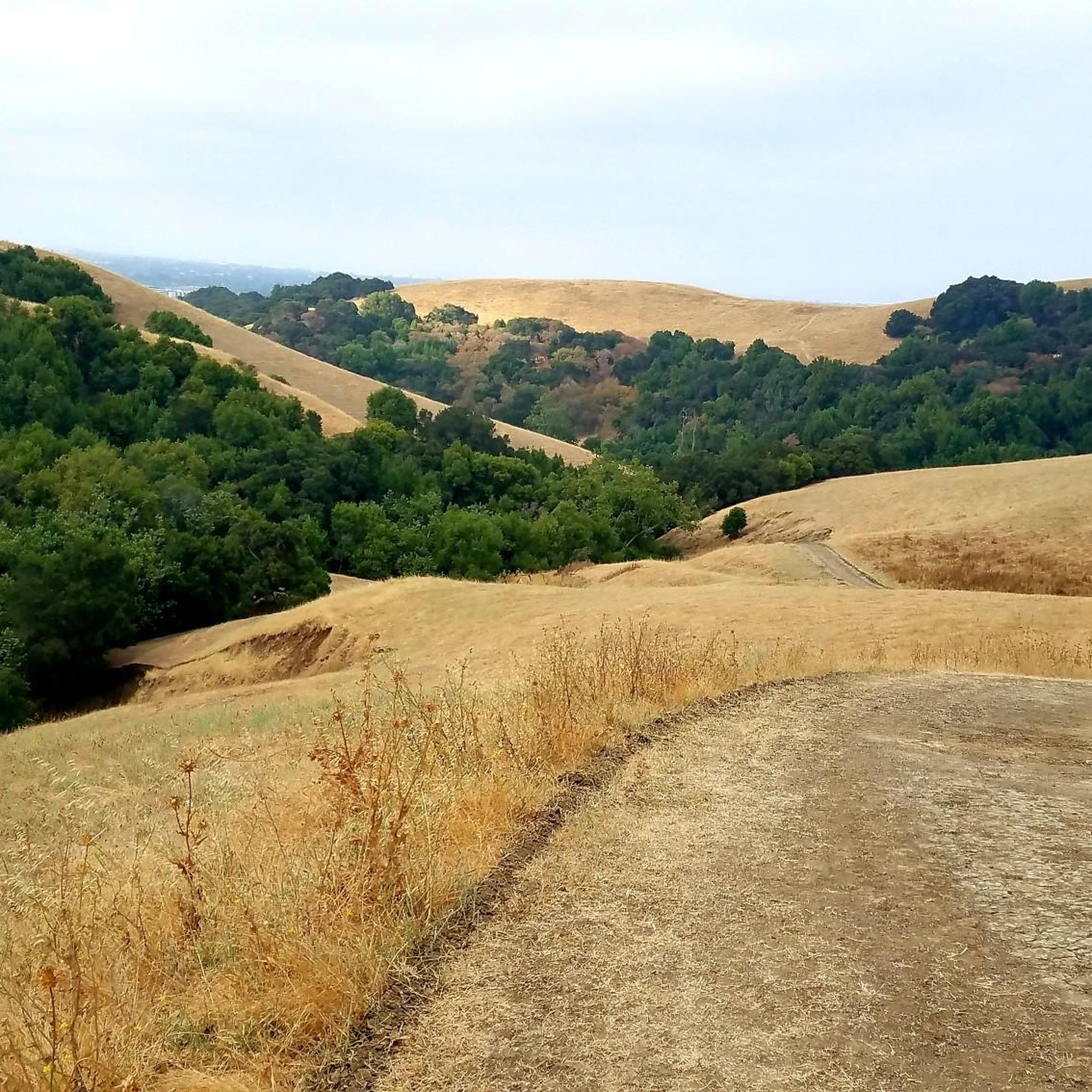
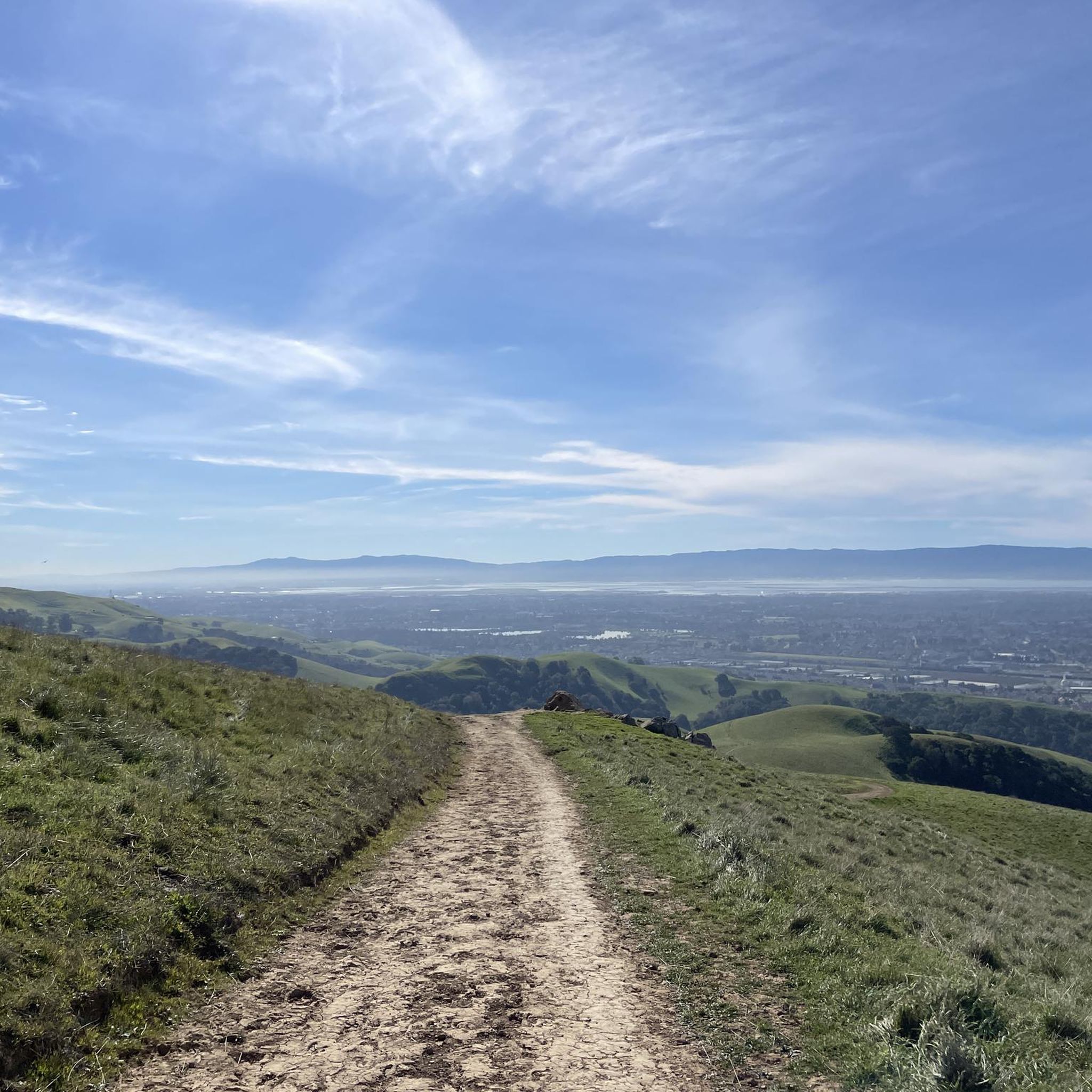
Stay on the fire roads until you get your bearings...once you become familiar with the park you can explore the single/double track at your leisure...Great views of Pleasanton and Livermore in the distance!
0
0
Frequently Asked Questions
How many road cycling routes are available in Garin Regional Park Restricted Area?
There are nearly 120 road cycling routes in the Garin Regional Park Restricted Area, offering a wide variety of options for different skill levels and preferences.
What is the best time of year for road biking in Garin Regional Park?
The Garin Regional Park Restricted Area is generally pleasant for road biking year-round, with mild winters and warm, dry summers. Spring and fall offer particularly comfortable temperatures and vibrant scenery. Always check local weather forecasts before heading out.
Are there challenging road cycling routes in Garin Regional Park?
Yes, while many routes feature moderate elevations, there are options for more challenging rides. For instance, the Niles Canyon Railway – Dublin Canyon Route loop from South Hayward is a moderate route spanning over 74 km with significant elevation gain, providing a good workout for experienced cyclists.
Where can I find beginner-friendly road cycling trails in Garin Regional Park?
Beginners can enjoy several easy routes, particularly those along the Alameda Creek Trail which are known for their flat, accessible paths. While specific routes are detailed in the guide, many of the 41 easy routes available offer a gentle introduction to road cycling in the area.
What are the typical lengths of road bike trails in Garin Regional Park Restricted Area?
Route lengths vary significantly, from shorter rides under an hour to longer excursions. For example, the Alameda Creek Trail – Alameda Creek Trail loop from South Hayward is a moderate 59.6 km route that typically takes around 2 hours and 29 minutes to complete.
Are there loop road bike trails available in Garin Regional Park Restricted Area?
Yes, many of the road cycling routes in the area are designed as loops, allowing you to start and end at the same point. This includes popular options like the Alameda Creek Trail – Alameda Creek Trail loop from South Hayward, which offers a comprehensive tour of the area.
What do other road cyclists enjoy most about road cycling in Garin Regional Park Restricted Area?
The area is highly rated by the komoot community, with an average score of 4.7 stars from over 70 reviews. Reviewers often praise the varied terrain, from flat creek trails to rolling hills, and the opportunities to experience both open parkland and more developed sections.
Are there any viewpoints along the road bike routes in Garin Regional Park?
While specific named viewpoints are not highlighted, many routes, especially those that traverse higher ground or offer glimpses of the bay, provide scenic vistas. The varied terrain ensures diverse visual experiences throughout your ride.
Is parking available for road cyclists at Garin Regional Park?
Garin Regional Park offers designated parking areas for visitors. It's advisable to check the East Bay Regional Park District's official website for specific parking locations and any potential fees or restrictions before your visit.
Can I find cafes or refreshment stops near the road bike trails?
While Garin Regional Park itself is primarily natural open space, the routes often pass through or near urban areas like South Hayward. You'll find various cafes, restaurants, and convenience stores in these nearby towns to refuel during or after your ride.
What are the general weather conditions for winter road biking in Garin Regional Park?
Winters in Garin Regional Park are typically mild with occasional rain. While temperatures rarely drop below freezing, it's important to be prepared for cooler, potentially wet conditions. The trails remain accessible, but checking the forecast for rain and wind is always recommended.
How accessible are the road bike trails in Garin Regional Park Restricted Area?
The Garin Regional Park Restricted Area offers a mix of paved paths and roads, making many routes highly accessible. The Alameda Creek Trail, for example, is known for its flat and well-maintained surfaces, suitable for a wide range of cyclists.
Most popular routes in Garin Regional Park Restricted Area

Get inspired with the komoot mobile app


Explore more
Browse the best Road cycling routes in other regions.
