Coyote Lake - Harvey Bear Ranch County Park
Coyote Lake - Harvey Bear Ranch County Park
The best road cycling routes in Coyote Lake - Harvey Bear Ranch County Park
4.7
(20)
1,251
riders
56
rides
Road cycling in Coyote Lake - Harvey Bear Ranch County Park offers varied terrain across 6,695 acres in the hills east of Gilroy, California. The park features paved sections and routes that traverse oak forests, canyons, and grassy ridgelines. Cyclists can find routes with significant elevation gain, providing panoramic views of the southern Santa Clara Valley and the distant Coast Range. The area's road cycling routes include both flat, family-friendly paths and more challenging climbs.
Best road cycling routes in…
Last updated: October 11, 2026
22
riders
46.7km
02:09
120m
120m
Moderate road ride. Good fitness required. Mostly well-paved surfaces and easy to ride.
15
riders
69.6km
03:42
1,200m
1,200m
Hard road ride. Very good fitness required. Mostly well-paved surfaces and easy to ride.

13
riders
30.0km
01:29
430m
430m
Moderate road ride. Good fitness required. Mostly well-paved surfaces and easy to ride.
68
riders
42.1km
02:31
1,020m
1,020m
Challenge yourself road cycling 26.2 miles up East Dunne Avenue to Henry Coe State Park, gaining 3343 feet for expansive views.
4.0
(2)
120
riders
34.7km
01:34
360m
360m
Moderate road ride. Good fitness required. Mostly well-paved surfaces and easy to ride.
Get access to more routes and recommendations from other explorers.
Already have an account?
Our route recommendations are based on thousands of hikes, rides, and runs completed by other people on komoot.
Start today with a free account
Your next adventure awaits.
Popular around Coyote Lake - Harvey Bear Ranch County Park

Bay Area Ridge Trail — Circumnavigating the San Francisco Bay

Bay Area Ridge Trail — Hiking the backbone of The Bay
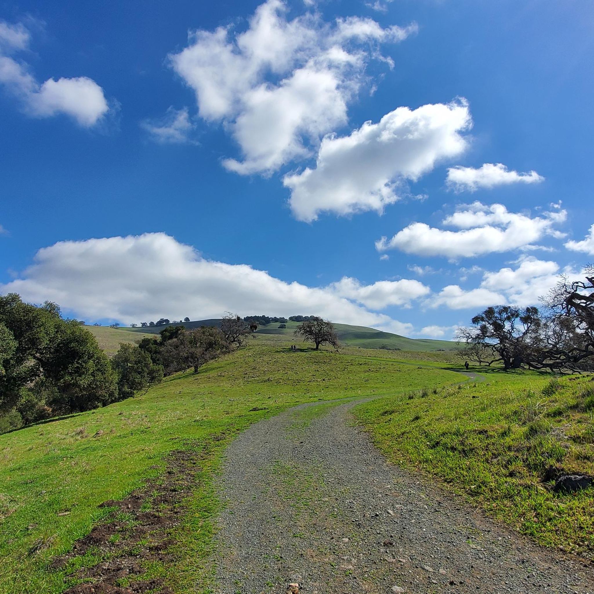
Hiking in Coyote Lake - Harvey Bear Ranch County Park
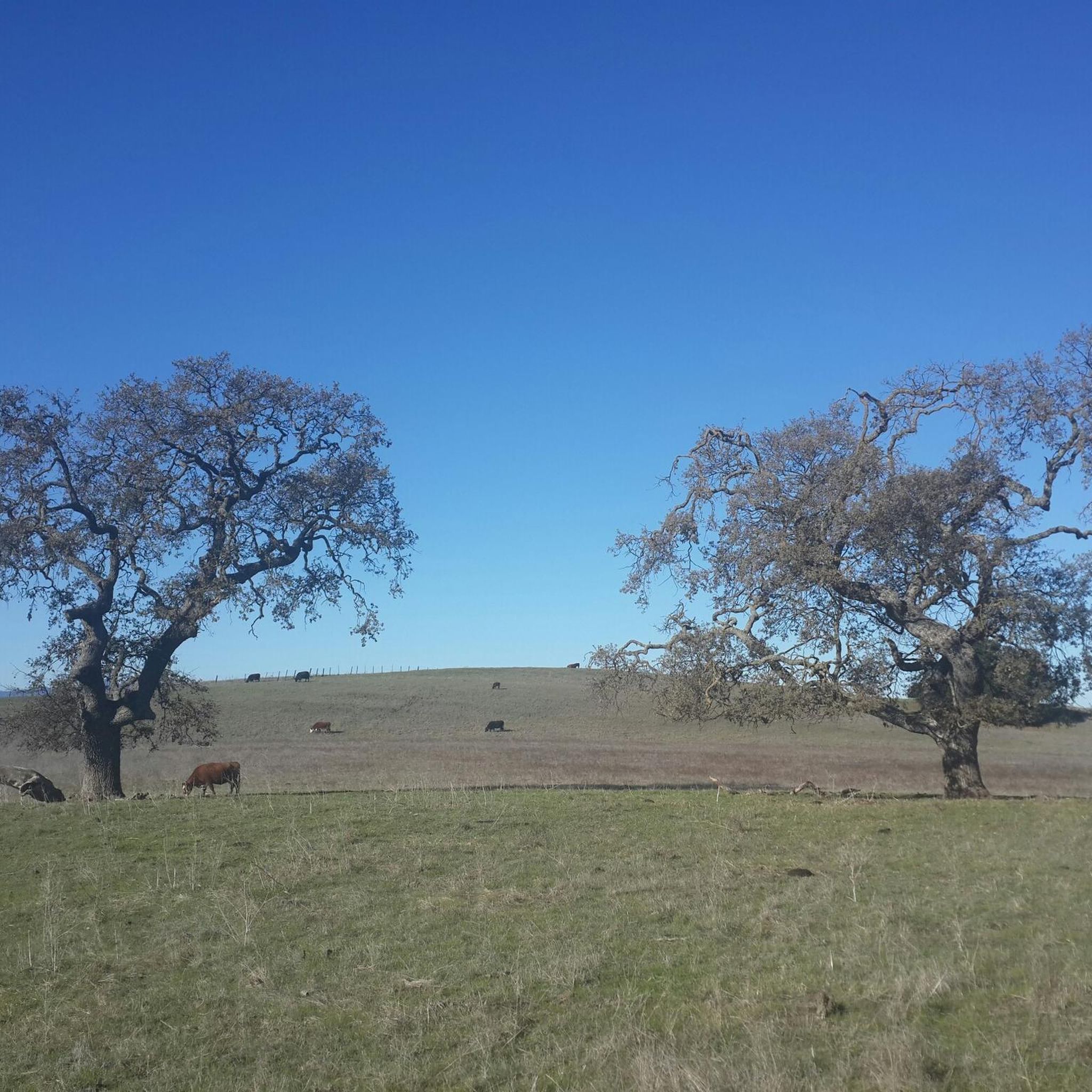
Running Trails in Coyote Lake - Harvey Bear Ranch County Park
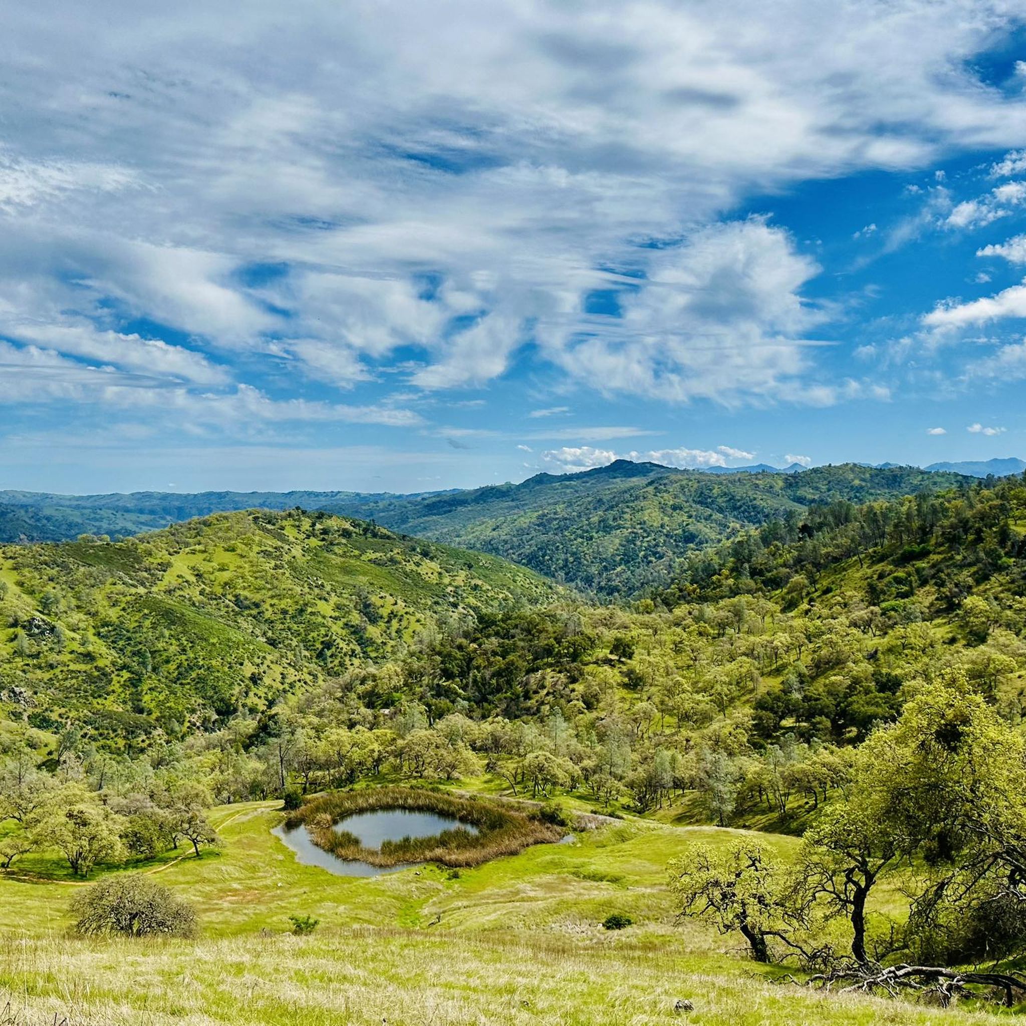
Cycling in Coyote Lake - Harvey Bear Ranch County Park
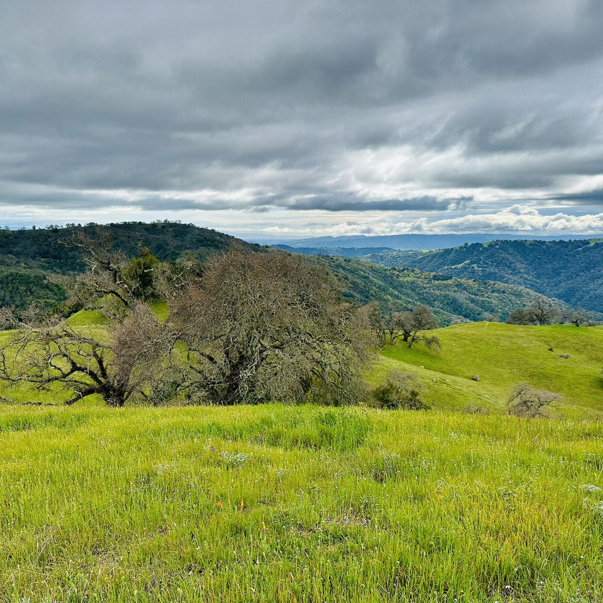
MTB Trails in Coyote Lake - Harvey Bear Ranch County Park
Other adventures in Coyote Lake - Harvey Bear Ranch County Park

Tips from the Community

Here, you can buy fresh fruit, including prunes, pears, apricots, and cherries, depending on the season.
0
0

Chesbro Reservoir County Park is a 232-acre park that surrounds Chesbro Reservoir and is known for catch-and-release fishing. There is no swimming or boating allowed in the lake.
0
0
Chesbro Reservoir County Park is a 232-acre park that surrounds Chesbro Reservoir and is known for catch-and-release fishing. There is no swimming or boating allowed in the lake.
0
0

This smooth and winding road is a joy to ride with plenty of incredible views of Anderson Lake to take in. With a steady gradient you can get some pace up here too.
0
0

The Coyote Creek Trail, also called the Bay Area Ridge Trail, is a stunningly paved multi-use path that slowly transitions to gravel. The trail winds in between a number of ponds and has a little more shade at the turnaround loop.
0
0
The 21-Mile House, at 21-Mile Park, was a tavern and stagecoach rest stop located 21 miles away from San Jose. The house was constructed in 1852 (although no longer here today) and was crucial for providing refreshments to horses and their riders. Today there is a bronze plaque to commemorate the site.
0
0
This is a beautiful spot just north of Morgan Hill. In the east you have farms and flat country roads, and in the west there is more mountainous open space preserves.
0
0
There is a cool bridge here located in a little canyon. This point is just about where Anderson Lake flows into Coyote Creek.
0
0
Frequently Asked Questions
What types of road cycling routes can I find in Coyote Lake - Harvey Bear Ranch County Park?
The park offers a diverse range of road cycling routes, from flat, family-friendly paved paths to more challenging climbs with significant elevation gain. You can find routes traversing oak forests, canyons, and grassy ridgelines, providing varied terrain and scenic views.
Are there any easy or family-friendly road cycling options available?
Yes, for an easier and family-friendly ride, the Martin Murphy Trail is a flat, two-mile paved loop accessible off Foothill Avenue and East San Martin Avenue. It's ideal for casual rides and beginners. Overall, the park features over 20 easy road cycling routes.
What are some challenging road cycling routes for experienced riders?
Experienced riders seeking a challenge can explore routes with substantial elevation gain. A demanding option is the Chesbro Reservoir County Park – Coe Ranch Headquarters loop from San Martin, which covers 43.2 miles (69.6 km) and features over 1200 meters of ascent. Another difficult route is Henry Coe State Park on East Dunne Avenue from Morgan Hill, offering over 1000 meters of climbing.
What kind of views and natural features can I expect to see while road cycling?
Road cycling routes often wind through cool oak forests and oak-studded canyons. As you ascend to breezy grassy ridgelines, you'll be rewarded with spectacular panoramic views of the southern Santa Clara Valley, Coyote Lake, the surrounding foothills, and the distant Coast Range. The park is also home to diverse wildlife and offers beautiful wildflower displays in spring.
What do other road cyclists enjoy most about the routes here?
The road cycling routes in Coyote Lake - Harvey Bear Ranch County Park are highly rated by the komoot community, with an average score of 4.7 stars. Reviewers often praise the varied terrain, the stunning panoramic views from ridgelines, and the well-maintained paved sections that cater to different skill levels.
Are there any notable landmarks or attractions along the road cycling routes?
While cycling, you can enjoy views of Coyote Lake itself. For specific viewpoints, consider visiting the Coyote Lake Overlook. The park also features various trails like Townsprings Trail and Savannah Trail, which offer glimpses into the park's natural beauty.
When is the best time of year to go road cycling in the park?
It's advisable to plan your road cycling visits during cooler weather or earlier in the day, especially as some trail sections can be exposed to the sun. Spring and fall generally offer more comfortable temperatures, and spring also brings spectacular wildflower displays.
Is there parking available for road cyclists?
Yes, Coyote Lake - Harvey Bear Ranch County Park provides various amenities, including parking facilities. It's recommended to check the park's official resources or maps for specific parking areas most convenient for road cycling access.
Are there any loop routes for road cycling?
Many of the road cycling routes in the park are designed as loops, allowing you to start and end at the same point. Examples include the Coyote Valley Farm – Ogier Ponds Bike Path loop from San Martin and the Coyote Lake Entrance – Mendoza Ranch Entrance loop from Hunting Hollow Trailhead.
How many road cycling routes are available in total?
There are over 50 road cycling routes available in Coyote Lake - Harvey Bear Ranch County Park, offering a wide selection for different preferences and skill levels.
Can I find cafes or accommodation near the park for cyclists?
While the park itself focuses on outdoor activities, the nearby town of Gilroy offers various options for cafes, restaurants, and accommodation. For more information on local amenities, you might find resources like Visit Gilroy helpful.
Most popular routes in Coyote Lake - Harvey Bear Ranch County Park
Most popular attractions in Coyote Lake - Harvey Bear Ranch County Park

Get inspired with the komoot mobile app


Explore more
Browse the best Road cycling routes in other regions.
