Coyote Lake - Harvey Bear Ranch County Park
Coyote Lake - Harvey Bear Ranch County Park
The best MTB trails in Coyote Lake - Harvey Bear Ranch County Park
4.1
(8)
158
riders
22
rides
Mountain biking in Coyote Lake - Harvey Bear Ranch County Park offers a network of trails through varied terrain in Santa Clara County. The region features rolling hills, oak woodlands, and open grasslands, providing diverse environments for mountain bikers. Trails often provide views of Coyote Lake and the surrounding natural landscape. The park's topography includes moderate ascents and descents, suitable for a range of skill levels.
Best mountain bike trails in Coyote Lake - Harvey Bear Ranch County Park
- The…
Last updated: October 10, 2026
4.5
(2)
18
riders
22.1km
02:09
410m
410m
This moderate 13.7-mile mountain biking loop at Coyote Lake Harvey Bear Ranch offers diverse terrain, scenic views, and 1350 feet of elevati
5.0
(1)
8
riders
16.7km
01:33
240m
240m
Easy mountain bike ride. Great for any fitness level. Suitable for all skill levels.

16
riders
15.3km
01:35
480m
480m
Moderate mountain bike ride. Good fitness required. Suitable for all skill levels.
16
riders
33.1km
03:56
1,210m
1,210m
Tackle the Jim Donnelly and Grizzly Gulch Loop, a difficult 20.5-mile mountain biking route with 3984 feet of elevation gain.
14
riders
40.2km
04:29
1,270m
1,280m
Hard mountain bike ride. Very good fitness required. Suitable for all skill levels.
Get access to more routes and recommendations from other explorers.
Already have an account?
Our route recommendations are based on thousands of hikes, rides, and runs completed by other people on komoot.
Start today with a free account
Your next adventure awaits.
Popular around Coyote Lake - Harvey Bear Ranch County Park

Bay Area Ridge Trail — Circumnavigating the San Francisco Bay

Bay Area Ridge Trail — Hiking the backbone of The Bay
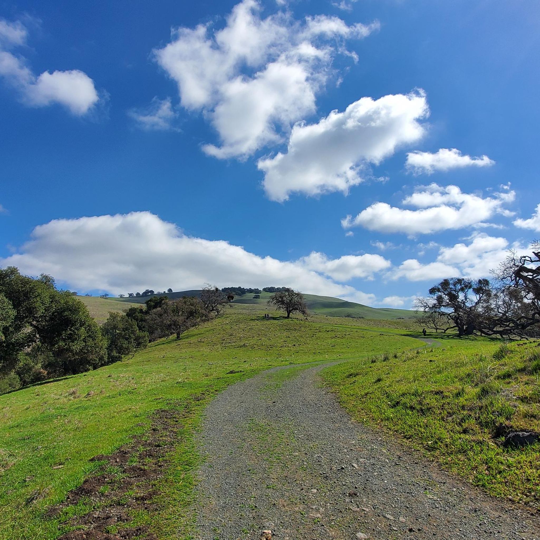
Hiking in Coyote Lake - Harvey Bear Ranch County Park
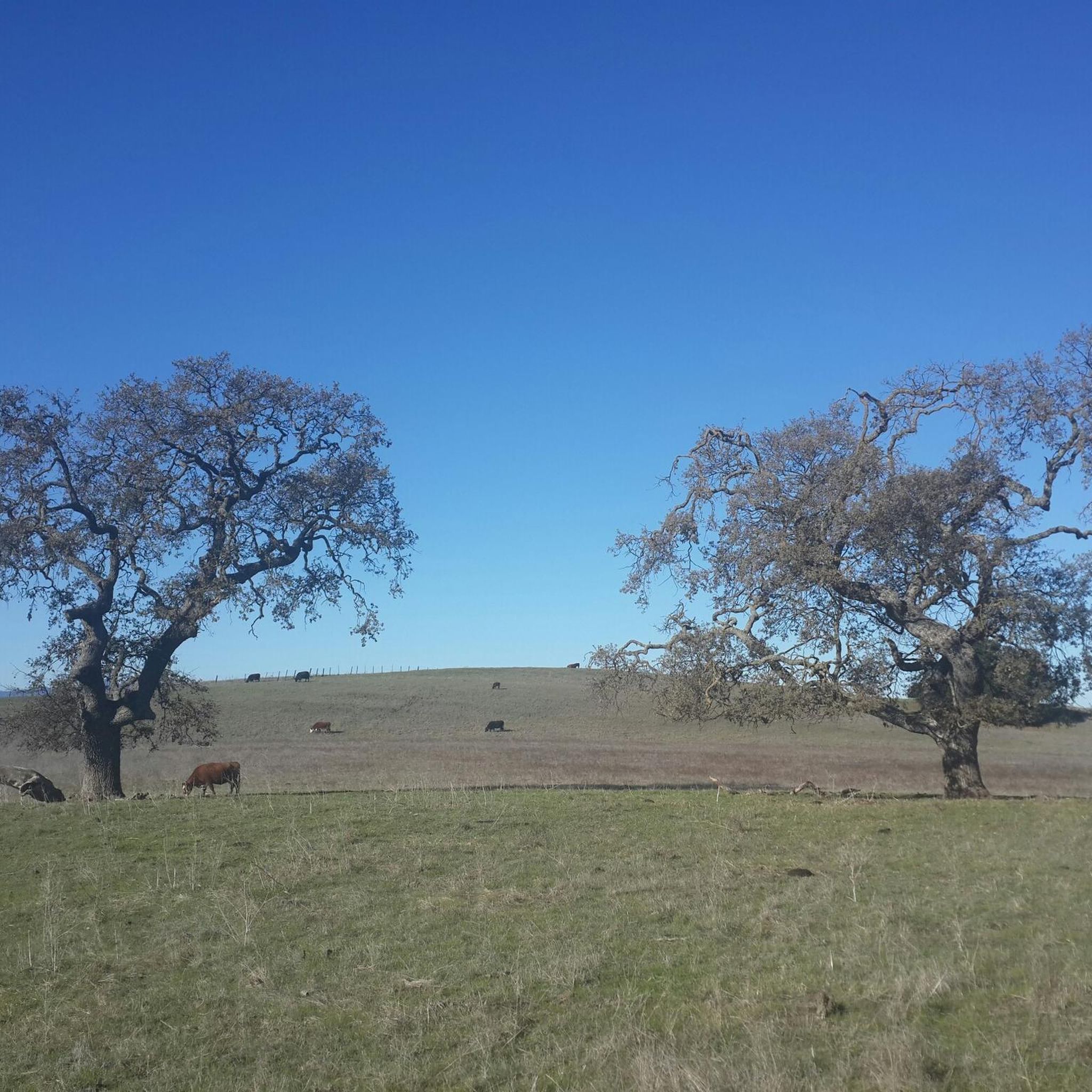
Running Trails in Coyote Lake - Harvey Bear Ranch County Park
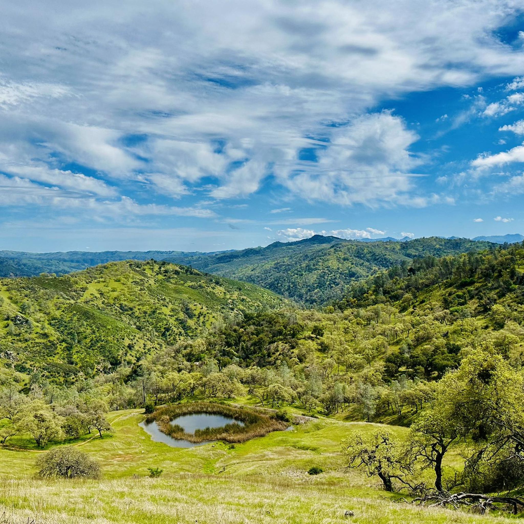
Cycling in Coyote Lake - Harvey Bear Ranch County Park
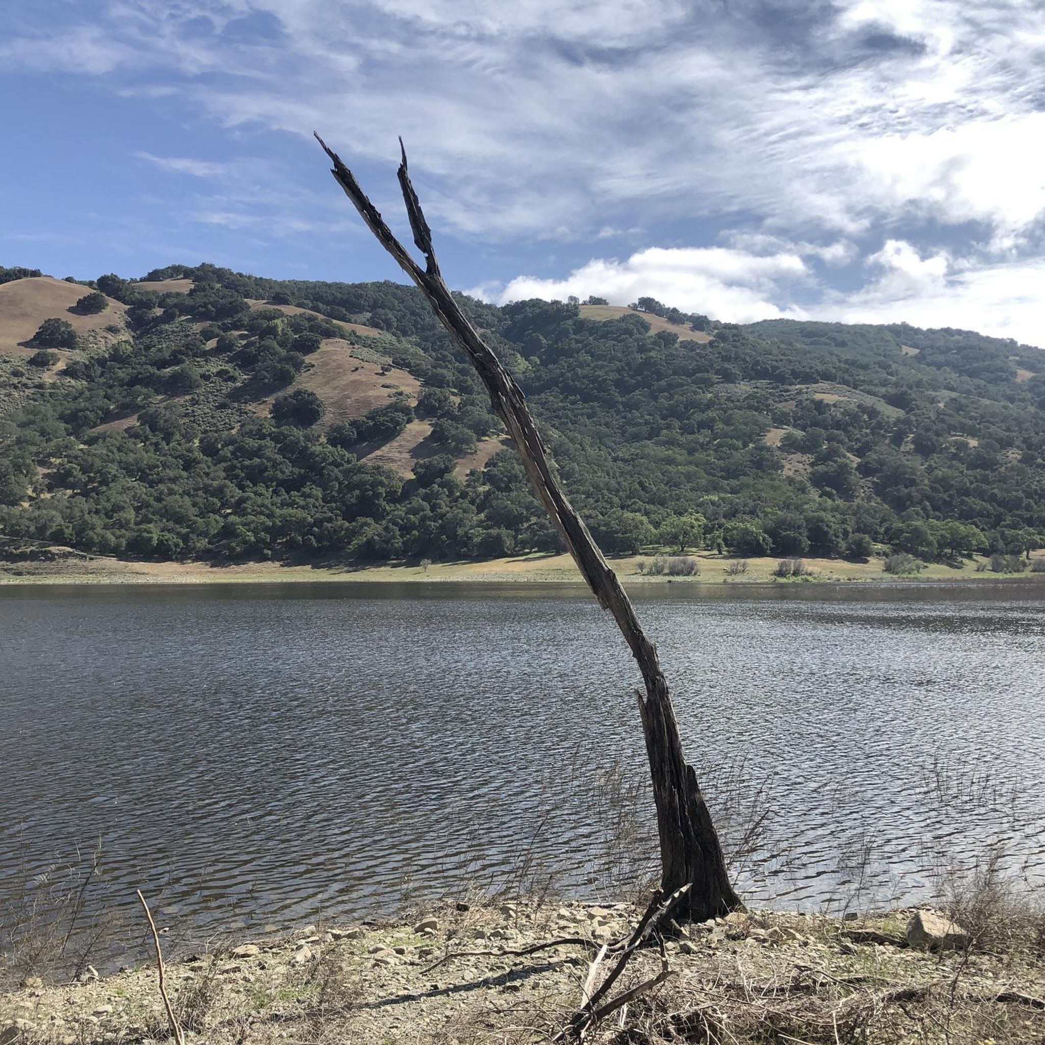
Road Cycling Routes in Coyote Lake - Harvey Bear Ranch County Park
Other adventures in Coyote Lake - Harvey Bear Ranch County Park

Tips from the Community

Coyote Reservoir is a man-made lake in Santa Clara County, north of Gilroy. There are many trails in the reservoir for running, walking, and biking. The lake is also navigable from April to October.
0
0

Calaveras Trail is a nice flat trail that runs adjacent to the Coyote Reservoir. The trail winds through grasslands with occasional trees to provide shade. The trails are well worn from grazing cows meaning they are hard-packed and well defined, but still bumpy.
0
0
Gilroy Hot Springs is an old 5-star resort no longer in operation. Originally founded by a Mexican Shepard in the 1860's, the resort passed hands a few times and was finally purchased by California State Parks in 2003.
0
0

The road to get here is a good ride and normally quiet. You aren't supposed to ride any further than the junction with the Coit Road. The old hot springs resort was popular with Japanese-Americans in the late 1800s and early 1900s. You can see the remains of the old bath houses and hotel complex.
0
0
Wilson Peak (a bit up the hill from this point on the trail) is the highest summit in the Henry W. Coe State Park. It stands at 2,648 feet and offers great views of the surrounding wild area.
0
0
The road to get here is a good ride and normally quiet. You aren't supposed to ride any further than the junction with the Coit Road. The old hot springs resort was popular with Japanese-Americans in the late 1800s and early 1900s. You can see the remains of the old bath houses and hotel complex.
0
0

Immediately below Pacheco Falls Trail is Wood Duck Pond, an attractive though small wetland refuge.
0
0
Wilson Peak is the highest named summit inside Henry W. Coe State Park, rising over 2,600 feet above sea level.
0
0
Frequently Asked Questions
How many mountain bike trails are available in Coyote Lake - Harvey Bear Ranch County Park?
Coyote Lake - Harvey Bear Ranch County Park offers a diverse network of over 30 mountain bike trails. These routes cater to various skill levels, with 2 easy, 16 moderate, and 14 difficult options.
Are there mountain bike trails suitable for beginners in Coyote Lake - Harvey Bear Ranch County Park?
Yes, the park includes 2 easy mountain bike trails. These routes are generally shorter and have less challenging terrain, making them suitable for those new to mountain biking or looking for a more relaxed ride.
What kind of terrain can I expect on mountain bike trails in Coyote Lake - Harvey Bear Ranch County Park?
The trails in Coyote Lake - Harvey Bear Ranch County Park feature varied terrain, including rolling hills, oak woodlands, and open grasslands. You'll encounter moderate ascents and descents, with many routes offering scenic views of Coyote Lake and the surrounding natural landscape.
Are there any long-distance mountain bike trails for advanced riders?
For experienced riders seeking a challenge, the park offers trails like the Jim Donnelly and Grizzly Gulch Loop. This difficult route spans over 20.5 miles (33 km) with significant elevation changes, providing a demanding ride through varied terrain.
Can I find loop mountain bike trails in Coyote Lake - Harvey Bear Ranch County Park?
Yes, many trails in the park are designed as loops. For example, the Valley Oak Trail – Townsprings Trail loop from Mendoza Ranch Entrance is a popular moderate 11.1-mile (17.9 km) option that winds through oak woodlands and open grasslands.
What are some scenic viewpoints along the mountain bike trails?
Many trails offer picturesque views. The Coyote Lake Overlook is a notable viewpoint providing expansive vistas of the lake and surrounding hills. You can also find several spots with views of the Coyote Reservoir.
What is the best time of year for mountain biking in Coyote Lake - Harvey Bear Ranch County Park?
The park is generally accessible year-round. Spring and fall offer pleasant temperatures and vibrant scenery. While winter riding is possible, be aware that trail conditions can vary, with some areas potentially becoming muddy after heavy rains. Summers can be hot, so early morning rides are recommended.
Are there any specific trails known for wildlife spotting?
The park's diverse habitats, including oak woodlands and grasslands, provide opportunities for wildlife viewing. Keep an eye out for deer, various bird species, and other local fauna, especially during quieter times of day like early morning or late afternoon. Trails like the Connector Trail Junction – Jim Donnelly Trail loop from Coyote Station 21 pass through areas where wildlife is often active.
Where can I find parking for mountain biking in the park?
Parking is available at various access points to the park. Common entry points like the Mendoza Ranch Entrance and areas near San Martin provide designated parking facilities for visitors accessing the trails. Always check park signage for specific parking regulations.
What do other mountain bikers enjoy most about the trails in Coyote Lake - Harvey Bear Ranch County Park?
The komoot community rates the trails highly, with an average score of 3.6 stars. Riders frequently praise the varied terrain, the scenic views of Coyote Lake, and the well-maintained network that offers options for different ability levels.
Are there any other interesting places to explore near the mountain bike trails?
Beyond the main trails, the park features several highlights. You can explore other notable trails like Townsprings Trail, Gaviota Trail, and Willow Springs Trail, which offer different perspectives of the park's natural beauty.
Most popular routes in Coyote Lake - Harvey Bear Ranch County Park
Most popular attractions in Coyote Lake - Harvey Bear Ranch County Park

Get inspired with the komoot mobile app


Explore more
Browse the best MTB trails in other regions.
