The best running trails in Weir Canyon Regional Park
4.9
(5)
305
runners
36
runs
Jogging in Weir Canyon Regional Park offers a diverse range of running routes through varied terrain. The park features a network of trails that traverse canyon landscapes, open spaces, and areas alongside the Santa Ana River. Runners can expect paths with moderate elevation changes, providing both challenge and scenic views. The region is characterized by its natural environment, making it suitable for outdoor exercise.
Best jogging routes in Weir Canyon Regional Park
- The most popular jogging route is Weir Canyon…
Last updated: November 2, 2026
12
runners
5.79km
00:44
90m
100m
9
runners
5.20km
00:36
70m
70m

24
runners
Moderate run. Good fitness required. Mostly paved surfaces.
26
runners
Moderate run. Good fitness required. Mostly paved surfaces.
6
runners
9.55km
00:59
50m
50m
Moderate run. Good fitness required. Mostly paved surfaces.
Get access to more routes and recommendations from other explorers.
Already have an account?
Our route recommendations are based on thousands of hikes, rides, and runs completed by other people on komoot.
Start today with a free account
Your next adventure awaits.


Tips from the Community

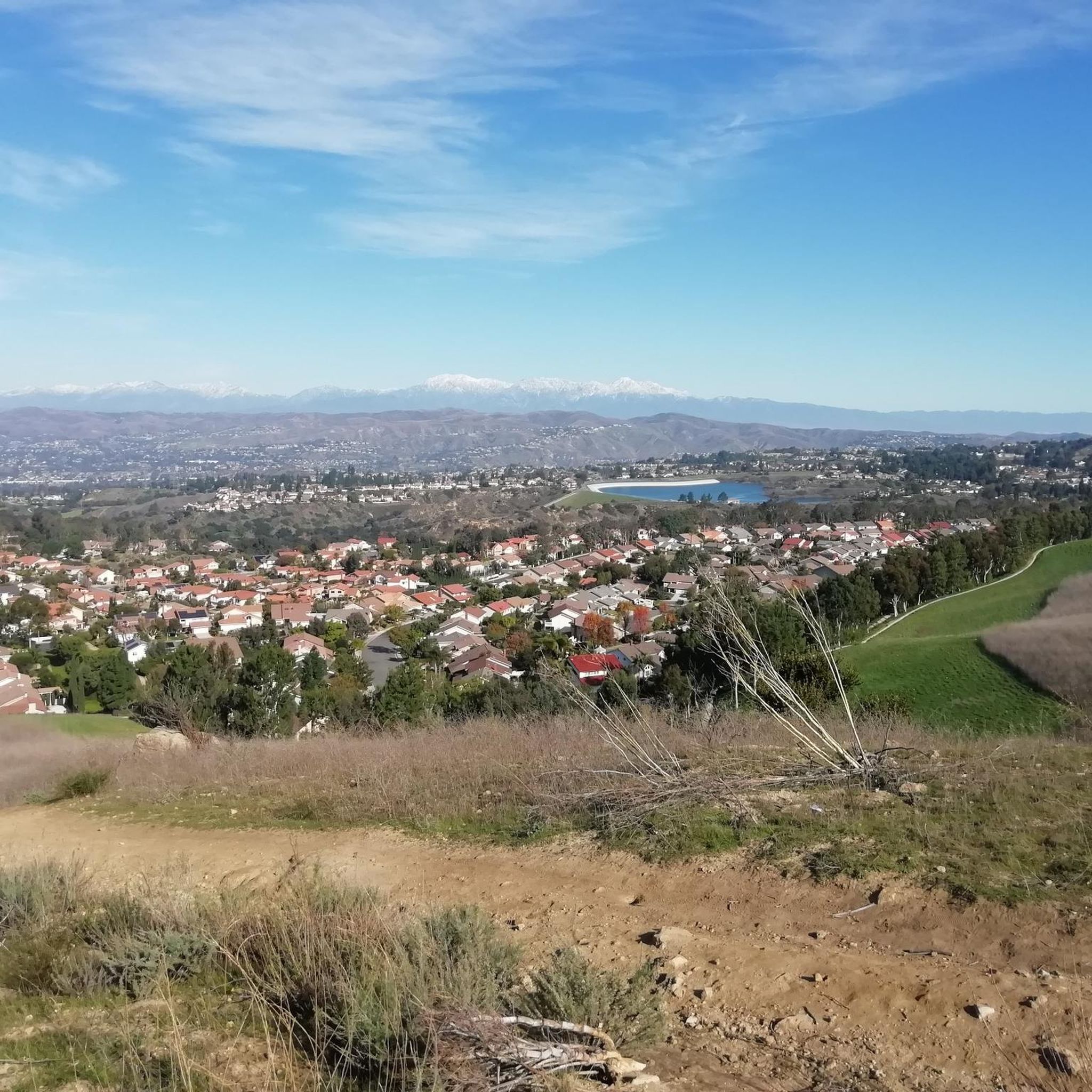
This view of Sierra Peak showcases one of the highest and most easily identifiable peaks in northern Orange County. It stands at 3,045 feet above sea level.
1
0

Nice wooden bridge along the Santa Ana River Trail. It takes you over the river and gives you a good view of the water.
1
0

This reservoir was built in 1968 and serves as a local water source. The paved loop trail around it is a beautiful spot and has some great birdwatching opportunities. There is no parking lot for the reservoir, so parking along nearby residential streets or at Oak Canyon is your best option. There is an entrance ramp and stairway to the trail along Laketop Drive. Dogs are allowed on the trail, but must be leashed.
0
0
The Oak Canyon Nature Center is a small but very pleasant natural space where you can explore oak woodland, streams, and coastal scrub. It loops around about 4 miles (6.44 kilometers) of very nicely designed trails that easily connect to one another.
0
0

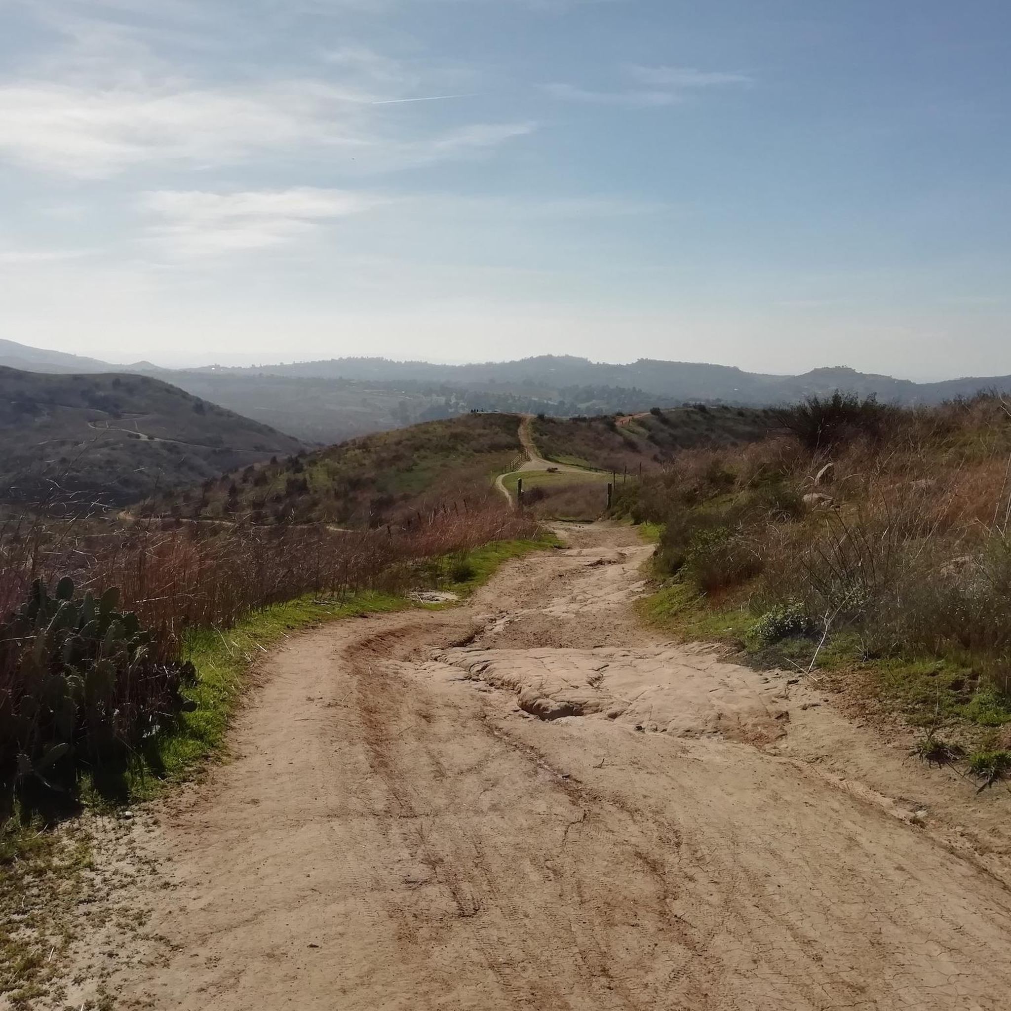
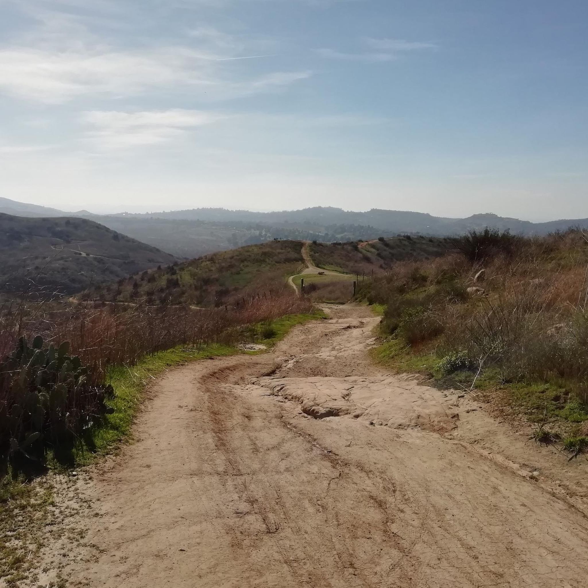
This part of the trail switchbacks through the canyon foothills and grants fantastic views into Weir Canyon proper. The trail is a wide packed dirt road with other doubletrack connector trails.
0
0
This is an excellent trail that runs through Weir Canyon and offers views of the Weir Canyon Wilderness, the Santa Ana Mountains and the San Gabriel Mountains. There are several connector trails in the middle of the loop, so you can choose your own adventure here depending on how long of an adventure you want. Either way, it is a nice trail with some incline, a small summit and great viewpoints throughout.
0
0
This segment is exactly one mile long, which makes it a great spot for interval workouts. If the park is crowded, you can follow the paved Santa Ana River Trail, but since it is more straight it comes out to be about 100 feet less than a true mile between the trail turnoffs.
0
0
You get a great view up and down the Santa Ana River as you cross the truss bridge between trail segments.
0
0
Frequently Asked Questions
How many running routes are available in Weir Canyon Regional Park?
Weir Canyon Regional Park offers a diverse network of over 35 running routes, catering to various preferences and fitness levels.
Are there any easy running trails suitable for beginners in Weir Canyon Regional Park?
Yes, the park features 4 easy running routes. These trails are generally flatter and shorter, ideal for those new to running or looking for a relaxed jog.
What are the typical lengths of jogging routes in Weir Canyon Regional Park?
Running routes in the park vary in length, with many moderate options. For example, the Weir Canyon Trail Loop is 3.6 miles (5.8 km), while the Yorba Regional Park — One-Mile Segment – View of Sierra Peak loop from Bryant Ranch Center extends to 8.6 miles (13.9 km).
Are there any circular running routes in Weir Canyon Regional Park?
Absolutely. Many of the park's trails are loops, providing a convenient running experience. Popular options include the Weir Canyon Trail Loop and the Periphery Road Loop.
What kind of terrain can I expect on the running trails in Weir Canyon Regional Park?
The park's terrain is varied, featuring canyon landscapes, open spaces, and paths alongside the Santa Ana River. You'll encounter moderate elevation changes, offering both a challenge and scenic views.
Is Weir Canyon Regional Park suitable for family-friendly jogging?
Yes, the park has routes that are suitable for families. While specific 'family-friendly' designations aren't always explicit, the easier and moderate trails with less elevation are generally good choices for a family outing.
Can I bring my dog on the running routes in Weir Canyon Regional Park?
Weir Canyon Regional Park is generally dog-friendly, but it's always best to check specific trail regulations regarding leashes and waste disposal before you go. Most regional parks in the area allow leashed dogs on trails.
What do other runners enjoy most about jogging in Weir Canyon Regional Park?
The area is highly rated by the komoot community, with an average score of 5.0 stars. Reviewers often praise the diverse terrain, scenic canyon views, and the peaceful natural environment for running.
Are there any running routes that follow the Santa Ana River?
Yes, you can find routes that lead through riverine landscapes. The Santa Ana River – Santa Ana River Trail Bridge loop from Weir Canyon-La Palma is a great example, offering a run alongside the river.
What are the best times of year to go running in Weir Canyon Regional Park?
Spring and fall generally offer the most pleasant running conditions with mild temperatures. Summers can be hot, so early mornings or late afternoons are recommended, while winters are typically mild but can have occasional rain.
Are there any challenging running routes for experienced runners?
Yes, for more experienced runners seeking a challenge, Weir Canyon Regional Park offers 12 difficult routes. These trails typically feature greater elevation changes and longer distances.
Where can I find parking for jogging in Weir Canyon Regional Park?
Parking is typically available at designated trailheads and park entrances. It's advisable to check specific access points for the route you plan to run to confirm parking availability.
Are there any scenic viewpoints along the running trails?
Many routes in Weir Canyon Regional Park offer scenic views of the canyon landscapes and surrounding natural areas. Trails with higher elevation gains, such as those in the more difficult category, often provide the best panoramic vistas.
Most popular routes in Weir Canyon Regional Park

Get inspired with the komoot mobile app


Explore more
Browse the best Running Trails & Routes in other regions.
