The best cycling routes in Weir Canyon Regional Park
4.6
(17)
266
riders
21
rides
Touring cycling in Weir Canyon Regional Park offers routes through diverse terrain characterized by rolling, chaparral-covered hills and tranquil canyon bottoms. The park features distinctive sandstone formations, lush oak woodlands, and undulating terrain with significant elevation changes on some trails. Cyclists can expect routes that traverse both paved and unpaved sections, providing varied conditions for different skill levels.
Best touring cycling routes in Weir Canyon Regional Park
- The most popular touring cycling route is Robbers Peak loop from Weir Canyon Regional Park, a 7.4 miles (12.0 km) trail that takes 1 hour 22 minutes to complete. This route offers views of the surrounding hills and canyons.
- Another top favourite among local touring cyclists is Robbers Peak – Roadrunner Loop Trailhead loop from Fred Barrera Park, a difficult 10.7 miles (17.2 km) path. This trail navigates chaparral-covered hills with notable elevation gains.
- Local touring cyclists also love the Robbers Peak loop from Fred Barrera Park, a 9.9 miles (16.0 km) trail leading through oak woodlands and offering panoramic vistas, often completed in about 1 hour 45 minutes.
- Touring cycling in Weir Canyon Regional Park is defined by rolling hills, oak woodlands, and sandstone formations, with routes offering options for easy, moderate, and difficult ability levels.
- The routes in Weir Canyon Regional Park are highly rated by the komoot community with an average score of 4.6 stars from more than 10 reviews. More than 300 touring cyclists have used komoot to explore Weir Canyon Regional Park's varied terrain.
Last updated: August 9, 2026
14
riders
Moderate bike ride. Good fitness required. Mostly paved surfaces. Suitable for all skill levels.
6
riders
Easy bike ride. Great for any fitness level. Mostly paved surfaces. Suitable for all skill levels.

Sign up for free
5.0
(2)
8
riders
51.9km
04:37
1,110m
1,110m
Hard bike ride. Very good fitness required. Mostly paved surfaces. Suitable for all skill levels.
3.0
(1)
7
riders
12.2km
00:45
60m
60m
Easy bike ride. Great for any fitness level. Mostly paved surfaces. Suitable for all skill levels.
5.0
(1)
7
riders
Easy bike ride. Great for any fitness level. Mostly paved surfaces. Suitable for all skill levels.
Get access to more routes and recommendations from other explorers.
Sign up for free
Already have an account?
Our route recommendations are based on thousands of hikes, rides, and runs completed by other people on komoot.
Start today with a free account
Your next adventure awaits.
Login or Signup


Tips from the Community

Bring plenty of water. There only are water fountains midway in Anaheim.
0
0

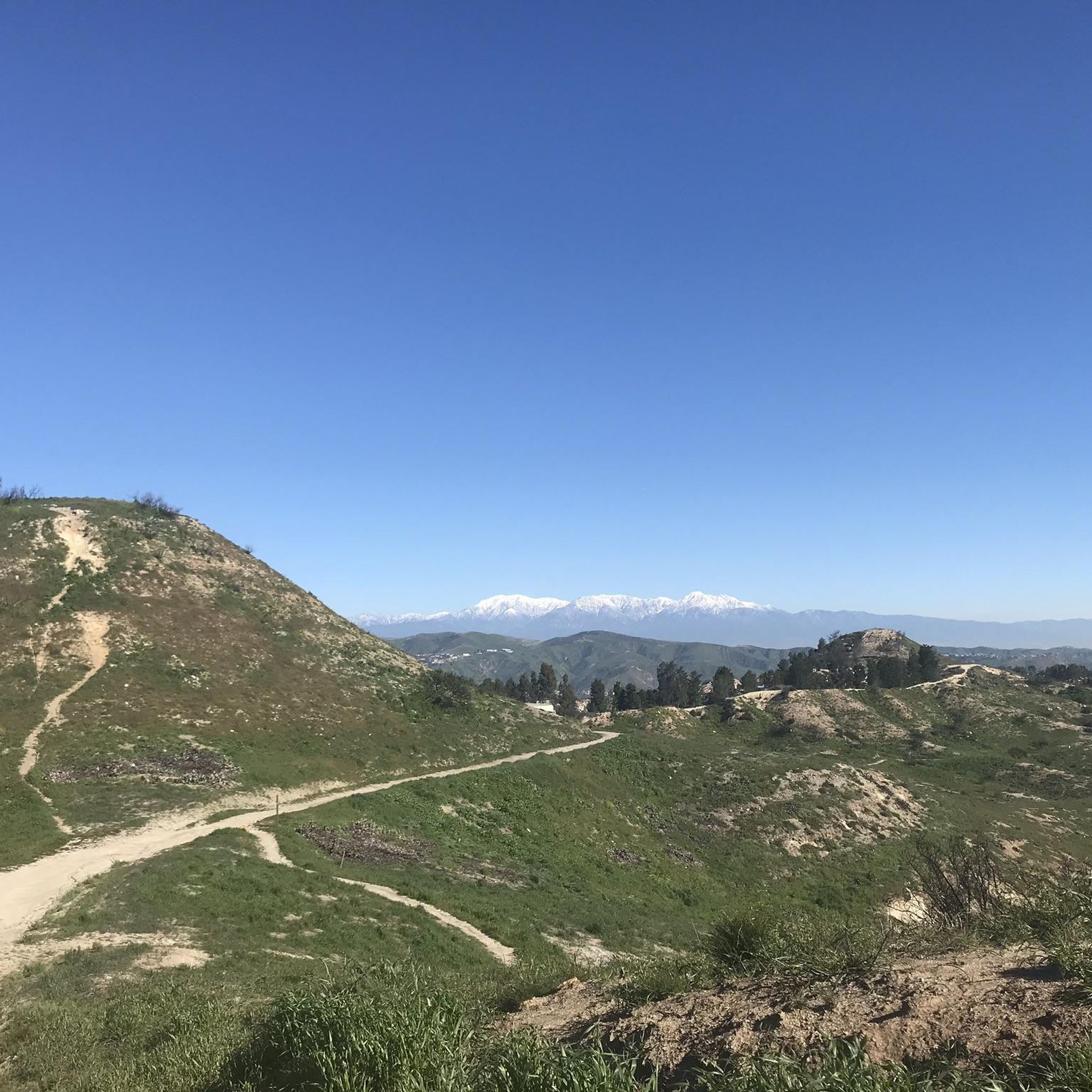
This view of Sierra Peak showcases one of the highest and most easily identifiable peaks in northern Orange County. It stands at 3,045 feet above sea level.
1
0
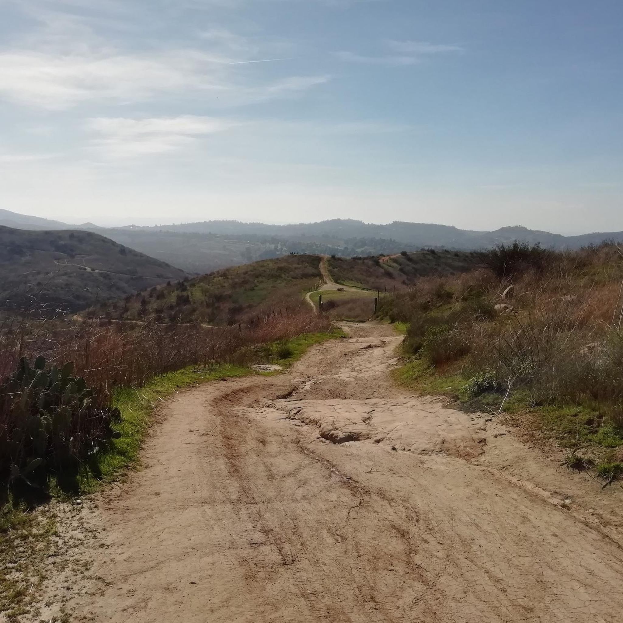
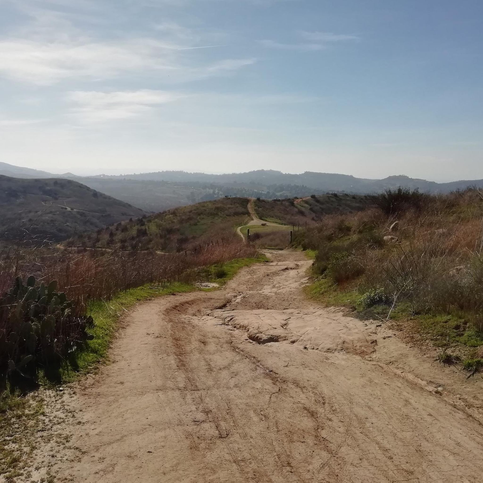
The Barham Ridge Trail is a wide, double-track path that is popular with hikers, trail runners, and mountain bikers. This is an area to slow down as it connects to multiple trails and can often get busy near Robbers Peak. It is very sun-exposed with little shade, so be sure to pack some sun protection.
0
0

Nice wooden bridge along the Santa Ana River Trail. It takes you over the river and gives you a good view of the water.
1
0

Set along the edge of the Santa Ana Canyon this park offers visitors a variety of amenities such as sports fields, picnic & BBQ areas, fishing, playgrounds, and more. The Santa Ana Trail runs along the edge of the park and allows you to access other nearby areas as well.
0
0

Situated up with the cell towers at 3,045 feet, Sierra Peak offers awesome views of Orange County and the surrounding mountains. Because it's such a long trek from car to summit, you'll likely have most of the route and the peak to yourself.
0
0

There is lots of parking here, and as you head away from the highway you have access to the paved two-lane Santa Ana River trail which stretches (nearly) all the way from San Bernardino to the Pacific Ocean. If you head west along the river trail you will come to Coal Canyon and can access the trails south of the highway.
1
0
The trail is a wide dirt road through what feels like remote terrain, despite being quite close to Orange County. There is some loose rock that could make the descent mildly technical, but otherwise this is a fairly steady route to Mini Moab and Sierra.
0
0
Frequently Asked Questions
What kind of terrain can I expect when touring cycling in Weir Canyon Regional Park?
Weir Canyon Regional Park offers diverse terrain for touring cyclists. You'll encounter rolling, chaparral-covered hills, tranquil canyon bottoms, and lush oak woodlands. Routes can vary from mostly paved surfaces to more challenging unpaved sections, including ranch roads. Expect undulating terrain with significant elevation changes on some trails.
Are there any easy touring cycling routes suitable for beginners in Weir Canyon Regional Park?
Yes, there are easy routes available. For instance, the Bike loop from Fantasy Burger is an easy 7.2-mile (11.7 km) path with minimal elevation gain, making it suitable for those looking for a more relaxed ride.
What are some notable natural features or landmarks I can see along the cycling routes?
Cyclists can enjoy a variety of natural features and landmarks. You'll find distinctive sandstone formations and cavernous sandstone outcrops, as well as some of Orange County's largest and healthiest oak woodlands. Many trails offer panoramic views over Weir Canyon, the Anaheim Hills, and distant mountain ranges. Robbers Peak is a significant promontory offering impressive views, and you might also catch glimpses of the Walnut Canyon Reservoir and several small streams.
Are there any challenging routes for experienced touring cyclists?
Absolutely. For experienced touring cyclists seeking a challenge, routes like the Beeks Place – Sierra Peak Summit loop from Weir Canyon-La Palma offer a difficult 32.2-mile (51.9 km) journey with over 1100 meters of elevation gain. Another difficult option is the Robbers Peak – Roadrunner Loop Trailhead loop from Fred Barrera Park, which navigates chaparral-covered hills with notable elevation gains.
Can I find circular touring cycling routes in Weir Canyon Regional Park?
Yes, many of the touring cycling routes in Weir Canyon Regional Park are designed as loops. For example, the popular Robbers Peak loop from Weir Canyon Regional Park is a moderate 7.4-mile (12.0 km) circular trail offering scenic views.
What do other touring cyclists say about their experience in Weir Canyon Regional Park?
The touring cycling routes in Weir Canyon Regional Park are highly rated by the komoot community, with an average score of 4.6 stars from over 10 reviews. Cyclists often praise the diverse terrain, the scenic views of the canyons and mountains, and the opportunity to explore both paved and unpaved sections.
Is public transport available to reach Weir Canyon Regional Park for cycling?
While specific public transport routes directly to trailheads within Weir Canyon Regional Park can be limited, local bus services in Orange County may provide connections to areas near the park. It's advisable to check the Orange County Transportation Authority (OCTA) website for current routes and schedules that might serve the vicinity of the park.
Are there any permits required for cycling in Weir Canyon Regional Park?
Generally, no specific permits are required for passive recreation like cycling on the main trails within Weir Canyon Regional Park. However, some sensitive habitats within the Weir Canyon Nature Preserve are typically only accessible through guided activities, which may require prior arrangement. Always check the official park website for the most current regulations before your visit.
What is the best time of year to go touring cycling in Weir Canyon Regional Park?
The best time to go touring cycling in Weir Canyon Regional Park is typically during the cooler months, from late fall through spring (October to May). During these periods, temperatures are more moderate, making for a more comfortable ride. Summer can be very hot, so if cycling then, it's best to go early in the morning to avoid the peak heat.
Are there opportunities for wildlife spotting while cycling?
Yes, the natural setting of Weir Canyon Regional Park provides opportunities to observe local wildlife. Cyclists might spot squirrels, various bird species, and other small animals native to the chaparral and oak woodlands. Maintaining a quiet pace and keeping an eye out will increase your chances.
Are there any family-friendly touring cycling options in the park?
While some routes involve significant elevation changes and unpaved sections, there are easier, shorter routes that could be suitable for families with older children or those comfortable with moderate distances. The Bike loop from Fantasy Burger is an easy option that might be more suitable for a family outing.
Where can I park my car when visiting Weir Canyon Regional Park for cycling?
Parking is typically available at designated trailheads and park entrances. For example, Fred Barrera Park is a common starting point for several routes, offering parking facilities. It's always a good idea to check the specific trailhead information for parking availability before you head out.
Most popular routes in Weir Canyon Regional Park

Get inspired with the komoot mobile app


Explore more
Browse the best Cycling routes in other regions.
