The best walks and hikes around Ingelfingen
4.6
(3881)
14,016
hikers
141
hikes
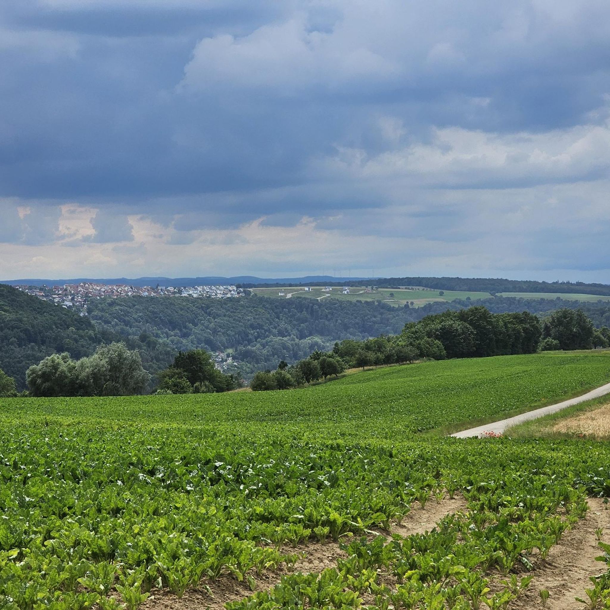
Hiking trails around Ingelfingen are characterized by the scenic Kocher valley, surrounded by rolling hills and forested slopes. The region's geology, particularly the Muschelkalk limestone, contributes to varied terrain with occasional rock formations and elevated viewpoints. This landscape offers a mix of riverside paths and trails ascending to higher ground, providing diverse hiking experiences.
Best hiking trails around Ingelfingen
- The most popular hiking route is From the heights to the Kocher valley, a 9.8 miles (15.8 km) trail that…
Last updated: September 25, 2026
4.0
(7)
39
hikers
15.8km
04:30
340m
340m
Moderate hike. Good fitness required. Mostly accessible paths. Sure-footedness required.
4.8
(17)
117
hikers
12.6km
03:37
280m
280m
Moderate hike. Good fitness required. Mostly accessible paths. Sure-footedness required.

4.8
(4)
19
hikers
10.9km
03:07
240m
240m
Moderate hike. Good fitness required. Mostly accessible paths. Sure-footedness required.
4.4
(30)
48
hikers
7.00km
01:59
150m
150m
Easy hike. Great for any fitness level. Easily-accessible paths. Suitable for all skill levels.
5.0
(8)
33
hikers
Easy hike. Great for any fitness level. Easily-accessible paths. Suitable for all skill levels.
Get access to more routes and recommendations from other explorers.
Already have an account?
Our route recommendations are based on thousands of hikes, rides, and runs completed by other people on komoot.
Start today with a free account
Your next adventure awaits.
Popular around Ingelfingen
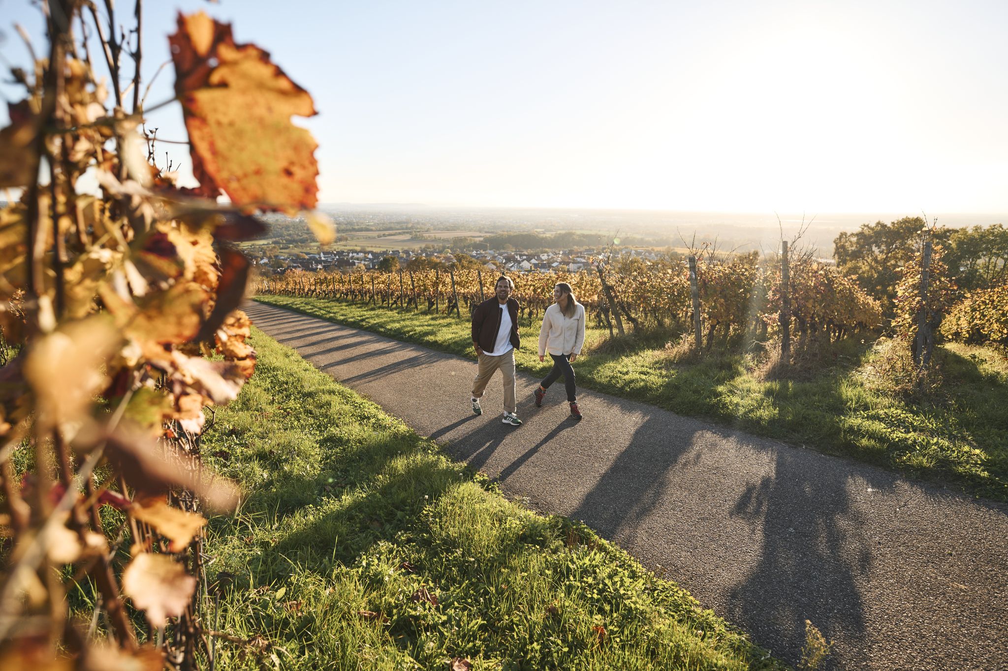
Fine drops and local cuisine – gourmet hiking in the Süden ganz oben
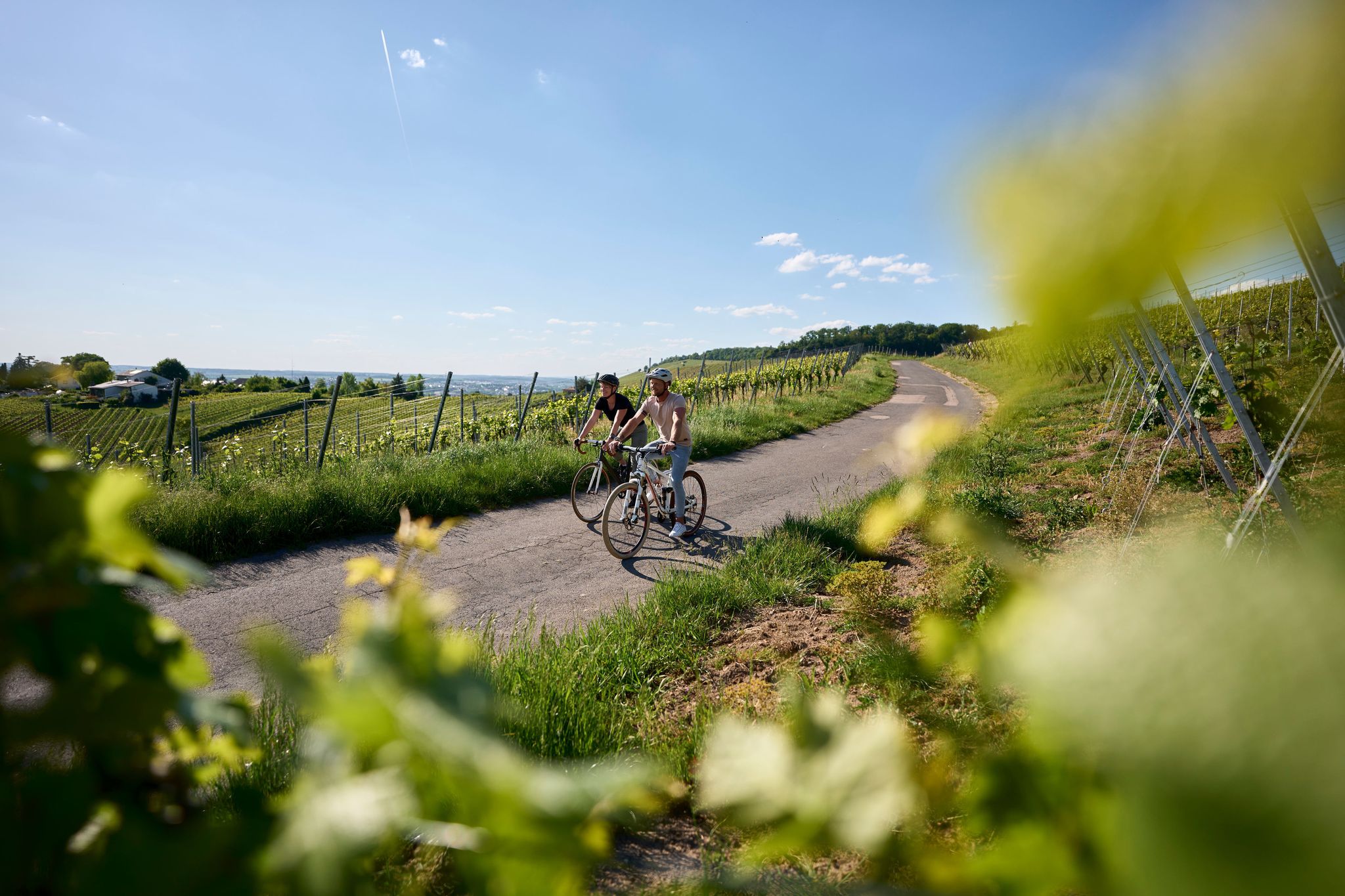
Württemberg Wine Route from the Tauber Valley to the Neckar
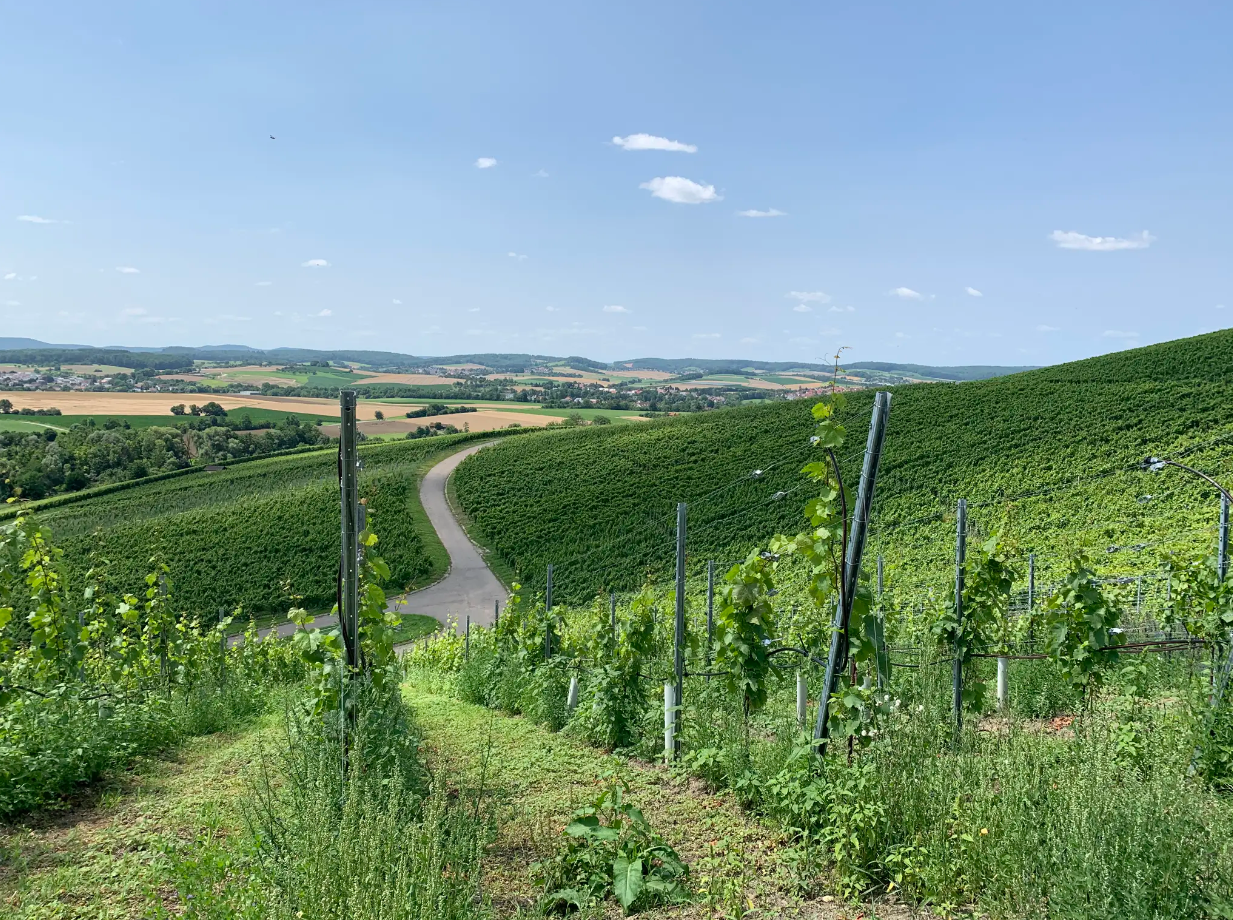
Cycle through vineyards on Germany’s Württemberg Wine Cycle Route
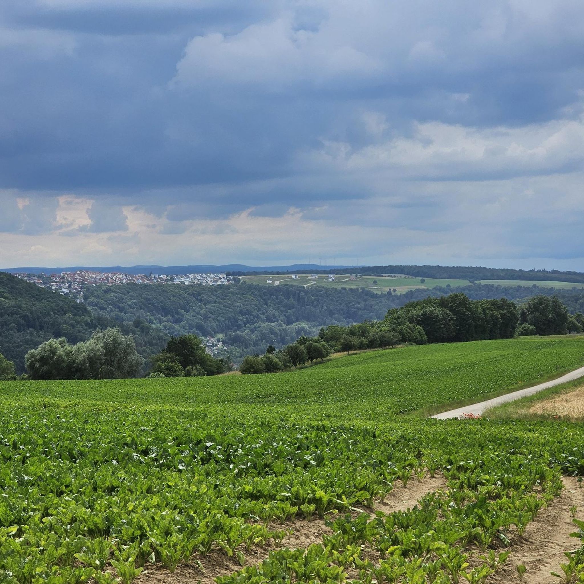
Road Cycling Routes around Ingelfingen
Cycling around Ingelfingen
Running Trails around Ingelfingen
MTB Trails around Ingelfingen
Gravel biking around Ingelfingen
Other adventures around Ingelfingen


Tips from the Community

Beautifully restored old vineyard wall, which unfortunately no longer leads to a cultivated vineyard.
0
0

Definitely check opening hours before the tour.
0
0

By bike through Ingelfingen
0
0
View of Ingelfingen during the bike ride
0
0

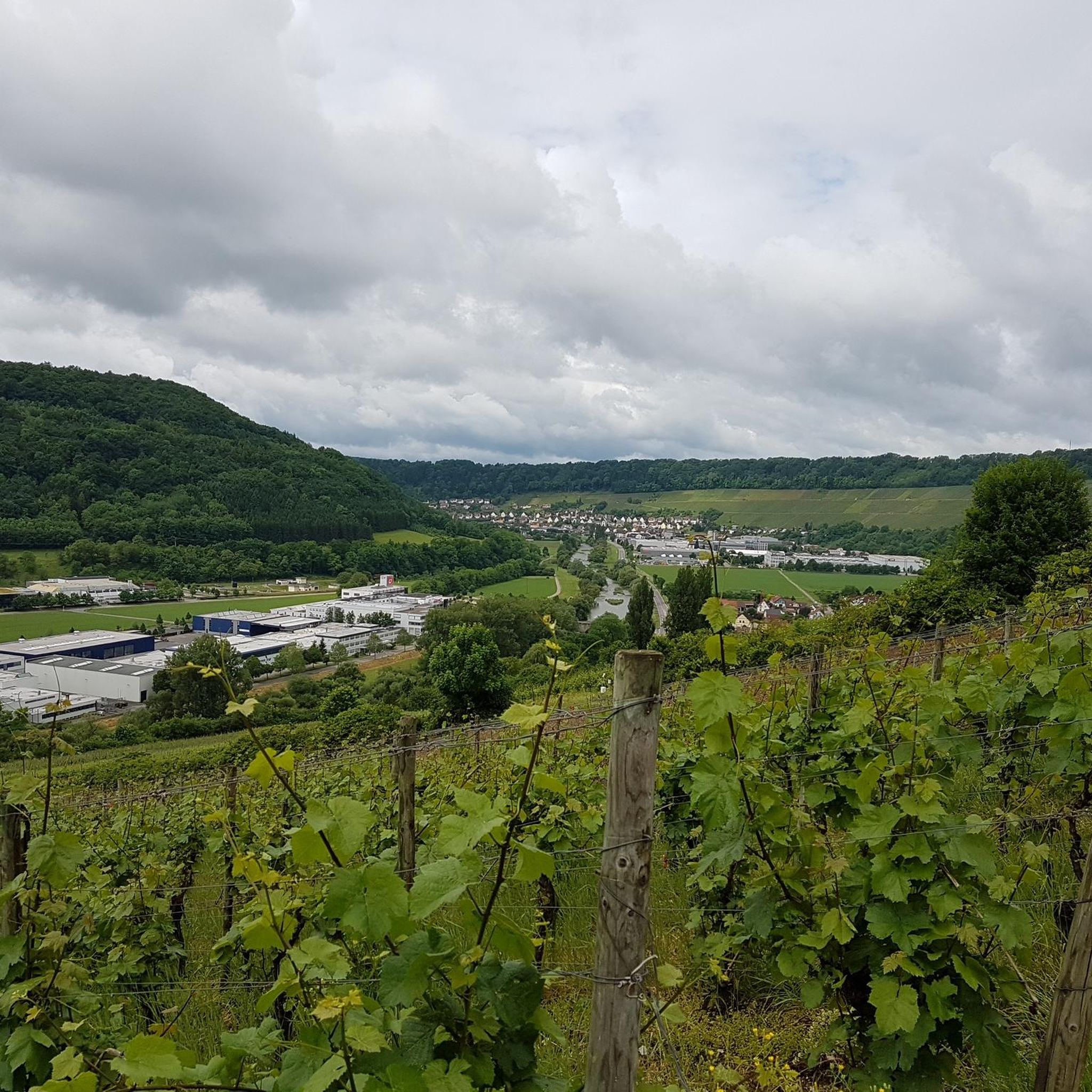
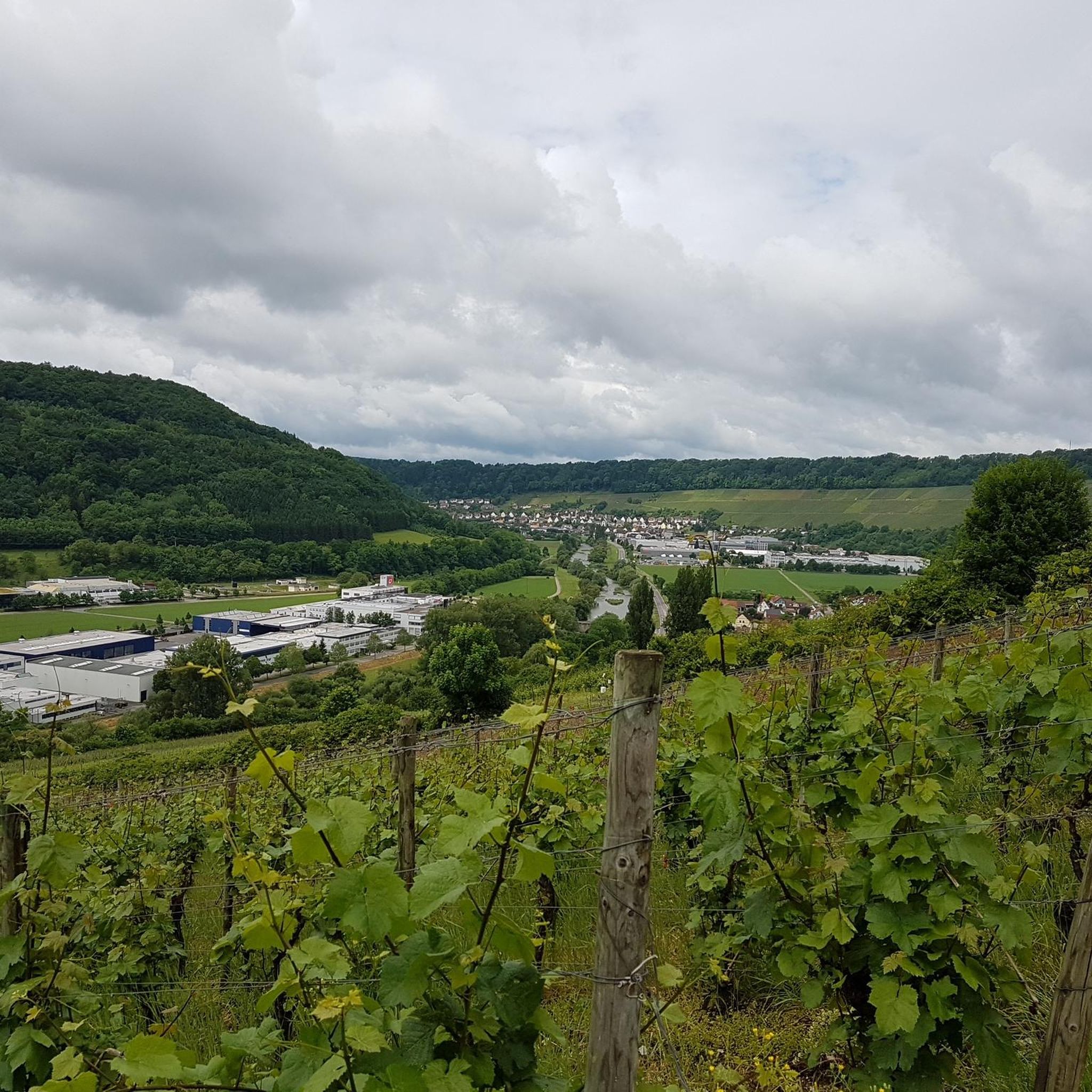
Nice place to stop and enjoy the view – a quiet, atmospheric stop between vineyard and landscape.
6
0
The former court blacksmith's hearth is a small but impressive relic of old craftsmanship. The brick chimney is a reminder of where metal was once heated and workpieces were forged.
6
0
With its traditional half-timbered facade and representative location, it is reminiscent of the time when princely administration and urban life were closely intertwined here.
5
0
The Weinbaumuseum Ingelfinger Fass is a striking viewpoint and at the same time a small cultural highlight above Ingelfingen. The large, barrel-shaped building towers over the vineyards and offers a wide view into the Kochertal valley – a perfect place for a short break with a panorama.
4
0
Frequently Asked Questions
How many hiking trails are available around Ingelfingen?
Ingelfingen offers a wide variety of hiking experiences, with over 130 routes available. These trails cater to different preferences, from leisurely strolls along the river to more challenging ascents into the surrounding hills.
What kind of terrain can I expect on hikes around Ingelfingen?
Hikes around Ingelfingen are characterized by the scenic Kocher valley, surrounded by rolling hills and forested slopes. The region's geology, particularly the Muschelkalk limestone, contributes to varied terrain with occasional rock formations and elevated viewpoints. You'll find a mix of riverside paths and trails ascending to higher ground.
Are there easy hiking trails suitable for beginners or casual walkers in Ingelfingen?
Yes, Ingelfingen offers many easy hiking options. Out of the 136 available routes, 78 are classified as easy, making them perfect for beginners, families, or those looking for a relaxed walk. These trails generally feature less elevation gain and smoother paths.
Are there any circular hiking routes in Ingelfingen?
Yes, many of the trails around Ingelfingen are designed as circular routes, allowing you to start and end at the same point. Examples include the Lichteneck Castle Ruins – Criesbach Saddle Viewpoint loop from Ingelfingen and the Muschelkalk Museum Ingelfingen – Criesbach Saddle Viewpoint loop from Ingelfingen.
What are some notable landmarks or points of interest I can see while hiking?
The Ingelfingen area is rich in natural and historical sights. Along your hikes, you might encounter impressive gorges such as the Zimmerbach Valley or the Rötelbachtal. There are also various huts and viewpoints, like the Gratmannsplatte Hut or the Schlackohrenpilz Pavilion and View of Assamstadt, offering great spots for a break or panoramic views.
What is the typical duration for hikes in Ingelfingen?
Hiking durations vary significantly depending on the trail's length and difficulty. For example, the moderate From the heights to the Kocher valley route typically takes around 4 hours and 30 minutes, while the Muschelkalk Museum Ingelfingen – Criesbach Saddle Viewpoint loop from Ingelfingen can be completed in about 3 hours and 50 minutes. Many shorter, easier trails are also available for quicker walks.
What do other hikers enjoy most about the trails in Ingelfingen?
The hiking trails in Ingelfingen are highly regarded by the komoot community, with an average rating of 4.6 stars from over 300 reviews. Hikers often praise the varied terrain, the beautiful views of the Kocher valley, and the well-maintained paths that lead through both forested areas and open landscapes.
Are there any hikes that offer particularly good viewpoints?
Yes, the region is known for its scenic viewpoints. Trails like the Lichteneck Castle Ruins – Criesbach Saddle Viewpoint loop from Ingelfingen specifically highlight panoramic vistas. Many routes that ascend from the valley floor into the hills will reward you with expansive views of the Kocher valley and the surrounding countryside.
Can I find trails that combine natural beauty with historical sites?
Absolutely. Ingelfingen's history is intertwined with its landscape. Routes such as the Lichteneck Castle Ruins – Criesbach Saddle Viewpoint loop from Ingelfingen allow you to explore historical ruins while enjoying the natural surroundings. The Muschelkalk Museum Ingelfingen – Criesbach Saddle Viewpoint loop from Ingelfingen also combines cultural landmarks with natural viewpoints.
What is the best time of year for hiking in Ingelfingen?
The hiking season in Ingelfingen generally extends from spring through autumn, when the weather is mild and the landscapes are vibrant. Spring brings blooming wildflowers, while autumn offers stunning fall foliage. Summer is also popular, though it can be warmer, making early mornings or late afternoons ideal. Winter hiking is possible, but some trails might be slippery or require appropriate gear due to snow or ice.
Are there any longer, more challenging hikes for experienced hikers?
While most trails are easy to moderate, there are options for more experienced hikers seeking a challenge. The region features 5 difficult routes that offer greater distances and more significant elevation changes. These trails provide a good workout and often lead to more remote or elevated viewpoints.
Most popular routes around Ingelfingen
Most popular attractions around Ingelfingen

Get inspired with the komoot mobile app


Explore more
Browse the best Hikes in other regions.
