The best cycling routes in Mount Tamalpais State Park
4.5
(443)
7,401
riders
159
rides
Touring cycling in Mount Tamalpais State Park offers a diverse landscape of redwood forests, oak woodlands, and open grasslands. The region features rolling hills and dramatic coastal landscapes, with dedicated routes primarily on fire roads and the historic Old Railroad Grade. This network provides varied terrain, from evenly graded paths to steeper segments, suitable for different fitness levels.
Best touring cycling routes in Mount Tamalpais State Park
- The most popular touring cycling route is Muir Woods Cycle Loop, a 9.8 miles (15.8 km) trail that takes 1 hour 17 minutes to complete. This moderate route traverses through cool redwood forests.
- Another top favourite among local touring cyclists is Marin Coastal Bike Route, a moderate 5.5 miles (8.8 km) path. This route offers views of the Pacific Ocean and coastal landscapes.
- Local touring cyclists also love the Golden Gate Bridge – View of the Golden Gate Bridge loop from Mount Tamalpais State Park, a 45.0 miles (72.5 km) trail leading through varied terrain with panoramic views, often completed in about 5 hours 6 minutes.
- Touring cycling in Mount Tamalpais State Park is defined by redwood forests, open grasslands, and coastal ridgelines. The network offers options for different ability levels, from moderate paths to more difficult, longer routes.
- The routes in Mount Tamalpais State Park are highly rated by the komoot community with an average score of 4.6 stars from over 415 reviews. More than 9000 touring cyclists have used komoot to explore Mount Tamalpais State Park's varied terrain.
Last updated: August 3, 2026
3
riders
15.8km
01:18
420m
230m
The Muir Woods Cycle Loop plunges you into the lush, verdant landscapes surrounding the famous redwood forests of Marin County. This touring cycling route offers a true taste of the region's challenging, hilly terrain, with roads winding through dense forests and providing glimpses of the Pacific Ocean. You'll experience the unique atmosphere of the coastal redwood environment, even if you're not cycling directly through Muir Woods National Monument itself. The sustained climbs and descents make for a memorable and demanding ride.
Planning your visit for this moderate 9.8-mile (15.8 km) loop, which features 1372 feet (418 metres) of elevation gain and typically takes around 1 hour and 17 minutes, is crucial. The area's roads are well-maintained but often narrow, with traffic, especially on weekends. Given the steep grades, consider tackling this route during cooler parts of the day or year to make the significant ascents more manageable. Always be prepared for a workout.
This route is a prime example of the challenging and scenic cycling available in the Muir Woods area, known for its demanding climbs and panoramic views. While direct access through Muir Woods National Monument is restricted for cyclists, the surrounding roads offer an immersive experience of the redwood forests and coastal vistas. It's an excellent option for experienced touring cyclists looking for a significant physical challenge combined with stunning natural beauty in Marin County.
8.84km
00:46
300m
300m
Cycle the moderate 5.5 miles (8.8 km) Marin Coastal Bike Route in Mount Tamalpais State Park, featuring ocean views and Gull Rock Overlook.

Sign up for free
5.0
(2)
94
riders
71.6km
04:48
1,000m
1,000m
This challenging touring cycling route offers an incredible journey through diverse landscapes, starting from the periphery of the redwood forests near Muir Woods and climbing into the dramatic Marin Headlands. You'll navigate a mix of paved roads and rough, unpaved fire roads, all while soaking in unparalleled views of the Pacific Ocean, rugged cliffs, and the iconic Golden Gate Bridge. The constant elevation changes and varied terrain make this a truly memorable, albeit demanding, ride.
Planning for this difficult 44.5-mile (71.6 km) loop, with its 3271 feet (997 metres) of elevation gain, requires a well-equipped touring bike and good endurance. The estimated duration is around 4 hours and 47 minutes, but plan for longer given the varied surfaces and potential for photo stops. Remember that cycling is restricted within Muir Woods National Monument itself, so your ride will begin from the surrounding areas. Be ready for exposure to wind and fog, especially in the Headlands.
What makes this cycling route truly stand out are the iconic views of the Golden Gate Bridge and the San Francisco skyline, coupled with the transition through distinct ecosystems. You'll pass by historic military batteries nestled into the bluffs, offering a glimpse into the region's past, and have opportunities for wildlife viewing. It's an epic undertaking that rewards prepared cyclists with a rich natural and historical experience.
4.3
(8)
252
riders
73.5km
05:09
1,320m
1,320m
Hard bike ride. Very good fitness required. Mostly paved surfaces. Suitable for all skill levels.
3.5
(6)
75
riders
93.9km
06:37
1,440m
1,440m
Hard bike ride. Very good fitness required. Mostly paved surfaces. Suitable for all skill levels.
Get access to more routes and recommendations from other explorers.
Sign up for free
Already have an account?
Our route recommendations are based on thousands of hikes, rides, and runs completed by other people on komoot.
Start today with a free account
Your next adventure awaits.
Login or Signup
Popular around Mount Tamalpais State Park

Bay Area Ridge Trail — Circumnavigating the San Francisco Bay

Bay Area Ridge Trail — Hiking the backbone of The Bay

Chasing flow in the Bay Area
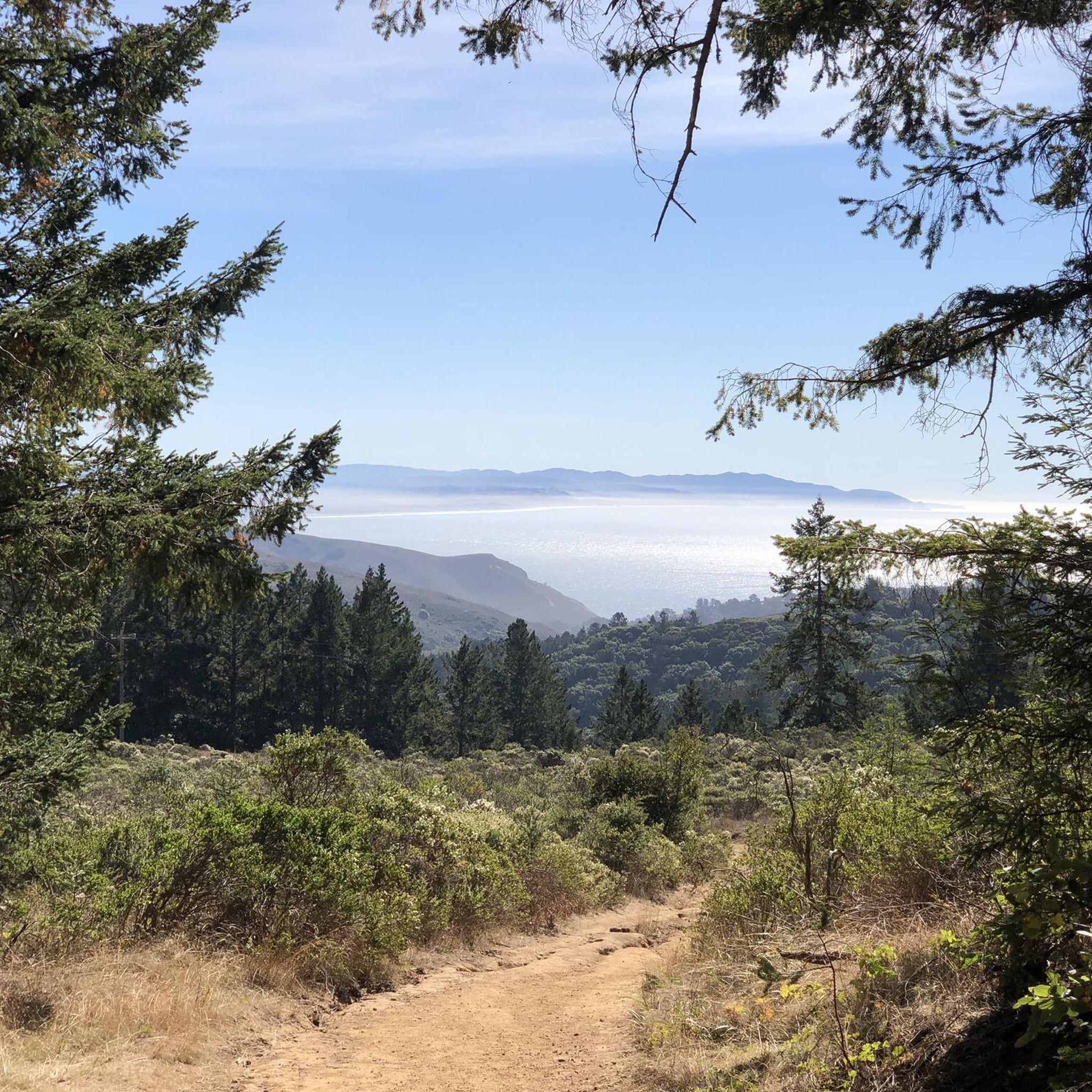
Hiking in Mount Tamalpais State Park
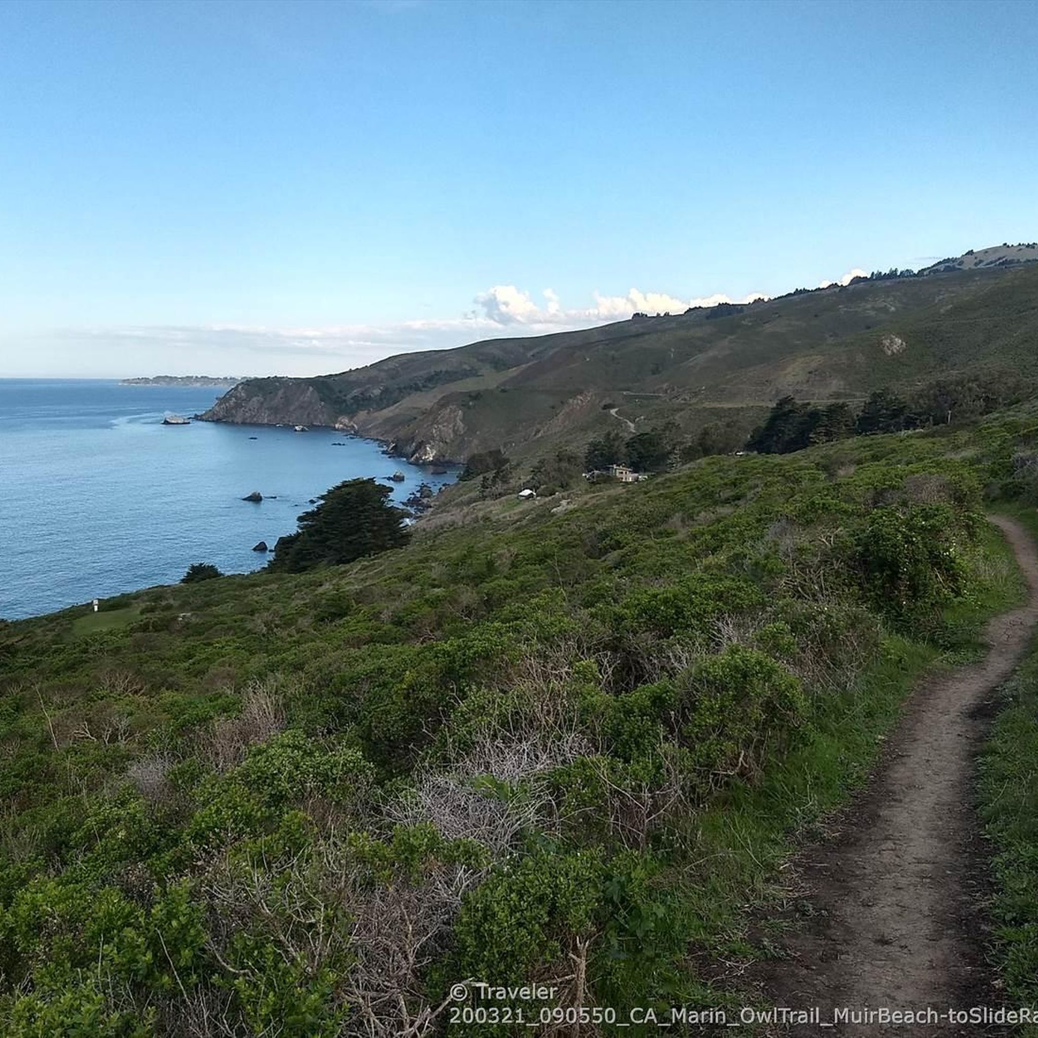
Running Trails in Mount Tamalpais State Park
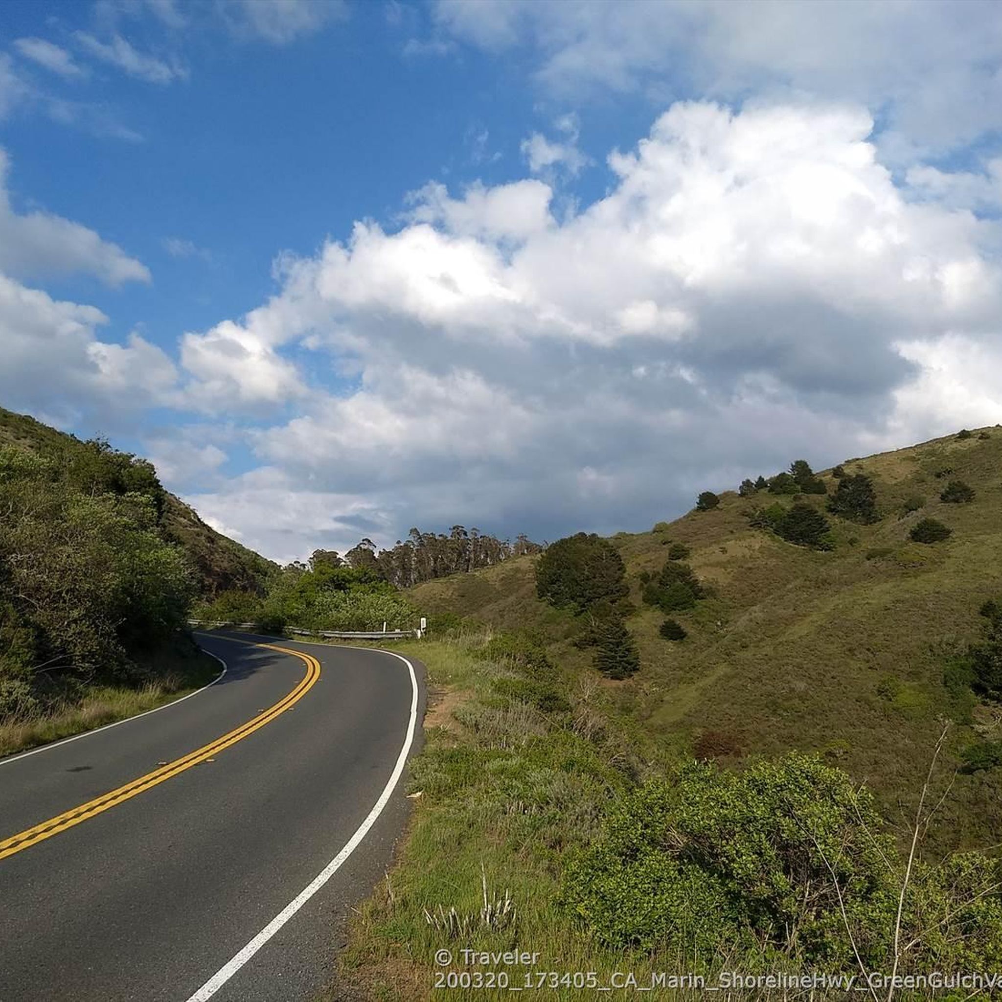
Road Cycling Routes in Mount Tamalpais State Park
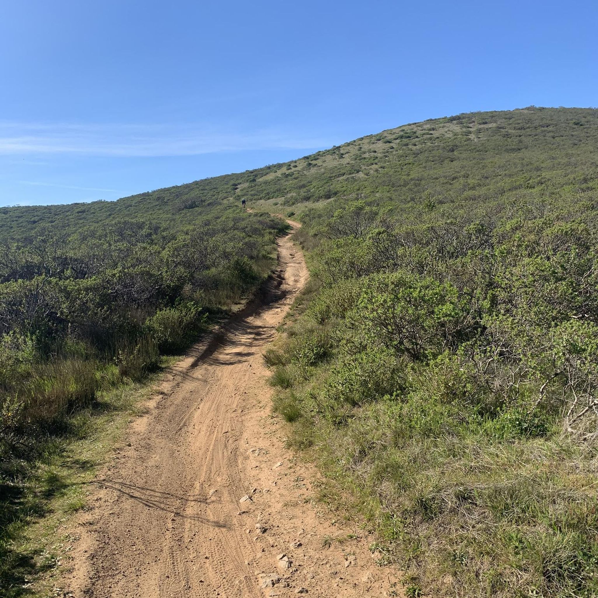
MTB Trails in Mount Tamalpais State Park
Gravel biking in Mount Tamalpais State Park


Tips from the Community


Arrival of the magnificent Golden Gate crossing
0
0

Good vantage point.
0
0

This "Four Corners" intersection on the saddle of Panoramic Highway is the transition for Sequoia Valley Rd crossing over to the Pacific side into Muir Woods Rd. There are also three trails arriving from the Bay side at this point. The views reach from the Bay on one side to the Pacific Ocean on the other.
0
0

This overlook designed by Mr. Bowers is one of many highway improvements that are the result of his leadership, innovation and lifelong dedication to attractive highway design, landscaping, erosion control and roadside improvements. The view of the Golden Gate Bridge from here is simply magnificent.
3
0
This overlook designed by Mr. Bowers is one of many highway improvements that are the result of his leadership, innovation and lifelong dedication to attractive highway design, landscaping, erosion control and roadside improvements.
2
0
. H. Dana Bowers (1903-1977) Chief Landscape Architect for the California Division of Highways. Created and promoted the California Highway Beautification Program from 1936 to 1964. This overlook designed by Mr. Bowers is one of many highway improvements that are the result of his leadership, innovation and lifelong dedication to attractive highway design, landscaping, erosion control and roadside improvements. His work is quietly reflected in the beauty of many California highways.
2
0

Really nice spot to view the Golden Gate Bridge!
2
0
Frequently Asked Questions
What types of touring cycling routes are available in Mount Tamalpais State Park?
Mount Tamalpais State Park offers a diverse range of touring cycling routes, catering to various skill levels. You'll find everything from evenly graded paths, such as the historic Old Railroad Grade, suitable for road bikes, to more challenging unpaved fire roads and steeper segments. The park features over 160 touring cycling routes, with a good mix of easy, moderate, and difficult options to explore.
Are there any easy or family-friendly touring cycling routes in the park?
Yes, Mount Tamalpais State Park has routes suitable for families and those looking for an easier ride. The Old Railroad Grade is particularly noted for its wide, evenly graded path, making it a pleasant option. Overall, there are over 30 easy touring cycling routes available, perfect for a relaxed outing.
What are some of the most scenic viewpoints or natural features I can experience while cycling?
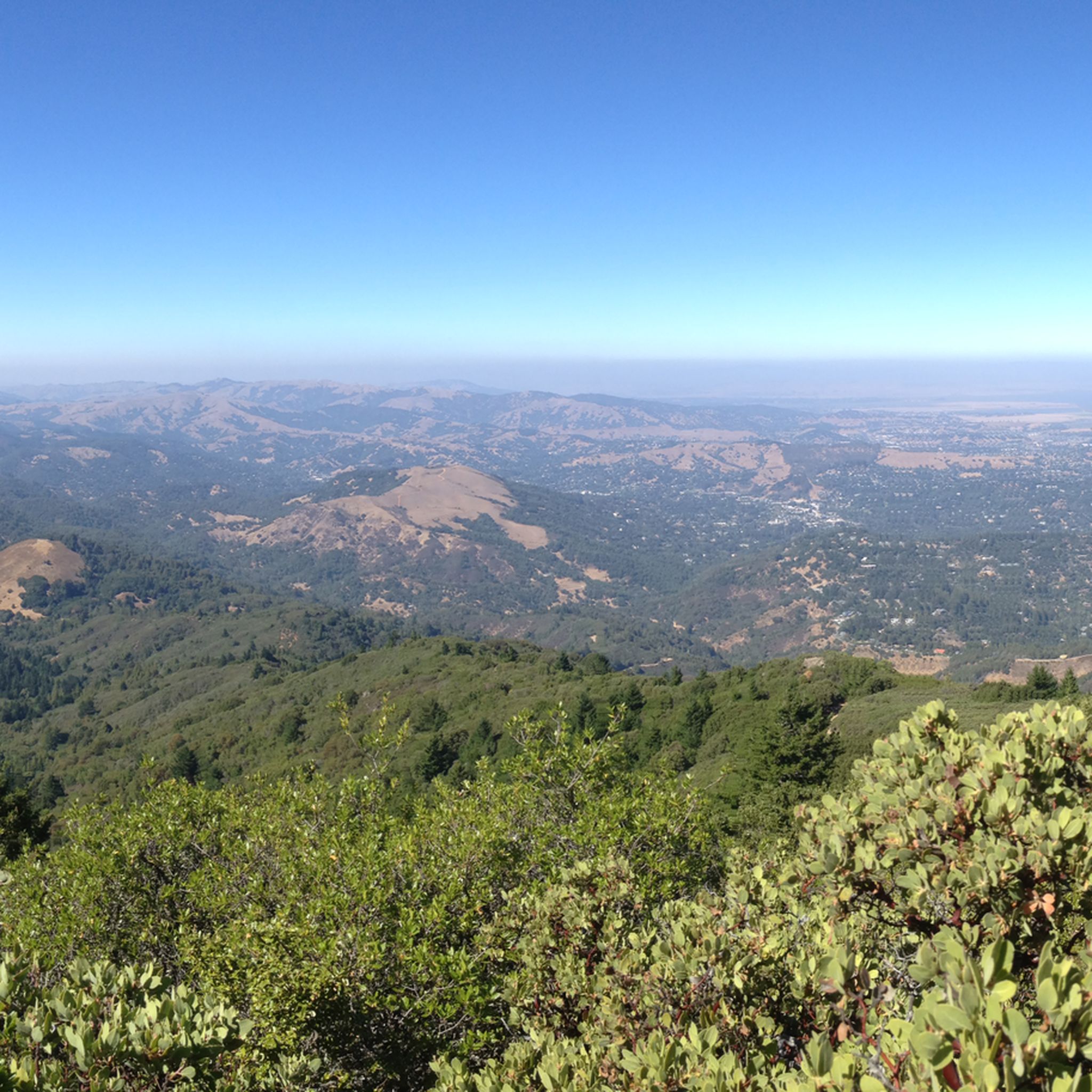
Cyclists are rewarded with breathtaking panoramic views throughout the park. From the upper reaches, vistas stretch across the Pacific Ocean, the Marin County hills, and the San Francisco Bay. The East Peak Summit offers a spectacular 360-degree view. You can also cycle through cool redwood forests, expansive oak woodlands, and open grasslands. The park is home to picturesque waterfalls, like those along Steep Ravine and Cataract Falls trails, and scenic lakes such as Bon Tempe, Alpine, and Kent Lake.
Can I access Muir Woods National Monument from the touring cycling routes?
Yes, Mount Tamalpais State Park connects to the adjacent Muir Woods National Monument, extending your exploration possibilities. One popular route, the Muir Woods Cycle Loop, takes you directly through cool redwood forests near the monument entrance. You can also find the Muir Woods National Monument Entrance as a highlight within the park.
What are some other notable attractions or landmarks to see in the park?
Beyond the natural beauty, Mount Tamalpais State Park offers several interesting landmarks. You can visit the Mount Tamalpais Summits for incredible views, explore the Pantoll Road viewpoint, or see the historic Gravity Car Barn, which provides a glimpse into the old Mount Tamalpais Scenic Railway. The Mountain Theater (Cushing Memorial Amphitheatre) is an open-air stone theater that hosts events.
What is the best time of year to go touring cycling in Mount Tamalpais State Park?
Spring is an excellent time for cycling in Mount Tamalpais State Park, as meadows burst with wildflowers. The park's diverse ecosystems mean you can experience fog-kissed forests or sun-drenched ridgelines depending on the season and weather. Clear days offer the best panoramic views, sometimes even extending to the Sierra Nevada Mountains.
Are there any long-distance touring cycling routes that include views of the Golden Gate Bridge?
Absolutely. For a longer ride with iconic views, consider the Golden Gate Bridge – View of the Golden Gate Bridge loop from Mount Tamalpais State Park. This challenging 45-mile (72.5 km) route leads through varied terrain and offers panoramic views, often including the Golden Gate Bridge, and typically takes around 5 hours to complete.
What do other touring cyclists say about their experience in Mount Tamalpais State Park?
The touring cycling routes in Mount Tamalpais State Park are highly rated by the komoot community, with an average score of 4.6 stars from over 415 reviews. Reviewers often praise the diverse landscapes, from redwood forests to coastal ridgelines, and the variety of routes suitable for different ability levels. Over 9,000 touring cyclists have used komoot to explore the park's terrain.
Are there any circular touring cycling routes available?
Yes, many of the touring cycling routes in Mount Tamalpais State Park are designed as loops, allowing you to start and end at the same point. Examples include the Muir Woods Cycle Loop and the Twin Knolls – Mount Tamalpais Summits loop from Stinson Beach, offering convenient options for your ride.
Where can I find water and facilities along the routes?
Facilities like water, bathrooms, and bike racks are available at key points within the park, such as at the East Peak. It's always a good idea to carry sufficient water, especially on longer or more challenging routes, as availability may vary across the extensive network.
Are there any specific rules or permits required for cycling in Mount Tamalpais State Park?
Mount Tamalpais State Park is managed by California State Parks. While general cycling is permitted on designated fire roads and trails like the Coast View Trail and Old Railroad Grade, it's always advisable to check the official park website for the most current regulations, permits, or any specific rules regarding cycling. You can find more information on the California State Parks website: parks.ca.gov.
What kind of terrain can I expect on the touring cycling routes?
The terrain in Mount Tamalpais State Park is quite varied. You'll encounter extensive networks of fire roads, which can be unpaved, as well as the historic Old Railroad Grade, known for its wide and evenly graded surface. Routes traverse through diverse ecosystems including cool redwood forests, oak woodlands, open grasslands, and chaparral, often involving rolling hills and some steeper segments that require good fitness.
Most popular routes in Mount Tamalpais State Park
Most popular attractions in Mount Tamalpais State Park

Get inspired with the komoot mobile app


Explore more
Browse the best Cycling routes in other regions.
