The best walks and hikes in Mount Tamalpais State Park
4.8
(374)
6,485
hikers
92
hikes
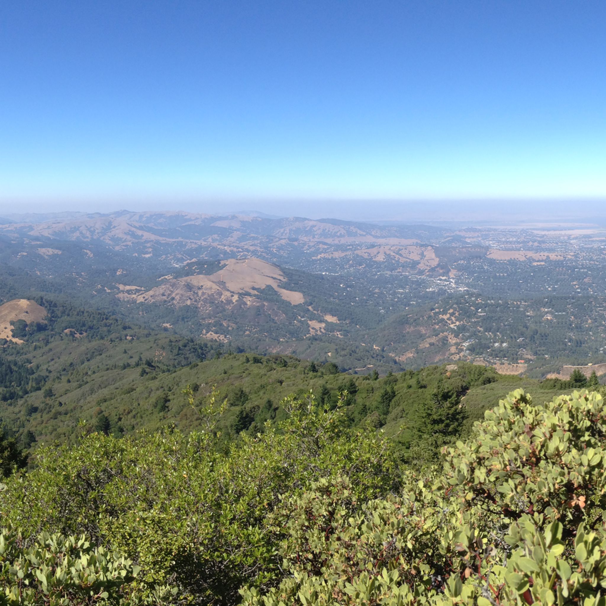
Hiking in Mount Tamalpais State Park explores a prominent peak in Marin County, with trails ascending to 2,571 feet (784 m). The park's landscape features deep canyons, redwood groves, oak woodlands, and open grasslands. Many routes provide views of the San Francisco Bay and the Pacific Ocean. The varied topography supports a diverse range of plant life, including chaparral and seasonal waterfalls.
Best hiking trails in Mount Tamalpais State Park
- The most popular hiking route is Stinson Beach to Mount…
Last updated: August 31, 2026
4.9
(17)
509
hikers
4.93km
01:19
30m
100m
If you're seeking a serene escape into the ancient redwood forests of Marin County, the Fern Creek and Hillside Loop offers a delightful experience. The Fern Creek section winds through…
5.0
(6)
103
hikers
25.1km
07:55
960m
1,060m
Embark on the Stinson Beach and Muir Woods Loop, a difficult hiking route that spans 15.6 miles (25.1 km) and climbs 3142 feet (958 metres). This challenging full-day adventure, estimated…

Sign up for free
5.0
(5)
62
hikers
31.8km
10:16
1,390m
1,210m
Embark on the Stinson Beach to Mount Tamalpais via Matt Davis and Steep Ravine Trail for a truly challenging hike. This difficult route spans 19.7 miles (31.8 km) and involves…
4.8
(29)
508
hikers
10.6km
03:26
470m
470m
Embark on the Matt Davis and Steep Ravine Loop, a moderate hike spanning 6.6 miles (10.6 km) with a total elevation gain of 1552 feet (473 metres). This route typically…
4.7
(3)
54
hikers
7.81km
02:21
260m
210m
Embark on the Cataract and Coastal Trail Loop, a moderate hike spanning 4.9 miles (7.8 km) with an elevation gain of 841 feet (256 metres). You can expect to complete…
Get access to more routes and recommendations from other explorers.
Sign up for free
Already have an account?
Our route recommendations are based on thousands of hikes, rides, and runs completed by other people on komoot.
Start today with a free account
Your next adventure awaits.
Login or Signup
Popular around Mount Tamalpais State Park

Bay Area Ridge Trail — Hiking the backbone of The Bay

Bay Area Ridge Trail — Circumnavigating the San Francisco Bay

Chasing flow in the Bay Area
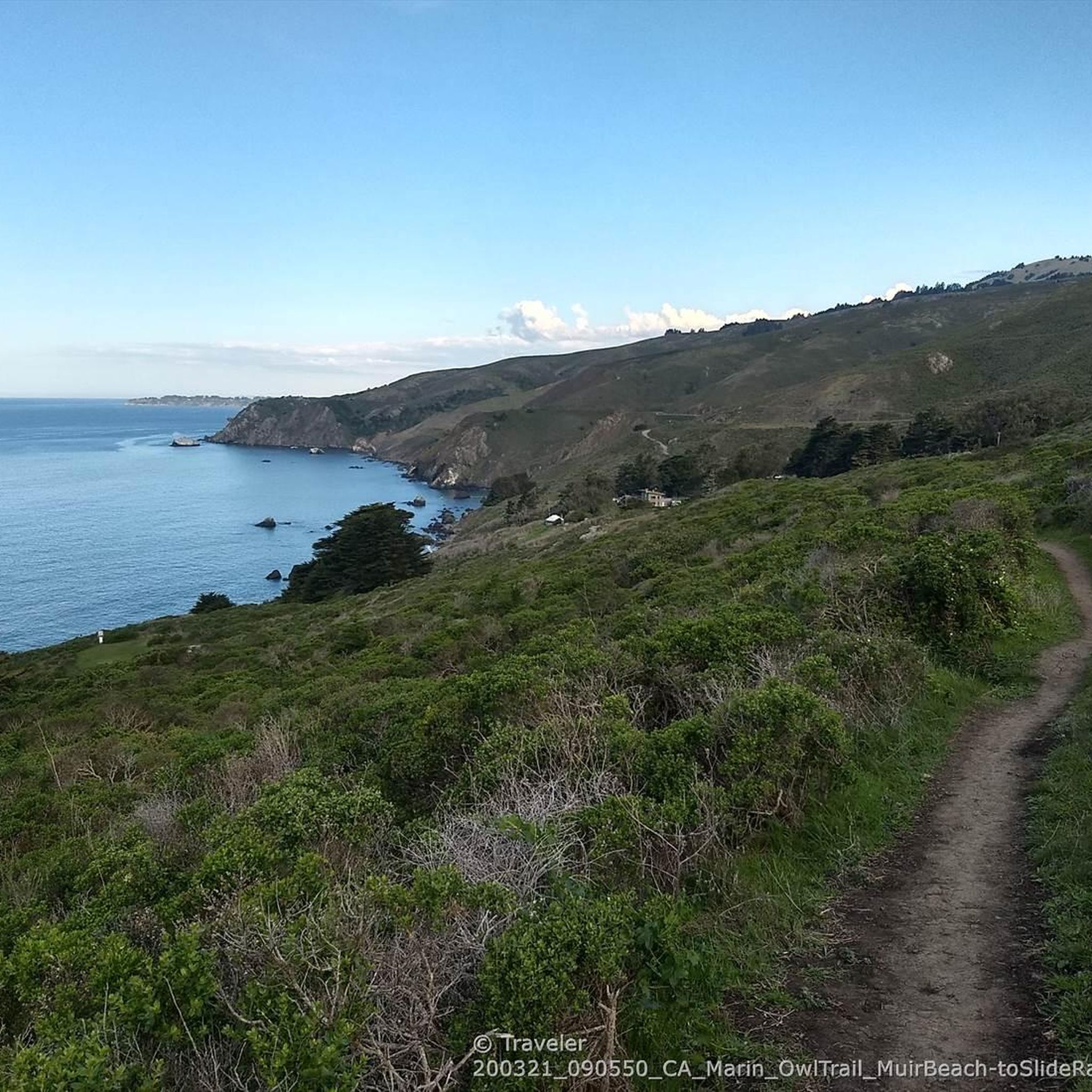
Running Trails in Mount Tamalpais State Park
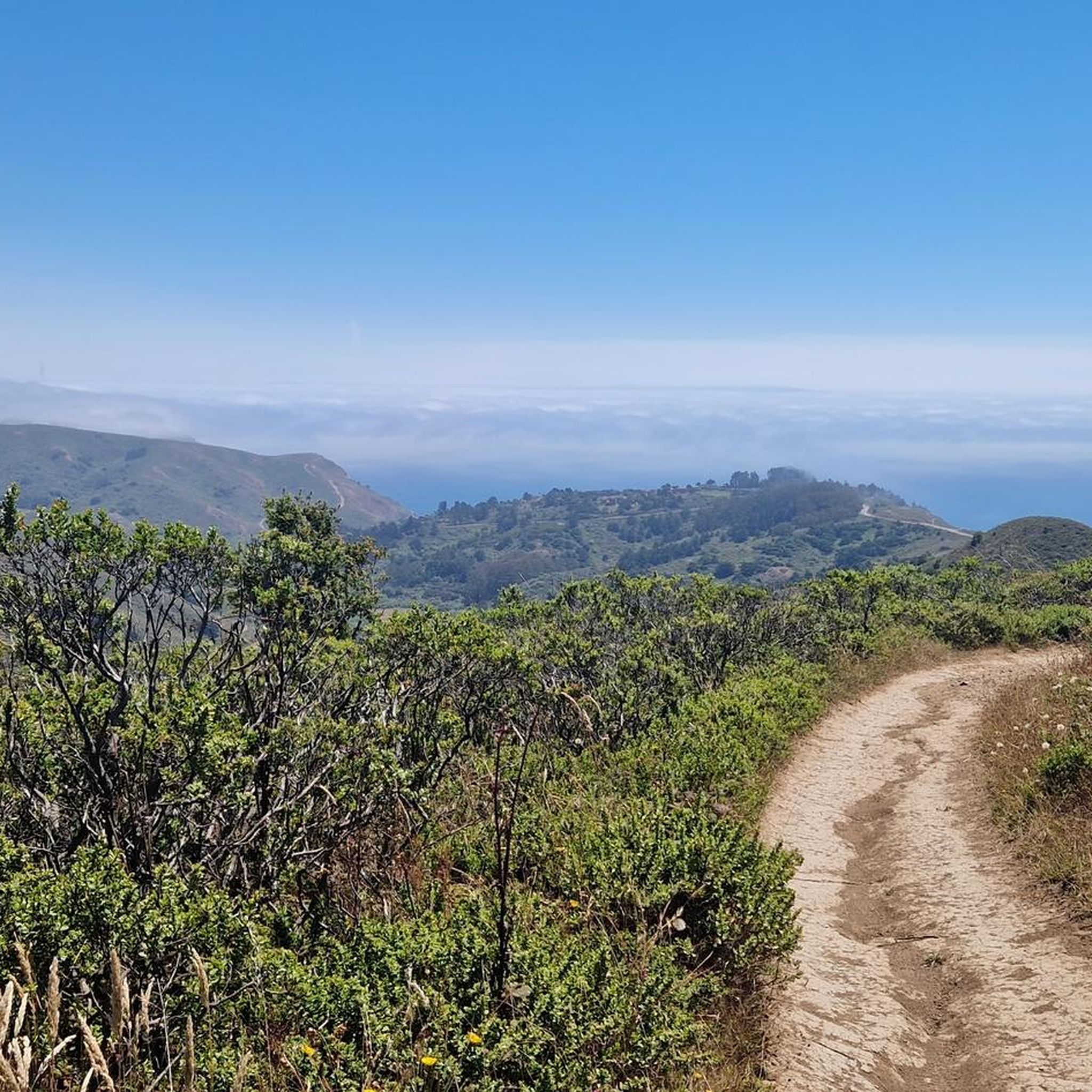
Cycling in Mount Tamalpais State Park
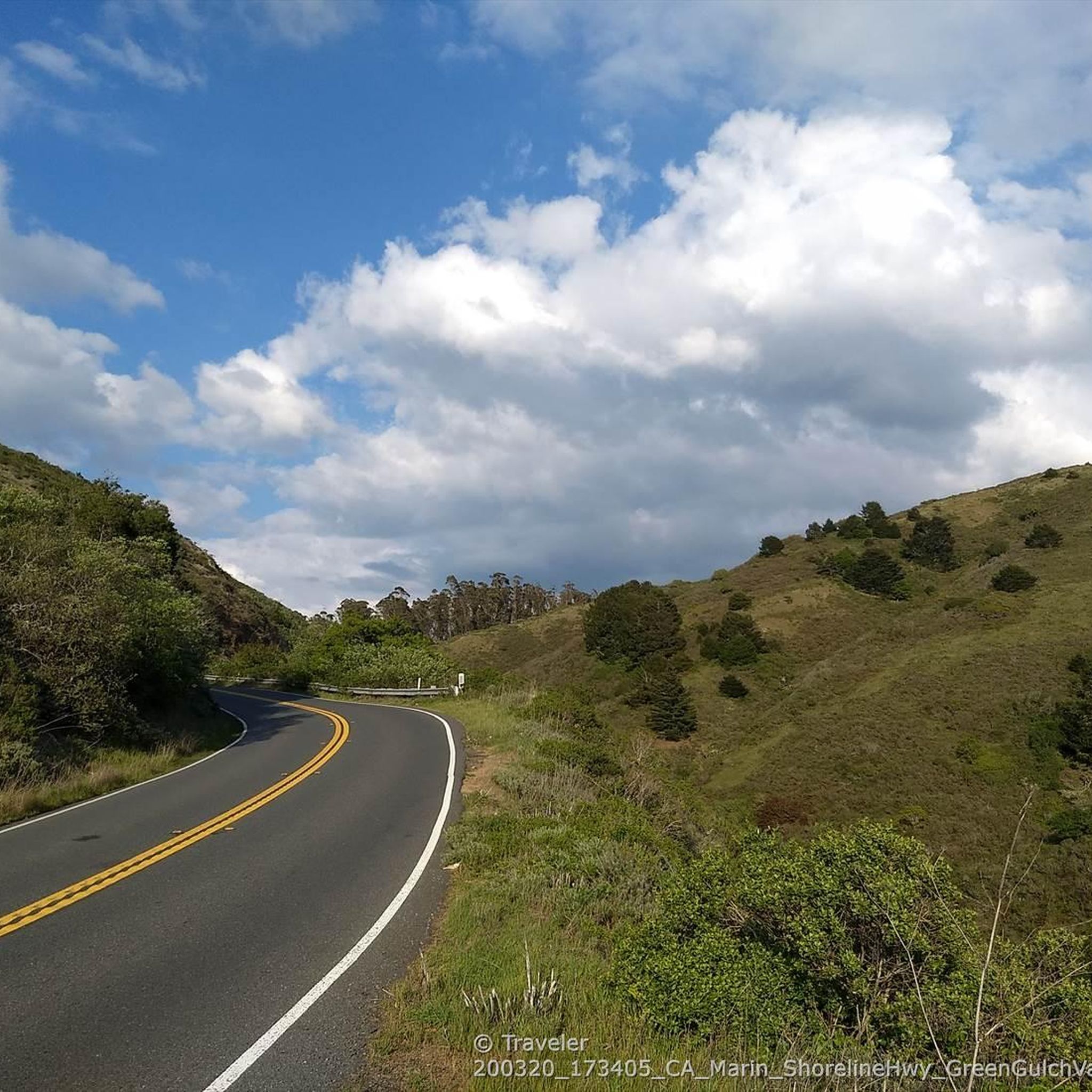
Road Cycling Routes in Mount Tamalpais State Park
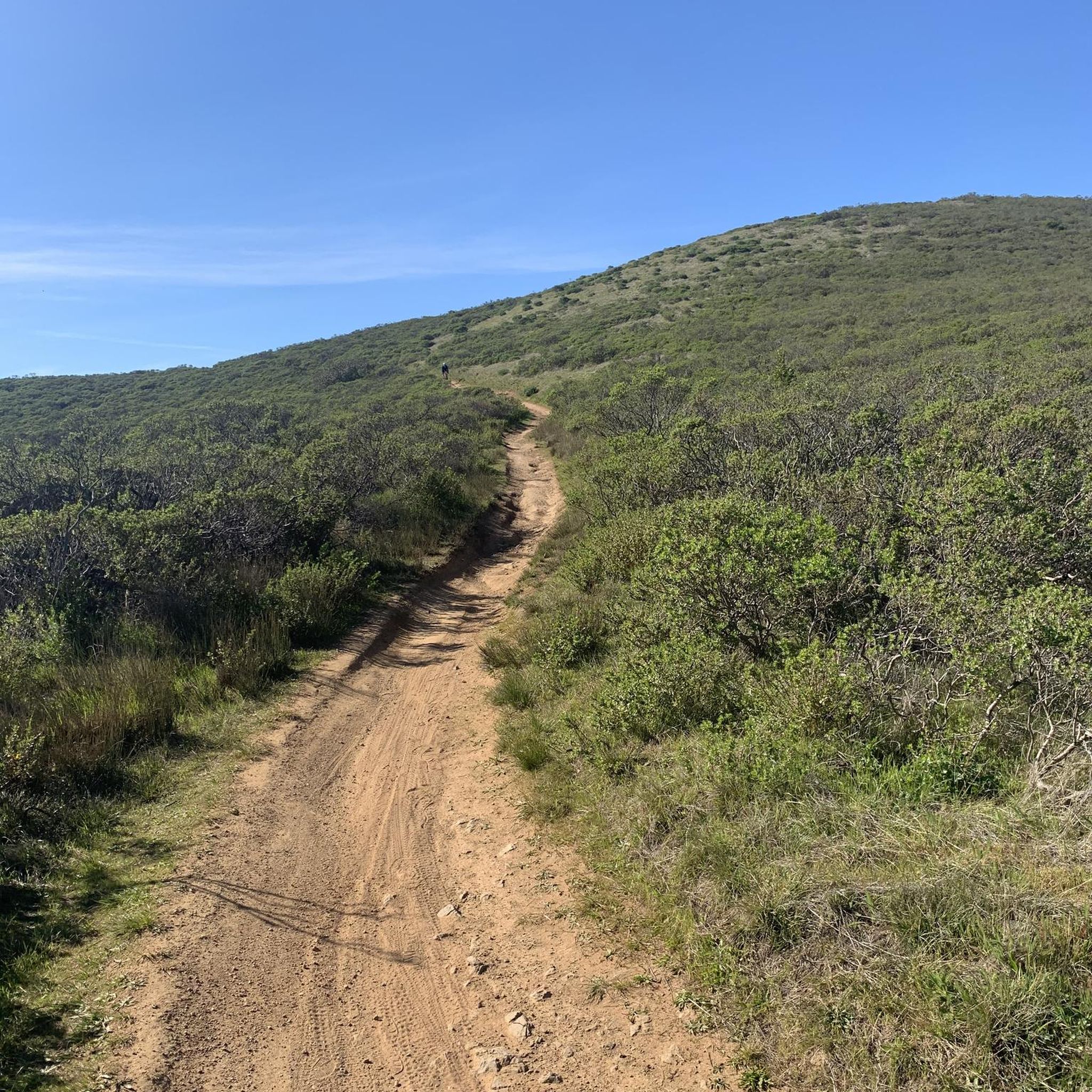
MTB Trails in Mount Tamalpais State Park
Gravel biking in Mount Tamalpais State Park


Tips from the Community

A gently rising, easily navigable road leads to Mt. Tamalpais with magnificent views of the Bay Area.
0
0

Take your time through this section of the hike! Great opportunity to capture picture of the monumental redwood trees as well as to take the time to appreciate their majesty!
0
0

closed indefinitely between Dipsea and Pantoll due to fully impassable trail
0
0

This mighty redwood is awe-inspiring. As one of the oldest trees on earth, standing inside offers a unique opportunity to connect with a part of nature that has existed for centuries.
0
0

We are very impressed by these huge trees. I couldn't capture the full size with my camera, so I'm adding a few cell phone photos as well. The largest specimen in Mui Woods is 78 m high, about the same height as a 23-story building.
2
0
We are very impressed by these huge trees. I couldn't capture the full size with my camera, so I'm adding a few cell phone photos as well. The largest specimen in Mui Woods is 78 m high, about the same height as a 23-story building.
2
0

The Rock Spring Trailhead offers picnic tables, good parking, and bathroom facilities. Open 24 hours, this trailhead is frequently used for quick access to the Rock Springs Trail, making it a convenient trailhead.
0
1

Cathedral Grove is located within Muir Woods National Monument in the Golden Gate National Recreation Area. This amazing grove is home to the tallest and oldest redwoods in the area! This peaceful area encourages quiet contemplation as visitors walk through it on a gentle loop trail. The coast redwoods (Sequoia sempervirens) in Cathedral Grove can reach heights of 380 feet, making them the tallest living things on Earth. Despite their massive size, redwoods have shallow roots, extending only 10 to 13 feet deep, but they spread out 60 to 80 feet and interlace with the roots of neighboring trees. This interconnected root system provides the strength needed to withstand strong coastal winds.
1
0
Frequently Asked Questions
Are dogs allowed on the trails in Mount Tamalpais State Park?
Dogs are generally not permitted on most trails within Mount Tamalpais State Park to protect wildlife and natural habitats. They are allowed on-leash on paved roads, in picnic areas, and in campgrounds. However, the adjacent Mount Tamalpais Watershed, managed by the Marin Municipal Water District, offers many dog-friendly trails where dogs can often be off-leash if under voice control. Always check local regulations before you go.
Where are the best places to park when visiting Mt. Tam?
Parking is available at several key trailheads, but lots can fill up quickly, especially on weekends. The main parking areas are at Pantoll and Bootjack trailheads, which serve as starting points for many popular loops. There is also a parking lot at the East Peak, which is ideal for accessing the summit and its panoramic views. Arriving early is highly recommended to secure a spot.
Are there any easy, family-friendly hikes in the park?
Yes, the Verna Dunshee Loop Trail at the East Peak is an excellent choice for families and visitors of all abilities. It's a paved, mostly flat 0.75-mile path that offers stunning 360-degree views of the Bay Area without a strenuous climb. For a different experience, the trails around the redwood groves near Muir Woods can also be suitable for shorter, less demanding walks.
Which trails are best for seeing waterfalls?
The Cataract Trail is the most famous hike in the area for waterfall viewing. After winter and spring rains, Cataract Creek tumbles down a series of cascades, creating a beautiful spectacle. The trail follows the creek through a lush, shaded canyon. Be prepared for a significant number of stairs and a potentially slippery path during the wet season.
What's the difference between hiking in Mt. Tamalpais State Park and Muir Woods?
While they are neighbors, they offer different experiences. Muir Woods National Monument is a protected old-growth coastal redwood forest with mostly paved, accessible, and relatively short trails designed to showcase the giant trees. Mt. Tamalpais State Park is much larger and offers a more diverse and rugged hiking experience with a vast network of trails through various ecosystems, including oak woodlands, open grasslands, and canyons, with significant elevation changes and expansive ocean views.
How do I get to Mount Tamalpais State Park using public transport?
Getting to the park via public transport can be challenging but is possible. The Marin Transit Route 61 bus, also known as the 'Muir Woods Shuttle,' provides service from Sausalito and Marin City to the Pantoll Ranger Station on weekends and holidays. From there, you can access the trail network. Be sure to check the latest schedule for Route 61 before your trip.
What kind of views can I expect from the trails?
The views are one of the main draws of hiking on Mt. Tam. Many trails offer expansive coastal vistas looking out over the Pacific Ocean and Stinson Beach. From higher elevations, particularly near the East Peak, you can get 360-degree panoramic views that encompass the San Francisco Bay, the city skyline, the Marin Headlands, and on very clear days, even the Farallon Islands and the Sierra Nevada.
How many hiking trails are there in the park?
Mount Tamalpais State Park and the surrounding public lands feature an extensive network of over 80 interconnected hiking trails. These routes range from easy, paved loops to strenuous, all-day treks, covering diverse terrain from redwood forests to exposed coastal ridges.
What do other hikers enjoy most about Mount Tamalpais State Park?
The area is highly rated by the komoot community, with an average score of 4.8 stars. Hikers frequently praise the incredible diversity of the landscape, from the serene redwood groves in Steep Ravine to the sweeping coastal views from the Matt Davis Trail. The well-maintained and extensive trail system is also a commonly mentioned highlight.
Are there any circular hikes that go through the redwood forests?
Yes, there are several excellent loops that take you through the park's beautiful redwood groves. The Redwood & Canopy Trail loop is a great moderate option that combines the deep shade of the forest with views from higher up on the canyon slopes. It's a fantastic way to experience the iconic trees of the region.
What is the best time of year to hike on Mt. Tam?
You can hike on Mt. Tam year-round, but each season offers a different experience. Spring (March-May) is spectacular, with green hills, flowing waterfalls, and abundant wildflowers. Autumn (September-November) often brings the clearest days for panoramic views. Summer can be foggy and cool near the coast but hot and dry inland. Winter is the rainy season, which is the best time for waterfalls but can mean muddy trails.
I'm looking for a challenging hike. What do you recommend?
For a classic Mt. Tam challenge, consider the Matt Davis Trail to Steep Ravine Trail loop. This route involves a significant amount of climbing, starting from near sea level at Stinson Beach and ascending through exposed coastal chaparral and a deep, fern-filled canyon. It's a demanding but highly rewarding hike.
Most popular routes in Mount Tamalpais State Park
Most popular attractions in Mount Tamalpais State Park

Get inspired with the komoot mobile app


Explore more
Browse the best Hikes in other regions.
