The best running trails in Hillkeep Regional Park
4.9
(33)
246
runners
16
runs
Jogging in Hillkeep Regional Park offers a network of trails primarily characterized by low elevation changes and proximity to water features. The routes often follow creek-side paths and loop around natural reserves, providing a generally flat and accessible running experience. The terrain is suitable for various fitness levels, with paths winding through areas like the Peach Creek Spawning Channels and Blue Heron Reserve.
Best jogging routes in Hillkeep Regional Park
- The most popular jogging route is Running loop from Peach…
Last updated: August 1, 2026
5.0
(2)
7
runners
Moderate run. Good fitness required. Mostly paved surfaces. Suitable for all skill levels.
4.0
(2)
31
runners
Moderate run. Good fitness required. Mostly paved surfaces. Suitable for all skill levels.

Sign up for free
18
runners
Moderate run. Good fitness required. Mostly paved surfaces. Suitable for all skill levels.
5
runners
6.92km
00:43
20m
20m
Moderate run. Good fitness required. Mostly paved surfaces. Suitable for all skill levels.
7
runners
17.4km
01:47
10m
10m
Hard run. Very good fitness required. Mostly paved surfaces. Suitable for all skill levels.
Get access to more routes and recommendations from other explorers.
Sign up for free
Already have an account?
Our route recommendations are based on thousands of hikes, rides, and runs completed by other people on komoot.
Start today with a free account
Your next adventure awaits.
Login or Signup


Tips from the Community

The Great Blue Heron Nature Reserve spans 325 acres across a protected wetland habitat for one of the area’s largest colonies of great blue herons. Visitors can explore the reserve on flat gravel trails and raised boardwalks. This beautiful marshland and wooded area are open year-round, with educational programs and volunteer stewardship.
0
0
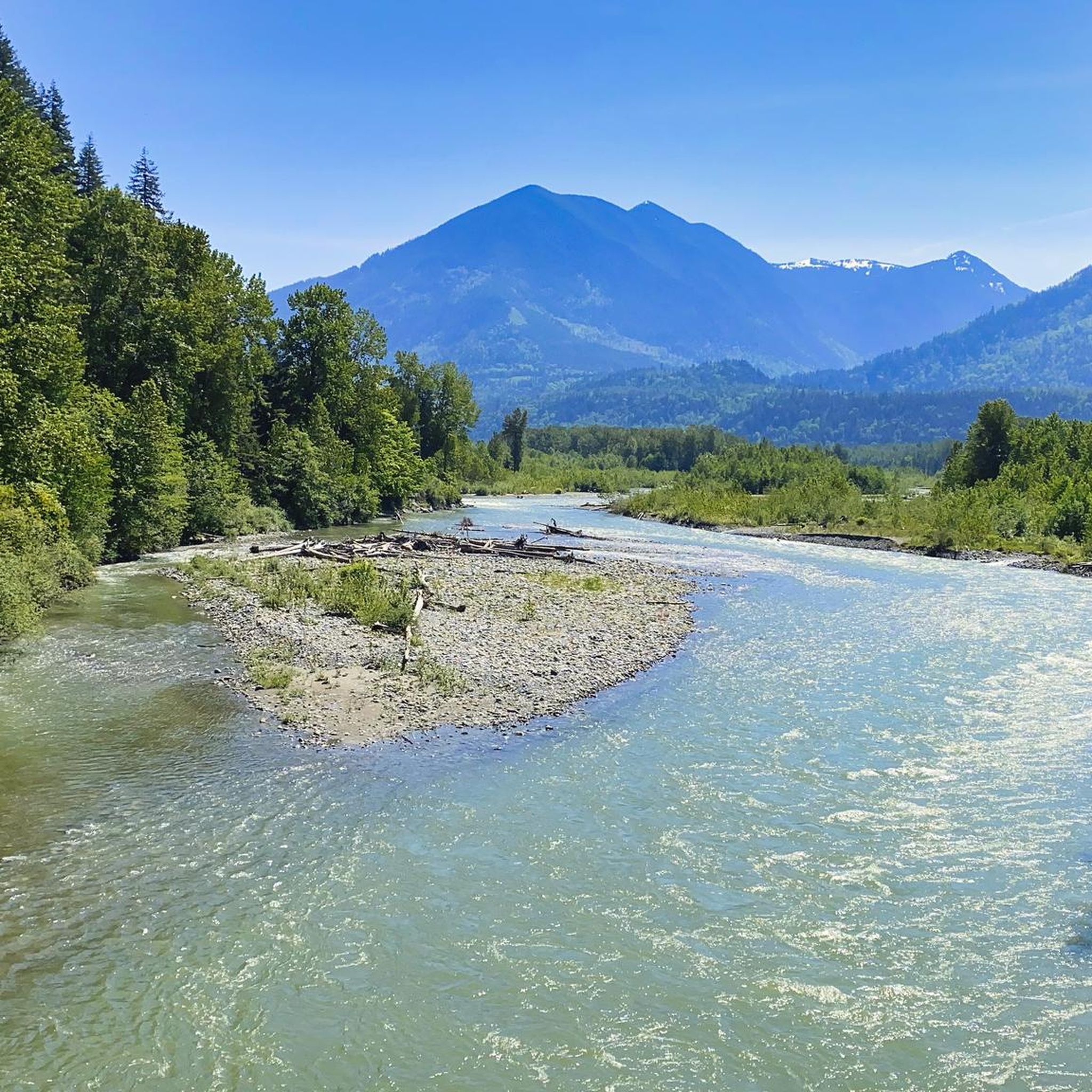
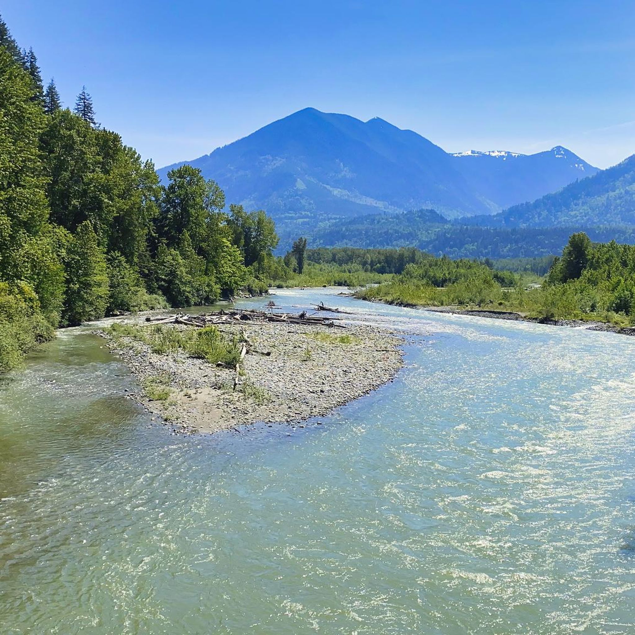
The Vedder River flows along the southern edge of Chilliwack, beginning at Cultus Lake and running northwest until it joins the Fraser River. The river is famous for salmon fishing during fall salmon runs. Besides fishing, visitors like to swim, tube, kayak, and raft.
0
0
Frequently Asked Questions
Are there easy running routes suitable for beginners in Hillkeep Regional Park?
Yes, Hillkeep Regional Park offers routes suitable for various fitness levels, including easy options. The terrain is generally flat with low elevation changes, making it accessible for beginners. While most routes are moderate, you can find paths that provide a gentle introduction to running in the park.
What are the typical distances for running trails in Hillkeep Regional Park?
The running trails in Hillkeep Regional Park vary in length. For example, the Running loop from Peach Creek Spawning Channels is 5.3 miles (8.5 km), while the Blue Heron Reserve loop from Peach Creek Spawning Channels extends to 6.4 miles (10.3 km). You'll find a range of distances to suit different training goals.
Are there any challenging running trails for experienced runners in Hillkeep Regional Park?
While Hillkeep Regional Park is known for its generally flat and accessible terrain, there are routes classified as 'difficult' within the park's network. These trails might offer slightly longer distances or more varied surfaces, providing a good challenge for experienced runners looking to push their limits. Overall, there are 7 routes rated as difficult.
Can I bring my dog on the running trails in Hillkeep Regional Park?
Hillkeep Regional Park is generally dog-friendly, but it's always best to check specific park regulations or signage on individual trails regarding leash requirements and restricted areas. Many of the creek-side paths are popular with dog owners, offering a great environment for you and your canine companion to enjoy a run together.
Are the running routes in Hillkeep Regional Park suitable for families?
Yes, the low elevation changes and accessible nature of many paths make Hillkeep Regional Park suitable for family runs. Routes that follow creek-side paths and loop around natural reserves, such as those near the Peach Creek Spawning Channels, are often enjoyed by families looking for a pleasant outdoor activity.
Are there circular running routes available in Hillkeep Regional Park?
Many of the running routes in Hillkeep Regional Park are designed as loops, offering convenient circular paths. For instance, the McFadden Pond – Peach Creek Spawning Channels loop is a popular circular option that takes you through diverse scenery without needing to retrace your steps.
What kind of scenery can I expect along the running routes in Hillkeep Regional Park?
Runners in Hillkeep Regional Park can expect scenic creek-side paths, views of ponds like McFadden Pond, and natural reserves such as the Blue Heron Reserve. The routes often wind through areas rich in local flora and fauna, providing a refreshing natural backdrop for your run.
Is there public transport access to the running trails in Hillkeep Regional Park?
While specific public transport stops vary, Hillkeep Regional Park is generally accessible. Many routes, like the Peach Creek Spawning Channels loop from Keith Wilson at Carter (WB), have starting points near main roads, which may be served by local bus routes. It's advisable to check local transit schedules for the most convenient access points.
Where can I park when visiting Hillkeep Regional Park for a run?
Parking is typically available at various access points around Hillkeep Regional Park. Many routes, such as the Running loop from Keith Wilson Rd at Lindys Dr (WB), start from locations that offer designated parking areas, often near main roads or residential access points. Look for signs indicating public parking.
What do other runners say about the trails in Hillkeep Regional Park?
The running trails in Hillkeep Regional Park are highly regarded by the komoot community, holding an average rating of 4.9 stars from over 30 reviews. Runners frequently praise the park's accessible, generally flat terrain, and the pleasant creek-side and natural reserve scenery, making it a popular choice for a refreshing run.
Are there any less crowded running routes in Hillkeep Regional Park?
While some routes, like the Peach Creek Spawning Channels loop, are popular, Hillkeep Regional Park offers a network of trails. To find less crowded options, consider exploring routes slightly further from main access points or visiting during off-peak hours. The park's extensive network allows for varied experiences.
What is the best time of year to go running in Hillkeep Regional Park?
Hillkeep Regional Park's trails are generally enjoyable year-round due to the low elevation changes. Spring and fall offer pleasant temperatures and vibrant natural scenery. Even in winter, the relatively flat paths can be suitable for running, though conditions may vary, so checking local weather is always recommended.
Most popular routes in Hillkeep Regional Park

Get inspired with the komoot mobile app


Explore more
Browse the best Running Trails & Routes in other regions.
