The best road cycling routes in Tamar Valley Aonb
4.4
(169)
11,557
riders
82
rides
Road cycling in Tamar Valley AONB offers routes through steep, wooded river valleys carved by the River Tamar and its tributaries. The terrain features a mix of rolling hills and more challenging ascents, reflecting the region's mining heritage. Cyclists can explore areas with visible remnants of 18th and 19th-century copper and tin mining operations. This landscape provides varied surfaces and elevation changes suitable for different road cycling preferences.
Best road cycling routes in Tamar Valley Aonb
- The most popular road…
Last updated: May 23, 2026
4
riders
40.8km
02:44
1,000m
1,000m
Hard road ride. Very good fitness required. Mostly well-paved surfaces and easy to ride.
5.0
(9)
488
riders
Moderate road ride. Good fitness required. Some segments of this route may be unpaved and difficult to ride.

Sign up for free
105
riders
43.4km
02:23
800m
800m
Moderate road ride. Good fitness required. Mostly well-paved surfaces and easy to ride.
37
riders
49.8km
02:16
510m
510m
Moderate road ride. Good fitness required. Mostly well-paved surfaces and easy to ride.
35
riders
47.0km
02:19
610m
610m
Moderate road ride. Good fitness required. Some segments of this route may be unpaved and difficult to ride.
Get access to more routes and recommendations from other explorers.
Sign up for free
Already have an account?
Our route recommendations are based on thousands of hikes, rides, and runs completed by other people on komoot.
Start today with a free account
Your next adventure awaits.
Login or Signup

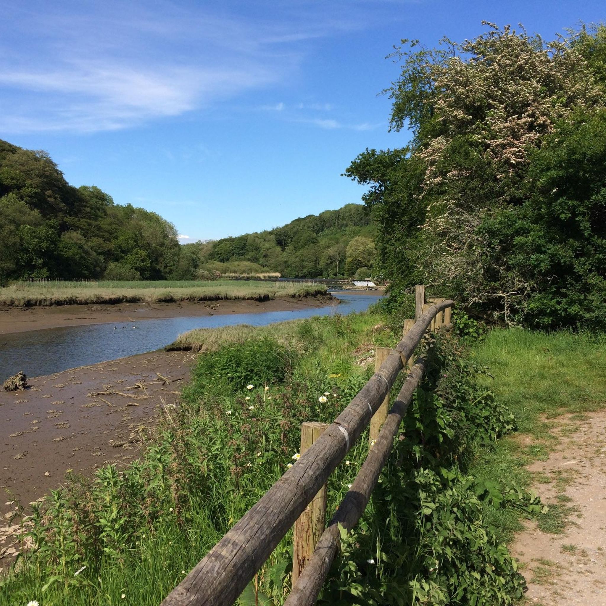
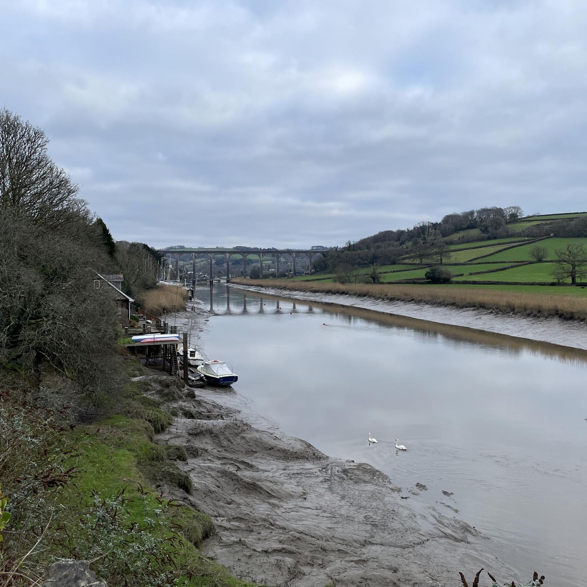
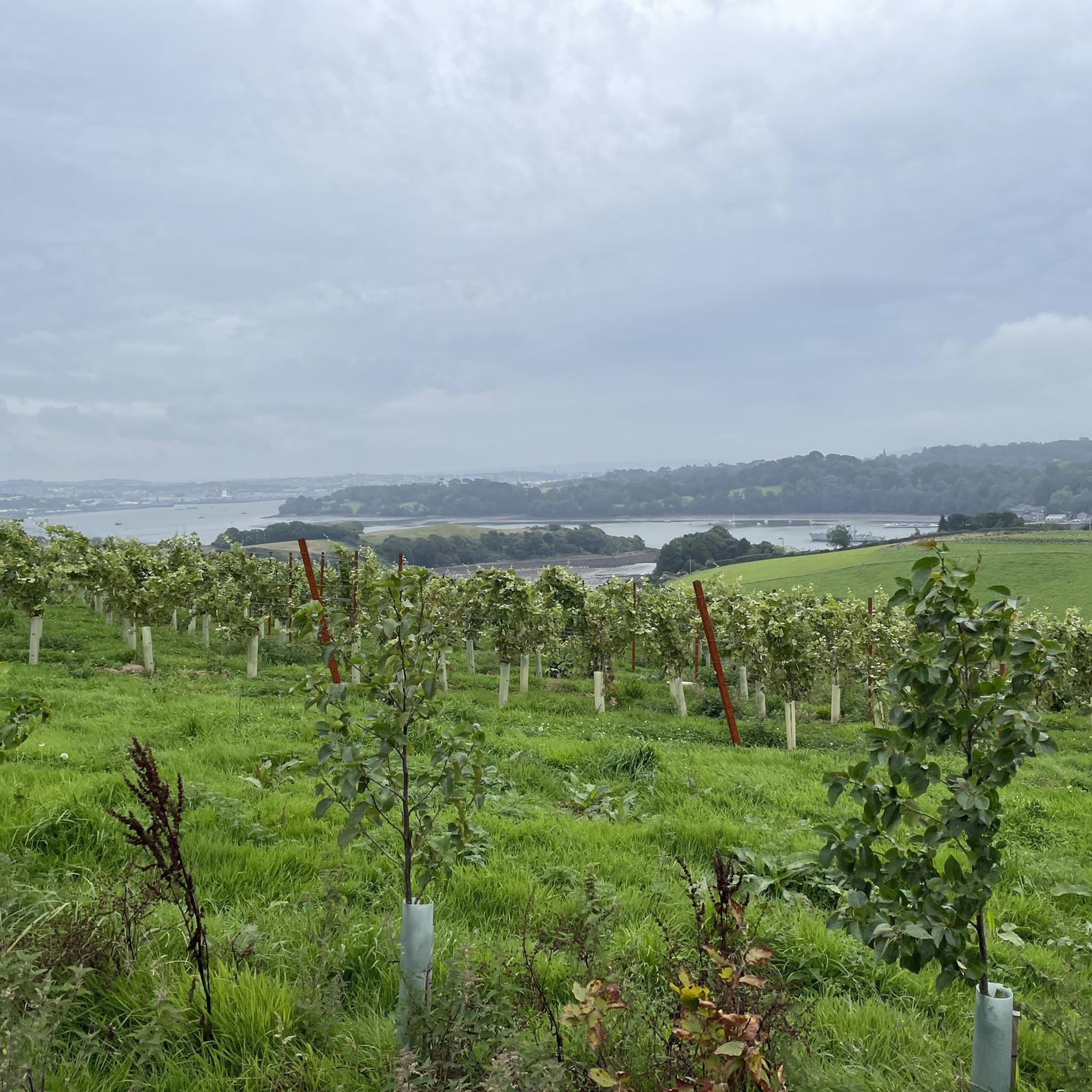
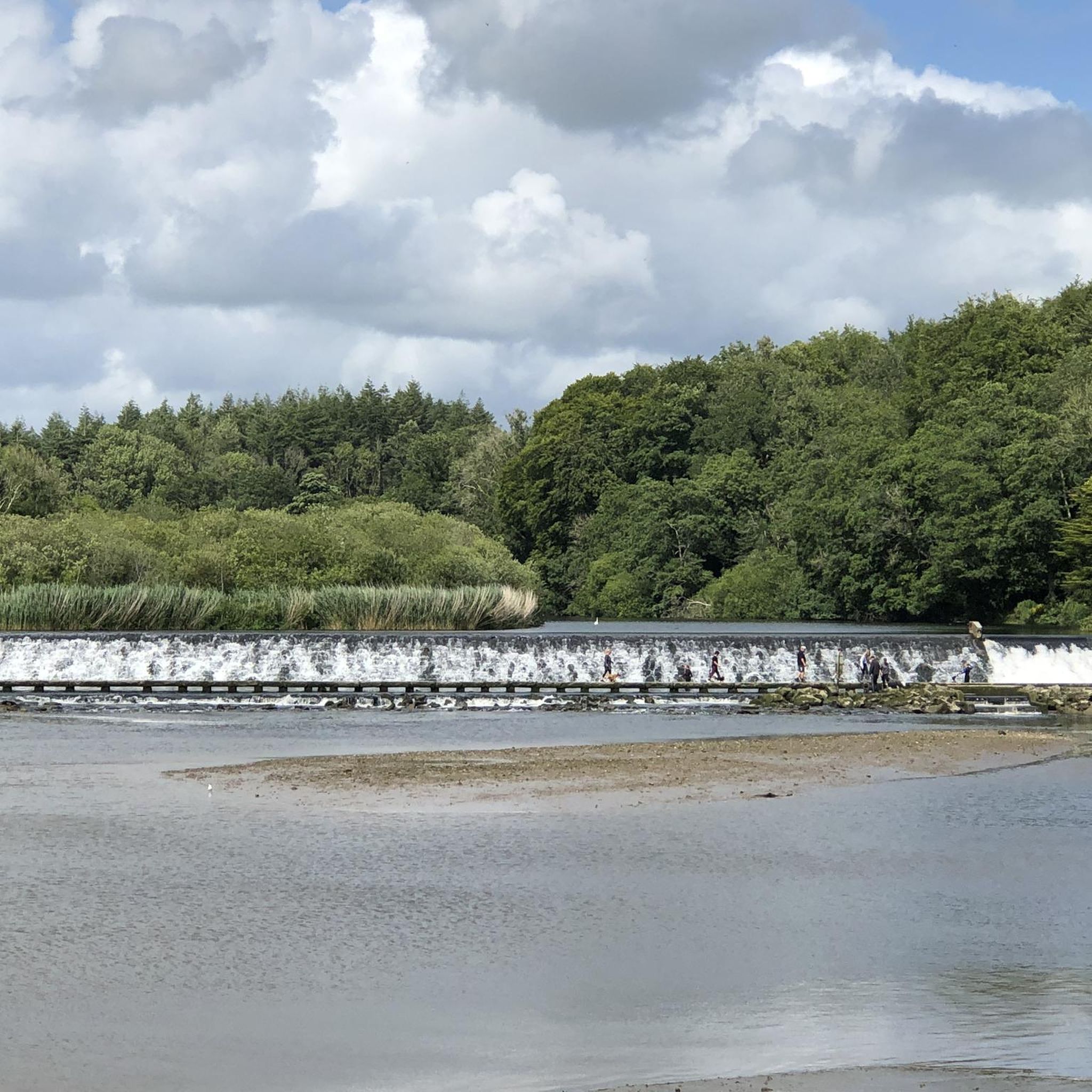
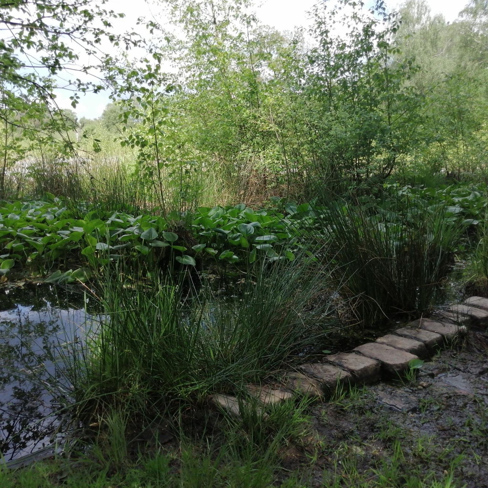
Other adventures in Tamar Valley Aonb

Tips from the Community

Take your sunglasses off before riding into the tunnel, you'll go blind quickly in there.
0
0

Low light through the tunnel to protect the bats, but good surface and easy to see. Turn your lights on if you have them.
0
0

Tiny park with nice clean bench to enjoy fish & chips from Codfather or other snack of your choice. Clean public loo nearby (limited opening hours, shuts 7pm I think) and what seems a nice (though unvisited) pub is adjacent.
0
0
Spectacular bridge, very safe to cross by bike or on foot. At least when there is not a crosswind nor too many other users
0
0

Frequently Asked Questions
How many road cycling routes are available in Tamar Valley Aonb?
There are over 80 road cycling routes in the Tamar Valley Aonb, catering to various skill levels. You'll find a mix of moderate and difficult options, with a few easier routes for a more relaxed ride.
What kind of terrain can I expect when road cycling in Tamar Valley Aonb?
The Tamar Valley Aonb features a diverse terrain characterized by steep, wooded river valleys carved by the River Tamar and its tributaries. Cyclists will encounter rolling hills and more challenging ascents, reflecting the region's mining heritage. Many routes utilize quiet lanes and historic tracks, offering a peaceful riding experience.
Are there any easy road cycling routes for beginners or families?
While many routes in the Tamar Valley Aonb are moderate to difficult, there are a couple of easier options available. These routes often follow more gentle gradients, allowing for a more relaxed pace suitable for beginners or families looking for a less strenuous ride.
What historical landmarks or natural features can I see along the road cycling routes?
The Tamar Valley Aonb is rich in history and natural beauty. Along your rides, you might encounter sites like the ruins of the Wheal Anna Maria Calciner Complex, a reminder of the region's mining past. You can also visit Cotehele Quay, a historic port, or enjoy the serene beauty of Double Waters, where the Rivers Walkham and Tavy meet. The prominent Kit Hill Trig Point offers panoramic views across the valley.
Are there any routes that offer coastal views or pass by the sea?
Yes, the "View of the Rame Peninsula – Whitsand Bay loop from St Germans" is a moderate route that provides stunning views of the Rame Peninsula and coastal scenery along Whitsand Bay.
What is the best time of year to go road cycling in Tamar Valley Aonb?
The Tamar Valley Aonb offers beautiful scenery year-round. Spring and autumn provide pleasant temperatures and vibrant landscapes, with fewer crowds. Summer is also popular, but routes can be busier. Always check local weather conditions before heading out, especially during wetter months, as some paths may be affected.
Where can I find parking for road cycling routes in the Tamar Valley Aonb?
Many villages and popular starting points within the Tamar Valley Aonb offer parking facilities. For example, routes often start from locations like Calstock or Gunnislake, where you can typically find parking. It's advisable to check specific route details on komoot for recommended starting points and parking information.
Are there any circular road cycling routes in the area?
Yes, many of the road cycling routes in Tamar Valley Aonb are designed as loops. For instance, the "Cotehele Quay & Horsebridge loop from Calstock — Tamar Valley" and the "Lewannick Turnaround loop from Gunnislake" are popular circular options, allowing you to start and finish at the same point.
What do other road cyclists enjoy most about cycling in Tamar Valley Aonb?
The komoot community rates road cycling in Tamar Valley Aonb highly, with an average score of 4.5 stars. Cyclists frequently praise the exceptional scenery, the blend of historic landscapes with natural beauty, and the variety of routes that cater to different fitness levels, from challenging climbs to more moderate rides through charming villages.
Are there any challenging routes for experienced road cyclists?
Absolutely. The Tamar Valley Aonb is known for its challenging ascents and varied terrain. Routes like the "Cotehele Quay & Horsebridge loop from Calstock — Tamar Valley" are classified as difficult, featuring significant elevation gains of over 1000 meters, providing a rewarding challenge for experienced riders.
Can I access the Tamar Valley Aonb by public transport for cycling?
Public transport options, such as local bus services and train lines (like the Tamar Valley Line), serve some of the towns and villages within or on the edge of the Aonb. These can provide access to various starting points for your road cycling adventures. It's recommended to check specific timetables and bike carriage policies with the transport providers.
Most popular routes in Tamar Valley Aonb
Most popular attractions in Tamar Valley Aonb

Get inspired with the komoot mobile app


Explore more
Browse the best Road cycling routes in other regions.
