Lincolnshire Wolds Aonb
Lincolnshire Wolds Aonb
The best running trails in Lincolnshire Wolds Aonb
4.3
(11)
1,054
runners
124
runs
Jogging in Lincolnshire Wolds AONB offers diverse terrain across rolling chalk uplands, steep-sided dry valleys, and areas of woodland and grassland. The region features elevations rising over 150 meters along its western edge, providing varied conditions for runners. Clear chalk streams and ancient woodlands contribute to the natural environment experienced during a run. This landscape, shaped by glacial erosion, presents both scenic beauty and varied running challenges.
Best jogging routes in Lincolnshire Wolds Aonb
- The most popular jogging route is Scallows Hall Plantation loop from Wold Newton, a 5.5 miles (8.8 km) trail that takes about 55 minutes to complete. This moderate route navigates through local plantations and open countryside.
- Another top favourite among local runners is The Clickem Inn – All Saints Church, Wold Newton loop from Thorganby CP, a moderate 5.9 miles (9.5 km) path. This route offers views of rural landscapes and local landmarks.
- Local runners also love the Waithe Beck Downhill Trails – Croxby Top View loop from Swinhope CP, a 6.9 miles (11.1 km) trail leading through varied terrain including downhill sections and viewpoints, often completed in about 1 hour 15 minutes.
- Jogging in Lincolnshire Wolds AONB is defined by rolling chalk uplands, dry valleys, and extensive woodlands. The network of routes offers options for different ability levels, from easy paths to more challenging runs with significant elevation gain.
- The routes in Lincolnshire Wolds AONB are highly rated by the komoot community with an average score of 4.4 stars from over 10 reviews. More than 1000 runners have used komoot to explore Lincolnshire Wolds AONB's varied terrain.
Last updated: September 30, 2026
55
runners
8.79km
00:55
60m
60m
Moderate run. Good fitness required. Mostly paved surfaces. Suitable for all skill levels.
57
runners
9.48km
01:00
70m
70m
Moderate run. Good fitness required. Mostly paved surfaces. Suitable for all skill levels.

5.0
(1)
45
runners
11.1km
01:14
120m
120m
Moderate run. Good fitness required. Mostly paved surfaces. Suitable for all skill levels.
49
runners
20.7km
02:12
220m
220m
Hard run. Very good fitness required. Mostly paved surfaces. Suitable for all skill levels.
47
runners
16.1km
01:42
160m
160m
Hard run. Very good fitness required. Mostly paved surfaces. Suitable for all skill levels.
Get access to more routes and recommendations from other explorers.
Already have an account?
Our route recommendations are based on thousands of hikes, rides, and runs completed by other people on komoot.
Start today with a free account
Your next adventure awaits.
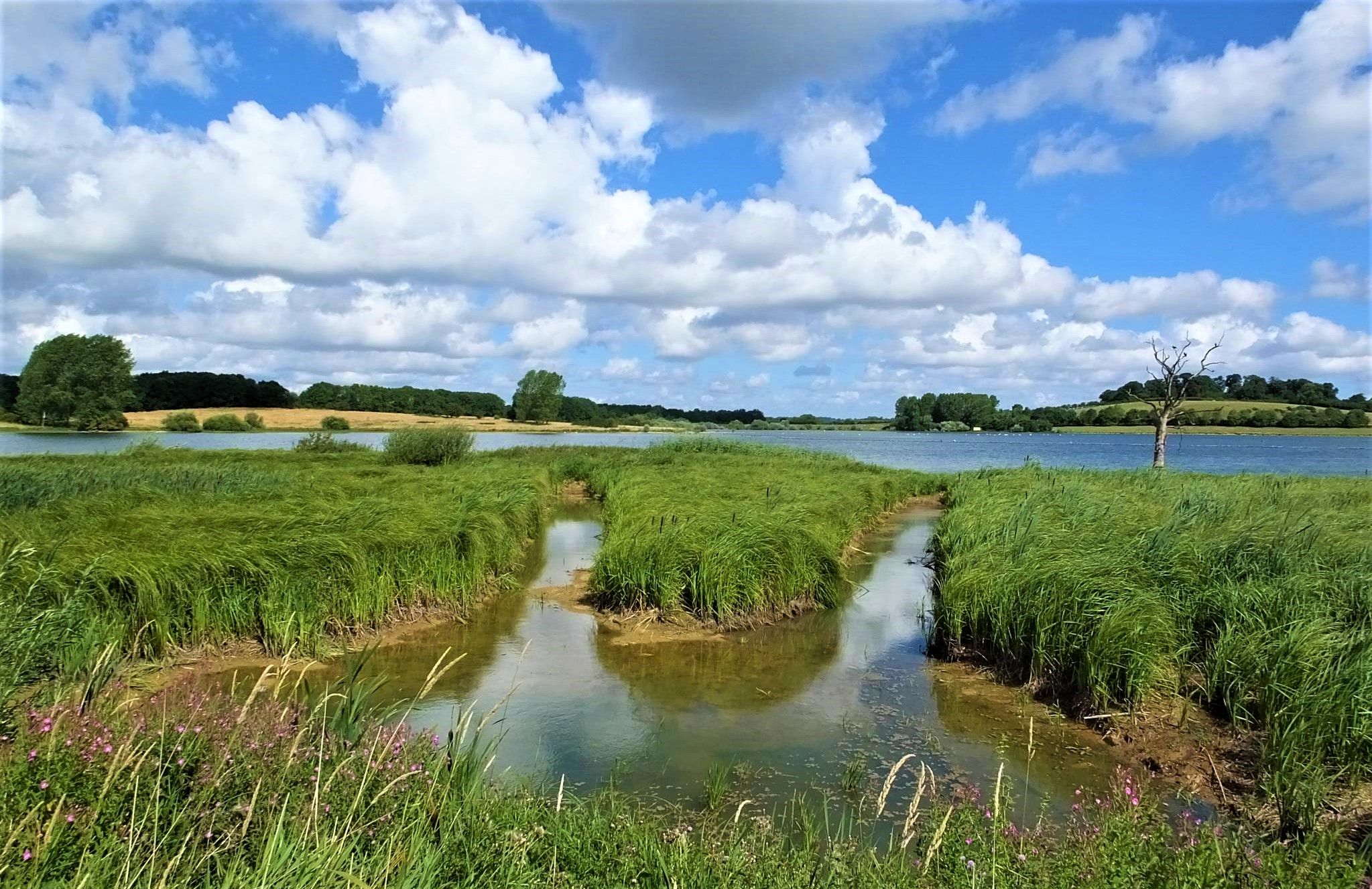
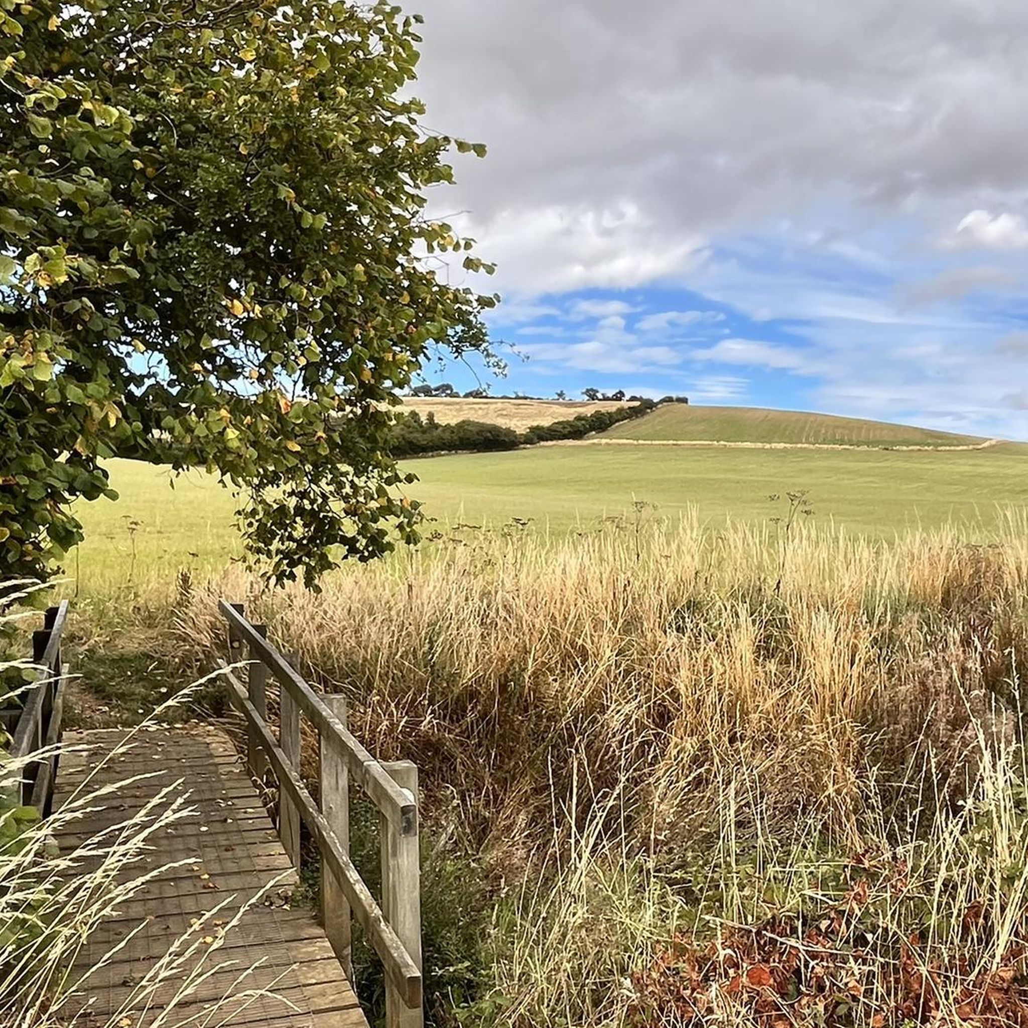
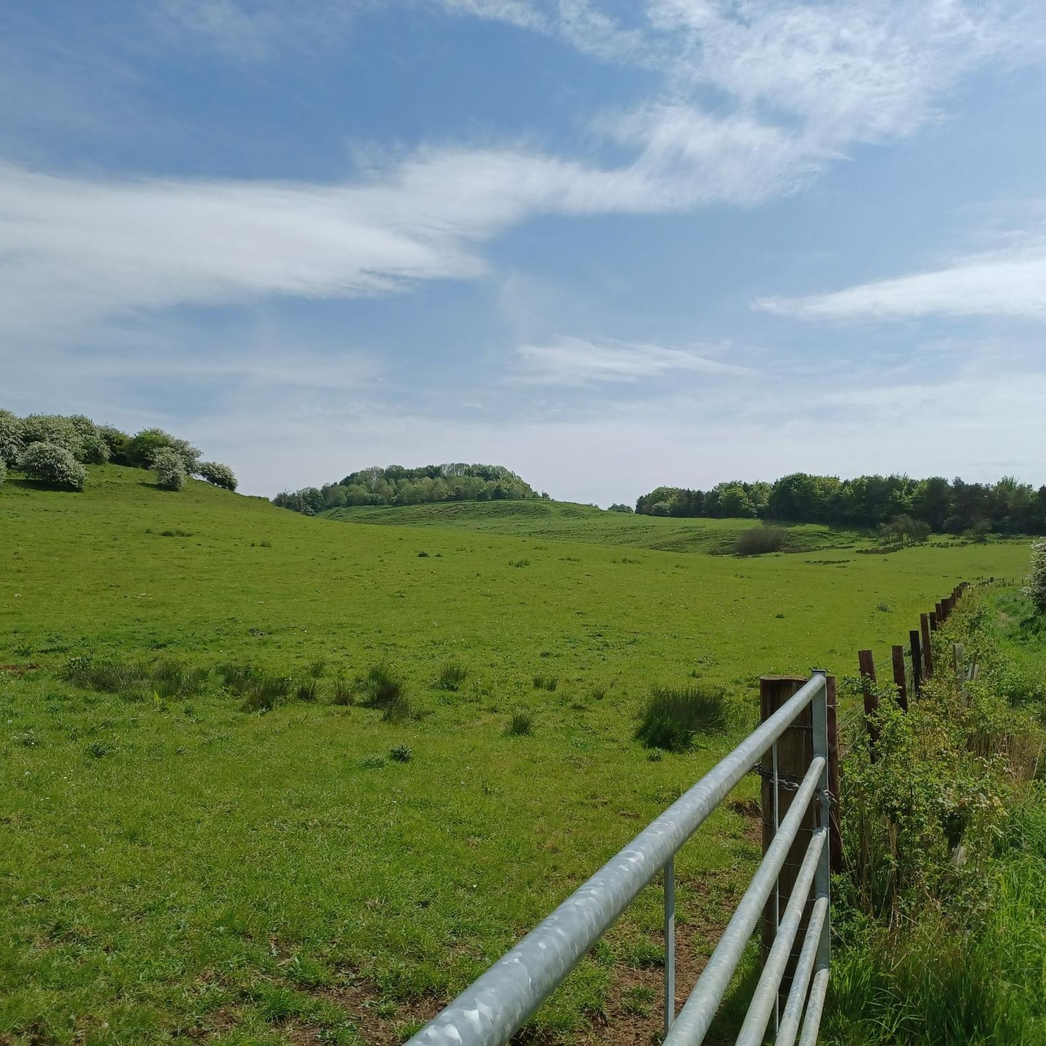
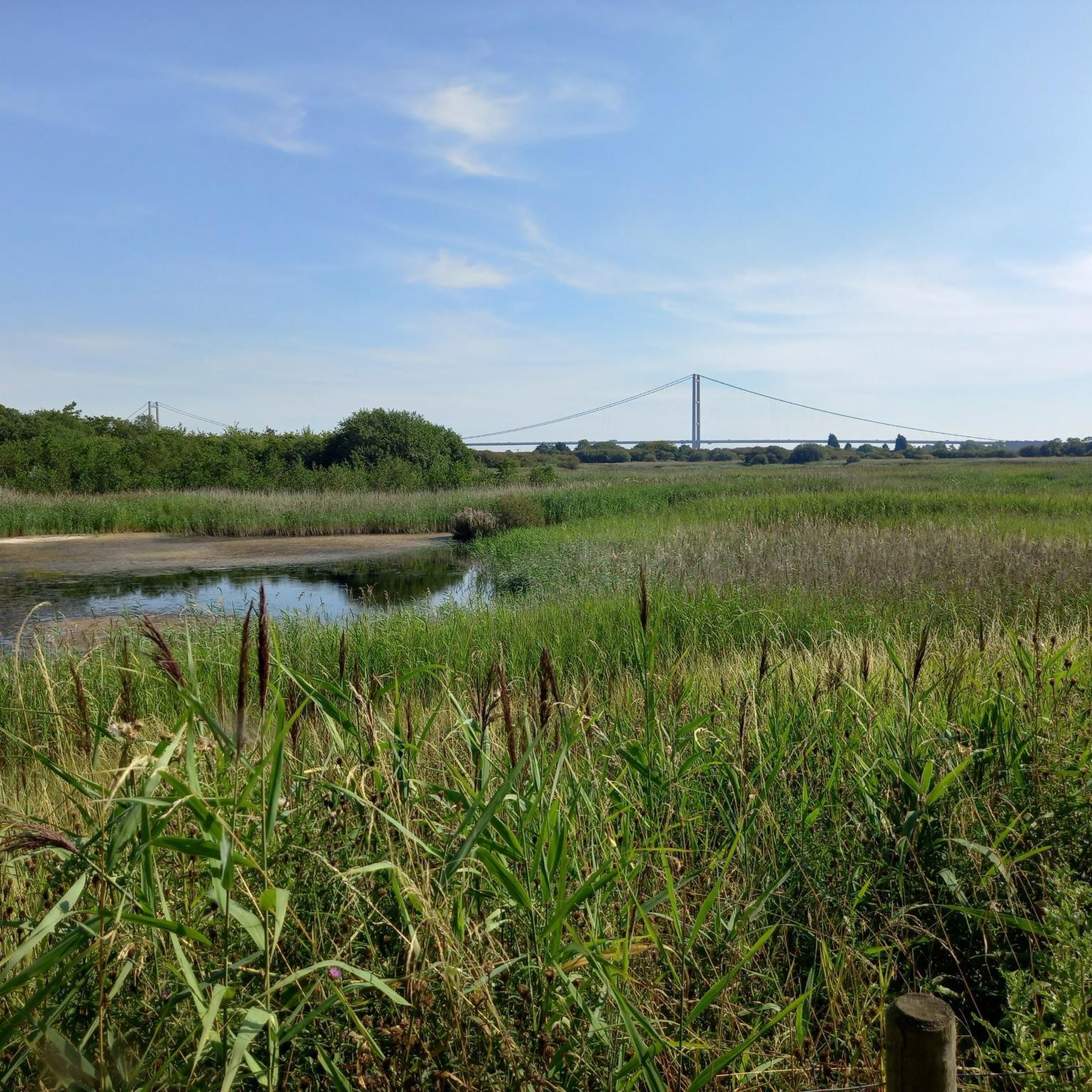

Other adventures in Lincolnshire Wolds Aonb

Tips from the Community

The track is rutted, workmen making a new bridge crossing.
0
0

Can be very wet and boggy on the section by the woods. Also sometimes the farmer has long horn cattel in the field you pass by.
0
0
A short sharpe steep hill down into the valley & up the otherside.
0
0

lovely little pub, which is cyclist friendly with delicious food. 10 out of 10.
0
0

The All Hallows Church is a beautiful 12th century building located in the hamlet of Wold Newton. It boasts wonderful architectural features as well as gorgeous stained-glass windows and intricate stone carvings.
1
0

There is a pond somewhere to the right but I couldn't find any access.
0
0
Frequently Asked Questions
How many running routes are available in the Lincolnshire Wolds AONB?
The Lincolnshire Wolds AONB offers a wide selection of running trails, with over 130 routes available on komoot. These range from easy paths to more challenging runs, catering to various fitness levels.
What kind of terrain and difficulty can I expect on running trails in the Lincolnshire Wolds AONB?
The region is characterized by its 'stunning rolling hills and immaculate scenery,' featuring rolling chalk uplands, steep-sided dry valleys, and areas of woodland and grassland. You'll find a mix of terrain, from clear chalk streams to elevated sections. Most routes are moderate (over 100), with some easier options (5) and more difficult trails (26) that include significant elevation gain.
Are there any easy or beginner-friendly jogging routes in the Lincolnshire Wolds AONB?
Yes, there are several easy routes suitable for beginners or those looking for a less strenuous run. While the majority are moderate, komoot lists 5 easy routes. These typically feature gentler gradients and well-maintained paths, allowing you to enjoy the scenery without excessive challenge.
Can I find challenging trail runs with significant elevation in the Lincolnshire Wolds AONB?
Absolutely. The Lincolnshire Wolds AONB contains the highest ground in eastern England between Yorkshire and Kent, with elevations rising over 150 meters along its western edge. There are 26 difficult routes available on komoot, such as the Croxby Top View – Waithe Beck Downhill Trails loop from Hatcliffe, which features over 217 meters of ascent over 20.7 km, offering a rewarding challenge for experienced trail runners.
What are some scenic viewpoints or natural features I can see while running in the Lincolnshire Wolds AONB?
The Wolds are rich in natural beauty. You can enjoy views from View of the Lincolnshire Wolds Between Walesby and Claxby or the general View of the Lincolnshire Wolds. Other notable natural features include the picturesque Hubbard's Hills near Louth, and the Red Hill Nature Reserve, a chalk escarpment with wildflower meadows.
Are there any circular running routes in the Lincolnshire Wolds AONB?
Yes, many of the running routes in the Lincolnshire Wolds AONB are circular, allowing you to start and finish at the same point. For example, the popular Scallows Hall Plantation loop from Wold Newton is a moderate 8.8 km circular trail, and the Waithe Beck Downhill Trails – Croxby Top View loop from Swinhope CP is an 11.1 km loop with varied terrain.
What do other runners enjoy most about jogging in the Lincolnshire Wolds AONB?
The running trails in the Lincolnshire Wolds AONB are highly rated by the komoot community, with an average score of 4.4 stars from over 10 reviews. Runners frequently praise the 'unspoilt scenery,' varied topography, and the peaceful atmosphere that makes it an ideal destination for a quiet escape amidst nature.
Are there any family-friendly running trails in the Lincolnshire Wolds AONB?
While specific 'family-friendly' designations aren't always explicit, many of the easier and moderate routes with less elevation gain would be suitable for families. Look for trails that are shorter in distance and have smoother paths, often found in the woodland or grassland areas, to ensure an enjoyable experience for all.
Are dogs allowed on the running routes in the Lincolnshire Wolds AONB?
Generally, dogs are welcome on public footpaths and bridleways throughout the Lincolnshire Wolds AONB. However, it's always best to keep dogs on a lead, especially near livestock or in nature reserves like Red Hill Nature Reserve, to protect wildlife and ensure a pleasant experience for everyone. Always check local signage for specific restrictions.
What is the best time of year to go running in the Lincolnshire Wolds AONB?
The Lincolnshire Wolds AONB offers beautiful running conditions throughout the year. Spring brings blooming wildflowers, while autumn showcases vibrant foliage. Summer provides longer daylight hours, and even winter runs can be picturesque, especially on crisp, clear days. Always check weather conditions before heading out, as some off-road sections can become muddy after rain.
Are there any historical or cultural landmarks to see along the running routes?
Yes, the region has several points of interest. You might encounter historic churches like St Helen's Church or the charming Belchford Village and Bluebell Inn. Some routes may also pass by remnants of the area's industrial past, such as the Nettleton Mine Entrance.
Where can I find parking for running trails in the Lincolnshire Wolds AONB?
Many running routes in the Lincolnshire Wolds AONB start from villages or designated car parks. For instance, the The Clickem Inn – All Saints Church, Wold Newton loop starts from Thorganby CP (Car Park), and the Waithe Beck Downhill Trails – Croxby Top View loop begins from Swinhope CP. Always check the route details on komoot for specific parking information.
Most popular routes in Lincolnshire Wolds Aonb
Most popular attractions in Lincolnshire Wolds Aonb

Get inspired with the komoot mobile app


Explore more
Browse the best Running Trails & Routes in other regions.
