The best walks and hikes in Lincolnshire Wolds Aonb
4.5
(818)
4,290
hikers
225
hikes
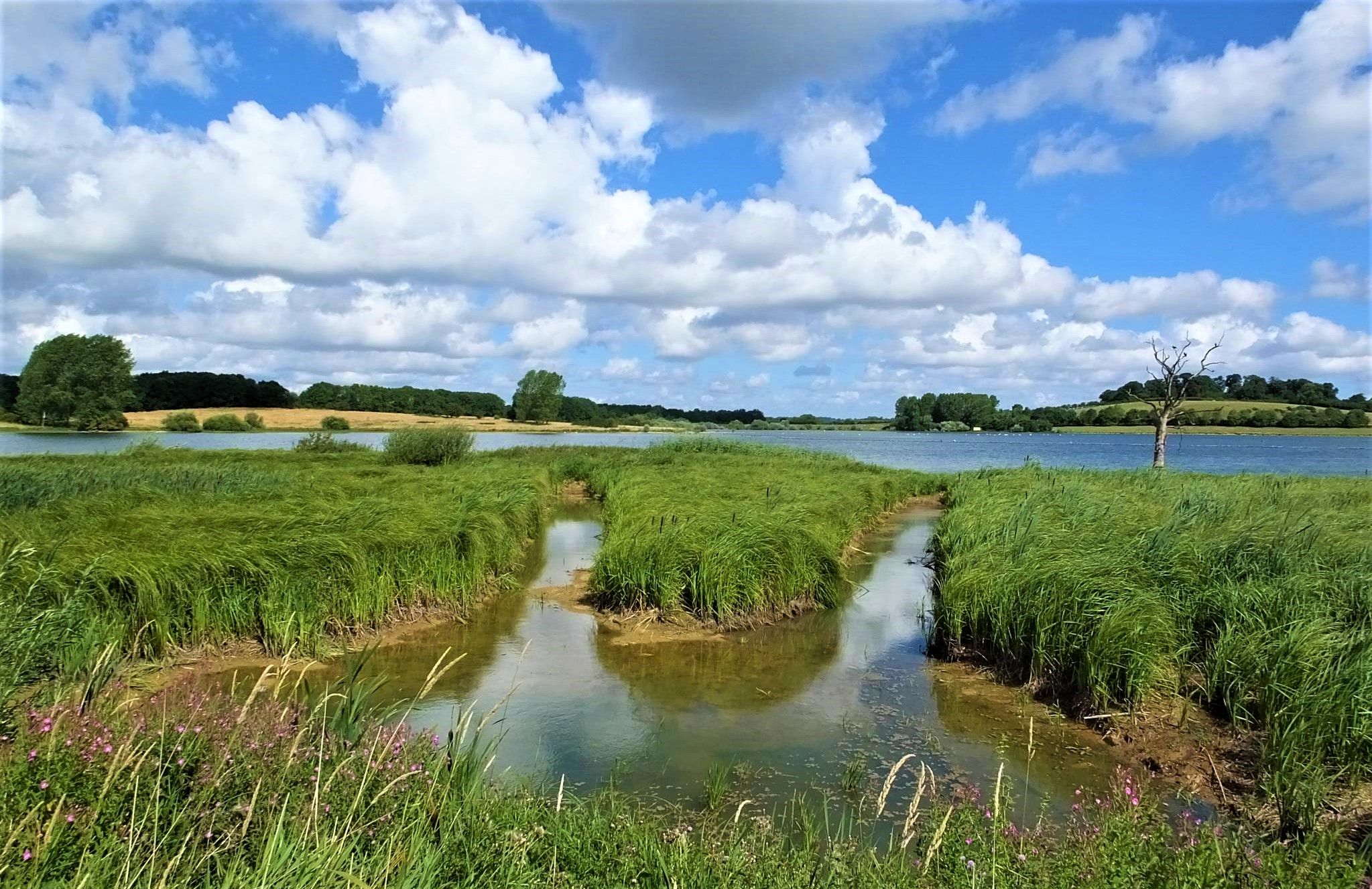
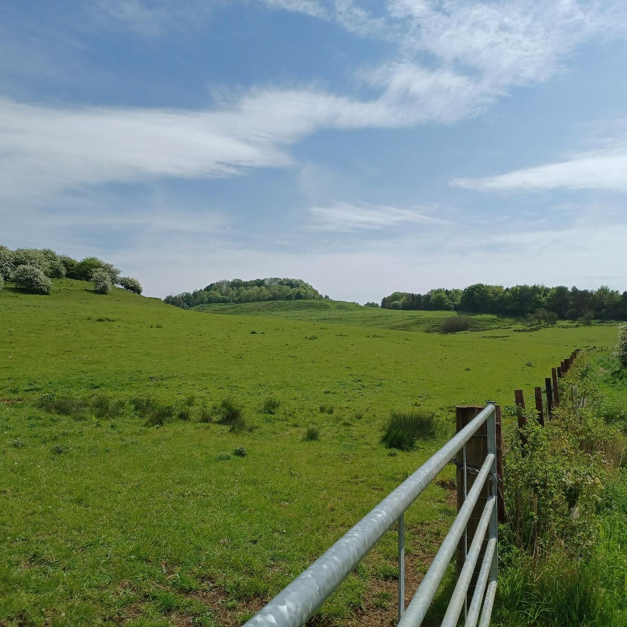
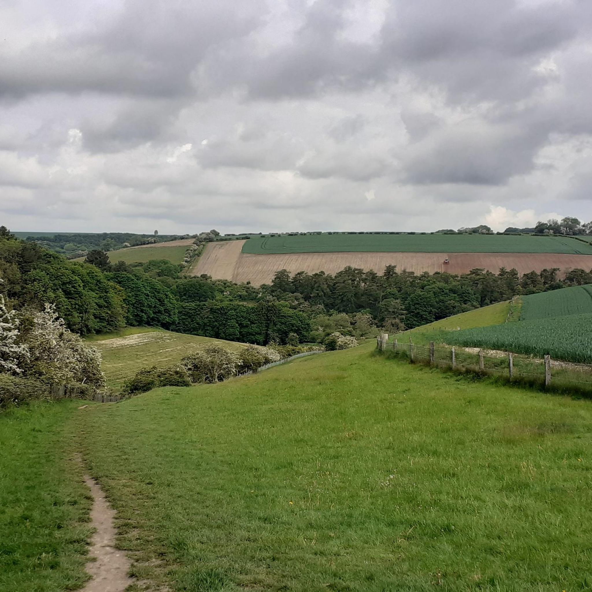
Hikes in Lincolnshire Wolds AONB explore a landscape of rolling chalk hills, steep-sided valleys, and expansive plateaus. This Area of Outstanding Natural Beauty contains the highest ground in eastern England, characterized by a patchwork of woodland and open fields. The region is crossed by a network of rivers, including the Bain and Lymn, which carve routes through the chalk geology.
Best hiking trails in Lincolnshire Wolds Aonb
- The most popular hiking route is The Wolds and Bain loop — Lincolnshire Wolds, a 6.9 mile (11.2 km) trail that takes about 2 hours 55 minutes to complete. This moderate route follows the River Bain before looping back through the open wolds.
- Another top favourite among local hiking enthusiasts is Nettleton Mine & Rothwell loop — Lincolnshire Wolds, a moderate 9.8 mile (15.8 km) path. The route features some of the area's more significant elevation changes and passes through varied terrain.
- Local hiking enthusiasts also love the Walesby & Tealby loop — Lincolnshire Wolds, a 5.1 mile (8.2 km) trail leading through sections of the Viking Way, often completed in about 2 hours 10 minutes.
- Hiking in Lincolnshire Wolds AONB is defined by its rolling chalk hills, quiet river valleys, and sections of long-distance footpaths like the Viking Way. The network of trails offers a good balance of easy, moderate, and more demanding paths for different ability levels.
- The routes in Lincolnshire Wolds Aonb are highly rated by the komoot community with an average score of 4.5 stars from over 600 reviews. More than 3,500 hikers have used komoot to explore Lincolnshire Wolds Aonb's varied terrain.
Last updated: September 27, 2026
4.7
(34)
120
hikers
11.2km
02:57
100m
100m
Embark on The Wolds and Bain loop, a moderate hike through the unspoiled beauty of the Lincolnshire Wolds. This route spans 6.9 miles (11.2 km) and involves a gentle ascent of 318 feet (97 metres), taking approximately 2 hours and 56 minutes to complete. You will experience rolling chalk hills, open fields, and gentle streams, with the trail closely following the River Bain. Look out for a dammed section of the river as you make your way through the serene landscape. The path also climbs into the open wolds, offering expansive "big skies" across the county.
To begin your hike, you will find parking generally available in the Donington on Bain area, which offers easy access to the trailhead. The route combines natural unpaved paths with sections on roads, so be ready for varied surfaces underfoot. It is wise to prepare for potentially wet and muddy conditions, especially during certain seasons, to ensure a comfortable journey. Always check local weather forecasts before you set out.
Beyond the natural beauty, the trail offers a glimpse into local heritage as you pass by historical sites like the 12th-century St Andrew’s Church in Donington on Bain. This loop is a perfect way to immerse yourself in the tranquil atmosphere of the Lincolnshire Wolds, combining picturesque river views with open landscapes. It provides a rewarding outdoor experience for those seeking a moderate adventure in the English countryside.
4.7
(32)
138
hikers
15.8km
04:15
210m
210m
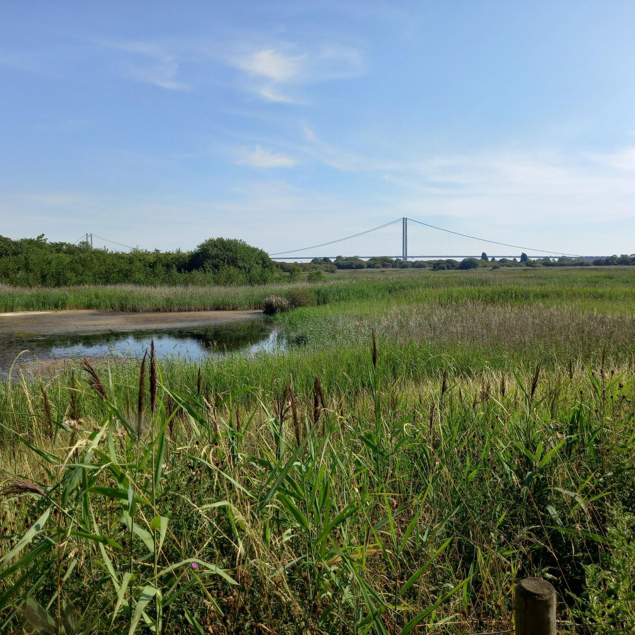
Embark on the Nettleton Mine & Rothwell loop, a moderate hike spanning 9.8 miles (15.8 km) with an elevation gain of 678 feet (207 metres), typically taking around 4 hours and 15 minutes to complete. You will traverse varied terrain, including rolling hills, agricultural fields, and woodlands, with sections of field paths, farm tracks, and minor roads. From Nettleton Top, the highest point in Lincolnshire, you can enjoy expansive views across the open countryside, sometimes reaching Lincoln Cathedral and the Humber Bridge on a clear day. The route also guides you through charming villages like Rothwell, known for its historic church and quaint cottages, and the picturesque Nettleton Beck valley.
This trail is best suited for hikers with good fitness, as some sections require sure-footedness despite generally accessible paths. Be prepared for potentially muddy conditions, especially after rain or in areas frequented by cattle, as parts of the trail, particularly along Nettleton Beck, can become very wet. Planning your visit for drier periods will enhance your experience on this diverse route.
The Nettleton Mine & Rothwell loop offers a unique blend of natural beauty and industrial history. You will encounter remnants of the area's ironstone mining past, such as bricked-up tunnel entrances, which tell the story of a once-thriving industry that ceased in 1968. A significant portion of your journey follows the historic Viking Way, adding a layer of heritage to your hike, and you might spot diverse wildlife, from marsh-marigolds by streams to frogs, newts, and even herons in local ponds.

4.6
(34)
127
hikers
8.21km
02:12
90m
90m
Embark on the Walesby & Tealby loop, a moderate 5.1-mile (8.2 km) hike through the scenic Lincolnshire Wolds. This route features a varied terrain of forest tracks, field paths, and bridleways, with a surprising amount of uphill and downhill sections that showcase the region's rolling hills. You will gain about 304 feet (93 metres) in elevation over approximately 2 hours and 11 minutes, passing through picturesque villages like Tealby, often considered one of Lincolnshire's prettiest, with its charming limestone cottages. Keep an eye out for the historic All Saints Church in Walesby, known as the Rambler's Church, which offers excellent views from its churchyard.
Before you set out, be aware that some parts of the trail can be muddy, especially in the forest sections and near Walesby, so appropriate footwear is advisable. The path along the Viking Way, which forms part of this loop, has seen improvements with clearer signs and gates replacing many stiles, making navigation simpler. While the research does not specify trailhead access or parking details, planning your visit to these charming villages will likely provide convenient starting points for your adventure.
This loop offers memorable views, including extensive vistas from higher points on the wolds escarpment, where you might even glimpse Lincoln Cathedral's three towers up to 20 miles away. The trail follows sections of the historic Viking Way, recognizing the influence of Norse invaders. In Tealby, you can visit the 12th-century All Saints Church, built of local ironstone, or stop by the King's Head Inn, Lincolnshire's oldest thatched pub, dating back to 1367. You might also spot local wildlife like buzzards and kestrels, or observe Lincoln Longwools, a native rare breed of sheep.
4.5
(13)
110
hikers
10.3km
02:44
110m
110m
Moderate hike. Good fitness required. Mostly accessible paths. Sure-footedness required.
4.8
(28)
104
hikers
7.21km
01:56
80m
80m
Embark on the moderate Belchford loop via Juicetrummp Hill, a hike that spans 4.5 miles (7.2 km) with an elevation gain of 268 feet (82 metres). You can expect to complete this journey in about 1 hour and 55 minutes, enjoying expansive hilltop views across the rolling Lincolnshire Wolds. Look out for classic storybook scenes featuring fields, solitary farmhouses, and tranquil streams as you traverse the distinctive landscape.
Belchford Village serves as a convenient starting point for your adventure, offering parking options within the village. After your hike, you might consider visiting the traditional Blue Bell Inn for refreshments. While the paths are generally accessible, some sections can become muddy, so be sure to wear appropriate footwear to ensure a comfortable experience.
This route takes you through the heart of the Lincolnshire Wolds Area of Outstanding Natural Beauty, showcasing its unique charm. On clear days, you might even catch distant glimpses of iconic landmarks like Lincoln Cathedral or the preserved World War II mast at RAF Stenigot. The trail provides excellent vistas along the "shadow" of Juicetrummp Hill, highlighting the region's natural beauty.
Get access to more routes and recommendations from other explorers.
Already have an account?
Our route recommendations are based on thousands of hikes, rides, and runs completed by other people on komoot.
Start today with a free account
Your next adventure awaits.

Other adventures in Lincolnshire Wolds Aonb

Tips from the Community

Along the Viking Way trail sadly several have had graffiti added to them.
0
0


Well marked out paths along public walkways. Quiet little walk 😊
0
1


Frequently Asked Questions
What is the terrain like for hiking in the Lincolnshire Wolds?
The hiking terrain is defined by rolling chalk hills, the highest ground in eastern England. Expect a mix of open farmland, quiet valleys carved by gentle streams like the River Bain, and patches of woodland. The paths are generally well-maintained, consisting of grassy tracks, farm lanes, and country roads.
Are the walking routes in the Lincolnshire Wolds dog-friendly?
Yes, many trails in the Lincolnshire Wolds are suitable for walking with dogs. However, you will likely cross fields with livestock, so it's essential to keep your dog on a lead in these areas. Always check for local signage regarding dogs, especially in nature reserves or on private land.
What are some of the more challenging hikes in the region?
While the Wolds are not mountainous, they offer some surprisingly challenging climbs. The area has over 15 difficult-rated trails. For a route with significant elevation changes, consider the Wold Newton & Beesby Wood loop. Hikes along the steep Western Scarp also provide a good workout with rewarding panoramic views.
Are there any easy, family-friendly walks available?
Absolutely. There are over 70 easy-rated routes perfect for families. A popular area for a gentle stroll is Hubbard's Hills near Louth, a picturesque valley ideal for picnics and short walks. Many of the river-side paths also offer flat and accessible options for all ages.
Can I find a good circular walk in the Lincolnshire Wolds?
The region is excellent for circular walks, meaning you can start and finish in the same place without retracing your steps. A great example is the Belchford loop via Juicetrummp Hill, which showcases the classic rolling scenery of the Wolds over a moderate distance.
Are there any long-distance footpaths in the area?
Yes, the Lincolnshire Wolds are crossed by several notable long-distance trails. The most famous is the 147-mile Viking Way, which passes through the heart of the AONB. You can also explore sections of the Lincolnshire Wolds Way, a circular route designed to showcase the area's best scenery.
What do other hikers enjoy most about the Lincolnshire Wolds?
The area is highly regarded by the komoot community, with thousands of visitors sharing their experiences. Hikers frequently praise the peacefulness of the trails, the wide-open landscapes with expansive views, and the charming villages you pass through. The well-marked paths and variety of routes are also common highlights.
Where can I find the best views while hiking?
For some of the most dramatic panoramic views, head to the Western Scarp, a ridge that overlooks the surrounding plains. Red Hill Nature Reserve is another fantastic spot, offering spectacular views from its unique exposure of Red Chalk. The highest points in the Wolds, rising over 150 meters, provide far-reaching vistas across the landscape.
Can I combine a walk with a visit to a pub or cafe?
Definitely. Many walks start or pass through historic market towns and villages that have excellent pubs and tea rooms. Towns like Louth, known for its foodie scene, and Horncastle, famous for antiques, are great starting points. The village of Tealby also has popular pubs that are walker-friendly.
Is it easy to find parking for walks in the Lincolnshire Wolds?
Most popular walks start from towns and villages like Louth, Caistor, Horncastle, or Market Rasen, which have public car parks. Many smaller villages also have on-street parking, but be sure to park considerately. For specific country parks or nature reserves like Snipe Dales, there are often designated pay-and-display car parks.
Are there any walks with particular historical interest?
The landscape is rich with history. You can find trails that take you past ancient burial mounds (tumuli) and the sites of deserted medieval villages. The market town of Caistor, a former Roman town, has over 50 listed buildings and makes a great base for a historical walk. The Viking Way footpath itself follows a route of historical significance.
How many hiking trails are there in the Lincolnshire Wolds AONB?
There are over 230 designated hiking routes to explore in the Lincolnshire Wolds AONB. These range from short, easy strolls of just a few kilometers to challenging all-day treks, ensuring there's a trail for every fitness level and interest.
Most popular routes in Lincolnshire Wolds Aonb
Most popular attractions in Lincolnshire Wolds Aonb

Get inspired with the komoot mobile app


Explore more
Browse the best Hikes in other regions.
