The best cycling routes in Kanaka Creek Regional Park
4.3
(192)
887
riders
29
rides
Touring cycling in Kanaka Creek Regional Park offers diverse landscapes, including Fraser River frontage, marshland fields, and riparian forests. The park encompasses 413 hectares of ecological diversity, with trails winding through coastal rainforests and past natural features. Cyclists can find routes along the creek and Fraser River, providing flatter experiences, as well as sections of the Trans Canada Trail. The terrain varies from mostly well-paved surfaces to more challenging unpaved segments.
Best touring cycling routes in Kanaka Creek Regional Park
- The most popular touring cycling route is Kanaka Creek Fish Fence – Hayward Street Bridge loop from McBarge, a 42.9 miles (69.1 km) trail that takes 4 hours 36 minutes to complete. This route features significant elevation gain and diverse scenery.
- Another top favourite among local touring cyclists is Alouette River – Heron Rookery loop from Port Haney, an easy 13.3 miles (21.4 km) path. This route offers scenic views along the Alouette River and through varied ecosystems.
- Local touring cyclists also love the Edge Farm Trail – Fort-to-Fort Trail loop from Maple Ridge, a 7.6 miles (12.3 km) trail leading through coastal forests and along riverfront areas, often completed in about 1 hour 6 minutes.
- Touring cycling in Kanaka Creek Regional Park is defined by Fraser River frontage, coastal rainforests, and diverse ecosystems, with options for various ability levels.
- The routes in Kanaka Creek Regional Park are highly rated by the komoot community with an average score of 4.6 stars from over 150 reviews. More than 800 touring cyclists have used komoot to explore Kanaka Creek Regional Park's varied terrain.
Last updated: October 8, 2026
2.0
(1)
11
riders
28.5km
02:03
100m
100m
Moderate bike ride. Good fitness required. Mostly paved surfaces. Suitable for all skill levels.
8
riders
Easy bike ride. Great for any fitness level. Mostly paved surfaces. Suitable for all skill levels.

9
riders
10.7km
00:42
30m
30m
Easy bike ride. Great for any fitness level. Mostly paved surfaces. Suitable for all skill levels.
4.3
(3)
37
riders
Easy bike ride. Great for any fitness level. Mostly paved surfaces. Suitable for all skill levels.
4.1
(24)
25
riders
Moderate bike ride. Good fitness required. Mostly paved surfaces. Suitable for all skill levels.
Get access to more routes and recommendations from other explorers.
Already have an account?
Our route recommendations are based on thousands of hikes, rides, and runs completed by other people on komoot.
Start today with a free account
Your next adventure awaits.
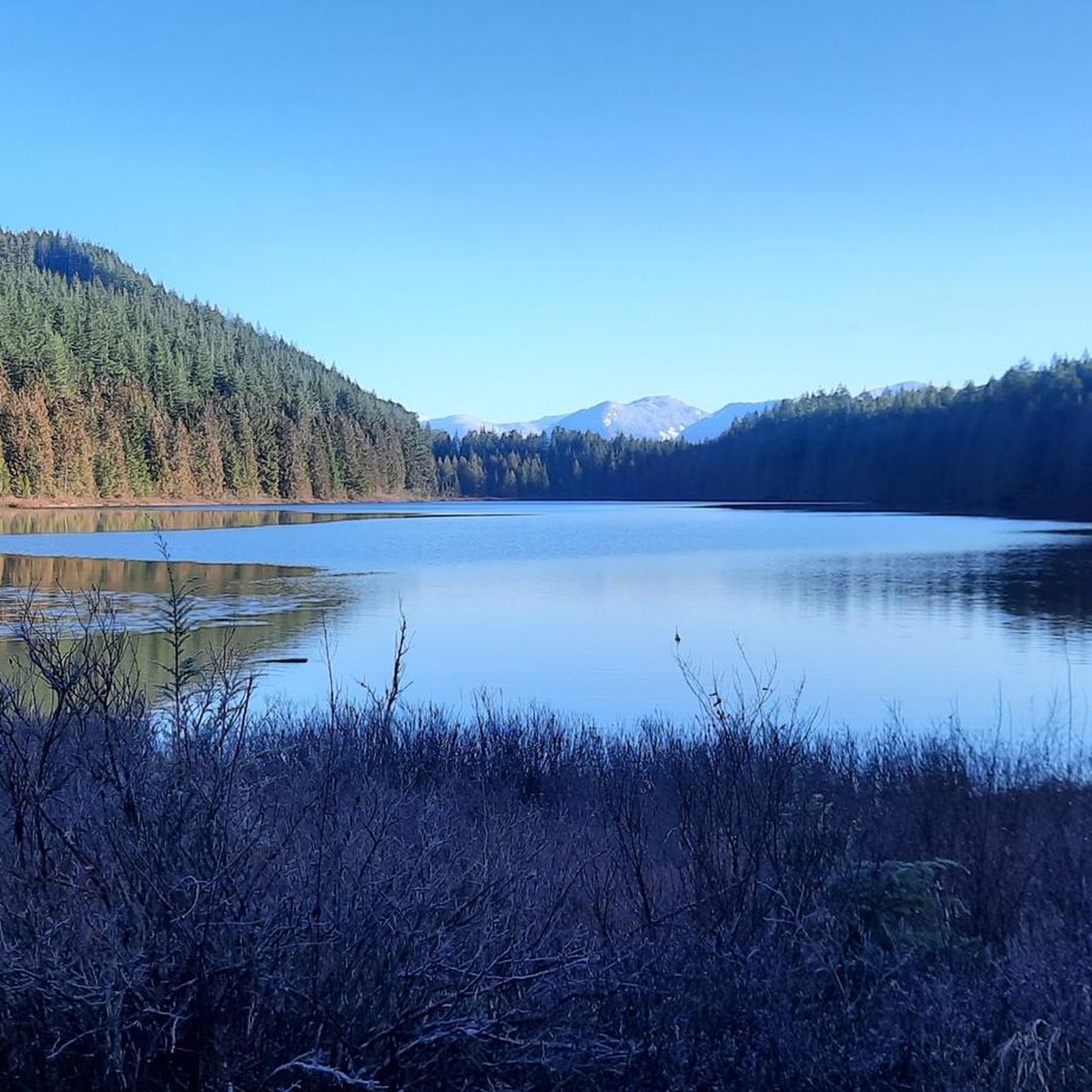

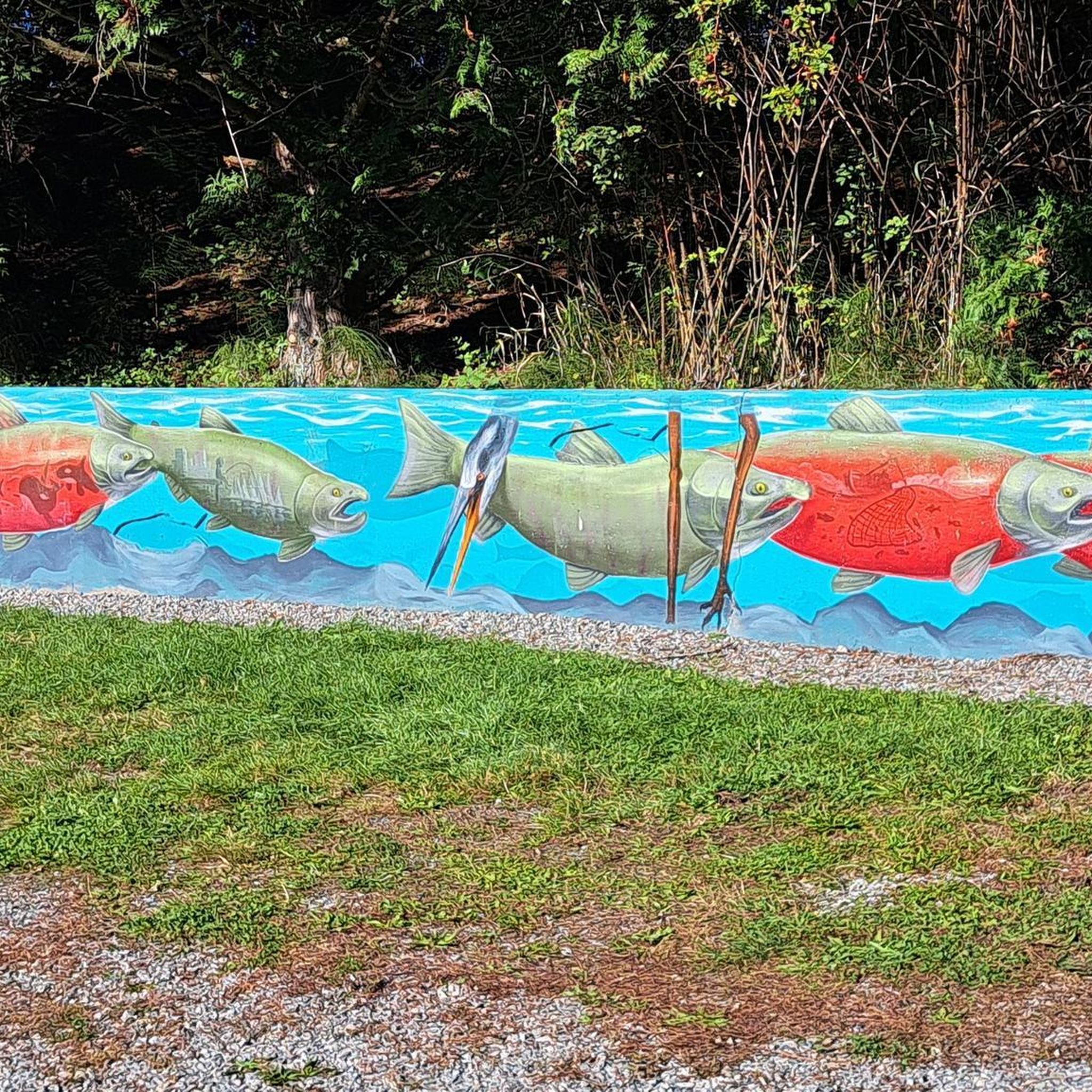
Tips from the Community

The Alouette River was formerly known as the Lillooet River, but the name was changed since there is a larger, more well known river that had the same name. The name Alouette was chosen for the simple reason that it sounds similar to Lillooet, but French speakers will recognize that it means lark.
0
0
Derby Reach stretches along a calm bend of the Fraser River, where open fields, quiet forests, and wide riverside trails make for easy wandering. You'll find a mix of flat shoreline paths and the hillier Houston Trail loop with some multi-use trails open to hikers, joggers, cyclists, and even horseback riders. A large campground sits right at the water’s edge, with picnic shelters, washrooms, drinking water, and plenty of space to settle in for the night. Dogs are welcome on‑leash throughout most of the park, with a large off‑leash zone near Edgewater Bar. In short, you'll find that Derby Reach delivers a peaceful break with all the essentials close at hand.
0
0
The Canyon to Coast trail runs for 550 kilometers between Hope and the Salish Sea. This particular section follows the Fraser River through parkland, nature reserve and historic sites as it nears its end at the sea.
0
0

lived here: Wilfred John “Winky” Muench (b. 1899) married Emma Elizabeth Trattle (née Wright), a nurse and midwife in Fort Langley. Together, they raised a blended family of seven children and two step‑sons. Emma originally arrived in Langley in 1911 and worked locally before first marrying Alfred Trattle, who died in World War I
1
0
The Golden Ears Greenway, located in Surrey, BC, near Langley, is a 4-km (2.7-mile) paved, multi-use trail ideal for walking, cycling, and rollerblading. Rated as easy with minimal elevation gain, it takes about 13–30 minutes to complete. This white-coded path runs along a BC Hydro right-of-way, connecting Fraser Heights to the Golden Ears Bridge and Tynehead Regional Park.
0
0
The Tynehead Bridge, also known as the Tynehead Pedestrian Overpass, is a key feature of Surrey’s Greenway Network in Surrey, BC, near Langley. This illuminated pedestrian and bicycle bridge crosses Highway 1 at 168th Street, connecting Fraser Heights to Tynehead Regional Park. Completed in 2011 by HRC Construction for $5.1 million, it features a light-based artwork by John Webber, “Seasons in the Park,” which changes colors with seasons and events, enhancing its aesthetic appeal at night. The 4-meter-wide, 5.6-km-long paved bridge supports walking, cycling, rollerblading, skateboarding, and wheelchair access, linking to the park’s trails, Serpentine Fields, and a 2.5-hectare dog off-leash area. It’s a vital link for accessing the park’s nature trails, salmon hatchery, and picnic areas.
0
0
The Tynehead Greenway, located in Surrey, BC, near Langley, is a 2-km (1.2-mile) paved, multi-use trail in Tynehead Regional Park, ideal for walking, cycling, and trail running. This flat, easy path, taking about 15 minutes to complete, is part of Surrey’s Greenway Network, connecting Fraser Heights to the park via an illuminated pedestrian overpass at 168th Street. It runs through the Fleetwood Tynehead neighbourhood, near the Serpentine River’s headwaters, offering views of salmon spawning from October to December, especially near Bothwell Park
0
0
St. George's Anglican Church in Fort Langley, BC, is a historic Carpenter Gothic-style church established in 1859 and consecrated in 1901. Located at 9160 Church Street, it remains an active parish known for its inclusive community and heritage architecture.
0
0
Frequently Asked Questions
How many touring cycling routes are available in Kanaka Creek Regional Park?
Kanaka Creek Regional Park offers a wide selection of touring cycling routes, with over 30 options available. These routes cater to various skill levels, from easy to difficult, allowing cyclists to explore the park's diverse landscapes.
What kind of terrain can I expect when touring cycling in Kanaka Creek Regional Park?
The park features a diverse range of terrain suitable for touring cyclists. You'll find mostly well-paved surfaces, especially along the Fraser Riverfront and sections of the Trans Canada Trail. However, some routes may include more challenging, unpaved segments. The Riverfront area generally offers a flatter experience, while other parts of the park can include gentle elevation changes through forests and along the creek.
Are there any circular touring cycling routes in Kanaka Creek Regional Park?
Yes, there are several circular touring cycling routes available. For example, the Alouette River – Heron Rookery loop from Port Haney is an easy 13.3-mile (21.4 km) path offering scenic views. Another popular option is the Edge Farm Trail – Fort-to-Fort Trail loop from Maple Ridge, which is 7.6 miles (12.3 km) long and leads through coastal forests and along riverfront areas.
What natural features or attractions can I see along the touring cycling routes?
While cycling, you can experience the park's rich natural beauty. Key attractions include the scenic Kanaka Creek itself, which flows through sandstone canyons and past impressive Cliff Falls. The Riverfront area offers trails along the Fraser River with three-story viewing towers for bird and wildlife watching. You might also encounter the Bell-Irving Hatchery, which plays a vital role in salmon conservation.
Can I see wildlife while cycling in Kanaka Creek Regional Park?
Yes, Kanaka Creek Regional Park is home to a wide array of wildlife. Cyclists often spot over 130 species of birds, including hawks and eagles, especially near the Fraser River. During spawning season, you might observe salmon in Kanaka Creek. While less common, the park also hosts mammals like deer, coyotes, and occasionally black bears or bobcats, so it's always good to be aware of your surroundings.
Are there options for beginner touring cyclists in Kanaka Creek Regional Park?
Absolutely. Kanaka Creek Regional Park has numerous easy routes perfect for beginners. For instance, the Alouette River – Heron Rookery loop from Port Haney is an easy 13.3-mile (21.4 km) path with minimal elevation gain. Another accessible option is the Derby Reach Regional Park loop from Maple Ridge, an easy 10.1-mile (16.3 km) route.
What do other touring cyclists enjoy most about touring cycling in Kanaka Creek Regional Park?
The area is highly rated by the komoot community, with an average score of 4.6 stars from over 150 reviews. Reviewers often praise the diverse landscapes, from Fraser River frontage to coastal rainforests, and the variety of trails suitable for different abilities. Many appreciate the scenic views and the opportunity to connect with nature.
Are there any longer touring cycling routes for experienced riders?
For experienced touring cyclists looking for a longer challenge, the park offers routes like the Kanaka Creek Fish Fence – Hayward Street Bridge loop from McBarge. This route is 42.9 miles (69.1 km) long and features significant elevation gain, providing a more demanding and rewarding experience.
Is there parking available for cyclists at Kanaka Creek Regional Park?
Yes, Kanaka Creek Regional Park provides designated parking areas for visitors. Specific parking locations can be found at various access points to the park, including near the Riverfront area, which is a popular starting point for many cycling routes. It's advisable to check the park's official website or a detailed map for the most convenient parking for your chosen route.
What is the best time of year to go touring cycling in Kanaka Creek Regional Park?
The park is enjoyable for touring cycling throughout much of the year. Spring and fall offer pleasant temperatures and vibrant scenery, with salmon spawning visible in the creek during autumn. Summer is also popular, though it can be warmer. Winter cycling is possible, but conditions may vary, with some trails potentially being wet or muddy, so checking local weather and trail conditions is recommended.
Are there any routes that connect to other regional parks or trails?
Yes, sections of the Trans Canada Trail pass through Kanaka Creek Regional Park, offering connections to a broader network of trails. Additionally, routes like the Brae Island Regional Park – Holy Redeemer Church loop from Fort Langley National Historic Site extend beyond the immediate park boundaries, allowing you to explore neighboring areas and attractions.
Most popular routes in Kanaka Creek Regional Park

Get inspired with the komoot mobile app


Explore more
Browse the best Cycling routes in other regions.
