The best MTB trails in Burns Bog Ecological Conservancy Area
25
riders
5
rides
Mountain bike trails in Burns Bog Ecological Conservancy Area are generally found on the periphery of this unique raised peat bog, often utilizing gravel access roads and paths in adjacent parklands. The region is characterized by its distinct wetland ecosystem, with surrounding areas offering varied terrain for cycling. While the core conservancy area is protected and features boardwalks for pedestrian access, nearby routes provide opportunities to explore the broader landscape.
Best mountain bike trails in Burns Bog Ecological Conservancy Area
…Last updated: August 6, 2026
4
riders
72.8km
04:43
150m
150m
Moderate mountain bike ride. Good fitness required. Suitable for all skill levels.
6
riders
Moderate mountain bike ride. Good fitness required. Advanced riding skills necessary.

Sign up for free
12
riders
4.85km
00:30
110m
110m
Easy mountain bike ride. Great for any fitness level. Suitable for all skill levels.
2
riders
Moderate mountain bike ride. Good fitness required. Suitable for all skill levels.
3
riders
49.4km
02:44
130m
130m
Moderate mountain bike ride. Good fitness required. Suitable for all skill levels.
Our route recommendations are based on thousands of hikes, rides, and runs completed by other people on komoot.
Start today with a free account
Your next adventure awaits.
Login or Signup
Popular around Burns Bog Ecological Conservancy Area
Tips from the Community

Watershed Park protects one of the largest remaining old-growth forests in Metro Vancouver, with wide trails winding beneath towering western red cedars, Douglas firs, and western hemlocks. Ferns, moss-covered trunks, and a dense canopy create a classic coastal rainforest setting, while the mostly level terrain makes for easy walking. Although the park is best known for its extensive mountain biking trail network, many of the trails also make excellent hiking routes. Just stay alert for cyclists and follow posted trail signs, particularly at intersections and on narrower sections.
0
0

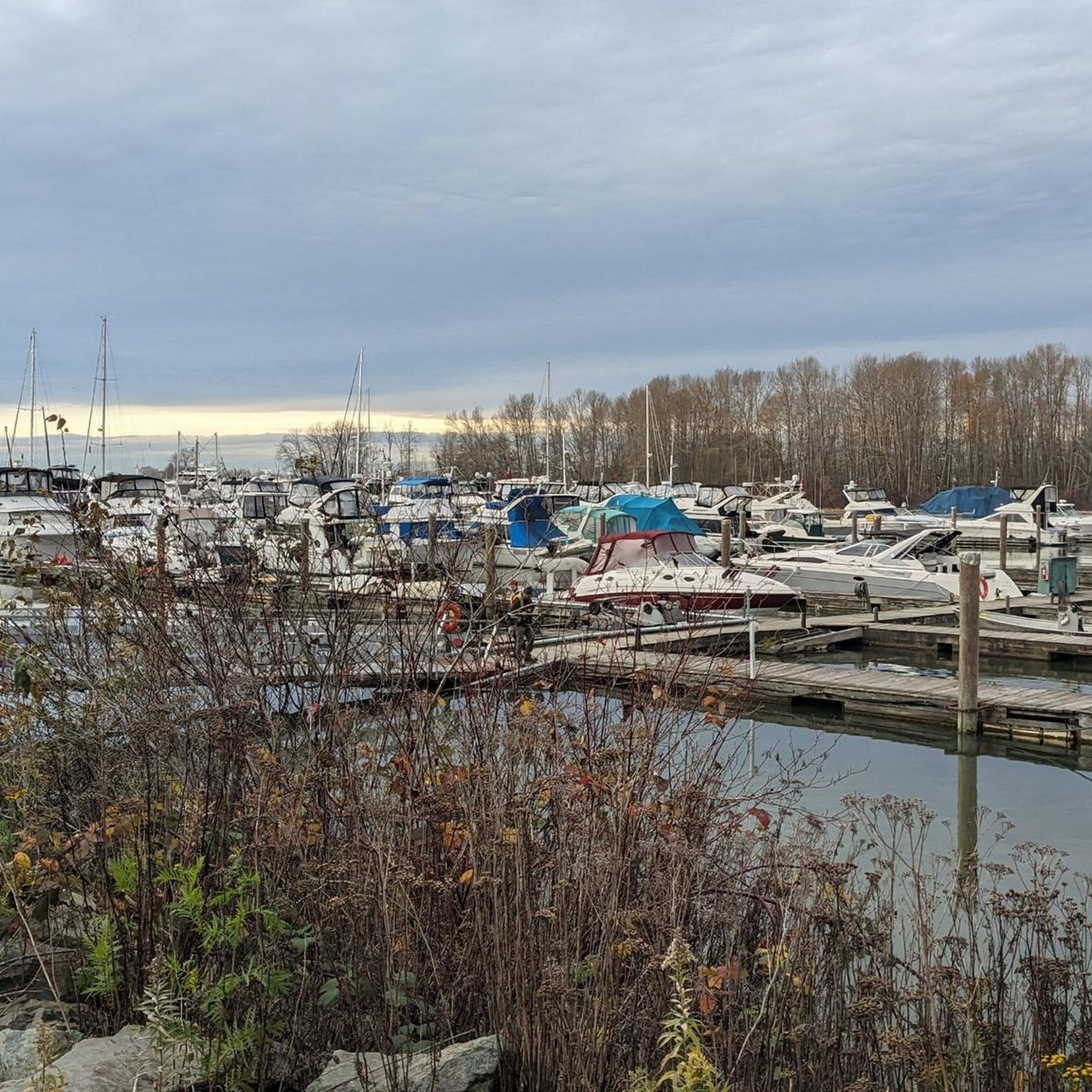
Set along the Fraser River this well equipped park has picnic tables, river views, basketball & tennis courts, and two playgrounds. It's a great place to bring the family or meet friends to relax or play by the river.
0
0
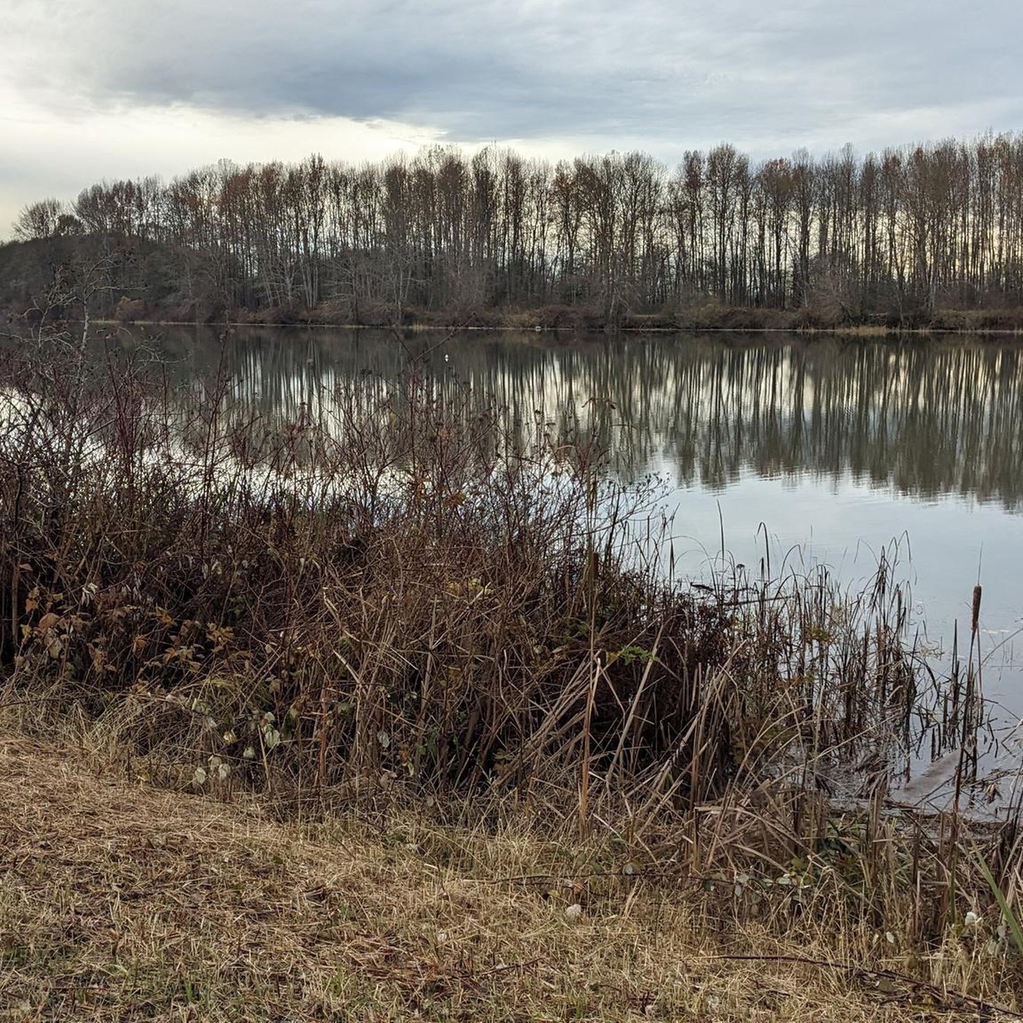
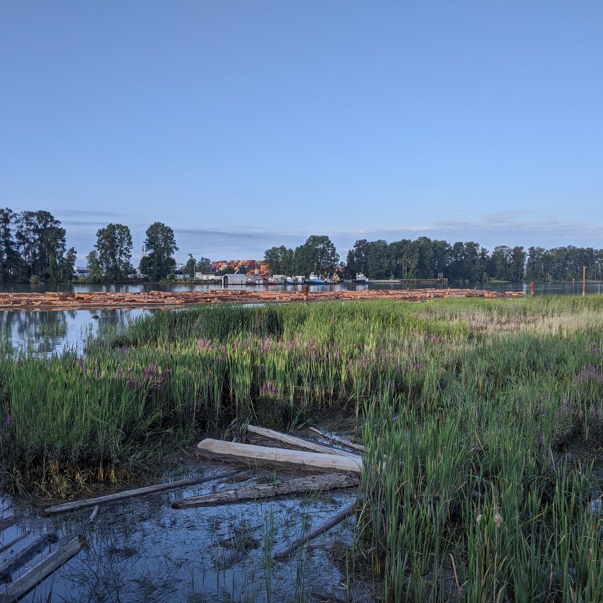
Running as close to the river as possible this trail passes through quiet neighbourhoods and parks with views across the Fraser River the whole way. It's a multi-use trail so expect to see walkers, joggers, cyclists, and more on the path with you.
0
0

The tin soldier was revealed in 2000 and moved to the pier in 2001, and a time capsule was placed inside it upon its construction. The soldier was modeled after a Royal Engineer, and while it was apparently intended to represent kindness and inclusion, many have instead seen it as a monument to colonisation. In 2025, Brandon Gabriel used light projection to turn the soldier into an indigenous Salish Welcome Figure.
0
0

Boundary Bay Wildlife Management Area protects a vast stretch of intertidal mudflats, salt marsh, and eelgrass habitat along Boundary Bay. The area supports large numbers of migratory shorebirds and waterfowl, making it one of the most important bird habitats on Canada’s Pacific coast. Its accessible trails, consistent bird activity, and ever-changing tidal scenery make it an especially rewarding place to explore on foot or by bike.
0
0
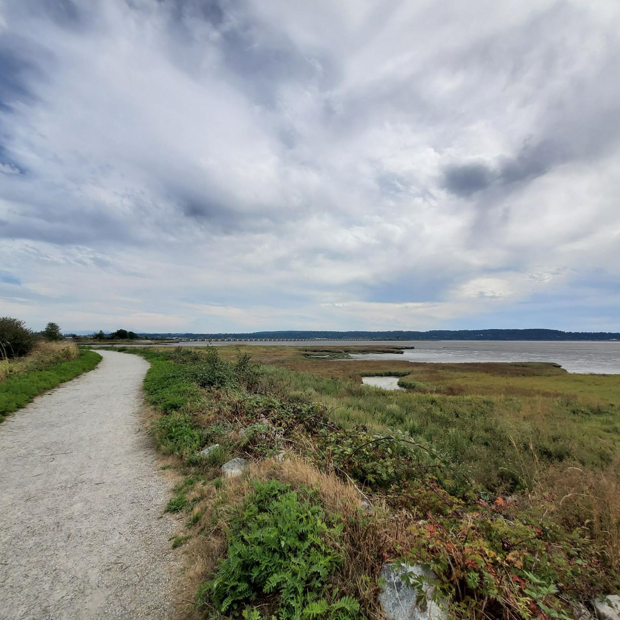
Boundary Bay Dyke Trail is a long, flat route along the shoreline, with uninterrupted views across mudflats and the open water. Its wide gravel surface is ideal for walking and cycling, with plenty of benches and access points along the way. Set along a major migratory route, the trail is especially known for birdlife and beautiful, expansive coastal scenery.
1
0
Beach Grove Park is a lovely mix of open lawns with pockets of mature trees, with flat, well-kept paths that wind through the park, connecting playgrounds, sports courts, picnic areas, and off-leash spaces. Its laid-back, neighbourhood feel makes it a convenient spot for a quick stroll or casual time outdoors.
0
0
Joe Brown Park has its own multi-use trail system as well as connections to the wider ranging Delta-South Surrey Regional Greenway and Serpentine Greenway. You'll also find a dog park, sports fields, and Panorama Ridge Riding Club.
0
0
Frequently Asked Questions
Can I mountain bike directly within the Burns Bog Ecological Conservancy Area?
The core Burns Bog Ecological Conservancy Area is a sensitive wetland primarily protected for its unique ecosystem. Mountain biking is generally restricted within the conservancy itself, with public access often limited to boardwalks for pedestrian use. Mountain bike routes in this guide are found on the periphery, utilizing gravel access roads and paths in adjacent parklands, allowing you to experience the broader landscape without disturbing the bog's delicate environment.
What kind of terrain can I expect on mountain bike trails near Burns Bog?
Mountain biking routes in the vicinity of Burns Bog Ecological Conservancy Area are characterized by gravel paths and trails through adjacent parklands. You'll find varied terrain, including sections near coastal areas and through regional parks like Deas Island Regional Park. The routes generally offer a mix of flat sections and moderate elevation changes.
Are there easy mountain bike trails suitable for beginners near Burns Bog?
Yes, there are easy mountain bike trails available. For instance, the Goats Trail loop from Cougar Canyon Environmental Reserve is an easy 4.3-mile (7.0 km) route with a moderate elevation gain, taking about 44 minutes to complete. Another easy option is the Goats Trail loop from Watershed Park, which is 3.0 miles (4.8 km) long.
What are some longer or more challenging mountain bike routes in the area?
For those seeking longer rides, the Goats Trail – Deas Island Regional Park loop from Alex Fraser Bridge is a moderate 45.5-mile (73.2 km) path that includes sections through Deas Island Regional Park. Another moderate option is the Rain Garden loop from George Massey Tunnel, a 33.4-mile (53.8 km) trail that typically takes around 3 hours 32 minutes to complete.
Are the mountain bike trails near Burns Bog suitable for families?
While the core bog area is not for biking, the surrounding parklands offer routes that can be suitable for families, especially the easier, shorter loops. The gravel paths and relatively moderate terrain on routes like the Goats Trail loop from Cougar Canyon Environmental Reserve can be enjoyable for families looking for a less strenuous ride.
Can I bring my dog on the mountain bike trails?
Policies regarding dogs vary by specific parkland and trail section. While some areas may permit dogs on leash, it's always best to check the regulations for the particular park or trail you plan to ride, especially since the Burns Bog area is ecologically sensitive. Always ensure your dog is under control and clean up after them.
What is the best time of year to go mountain biking near Burns Bog?
The region experiences a temperate climate. Spring and fall generally offer pleasant temperatures for mountain biking. While winter riding is possible, conditions can be wet, and some trails might be muddy. Summer can be warm, so consider riding earlier or later in the day. Always check local weather conditions before heading out.
Are there any notable natural features or wildlife I might see while mountain biking?
While mountain biking is on the periphery, the broader Burns Bog area is known for its unique ecosystem. You might encounter diverse bird species, as the bog is a major migratory stopover on the Pacific Flyway. Beavers, black-tailed deer, and various insects like dragonflies are also residents. The accessible Delta Nature Reserve, with its boardwalks, offers a closer look at the bog's unique flora, including carnivorous plants like sundew, though these areas are not for biking.
How many mountain bike routes are available in this guide for the Burns Bog area?
This guide features 7 mountain bike routes in the Burns Bog Ecological Conservancy Area and its surrounding parklands. These include 2 easy routes and 5 moderate routes, offering options for various skill levels.
What do other mountain bikers say about the trails near Burns Bog?
The routes in the Burns Bog Ecological Conservancy Area are highly rated by the komoot community, with an average score of 5.0 stars from 5 reviews. Over 60 mountain bikers have used komoot to explore the varied terrain, often praising the accessible gravel paths and the opportunity to cycle through adjacent parklands.
Where can I find parking or access trails via public transport?
Specific parking availability varies by trailhead. Many routes start from established parks or accessible points like the Alex Fraser Bridge or George Massey Tunnel, where parking may be available. For public transport, you would need to research local bus routes that serve the specific starting points of the trails you are interested in, as direct access to all trailheads via public transport may not be universally available.
Are there any loop mountain bike trails available?
Yes, many of the mountain bike routes in this guide are loops. Examples include the Goats Trail loop from Cougar Canyon Environmental Reserve, the Goats Trail – Deas Island Regional Park loop from Alex Fraser Bridge, and the Rain Garden loop from George Massey Tunnel. Loop trails are convenient for starting and ending at the same point.
Most popular routes in Burns Bog Ecological Conservancy Area

Get inspired with the komoot mobile app


Explore more
Browse the best MTB trails in other regions.
