The best cycling routes in Lynn Headwaters Regional Park
4.7
(189)
2,406
riders
50
rides
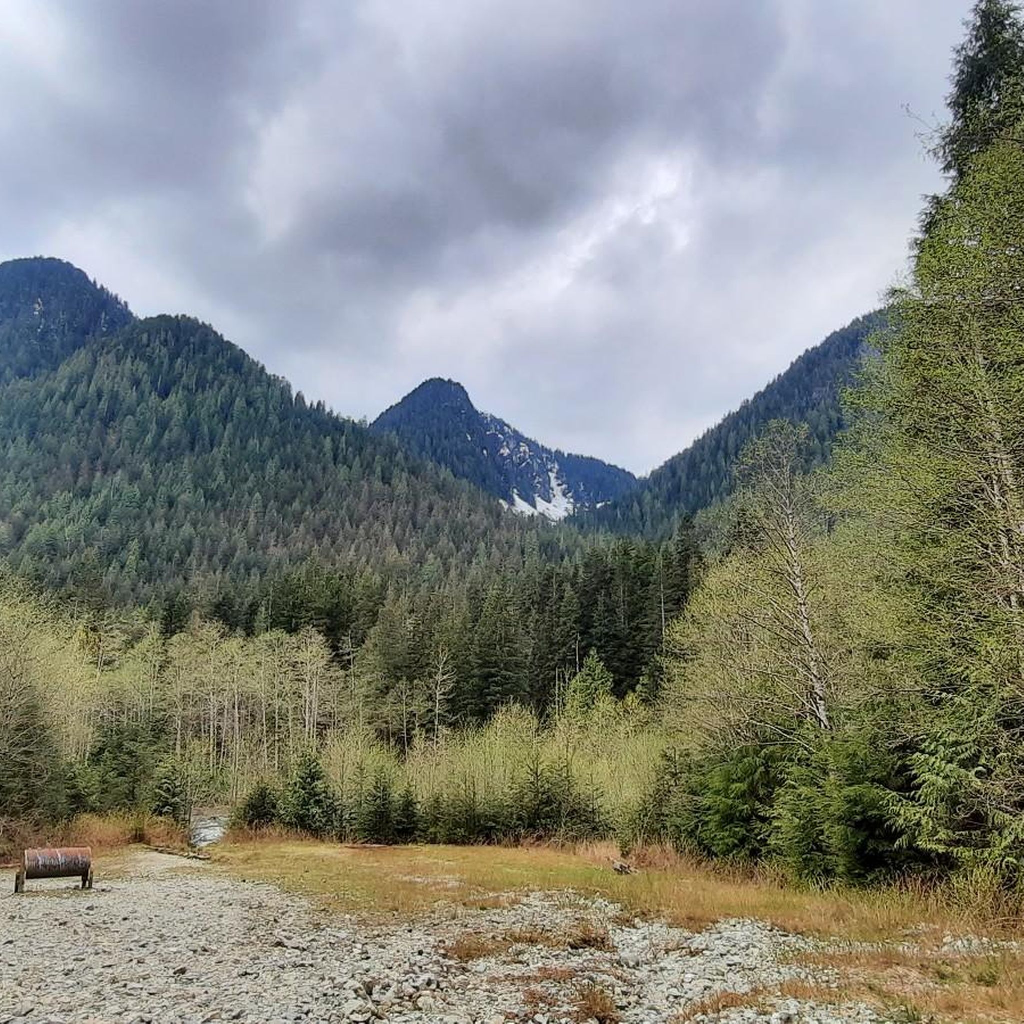
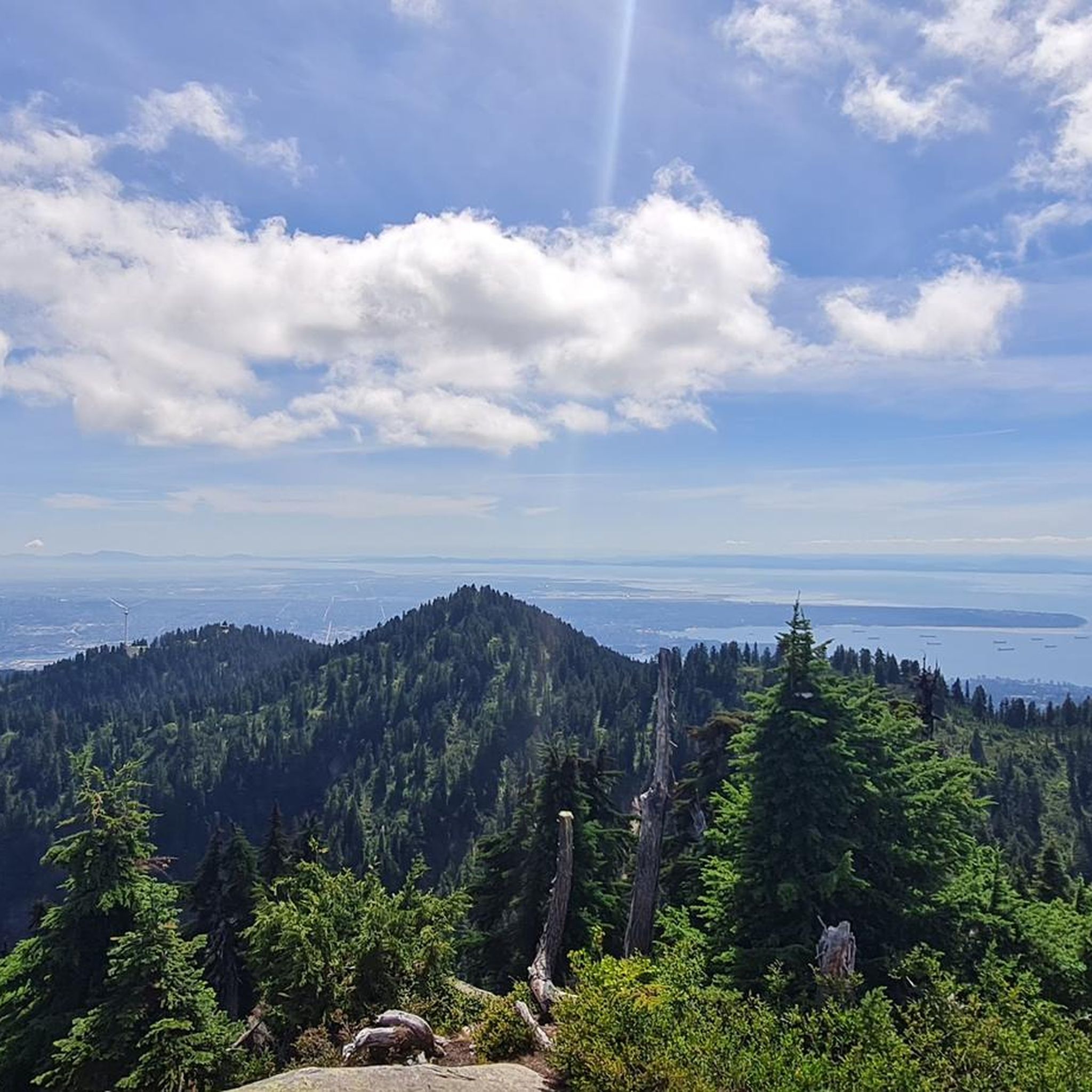
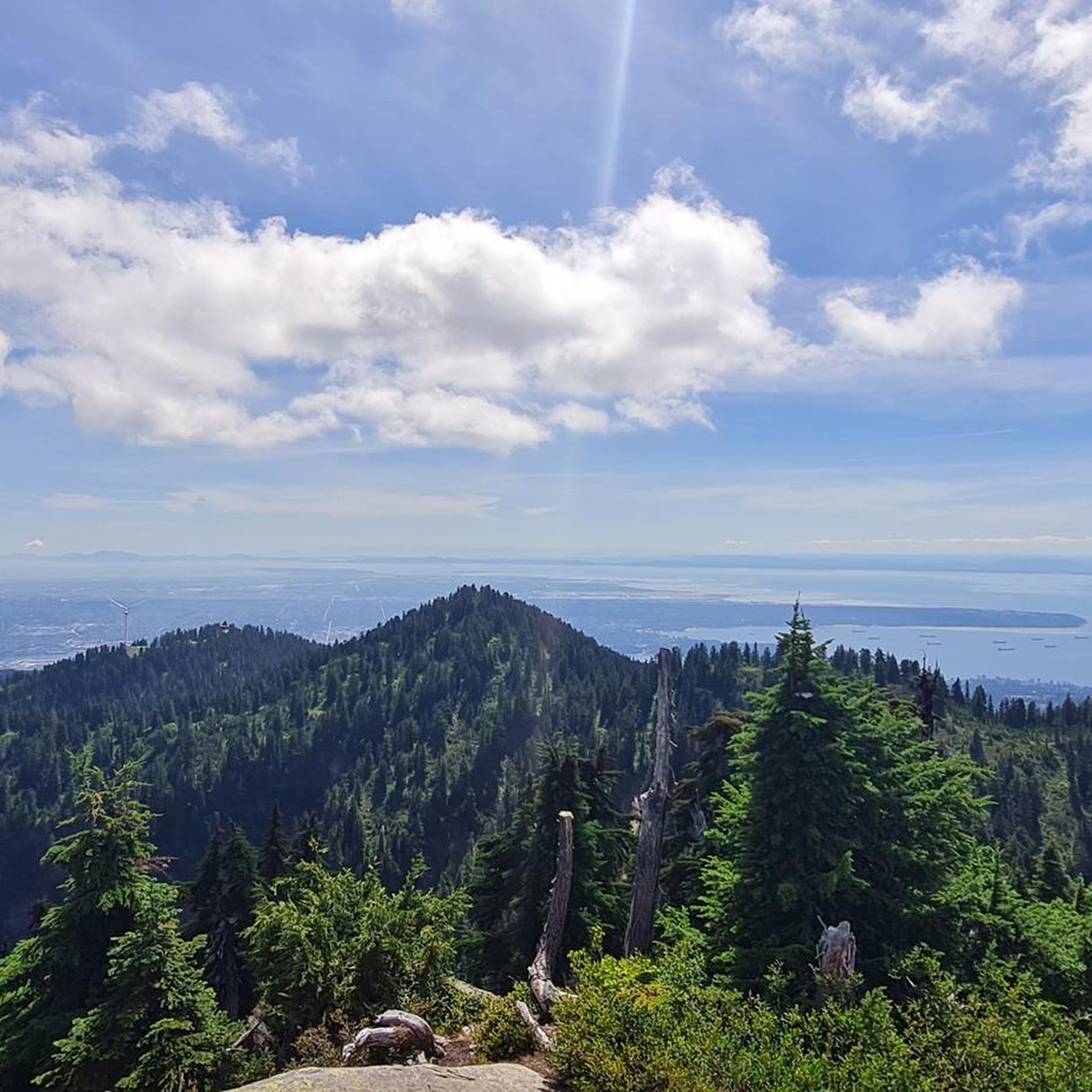
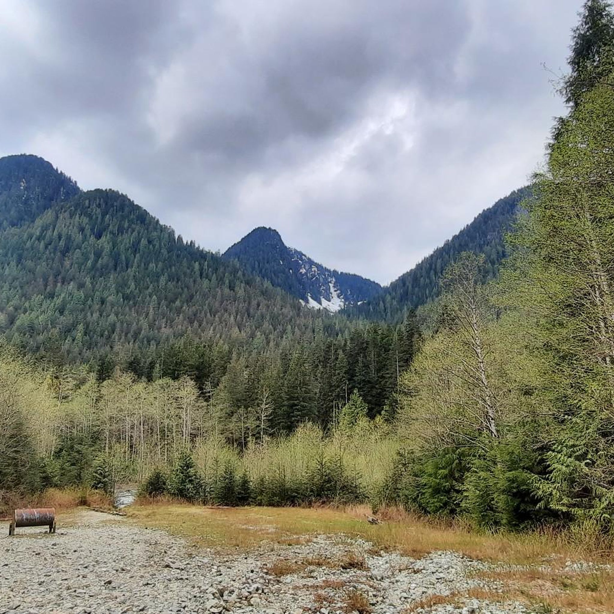
Touring cycling routes in Lynn Headwaters Regional Park navigate a landscape characterized by lush temperate rainforest, the flowing Lynn Creek, and views of the North Shore mountains. The park offers a mix of terrain, including mostly paved surfaces and some multi-use dirt or gravel roads. Elevation gains vary across the area, providing options from gentle rides to more challenging ascents. This environment supports diverse cycling experiences within a natural setting.
Best touring cycling routes in Lynn Headwaters Regional Park
- The most popular touring cycling route is Pipeline Bridge loop from Lynn Valley, a 5.0 miles (8.0 km) trail that takes about 50 minutes to complete. This moderate route features mostly paved surfaces and scenic views along Lynn Creek.
- Another top favourite among local touring cyclists is Bridgeman Park Bridge – 3rd Street Bike Bridge loop from Hoskin Rd (SB) at Dempsey Rd, a moderate 14.6 miles (23.5 km) path. This route offers a blend of paved sections and natural scenery.
- Local touring cyclists also love the View of Deep Cove and Marina – Seymour Trailway loop from Lynn Valley, a 20.8 miles (33.5 km) trail leading through varied terrain with views of Deep Cove and the Seymour Trailway, often completed in about 2 hours 15 minutes.
- Touring cycling in Lynn Headwaters Regional Park is defined by lush forests, the picturesque Lynn Creek, and connections to wider trail networks. The network offers options for different ability levels, from easy spins to more challenging excursions.
- The routes in Lynn Headwaters Regional Park are highly rated by the komoot community with an average score of 4.7 stars from over 150 reviews. More than 2,300 touring cyclists have used komoot to explore Lynn Headwaters Regional Park's varied terrain.
Last updated: October 8, 2026
7
riders
8.09km
00:50
180m
180m
Moderate bike ride. Good fitness required. Mostly paved surfaces. Suitable for all skill levels.
4.0
(1)
16
riders
Moderate bike ride. Good fitness required. Mostly paved surfaces. Suitable for all skill levels.

7
riders
7.90km
00:44
150m
150m
Hard bike ride. Good fitness required. You may need to push your bike for some segments of this route.
4.7
(3)
60
riders
52.3km
03:24
680m
680m
Hard bike ride. Very good fitness required. Mostly paved surfaces. Suitable for all skill levels.
5.0
(3)
19
riders
19.5km
01:34
360m
360m
Moderate bike ride. Good fitness required. Mostly paved surfaces. Suitable for all skill levels.
Get access to more routes and recommendations from other explorers.
Already have an account?
Our route recommendations are based on thousands of hikes, rides, and runs completed by other people on komoot.
Start today with a free account
Your next adventure awaits.
Tips from the Community

Foot access is the name of the day for this neighborhood trailhead. From here, the Baden Powell Trail heads quickly up a steep set of stairs and into a particularly tree root-laden section of forest.
0
0

Ray Perrault Park is located in the Grandview–Woodland neighborhood and covers a full city block. The park features open green space, a playground, sports courts, and a splash pad that is popular with families during the summer months. It also includes a community garden, which adds to its role as a local gathering place.
0
0

Easy to access, with a few tables and benches available.
0
0

A really beautiful place to walk.
3
0
Lynn Canyon Park is a 617-acre municipal park. It features a network of hiking trails, waterfalls, and the Lynn Canyon Ecology Centre. The park has also been featured in several television series over the years.
0
0

Anything to help me get out of Greater Vancouver is a good thing.
0
0

The Seymour River Suspension Bridge was completed and opened in December 2018. This made it possible to walk the Fisherman's Trail (North) all the way through again. After the former Twin Bridges had to be demolished in 2014 following a rockslide and damming of the Seymour River, there was no longer a crossing at this point in the Lower Seymour Conservation Reserve. The Twin Bridges were originally built in 1908 to carry pipelines and were later supplemented by a parallel pedestrian bridge. Years later, the two bridges were combined to form one bridge. https://www.vancouvertrails.com/blog/seymour-river-suspension-bridge/
2
0
Frequently Asked Questions
How many touring cycling routes are available in Lynn Headwaters Regional Park?
Lynn Headwaters Regional Park offers a wide selection of touring cycling routes, with over 50 options to explore. These routes cater to various skill levels, including 16 easy, 30 moderate, and 12 difficult trails.
What kind of terrain can I expect on touring cycling routes in Lynn Headwaters Regional Park?
The routes in Lynn Headwaters Regional Park feature a mix of terrain. You'll find mostly paved surfaces, which are ideal for touring bikes, alongside some multi-use dirt or gravel roads. Many routes follow the picturesque Lynn Creek, offering scenic views within the lush temperate rainforest.
Are there any family-friendly touring cycling routes in Lynn Headwaters Regional Park?
Yes, there are several family-friendly options. The park has 16 easy touring cycling routes that are suitable for a more relaxed ride with family members. These routes often feature gentler gradients and smoother surfaces.
What do other touring cyclists say about the routes in Lynn Headwaters Regional Park?
The touring cycling routes in Lynn Headwaters Regional Park are highly regarded by the komoot community, holding an average rating of 4.7 stars from over 150 reviews. Cyclists often praise the beautiful forest scenery, the presence of Lynn Creek, and the varied terrain that offers something for everyone.
Are there any notable natural features or landmarks I can see while cycling?
While cycling in and around Lynn Headwaters Regional Park, you can enjoy views of the North Shore mountains and the flowing Lynn Creek. Some routes, like the View of Deep Cove and Marina – Seymour Trailway loop from Lynn Valley, offer glimpses of Deep Cove and the Seymour Trailway. The historic BC Mills House is also near the park entrance, providing a glimpse into the area's past.
Are there any loop cycling routes in the park?
Yes, many touring cycling routes in the area are loops, allowing you to start and end at the same point. Examples include the popular Pipeline Bridge loop from Lynn Valley and the Bridgeman Park Bridge – 3rd Street Bike Bridge loop from Hoskin Rd (SB) at Dempsey Rd.
What are the parking options for cyclists visiting Lynn Headwaters Regional Park?
Parking is generally available near the main entrance of Lynn Headwaters Regional Park. It's advisable to arrive early, especially on weekends, as parking lots can fill up quickly during peak seasons.
How can I reach Lynn Headwaters Regional Park using public transport?
Lynn Headwaters Regional Park is accessible by public transport. Several bus routes serve the North Vancouver area, with stops located within reasonable proximity to the park entrance. It's recommended to check TransLink's official website for the most current routes and schedules.
Can I bring my dog on the touring cycling routes?
Dogs are generally permitted in Lynn Headwaters Regional Park, but specific rules apply, especially concerning leashes and designated areas. While cycling, ensure your dog is always on a leash and that you adhere to all park regulations regarding pets. Always check the official Metro Vancouver Parks website for the most up-to-date pet policies.
What is the best season for touring cycling in Lynn Headwaters Regional Park?
The best season for touring cycling is typically from spring through fall, when the weather is milder and trails are generally dry. While some routes may be accessible in winter, conditions can vary with rain and occasional snow, making some sections more challenging or requiring specific gear. Always check current trail conditions before heading out.
Are there connections to other cycling networks from Lynn Headwaters Regional Park?
Yes, Lynn Headwaters Regional Park offers excellent connectivity. Cyclists can link to the Lower Seymour Conservation Reserve via the Lynn Creek Trails, significantly extending their touring possibilities and allowing for longer rides beyond the immediate park boundaries.
Are there any cafes or pubs near Lynn Headwaters Regional Park for a post-ride refreshment?
While there are no cafes or pubs directly within the park, the surrounding communities of Lynn Valley and North Vancouver offer a variety of options for refreshments, including cafes, restaurants, and pubs, which are easily accessible after your ride.
Most popular routes in Lynn Headwaters Regional Park
Most popular attractions in Lynn Headwaters Regional Park

Get inspired with the komoot mobile app


Explore more
Browse the best Cycling routes in other regions.
